I did not wait too long before coming back to the Chemin de Jura. The guide to the route advises two stages between St-Ursanne and the end of the trail at Saignelégier. I had walked from St-Ursanne to Saignelégier before, when walking the Trans Swiss Trail, and I had done it in one day. That was also listed as two stages in the route guide. However, while those two stages of the Trans Swiss Trail were just 27km, the two stages of the Chemin de Jura to get me to Saignelégier would be 39km. Nevertheless, I was resolved to do it in one day.
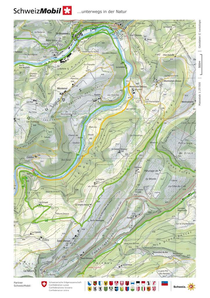
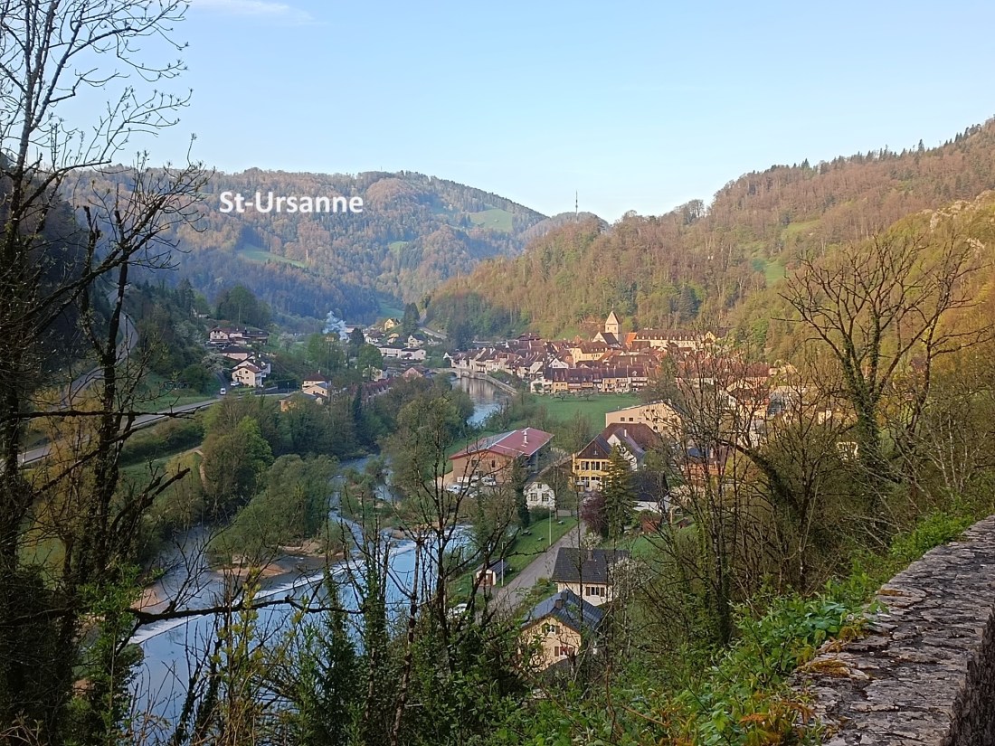
I made my way by train to St-Ursanne, arriving while it was still early, and walked down the hill into the town. It was early enough that very few people were about. The postman was just leaving the post office to start his round. As I left the town by way of the Porte Saint-Jean, the route was deserted except for one man walking his dog. We greeted each other and I went on over to the other side of the Doubs. Turning left, I passed a family enjoying the morning sunshine while having breakfast on their balcony. It was cold, and I wondered why people might be out like that. I myself was clad for warmer weather, but I was confident that the sun would be out, and I would warm up before long.

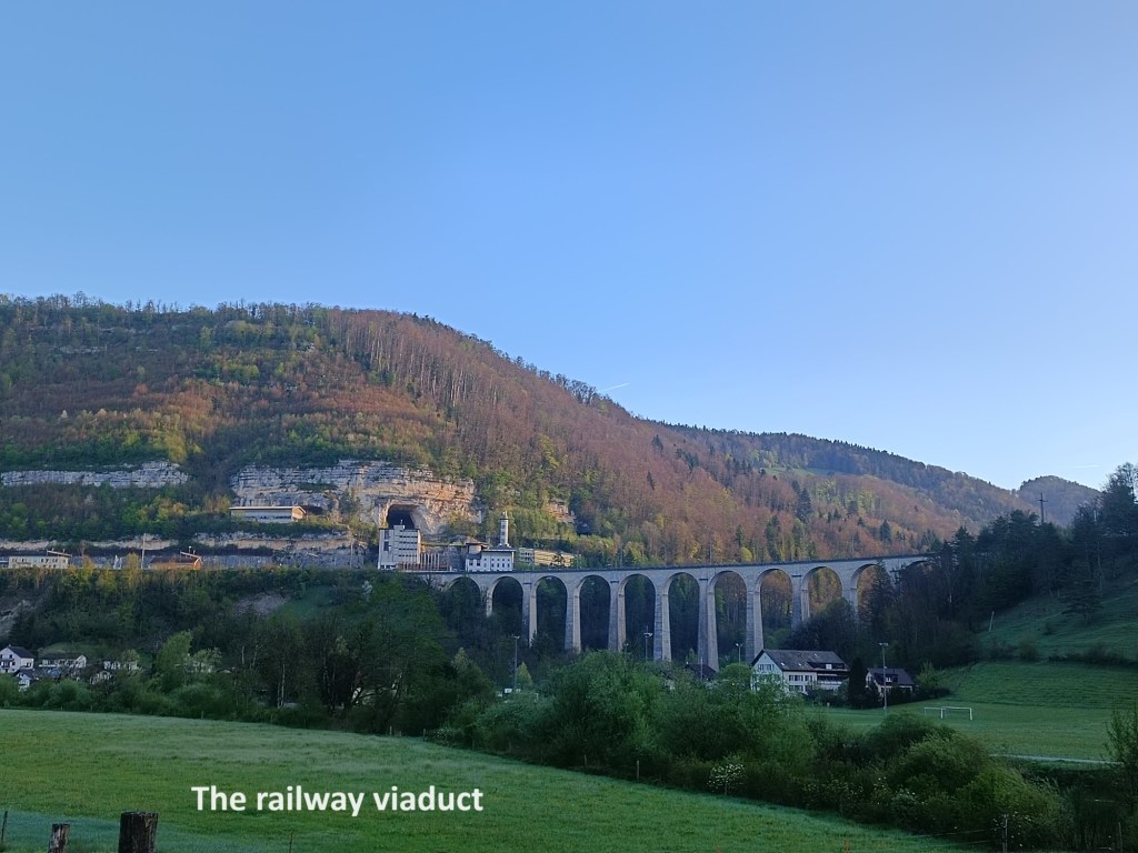
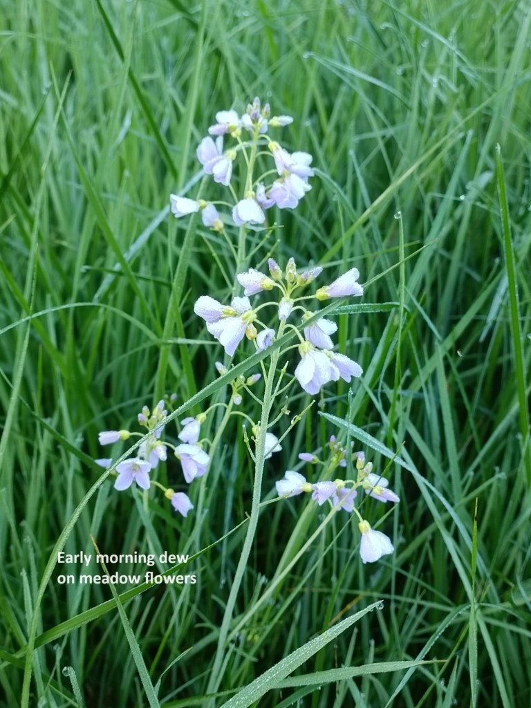
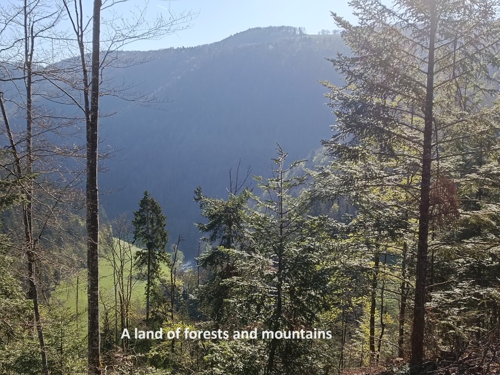
St-Ursanne is at a bend in the river, where it turns from flowing northwards to westwards. The trail follows the left bank of the river, going upstream. The St-Ursanne viaduct was visible away to the east. Going through meadows, there were other sights to take my attention: the wildflowers were in bloom, still carrying dew after the cold night.
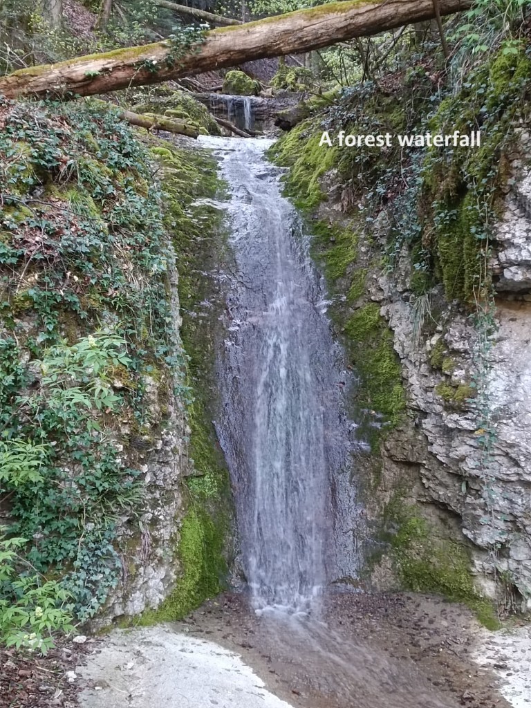
The trail is meant to continue following the left bank of the river for some distance, crossing the river on a ferry at Tariche before going up onto the nearby hill. However, the mappers had advised that the ferry was not operating, so there was a detour in place. Instead of crossing at Tariche, I crossed near Montmelon-Dessous and turned right. That route took me along roads at first, and then onto a forest trail. I passed a waterfall in the forest and soon reached the junction near Tariche. With the detour, I did not go into the settlement itself but took the fork leading towards the hill.
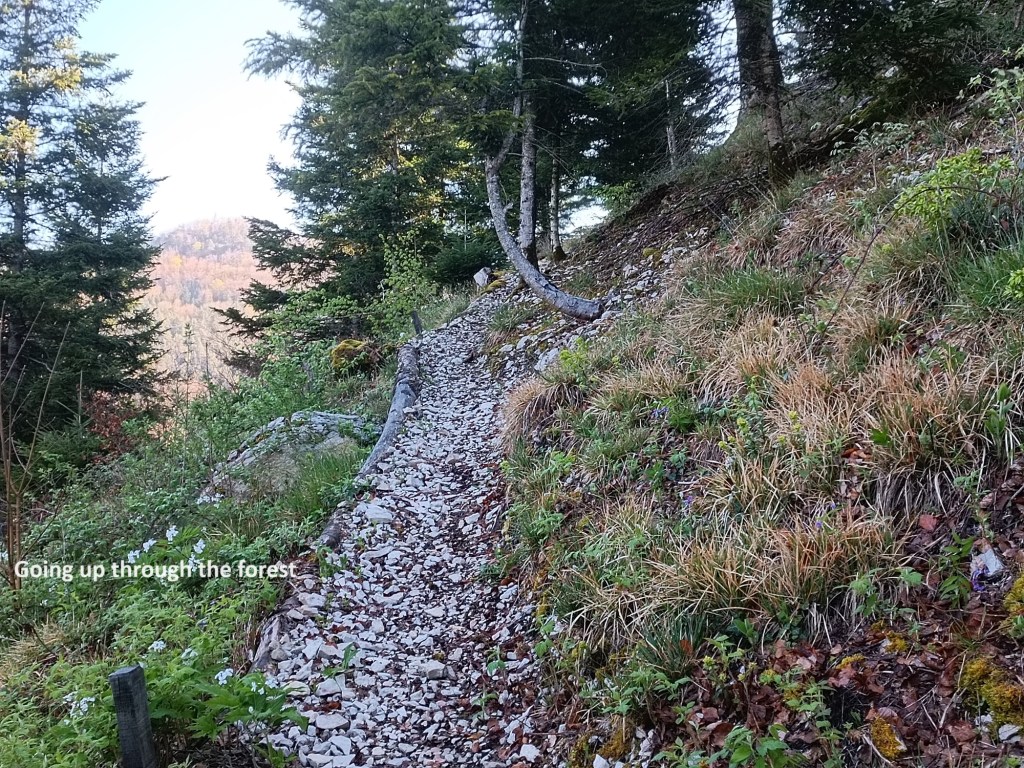
The trail follows a series of gently, but long zig-zags to gain height. It levels out and becomes wider close to the 600m contour. I was privileged there to see a fox come out of the undergrowth. There were a few valuable seconds before he realised my presence and then disappeared back into the vegetation. Being early on the trail has its rewards.
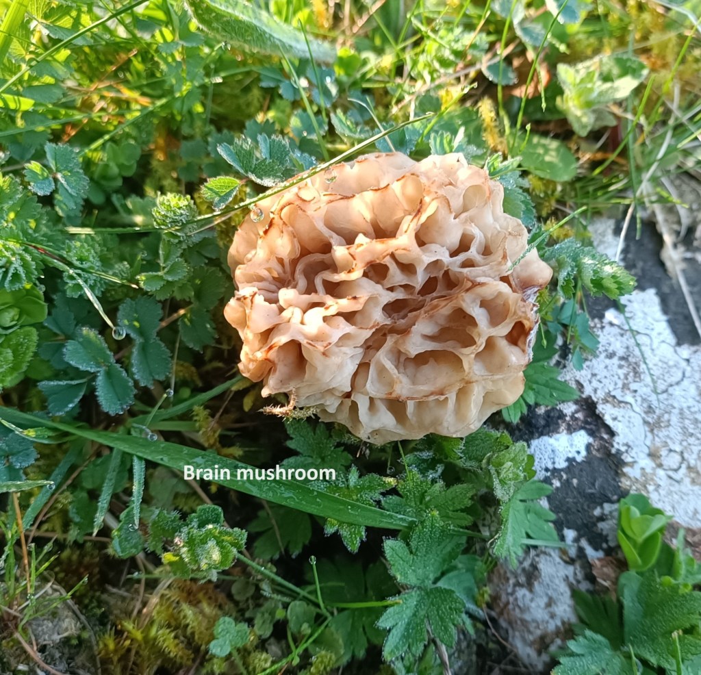
Going on up through forest and fields, I came across an interesting mushroom. This is one of those “brain mushrooms”, so called because their visual texture looks like that of the human brain. Some of them are edible, but many are poisonous. Either way, I was just happy to have seen this unusual specimen.
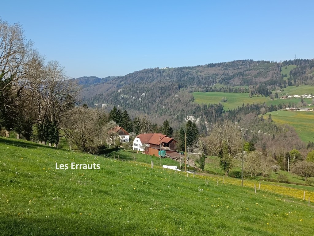
Reaching Les Errauts, I was back onto the road again, still going upwards. The sun was out, and the cold of early morning was gone. At Les Errauts, the farmer was mending a gate, while another man was working with the tractor. Springtime is a time of many tasks in the Swiss countryside.
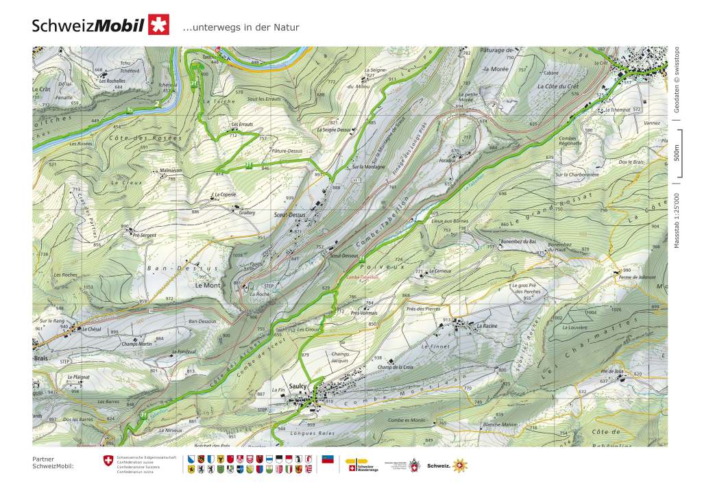
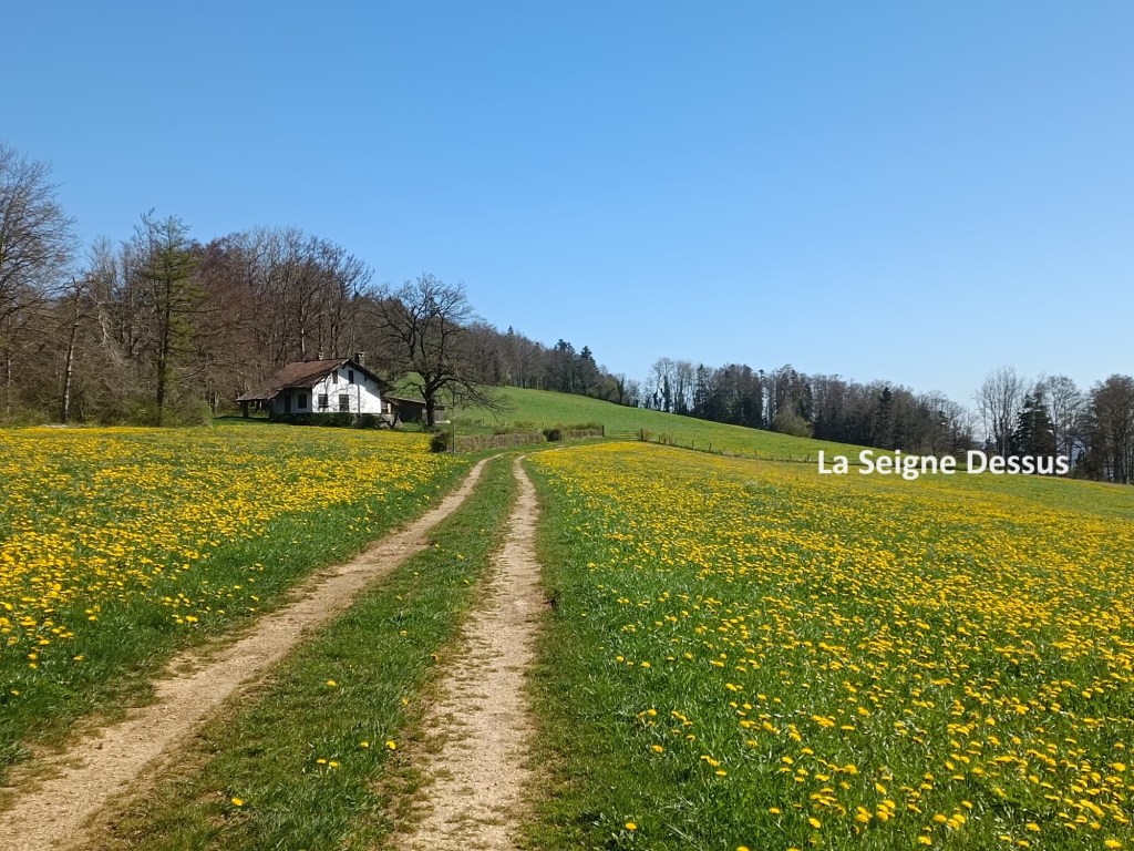
The road curves around before heading south. The trail turned off at 814m and follows a farm track northward, going over the hill at 891m. A few more twists and turns brought me onto the track going past La Seigne Dessus. It was a gentle ascent on up to the hilltop at 911m.
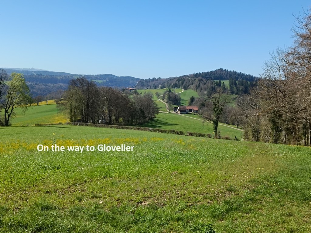

After that, it was almost all downhill to Glovelier. The track joined the road and followed it for a time before taking a sharp right turn and going down into the Combe du Bé. After that, there was a steep descent into Glovelier itself.
Glovelier is a residential village within the Delémont district of Jura canton. It has no claim to fame though it is mentioned in records as far back as 1139.
I was ready for lunch when I reached Glovelier. There is a hotel close to where the trail comes int o the village, but it was closed. The bar just beside it was also closed. I had to go into the centre of the village, but there I was able to get a good lunch. The Café de la Poste was a busy place, but I was able to enjoy a rest with refreshments in the sunshine.
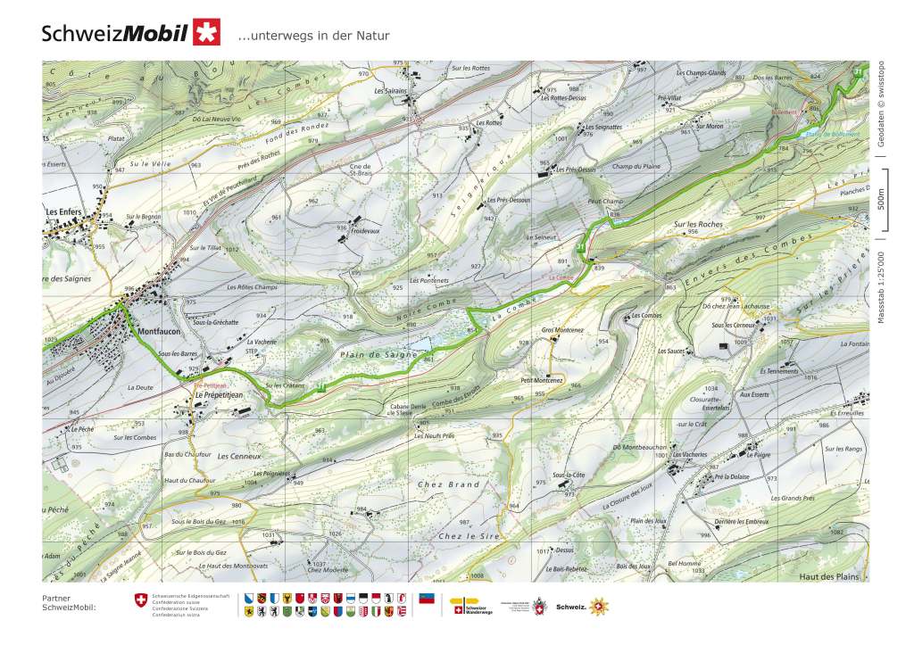
But then it was time to go on again. I took the road out of the village going south. The trail soon turned off to the right. On this smaller road, I passed a couple of farms, and then the road became a forest track. The trail follows the course of the stream Le Tabeillon. The stream was in a gully on my right, with the railway just beyond it. The railway goes from Glovelier all the way to La Chaux de fonds, using a narrow gauge. Trains passed me going both up and down the valley. My route continued in this way for several kilometres with a very gentle gradient, taking more than 3km to reach Combe Tabeillon. The railway does a switchback there, with the trains changing direction and going around the hill to gain height.
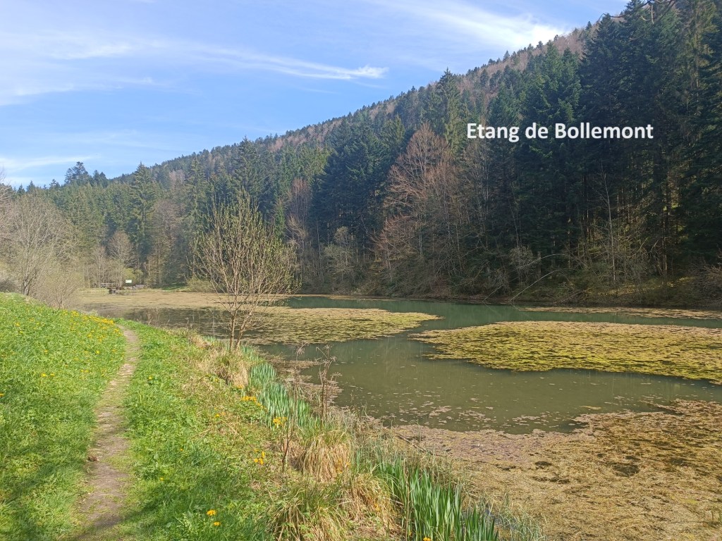
After that, I had left the railway and there was just the forest track. The gentle upward gradient continued. It was so gentle as to be almost flat, rising only a few metres in each kilometre travelled. Things continued in this way until I came to the Etang de Bollemont. I had expected that this mountain lake, at 772m above sea level, would be an expanse of crystal-clear water. But reality and expectations do not always coincide, and the lake was dark and murky, and much of it was covered in algae. So I went on.

The trail continued its gentle ascent from the lake. The railway line came back to join the route of the trail. And I continued on. There is another pair of lakes at the 830m contour, and these were much more inviting. The water was clear, creating an almost perfect reflection of the trees around. There were plenty of people nearby, fishing, strolling, or just relaxing in the sunshine.
The trail had not finished its ascent, however, and I kept going. I soon came to La Combe, where the Buffet de la Gare was a welcome sight. I stopped long enough to enjoy a beer, and then I was on my way again.

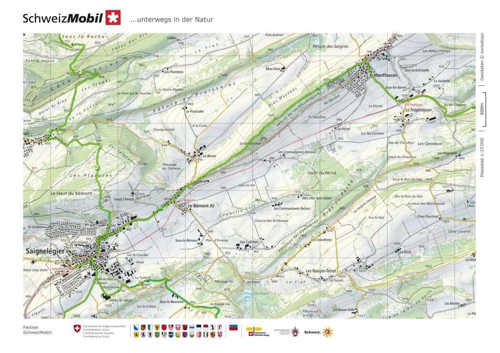
The trail had not finished its ascent, though that ascent continued to be very gentle. The railway and the trail continued on close together. Near La Combe, the trail crossed the railway. Then, later on, it crossed back again. I finally left the railway just after the maintenance depot at Pré-Petitjean, as I turned north to go to Montfaucon. As I turned north, I met a group of walkers emerging from a bar. As they spread out over the path, I had to ask to be allowed through. They happily obliged and explained that they had been enjoying a beer after walking so far. But when I explained that I had walked all the way from St-Ursanne, they were amazed. Their amazement was not just for the distance walked, but that I was still going faster than they were.
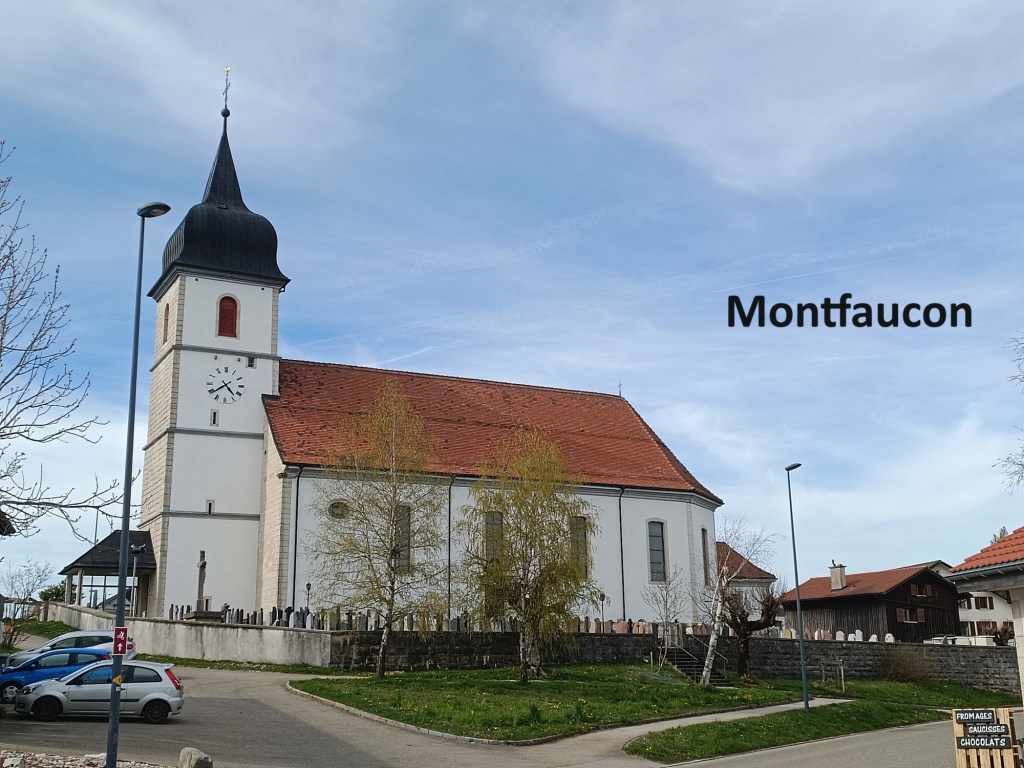
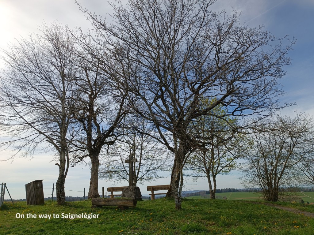
Montfaucon, at 929m above sea level is almost the highest point on the walk. That comes later at about 1030m. The trail turns at Montfaucon, and after that, it goes over that small rise before gently descending to Saignelégier. It goes through light forestry before reaching the road at Le Bémont. And then the trail follows the road into Saignelégier. It is a footpath walk, with cars passing by, which was something of an anticlimax at the send of such a walk. When I reached Saignelégier, I had forty minutes to wait for a train, which was just enough time for another well-earned beer. And then it was time to take the train back to Basel.
Saignelégier was the end of the Chemin de Jura, but it is by no means the end of walking. It does, however, mark the completion of the first of my three Swiss objectives for 2024. I might come back to this part of Switzerland, but there are other walks to complete first.
My total step count for the day was 65,013.