With the Chemin de Jura behind me, it was time to move on to the second of my Swiss objectives for 2024. I would still be in the jura region, but on a longer trail. The Via Jura goes from Basel to Biel. Its name is perhaps incorrect. Maybe it should be called the Via Birs. It follows the course of the river Birs from Basel southwards. It occasionally leaves the river, but never deviates very far, always coming back, until it finally reaches the source of the Birs, just after Tavannes.
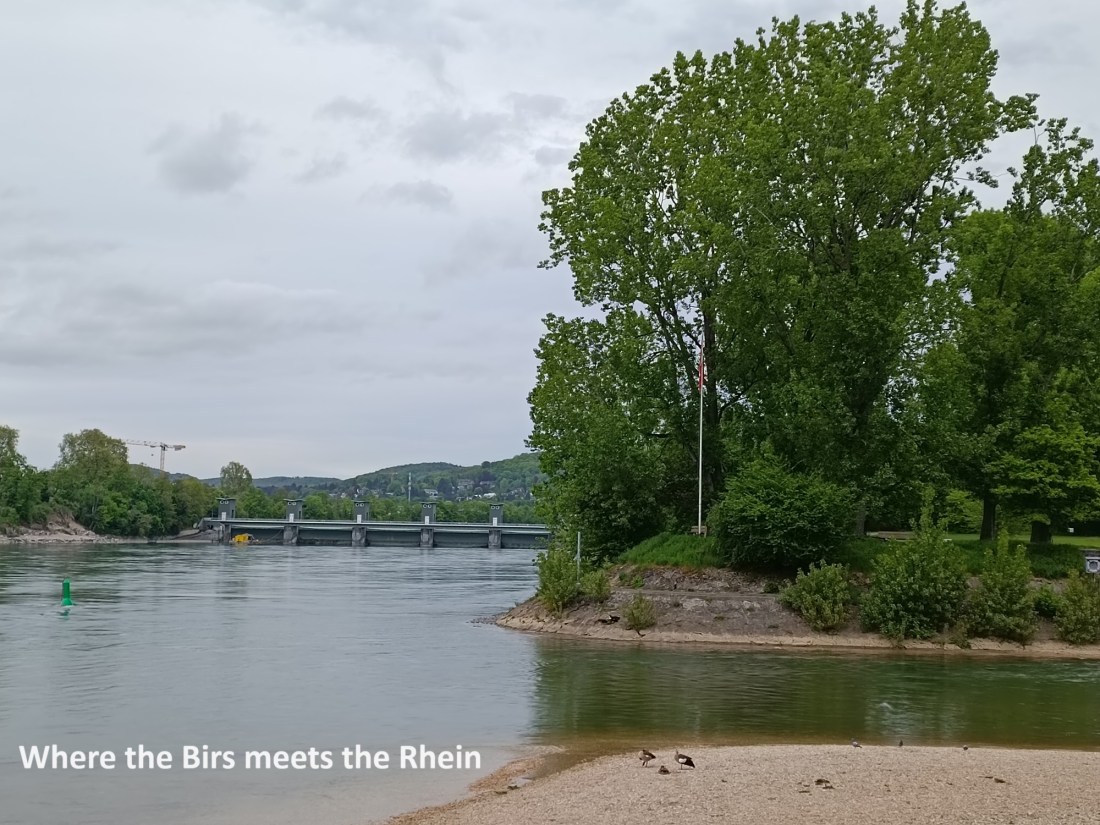
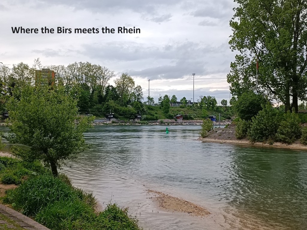
But I will come back to more about that later. I started my travels on the Via Jura at the end of April. Officially, the trail starts in the centre of Basel, but I chose to go directly to the mouth of the Birs where it enters the Rhein, a point that the official trail bypasses. But I reckoned that if I was going to follow this river, I might as well start at one end.
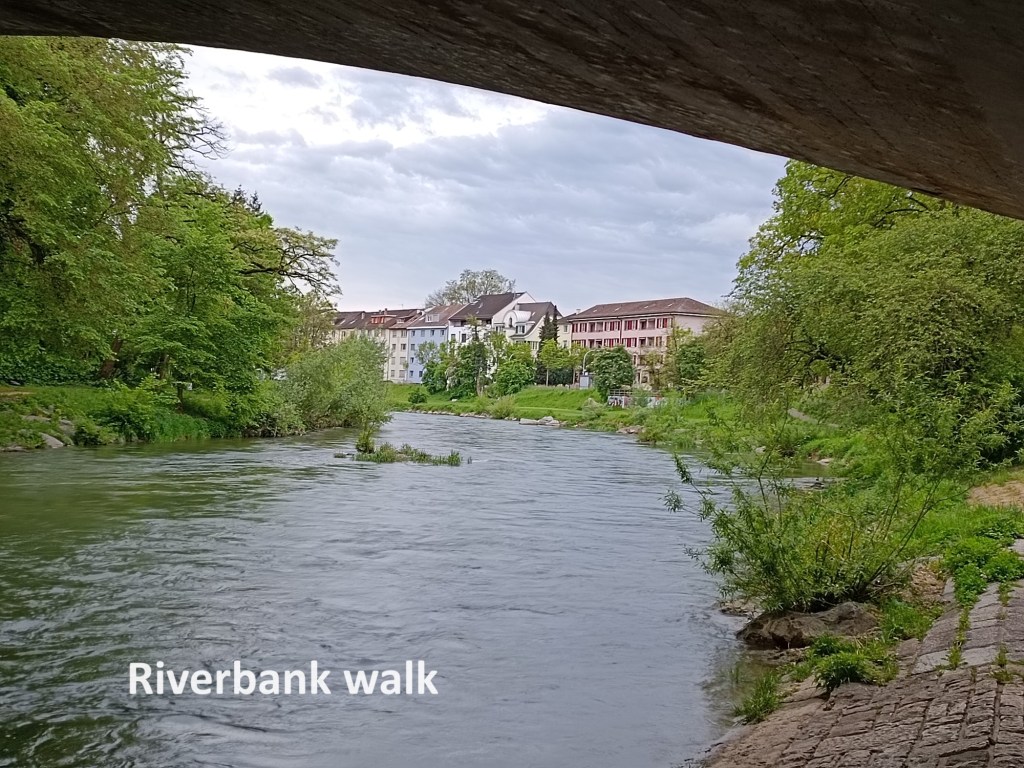
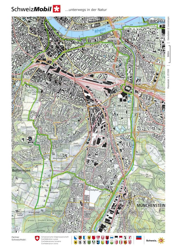
I don’t know if the Birs is prone to flooding, but the good burghers of Basel have taken no chances, leaving a broad expanse along side the river, with all the buildings on higher ground. The allowance for flooding has left a grassy walkway alongside the river, and I followed that to St. Jakob.
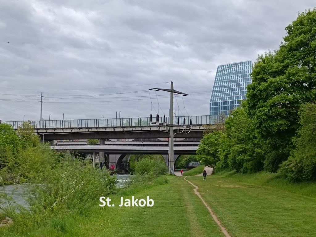
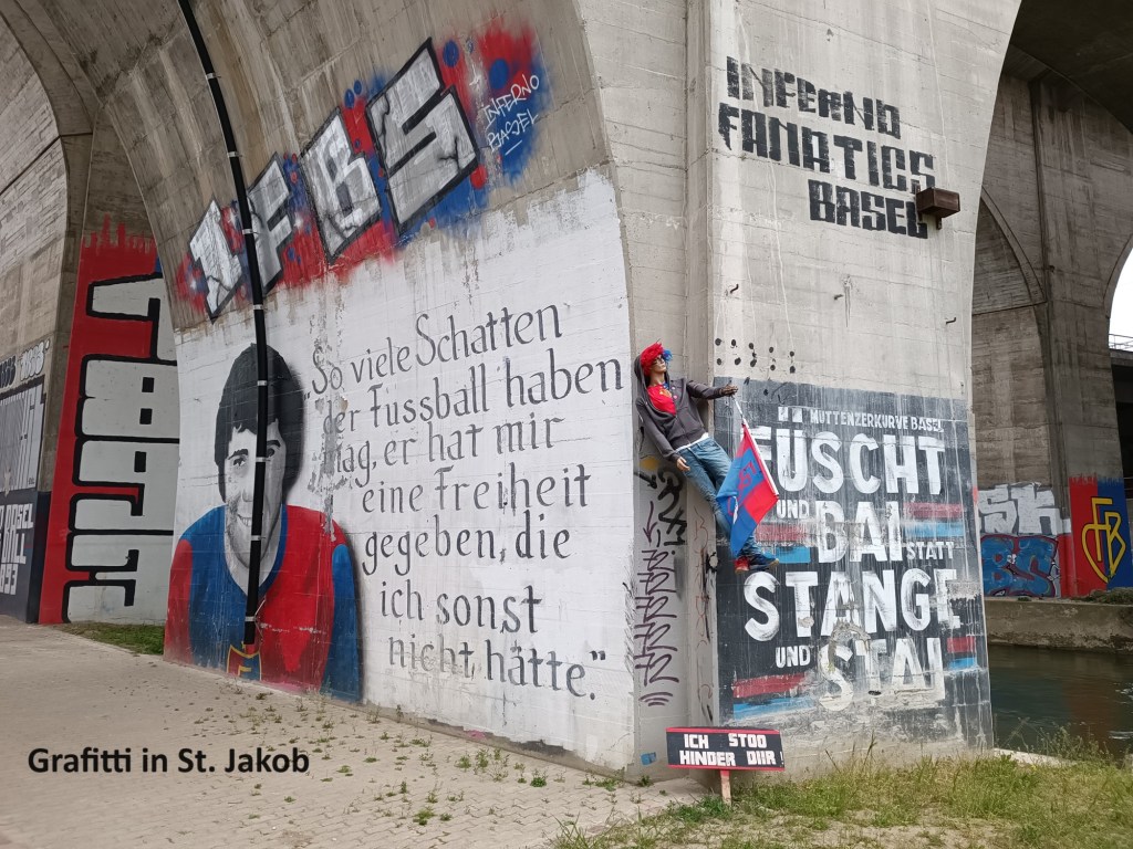
St. Jakob is the home of the football club, FC Basel. There is no denying that the club has some fanatical supporters, and they make their presence felt in the area close to the stadium.
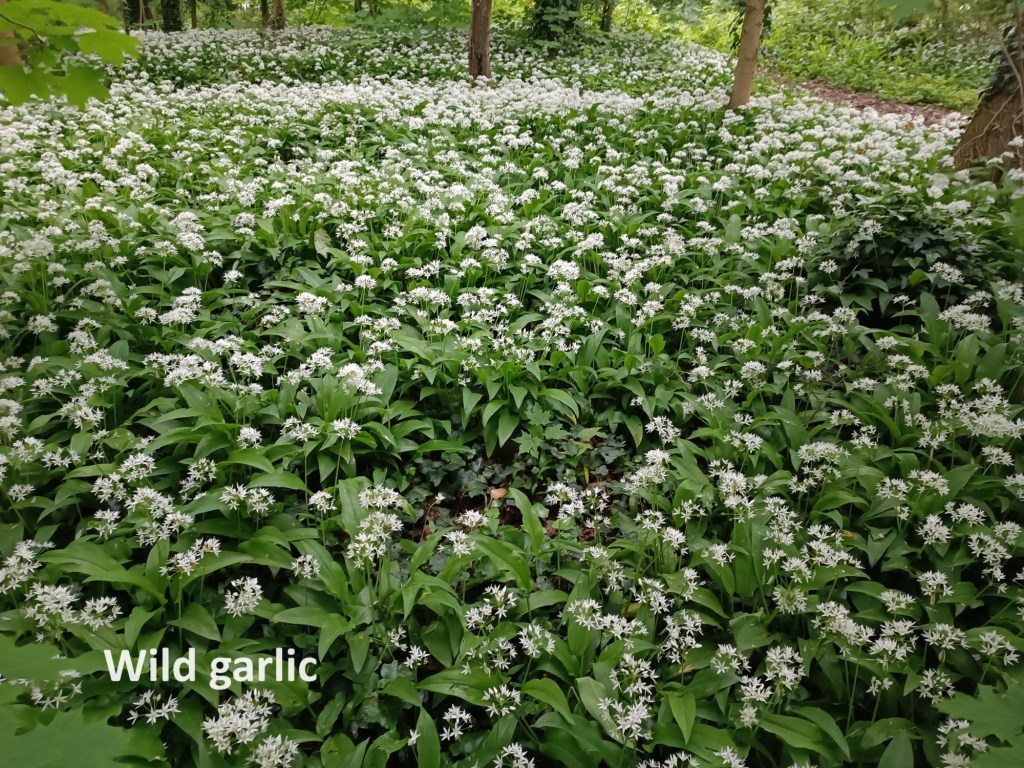
It being the end of April, the wild garlic was in full bloom, and the aroma of the plant was quite strong in places where the plant grew well.
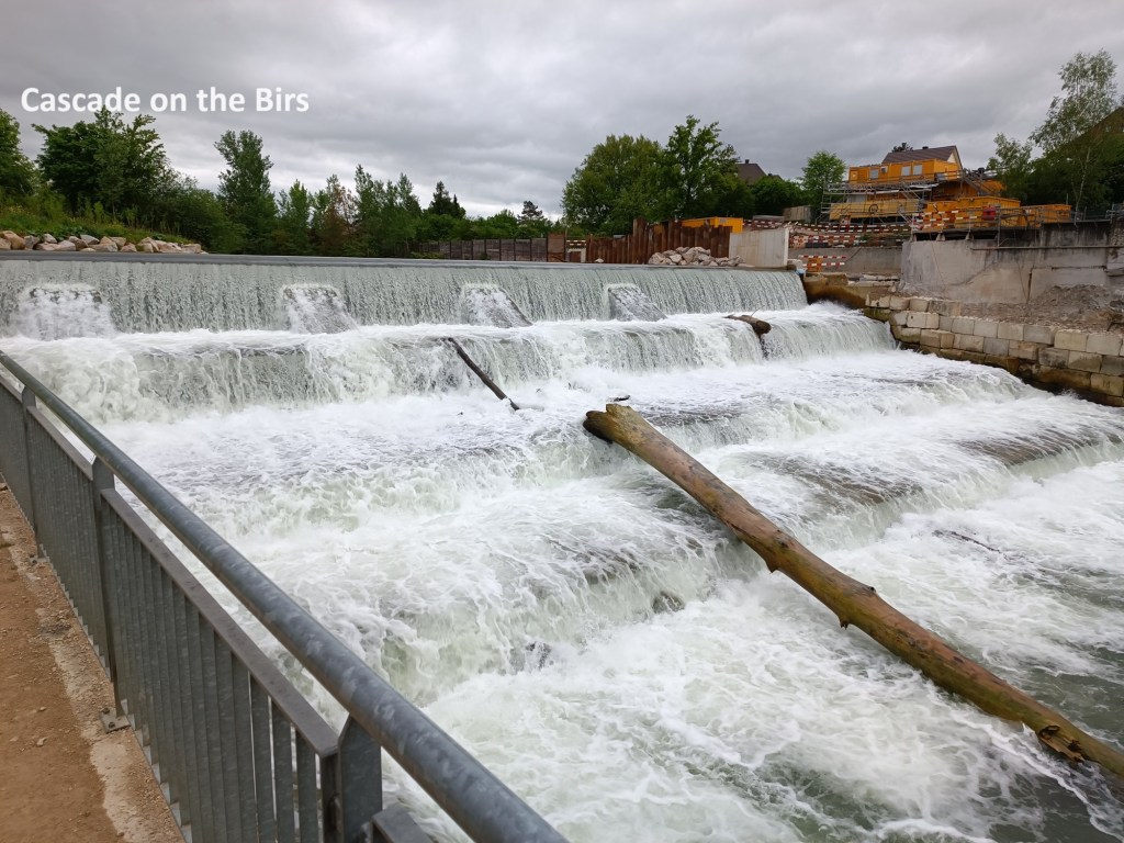
I crossed the Birs soon after St. Jakob. The route had been almost level up to then, ascending so gently as to be unnoticeable, but now there came a short steeper bit. The Birs cascades down the slope in this area. And then I came to Münchenstein. The route was blocked due to construction work on the road and rail bridges. I had to cross back over the Birs on the road bridge, and then find paths to get back on the trail. It meant that I missed crossing by another covered bridge in Münchenstein, only passing it instead.
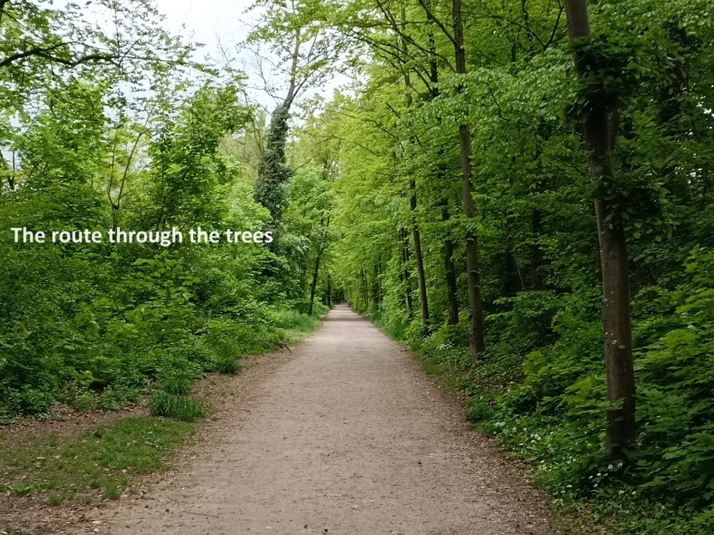
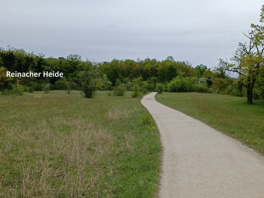
And then I was on a straight level path through a wooded area, with the river just a little to my left. Later, the surroundings opened up as I came to the Reinacher Heide.

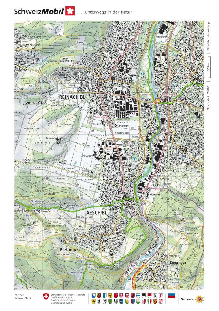
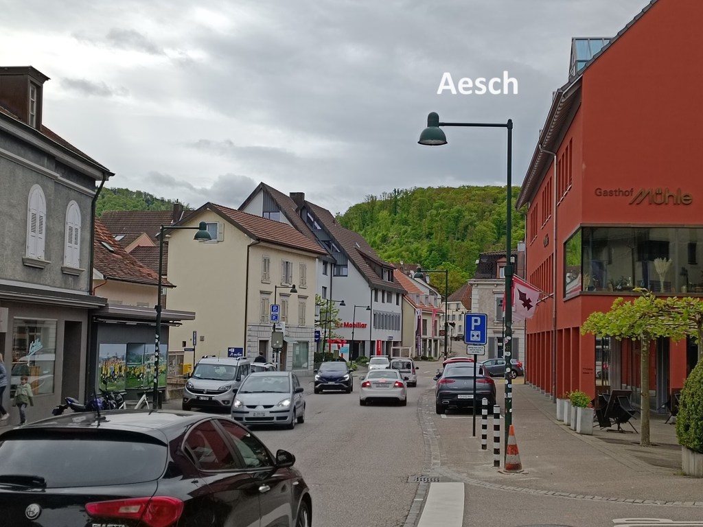
And then I was approaching Dornach. Reinach sits on the west side of the BIrs, with Dornach on the eastern side. The trail goes through a park alongside the river at this point. The bridge over the river into Dornach was blocked, again due to construction work. While the river separates Reinach from Dornach, there is almost no visible separation between Reinach and Aesch. I simply followed the trail onwards along the river to reach Aesch, turning away from the river to reach the centre of the village.
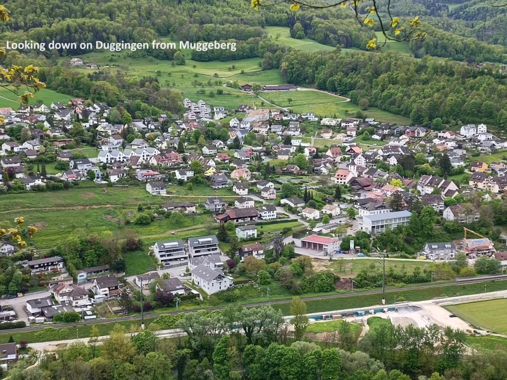
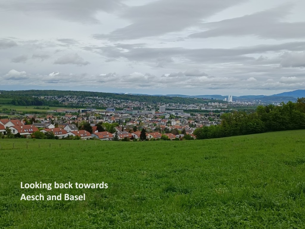
After Aesch, the trail ascends to the Muggeberg, allowing a view back towards Basel, with the rich towers prominent on the horizon. Ascending to the Muggeberg is gradual from the northern side, though there are steep cliffs to the south. The ridge is wooded, but there were occasional views out to Duggingen below.
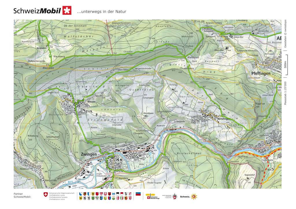
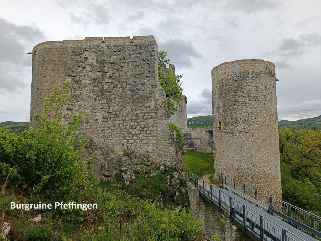
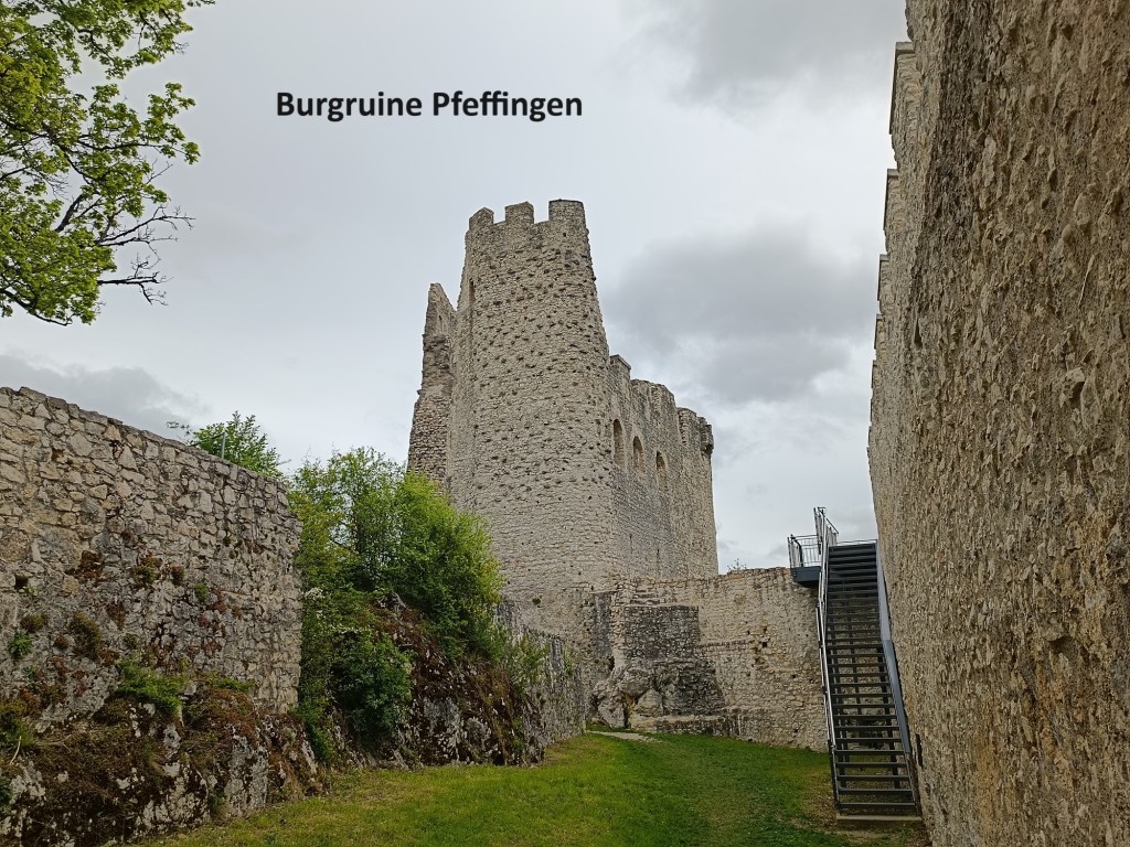
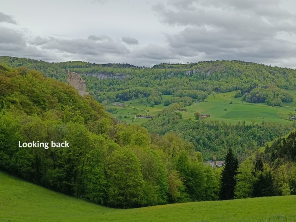
From the Muggeberg, the trail continues on, ascending toward Burgruine Pfeffingen. The origins of the fortress there are unknown, though that seems strange. Even in the dark ages before the first millennium, one would have thought that something like that would be recorded. But the first actual record of the fortress is in the eleventh century, when it belonged to the Cout of Saugern-Pfeffingen. Over the following centuries, it passed through various owners until, in 1522, it became the property of the Bishop of Basel. As the bishopric declined, so did the fortress. From the middle of the eighteenth century onwards, it was effectively abandoned and falling into ruin. The first efforts to secure the ruin were in the 1930s, with the most recent work done in the 21st century.
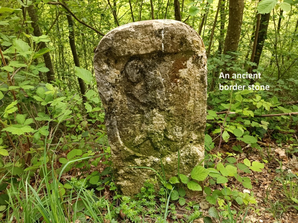
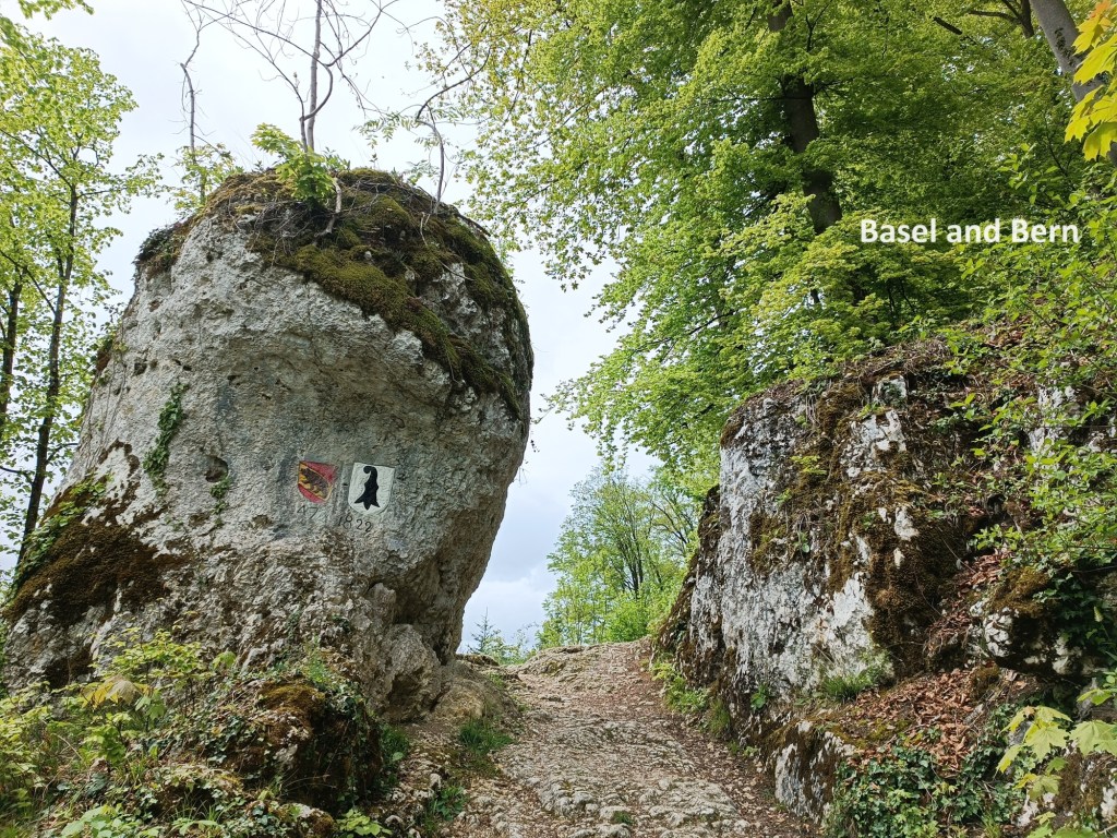
Going on, I passed the old border of Basel-Landschaft, going into the district of Laufen. This used to be part of Bern canton, but with the creation of Jura canton in the 1970s, part of the resolution of the cantonal boundaries was that the district of Laufen passed to Basel-Landschaft. But the markers still remain. I passed an old cantonal border stone for Basel, and I went on through a gap in the rocks marked with the arms of both cantons.
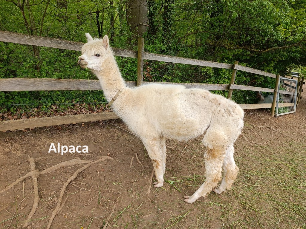
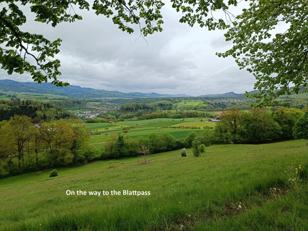
I passed an alpaca farm on the way to the Blattpass. By now, the weather was deteriorating, and by the time I reached the Blattpass, there were dark grey clouds overhead.
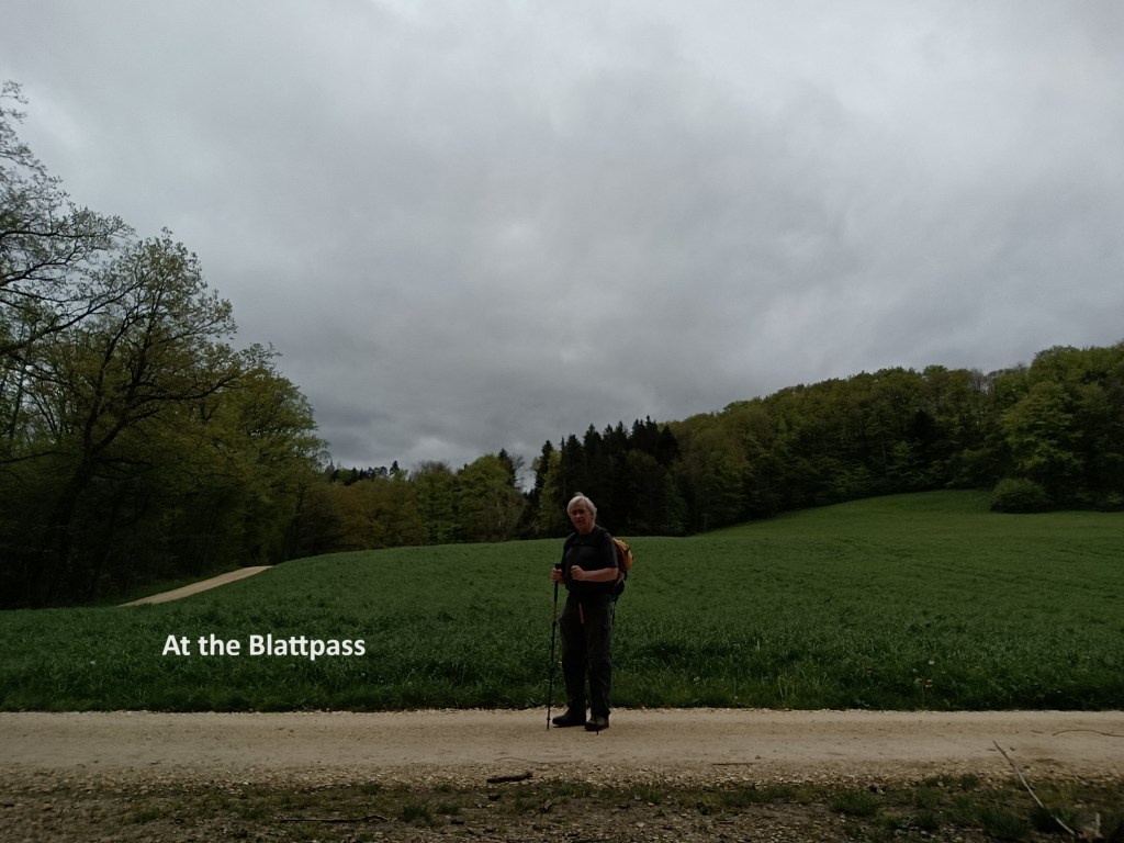
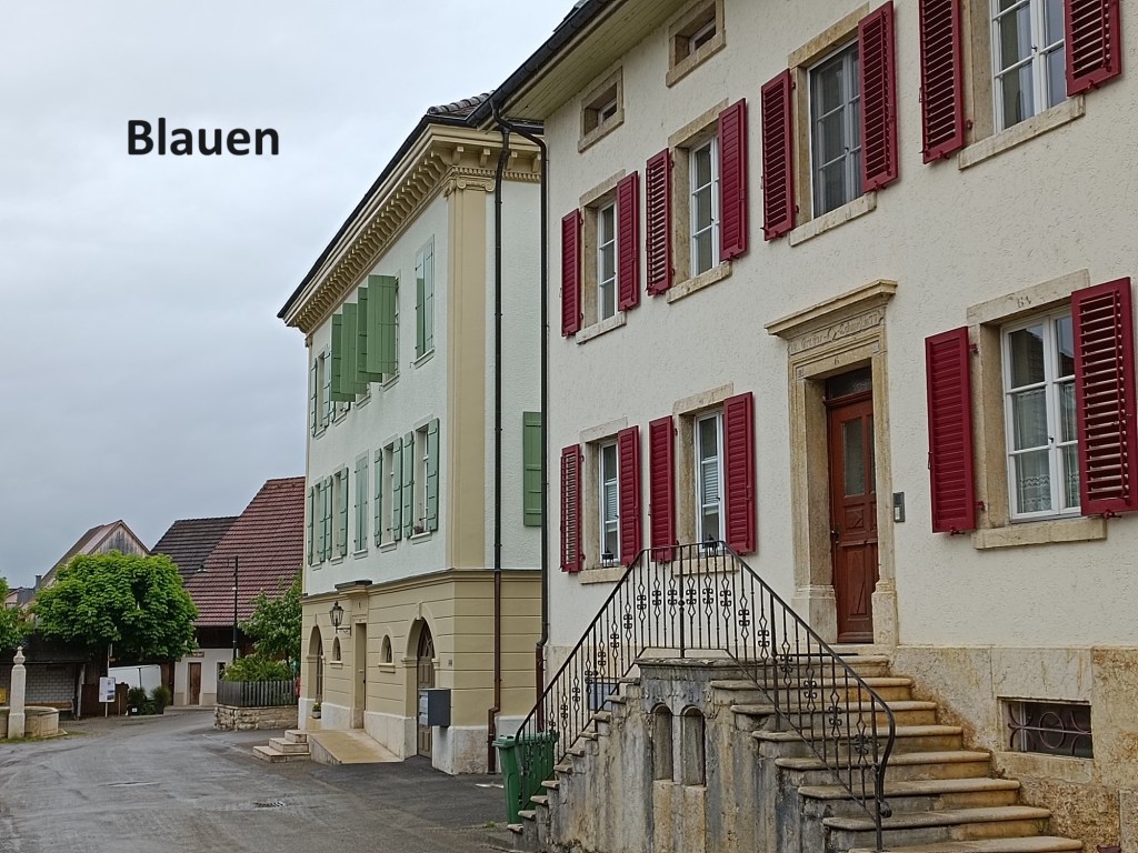
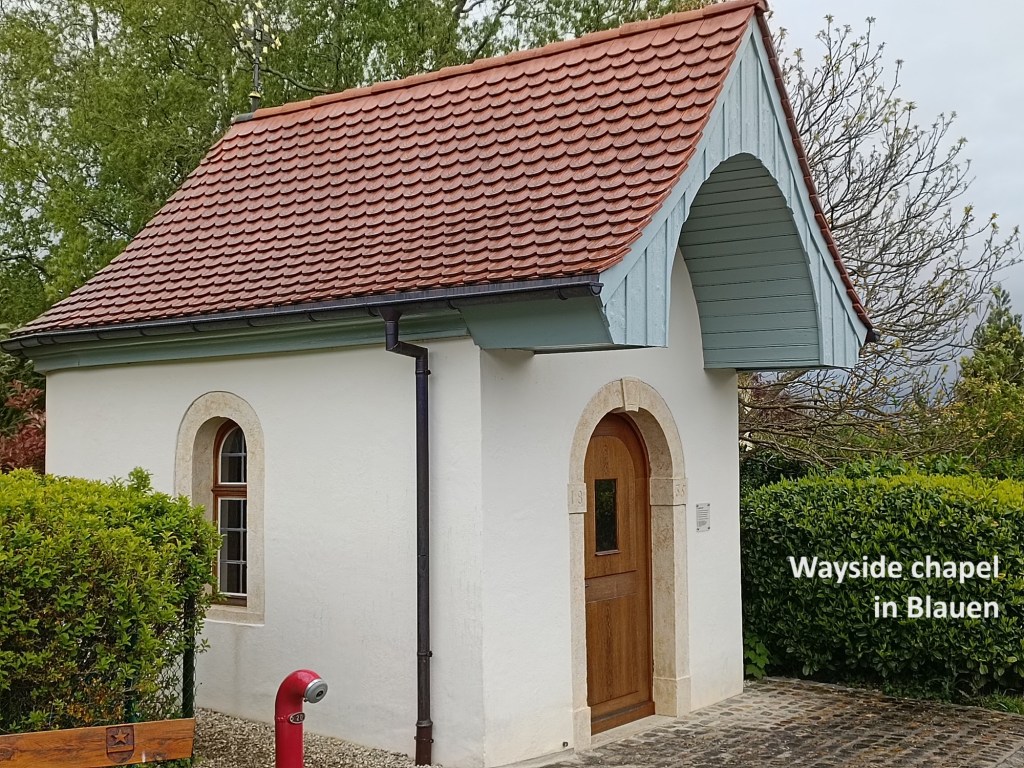
Not long after leaving the Blattpass, the rain started. By the time I reached Blauen, there was a steady drizzle. I passed a small chapel on the edge of the village. The St. Josefskapelle was first built in 1796 and renovated in 1839. The most recent renovation was in 1991 to give the building that is there today: a chapel of just 5.25m by 3.25m.
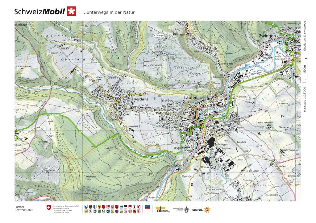
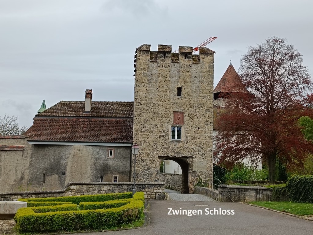
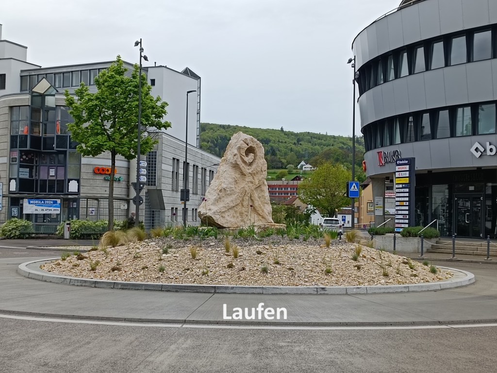
By the time I reached Zwingen, the rain had stopped, though the clouds remained overhead. I passed quickly through the town. I was back in the valley of the Birs, crossing the river, passing the local schloss, and passing the railway station. After that, the trail follows the railway. The trail goes over a short rise to come back down close to the Birs. And then I was in Laufen, my journey’s end for the day.

And my total step count for the day was 49,063.