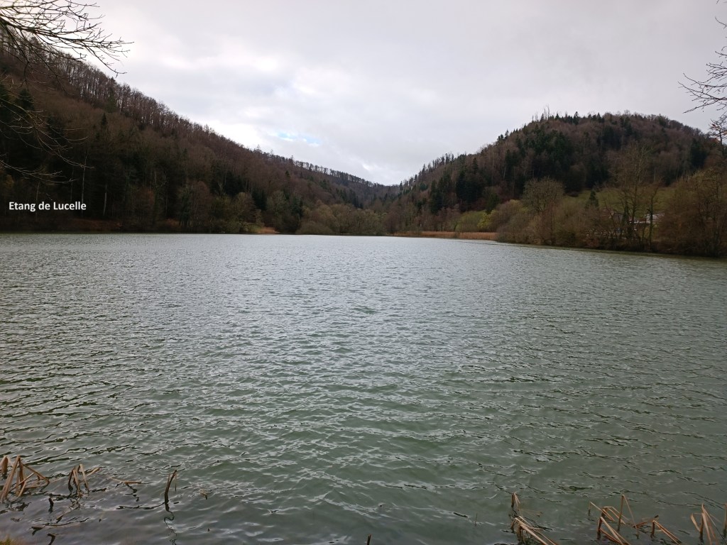
I started my next stage of the Chemin de Jura several weeks later. Life and work had intervened to keep me away from hiking for those weeks. That meant that when I at last had the time to go hiking, I was going to take that opportunity regardless of the weather. And the weather was not very kind to me. On a morning of drizzling rain, I went back to Lucelle to walk the next stage. In spite of the weather, or maybe because of it, the Etang de Lucelle was looking much better than on the previous outing.
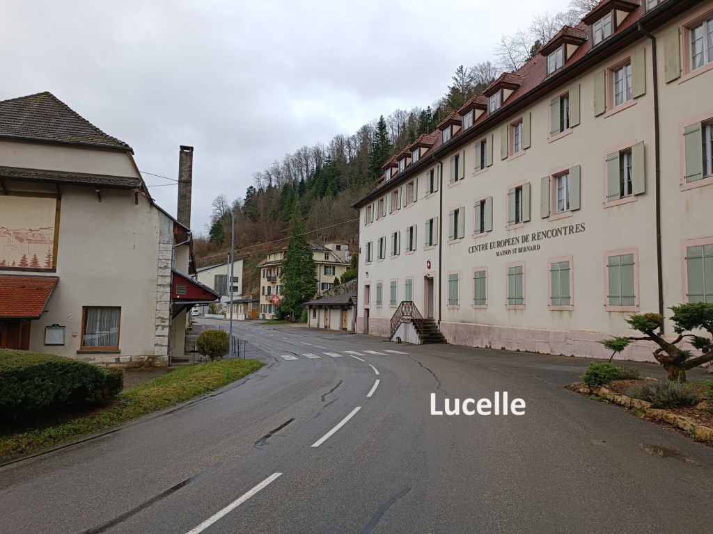
Lucelle is a tiny village, but not so tiny that it could not be divided. The southern part of Lucelle is in Switzerland, while the northern part is in France. The southern part was part of the territory that was granted to Bern canton after the Napoleonic Wars, but which is now Jura canton. The northern part has been part of France since 1648, when that country gained territory under the treaties of Münster and Osnabrück, and incorporated the territory of Burgundy. The village was for centuries the site of a Cistercian monastery, though the monastery had a troubled history. It was founded in 1123, and by the early fourteenth century had over two hundred monks. It was destroyed by an earthquake, but rebuilt in 1346. In 1375, it was destroyed by English and French Mercenaries during the Hundred Years War. The monastery was destroyed again in 1499 by the Swiss. It was pillaged again during the Thirty Years War in 1638. Nevertheless, it recovered from each of these, and after the area became French in 1648, the monastery prospered, at least until 1789. French revolutionaries dissolved the monastery in 1792, but kept the buildings as factories. Those factories were forced to close during the nineteenth century. The buildings were demolished except for two buildings beside the road which are owned by the Centre Europeen de Rencontres Lucelle.
Leaving the monastery behind me, the trail brought me uphill, and taking me about a hundred meters into France in the process. Once back into Switzerland, I followed the trail on to higher ground. It then turned northwards to bring me back right on the border between the two countries.
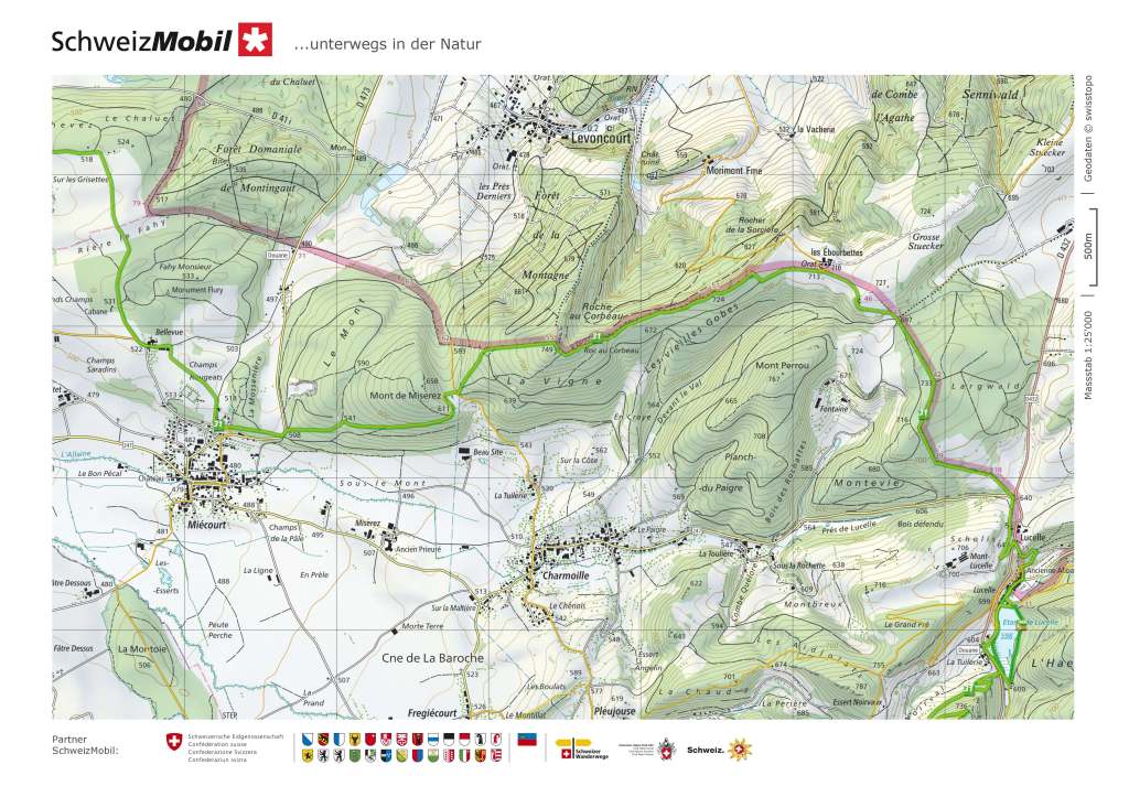
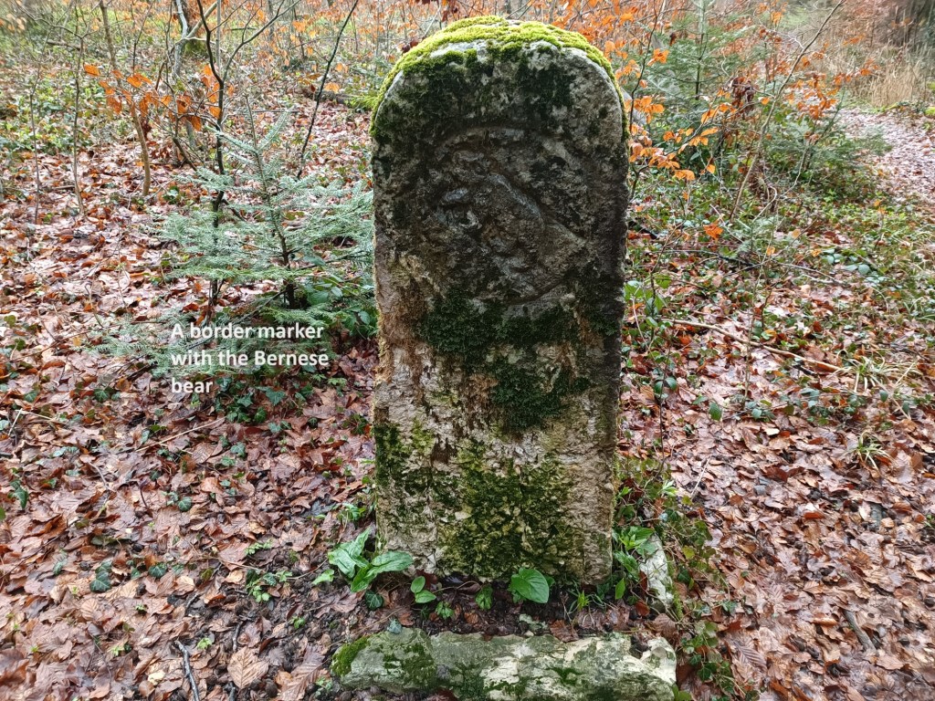
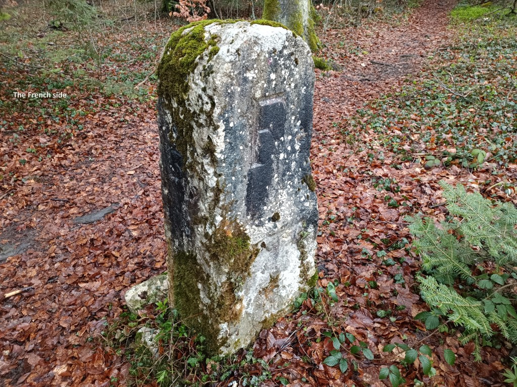
For the next several kilometres, the trail follows the border. I expected, based on my previous experience of the Swiss and their borders, that I would see some stone border markers. I was not disappointed. The first marker that I came to had the Bernese bear symbol on the Swiss side, and a simple letter F on the other. It was moss covered, and somewhat eroded, and I could find no date inscribed into the stone.
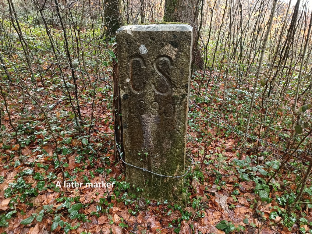
The next marker that I came to was different. On the Swiss side, there were the letters CS, indicating Confederation Suisse. And it was dated 1890. Between these markers is part of the history of Switzerland. Switzerland only became a country in 1848. Before that, the cantons were effectively independent states, bound together in a loose confederation. Bern had been granted all the territory in this part of Switzerland under the Congress of Vienna at the end of the Napoleonic Wars. That is why the older markers would have the symbol of Bern, but the later ones would indicate that they are from the integrated country of Switzerland.
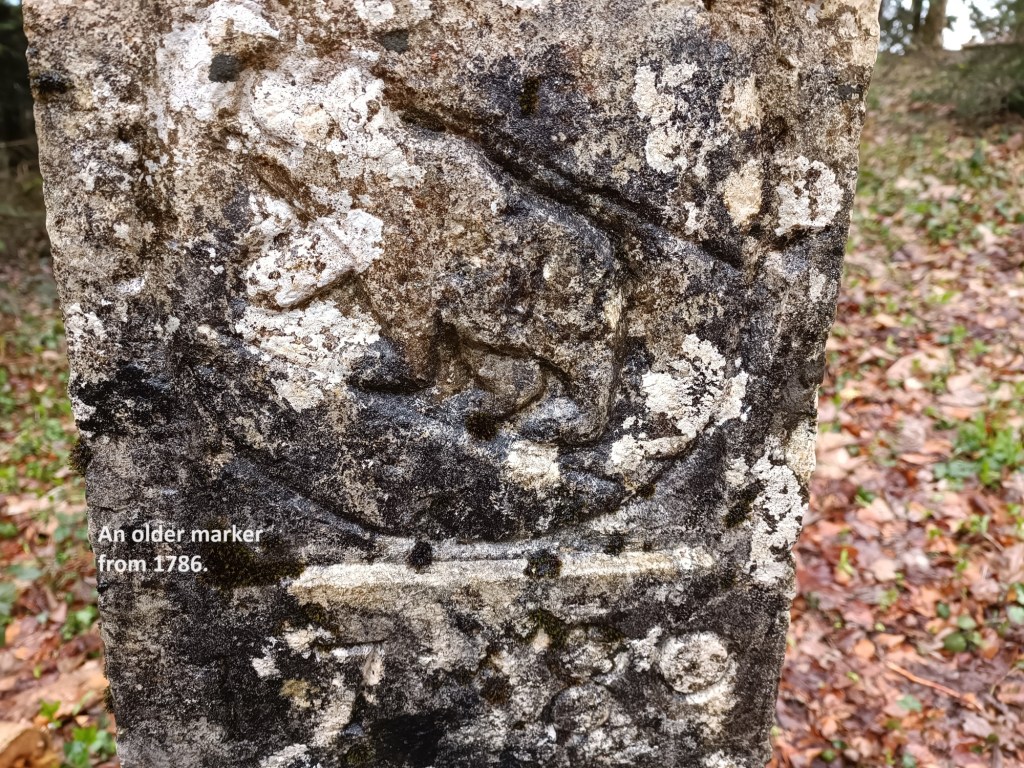
However, nothing is every simple, and I came across other markers showing the Swiss cross as their indicator of nationality. I also came across one with the Bernese bear which did have a date: 1786. It is hard to understand this one, because the area was under the Fürstbistum Basel, the Prince-Bishop of Basel, even though he had long since lost control of Basel itself. Whether there was Bernese influence on the area even then is something to check out.
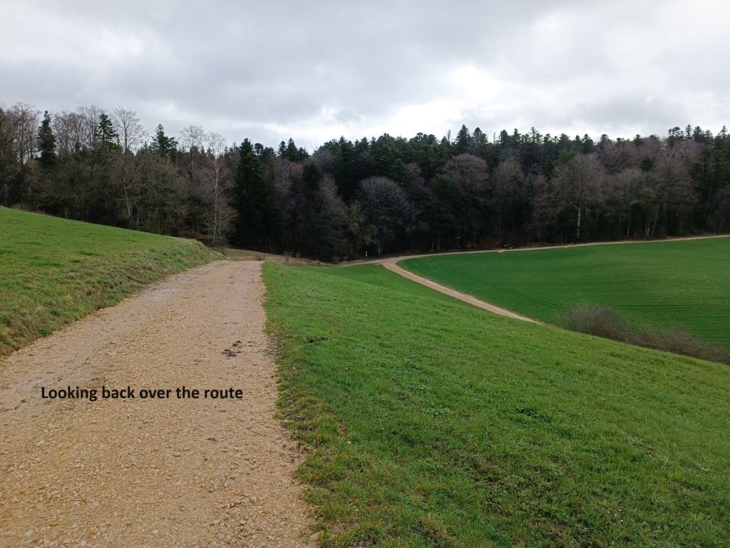
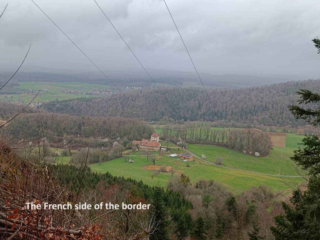

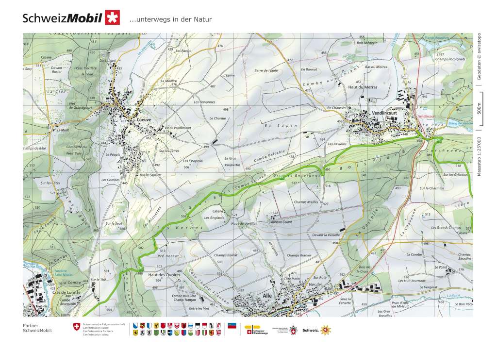
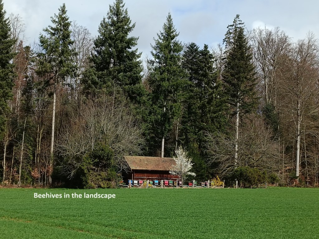
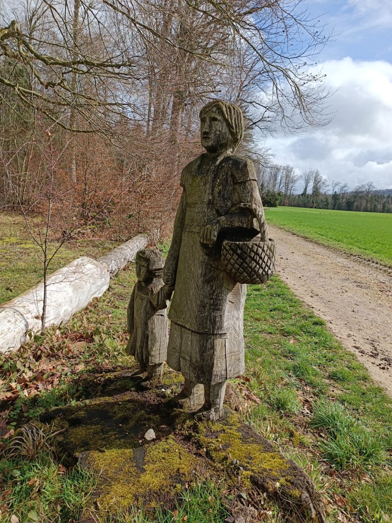
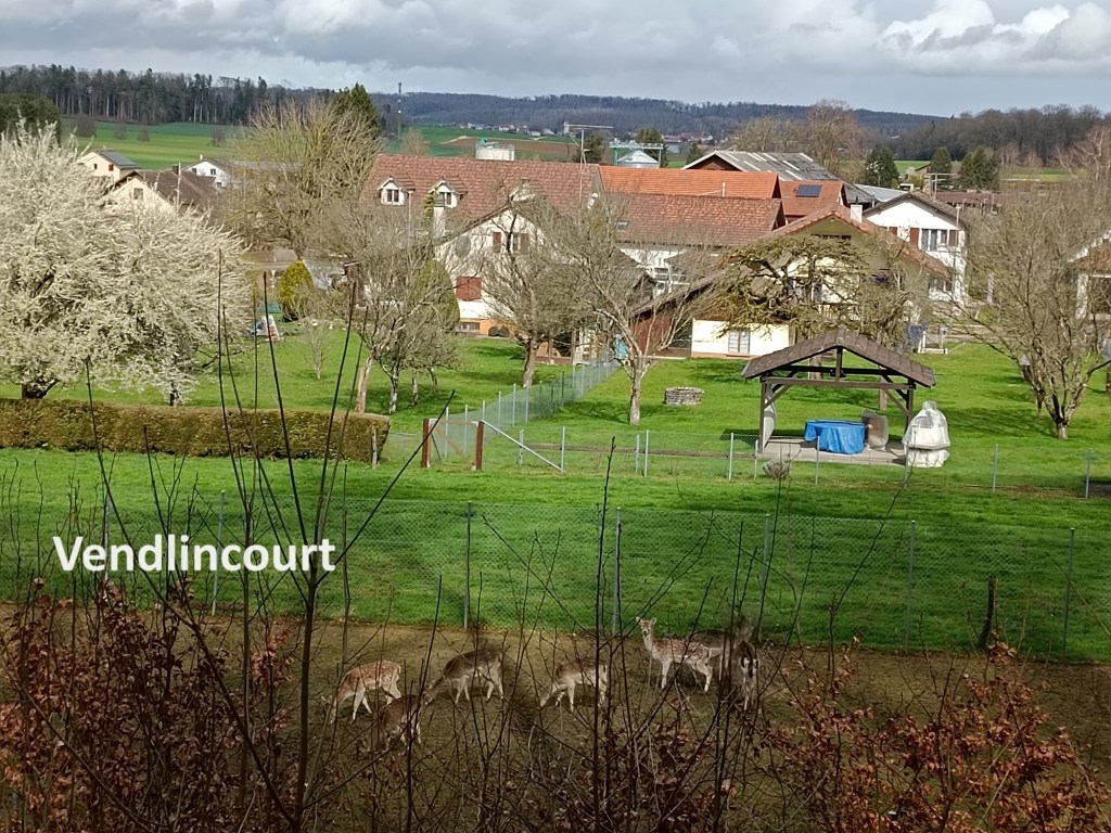
The trail continued in the say for quite some distance, following, or staying close to the border between Switzerland and France. In places, the trail follows a ridge, with escarpments on the French side, giving vies of the countryside there. But eventually, the trail turned left and went “inland” through the forest to reach the village of Miécourt. The trail does not actually go into the village but skirts the northern edge. It gives glimpses of the village itself, and then turns away again. It was only a few kilometres from Miécourt to the next village of Vendlincourt, though it seemed much longer. The route seemed to go through the fields for ages. I passed a colony of beehives. I passed a wooden carving of a woman and child. And then I came to Vendlincourt. Once again, the route does not go all the way into the village. It just comes to the eastern edge of the village, beside a small deer enclosure, and then goes off along the southern edge of the village to get back out into the countryside.
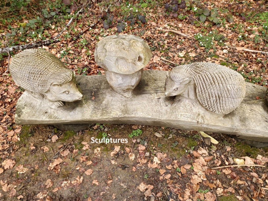
A few kilometres out of Vendlincourt, just after Les Vernes, the route goes through a wooded area that seems like a sculpture park. Numerous wooden sculptures are to be found along the trail. They provide some amusement and divert attention from the sameness of the trail as it makes its way through otherwise bland countryside.


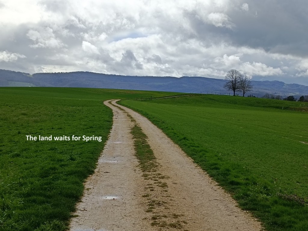
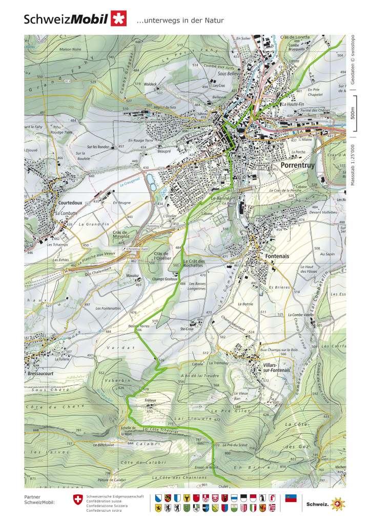
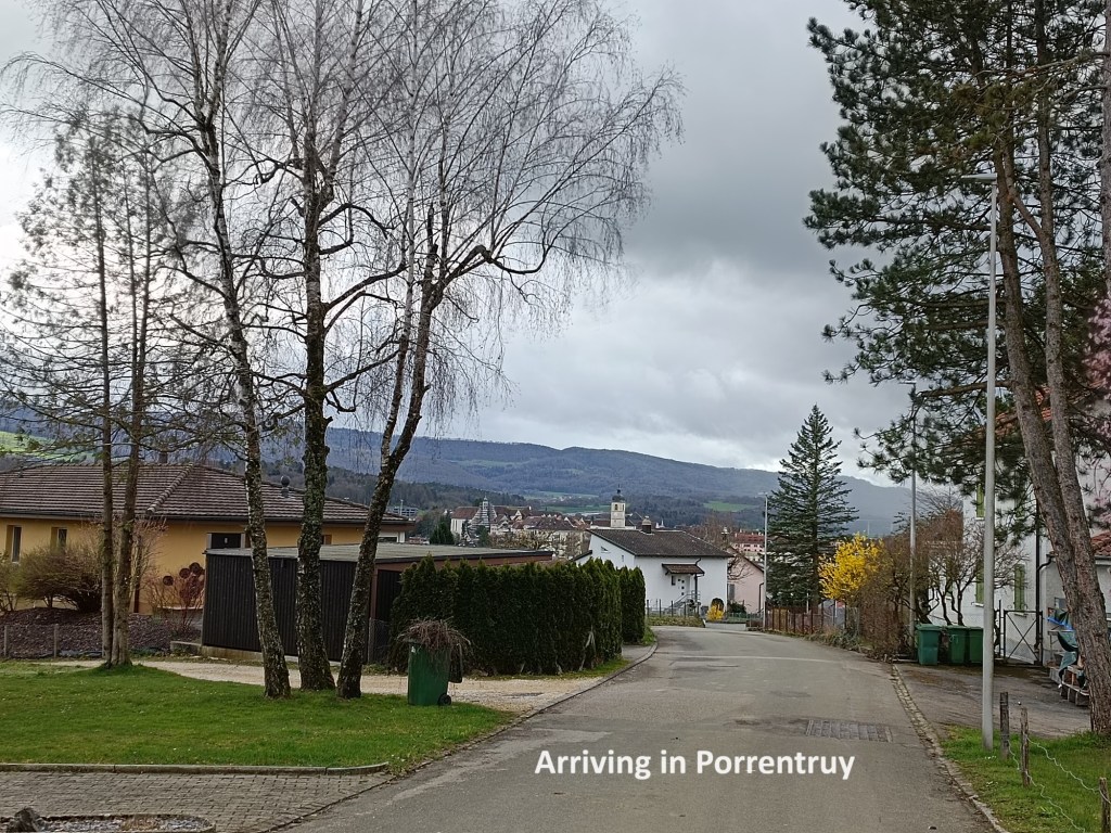
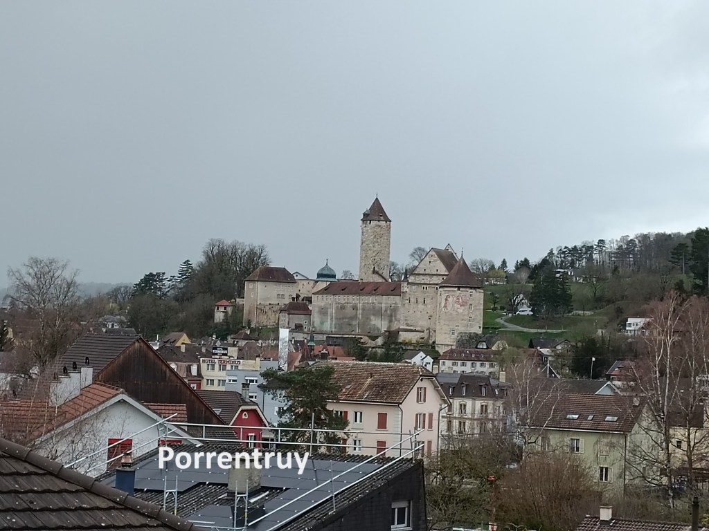
On that particular day, it was a countryside waiting for Spring. The grass was dark and not yet in full growth, and the trees were not yet in leaf. I continued on over the hill 505, and then Porrentruy came into view. The outskirts of the town extend to the north and to the east, while the trail goes in between them. The result is that I came almost suddenly into the very centre of the town. I wasted no time, but simply went to the station and the train back to Basel.
My step count for the day was 38,087.