I arrived back in Münsingen early on a bright sunny morning, quite different from my last previous day on the trail. Münsingen is listed as being at 525m above sea level, and the next town on the route, Toffen, is listed at 527m. That means that they are practically on the same level, but in between lies the bulk of the Belpberg. As I headed out of Münsingen, it loomed large in front of me. Undaunted, I made my way through the quiet streets and along the InneriGiesse towards the western edge of town.


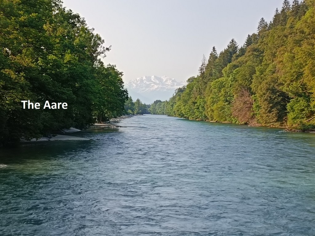
I went on down to the bridge over the Aare. The Aare is the longest river that is entirely within Switzerland. It comes from the glaciers of the Aarhorn to the south and empties into the Rhein to the north. It collects its own tributaries along the way, becoming quite a substantial river in the process. Here at Münsingen, it is a fast-flowing, though not very large stream.
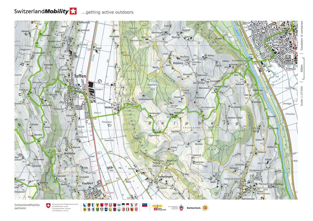
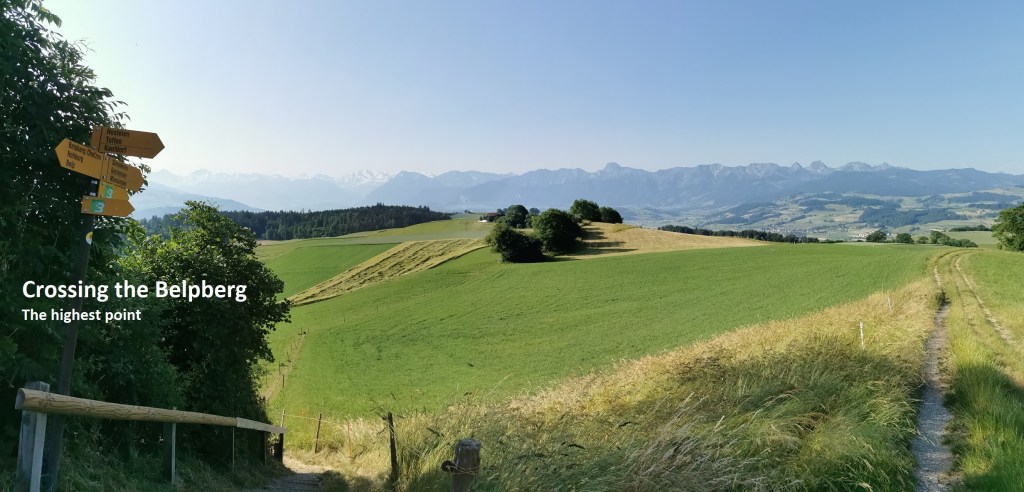
As soon as I crossed over the Aare, the ascent on the Belpberg began. It was steep at first, steep enough that the people who set the trails and maintain them had made steps for the walkers. It went on up and up through the forest, until eventually I came back into the sunshine just before Hindere Chlapf. At 754m, this is not the highest point, but the ascent is more gentle from there. The route goes on upwards to reach the highest point on this section of the walk at about 870m. As the photo shows, the trail comes up from one side, and makes a sharp turn to start the descent towards Toffen.


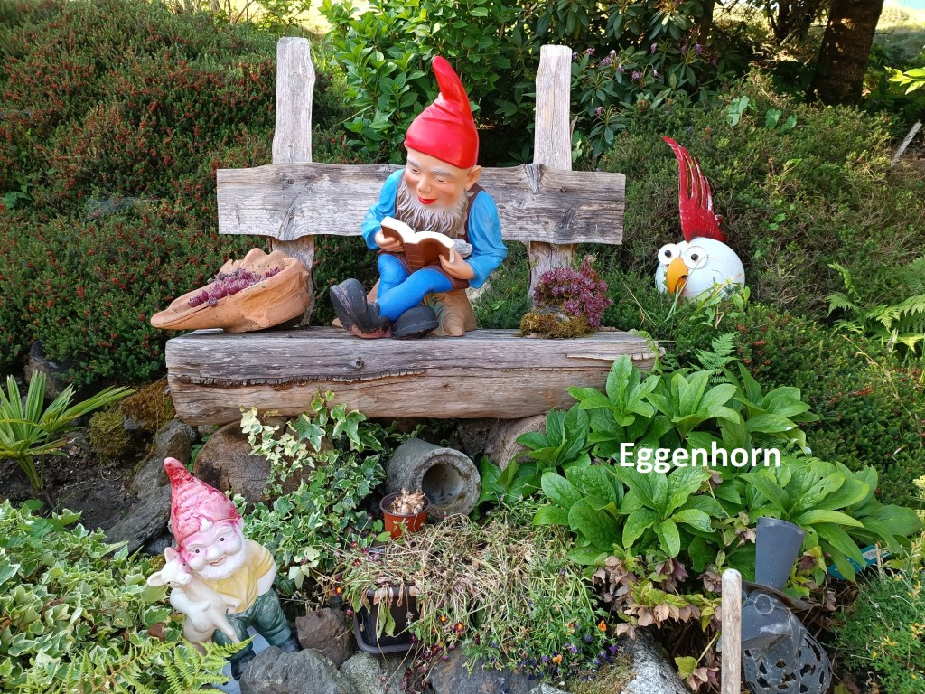
The sign at that highest point says the next place is Hofstetten, but it is named on the map as Hofstetten. Having gone through Grosshofstetten on the last section, it seemed apt that I should go through its smaller namesake. After Hofstetten, there was two more farming settlements, at Eggenhorn and Breitenacker, and then the route got steeper for the final section of the descent into Toffen.
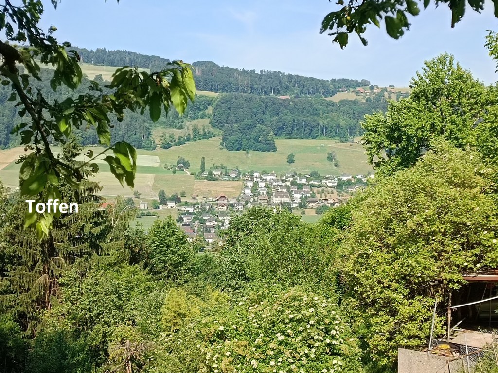
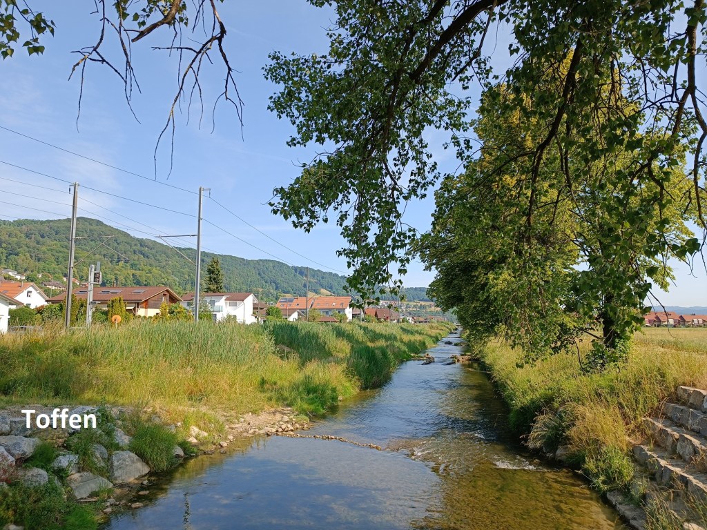
Toffen seemed to be only just waking up on a sleepy Sunday morning when I was going through, so I didn’t stop, but just kept on going. Human settlement in the area goes back to bronze age times, but it was the Romans who first made an organised community there. The land was swampy for centuries, but thanks to the Swiss prioritisation of water management, the small river Gürbe was adjusted, and the surrounding land drained between 1901 and 1911. Today, the Gürbe is a small stream.
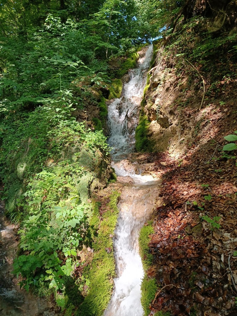
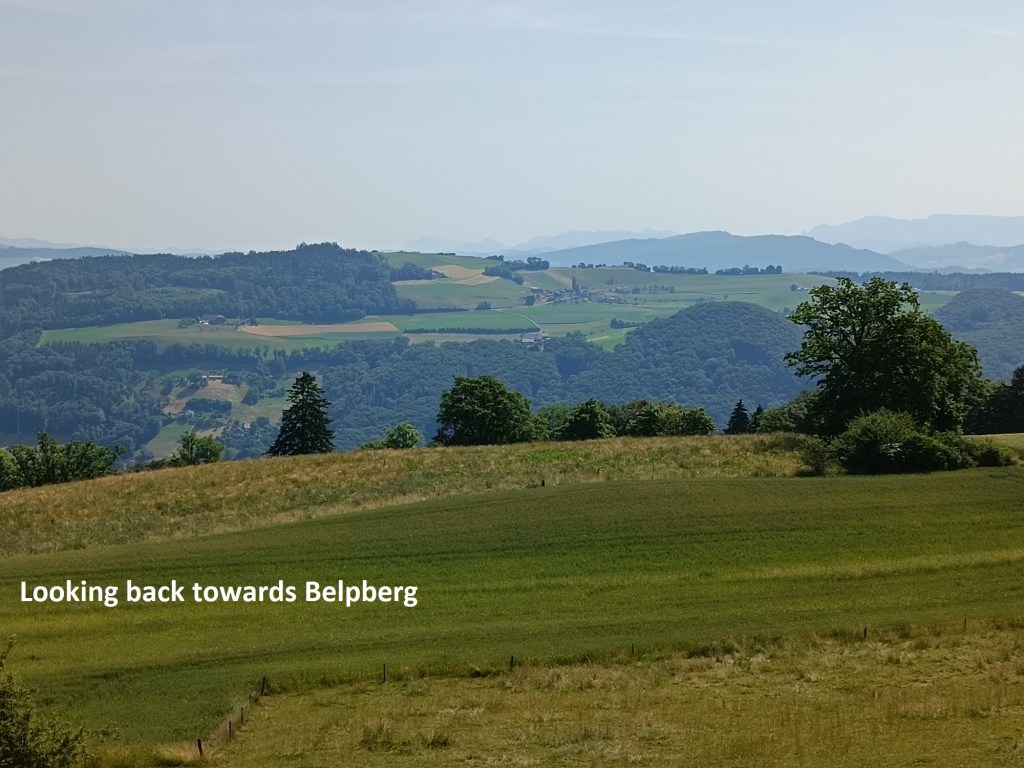
As I left the town, once again, the trail goes steeply upwards from the town. And I was soon back into forest again. Despite the recent dry weather, the streams were still flowing, and I came across a small waterfall in the middle of the forest. On the unforested stretches, I had good views back towards the Belpberg that I had just come over.
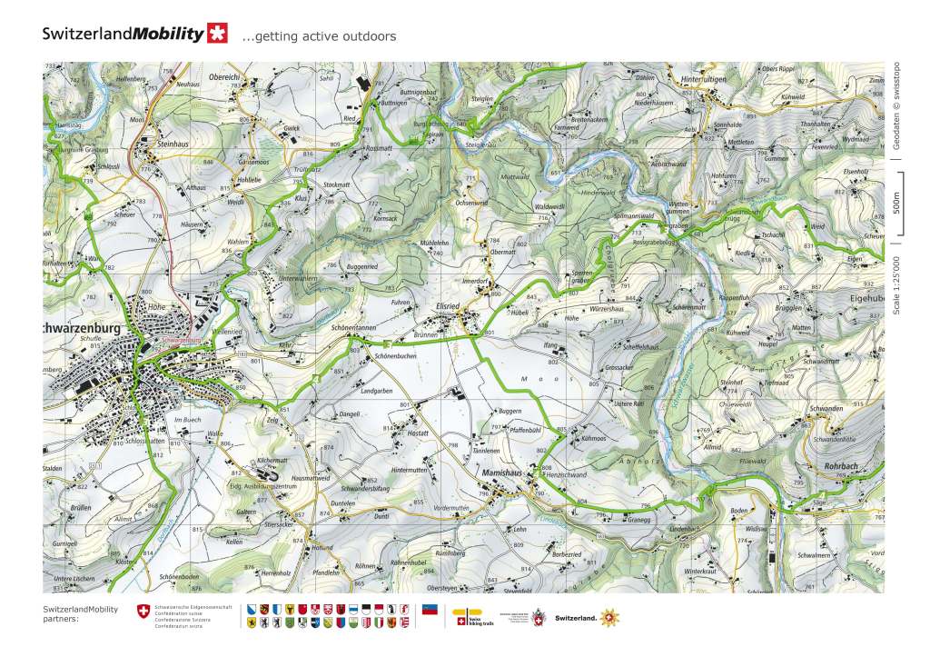
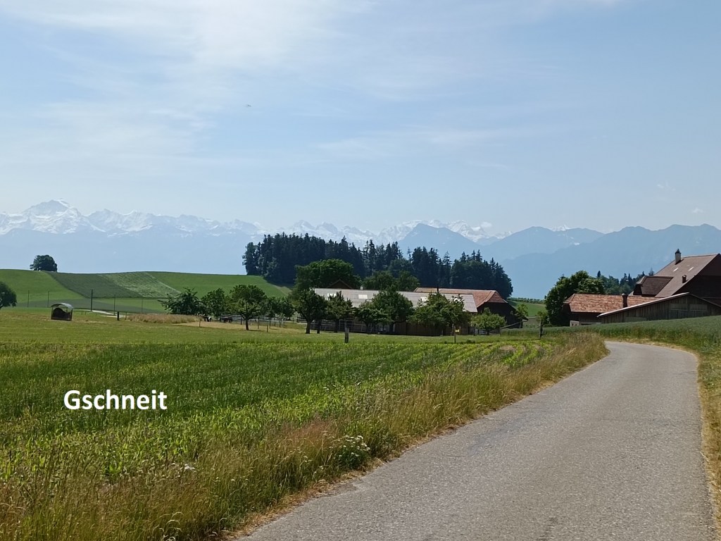
Further on, my route joins up with the Jakobsweg. This is not the main Swiss Jakobsweg, but a spur that goes from Luzern. I walked that route once before, back before I started writing in these pages. That is so far back that I had little memory of it. After the two trails join, the combined route goes southwards, giving good views of the alpine peaks in the distance. I came to the little hamlet of Gschneit. There is a Gasthof there, and I was glad to find it open. After crossing the Belpberg and ascending this far from Toffen, it was time for a beer!

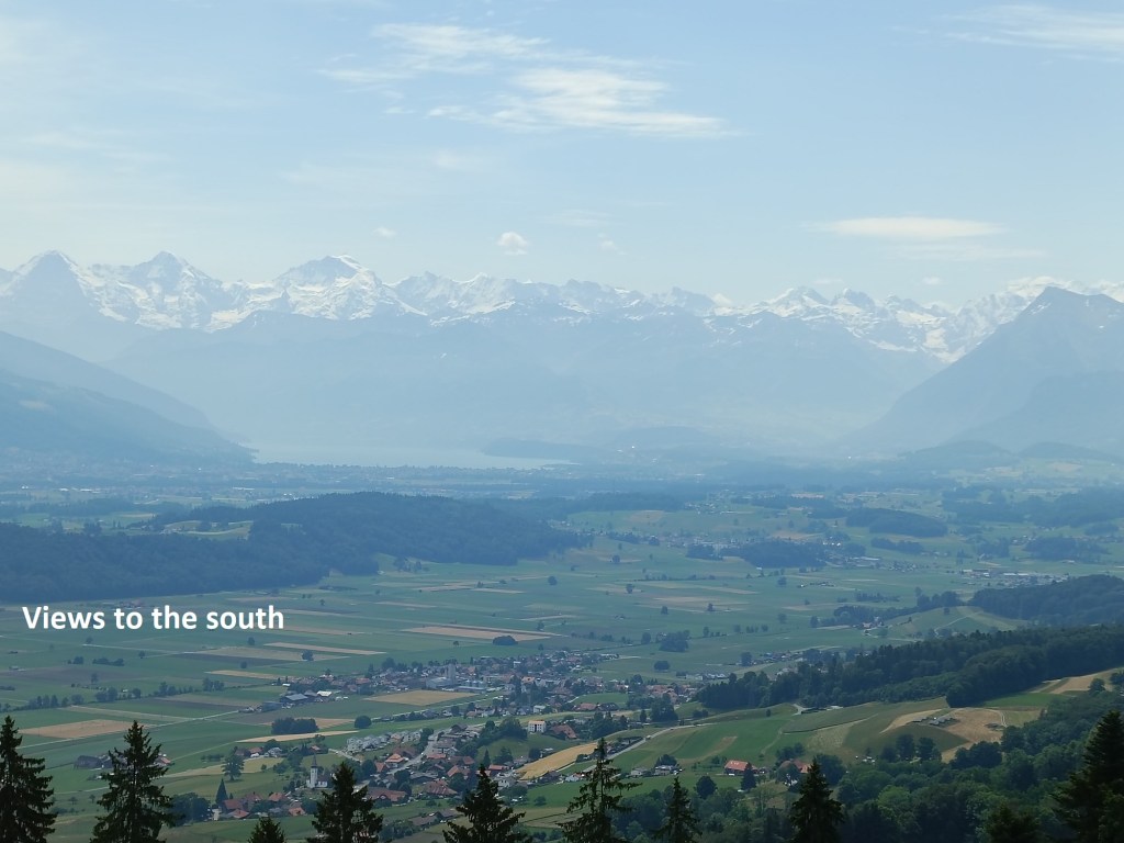
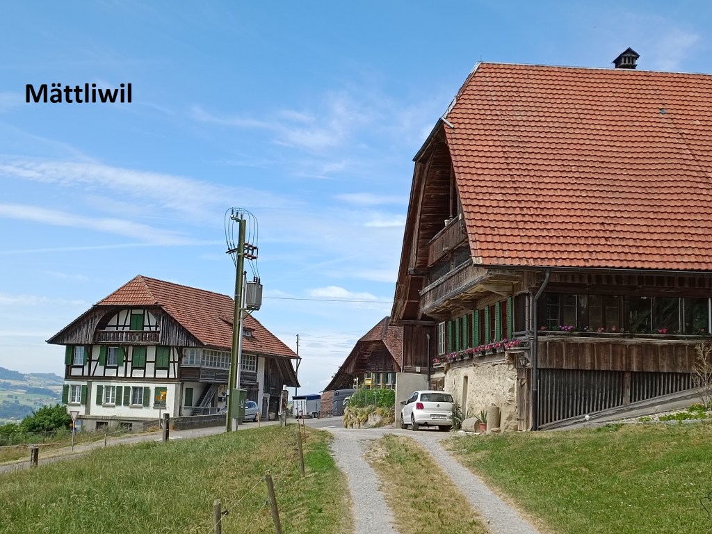
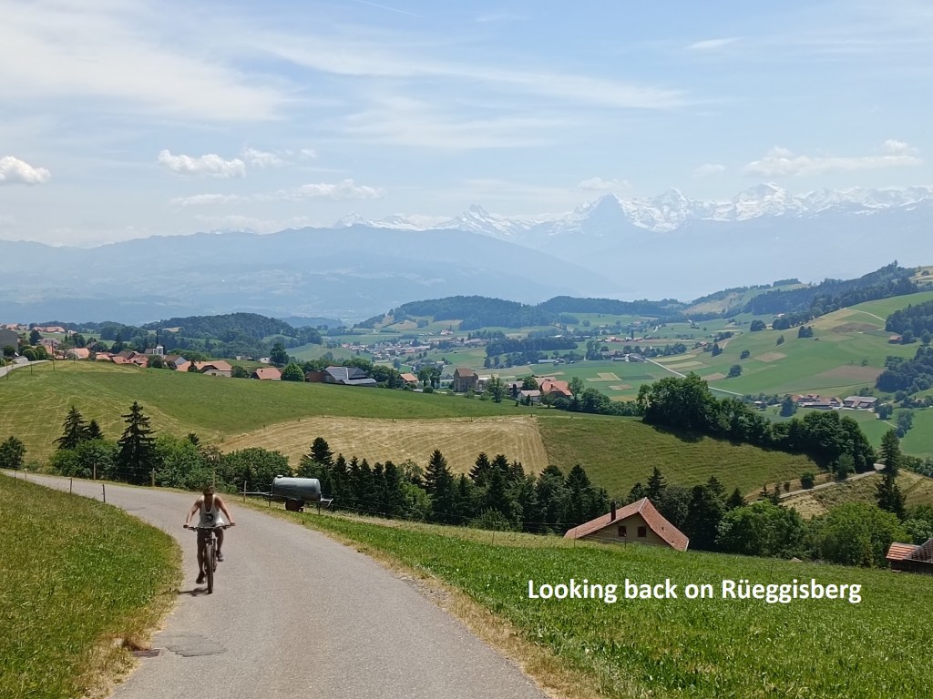
After Gschneit, the trail crosses through some fields and then goes back into the forest to ascend gradually to 978m. That highest point is just at the point where the trail emerges from the forest again. The descent is through fields again to reach the village of Mättliwil. There were great views to the south as I descended. Is that the Thunersee in the photograph? I couldn’t be sure, but I think it is. And from Mättliwil it is just a short walk to Rüeggisberg.

Rüeggisberg is best known for its ruined priory. The priory was started in the eleventh century but was abandoned after a fire in 1532. Rüeggisberg is also where the Alpine Panorama Weg and the Jakobsweg split again for a while. The Jakobsweg goes downwards passing the ruined priory, but my route was upwards.
I would have liked another beer at that point, as I was feeling the midday heat. There is a Gasthof in the village, but for some strange reason, it does not open as a restaurant or bar on Sundays. There is also a village shop, but that too was closed. But undeterred, I set out on the trail upwards out of Rüeggisberg.
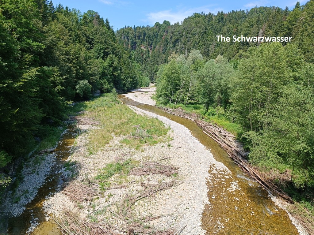
The route reaches a high point of 986m, just short of the magic 1000m figure, and then begins the descent westwards. It is a mixture of forest and farmland all the way. Eventually, I came to the Rossgrabenbrücke over the Schwarzwasser stream. The bridge is a single span hinged arch bridge, built in the 1920s, and for some reason is listed as a site of national heritage importance. Looking from the bridge, the Schwarzwasser was in gently mood as I passed. There were even families picnicking upstream of the bridge. But all those tree trunks show that the river must flood sometimes, carrying a lot of forest debris with it.
After that, the route ascends again, reaching another high point near Mamisried. After that, there was just the final descent into Schwarzenburg.
It was a long day, with quite a bit of ascent involved, but it was worth it, for the great views. However, I do with that more Gasthofs would open on Sundays.
My step count for the day was 49,876.