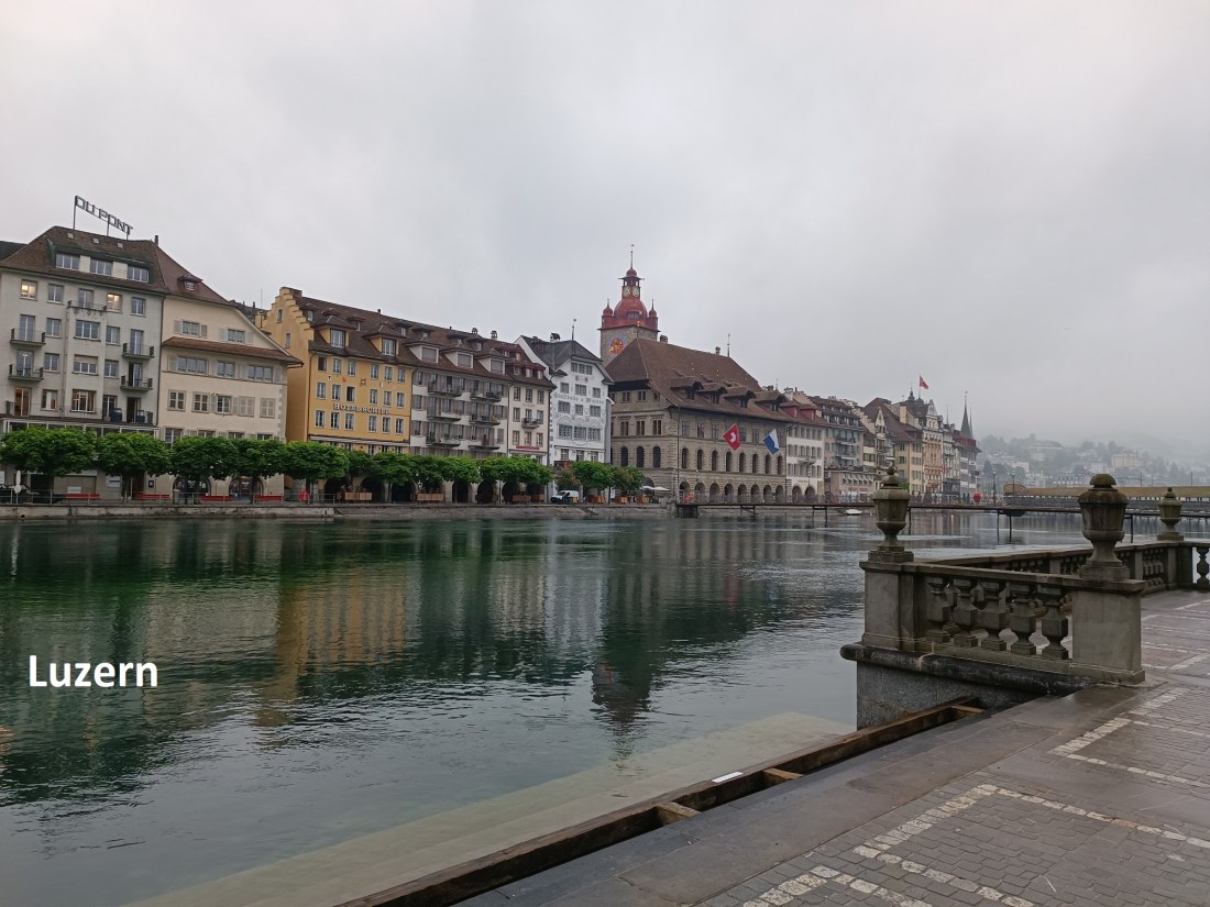
I left Luzern heading westwards. The first few metres of the route were familiar, as I had twice previously left Luzern going west, once when I was walking the Via Jakobi to Geneva, and last year, when I came back from Luzern via Willisau and Langenthal. But this year was a little different. On those occasions, I was following trail number 4, which stays fairly low, but this time, for the Alpine Panorama Weg, I would be going up over the Sonneberg.
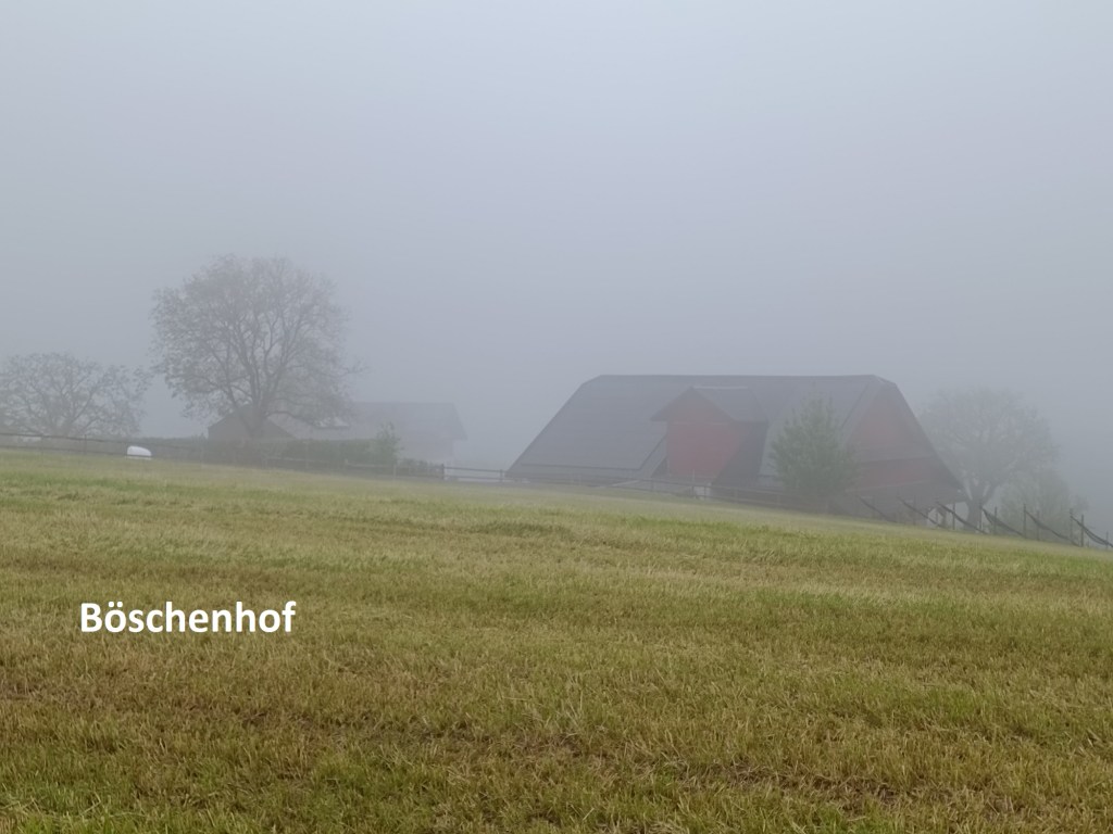
It was a wet morning, but in spite of that, I stuck with the plan, and soon after the two routes split, I was going uphill and out of the city. Looking back, the mist was low over Luzern. I kept on going and was soon in the mist as I came to the farmhouse and crossroads at Böschenhof.

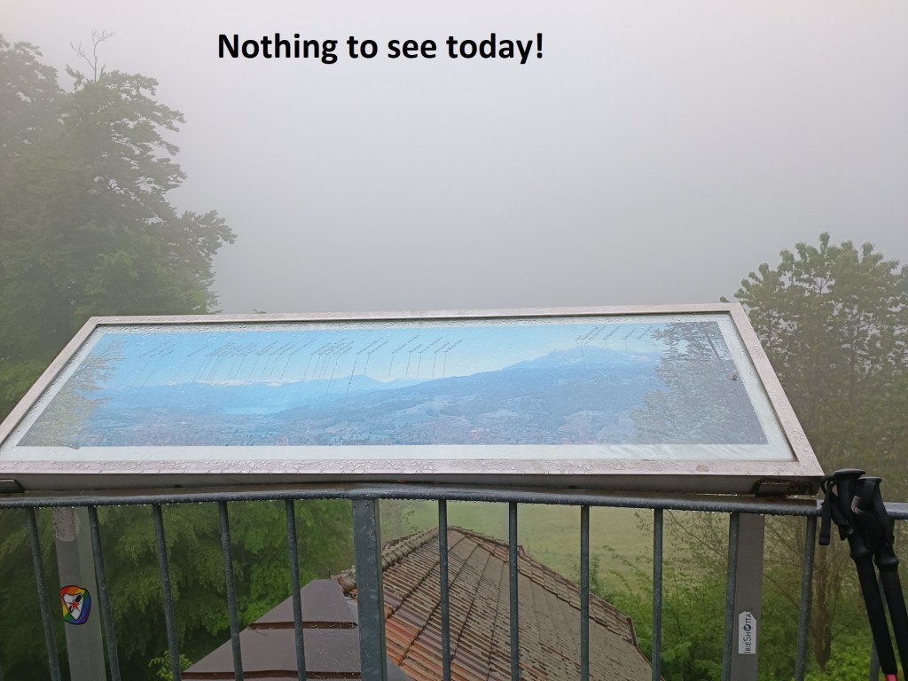
Just before Chrüzhöchi, there is a cable car station, presumably so that the citizens of Luzern can get out on the Sonneberg from time to time and enjoy some fresh air. And on the roof of the cable car station, there is a viewing point from which one should be able to see the mountains to the south. But on this day, there was nothing to be seen, only a mass of grey cloud all around. I continued onwards.
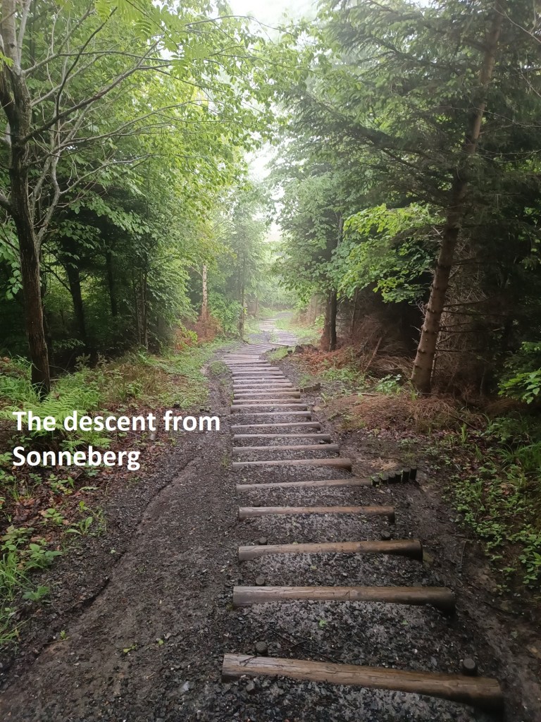
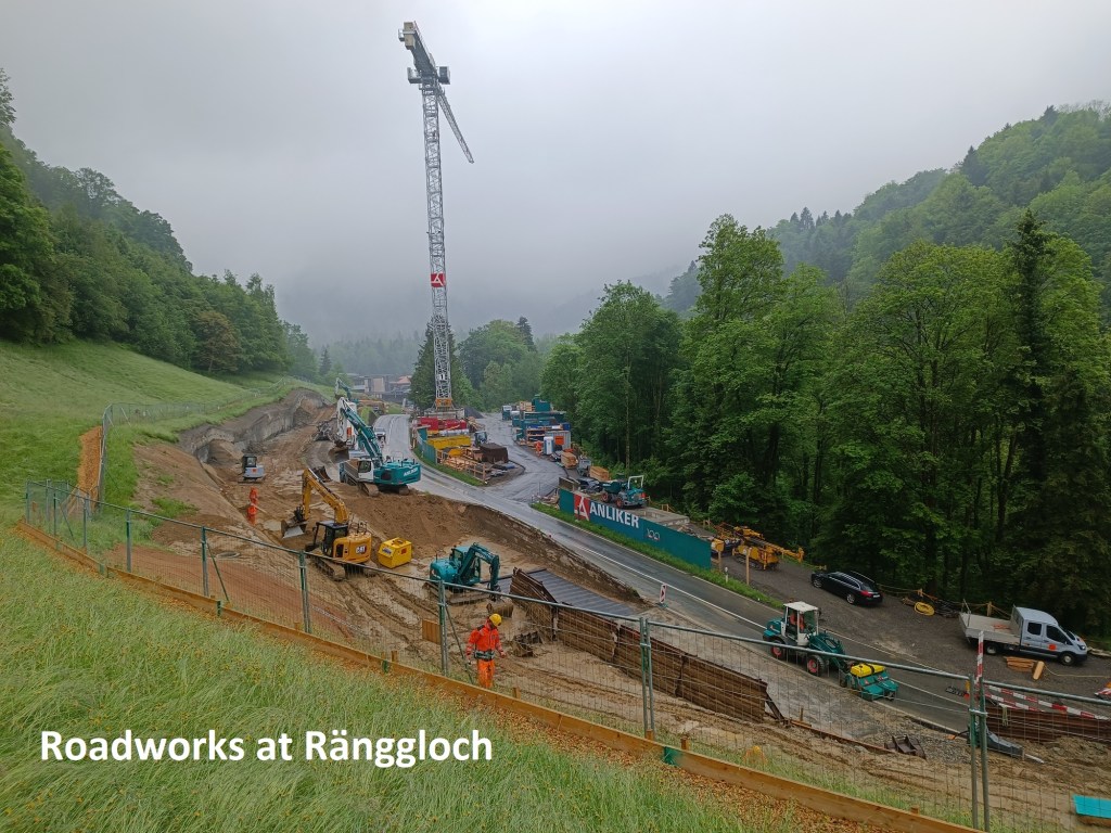
From Chrüzhöchi, the route goes on over the Sonneberg. It is in forest for much of the way before it descends fairly steeply towards the Ränggloch. And just before Ränggloch, I joined up again with route number 4. The map showed the route as blocked at Ränggloch due to roadworks, with a detour to the south to get around. There are some obstacles that I can get around, but this was not one of them, so I took the detour, and crossed over the Ränggbach.
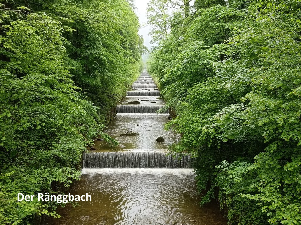
The Ränggbach, also previous and incorrectly known as the Krienbach, has its source near the Pilatus mountain. For centuries, it was known to flood in very bad weather. Between 1530 and 1598, there were fourteen instances of flooding in the city of Luzern caused by the Ränggbach. In 1822, the city commissioned one of the best engineers of the time, Conrad Escher, to put in flood control measures. Looking at it today, it is hard to believe that such a gently stream could do so much damage.
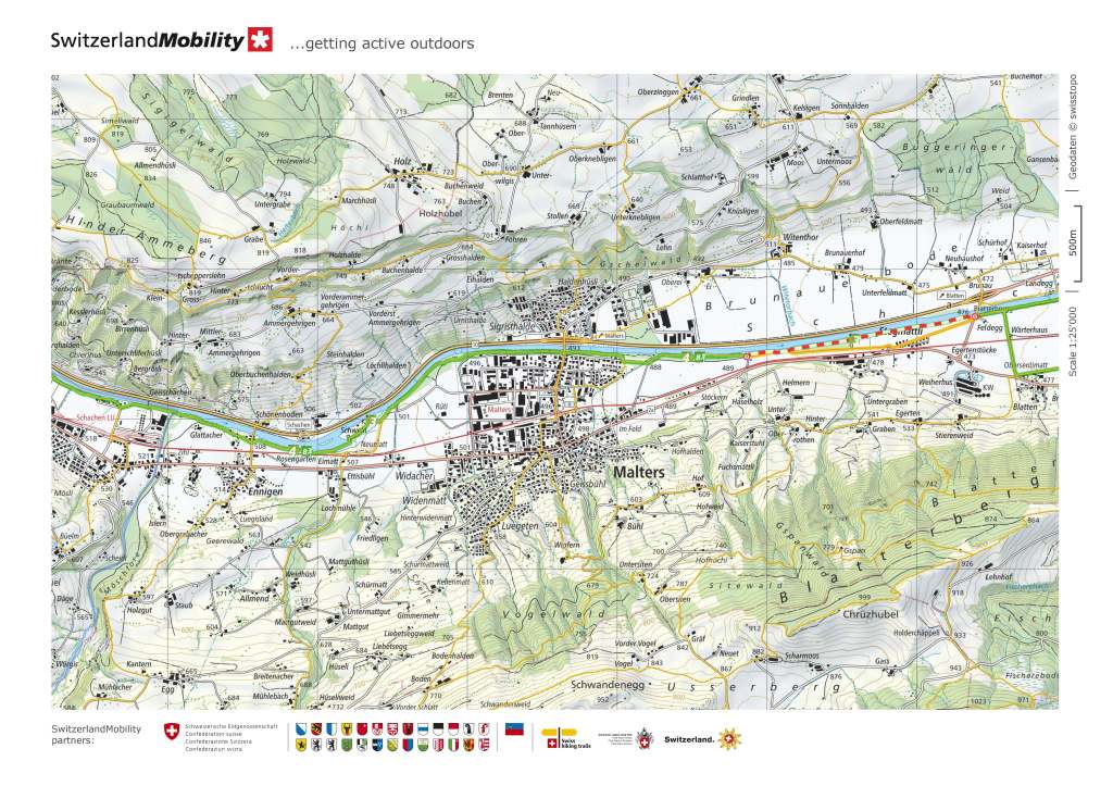
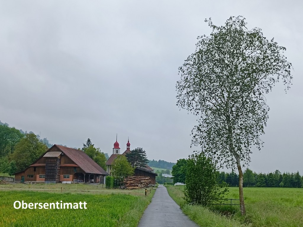
With the detour behind me, I re-joined the official route. It brought me down into the valley of the Kleine Emme. And continuing westwards I soon came to the church at Obersentimatt.
The map showed another blockage along the route where it follows the railway line and the river near Sentimatt, so I continued on the main road into that village. There was a footpath at the side of the road on my way into the village, but not coming out the other side. As a result, I was forced to walk carefully along the road, stepping in to the side at regular intervals as cars passed. But that did not last long, and I soon reached a point where I could cross the railway line and re-join the official trail. And so I continued on into Malters.
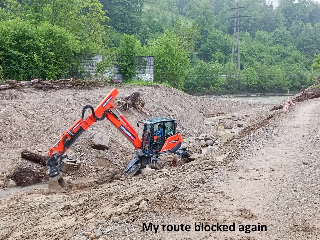
I left Malters still following the Kleine Emme upstream, and it was not long before I found my way blocked again, this time by some construction work that wasn’t indicated on the map. I made a detour, coming back onto the trail a few hundred metres upstream.
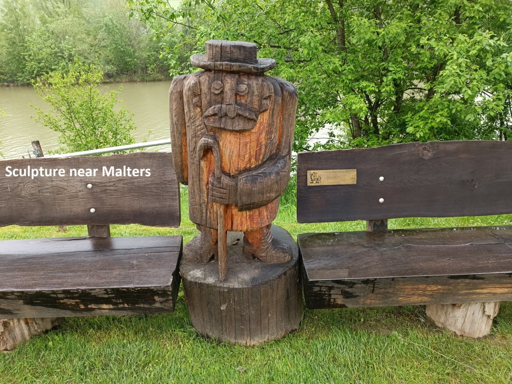
A little further on, I passed the flood control system for the Kleine Emme. A stretch of the river has been widened to hold more water, with potential for a controlled outflow when necessary. The area has been made into a park by the river, which is where I came across this wooden sculpture.
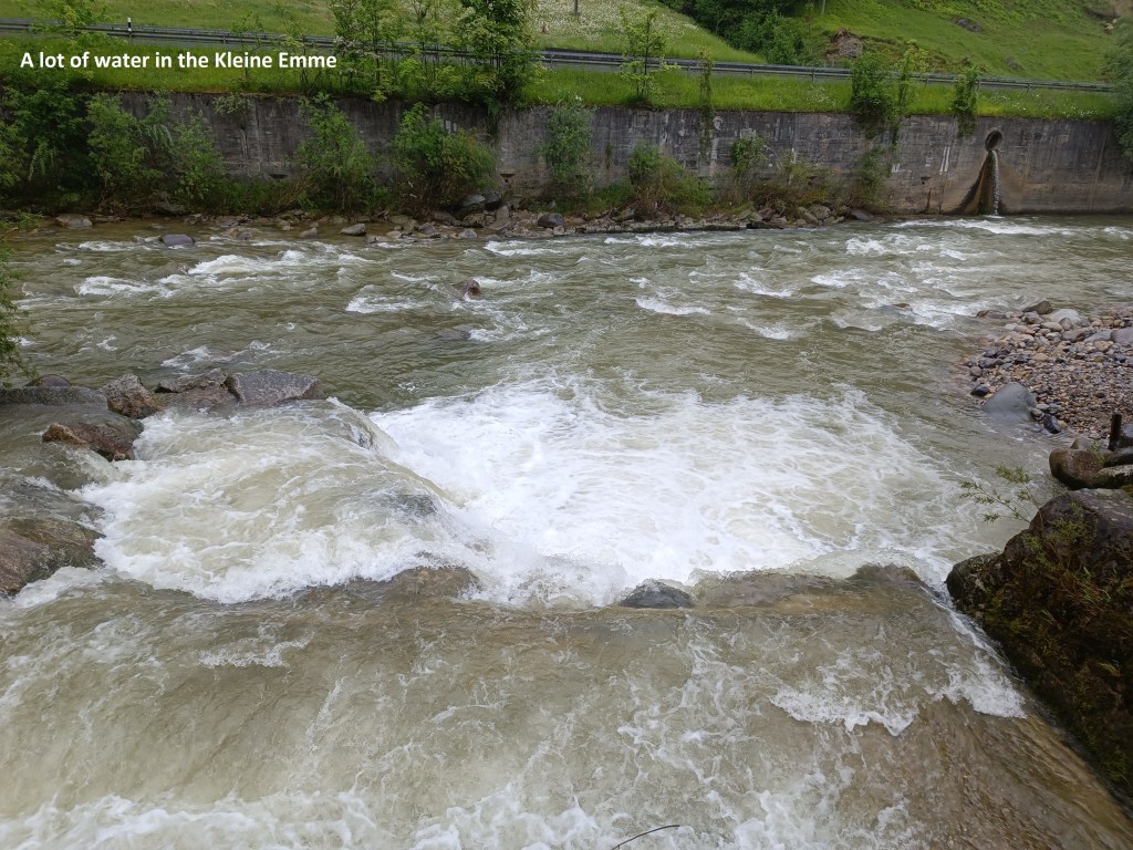
There was a lot of water going down the Kleine Emme that day, and I wondered if the flood defences would be needed soon.
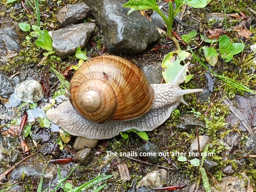
The route left the Kleine Emme and went into some woodland on its way west. One of the tings with this weather is that it brings out the molluscs in the countryside, the slugs and snails. There is one type of snail in Switzerland which is very different from those I am more used to in Ireland. It grows to a considerable size, as can be seen here.
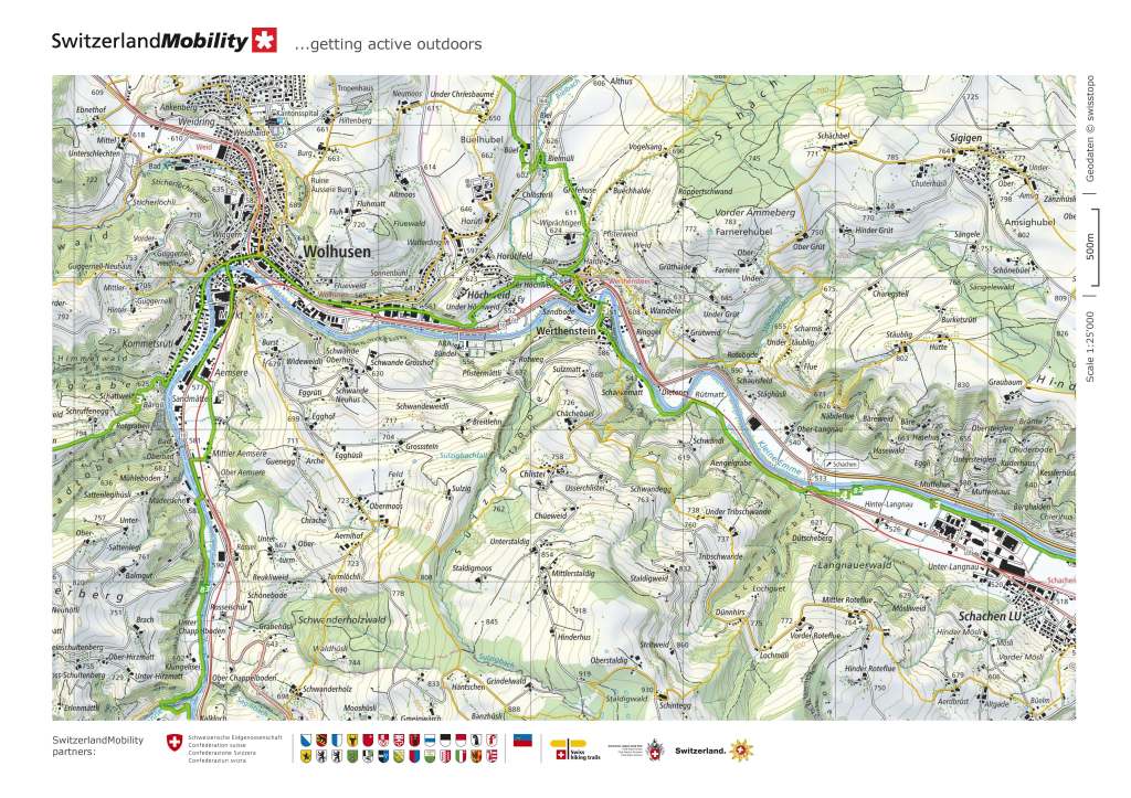
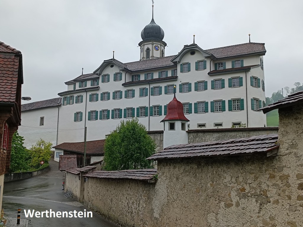
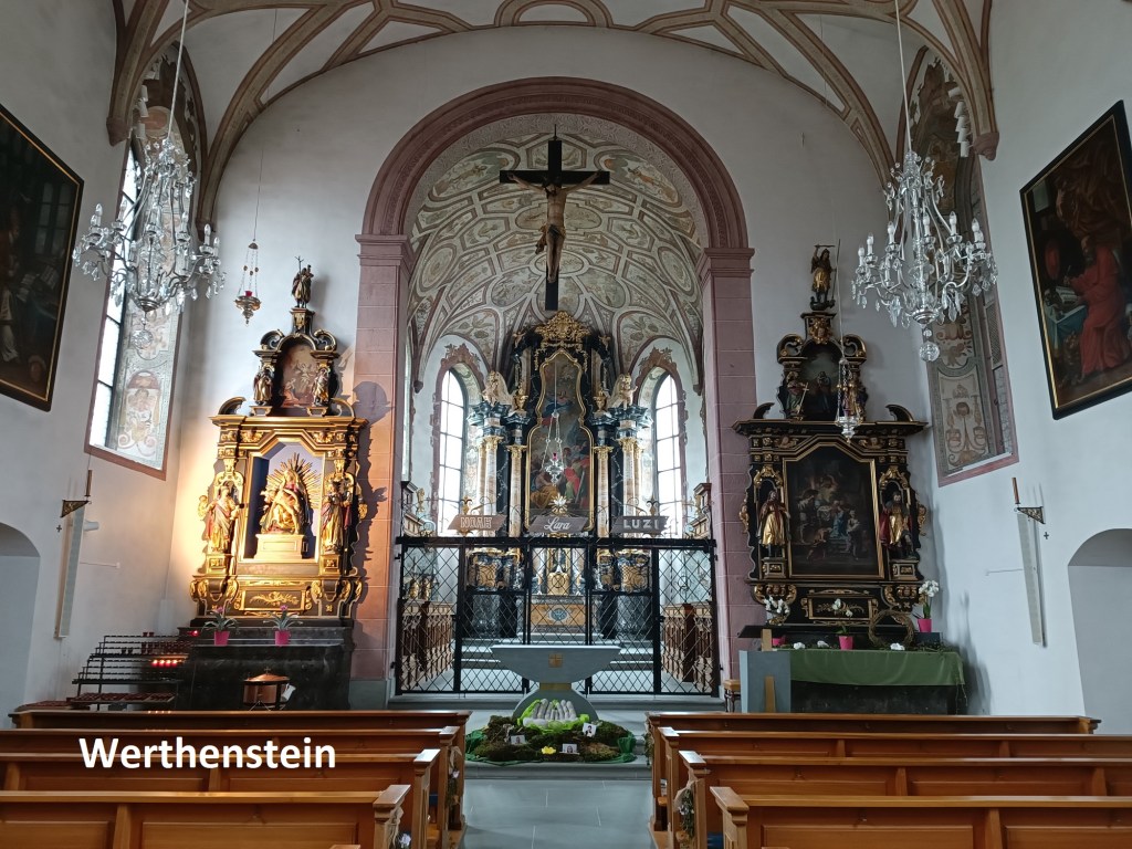
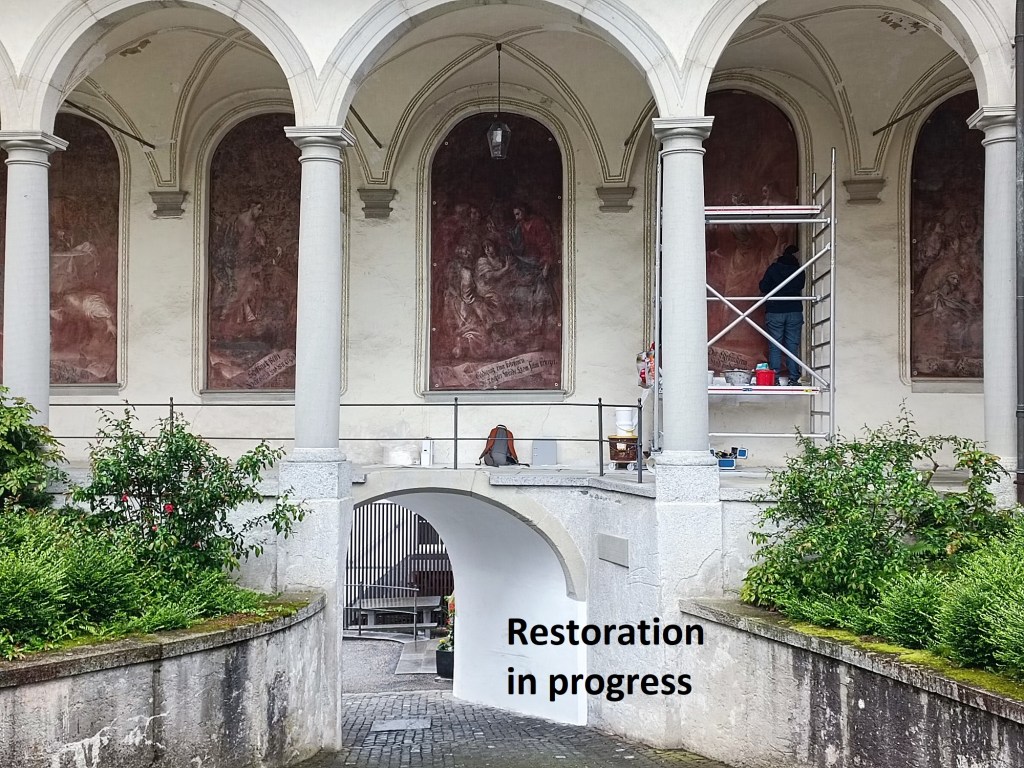
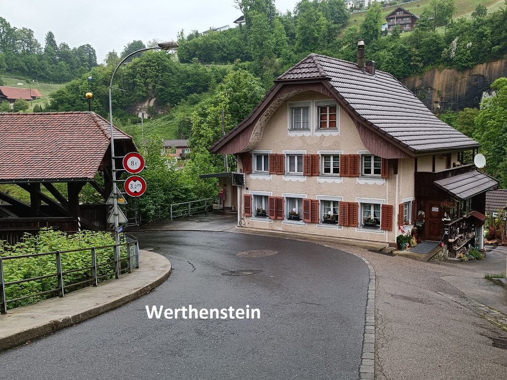
I continued on through the woods and eventually reached Werthenstein. Werthenstein is the site of a large monastery. The story goes that at the beginning of the sixteenth century, an angel appeared to people in the area. There were also some unexplained healings reported, and so a monastery was built, first consecrated in 1520. Through the reformation, Luzern remained a Catholic canton, and artefacts from Bern were moved to Werthenstein, making it a place of pilgrimage. With this newfound importance, the current church was built in the 1630s, and the monastery was handed over to the Franciscan order. But in 1826, part of the church collapsed, and later the Luzern authorities ordered the monastery to be closed, turning it into a school for deaf and mute people. In the 1900s, the church became a parish church, and since the 1950s, there has been periodic restoration work ongoing at the site. While I was there, there were people working on the murals in the courtyard.
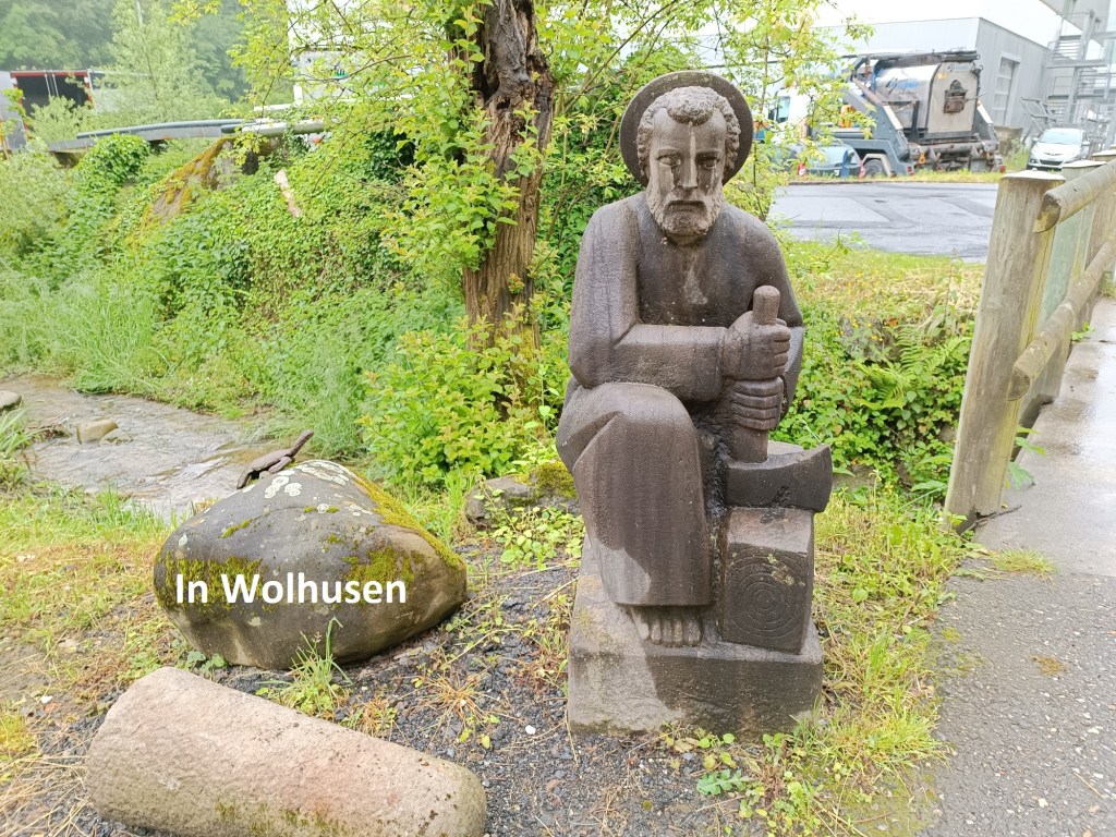
From the monastery, I went down the hill into the village, passing a typical Luzern style house and going over the covered bridge beside it. This is where the trails 3 and 4 divide again. Trail 4 goes north towards Willisau, but I was continuing west on trail 3. I went up over the hill and came down towards Wolhusen. I came into the village through an industrial zone, where there was an interesting sculpture. It is obviously a saint, but which one? And what is the significance of the turtle on the rock?
I easily made my way through the industrial zone and on to the train station and started for home.
My total step count for the day was 39,778.