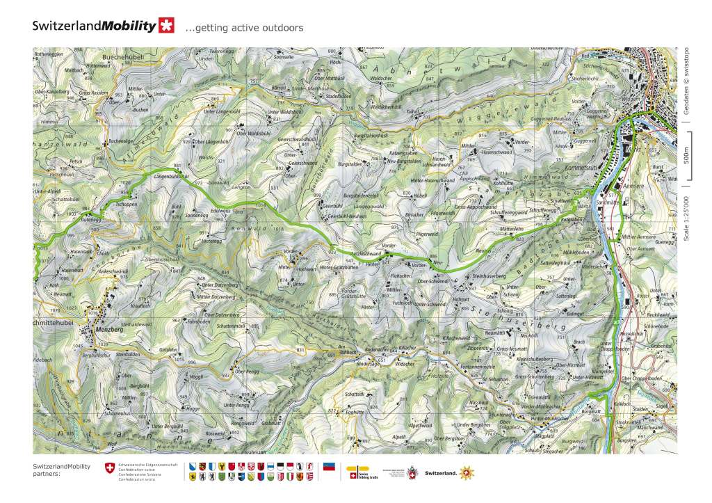
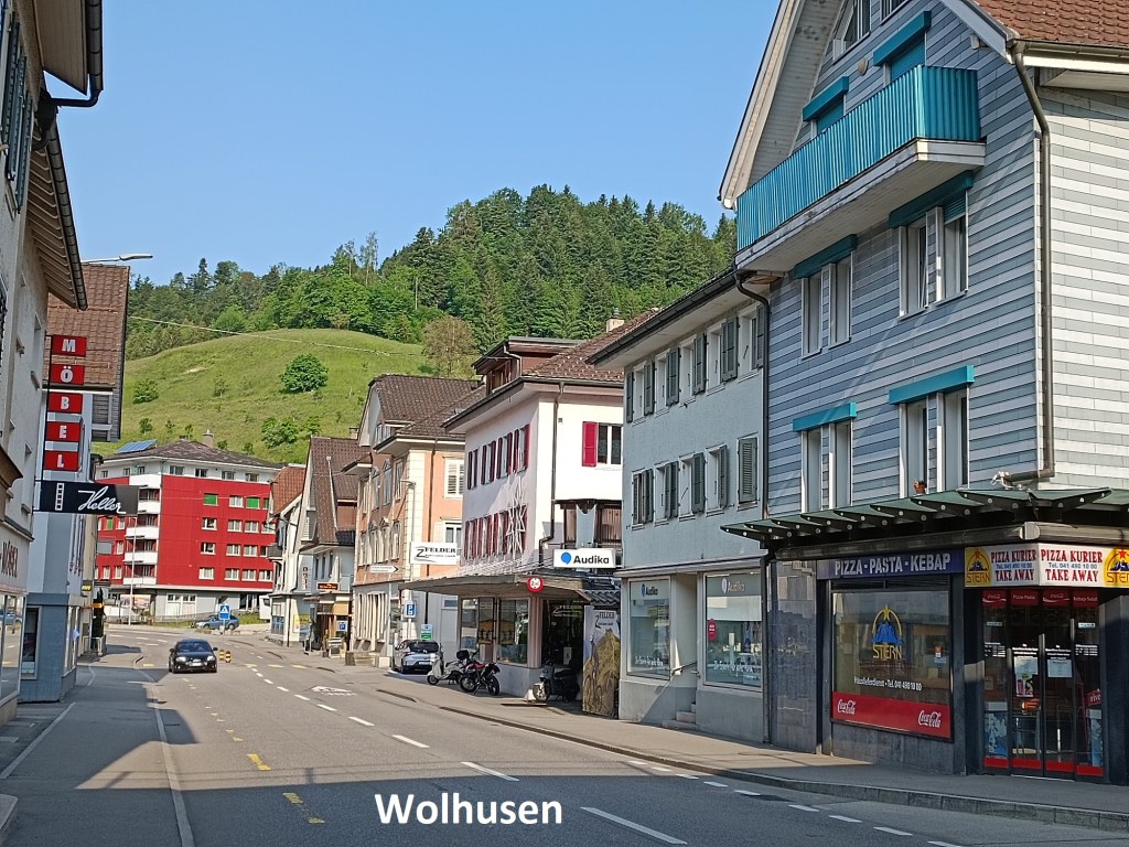
A few days after arriving in Wolhusen, I was back there again for the next stage of the walk. After the arrival in Zug, the two subsequent walks, though not flat, have not involved going to high places. There were only two small stretches between Zug and Wolhusen that were above 750m. But after Wolhusen, I would be going back to the higher ground again, and that meant that logistics becomes important. On the lower ground, it is easy to make decisions about the distance to go, because there is always a bus stop or a train station not too far away. But above 1000m, the exit points from the walk are much less. For this reason, I decided to follow the guidebook for the next recommended stage, only going as far as Napf. The map indicated that there is a cablecar system between the berghotel on the heights, and Mettlenalp in the valley below. But I could find nothing about such a cablecar on the internet. The only way to find out the reality would be to go there.
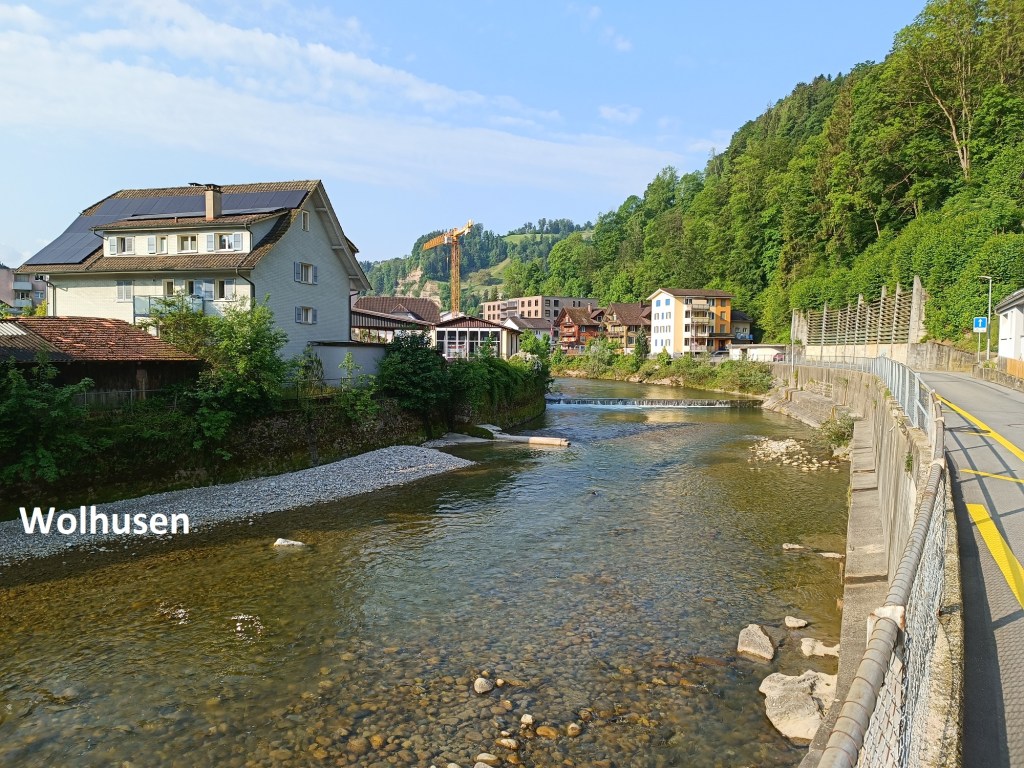
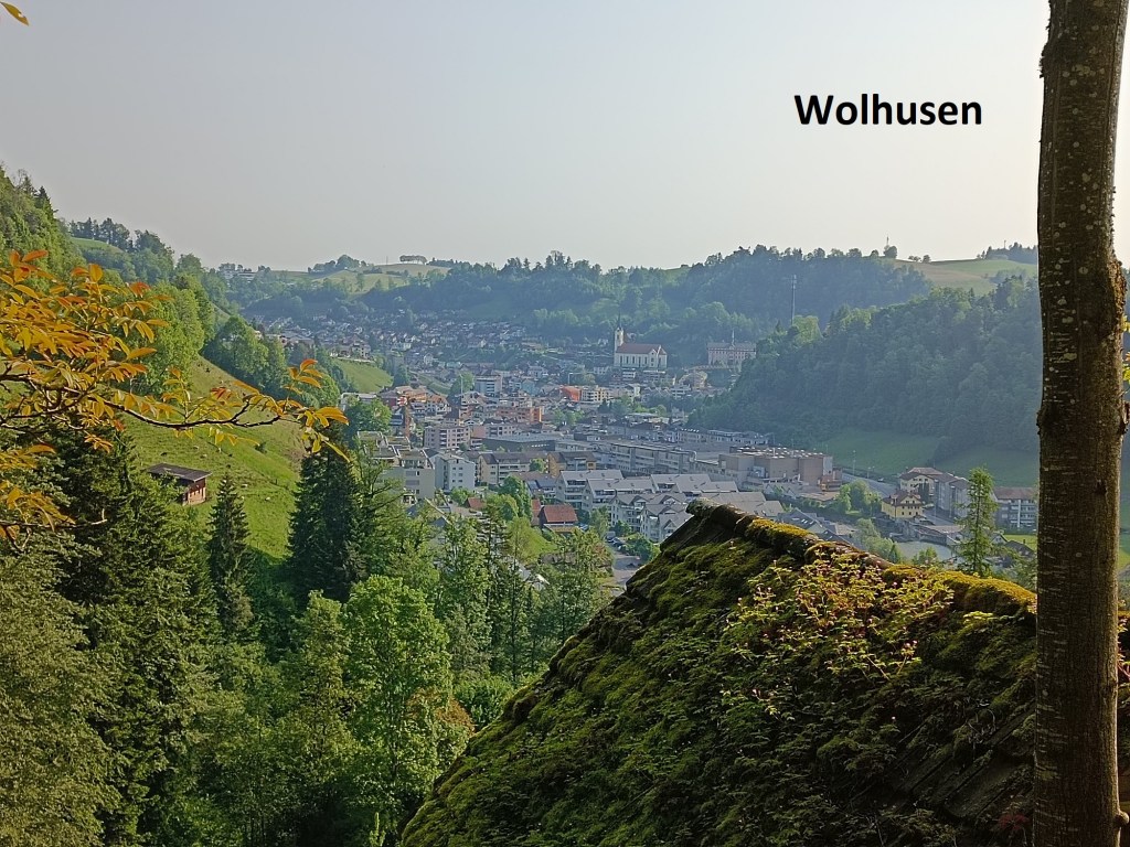
The road out of Wolhusen, passing by the river, soon comes to an end, and a steep path rises to the heights above. Within a distance of one kilometre, the trail goes up by more than 200m. But along the way, I was treated to a fine view of Wolhusen. And it did not take long until I came to the top of that steep section.
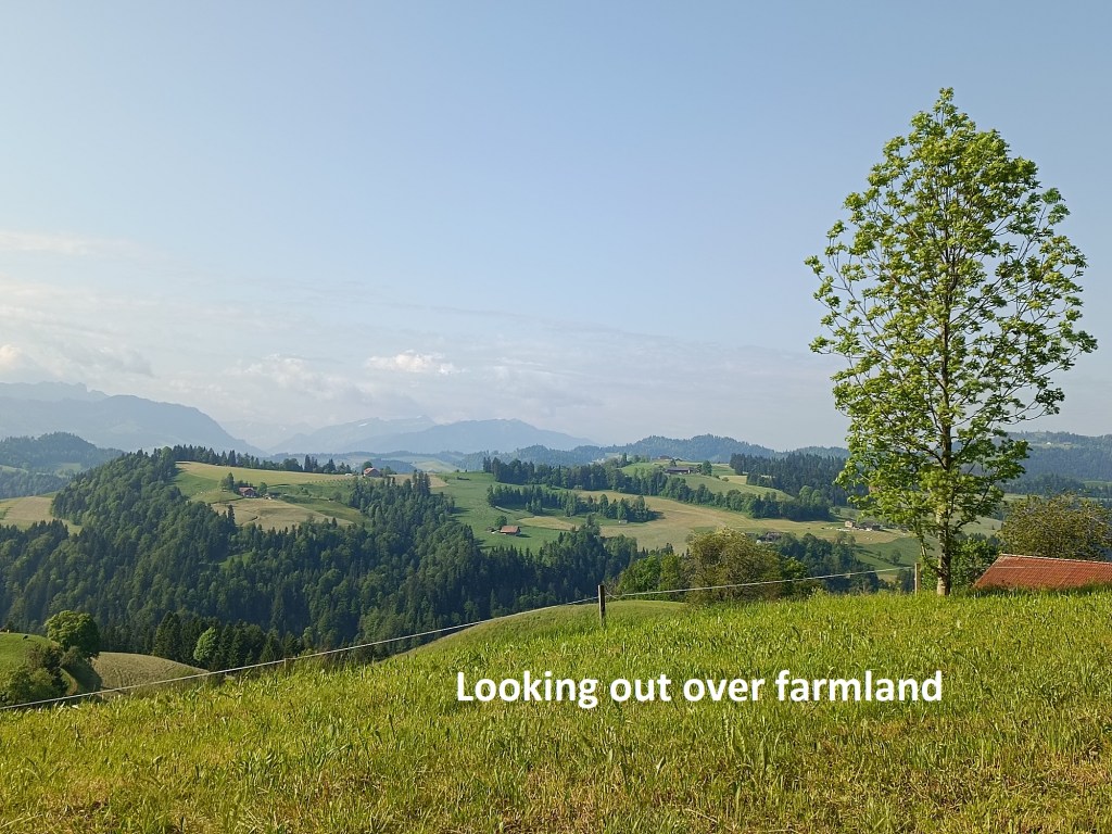
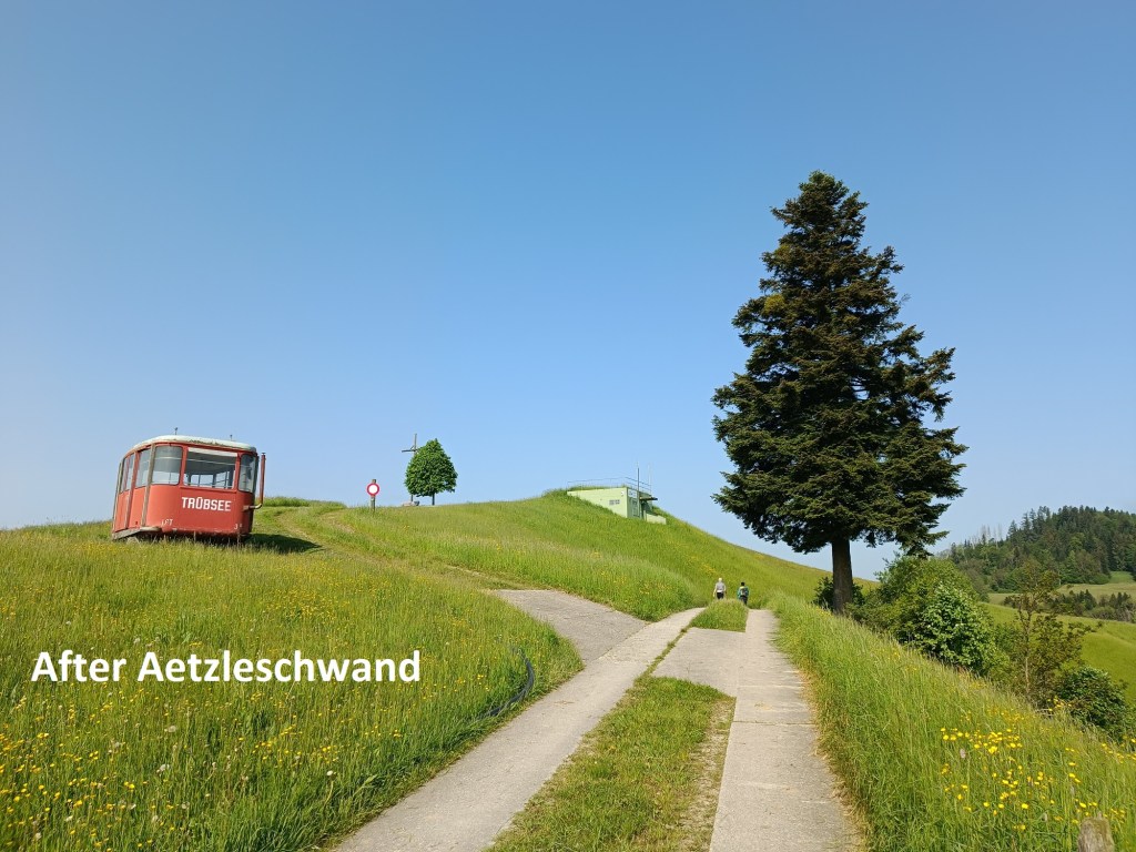
The trail continued upwards, but less steeply than before. I was on a ridge and looking out over the farmland in the valleys below. At Aetzleschwand, the trail levelled out, and even descended a few metres.
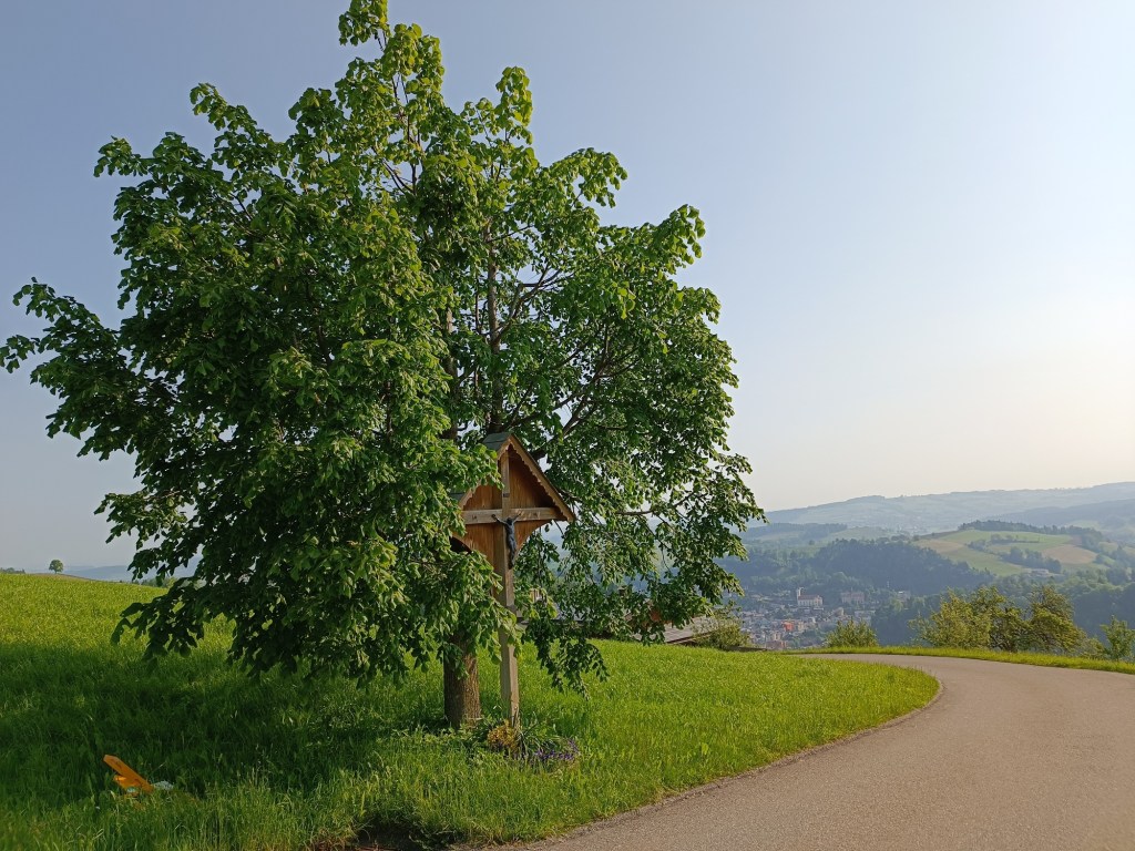
The panoramic views of the valley below continued as I went on, passing the Edelweis farmhouse, and through the forest, before coming within sight of Menzberg.

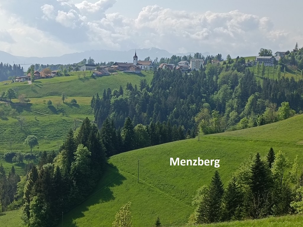
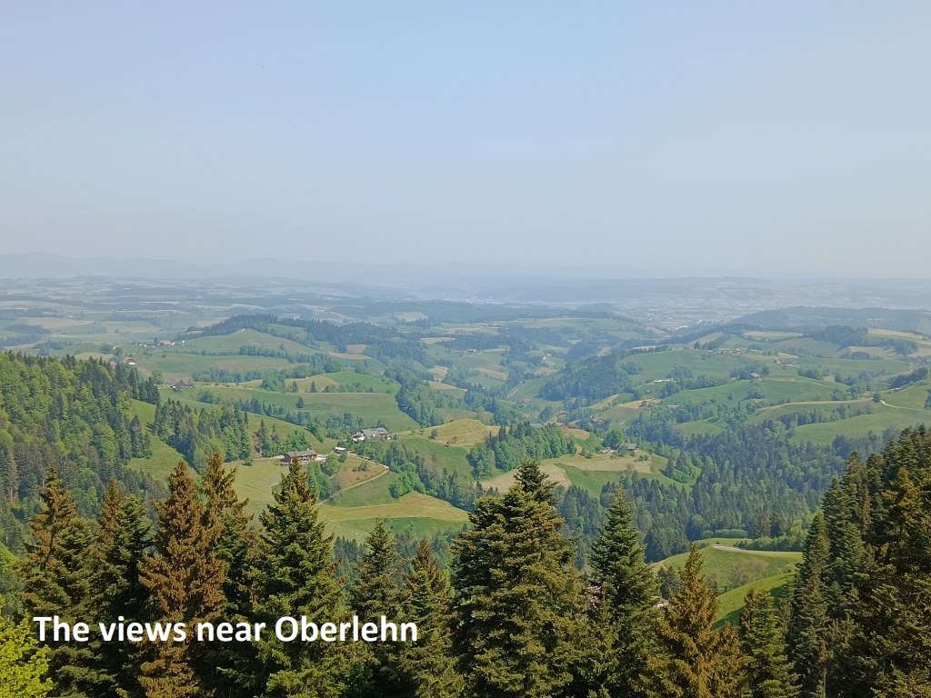
The trail does not go into Menzberg, but instead turns off to the right, and goes through a wooded area. It eventually emerges from the woods at Oberlehn. As it continues, there are magnificent views of the Swiss Mittelland to the northwest.
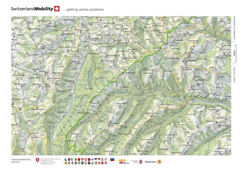
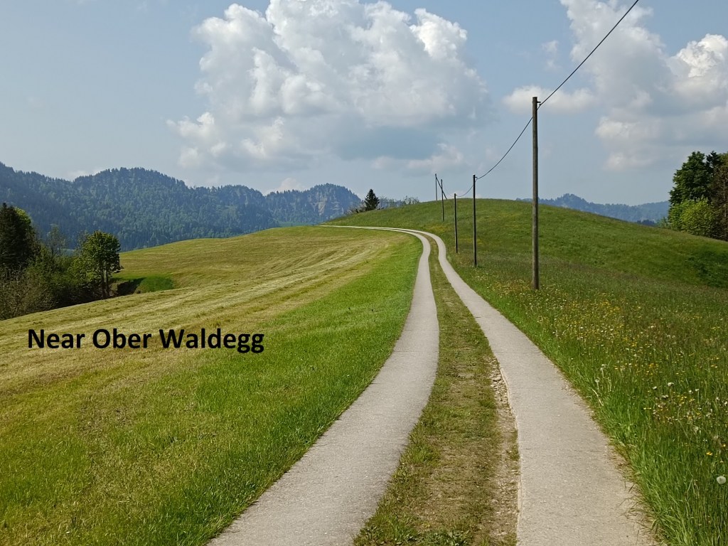
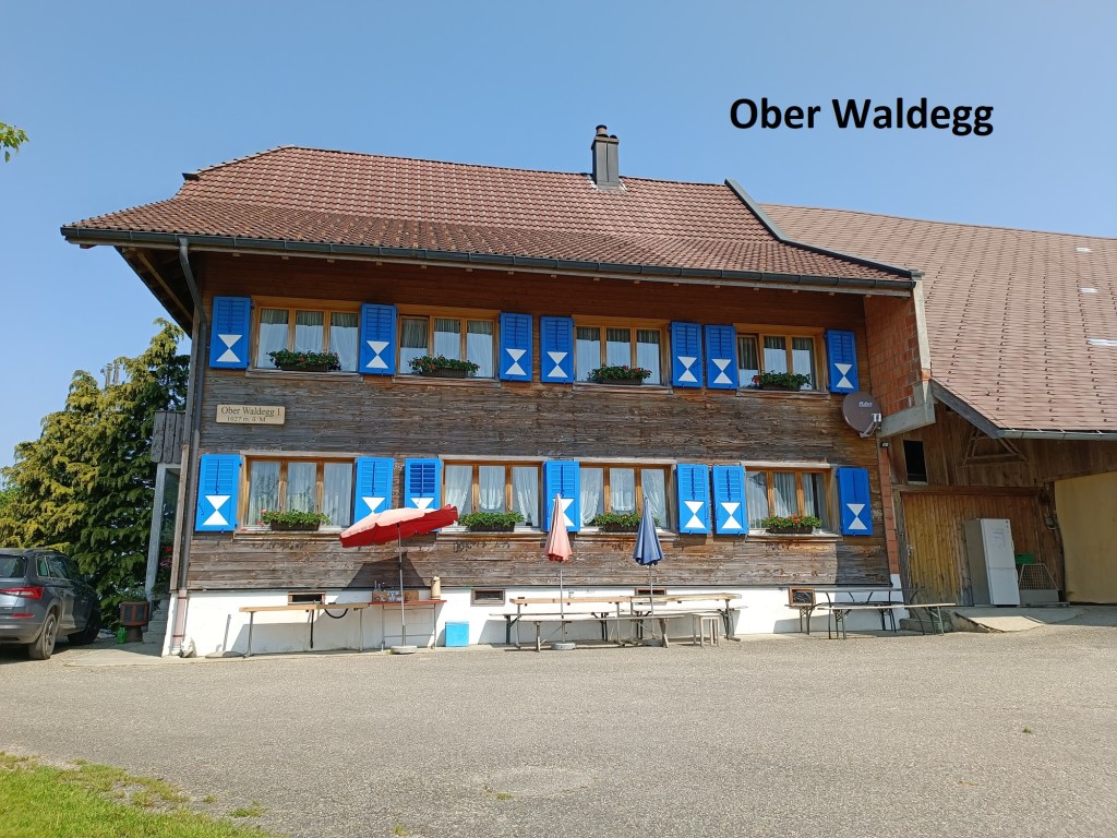
The route actually descends after that, losing more than 100m of the hard-won height. It is a gently descent, passing Ober Waldegg.
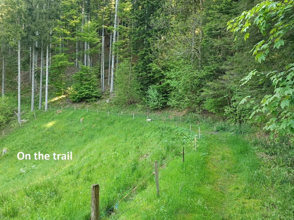
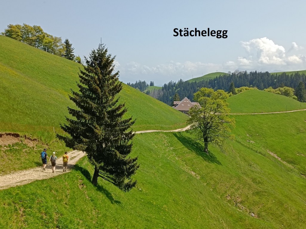
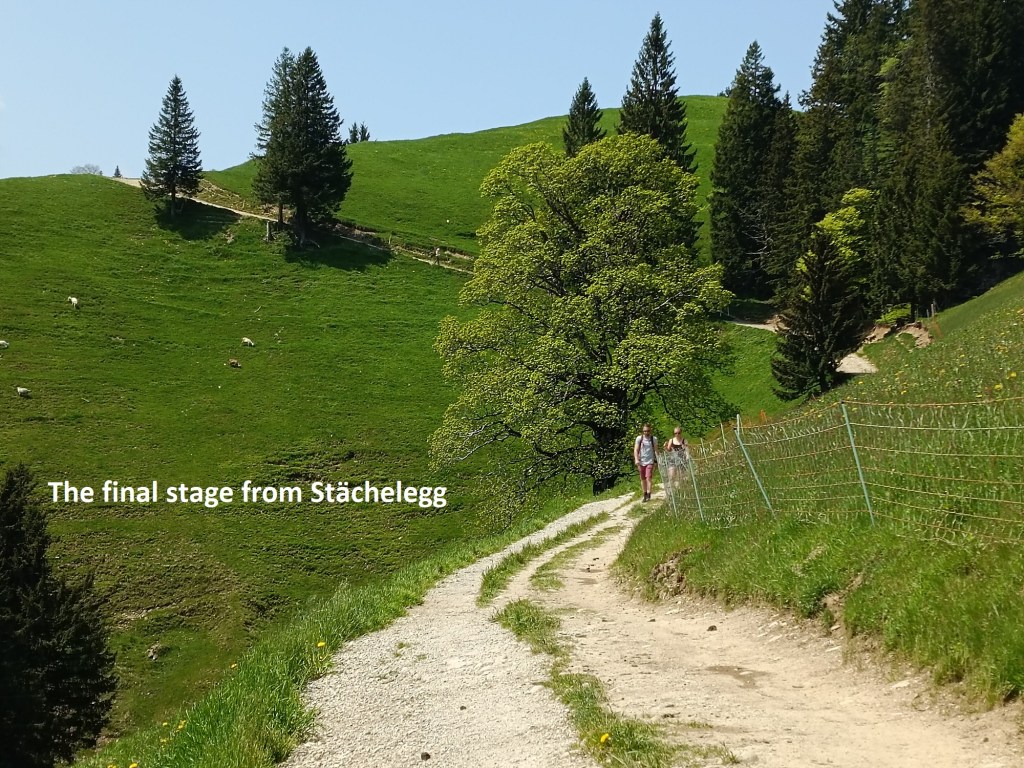
Then the ascent began again. The route goes up, passing Gmeinalp and going into the forest beyond. At Chrotthütte, I stopped briefly for some water. And then it was onwards and upwards, ever upwards. It is a total of 320m ascent before the trail levels out before coming to Stächelegg. I didn’t stop there, but kept on going for the final piece of the route up to Napf. I came across goats grazing. Even in Switzerland, cows are fine on level ground, but on steep slopes, it is hard to do better than a goat.

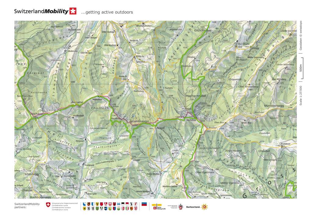
And it was worth it. The views from Napf are fantastic. There is a berghotel there, as I mentioned at the beginning of this narrative, so it was time to take some refreshments.

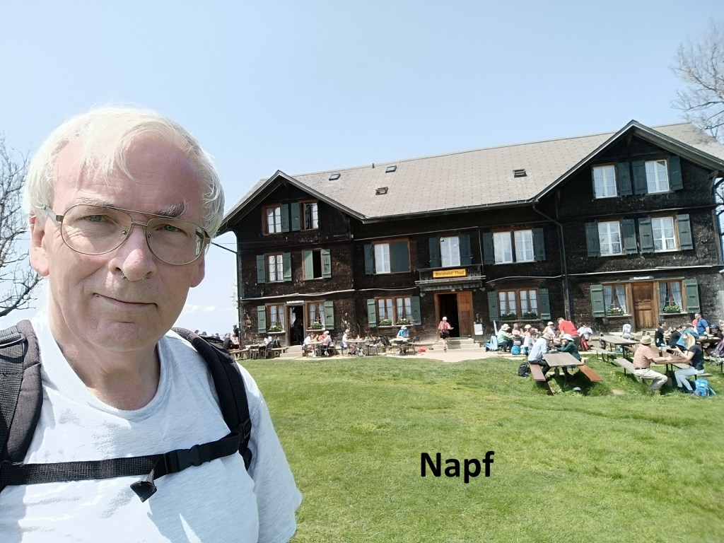
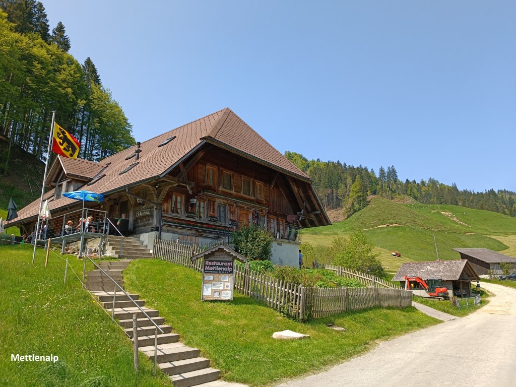
The cablecar shown on the map, does exist, but it was clearly not operating when I reached Napf. There would be no alternative but to walk down the steep slope to Mettlenalp. It is not a long walk, and I met several people still coming up. It seems to be popular for people to park at Mettlenalp and take the short walk up to Napf. When I reached Napf, I took a look at the cablecar station there. The vehicle is clearly not suited for passengers, and a notice proclaims that passenger traffic is not allowed. Mystery solved.
I was now firmly into Bern canton, having left its neighbour Luzern. The next stages would continue to take me through the Voralpen hills of Bern.
And my step count for the day was 37,320.