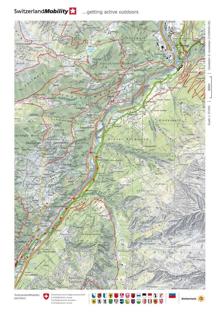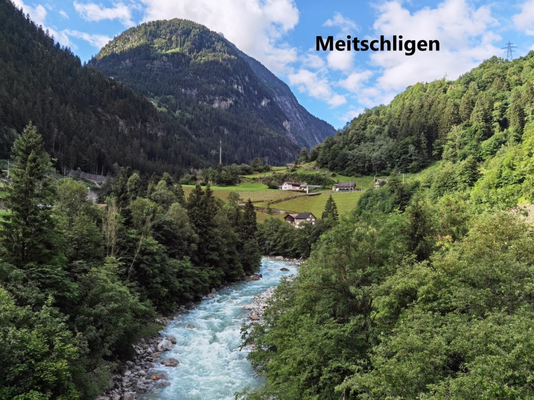
Circumstances forced me to take a few weeks away from Switzerland, so when I got back here, the return to the Trans Swiss Trail was a priority. That is why I was up early on Sunday to take the train and bus to Meitschligen, where I finished the last time I was on the trail. Interestingly, and it is a sign of the times we live in, there were more people on the bus from Erstfeld to Meitschligen that there were on the flight that brought me back to Switzerland last week.
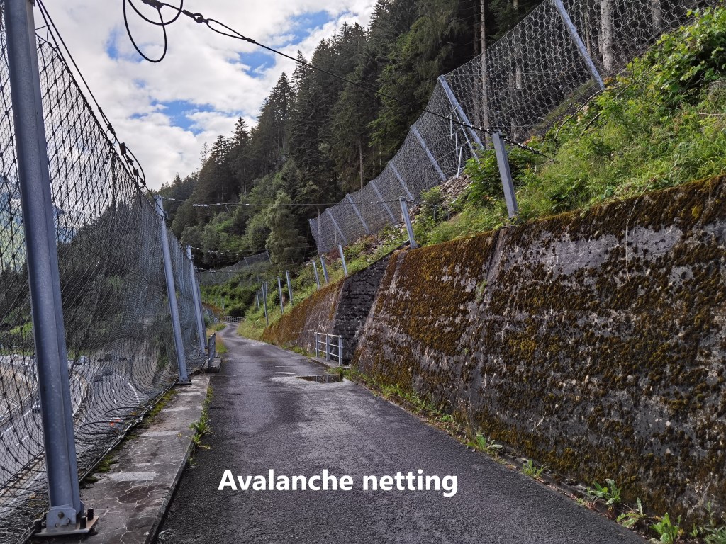
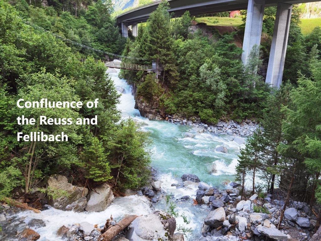
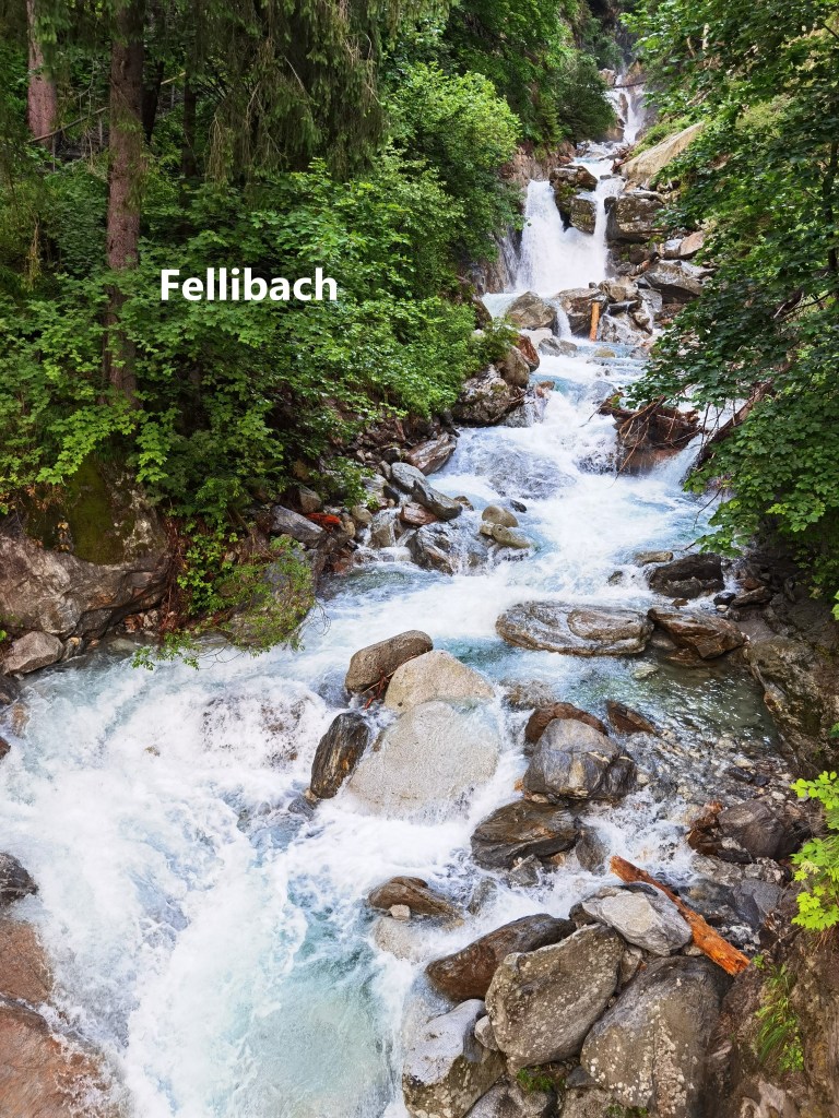
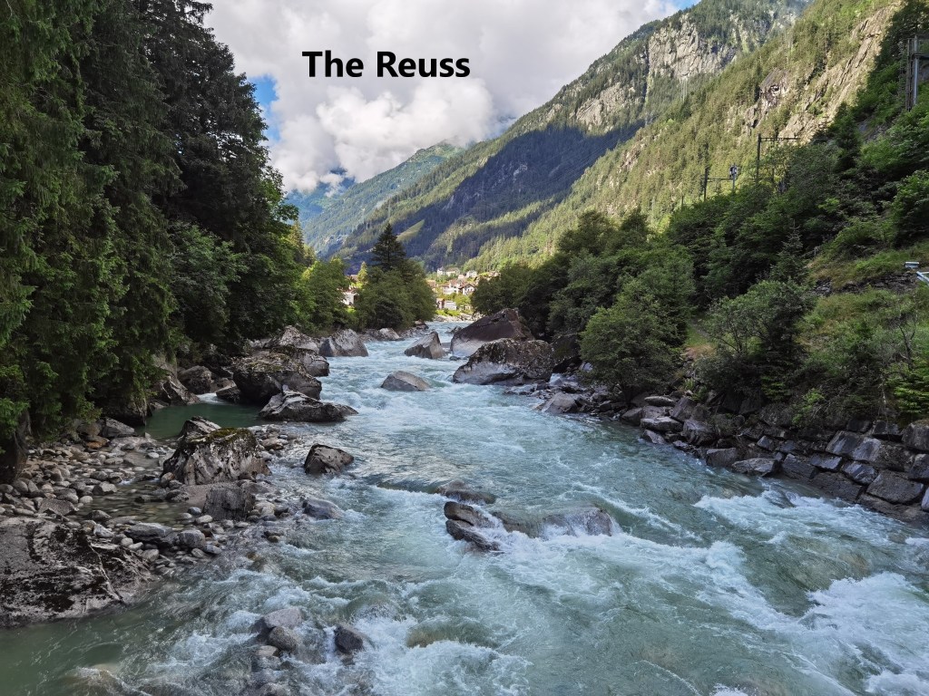
The weather has not been kind recently, but it was sunny when I started out from the bus stop at Meitschligen. The route follows the eastern side of the valley up above the river Reuss. I walked in between avalanche nets for a while and soon came to the place where the Fellibach and Reuss rivers meet.
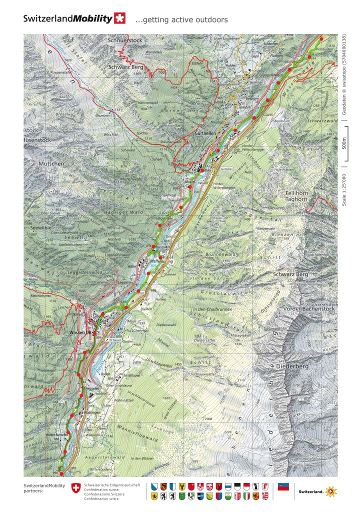
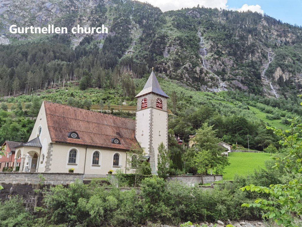
The trail then crosses over to the other side of the Reuss, and heads southwards to the village of Gurtnellen. This was gentle walking, with the route only ascending seventy metres in a little over three kilometres of distance, and I made good time.
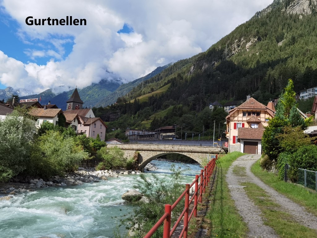
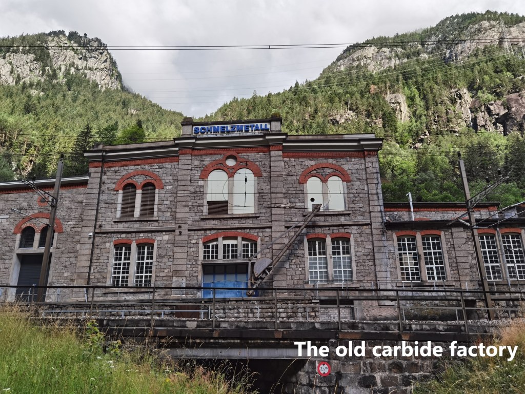
Gurtnellen is the site of one of the first industrial enterprises in Uri canton. In 1899, the Elektro-Chemische Fabrik was set up to make carbide, which was used to produce gas for lighting. Addition of water to carbide in a controlled way produced acetylene gas, which could be burned for lighting. Power for the enterprise came by harnessing a nearby stream for electricity. However, with the twentieth century, electricity soon replaced carbide as the method of indoor lighting and the factory faded. Other industries now use the building.

Gurtnellen was also the scene of disastrous floods in August 1987. Heavy rainfall led to severe flooding in the Reuss valley, and in Gurtnellen, the railway embankment was undermined and fell away. Traffic on the Gotthard line was disrupted for weeks.
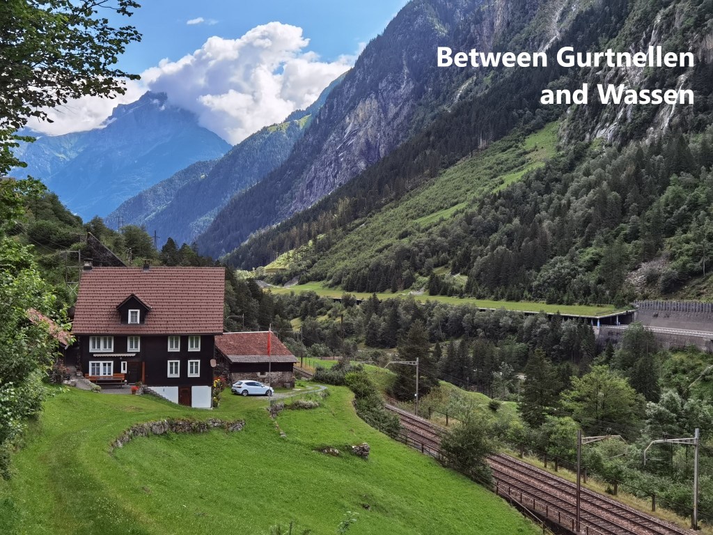
The route ascends more steeply after Gurtnellen, passing through a rural landscape to reach Wassen.
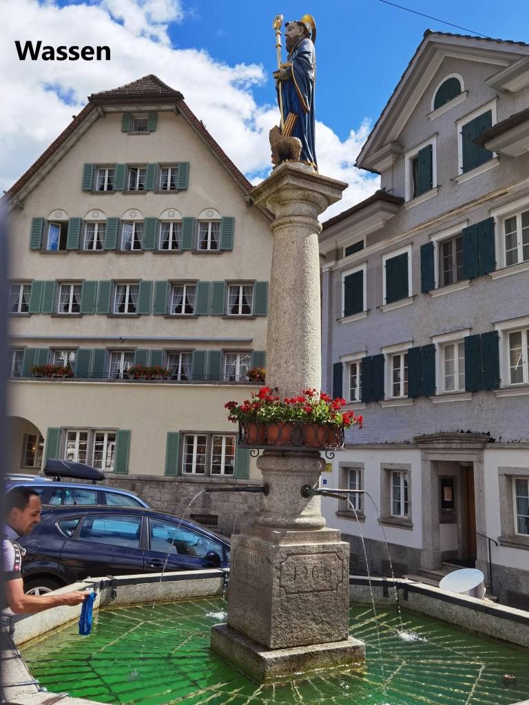
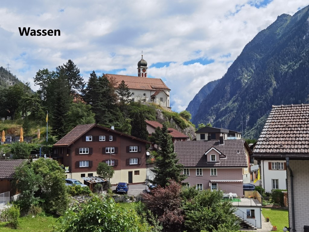
Wassen seems to be something of a magnet for various kinds of tourists, and on the sunny day that it was, there were cyclists, motor-cyclists, caravanners and people in convertibles all milling around the town, stopping for refreshments on their way to heaven knows where. I stopped briefly for a short rest, and then went on.
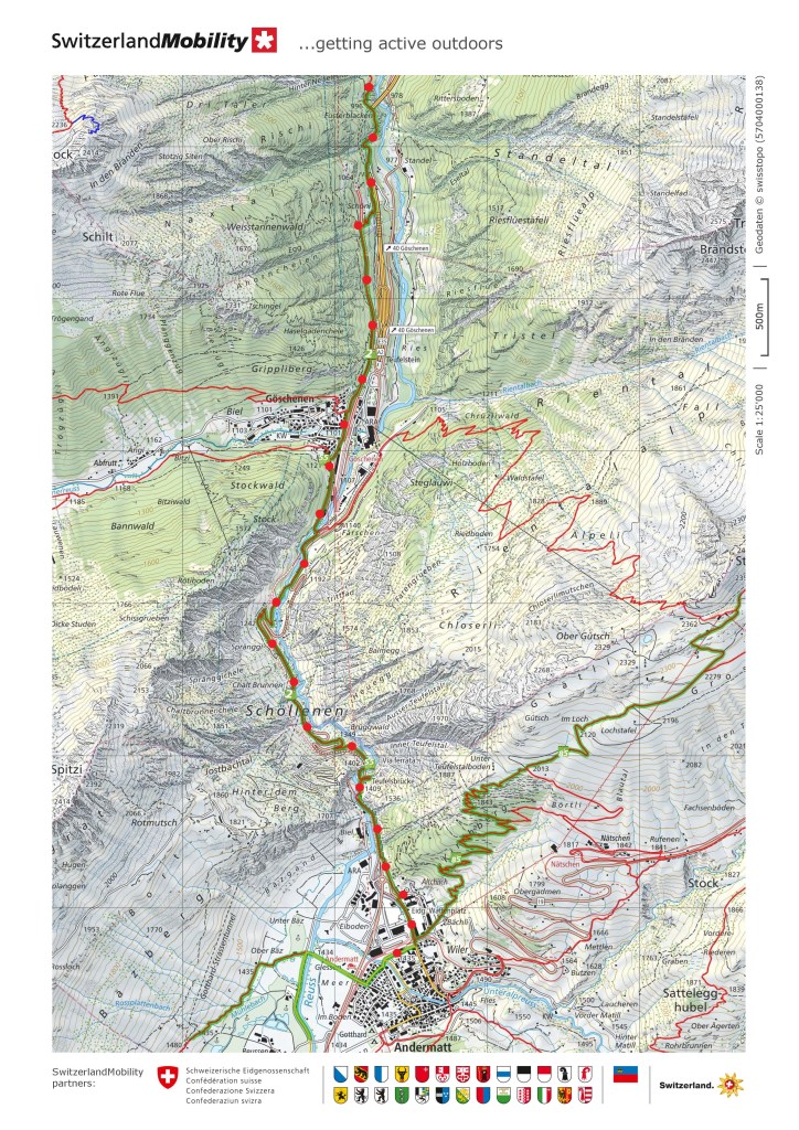
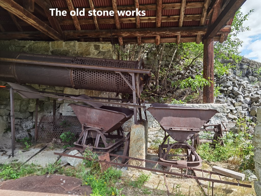
After leaving Wassen, the trail passes an old stone works. The building of the Gotthard railway required a lot of stone, and most of it came from the surrounding mountains.
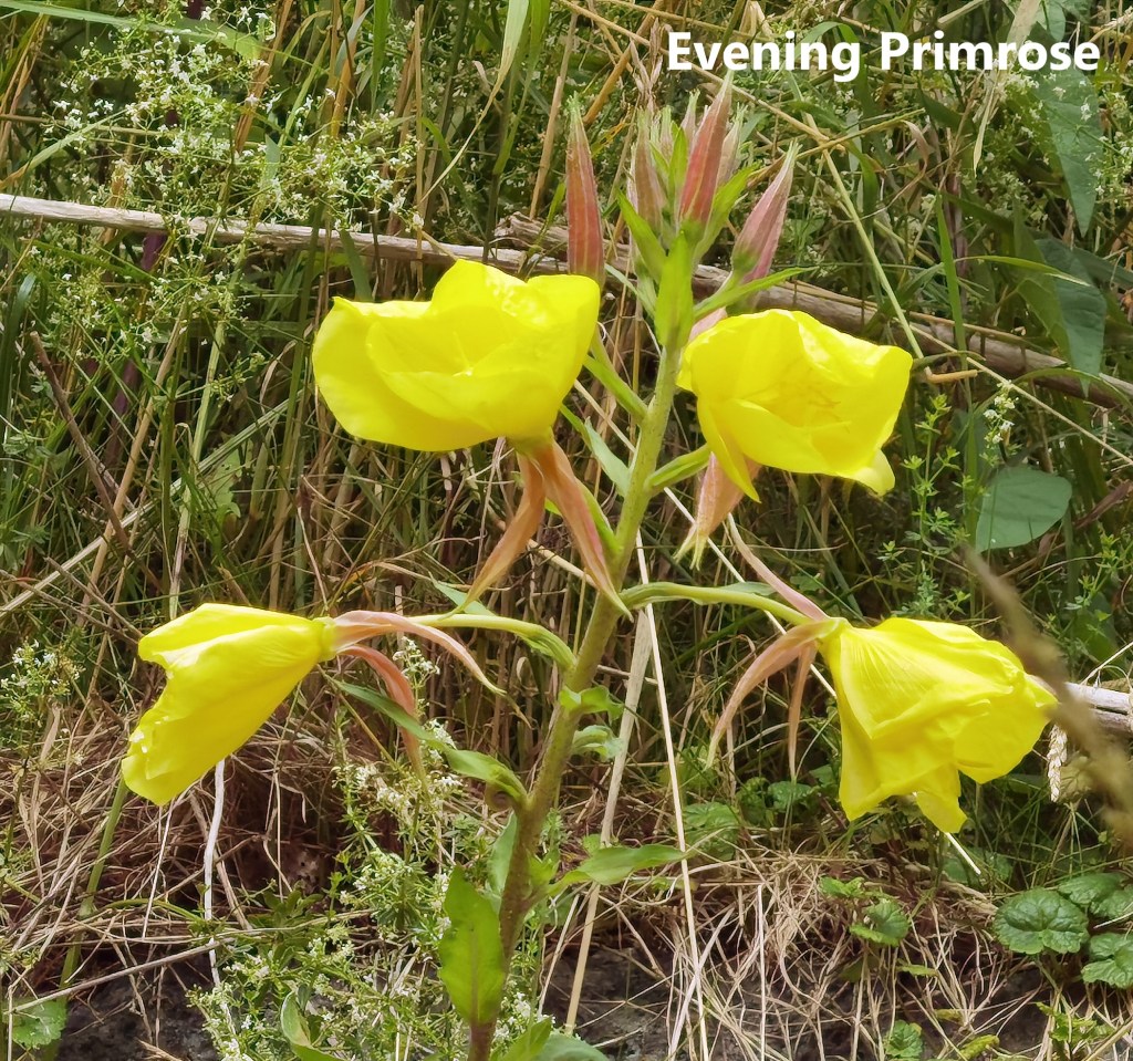
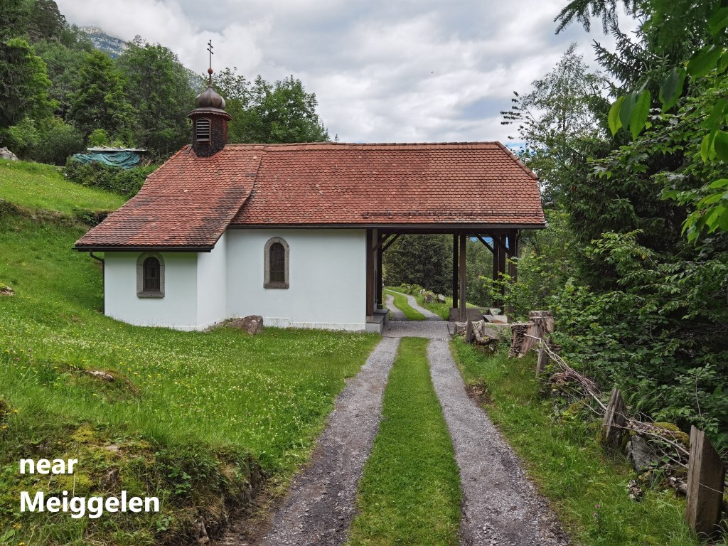
It was nice to see evening primrose plants growing plentifully on the route. Near Meiggelen, I passed a wayside chapel, but unfortunately it was locked. The trail itself has some interesting features, rising and descending steeply in places, but overall ascending as it makes way southwards.
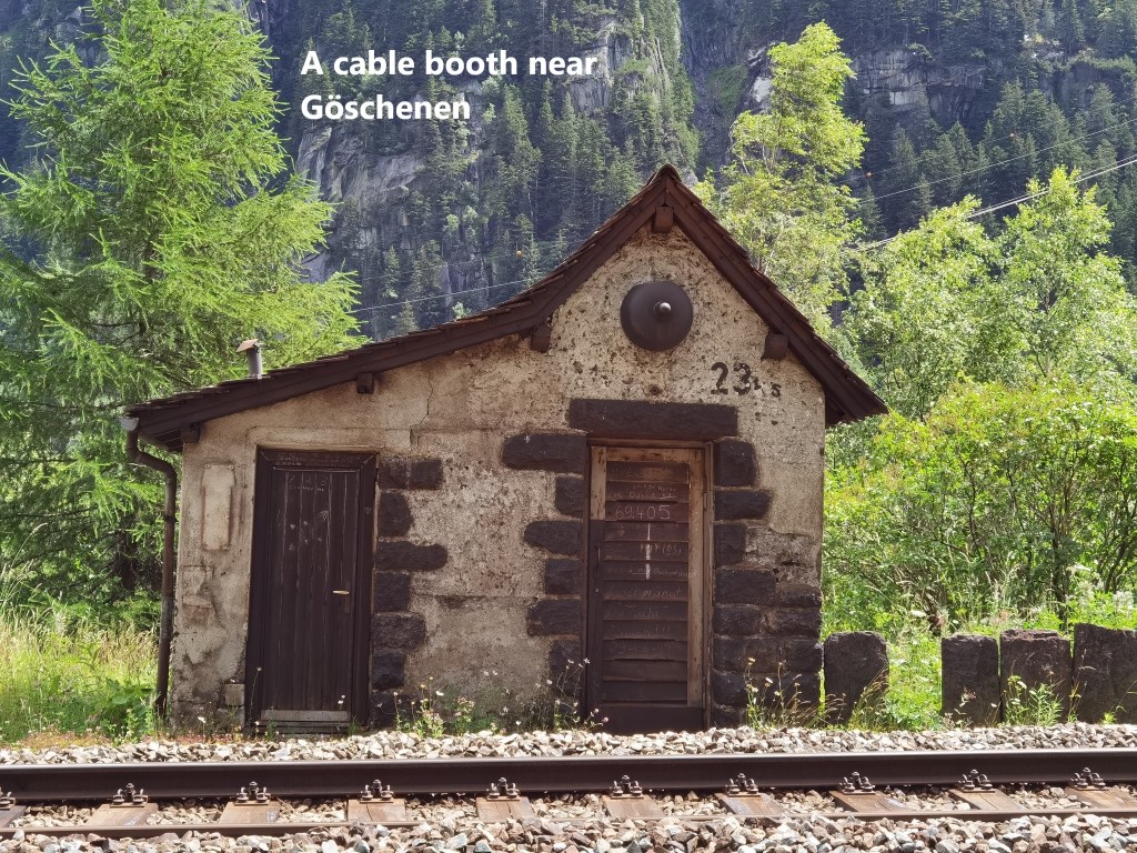
The trail levels off when coming near Göschenen. One of the first signs of approaching that village is the cable house beside the railway. Long before the line was electrified, cables were used for telegraph and signalling systems. The points where cables were joined together were enclosed in these cable booths for protection. A few of these still remain along the line, and the one at Göschenen is in relatively good condition.
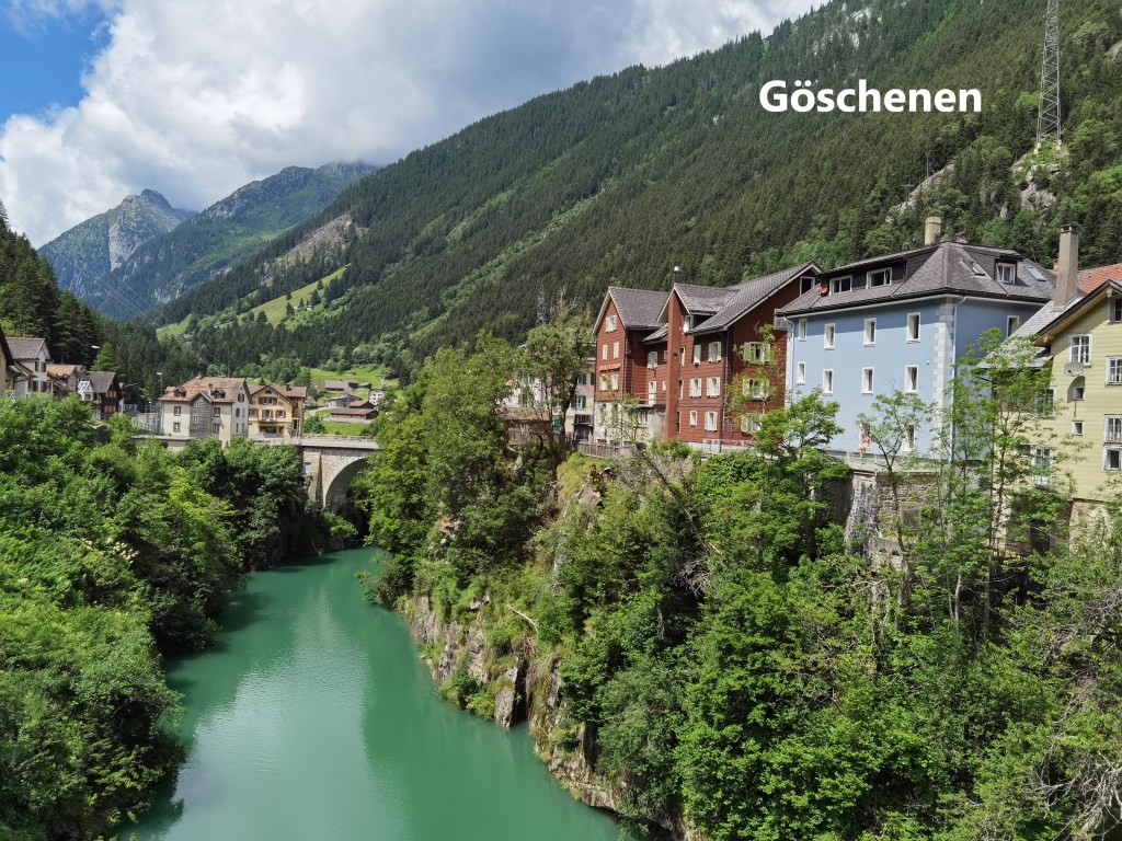
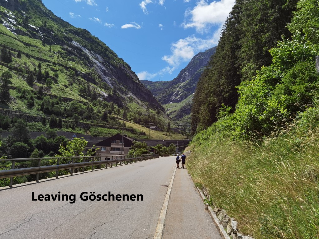
The trail does not go into the middle of Göschenen village, but stays close to the railway line. The standard gauge line goes into a tunnel just past the train station, but a narrow gauge line of the St. Gotthard-Matterhorn railway continues on up the valley. My route took me alongside this railway until I came to the Häderlisbrücke.
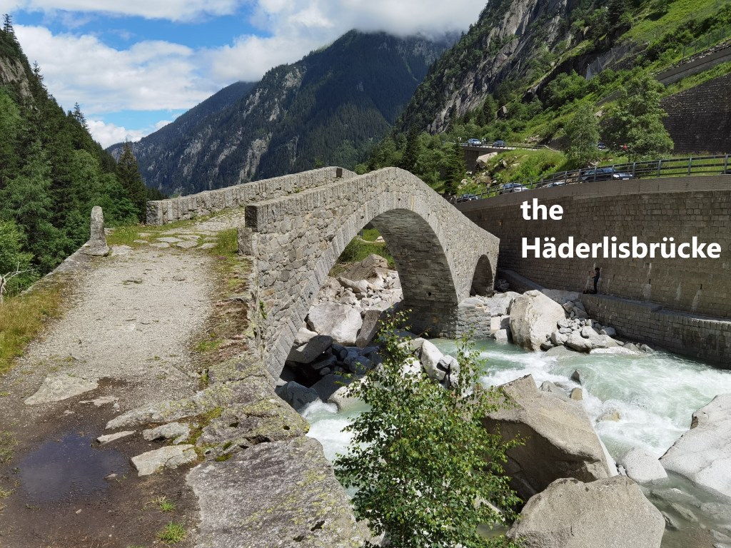
There has been a bridge in this area since the twelfth century, but the first stone bridge was constructed in 1649. Unfortunately, the same floods of August 1987 that did so much damage near Gurtnellen also washed away the Häderlisbrücke that was there at that time. In 1991, Uri canton, with the help of the federal government, started construction of a new bridge, to be a replica of the old one. Old photographs, paintings and drawings were used to plan a faithful reconstruction of the older structure.
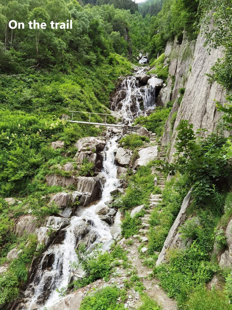
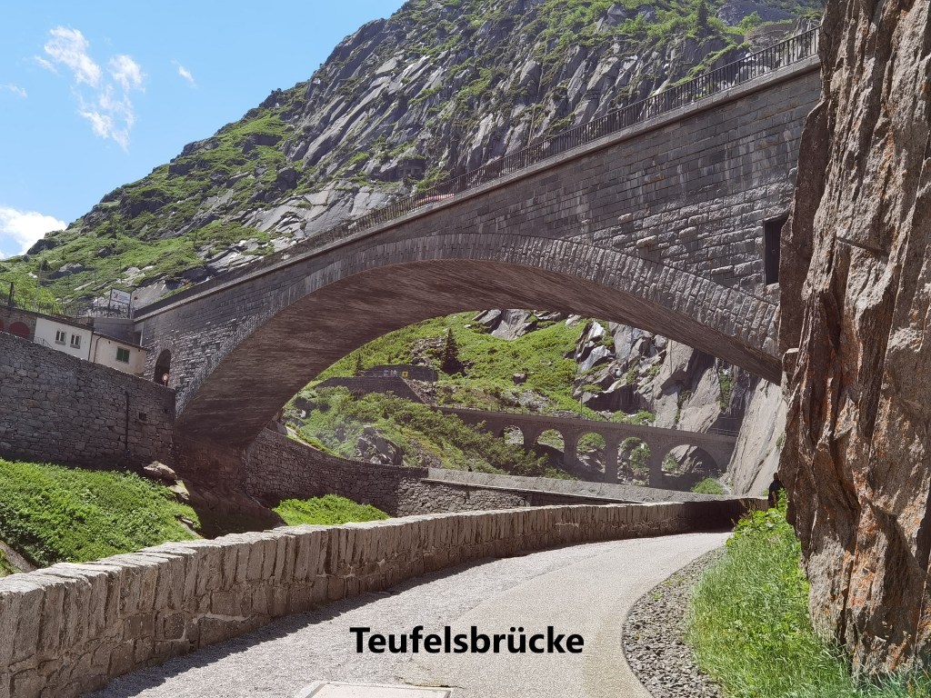
From there the valley narrows, and the road, rail, and hiking route all compete for space. At one point the hiking route follows the snow protection cover above the road. The trail winds upwards until eventually, rounding a bend, the Suvarov Monument and the Teufelbrücke, or Devil’s Bridge, come into view.
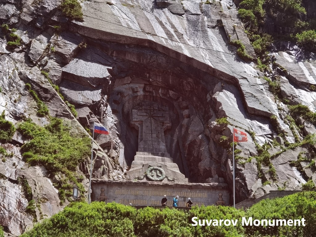
In September 1799, a combined force of Russian and Austrian armies forced a French army from the Gotthard pass itself back into the Reuss valley. Just below the village of Andermatt, the Reuss goes into a gorge. At the same time, the steep sides of the valley make it necessary that an army going down the valley would cross from the right bank of the river to the left. The French army crossed over and cut the bridge behind them. Suvarov brought in heavy wooden beams, and reportedly tied them together with the sashes from the officers’ uniforms. His army laid the beams over the break in the bridge and forced the crossing. Despite heavy losses, they pushed the French army all the way down the valley as far as Altdorf. The monument, with Russian and Swiss flags, commemorates the series of battles that took place here.
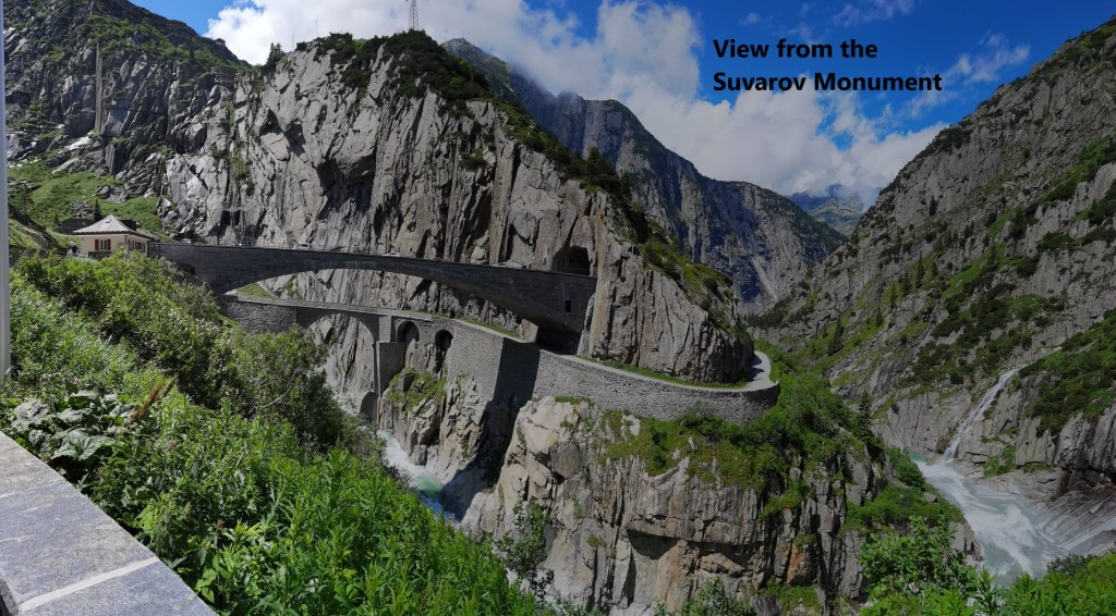
The Teufelbrücke has its own legend. The story goes that the people of Uri tried several times to build a bridge without success. In frustration, one person said that perhaps the devil would build a bridge for them. The devil appeared and said he would build the bridge, but that his price was to take the soul of the first person to cross. The people agreed to the bargain, and three days later the bridge was built. The people sent a goat across the bridge and told the devil he could have that soul. The devil, angry at being outwitted, picked up a huge rock to throw at the bridge, but the rock had been marked by a cross, and it passed over the bridge, falling harmlessly near Göschenen.
While this part of the route is interesting, a little further on is a monument that means more to me personally. On the edge of Andermatt stands the Kolumbanuskirche. It dates to the 13th century, and is in the Romanesque style.
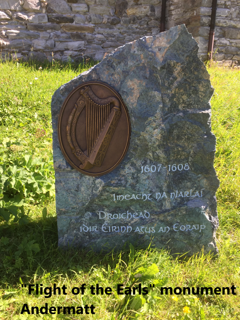
Just in front of the church is a monument marking a pivotal event in Irish history. In the late sixteenth century, the Irish leaders in Ulster, Hugh O’Neill and Hugh O’Donnell, led a relatively successful campaign of resistance against English advances in the northern part of Ireland. They harassed and ambushed every army that came against them, but failed to capitalise on their successes, while waiting on support from Spain. When a Spanish army did eventually come, it landed in Kinsale in the far south. The Spanish army was immediately besieged in the town by the English. O’Neill and O’Donnell marched their men south through winter weather and blockaded the English army. The ensuing battle was the first time the Irish took the field in standard formation on open ground. Lack of Irish experience of pitched battles, and poor coordination with the Spanish led to an Irish defeat. O’Donnell left Ireland for Spain shortly afterwards. His son, Rory O’Donnell and O’Neill were forced to make peace with the English in 1603. But they knew that they were not safe, and in 1607 they left Ireland, landing first in Spain, then in France to go on the Rome. They passed through Andermatt and over the St. Gotthard pass in March 1608. It was the end of Gaelic Ireland with its own laws and traditions. Soon after, the English colonised Ulster, leading to the problems which still persist today. The monument in Andermatt is a small but poignant remember of the passing of these last leaders of Irish resistance to English rule.
From there, it was just a short walk into the village of Andermatt. I rewarded my day’s efforts with a cold beer.
After that, it was time to take the narrow gauge train back to Göschenen, and the more standard train on to Basel.
The step count for the day was 34,989.