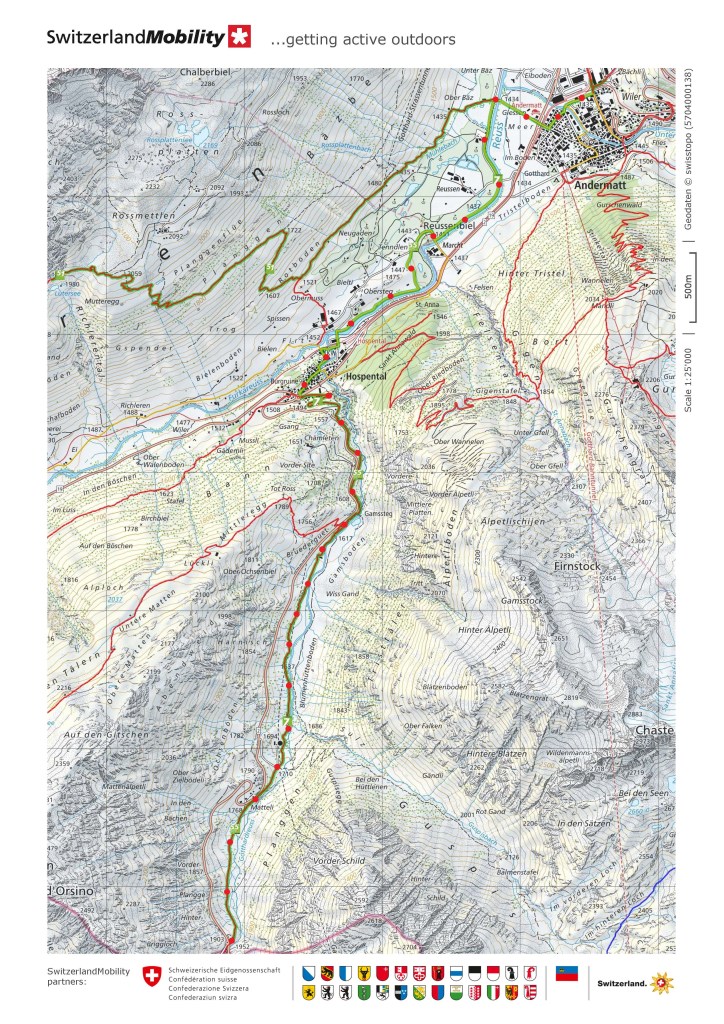
I went back to Andermatt to resume my journey, Andermatt is like a kind of crossroads in the network of Alpine route. The east-west routes from the Furka pass to Chur meet the north-south route from Uri to Ticino and Italy. There is evidence that the area has been inhabited for millennia, probably as part of the trade routes that existed even then. Among all the Alpine peaks that surround the area, Andermatt is part of a relatively flat area, suitable for farming.
And so I headed out of Andermatt into the fields beyond.
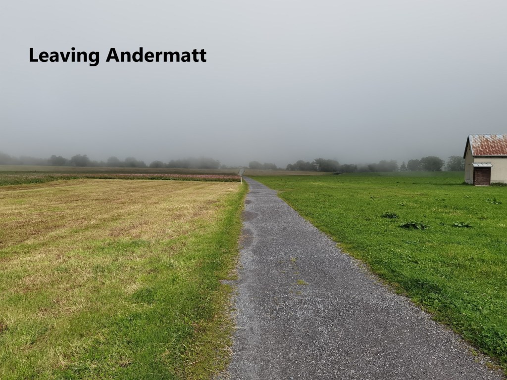
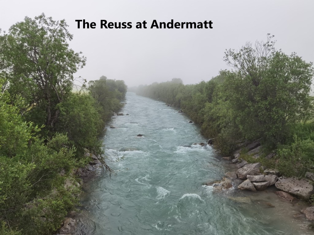
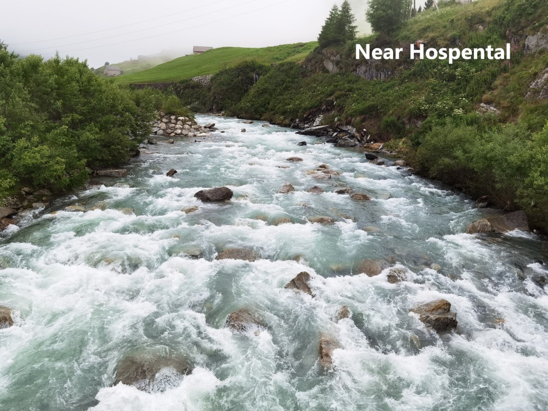
The morning was misty, despite the promise of good weather from the forecasters. The route crosses over the Reuss, much tamer now that the ground is fairly flat. It passes alongside the local golf course. A gold course in an Alpine valley is not something I expected, but there it is. The trail weaves its was around the edge of the course before following the bank of the Reuss to reach the village of Hospental.

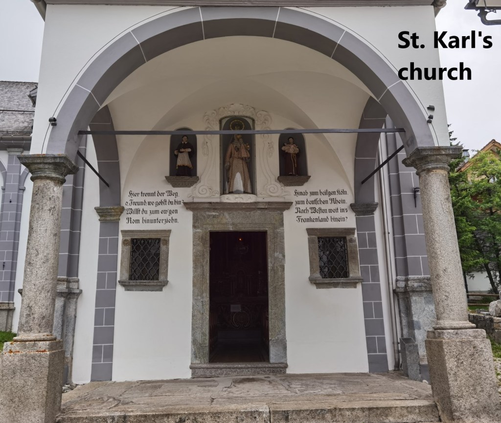
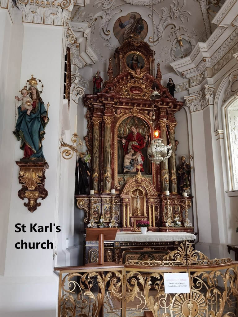
Hospental is younger than its neighbour Andermatt, with records of its presence going back to the twelfth century rather than the millennia of Andermatt.One of the more interesting sights in the village is the church of St. Karl. The church was build between 1717 and 1721 by Bartholomäus Schnid. The inscription at the door asks “This is where the road divides, friend, where are you going? Do you want to go down to eternal Rome? Down to holy Cologne, to the German Rhine, to the west far into France?” It echoes the position of Hospental and Andermatt as part of an Alpine crossroads. The church was renovated most recently in 2003.
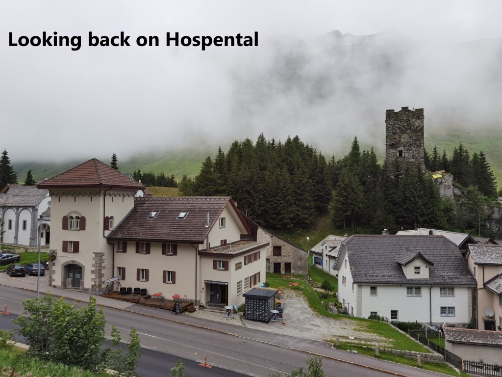
As I headed out of Hospental to the south, looking back, I could see the tower in the village. Now ruined, it served as a watch tower, probably to alert the villagers of traders coming over the pass from Ticino. The trail zig-zags upwards, and suddenly, turning a corner, it was as if I had left the valley behind, and I was into the wilderness.

Hospental is also important in terms of the Reuss. The river Reuss is the combination of two smaller streams that come together at Hospental. The Gotthardreuss starts up near the St. Gotthard pass, while the Furkareuss starts to the west near the Furka pass. They meet at Hospental, and from there are simply known as the Reuss, the river I have been following in recent stages of my journey. From Hospental, my route followed the Gotthardreuss upstream.
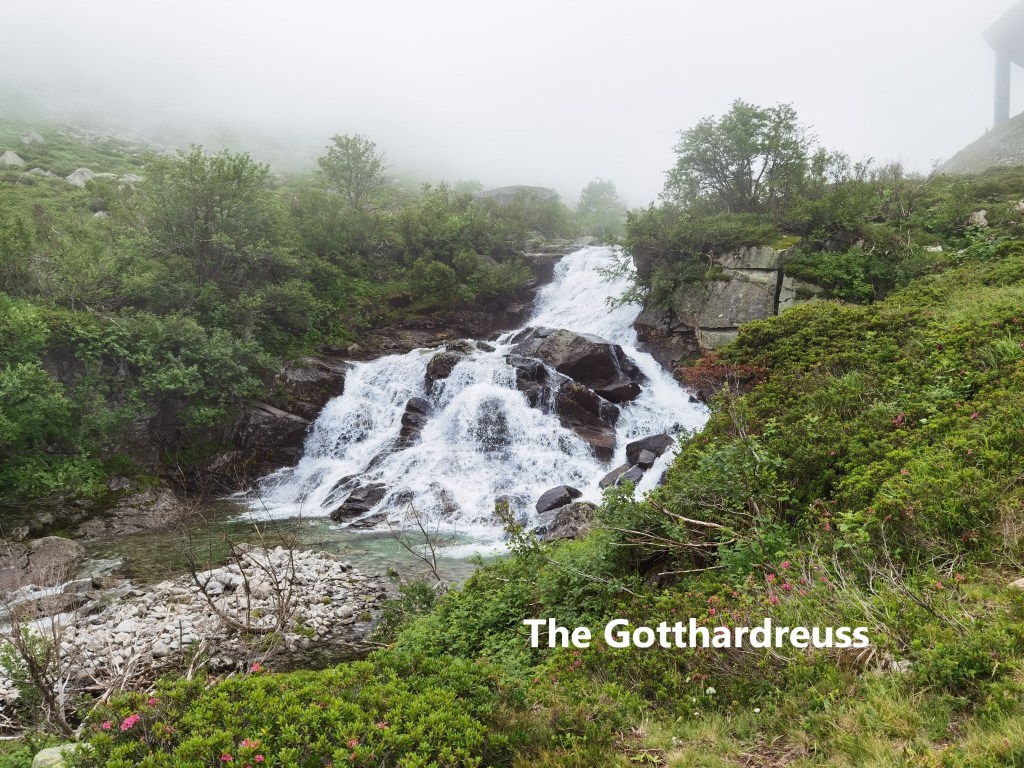
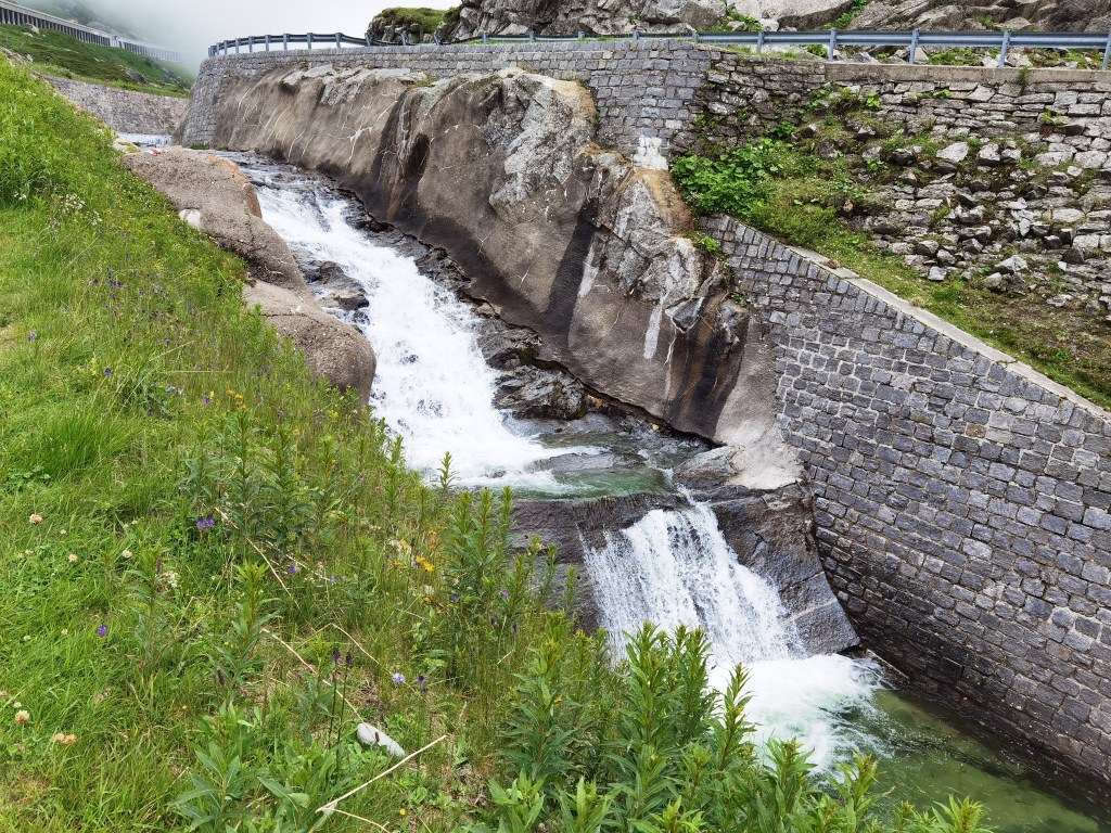
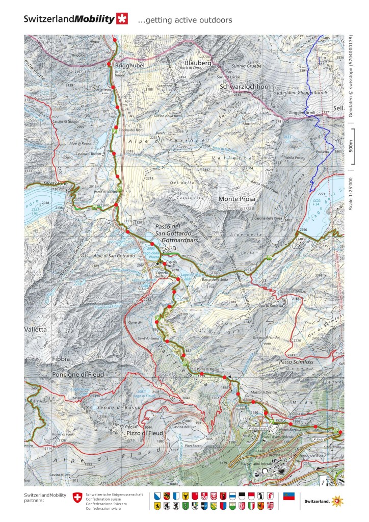
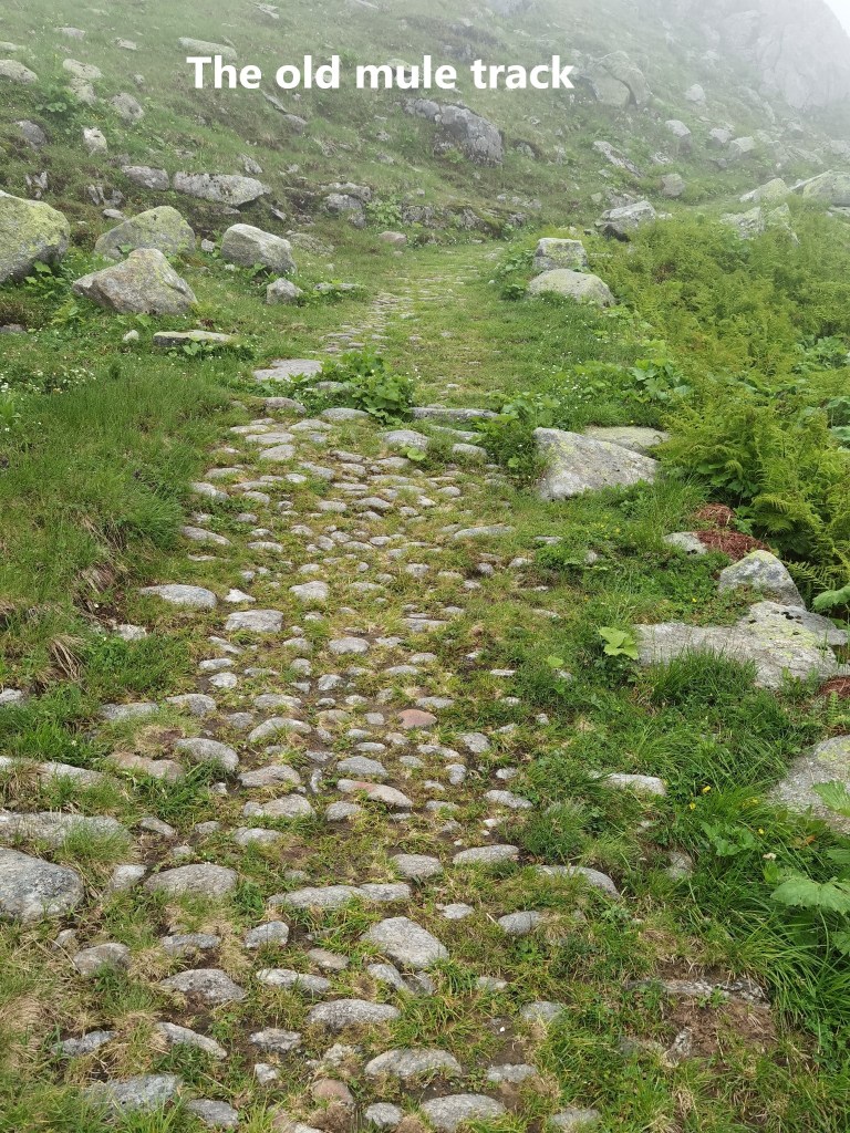
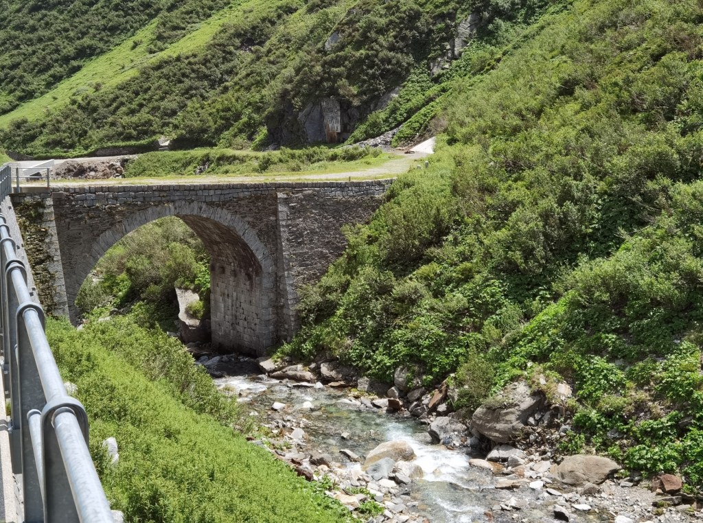
The river was smaller now, but it still has plenty of white water cascades. I was up into the mist now, with visibility down to about two hundred metres. The trail follows close to the river. It seemed to follow an old mule track. The first traders to come across the pass would not have had wagons. It would have been pack animals, mules and horses, making their way through the uneven terrain. Somewhere through the years, a stone road was laid down, and that is the trail that I was following. The use of the route for commercial purposes goes back to the thirteenth century when the first wooden bridge was built across the Reuss at Andermatt. It seems like traffic has been increasing for eight hundred years since then.
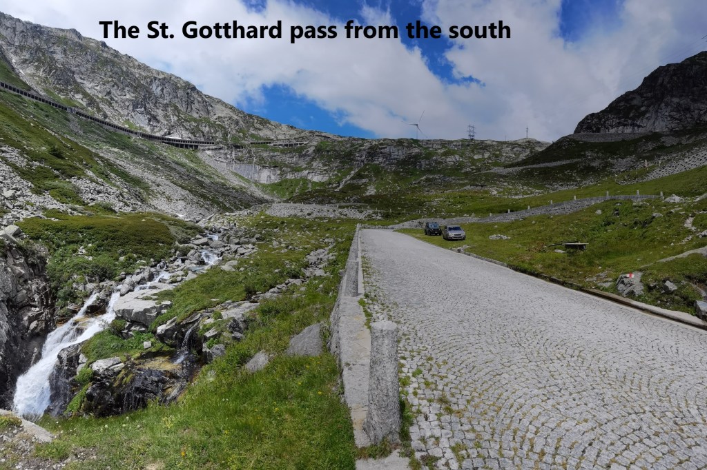
The route is not especially steep, but ascends gradually. The old mule track rejoins the modern road close to reach the St. Gotthard Pass itself. This was the only way over the pass for vehicles until the construction of the current road tunnel in the 1980s. Approaching the pass from the north, I was still in mist, but with occasional glimpses of blue sky to the south. For centuries, the pass had a military importance too, and there are abandoned fortifications as testimony to its past.
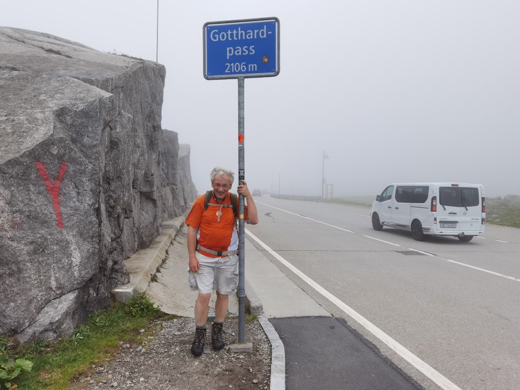

The pass itself is in Ticino canton, also known as Tessin. I started out on the trail back in January with greetings of “Bonjour” to my fellow walkers. Then it was “Gruetzi” as I went through the German-speaking cantons. But from here on, in Italian-speaking Ticino, it would be “Buongiorno”. Such is the variety and harmony of Switzerland.
Today, very few people would use the road over the pass to get from Uri, but there are plenty of tourists. And where there are tourists, there are people willing to relieve them of a few Francs in exchange for souvenirs.
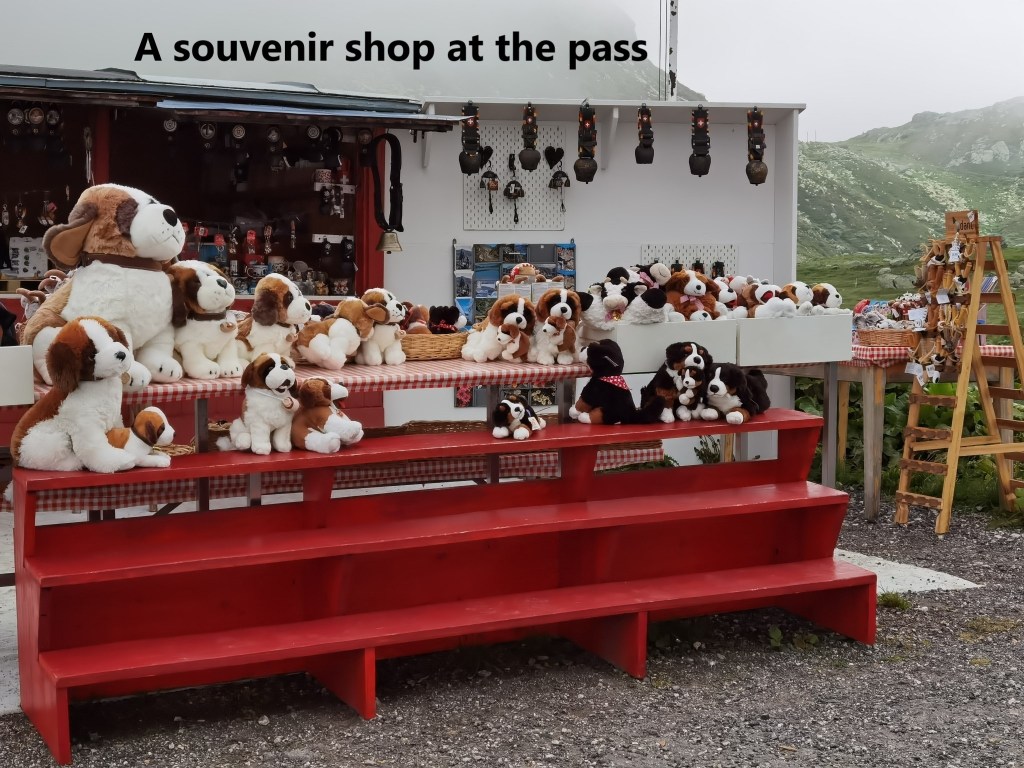
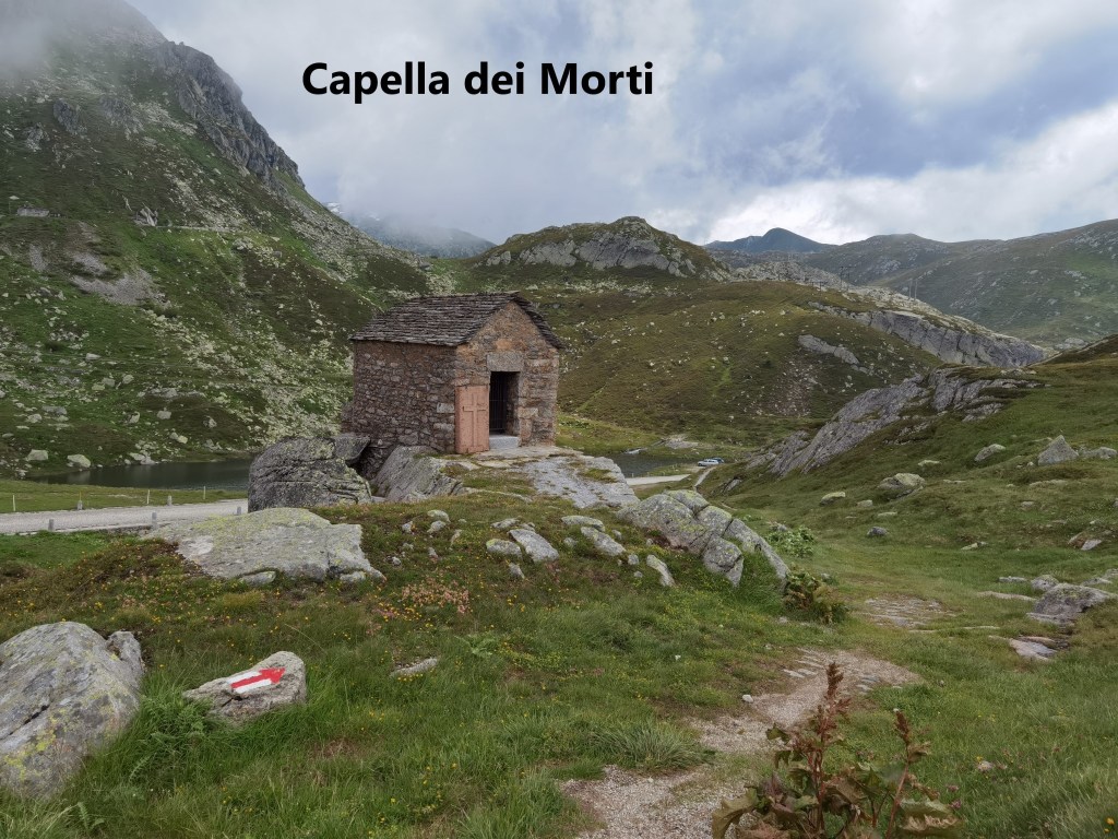
I stayed at the pass just long enough for some refreshments from one of the stalls there, and then I was on my way again. Initially, the route descends slowly to the Capella dei Morti. This small stone chapel houses a plaque honouring the dead from the battles at the pass in 1799. Nothing else. It’s sparse interior and small size seems fitting for those events.
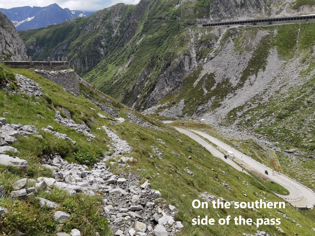
After that, the descent is steeper. The road goes through numerous switchbacks on the way down, but the trail is more direct. I was in sunshine now. The pass and the mountains either side seem to form a boundary between the clear skies to the south and the misty weather to the north. I passed several cyclists working their way up the road, going slowly up the hill and through the switchbacks.
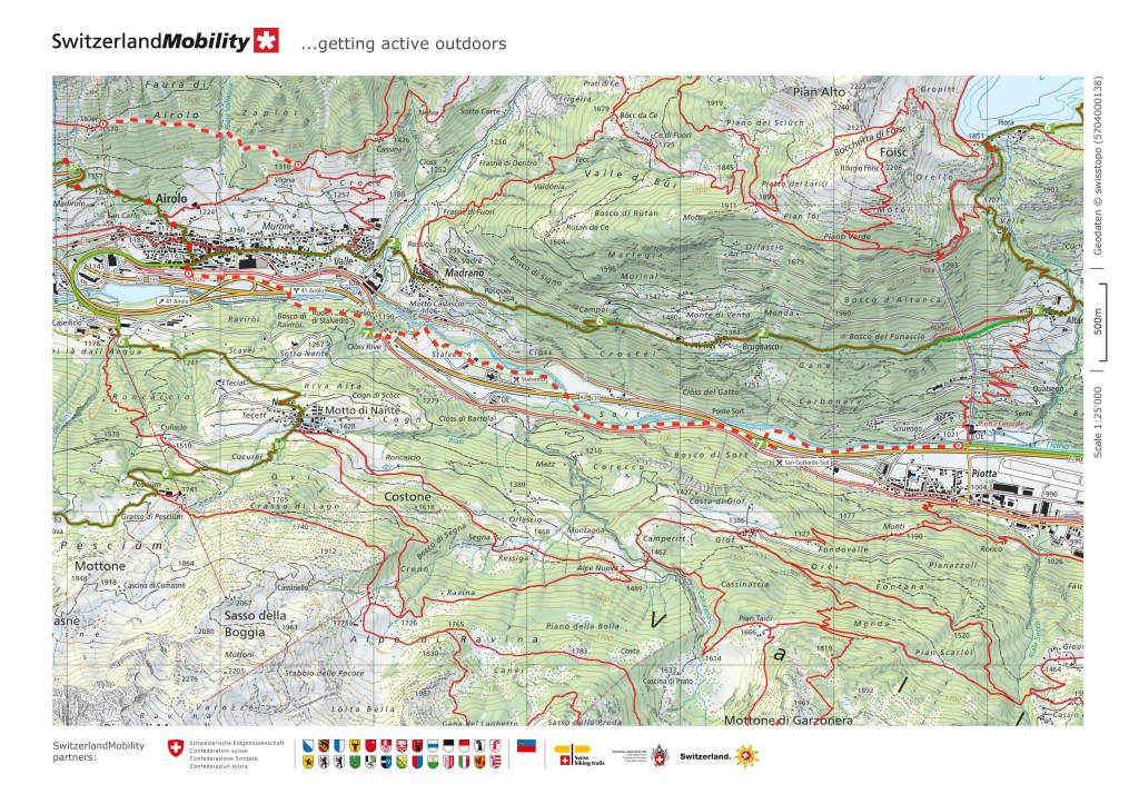
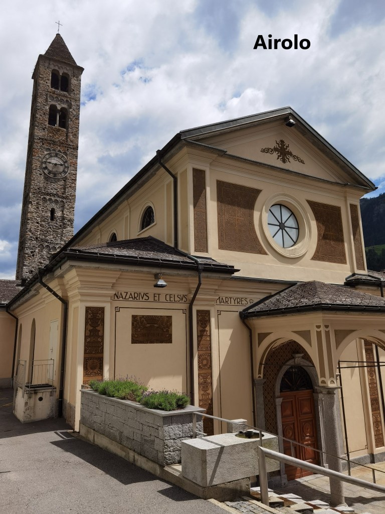
After a while the route levels out. The wilderness of the upper slopes gives was to pastures and woodland. There are buildings: houses and industrial units. And so I made my way to Airolo. The train back to Basel goes straight into the tunnel, emerging at Göschenen. It was still misty on the northern side of the valley at Göschenen, but at least I had the chance to enjoy sunshine for part of my walk.
There is still some distance to go on the route, but from here onwards, it is all in Ticino canton. And the next stages are downhill.
Finally, my step count for the day was 36,792.