
In the years that I have been in Switzerland, I have walked many trails and hiked over a substantial part of that country. But even though I live just a couple of kilometres from the German border, my hiking activities have only once crossed that border, when I was hiking the perimeter of Basel and Basel Landschaft. And even then, I only went as far as Lörrach. I had never ventured into the Schwarzwald, or Black Forest as some readers may know it. I determined that this year, I would change that and do some hiking in the Schwarzwald in 2025.
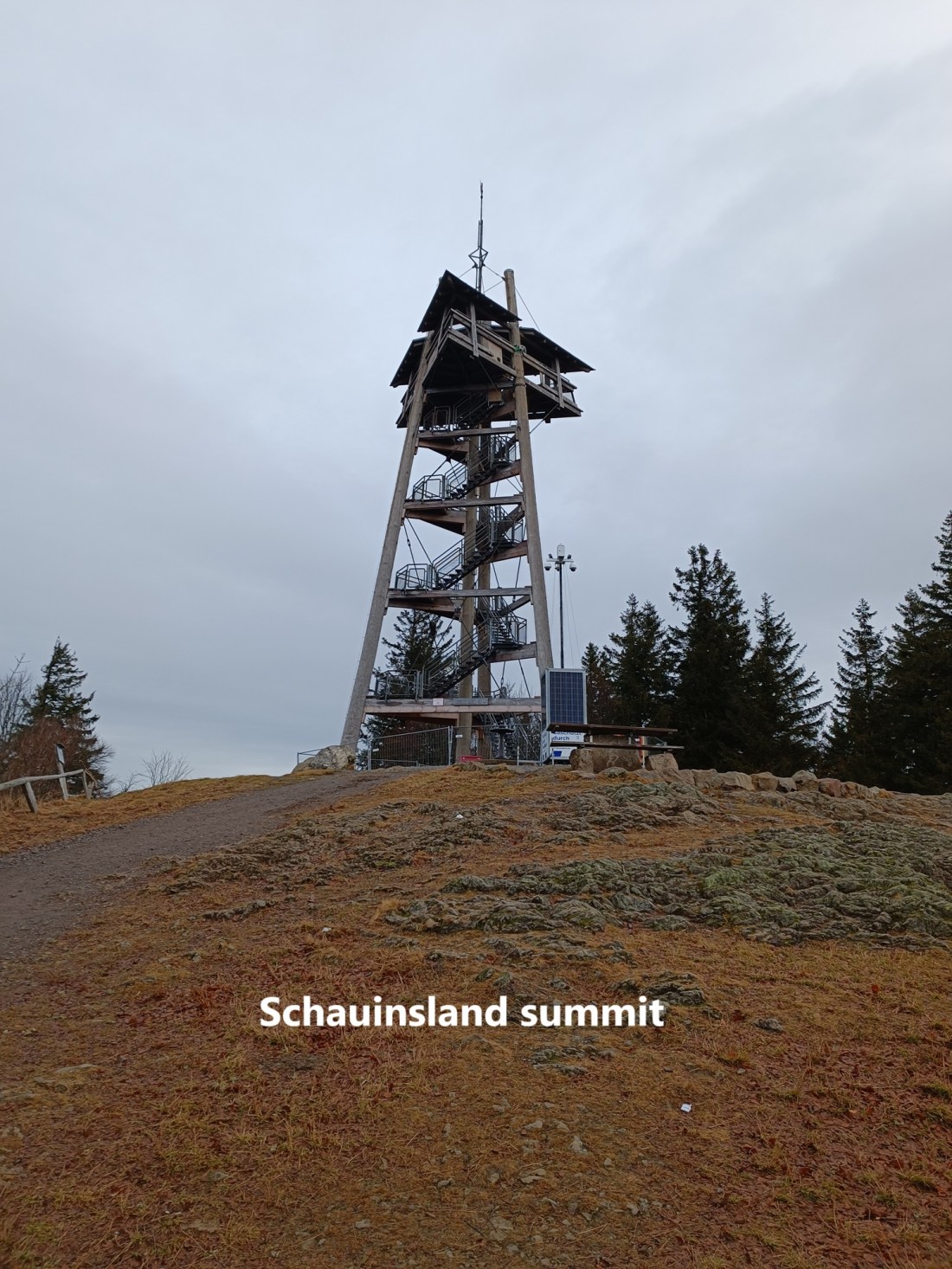
But where should I go? After studying the maps and reading a few guidebooks, I reckoned that it should be possible to hike from the summit of Schauinsland to the summit of Belchen. Schauinsland is not especially high. At 1284m, it is the fifteenth highest peak in the Schwarzwald. Belchen is higher. At 1414m, it is the third highest peak of the range.
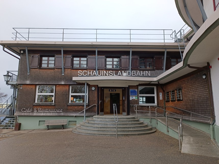
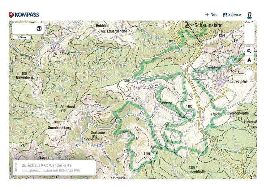
But how to get to Schauinsland? There is a Bergstation near the summit, but that would seem like cheating. So I used a combination of trains and a bus to get to the tiny village Hofsgrund, and I started walking from there. The bus stop was at about 1065m, so I had just 200m and a short distance to get to Schuinsland.
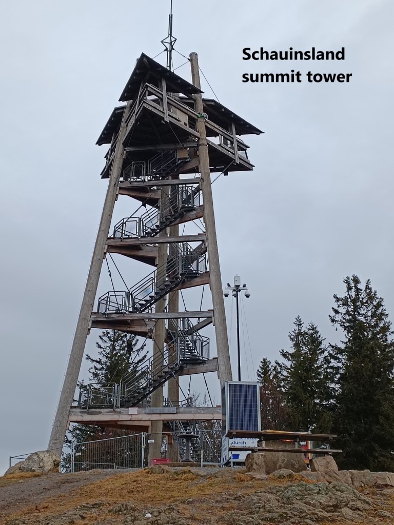
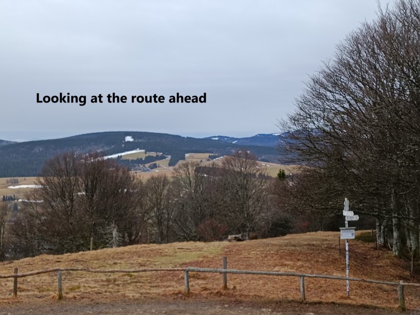
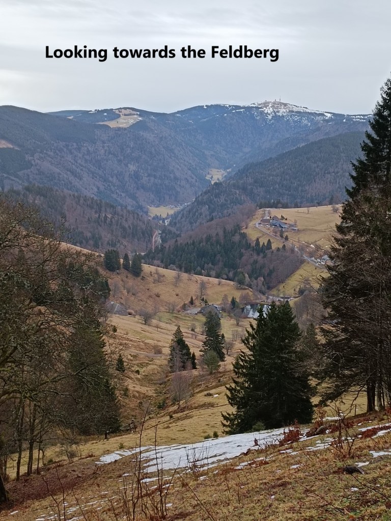
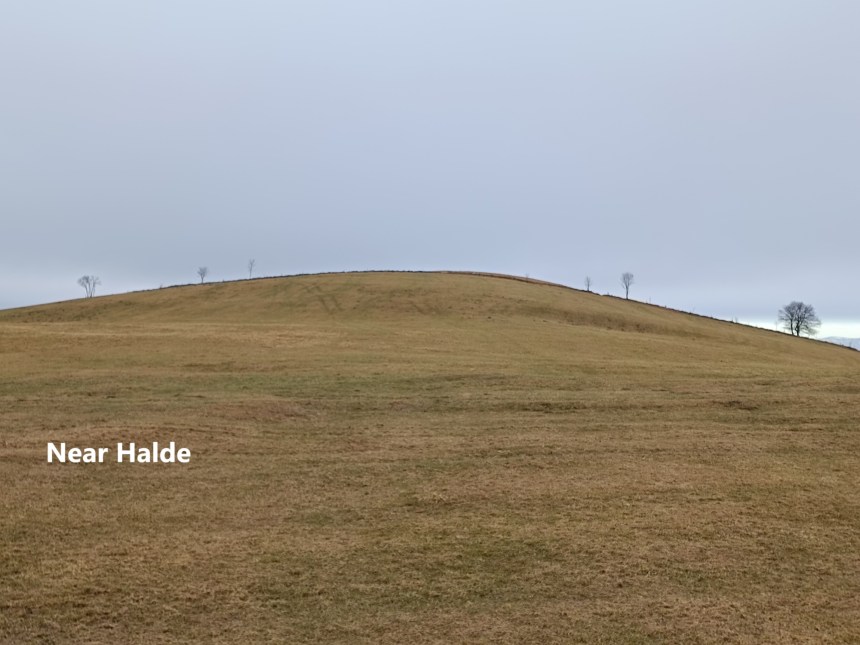
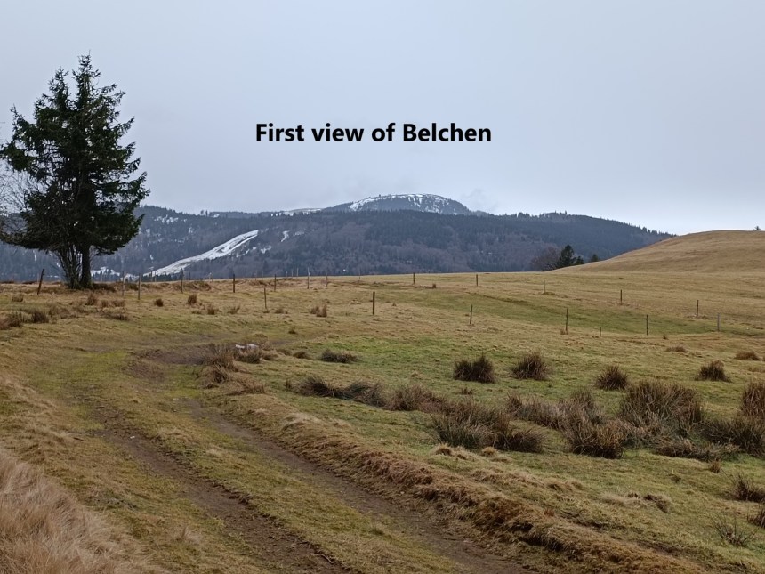
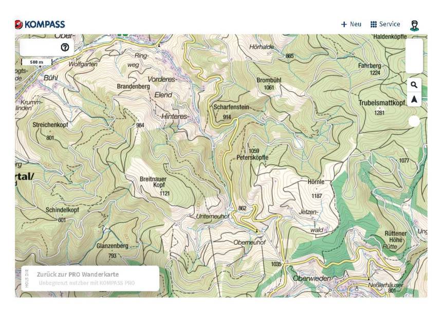
From the tower, I could see the route stretching out to the south. It was fairly flat at first, following the road as far as Halde. Along the way, there were views of the Feldberg, the highest summit in the Schwarzwald. At Halde, I left the track that was close to the road and took to a forest track. That brought me around and past, but not over Haldenköpfle, Fahrberg, and Trubelsmattkopf, before crossing the ridge and descending towards Jetzenwald. As I came out of the forest, I had my first view of my destination, Belchen, up ahead. From Jetzenwald, my route contours around an unnamed hill to reach the Berg Hotel at Oberwieden, where I stopped for some refreshment.

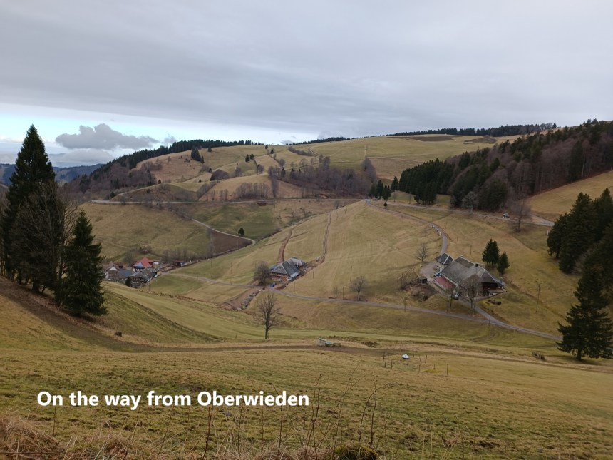
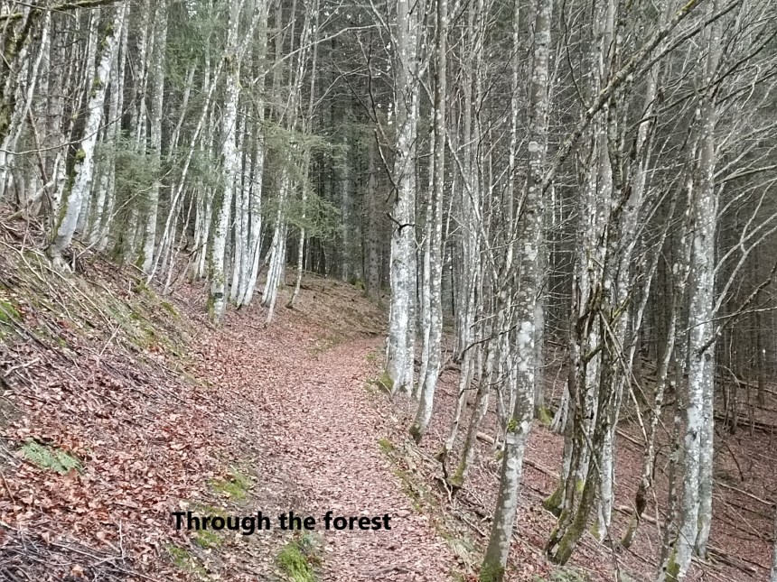
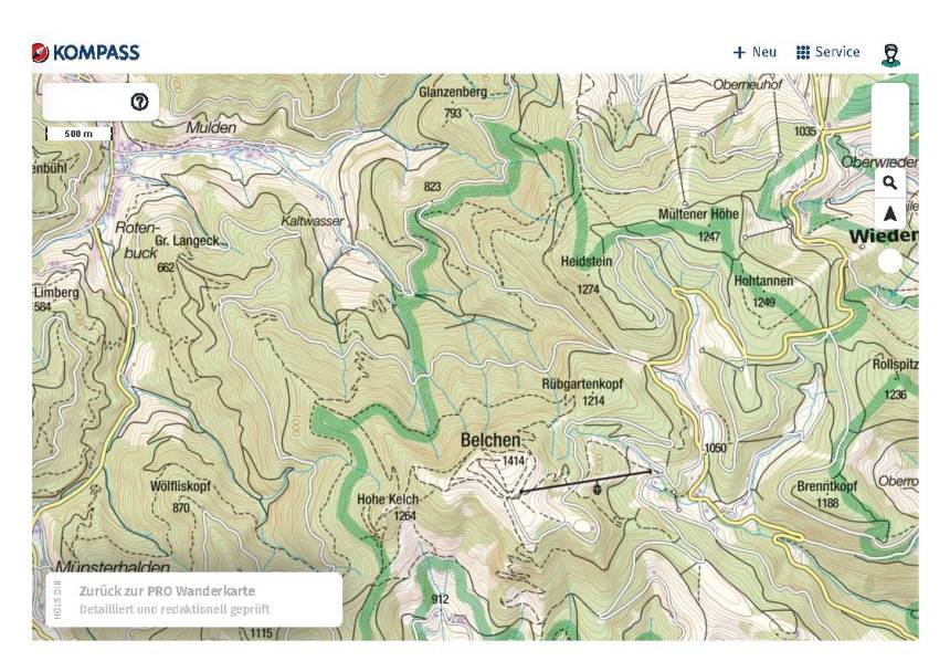
After Oberwieden, the route heads west, initially following a broad forest track, but after a short distance, a narrower track heads up into the forest, giving a shorter distance than just sticking to forest track. I came back onto the forest track higher up, and shortly after that, I made a navigational error. I wanted to take a trail heading diagonally from the forest track, but I took the wrong one. By the time I realised my mistake, there was no point in going back. I worked out where I was and adjusted my route. It was not a huge error, and I reckoned I would still make it. I should have been close to Heidstein, but instead, I was close to Mültener Höhe. I came down to the road and followed it for a short distance to Krinne.
From there, my route took me back into the forest and then onto the road leading to the upper station of the cable car system on Belchen. By the time I reached the 1200m level, the road was snow covered. I continued on, and where the road turns south, and narrow path goes straight on. I followed that and came back onto the route that I should have been on if I had not made the navigation error. I was in snow all the way from there, and as the trail got steeper, I took out the snowshoes to go on up through the forest. However, soon after I came out of the forest near the summit, the snow was almost gone, with just patches remaining. I took off the snowshoes again. I wonder if that will be their last outing this winter.
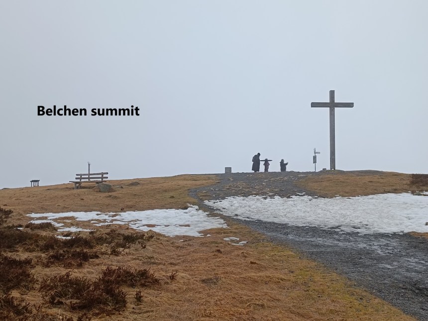
The summit of Belchen was in mist when I got there. There were several tourists who had taken the cable car, but several hikers too. There is a panorama table on the summit, to tell me which places I should have been able to see from there, but with the mist, it was impossible to see very much.
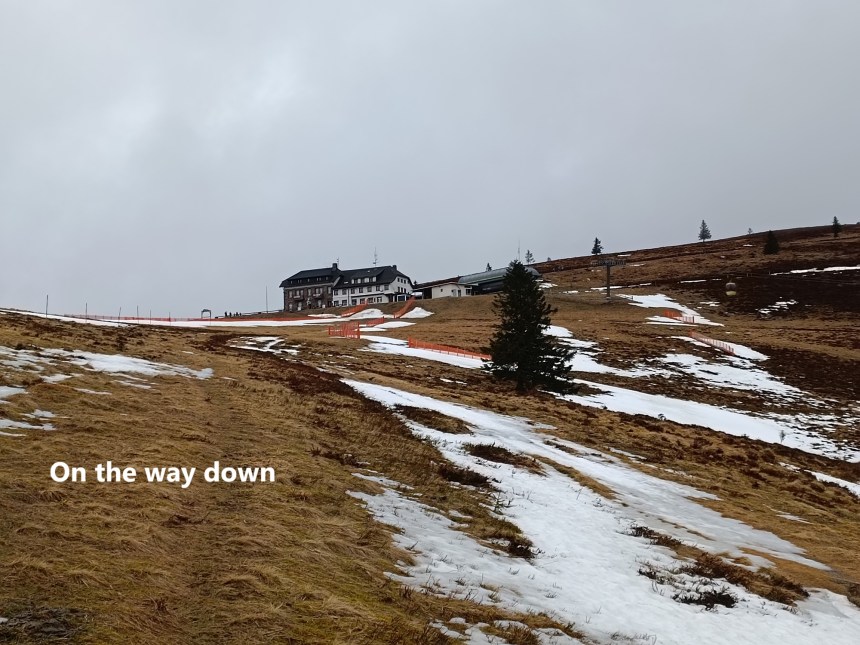
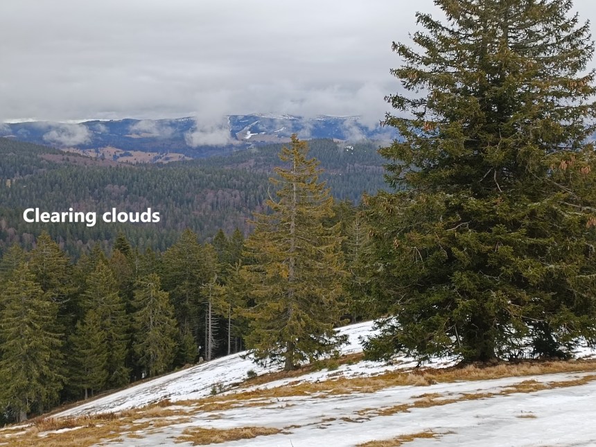
From Belchen, I made my way by the tourist track down as far as the cable car station. Then I took to the hiking trail again for the rest of the way down. As I went, the mist was clearing from the mountains around, though the day could by no means be described as sunny. I went on down, passing the lower cable car station to reach the road to Schönau. There was a bus stop at the road junction, and I was in nice time for the bus, first to Schönau, then to Zell, where I could get the train back to Basel.
My total step count for the day was 41842.

Beautiful pictures..Great effort
LikeLike