After my journey to Tavannes in late May, it took a while before I was able to get back on the trail. Sometimes life intervenes to interrupt our plans, and that is what happened. Other activities kept me busy through the rest of May and all of June, so that it was mid-July before I was back on the Via Jura.
As with the journey from Moutier to Tavannes, I had been this way before, back in 2019. But time dulls the memory, and after five years, I could only remember vague details of the route, so I was happy to refresh those memories again.
I got back to Tavannes on a sunny morning, and wasted no time in getting onto the trail and out of town.
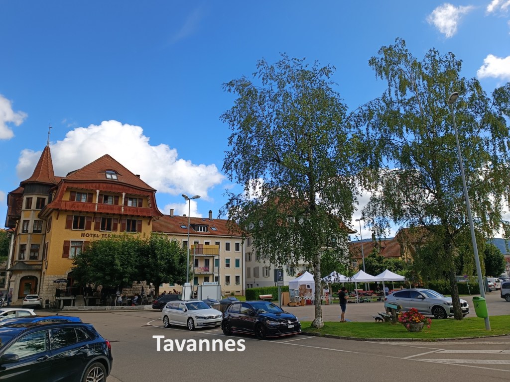
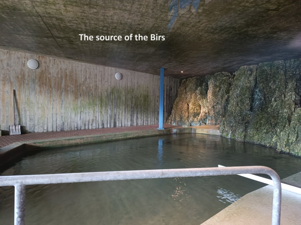
Just on the edge of town, as the trail ascends towards the countryside, is the Source de la Birse, the source of the Birs, that river that I have been following on this trail since leaving Basel. The source is fully enclosed in a building, which happened to be locked when I arrived. But through the glass, I could see the pool that is the source of this river, four days of walking from where it ours its water into the Rhein.
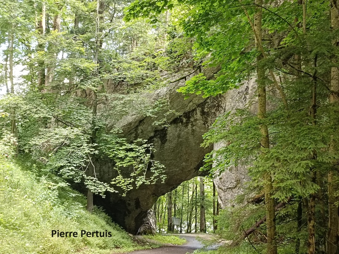
I went on, going up through the woods, and it was not long before I came to the Pierre Pertuis. This tunnel in the rock was formed naturally but was widened in Roman times to form the road linking the Helvetic plain with more northerly provinces as far away as Gaul. The province of Vindonissa lay to the north, covering what is now the Basel and Aargau region. Aventicum was to the south, and the Pierre Pertuis was effectively the boundary between the two. The name comes from the Latin: petra pertusa, or broken rock. Archaeologists have confirmed that the Roman road was built sometime in the later part of the first century. A plaque at the side of the small tunnel proclaims that it was built by Marcus Dunius Paternus, who was the duumvir of Aventicum.
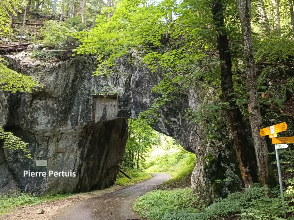
The route through the Pierre Pertuis was the primary route for local transport south from Tavannes up until 1997 when the motorway was completed, but when I passed, there was barely any traffic on the road.
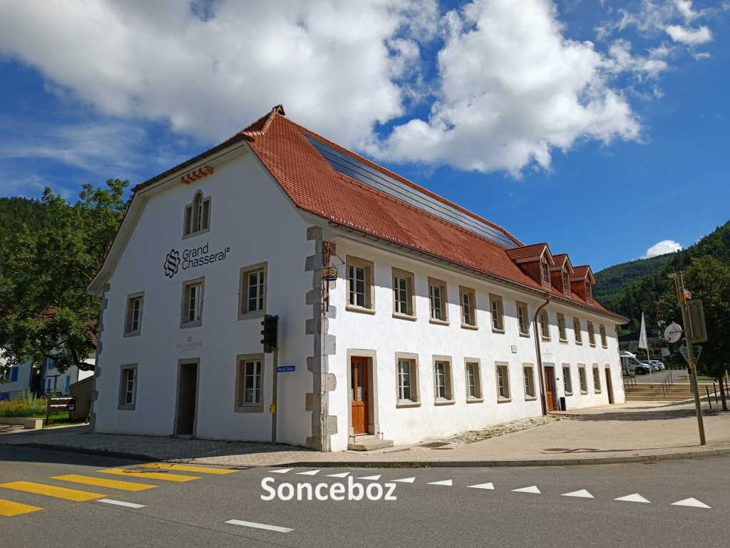
After going over the col, it was a long descent through the woods to Sonceboz. I met people out walking their dogs along the way, and we exchanged a cheery greeting as we passed. I went on through Sonceboz without stopping. That village is effectively joined to the adjacent village of Sombeval, to the point that they share a railway station that carries both names. The trail goes on into Sombeval, before doubling back. However, there is a short cut at the edge of Sombeval, and I took it, brining me back out into the countryside.
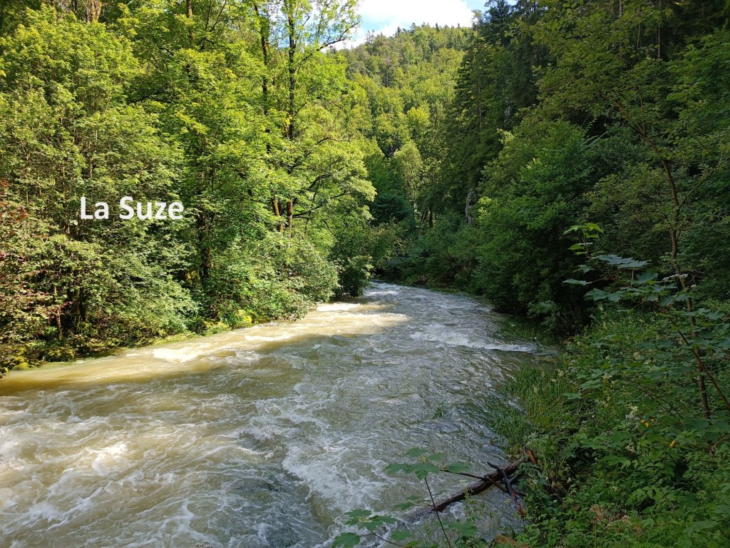
I was following a different river now: La Suze. The valley forces it into a narrow channel, fast flowing, and tumbling over small cascades where it has been harnessed for power. I emerged into open fields at the Métairie de Nidau. I met another walker coming the other way, and we stopped and chatted. It turned out that he was an immigrant to Switzerland, like myself, but from Denmark. His German and my French were both limited, but we managed to converse. He advised me on the route, and we each went each on our way.
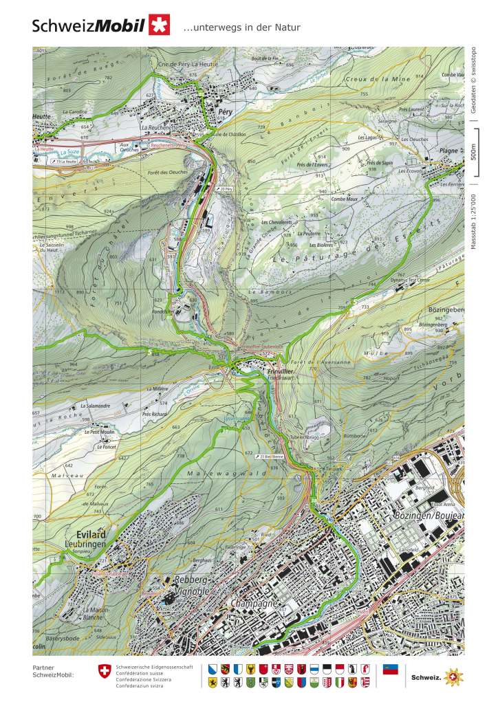
Not very far after the Métairie de Nidau, the official trail descends towards La Heutte. There was a signpost telling me that if I continued on the path I was on, I would come to some Dinosaur footprints. When I looked at the map, it looked like I could continue on, reaching the cement factory in Péry.


This plan almost worked. I continued on the track, past the dinosaur footprints, and onto the small road. But when I came to the end of that road, instead of a public track, it was private. There was a foot track between the fence and the river, so I took that. When I reached the bridge for the rail spur going into the cement factory, there was a pedestrian way across the bridge. That brought me into the railway station of Reuchenette-Péry, but on the wrong side of the tracks. There were signs not to cross the tracks, but I treated these as advisory only, and soon arrived at the station building and the road.
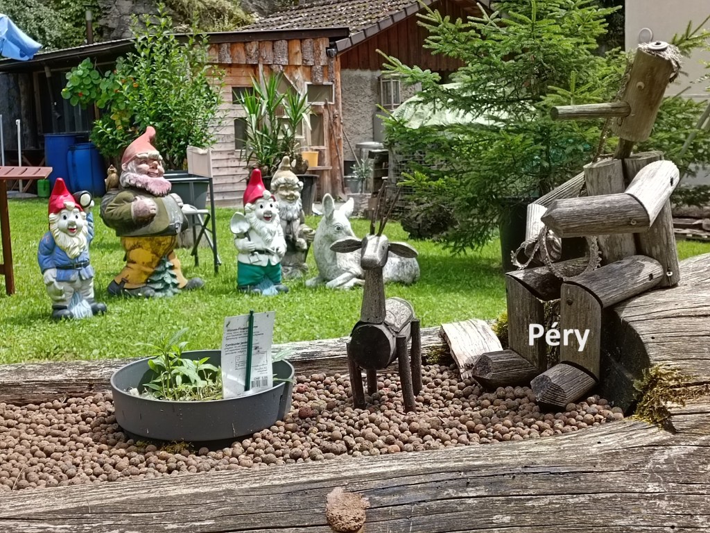
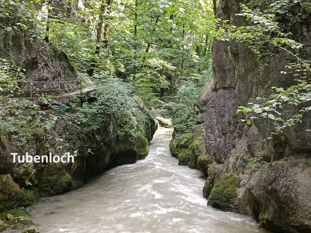
That allowed me to go on through the village of Péry. Strangely, the trail then goes through the cement works. It is strange that a walking trail would do that, but that is how it is. I went on. At Rondchâtel, the physical trail on the map does not match what is on the map, but the route is fairly clear, and I had no difficulty. And then I was into the Tubenloch
The gorge is marked on the map as Tubenloch. It is also called the Taubenloch in a lot of online tourist guides. However, I will follow the name used on the Swiss official map and call it Tubenloch. It is first mentioned in documents from the sixteenth century, though it is certain that the area has been known since Roman times. No one is certain where the name came from, and there are several theories as to its origin. And with the entry into the Tubenloch, I was once again coming into the German speaking part of Bern canton.


I continued on down the gorge, eventually arriving at Bözingen, where the power of the water is used to generate electricity. Bözingen is on the edge of Biel, and I continued to follow the river into the town. The river at this point has changed its name from La Suze to Schüss. It is a much gentler river once it passes Bözingen. The trail follows the river right into the centre of the town, where my route then made a slight turn to bring me to the railway station. Then it was time to make my way by train back to Basel. I had completed the Via Jura.
My total step count for the day was 37,608.