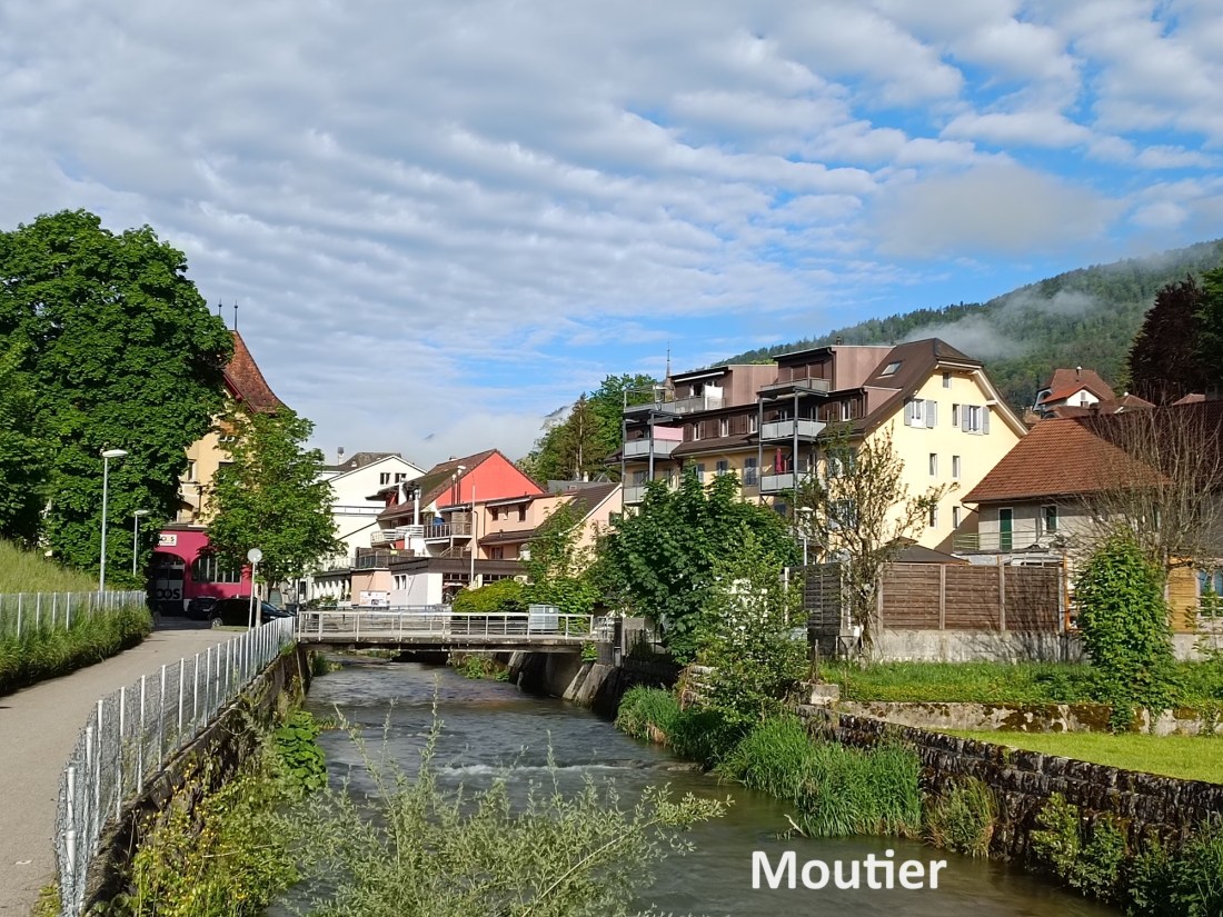
Just a couple of weeks after reaching Moutier on the Via Jura, I was back there on an early morning in late May to get back on the trail. I set my target for the day as Tavannes. I had walked from Moutier to Tavannes once before when I was walking the variant of the Jakobsweg that goes from Basel to Moudon, back in 2019 (reference my post “From Moutier to Tavannes” of August 5th, 2019). However, on that occasion, I was following a different route. Route 91, the Chemin du Jura Bernois. But this year, I am studiously following Route 80, the Via Jura. Route 91, at that time, went more or less straight from Moutier to Sornetan, so the journey to Tavannes was quite practical. The Via Jura, on the other hand, wanders all over the countryside, taking much longer to get to Sornetan. But nevertheless, I was resolved to give it a go.
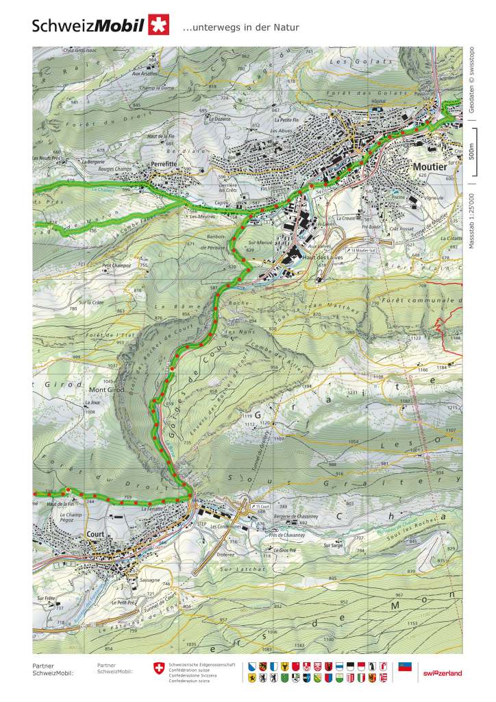
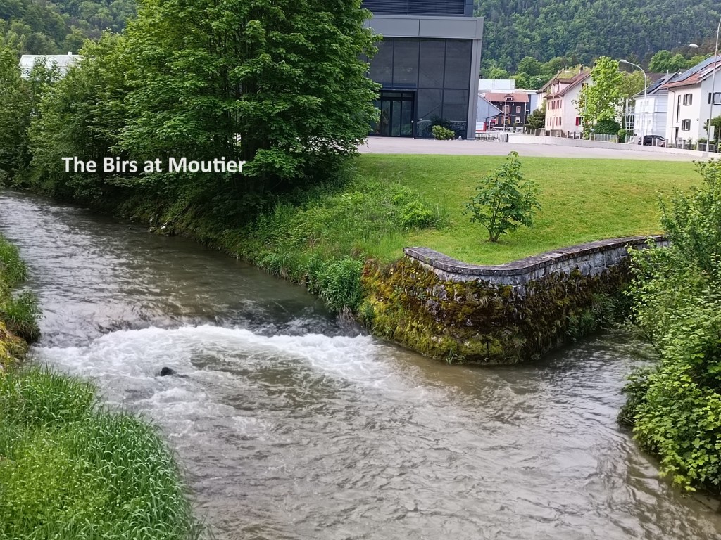
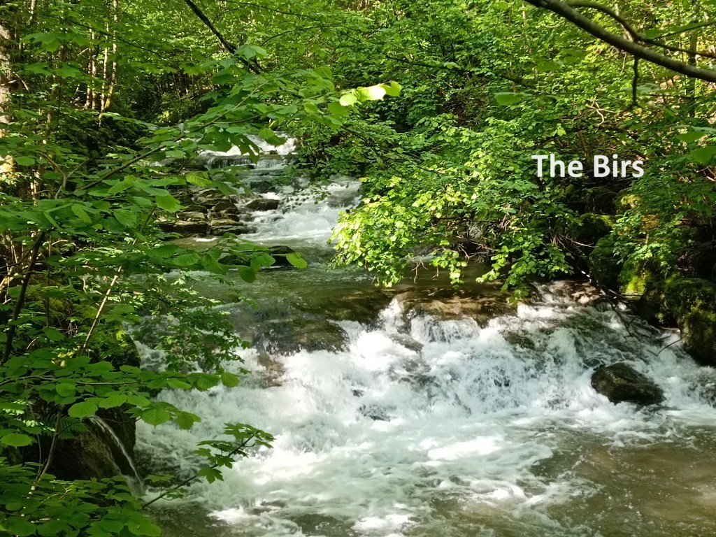
Moutier is on the Birs. I was still following that river upstream, though the trail deviates from the course of the river as it leaves Moutier. It goes around the west side of a little hill before coming back to the road again just before the Gorges du Court. The trail runs beside the road through the gorge. It is more a steep sided valley than a real gorge. The guide had listed it as something really special, but I was a little disappointed with it.

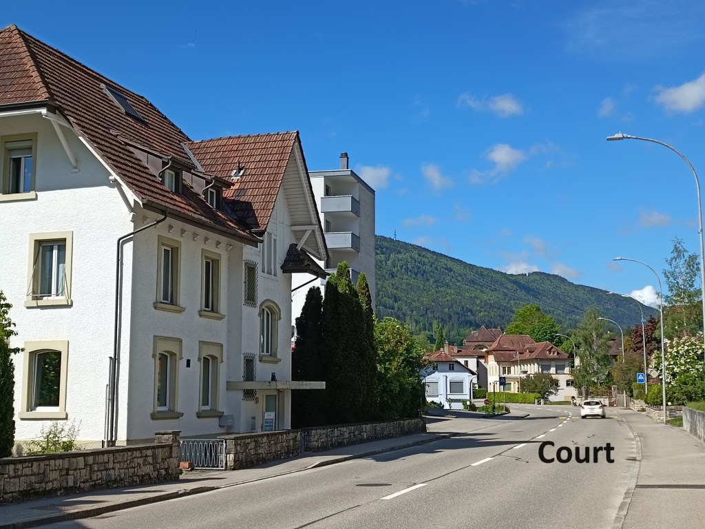
And then I arrived in Court itself. The trail just touches the edge of the village before changing course along the northern side of it. I was hoping to find a shop with some refreshments, so I went on into the village. I was disappointed on that score too, with nothing open, so I turned north to rejoin the trail.
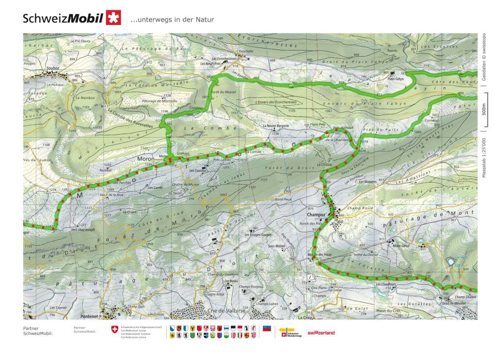
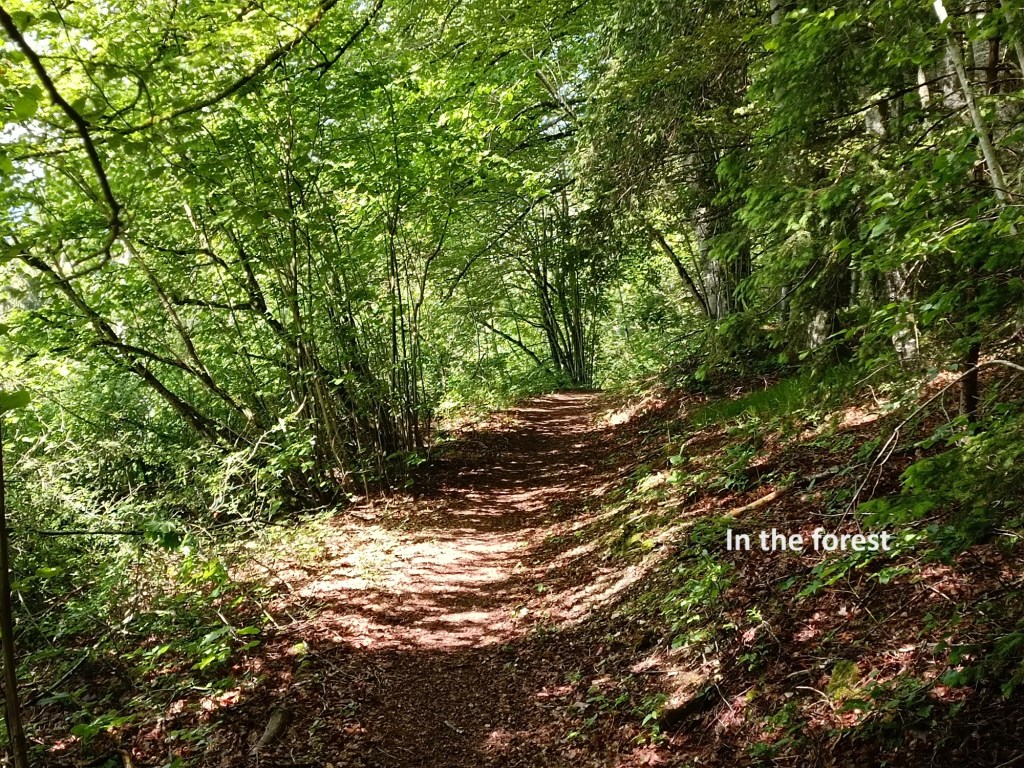
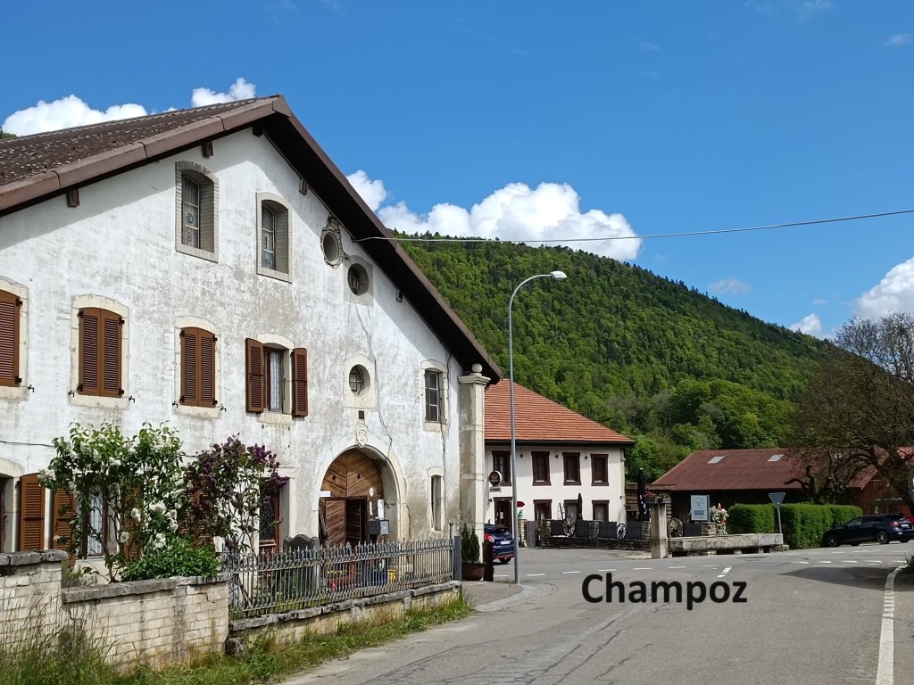
I followed along the edge of the forest, coming into open fields at the Moulin des Pécas. There is a campsite and some kind of activity centre there, and a group of young scouts were busy there. I didn’t stop but went on through those open fields to reach Champoz. The route had been steadily going uphill since Court, and it got steeper after Champoz, going through the forest to reach Prés du Haut de la Charriére.


After that, the route continues to ascend, but more gradually. I continued on to Moron. There are two places on this route called Moron, and while this one gets bigger letters on the map, it is actually the smaller of the two. There is an establishment there that I am not sure is it a Berghaus, a hotel, or whatever. But the important thing was that I could stop for a rest and enjoy a refreshing beer.
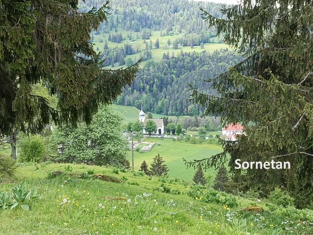
The route seemed to take forever to reach Sornetan, though at least it was all downhill. I could have taken a shortcut at the Montagne de Saules. There is a recognised track that goes from there to a second place called Moron, but I decided to stay on the official route. Eventually, Sornetan came into view in the valley below.
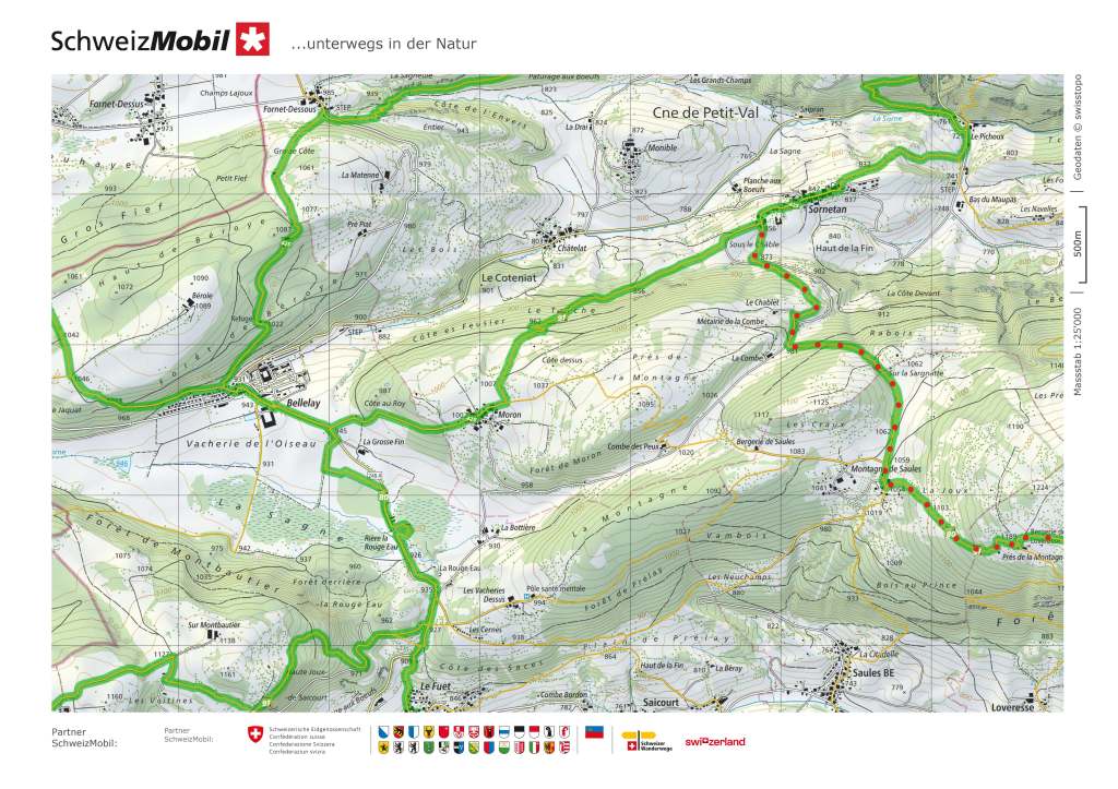
Sornetan marks the end of one of the official stages of the route. However, I have never paid too much attention to the official stages of any route, and my destination for the day was further on. So when I came to the branch in the trail on the western side of Sornetan, I turned left instead of right, thus avoiding the village. I had some doubts about the wisdom of my decision as the trail went back uphill, ascending nearly 150m to reach that settlement of Moron. But I kept on going, and soon I was coming downhill again to reach Bellelay.
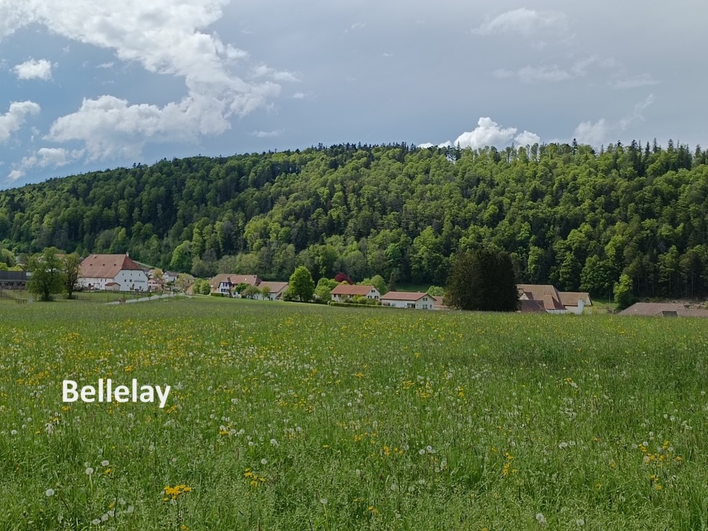

Once again, there is a junction of trails just to the south of Bellelay. There is a monastery in Bellelay, and its former hospital is now a psychiatric clinic. I had visited the monastery when I came this way in 2019. It is no longer functioning as a monastery, having been acquired by the canton of Bern, and is used for civic purposes, such as exhibitions and performances.
I decided therefore, that I would not go into Bellelay, and at the junction, I turned south. The trail goes through boggy ground to the west of the road that links Bellelay to Tavannes, but soon comes back to run beside the road for the rest of the way. I went through Le Fuet without stopping.
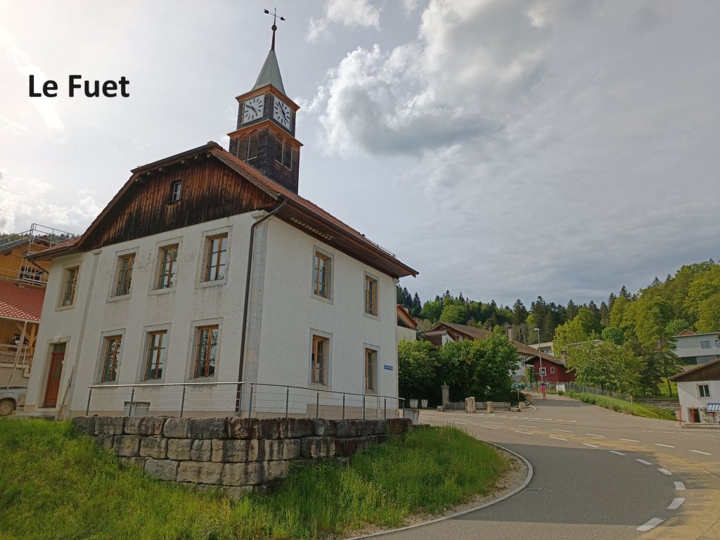
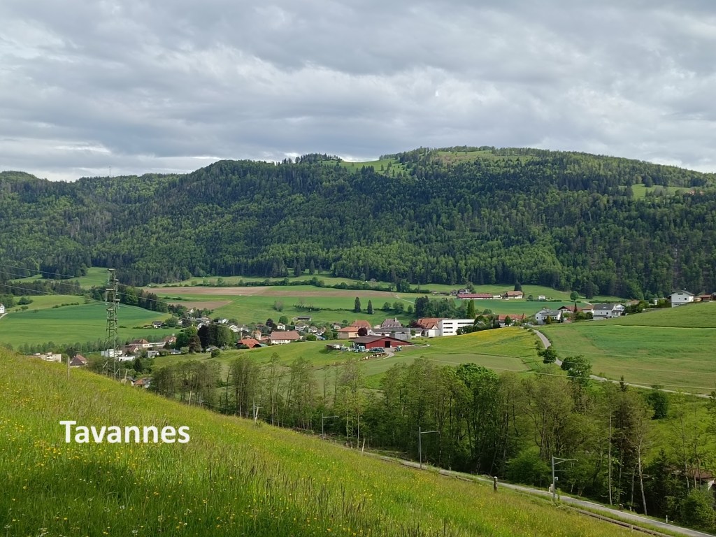

After Le Fuet, the trail goes on downhill through the Forêt de Chalndon, but there was one more small hill before Tavannes. Going over that hill, I had good views of the town ahead. Then there was just that final downhill piece and a walk through the streets of the town to reach the railway station, where I started the journey back to Basel.
My total step count for the day was 58,275.