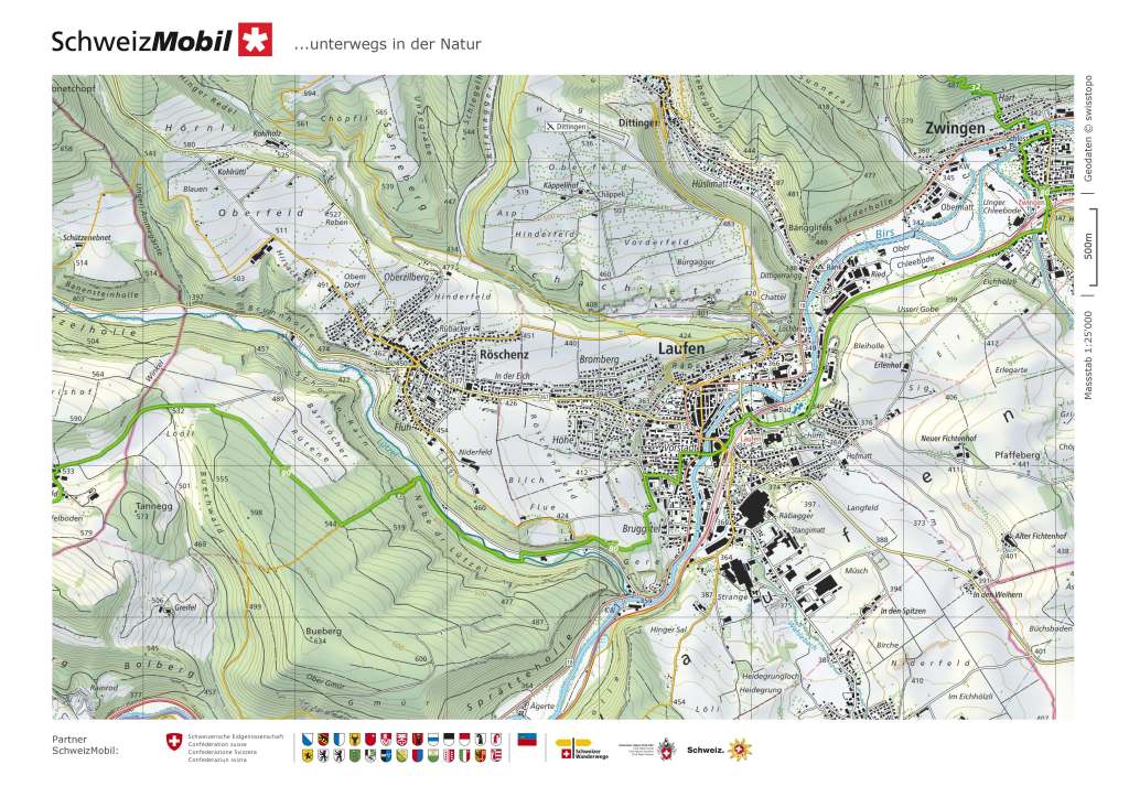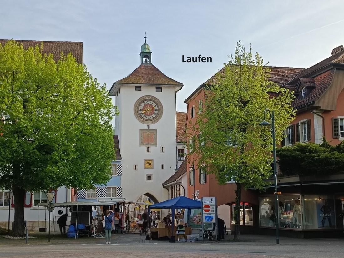
I arrived back in Laufen on a sunny morning at the start of May. Laufen is allowed to have a major fair on that day, and I expected lots of stands with dealers in the centre of the town. In the “before times” of the pre-Covid years, the centre would be thronged with people, even early in the morning. But in these post-Covid years, the May market in Laufen is a much smaller affair and I could wander around the small town at my ease.
As I mentioned in the previous post, Laufen and the district around used to be part of Bern canton. However, with the formation of the Jura canton, the Laufen area became isolated, to the point that Bern no longer wanted it. The people of Laufen did not want to be part of Jura, so the eventual solution after two local referenda was that Laufen became part of Basel-Landschaft.
The history of the town goes back to Roman times. Towards the end of the first millennium, Laufen came under the jurisdiction of the Duke of Burgundy. At the beginning of the second millenium, Burgundy gave the area to the Bishop of Basel. When, eventually, the bishopric declined, the town and the surrounding area eventually came under the administration of Bern.
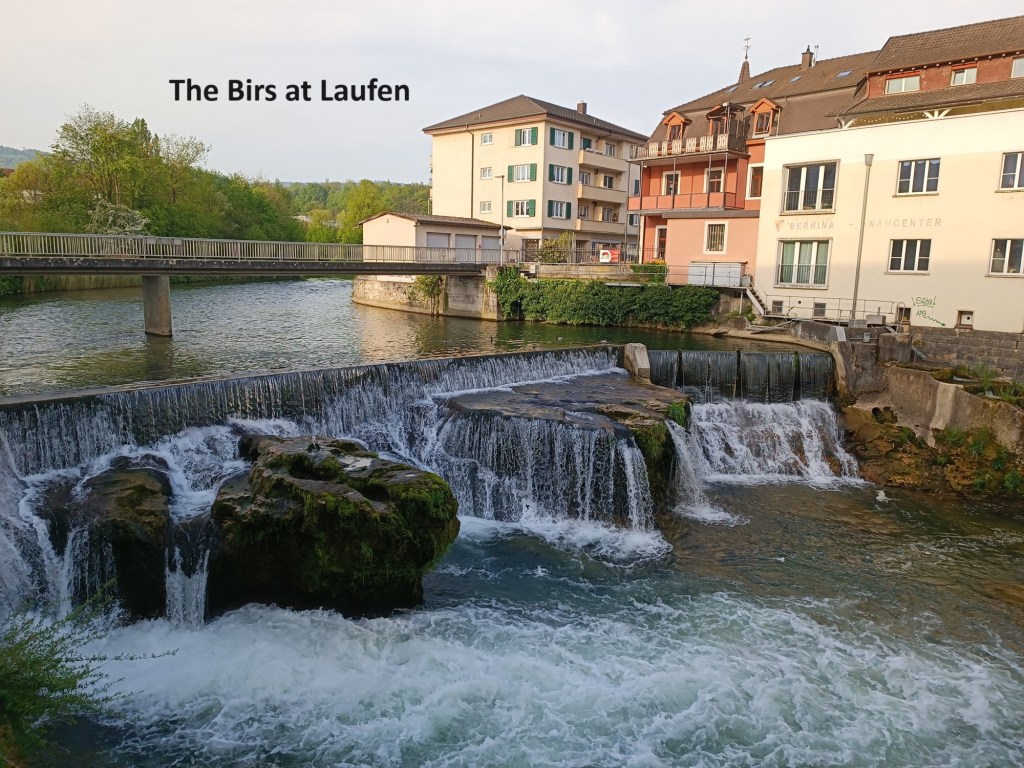
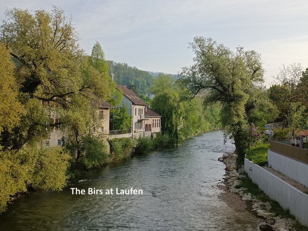
The Birs runs through Laufen, with a fairly significant waterfall in the town. After a brief meander around the town, I crossed over the river near the waterfall and headed out into the countryside.
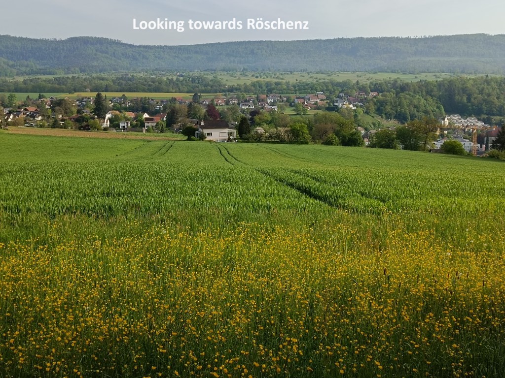
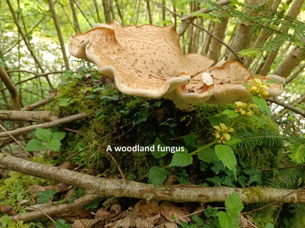
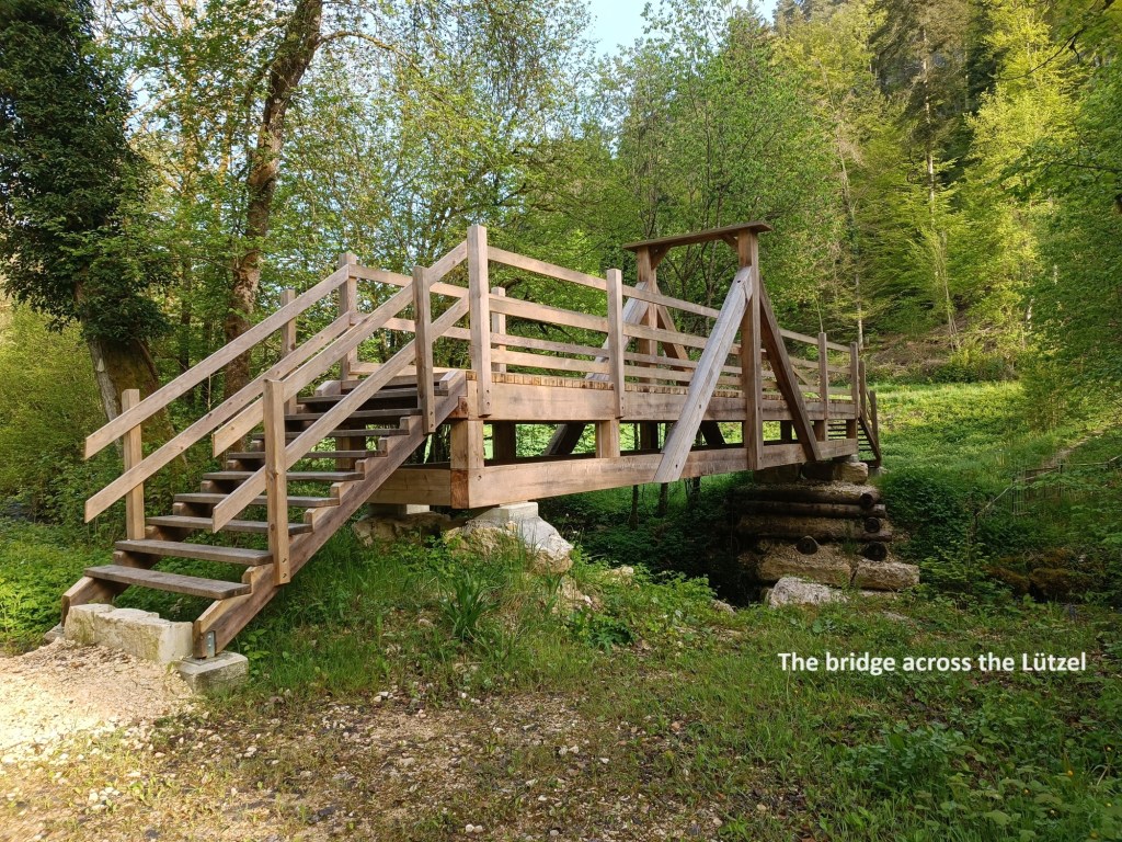
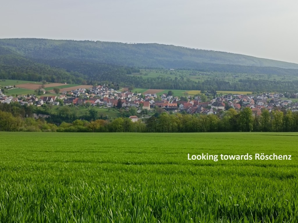
Once out of town, the trail leaves the Birs, and goes up onto higher ground, where there are views back towards Laufen and towards the village of Röschenz. In general, on this stretch, the trail follows a small tributary of the Birs. It is one big enough to have a name: the Lützel. At first, the trail follows through the woods on the left bank of the stream, but crosses over to the right bank on a little wooden bridge. There is then about a kilometre of trail alongside the Lützel before taking a sharp left turn and heading directly uphill through the forest.
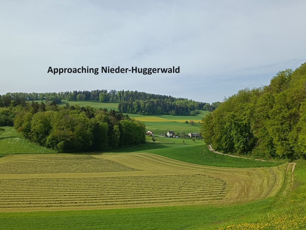
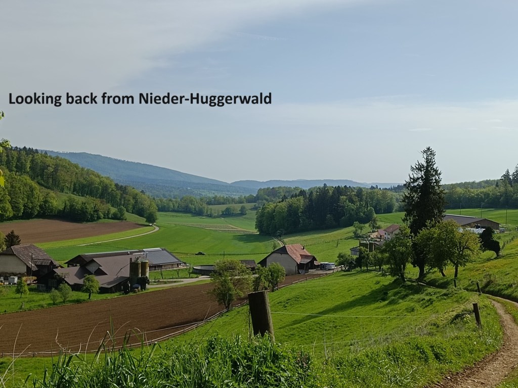
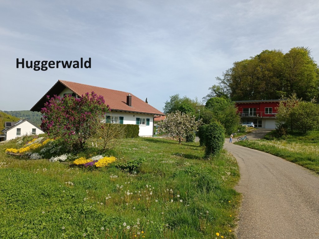
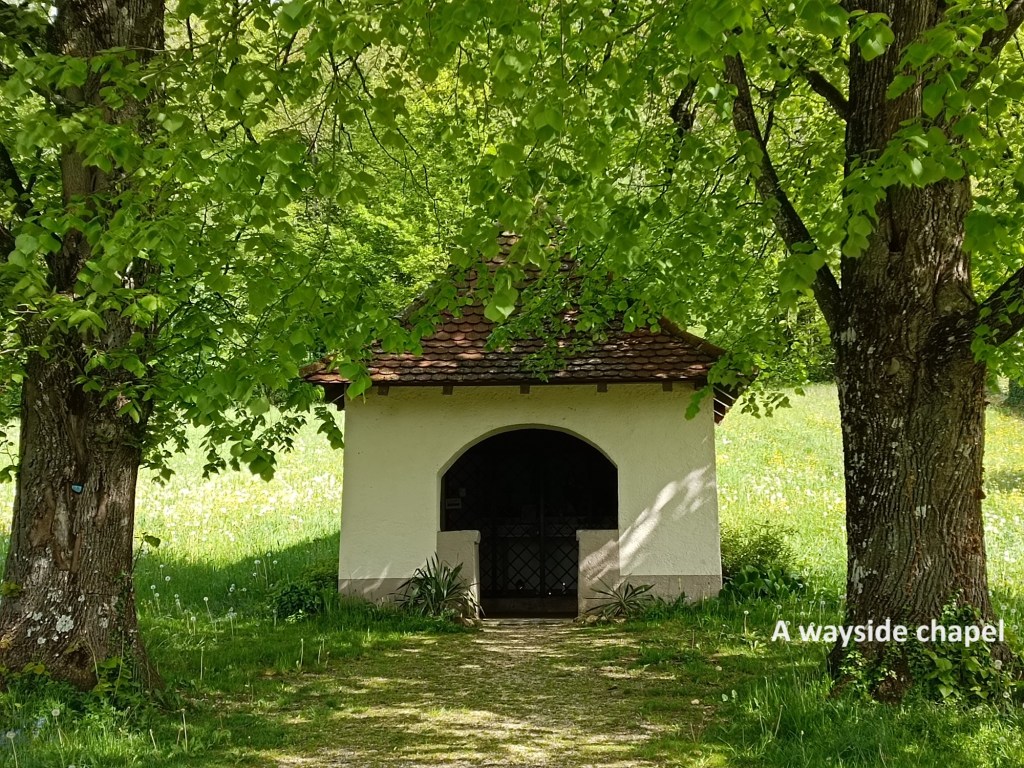
After another sharp turn, this time to the right, the trail emerges into open countryside on the right, with the forest on the left. That soon brought me to Nieder-Huggerwald, where the grass had recently been cut for silage. I went on uphill from there to come to Huggerwald itself. Going on from Huggerwald, I began to have a feeling that somehow, I had been to this area before. But surely not, I thought, and I dismissed the idea. It was only when I came to a little wayside chapel that my feelings were vindicated. I had indeed been pas that chapel before when I was walking the borders of Basel, back in 2018.
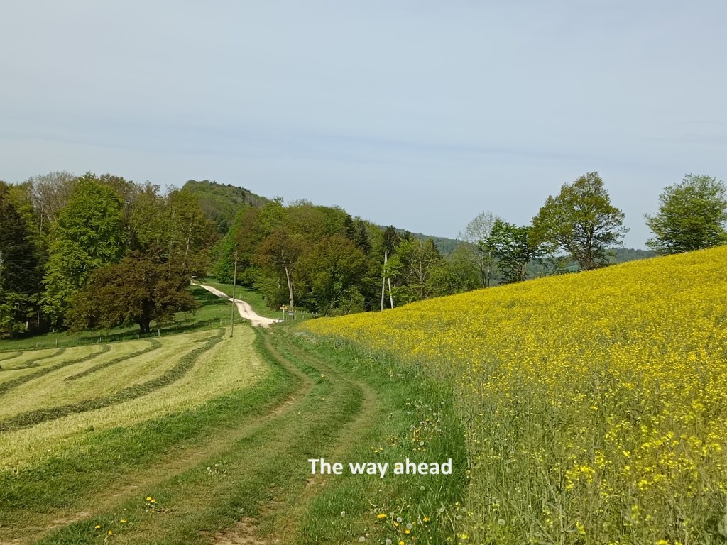
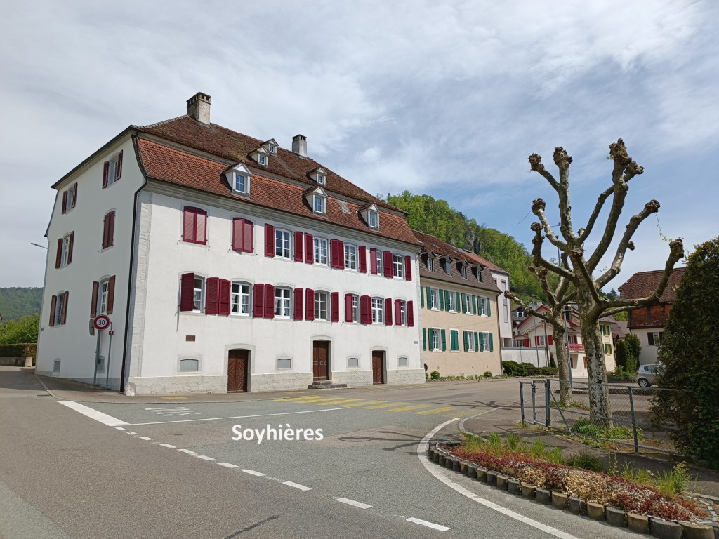
I kept on going westwards, passing La Réselle. When I had been walking the borders of Basel, I turned right there, going over the mountains into Roggenburg. This time, however, I turned south, passing the Réselle de Soyhières, and continuing on downhill to Soyhières itself.
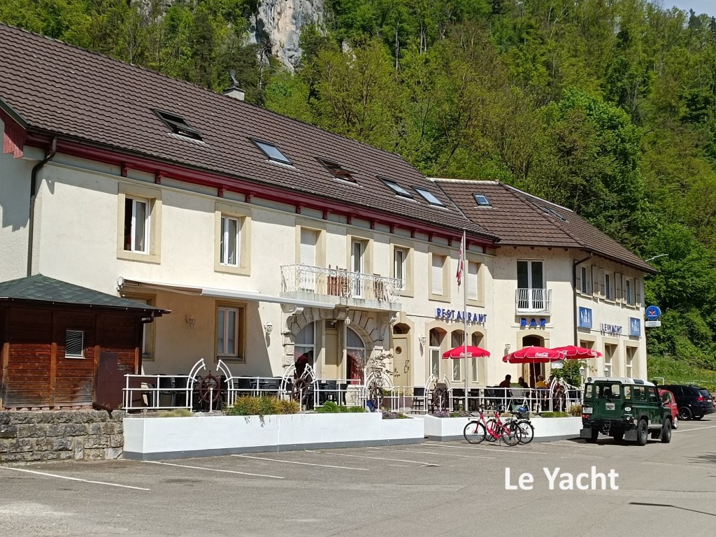
By now, I was thirsty from walking in the sunshine and ready for refreshment. I had reckoned that there would be something in Soyhières, and I was not disappointed. A bar called Le Yacht was open and I was able to enjoy a cold beer. It sometimes seems strange to find nautical themes in landlocked Switzerland, but the bar was decorated more like a marine establishment. The bar itself was shaped like the prow of a ship, with brass porthole decorations, and other adornments to add to the theme.
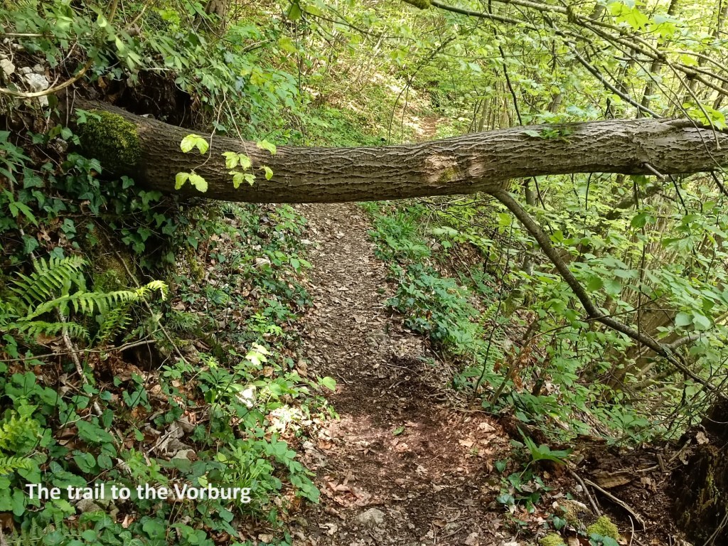
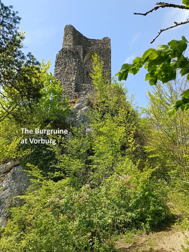
Once refreshed, I went on from Soyhières. The village had brought me back within sight of the Birs, but I left it again to go up the hill to Vorburg. At first the route was through fields, but then went into woods until I came to the Burgruine Vorburg. The ruined castle and the nearby church occupy a commanding position overlooking the valley of the Birs and the pass that links Delémont to Basel. Not much is known about the origins of the castle that once stood there, or the origins of the church just below the castle for that matter. They are thought to haven been built in the eleventh or twelfth centuries. The earthquake that struck Basel in 1356 destroyed both the castle and the church. The church was rebuilt, though the castle was only partially restored. The castle was completely destroyed in the Thirty Years War, and while the ruins are now protected, it was never restored. The church was restored, though it suffered again during the Revolutionary Wars at the end of the eighteenth century, with one of the church bells taken and melted down. Today, the church is a place of Marian pilgrimage.
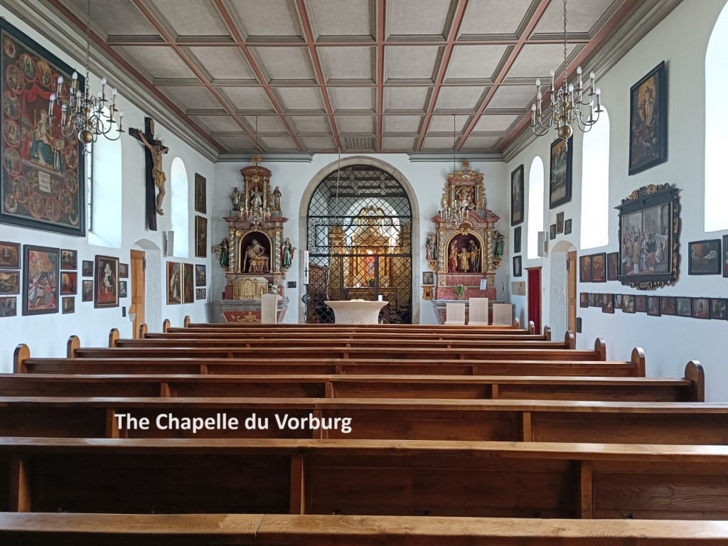
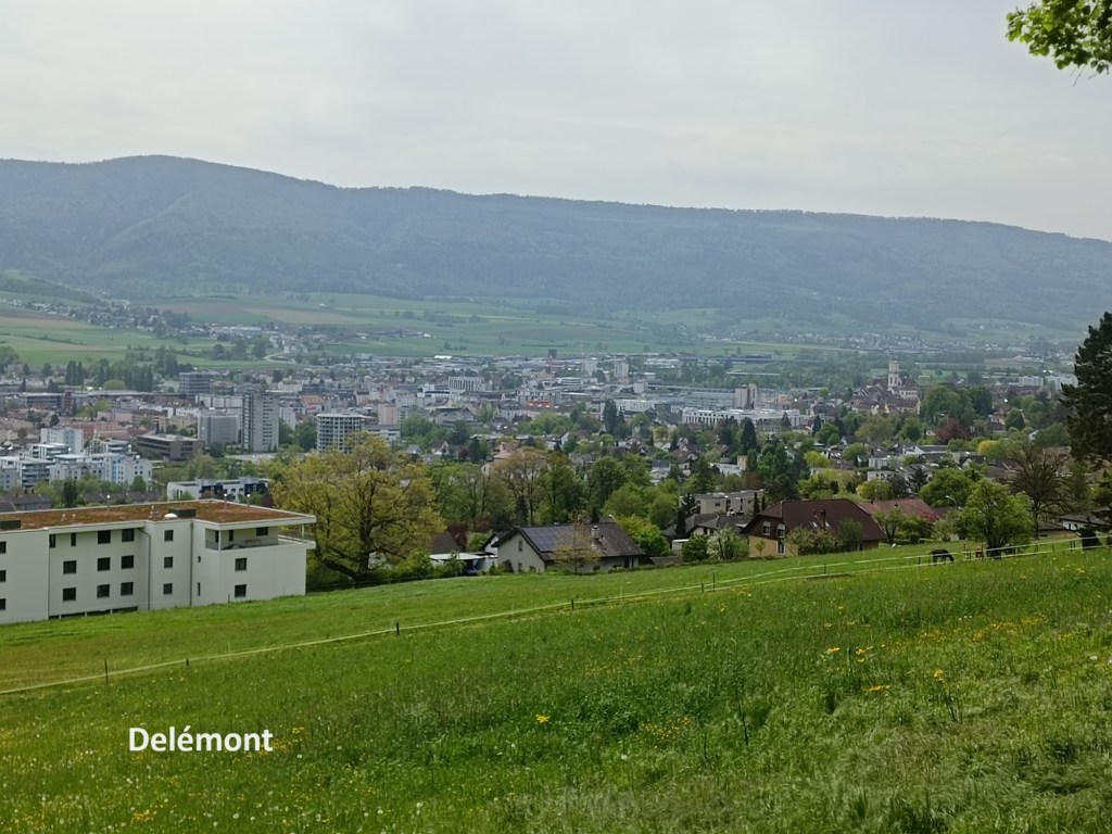
I went first to the ruined castle, and then to the church. After that, all that remained of my walk was the descent towards Delémont and the journey back to Basel.
My total step count for the day was 38,053.