
After I arrived in Crans, work commitments took me away from hiking for a while. That left me running up against my target deadline of completion before the end of the year. When a chance to go back on the trail did come up, I watched the weather anxiously. It looked like there would be just one day for me to get back on the trail.
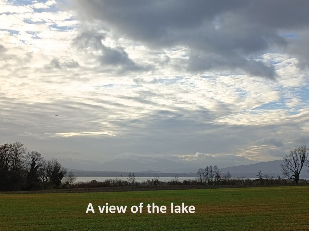
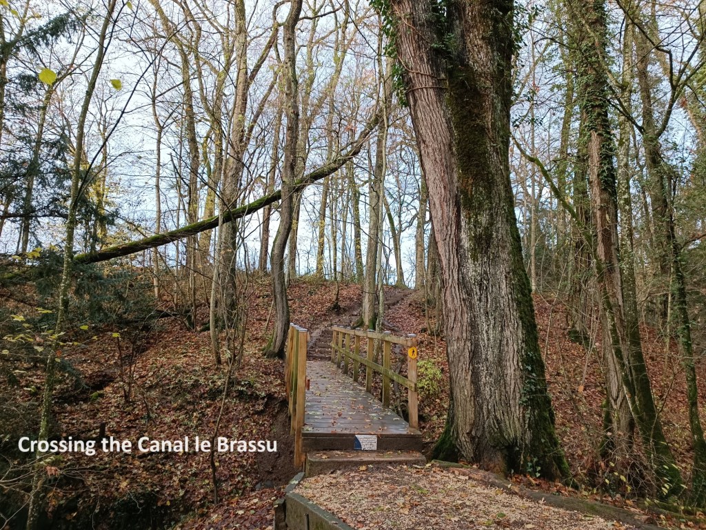
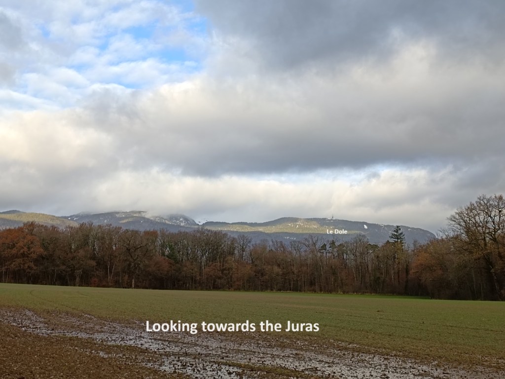
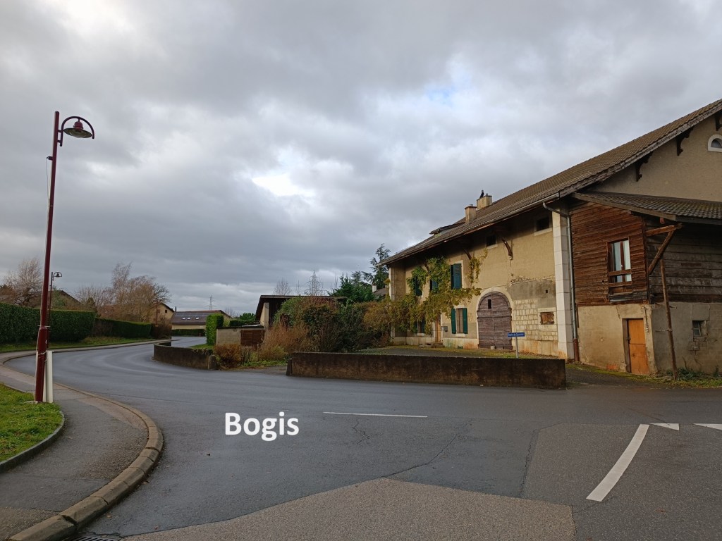
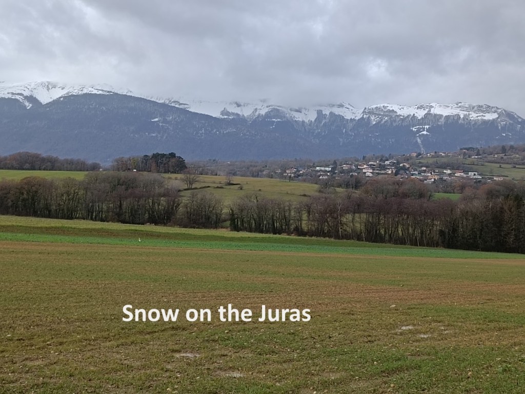
I grabbed the opportunity and made my way back to Crans. I alighted from the bus and started walking. Leaving Crans, I passed through farmland where I had a view of the lake. It would be my final view of the lake for quite a few kilometres. Then, I was into Celigny. I went through that village quickly, went on downhill and across the Canal le Brassu. Shortly after that, the Via Jacobi and the Alpine Panorama Weg separate. As before, the former takes a more northerly route, while the latter goes closer to the lake shore. This time, I chose to follow the Alpine Panorama Weg, and turned north. That brought me through farmland with views of the Jura peaks. Le Dole was visible, with its communications equipment on the summit. I went on under the motorway to reach Bogis.


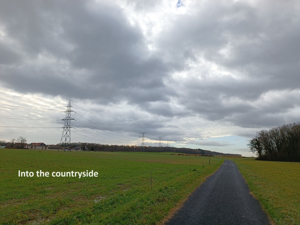
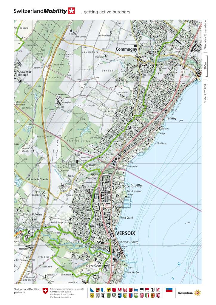
After Bogis, the trail turns westward again. It goes through the fields close to the French border, passing the village of Chavannes-de-Bogis and the Divonne border customs post, to reach the countryside beyond. The route continues through the countryside for nearly four kilometres. It passes Chavannes-de-Bois before turning right to reach Sauverny. Somewhere along the later parts of this stretch, I began to hear the sound of jet engines taking off. It meant that I was getting closer to Geneva and its airport.
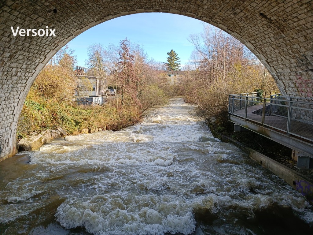
At Sauverny, the route is meant to follow the river La Versoix. The river follows the border between France and Switzerland, and it would be nice to follow it as it meanders towards the lake. However, there had been a lot of recent rain in Switzerland in the week before I came to this walk, and the trail was completely under water from the swollen river. As a result, I had to follow the road south from Sauverny.
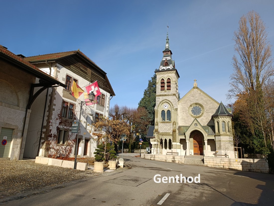
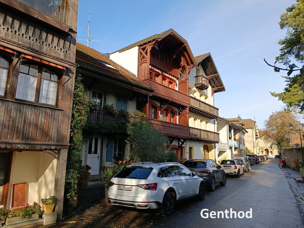
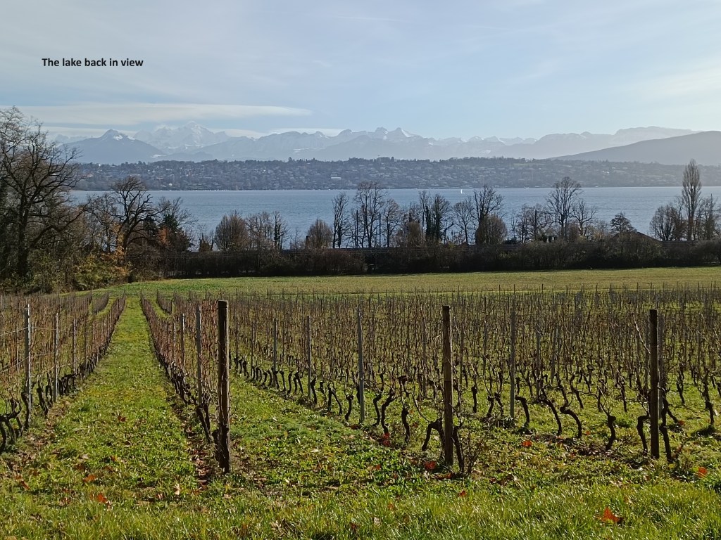
The road route was singularly uninteresting. It eventually brought me to the residential part of Versoix. I continued on to the railway station and turned again westward to rejoin the route as soon as possible. I crossed over the La Versoix, the stream that I had wanted to follow from Sauverny. I went uphill and through the village of Genthod. Then the trail went back towards the lake, and I had my first sight of it since leaving Crans hours before. Not only could I see the lake, but in the far distance, I could make out Geneva itself and its fountain on the lake.
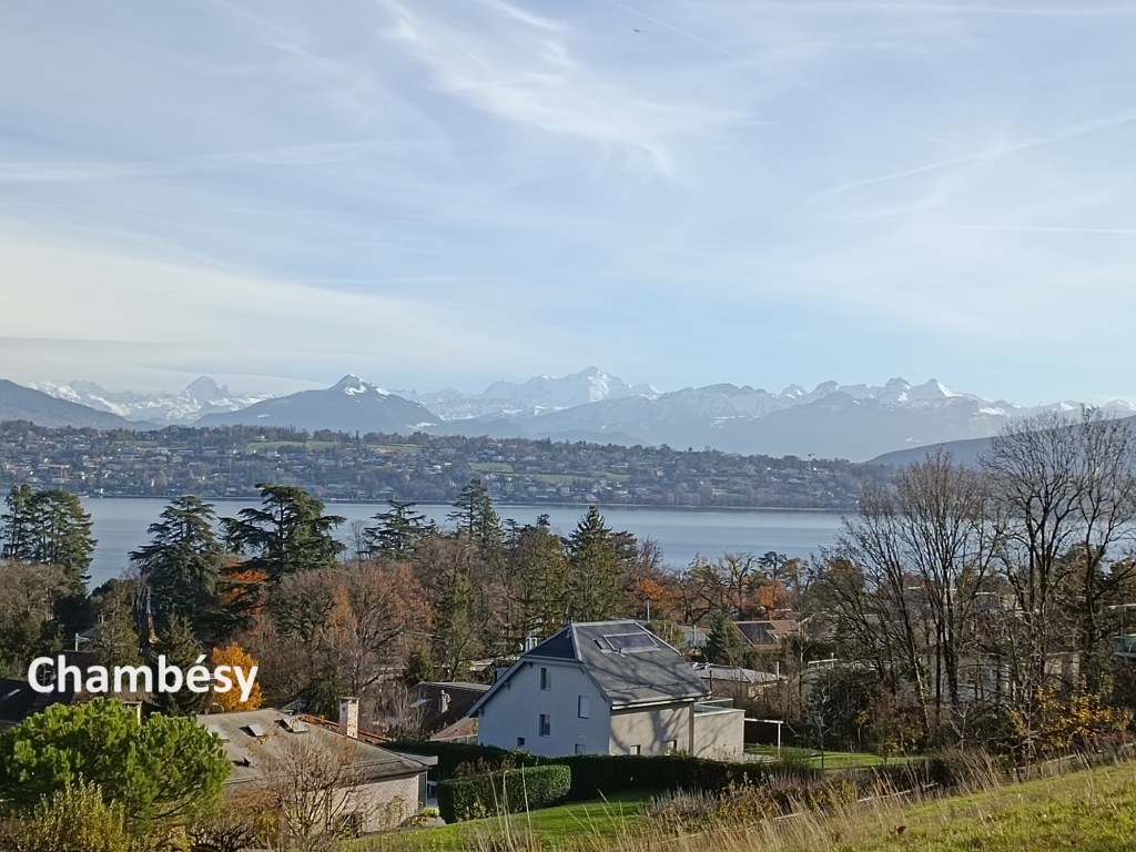
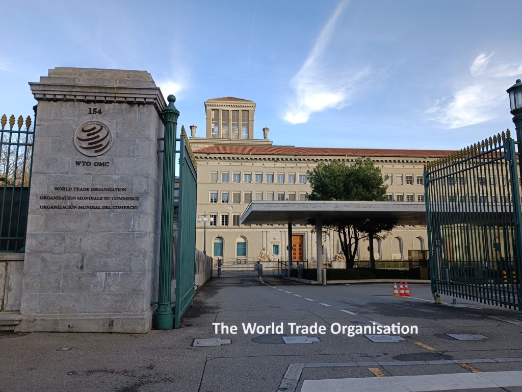
After Bellevue, the trail goes back uphill again, but still retains views of the lake at Chambésy. Then it was back downhill again to the shore. In Sécheron, I passed the headquarters of the World Trade Organisation. I had passed the headquarters of an international organisation on each of the last two walks, so it was only fitting that I should pass another on this one.
From Sécheron, I followed the promenade along the lake shore into Geneva itself. The promenade was busy with Sunday afternoon strollers, and there was also a Christmas market. I stopped just long enough to get a photo of the Jet d’Eau, the famous fountain in the lake at Geneva. And then I turned towards the city centre, the railway station, and the journey back to Basel. I had at last reached the end of the Alpine Panorama Weg.

My step count for the day was 44,032.


Congratulations Thurloch- an impressive finish of an impressive walk 💪👏👏👏🏅All the best Matthias
LikeLike