In late September, I was back on the Alpine Panorama Weg. It was “Indian Summer” in Switzerland, and I was glad to be out on the trail, enjoying what might be the last days of sunshine for a while.
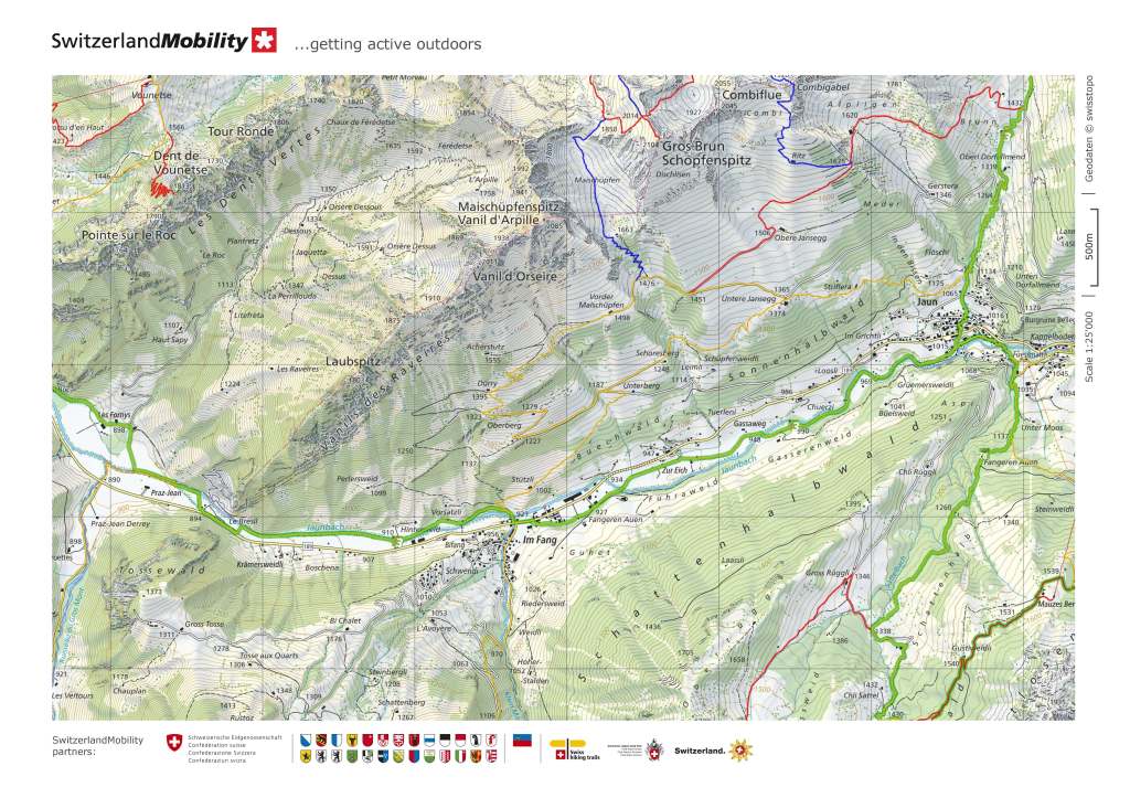
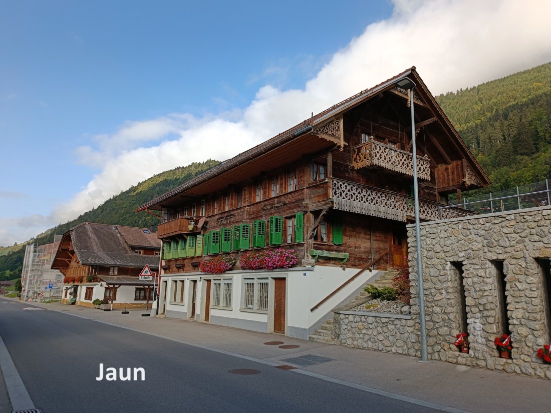
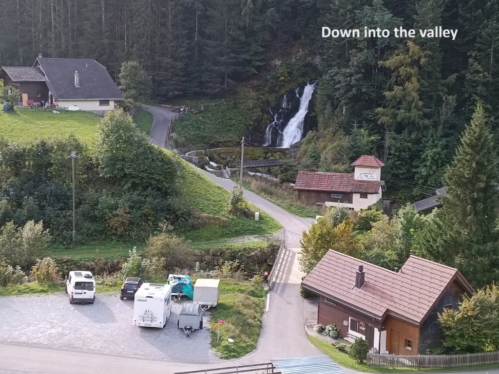
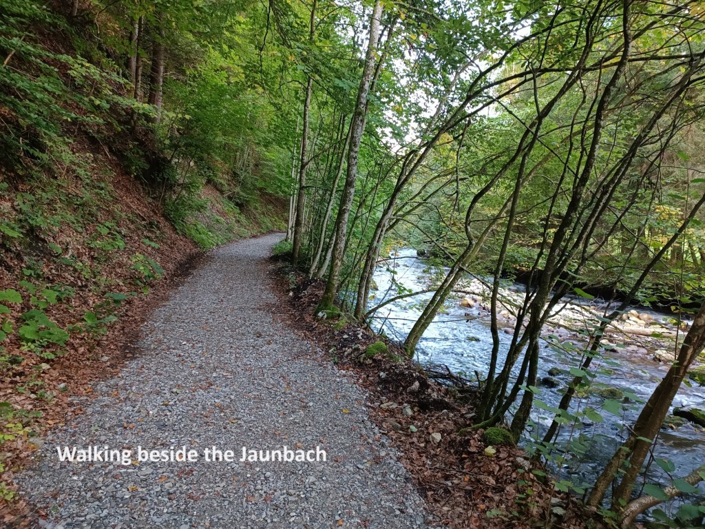
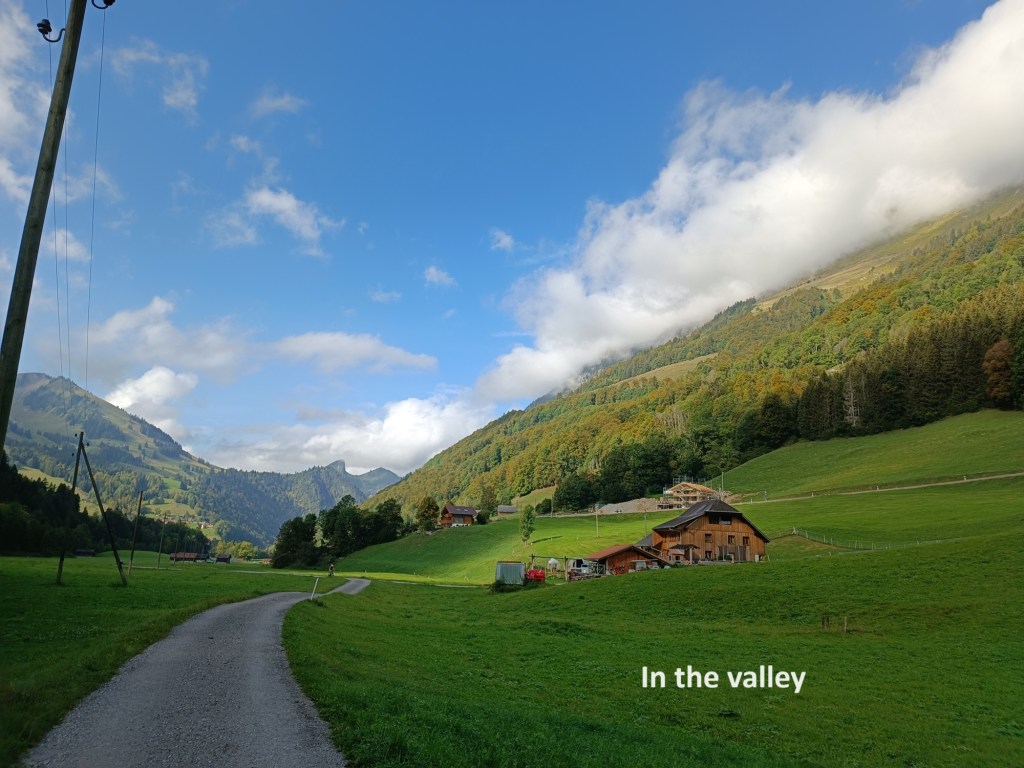
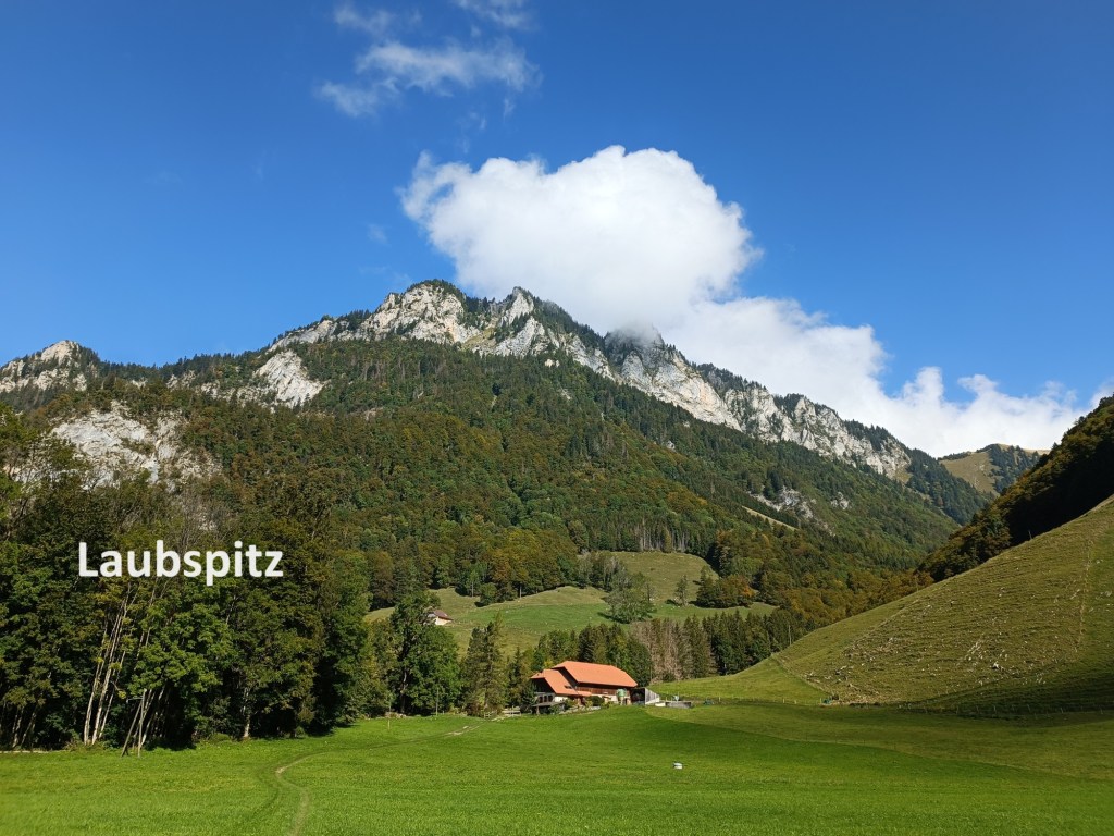
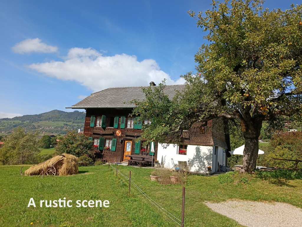
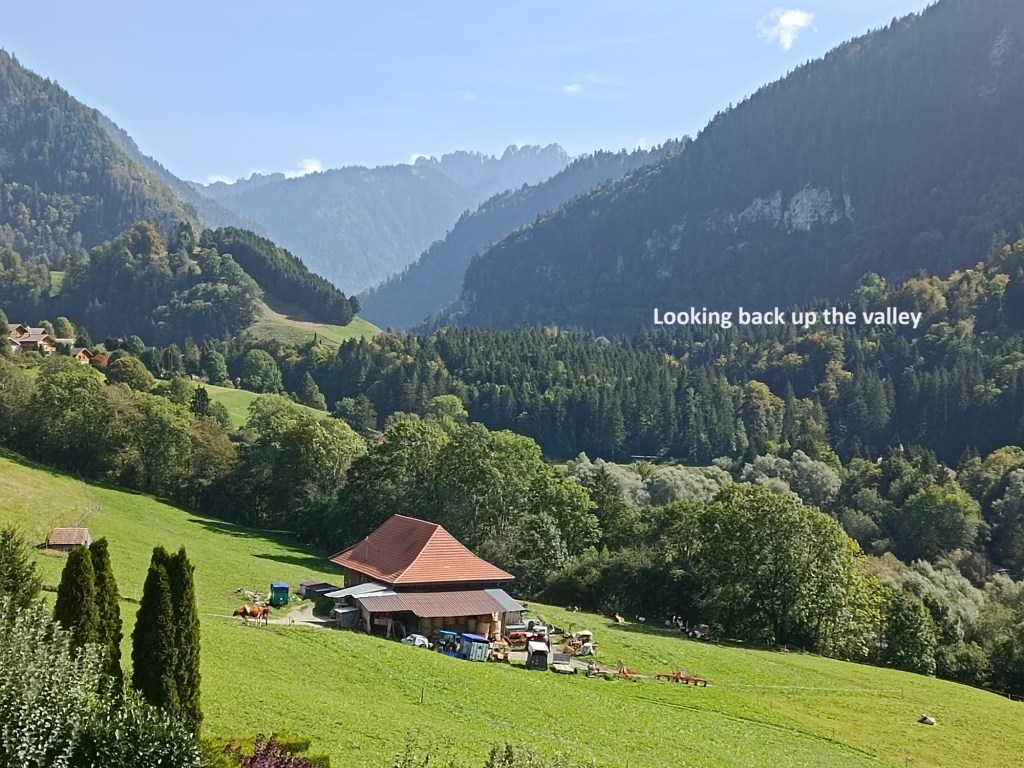
A combination of trains and bus brought me back to Jaun, in much better weather than I had experienced on my last arrival there. I wasted no time but descended to the valley of the stream below the valley, aptly called the Jaunbach. Once there, the route was relatively flat as it followed the stream for a while. At times, the trail would leave the stream and I was treated to scenes that are quintessentially Swiss: green sloping meadows with high mountains all around. And so I came to the smaller village of Im Fang. Indeed, it is hardly large enough to even be called a village, but it has its own church, so that qualifies it in my view. The trail only skirts the northern end of the village, and then continues along the Jauunbach, with the cliffs of the Laubspitz off to the right.

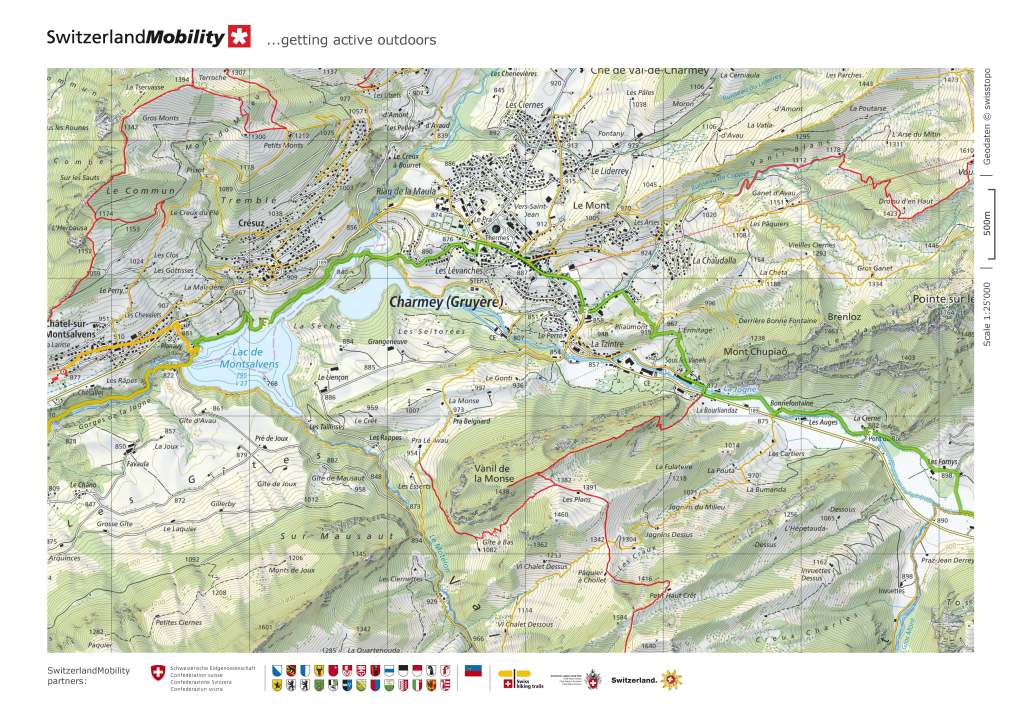
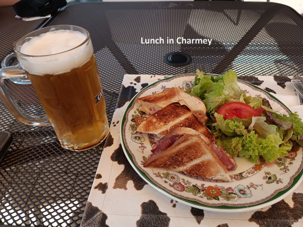
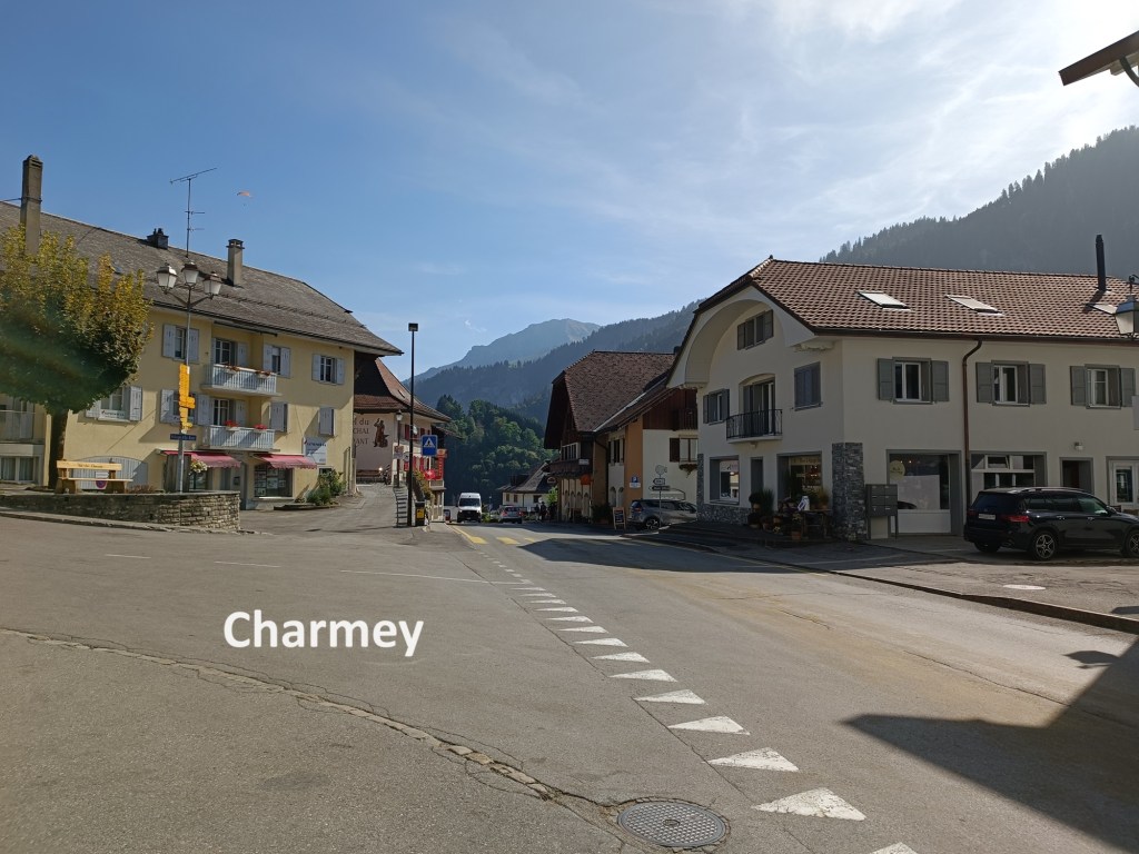
Somewhere after Im Fang, the language changes. The trail continues to follow the Jaunbach until it joins the Ruisseau du Gros Mont, and it becomes La Jogne. The placenames change too. After the farms at Krämersweidli, I came to others at Le Brésil. The Hauptstrasse keeps its name a little longer until it crosses that Ruisseau du Gros Mont and becomes the Pont du Roc. And then I was into Francophone Switzerland. The first small town, or maybe a large village that I came to was Charmey. Charmey is the heart of Gruyère cheese making, and there were several establishments making or selling the product. But for me, it was time for lunch. I had a good lunch, though I forgot to ask if it was the local cheese that was in those sandwiches.
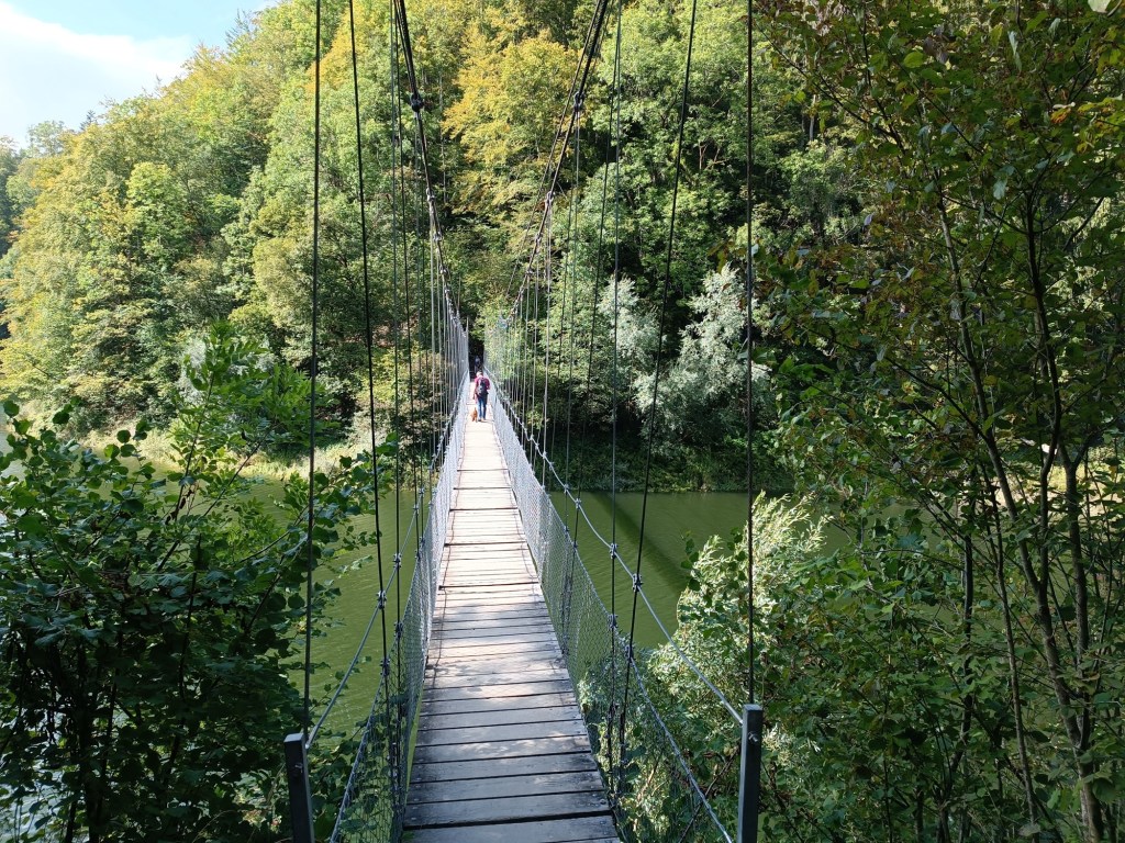
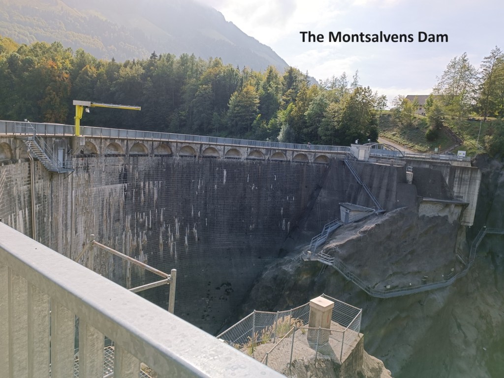
From Charmey, the trail descends from the western end of the village towards Lake Montsalvens. The lake is formed by a dam at its western end. The dam was the first arch dam in Europe. Construction was approved in May of 1918, and was completed at the end of 1920. In 1920, the reservoir filled up. The Swiss do not waste time! The reservoir has an irregular shape, and while the main body is eastwards of the dam, there is an arm that goes northwards. The trail crosses that arm on a suspension bridge, or Hängebrücke, as I am more familiar with in Switzerland. After that, the trail follows the lake shore around to the dam itself and crosses over.
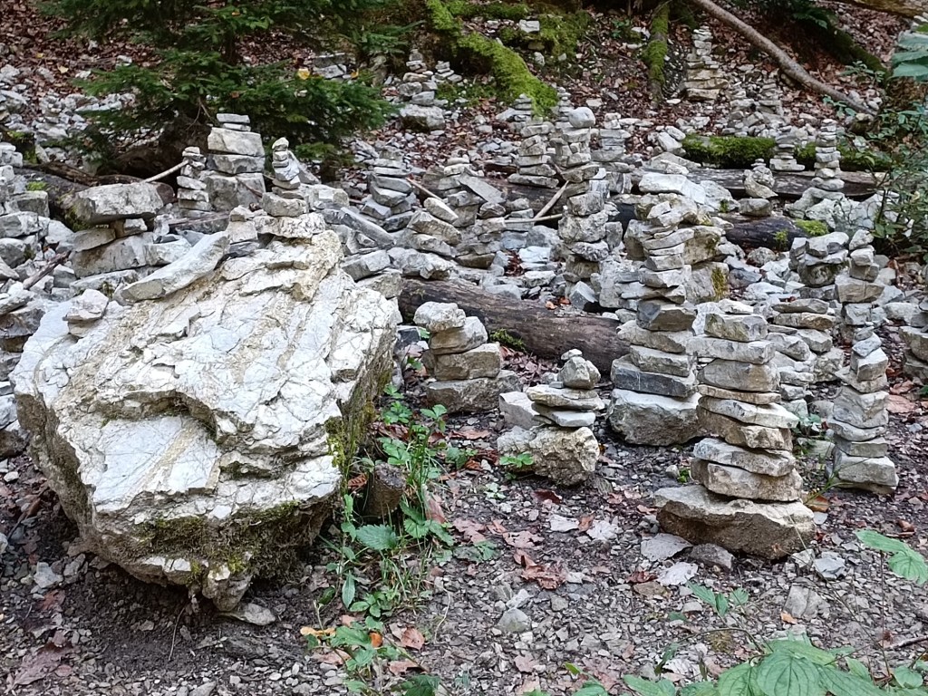
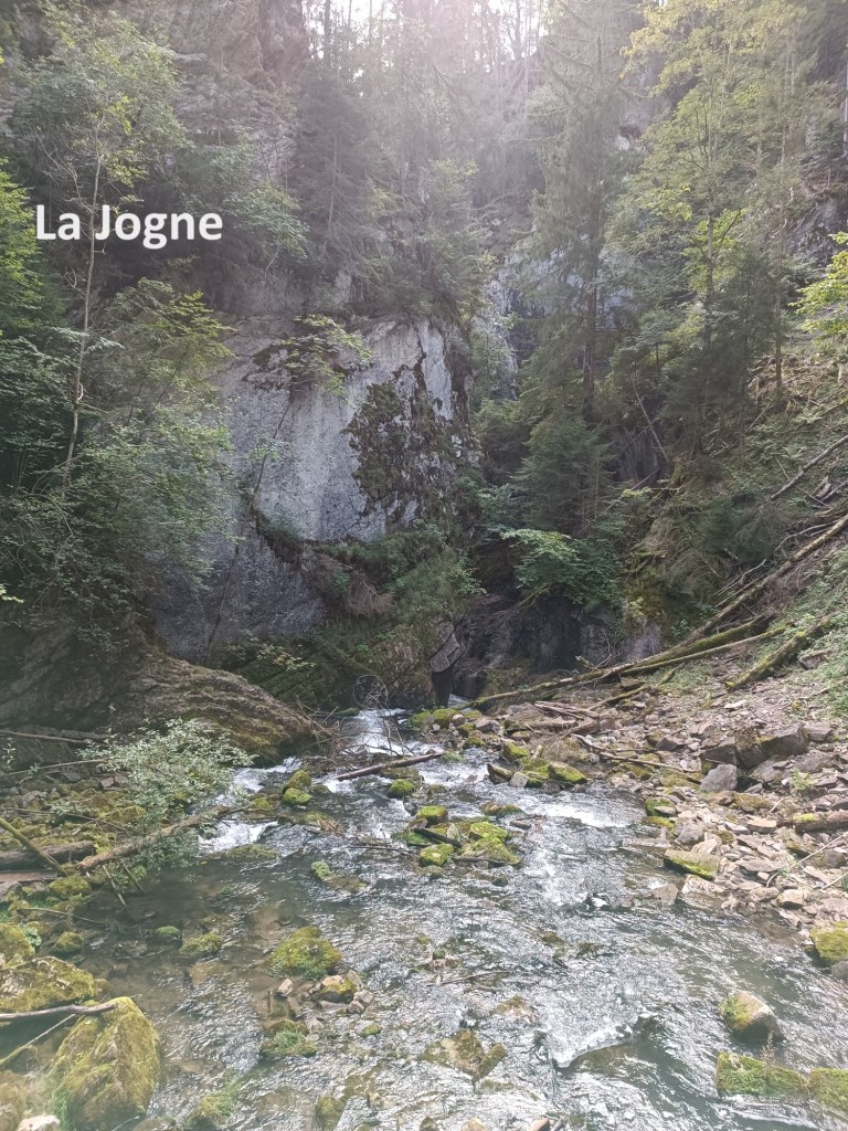

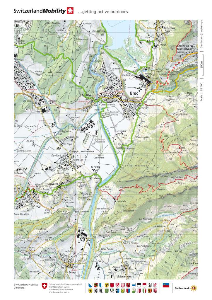
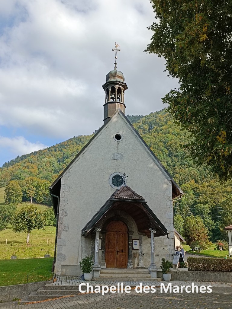
After the dam, the river goes into a gorge. The river continues to go under the name La Jogne, so naturally enough, the gorge is called Gorges de la Jogne. The trail goes over a small hill before coming down to the river again. On the way, I passed a small clearing where people had piled up stones. Sometimes I feel that there are people with not enough to do. And then I came to the gorge. The gorge is narrow, and the walls are high. There are quite a few trees growing near the bottom of the gorge, and at times the river could only be heard and not seen as it tumbled over the rocks below the trail. But eventually, the terrain flattens out and the trail comes to the village of Broc. It doesn’t actually go into the village, but just touches the southern edge and continues on to the south. Following the trail, I soon came to the Chapelle des Marches. It is reported that there has been a chapel on this site since the 1630s, but the present chapel was built in 1705 by three brothers, one a priest in Broc, and the other two priests in Gruyères. In the 1880s, two miraculous healings were reported associated with the church, and it became a place of pilgrimage. That continues to this day, though on a smaller scale than before. The peak was during WW2, when travel to Lourdes was impossible, and the Chapelle des Marches became a place of pilgrimage for the sick. There were no pilgrims there when I visited.
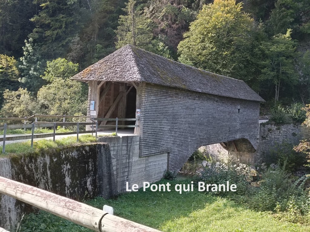
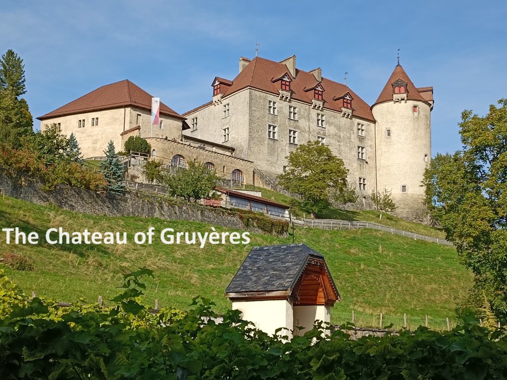
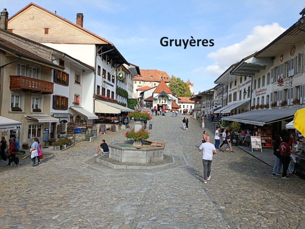
Very soon after that, I came to Le Pont qui Branle, a wooden covered bridge that was built in 1806. Then there came an ascent up the gill to the town of Gruyères. The town sits on top of a hill, but it is a relatively gentle ascent. The trail brought me into the town at the eastern end close to the castle, which has a commanding view over the countryside around. The castle is also the location of the HR Giger museum. He was the man who designed the figures for the film “Alien”. I would have liked to go there, but by now it was well into the afternoon, and I had other things to do. The town itself was in holiday mood when I arrived. It is a popular tourist association on account of its association with the world famous cheese, though apparently the amounts produced in Charmey are considerably more than in Gruyères itself. I also noticed that there was no traffic in the town. There was a steady stream of tourists from a car park a little way down the hill on the western side. I can only presume that traffic in the town is discouraged, if not forbidden. From the town, there was another kilometre or so to go to reach Gruyères train station. The main cheese factory for the town is situated right beside the station. With time pressing on, I didn’t have time to visit the cheese factory either, but I did have time for a beer before taking the train back to Basel. I might come back to Gruyères another day.
My total step count for the day was 40,353.