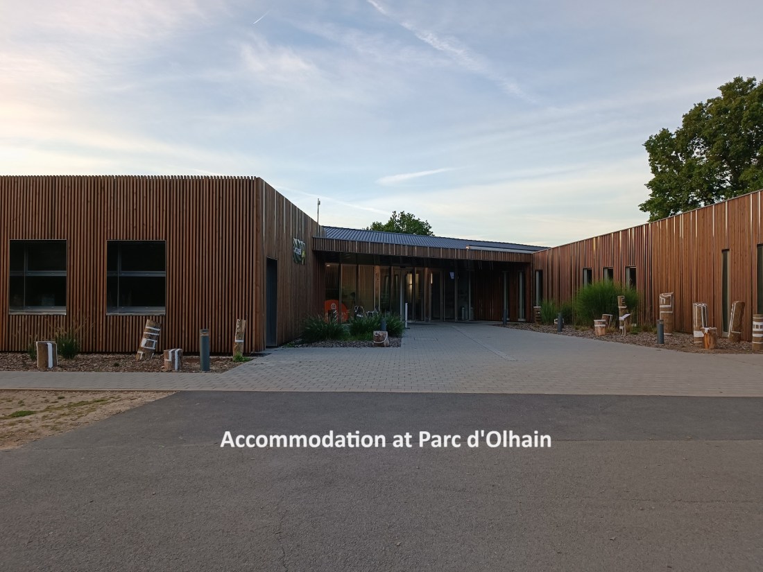
The accommodation office at Parc d’Olhain said breakfast would be available from seven o’clock in the morning, so I was there precisely on the hour. Alas, the breakfast was not ready. I filled my water bottle, stuck it into my rucksack, and went back to the dining room, where by that time, the staff had set out the buffet. I was still the first one there. After an excellent and leisurely breakfast, I was ready to hit the trail.
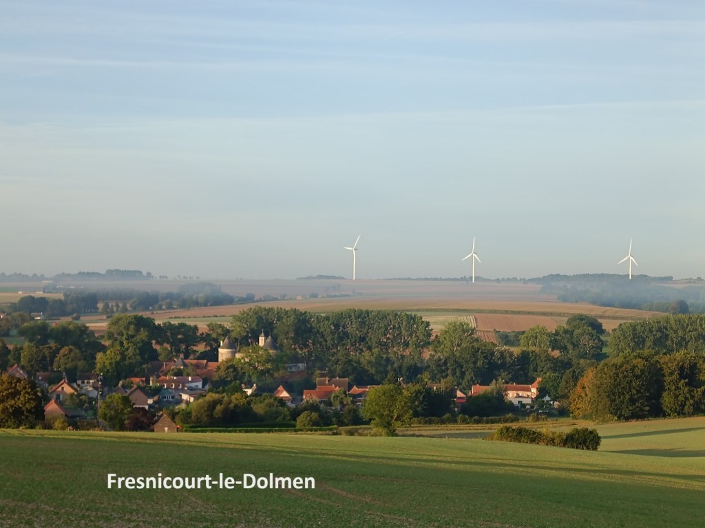
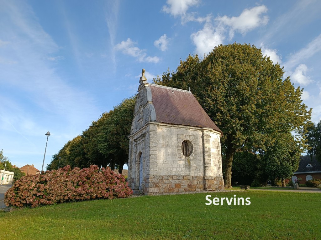
Because it is a leisure park, there are a lot of trails in Parc d’Olhain. It required some concentration to make sure that I was on the right trail leaving the park, and I almost went astray a few times. Coming down the hill from the park, the villages of Olhain and Fresnicourt-le-Dolmen were visible in the valley below. However, the trail manages to avoid both of those. Once the trail reaches the road east of Olhain village, it turns east, going away from the village itself. The route then turns to a more southerly direction, going into a forest as it does so. Eventually, it emerges into fields again, and reaches the village of Servins. Servins was quiet when I got there, with nothing happening, and few people out and about. I did not stop, but went on through.

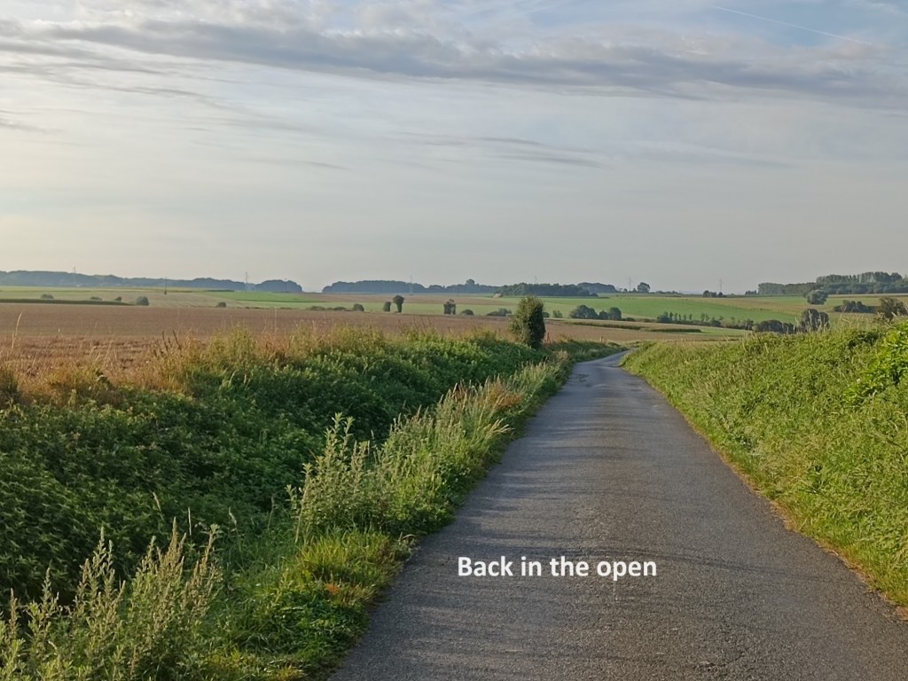
Leaving Servins, I was back into open country, the fields stretching out flat in front of me. And then I was back into forest again. I had calculated that there might be two shortcuts possible on this leg of the journey. The first was in the forest between Servins and Ablain-Saint-Nazaire. The trail follows what amounts to three sides of a rectangle, and a close look at the map the evening before suggested that there might be a track along the fourth side which would save me a short distance. However, it was not to be. The track along that fourth side of the rectangle is on private property, and as the trail made its way along and just outside the boundary fence, there were several notices proclaiming it as such. Notices in French said that trespassers would face the pain of prosecution.
I had more luck with my second attempt at a shortcut. The official trail follows a circuitous route to enter Ablain-Saint-Nazaire, effectively covering five sixths of the perimeter of a rectangle in the process. My shortcut took the remaining one sixth of that perimeter, and I reckoned that it saved me about two kilometres in the process. With a long walk planned for the day, and the sun blazing overhead, I wanted every possible reduction in the distance.
The trail went on southwards from Abalin-Saint-Nazaire. There was nothing open in the tiny village of Carency, and I didn’t stop. Eventually, the village of Mont-Saint-Eloi came into view, with its ruined hilltop tower. Saint Eloi was the evangeliser of this part of north-eastern France, and a bishop of Cambrai. To house his relics, a monastery was built at the top of the hill, an elevation of just 136 metres. The abbey fell into disuse after the French revolution, and was effectively quarried to provide stone for other buildings. Somehow the towers of the abbey were spared unti the early twentieth century. They were used as an observation post by the allied forces in World War One, and suffered in bombardment by German artillery as a result. Today, they stand stark against the skyline above the village.

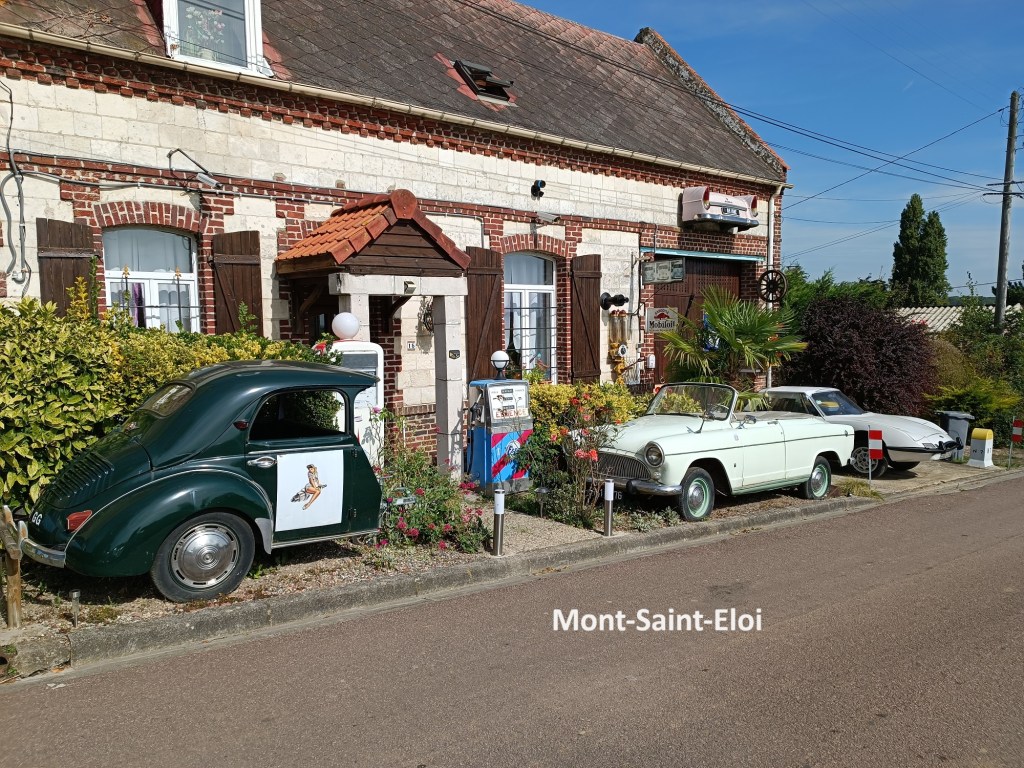


The official trail somehow avoids the abbey towers, taking a route on the western edge of Mont-Saint-Eloi. I chose to go through the village and was rewarded by finding a café that was open and serving lunch. I paused long enough to enjoy some refreshments and a local brew, and even got my Credencial stamped. Then I was on my way again.
I rejoined the official trail and went on downhill towards Écoivres. As I was coming towards the junction with the D49 road, I met a man who asked me if I was a pilgrim. I told him I was, and he advised me to take a left turn at the junction. The official trail turns to the right. But he assured me that the left turn, and almost immediately a right turn would be much shorter and would get me to Arras faster. I looked at the map, and realised that he was right. I thanked him for his good advice, and went on my way, while he wished me “Bon courage”.
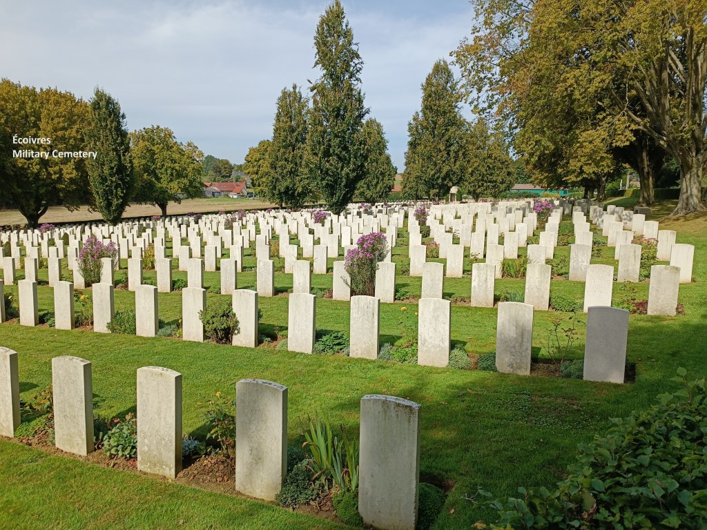
This shortcut took me past Écoivres Military Cemetery. This was the first of many WW1 cemeteries that I would pass, and is one of the larger ones. There was no fighting in Écoivres during WW1, but it was a staging post for soldiers going up to the front line, and presumably a place for receiving casualties from the nearby battles. But all is peaceful now, and even more than a hundred years after those battles, the cemetery is well kept.
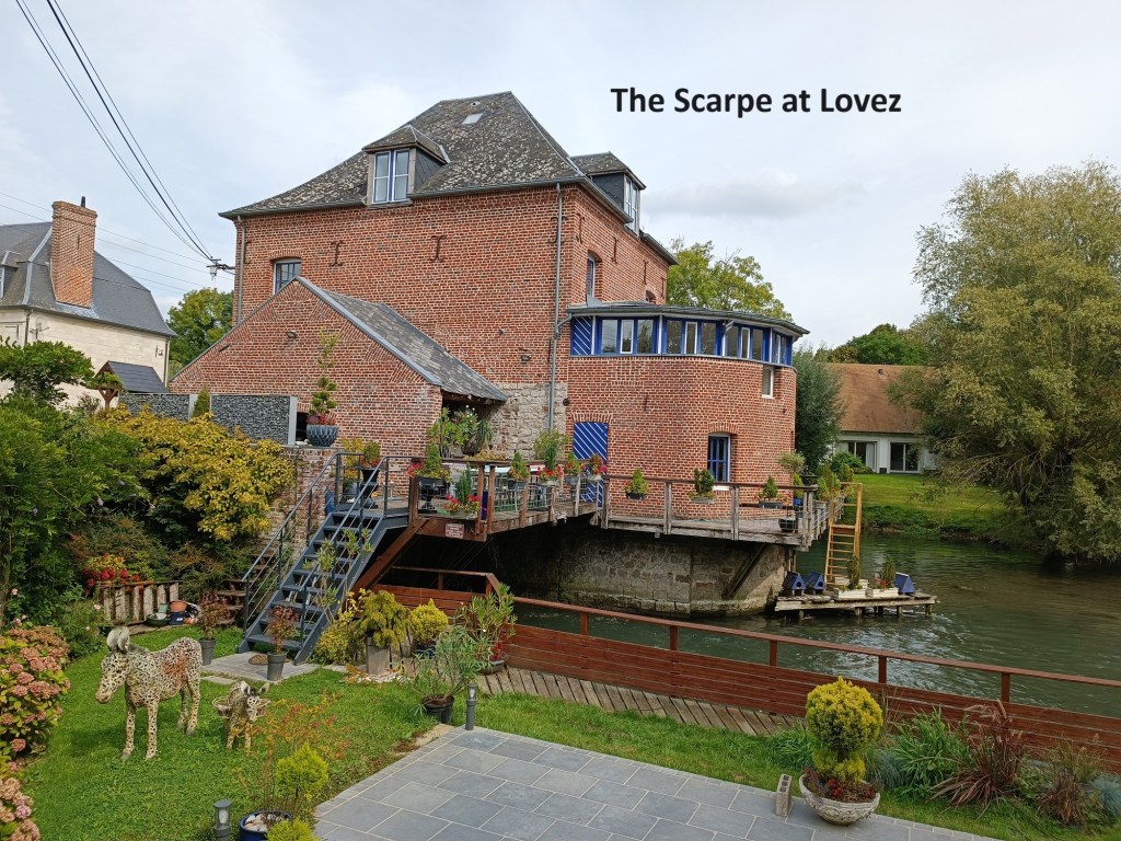
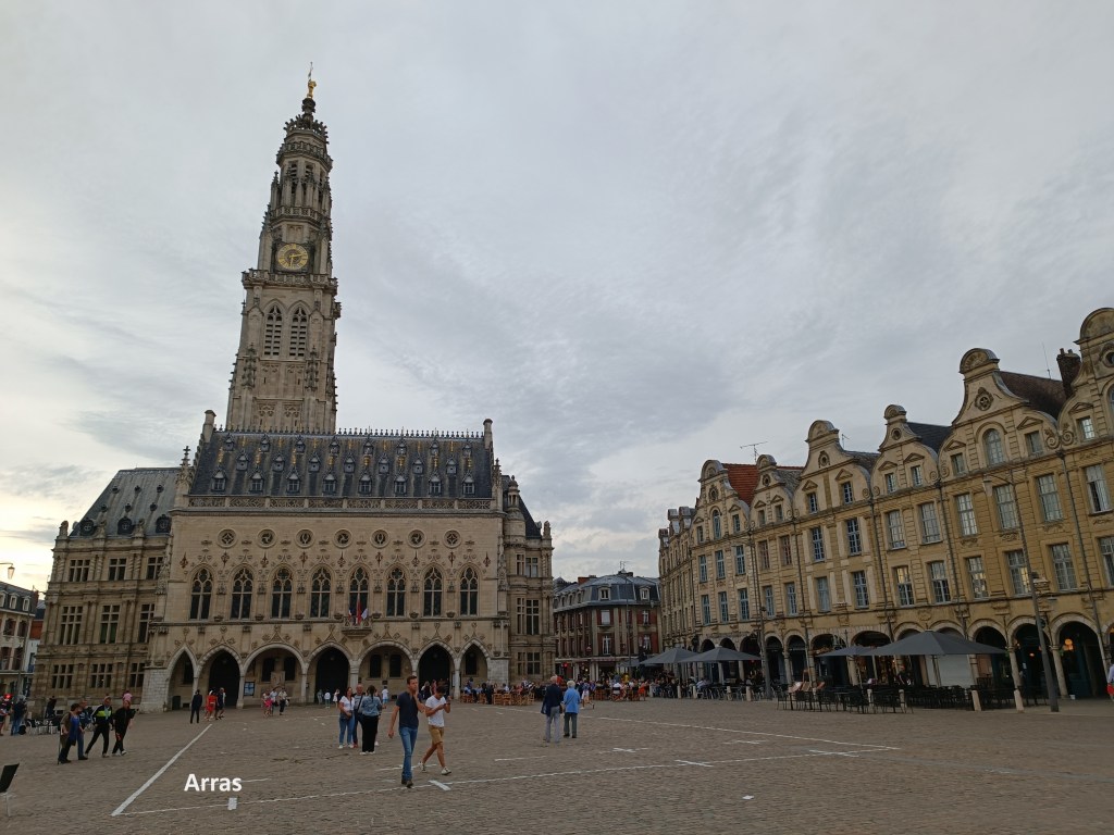
I continued on along the C12 road, turning onto the C3. I went through Bray, and followed the road alongside the Scarpe stream to reach Marœuil. There, I rejoined the official route. I followed the trail then through Lovez to reach the northern edge of Arras. The trail follows a road into the city initially, but then detours via a park, Les Grandes Prairies, to reach the city centre. I decided to follow a shorter route, and before long took a wrong turn, which actually gave me a longer route into town that if I had followed the correct route. However, it was not a large diversion, and I was soon back on track, and reached the accommodation for the evening, an abbey house not far from the city centre.
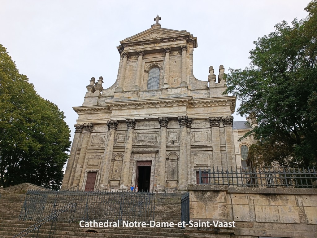
Later I went into the city centre. Arras was close to the front line in WW1. For much of the war, the front line was just to the east of the city, and it was under regular bombardment. The city’s cathedral was heavily damaged in the war. Interestingly, the cathedral is dedicated to both Notre Dame and Saint Vaast. It was originally meant to be part of an abbey dedicated to Saint Vaast, but in 1848 it replaced the older Cathedrale de Notre Dame, so now it is known as the Cathedrale de Notre Dame et Saint Vaast. After the dame in WW1, the cathedral was restored in the 1920s.
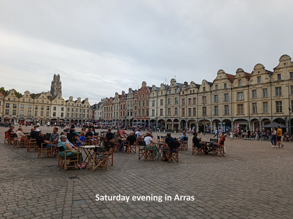
The square in the city centre was a lively spot, with hundreds of people enjoying the evening sunshine. I took some time to enjoy a good meal there before heading back to the monastery for my night’s rest.