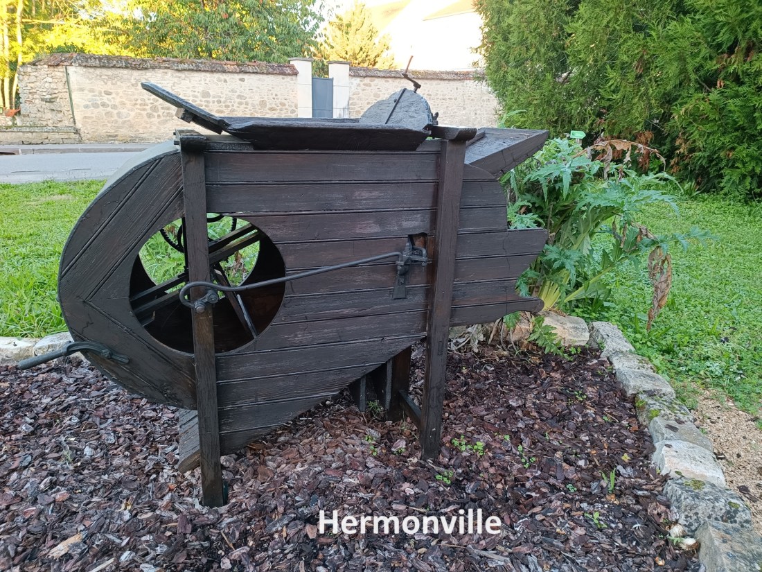
My last day on this section of the trail was a short one. However, that did not mean I should not start early. My B&B accommodation hosts had prepared an early breakfast and soon I was getting ready to go. My host asked if the rucksack was heavy, and I offered it to him to lift it. “Mon Dieu,” was his response when he lifted it, and he expressed wonder that I should carry such a weight all day. But by now, I was well used to it, and I swung the rucksack onto my shoulders for what would be the last time on this trip.
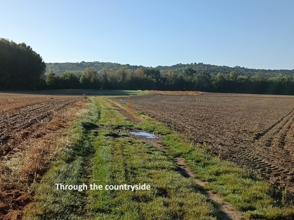
I headed back into the centre of Hermonville and rejoined the trail. At the edge of the village, the route goes down a side street, and then out into the fields. It twists and turns for several kilometres. And then I came to a sign indicating the Fort de Saint Thierry off to my right. Out of curiosity, I went there.
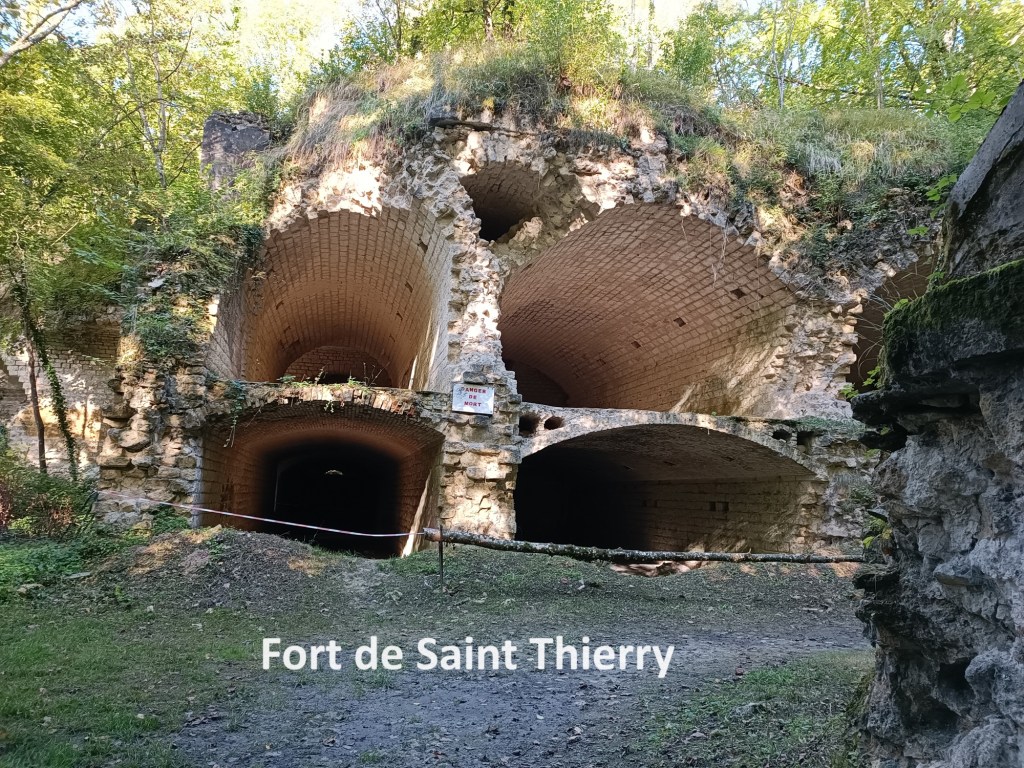
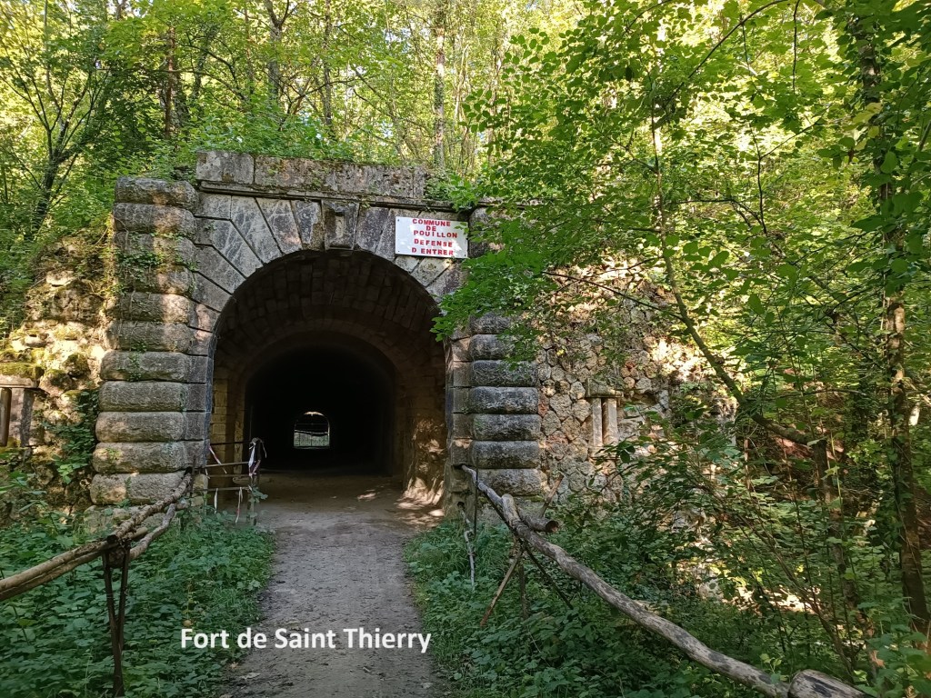
The Fort de Saint Thierry was built between 1877 and 1880 to be able to accommodate five hundred men in the garrison. It was the scene of fighting in 1914, and was captured by the advancing German armies. The German forces demolished part of the fort, reducing its effectiveness. There was fierce fighting there in 1918. Today, the fort lies hidden in the woods. There are signs, which I ignored, saying that one should not access the fort. Only the ruins remain. After the wars, any bricks that could be salvaged from the fort without causing its total collapse were taken for rebuilding the local villages. So it should be. “They shall beat their swords into ploughshares, and their spears into pruninghooks.”
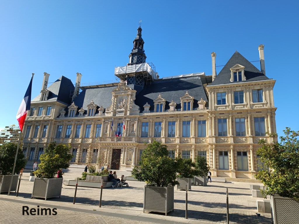
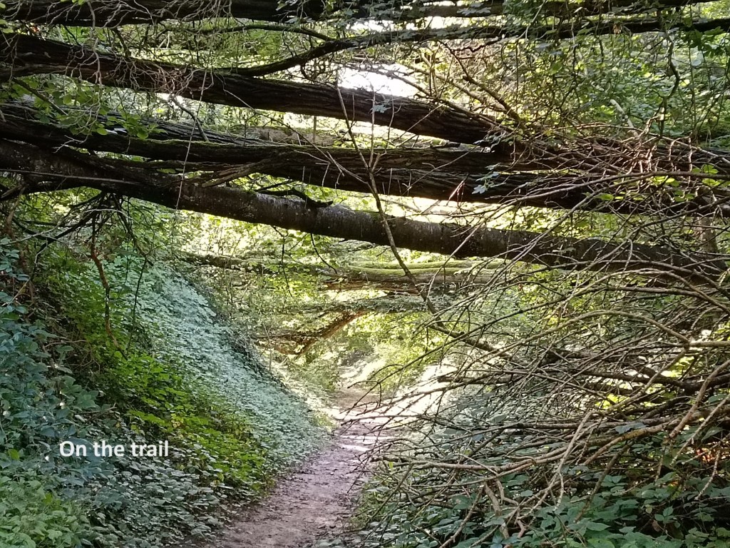
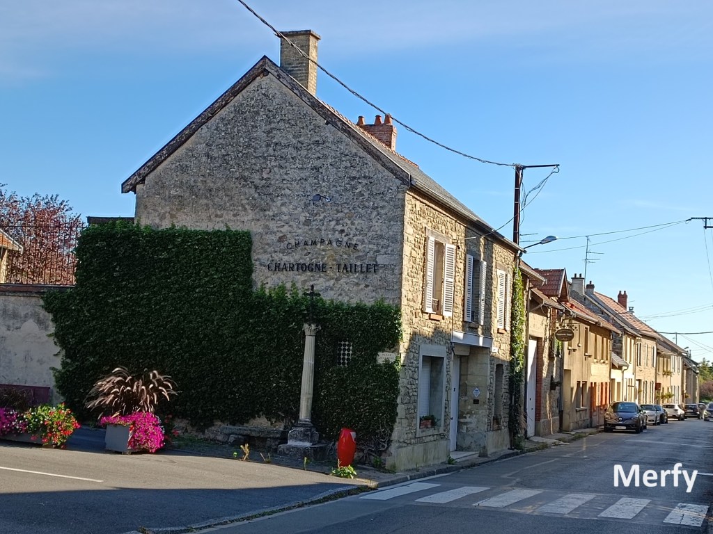
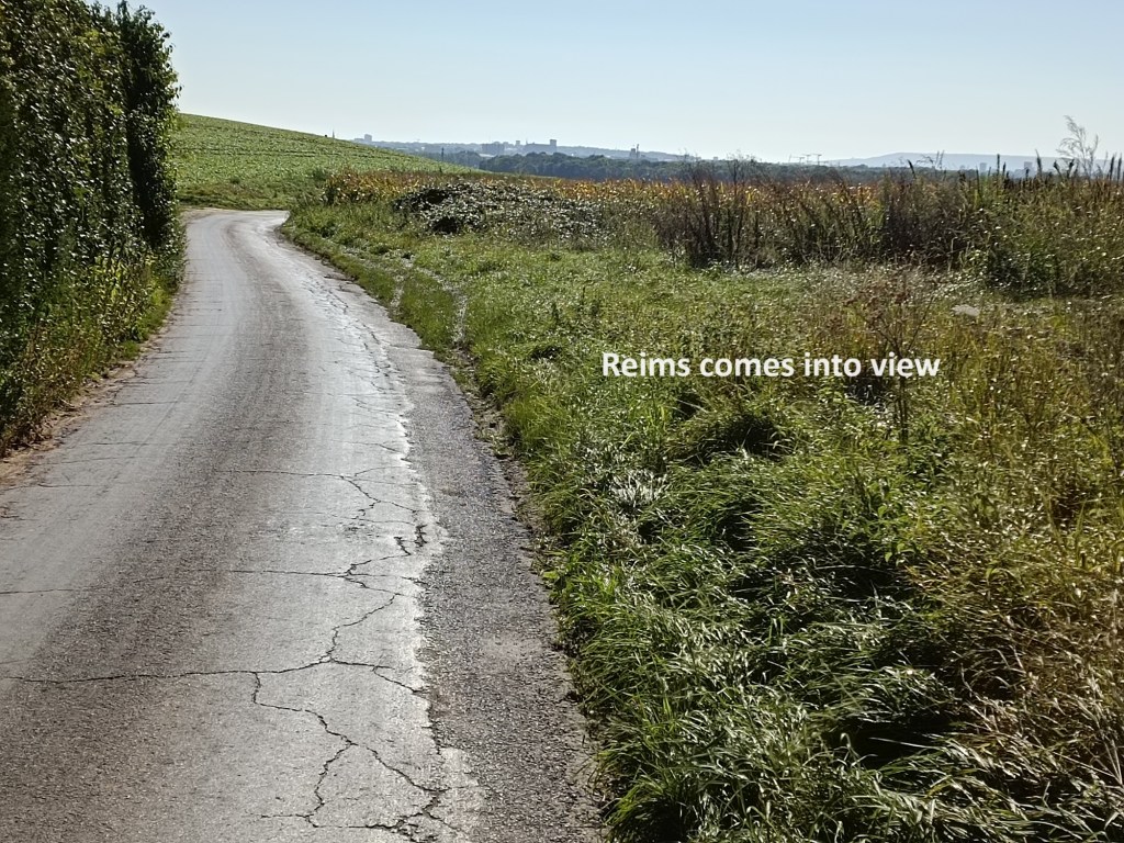
I followed the trail onward, at one stage going along a sunken road, with a canopy of fallen trees overhead. This brought me to the village of Merfy. This small village lay quiet in the morning sunshine, and I went straight through. Not long after came Les Maretz, which is no more than a tiny hamlet. Along the way, the city of Reims came into view for the first time.


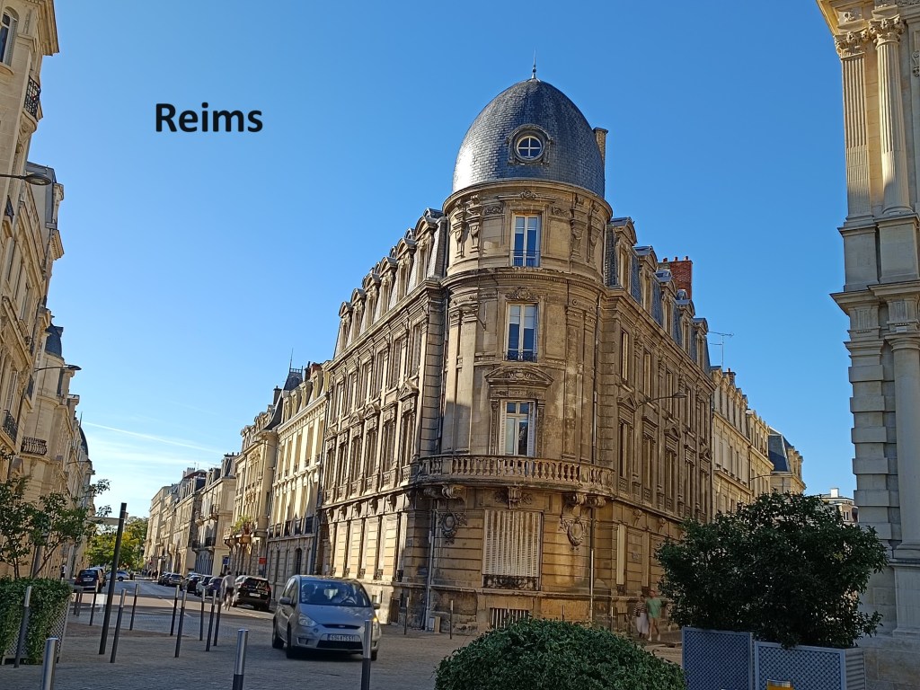
I continued on through the countryside, and soon came to the edge of the city. The route into the city follows another canal. Canals and disused railways have played a prominent part in my journey, so it was fitting that Reims, my final destination of this trip, should also involve a canal. This canal was the Canal de l’Aisne a la Marne. Canal building around Reims goes back to the seventeenth century, but the complete canal was only finished in 1866 after fifteen years of construction. It is still used for freight, but as I walked along the bank there were only pleasure craft on the water.
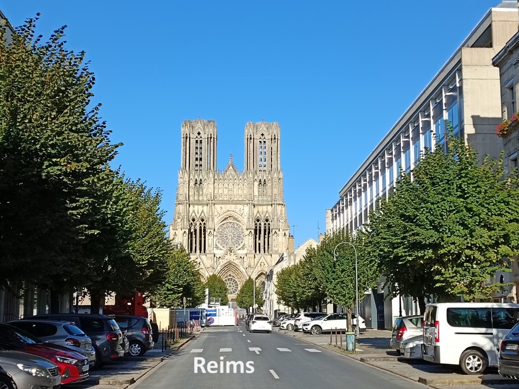
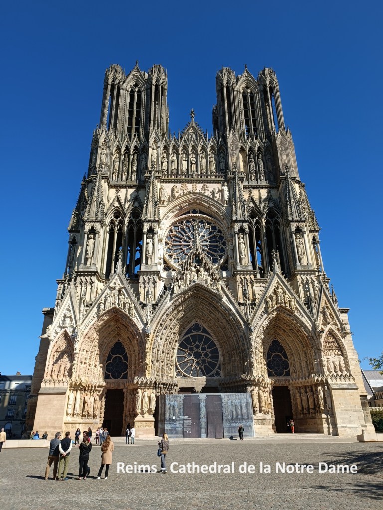
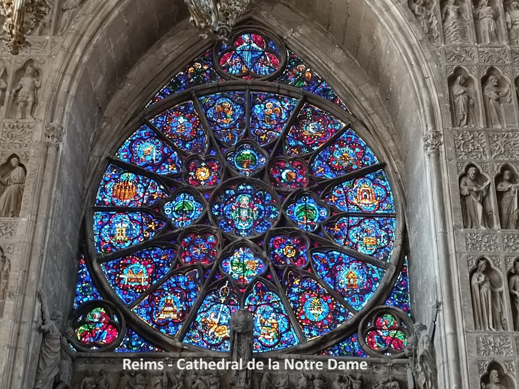
In the city I turned away from the canal and walked the short distance to the cathedral. It is another Cathedral de Notre Dame. In WW1, the German army entered Reims on 4th September 1914. They left the city on 13th September as the Battle of the Marne unfolded. On the 14th, the French army entered the city. On 19th September 1914, the roof of the cathedral caught fire, and the building remained roofless for the remainder of the war. Reims was close to the front line, and was only considered safe after October 1918. Reconstruction was not completed until 1938. In 1962, Reims was the scene of a meeting between Charles de Gaulle and Konrad Adenauer. The two men pledged to reconciliation between their countries, looking to the future. They were met at the door of the cathedral by Monsignor Marty, who told them that “To offer the hand is good. To offer the heart is better.” It was the start of a process that has led to the Europe we know today.
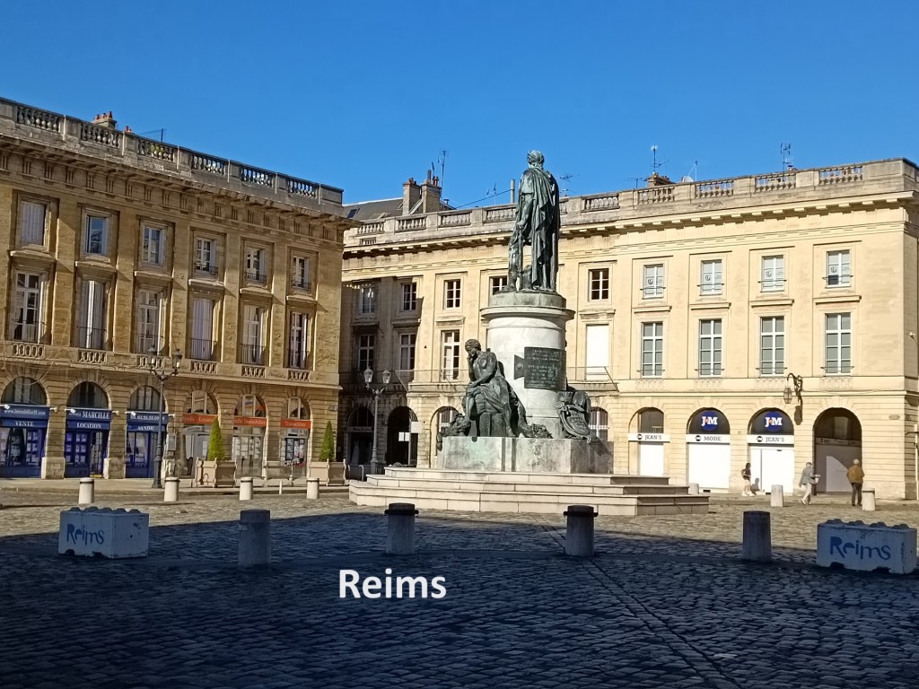
In the cathedral, I actually got two stamps for my Credential. The cathedral marked the end of my walk on the via Francigena for this year. I stayed in Reims overnight, enjoying a good dinner after my travels, and the next morning, I was on my way home and back to normal life. My fifteen days of walking were something special, and when leaving Reims, I was already thinking of the next stage.