
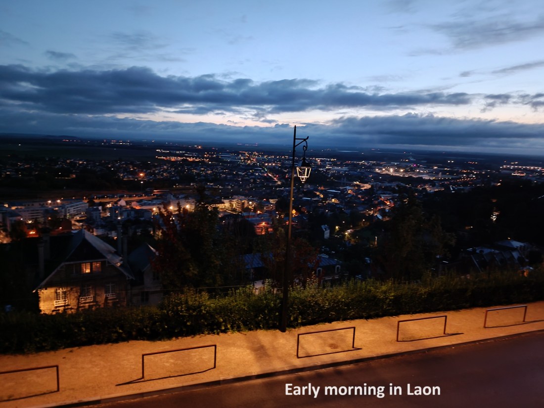
The next morning, I was awake early. I got everything together and packed my rucksack. Everything was dry, except my boots. They were just damp, but I was confident that they would dry out on the trail. I tidied up the little apartment and left.
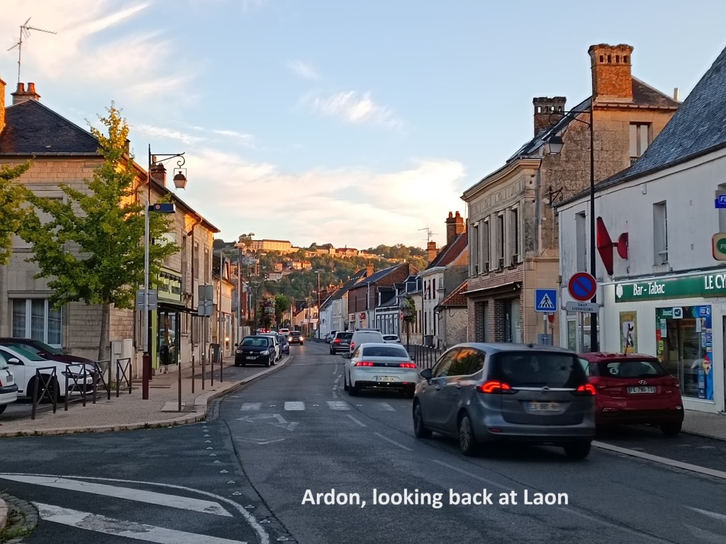
I stopped at a boulangerie to get supplies for breakfast and went on. The trail takes a lengthy route out of Laon, going around in a semicircle before heading south. I chose to take the more direct route, going directly south. Narrow streets brought me to the Porte d’Ardon, and then I was heading downhill. The road has to take it gently going down, using a series of hairpin bends to negotiate the steep hill. For the walked, there is a path that goes directly down the hill. Once on level ground, I followed the D967 road southwards. The official route came back to join the D967, and I soon reached Ardon. And there I found a suitable place to sit down and eat my breakfast in relaxed fashion, with the fresh croissants and pain-au-chocolat.

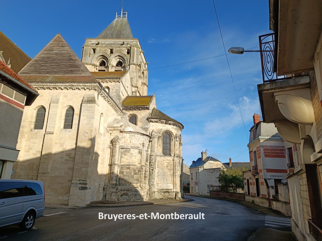
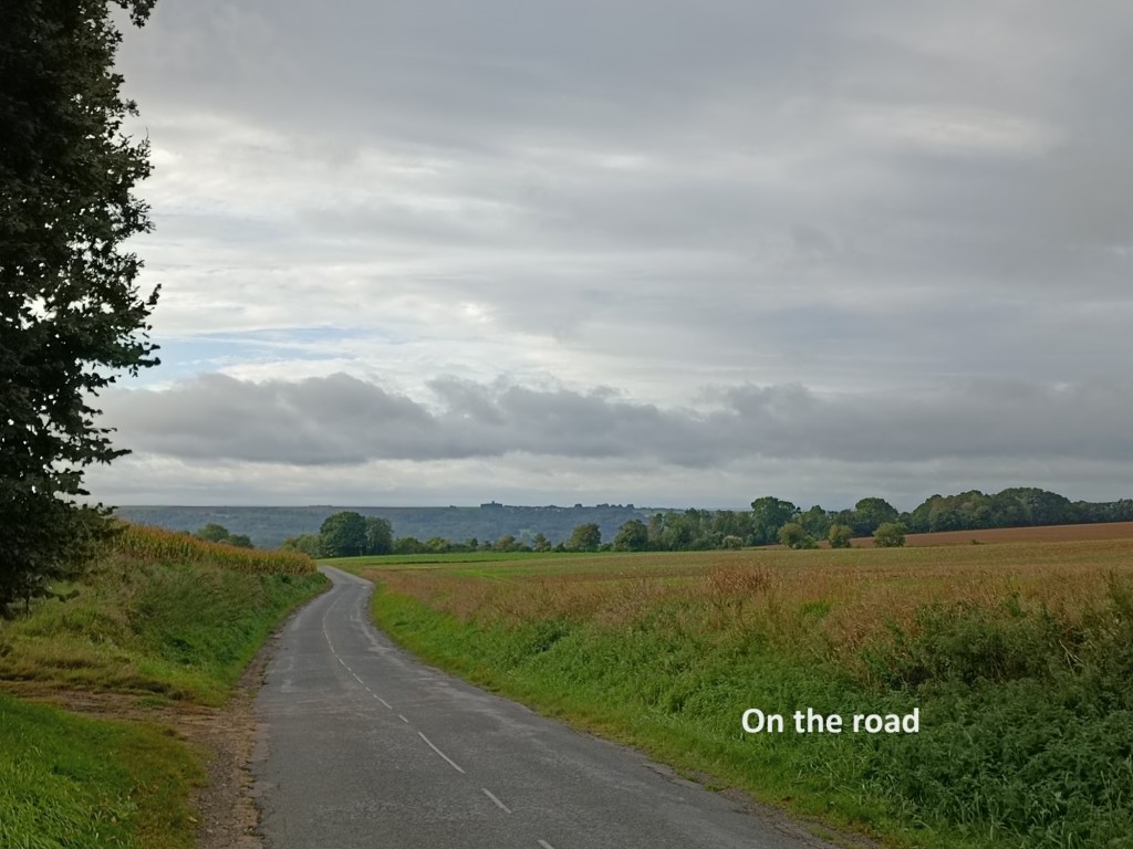
A little to the south, the trail turns off to the left. I probably could have taken a shortcut and followed the D967 to the next village, but the sun was out, and I was feeling good about the day. I followed the official route as it wound its way through fields and woods. It is quite flat, which made for good going. That brought me to the village of Bruyeres-et-Montberault. This quiet little village has what looks like an interesting church, but it was locked. I had no need of refreshments, having breakfasted in Ardon, so I kept on going.
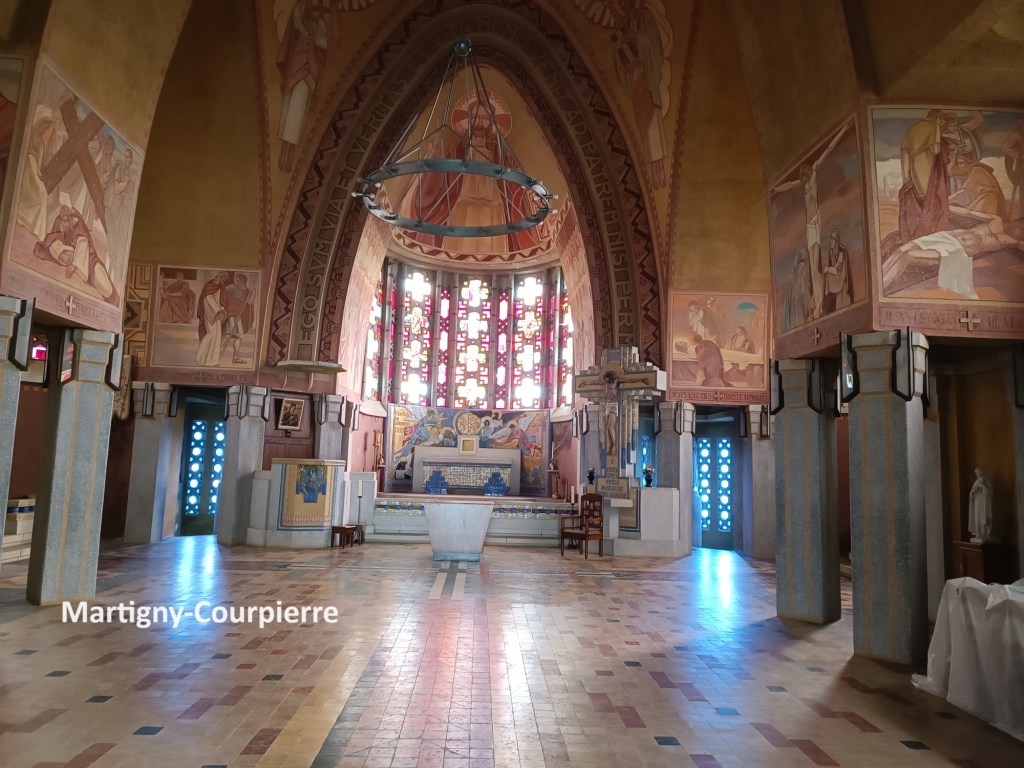
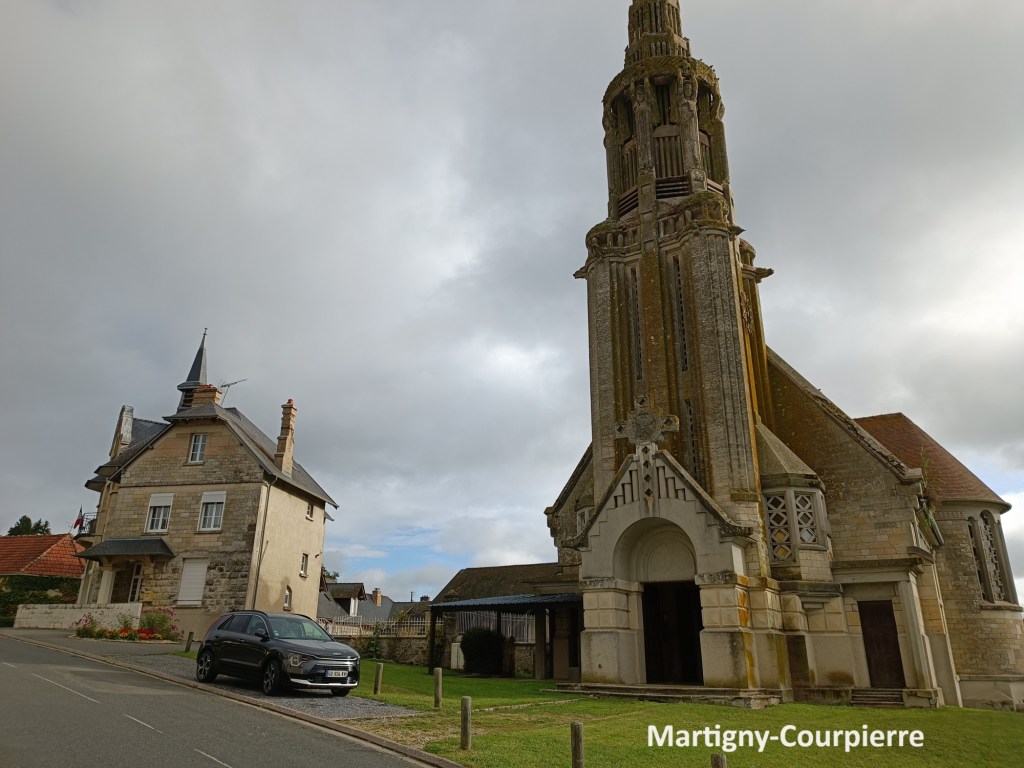
The trail continues in an almost due south direction. Outside Bruyeres, it followed the D967 again for a short distance before once more taking to the fields. The Montberault part of Bruyeres-et-Montberault is no more than a tiny hamlet, and the route bypassed that completely. That brought me to Martigny-Courpierre. The church there was open, and I went inside. It is neither ancient nor modern, and not the most interesting.

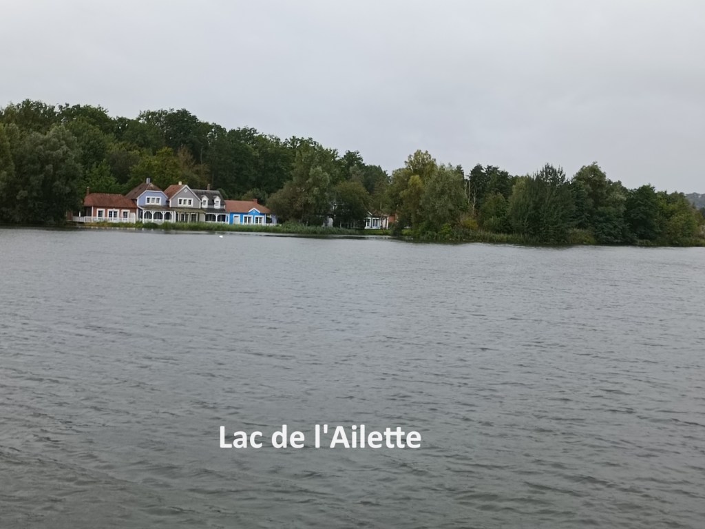
After Martigny Courpierre, the trail leaves the road, going off to the southwest for no good reason, and coming back to rejoin the road about two kilometres further on. The guidebook suggests staying on the road, so that is what I did. By now, the skies had turned to grey, and I was a little bit worried that I might face a repeat of the previous day’s rain. Going on south, I came to the Lac de l’Ailette. And that is where the rain started. The trail crosses the lake on a footbridge that is beside the road, and then goes under the road to come up on the other side. I took advantage of the shelter offered by going under the road to get out the raingear. With the raingear on, I went on out into the open again. The trail follows the road from there for a while. It is not actually on the road, but is on a track just beside it. A little before the village of Neuville-sur-Ailette, the trail once again turns away from the road for no apparent reason, this time for a distance of one kilometre. And again, I chose to follow the road into Neuville-sur-Ailette.
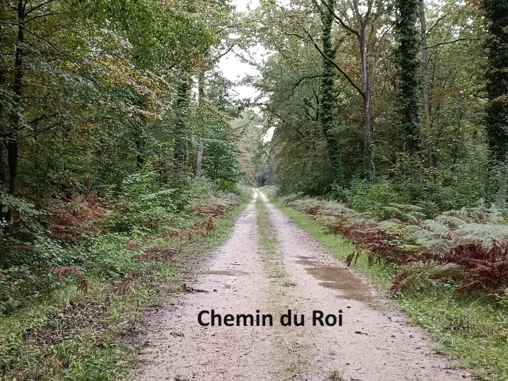
I rejoined the trail in the village, going south, and very soon afterwards turning left to go eastwards again. This area seems to be some sort of leisure park, and there were several people out walking. The trail follows the shore of the lake as it goes eastwards. After that, there was an almost straight path eastwards. At first it is beside the l’Ailette, which is really just a stream, and can hardly be called a river at that place. Then, the trail goes onto a route labelled as Chemin du Roi, the king’s road. It is not a road at all, just a kind of forestry track, but who am I to argue its grand title? Anyway, the rain stopped at that stage, something I was quite glad of.
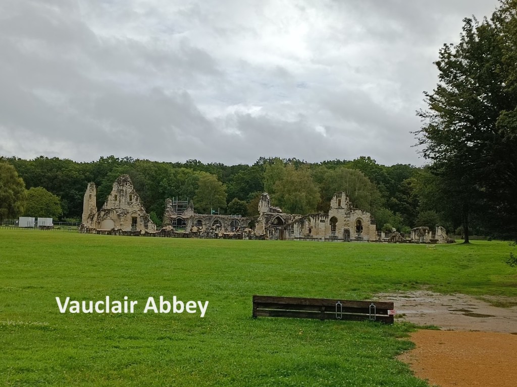
That brought me to the D886 road, and turning left onto that, I was quickly at the Vauclair Abbey. The abbey, now in ruins, was a Cistercian monastery, founded in 1134 by Saint Bernard of Clairvaux at the request of the Bishop of Laon. In the centuries that followed, the abbey prospered until the Hundred Years War between England and France. It suffered damage then, and again in the religious wars that racked Europe in the sixteenth and seventeenth centuries. Nevertheless, it survived those turmoils. However, the French Revolution of 1789 proved too much, and the abbey was finally destroyed. Today, it stands as a historic monument. It gained that status in 1970, and later a medicinal herb garden and an arboretum of apple and pear trees was added.
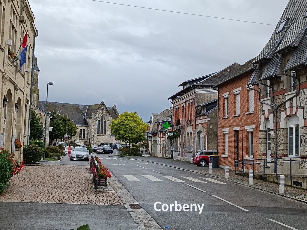
But I had no reason to stay there, so I continued on, still following the Chemin du Roi track through the forest. This eventually brought me to a junction where I followed the D62 road into Corbeny, my destination for the day. I was booked into an auberge, and having had nothing to eat since leaving Laon, the first thing needed was a beer and something to eat. After that, and without the rucksack, I took a stroll around the village. Corbeny stands on a road known as the Chemin des Dames. Unlike its more grandiose sounding neighbour, the Chemin du Roi, the Chemin des Dames is named for good reason. Apparently, the two daughters of Louis XV liked to visit their father’s former mistress, the Countess of Narbonne. Presumably to gain royal favour, the count developed the road so that it was more suitable for the ladies to travel by coach, and so it became know as the Chemin des Dames.

The area around Corbeny was the scene of very bloody battles in WW1. In 1914, the German army took as stand on the Chemin des Dames after the Battle of the Marne, stopping the French advance. After that, things remained relatively static until 1917. In April of that year, General Nivelle oversaw a French offensive. He conducted a six-day barrage with over five thousand guns. So there was no element of surprise in the attack. The French troops charged towards the German lines on 16th April 1917. The German army was ready, and the French lost over 160,000 men in nine days of the battle. The French army almost mutinied, Nivelle had to resign in disgrace, and Petain took over to restore order to the army. After the German offensive of 1918, and the subsequent pushback by the allies, there was a third battle in August 1918.
With all of that going on, it is no wonder that the church in Corbeny was completely destroyed during WW1. A new church was built in the 1920s, and it houses fragments of statues from the original church. Today, all is peaceful in the area except for the heavy lorries hurtling up and down the D1044, which is the main road through the town.
