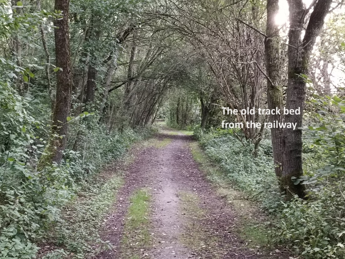
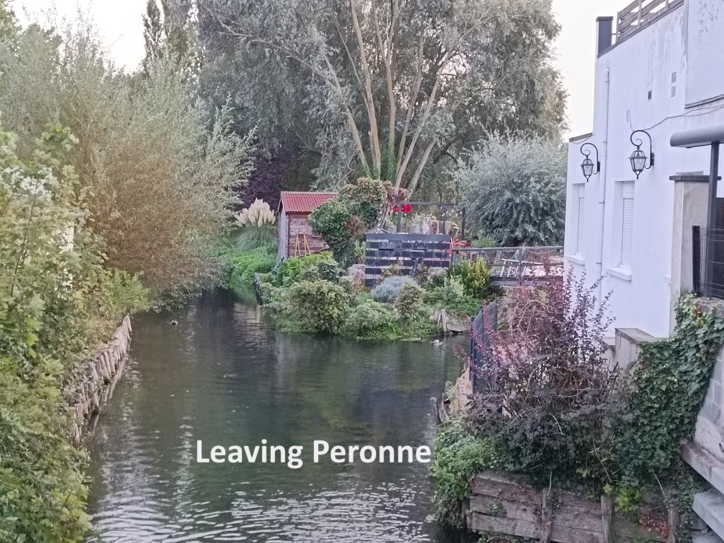
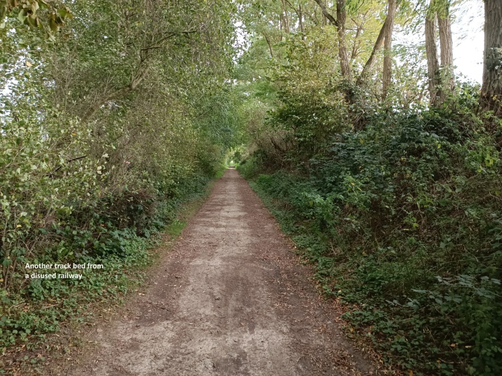
I slept well at the auberge, and next morning, I was up early, and soon I was on the trail. I was quickly across the Somme at Flamicourt, and then I left the streets as the trail took to the fields and woods. After a time, I noticed that the trail was unusually flat, and I remembered that I had passed a former railway station on my way out of Peronne. I came to the conclusion that this must be the track bed of a long disused railway line, and it turns out that I was right.

In the 1860s, a change to the law gave individual French départements more control over the approval and construction of local rail systems. The big railway companies were not interested in developing more local networks, and so it was that the Compagnie des chemins de fer de Picardie et des Flandres got approval to build a line in the area of the Somme. The line was to run from Saint-Just-en-Chausee, south of Amiens, to Cambrai. Approval for the line was granted in January 1869, and in September 1873, it reached Peronne. A month later, the section west of Peronne was opened, the section that I was not walking as part of the Via Francigena. It reached Cambrai in 1876. In 1880, one of the larger railway companies, the Compagnie des chemins de fer du Nord bought the line. It had operated independently for just four years. The line developed, and in the early years of the twentieth century, the traffic was enough to justify upgrades to station buildings, including Peronne. However, the line was heavily damaged during the various battles of the First World War in the area. It was restored again, but was again damaged in 1940 during the invasion of France. Services were again restored, but after WW2, traffic never regained the former levels. Passenger services stopped completely in 1970, though freight continued for a few years on parts of the line. Today, two very short sections of the line are still used for freight traffic, but most of it has been completely taken up.
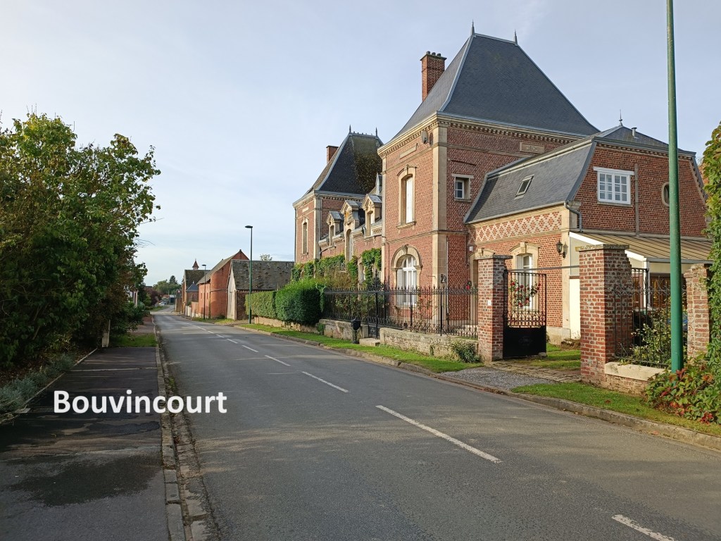
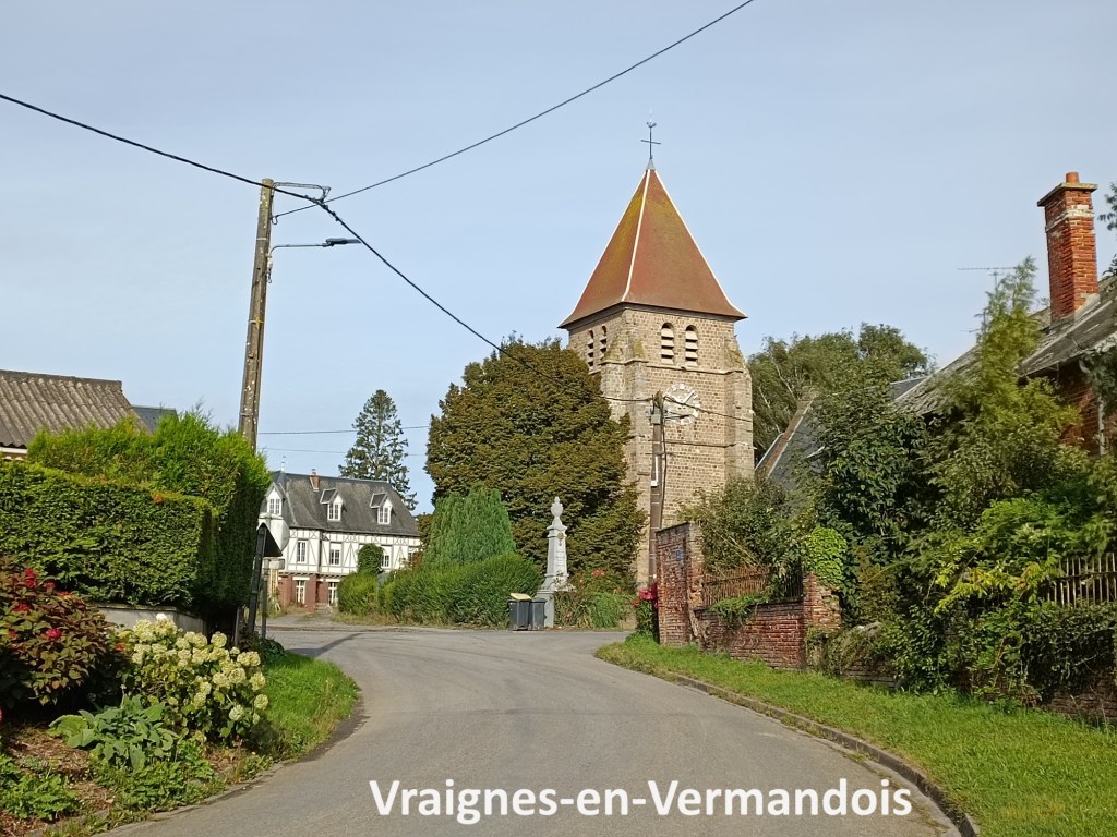
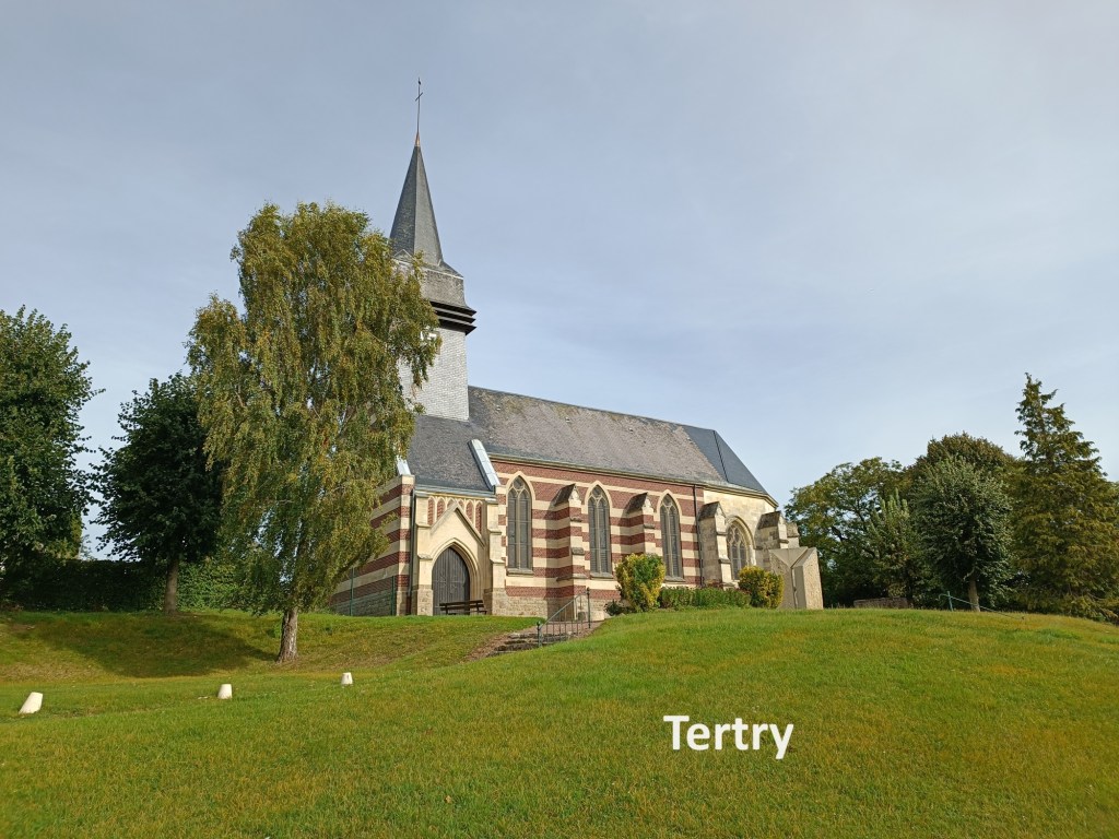
Thus it was that I had a flat walk for quite a few kilometres, bypassing the village of Doingt, and eventually reaching Cartigny. I left the route of the old railway line at Cartigny, and headed out, first on the D194, and then on country lanes to reach Bouvincourt. More lanes brought me to Vraignes-en-Vermandois. I didn’t stop, but simply kept on going. Tertry was next, another small village with nothing to offer the hiker. From there, the trail twists and turns before reaching Trefcon.


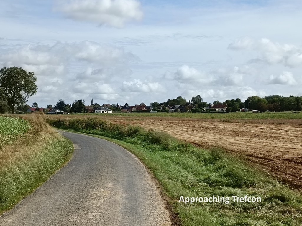

The guidebook lists Trefcon as the end of a stage, though I had not planned to end my day’s walk there. Nevertheless, I had hoped I might find a bar or café offering refreshments, but there was none. After a brief look around, I went on again.
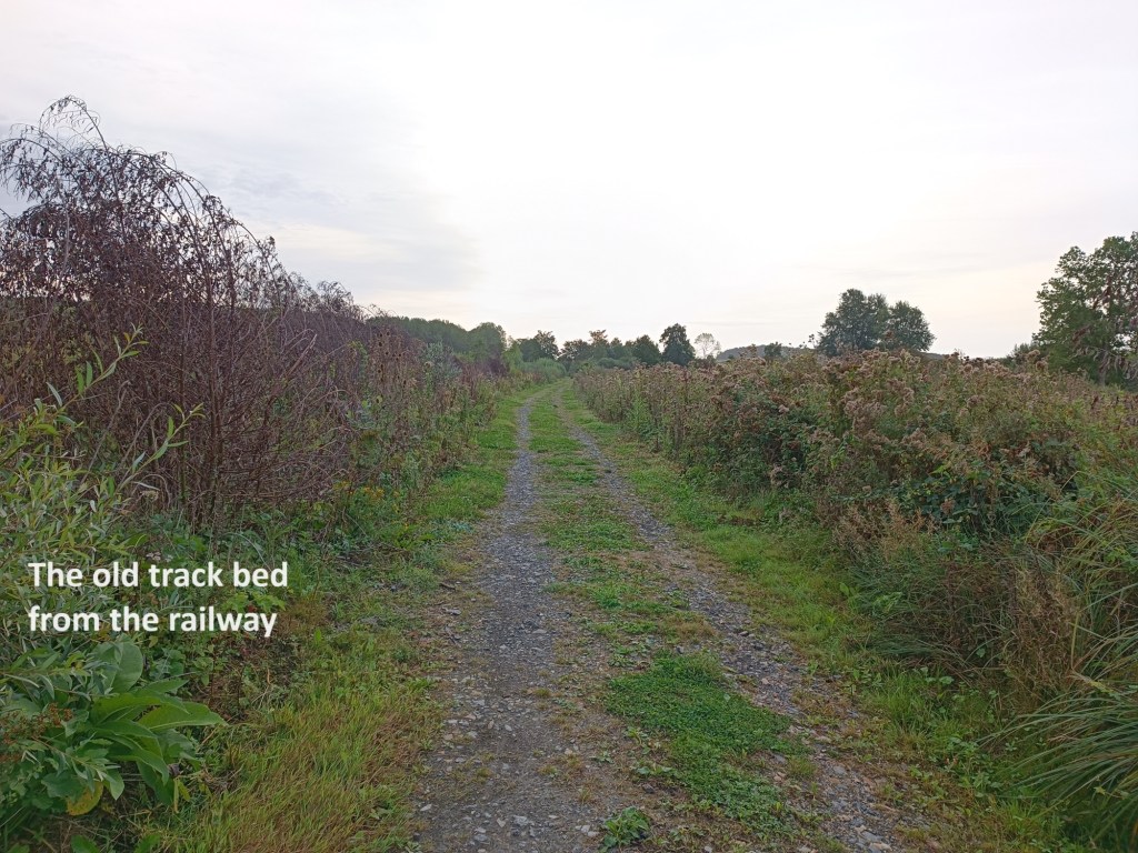
I followed the trail on to the villages of Villeveque, Attilly, and Savy. At Savy, the trail comes out of the fields and reaches the northern edge of the village. And once again, I met an old railway line. This time, it cannot be that old, as there were still rails half buried in the ground. I followed what seemed to be the old track bed around the edge of the village to the D68, the main road from Savy to Saint Quentin. From there, the trail follows alongside the road, still on what seems to be an old track bed. This old railway has an interesting history. In the 1870s, a line going northwest from Saint Quentin was proposed, and it started operations in 1880. A second line, going southwest, was proposed in 1906, under the direction of the Compagnie des chemins de fer départementaux de l’Aisne. Because the line spanned two departments, Aisne and Somme, agreement between the two administrations was required. The section at Savy began operations in 1910, and the full line to the village of Ham was operational by 1912. Like so much in the area, the line was damaged in WW1. It was restored after the war. Passenger services stopped in 1955, and the line was finally shut down and dismantled in 1990. That explains why a small amount of rail was still in the ground at Savy
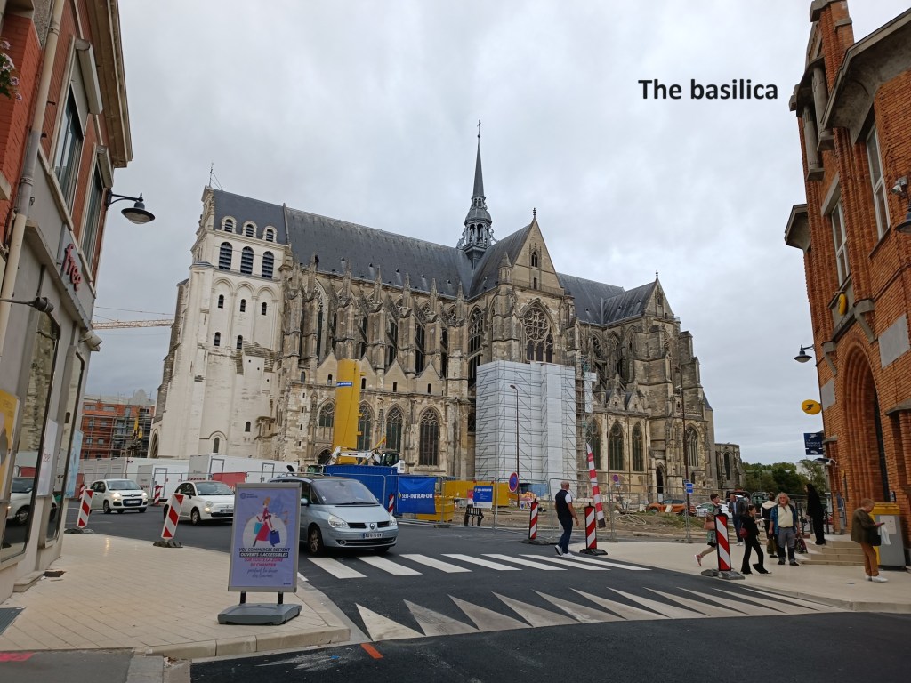
I followed the railbed parallel to the road as far as Maison Rouge, where it veers off to the right. That soon brought me to the edge of the city, and from there it was downhill into Saint Quentin itself. I had clearly left the old railbed somewhere along the way, though I am not entirely sure where. As I headed on down into the city, the great bulk of the Basilica stood out on the hill in the town centre. I went on in, crossing the Somme again to reach my accommodation for the night.
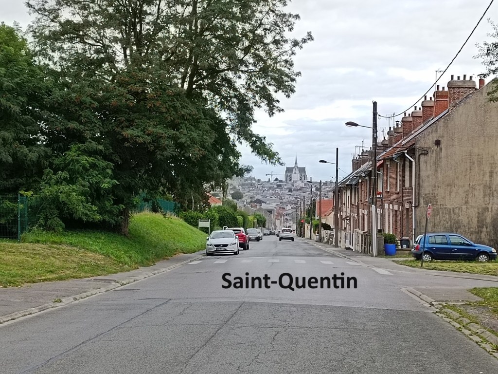
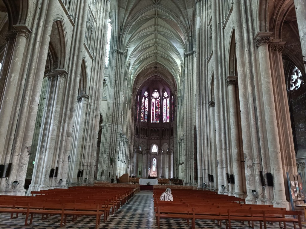
That evening, I went back into the city centre in time to see some of the town while it was still daylight. The basilica was still open. It is a magnificent building. Apparently, there have been religious buildings on the site since the fifth century. The first cathedral was built in the tenth century. Later, the bishops decided they needed a bigger, more impressive building, and the current cathedral was built between the twelfth and fifteenth centuries. It was damaged by fire in 1545, 1557, and 1669. During the French Revolution, it was used as a stable. In the Franco-Prussian war of 1870, it was damaged again. But the worst damage to the basilica came during WW1. Saint Quentin was under German occupation from August 1914. The Basilica was undamaged until July 1916, when an allied plane dropped a bomb on a wagonload of explosives in the city, doing terrible damage. In August 1917, a fire in the roof structure did more damage. The French army reoccupied Saint Quentin in October 1918, to find the Basilica almost in ruins. Saint Quentin’s basilica was just one of many churches and other buildings that needed to be restored or completely rebuilt. Looking at the building, it would be tempting to think that the different style and colour of the western end of the building is part of that reconstruction, but it is actually much earlier.
After surveying the basilica, and contemplating the maze that decorates the western end of the nave, I went for something to eat. I enjoyed what must be the best Magret-de-canard I have ever tasted. And then it was back to my accommodation to get some rest and be ready for the morrow.