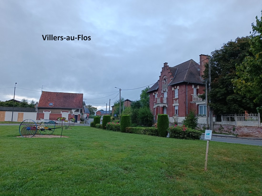
Early in the morning, I made myself a light breakfast, then gathered up my things, and got ready to go on the trail. I left the accommodation and went back to the centre of Villers-au-Flos. I probably could have gone a little further east and rejoined the official trail there, but I chose to do it my way. I left the village going south. This area of the trail was in territory occupied by the German army for most of WW1, and I passed several signposts for German and allied cemeteries. The knowledge of the past conflict and the carnage that happened here contrasts starkly with the peaceful agricultural environment of the present.
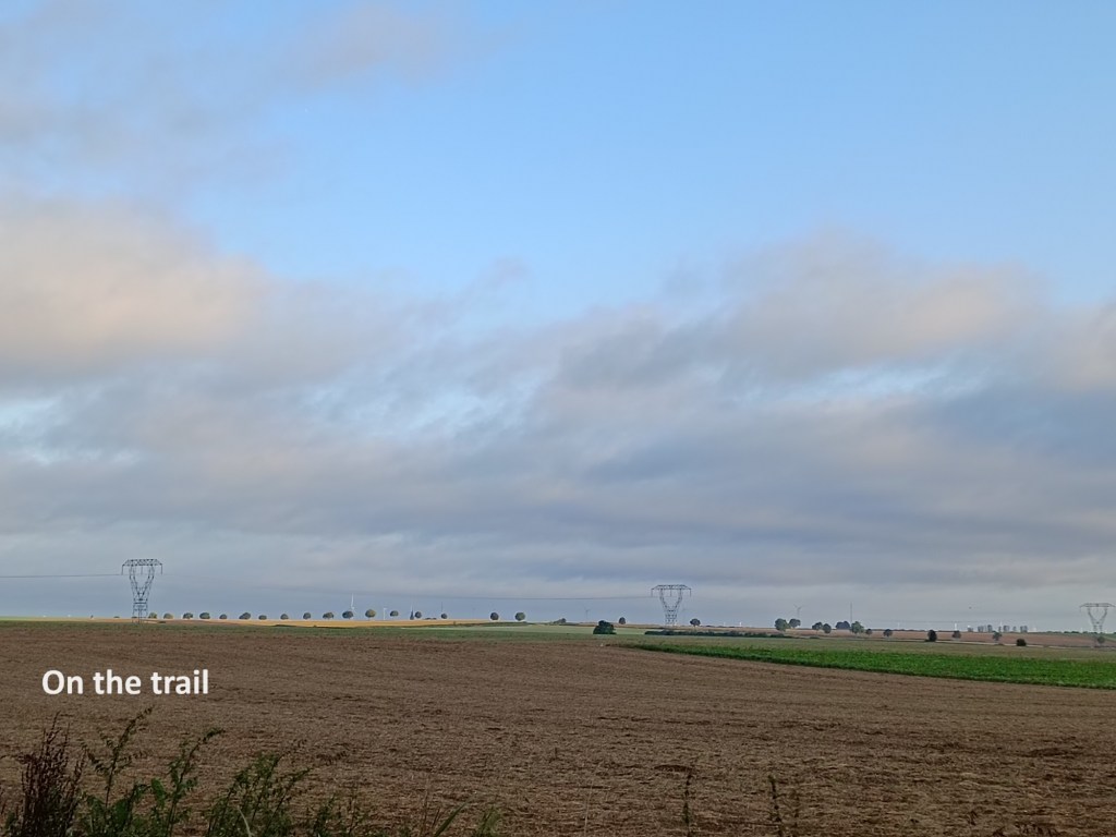
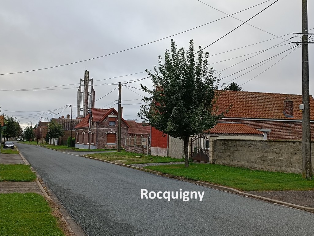
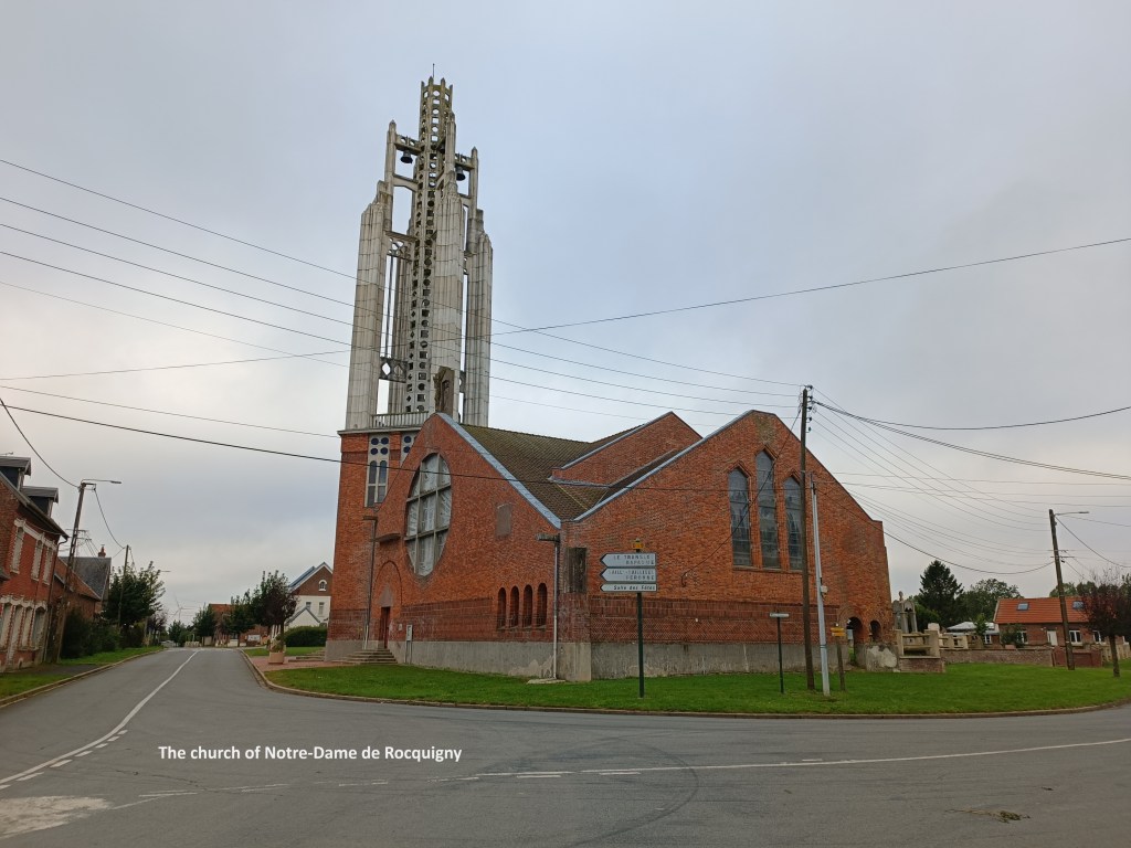
I rejoined the official trail not far from Villers-au-Flos, southwest of the village. It was a cool morning with a light wind, but quite pleasant. The skies were a mixture of blue and grey, but rain seemed unlikely. Once back on the official trail, I followed it into the village of Rocquigny. This is another village that was in the combat zone of WW1, and the church was completely destroyed. However, no French village seems complete without its church, and the new one was built in 1929, based on plans from the architect Jean-Louis Sourdeau. The design is an interesting composite of red brick and reinforced concrete. The bell tower is made from that latter material, and it must be said that it looks like something of an afterthought that was added to the building. In the 1990s, the church had deteriorated that its demolition was in prospect, but it was declared a national monument in 2001. This led to deconstruction and rebuilt, with the work completed in 2013.

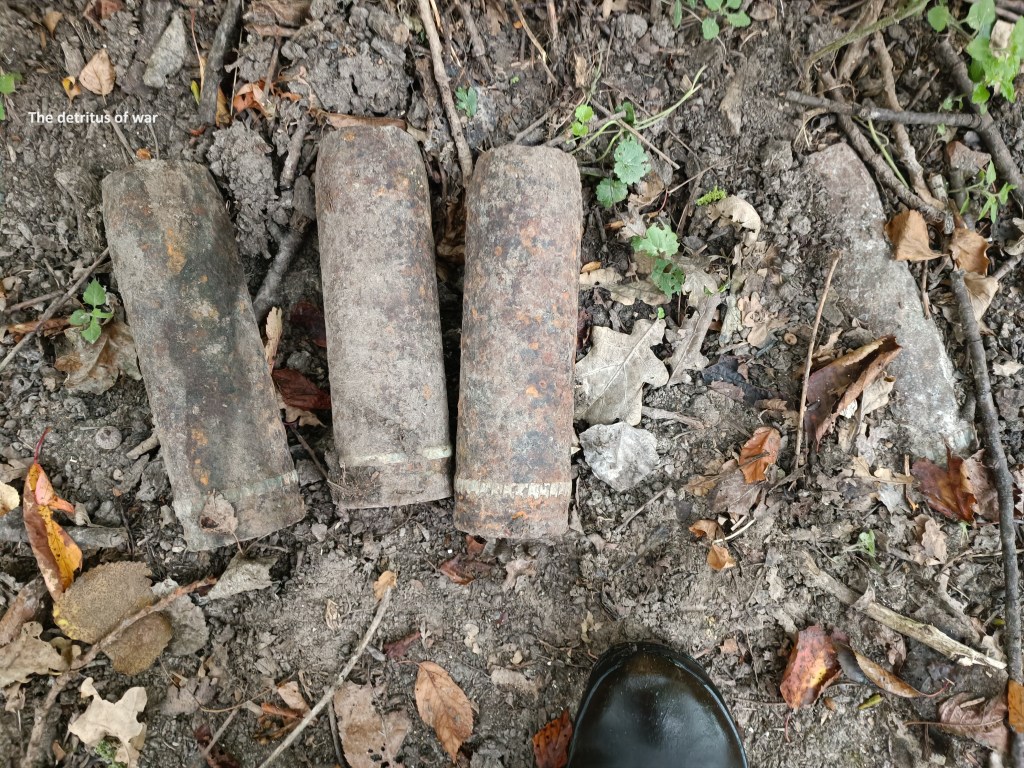
The area on this stage of the walk was part of the Battle of the Somme in WW1. This is largely seen as a British battle in terms of the allied forces. However, there was a French contingent in the battle, and I passed a monument to their actions along the way. At one point, I came across what initially looked like shell casings, but I soon realised must be sabot rounds, solid artillery rounds used for ranging the weapons and without explosive charge. Out of respect to those on both sides, I left them where I found them. The trail brought me to the east of Sailly-Saillisel, and on to Bouchavesnes-Bergen. The village was originally called simply Bouchavesnes, and it was here that a French force charged the German lines with fixed bayonets on 12th September 1916. The battle had been going on since July 1st, but on this particular day, the French overran the German trenches until artillery stopped them. Their advance was one of the more successful sectors of the battle, with an advance of 10km. The commander of the French forces was General, later Marshall, Foch. After the war, a wealthy Norwegian industrialist paid for the erection of a statue of Foch, and in gratitude, the village renamed itself Bouchavesnes-Bergen, adding the donor’s hometown name to their own.


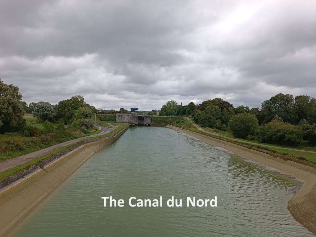
Today, Bouchavesnes-Bergen is a peaceful place with little other than monuments and cemeteries to remind us of the carnage of a century ago. I went on south from the village to the Canal du Nord. While canal building is mostly associated with the era before steam and petrol, the Canal du Nord is a relatively modern construction. Building began in 1908 with the purpose of transporting coal from the mining areas to the north. Construction halted during WW1 and was only completed later.
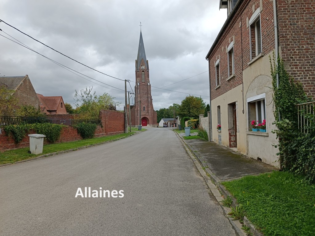
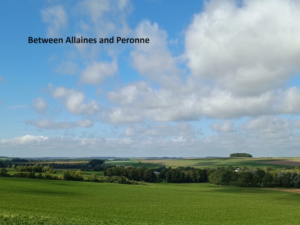
The trail makes a detour to cross the canal, and just touches the edge of the village of Allaines before going back out into the countryside again. After a few twists and turns, it reaches the edge of Peronne. After I crossed the D1017, I found a restaurant that was open, and since it was now after twelve noon, I stopped for lunch. After all, as I mentioned above, I had only had a light breakfast. Thus fortified, I went on to the centre of Peronne. Few towns in history can have had the violence that Peronne has endured over the centuries. Apart from Viking raids, it suffered a siege in 1536, was partially destroyed in the Franco-Prussian War of 1870, devastated and destroyed in WW1, and bombed in 1940. But it still survives. When it wasn’t being fought over, it was an important stopping point on both the north-south and east-west trade routes between France, Germany, and Belgium. Today, it is a relatively quiet market town.
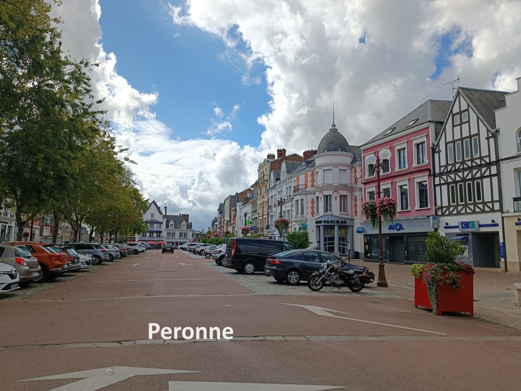
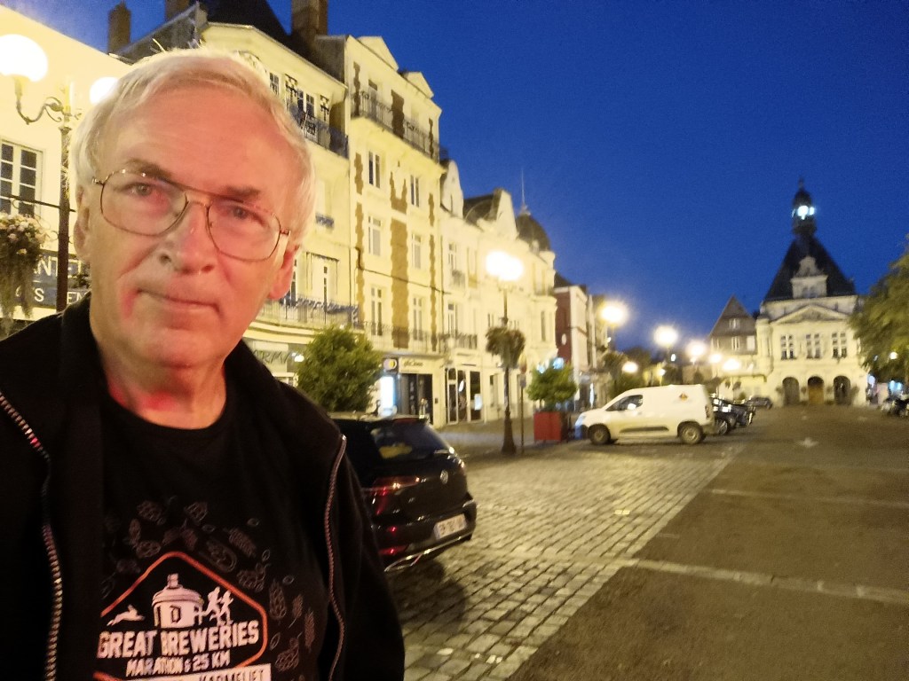
I was too early to register at my accommodation for the evening, and auberge near the town centre, so I took some time to just sit in the town square and watch the world go by. Once I did get settled into my accommodation for the night, it was time to go to the local launderette, as service I badly needed at this stage of my travels. And of course, once I had refreshed my apparel, I could relax. I good dinner, and a good night’s sleep were well in order.