
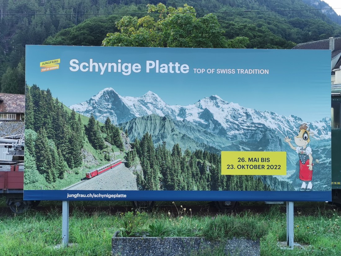
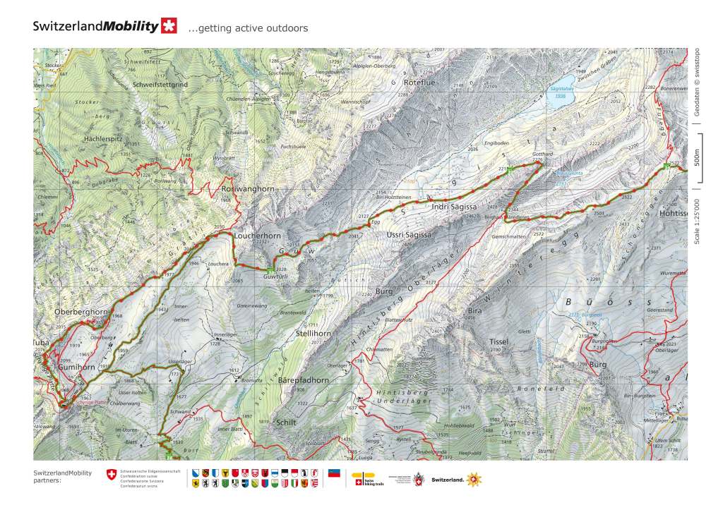
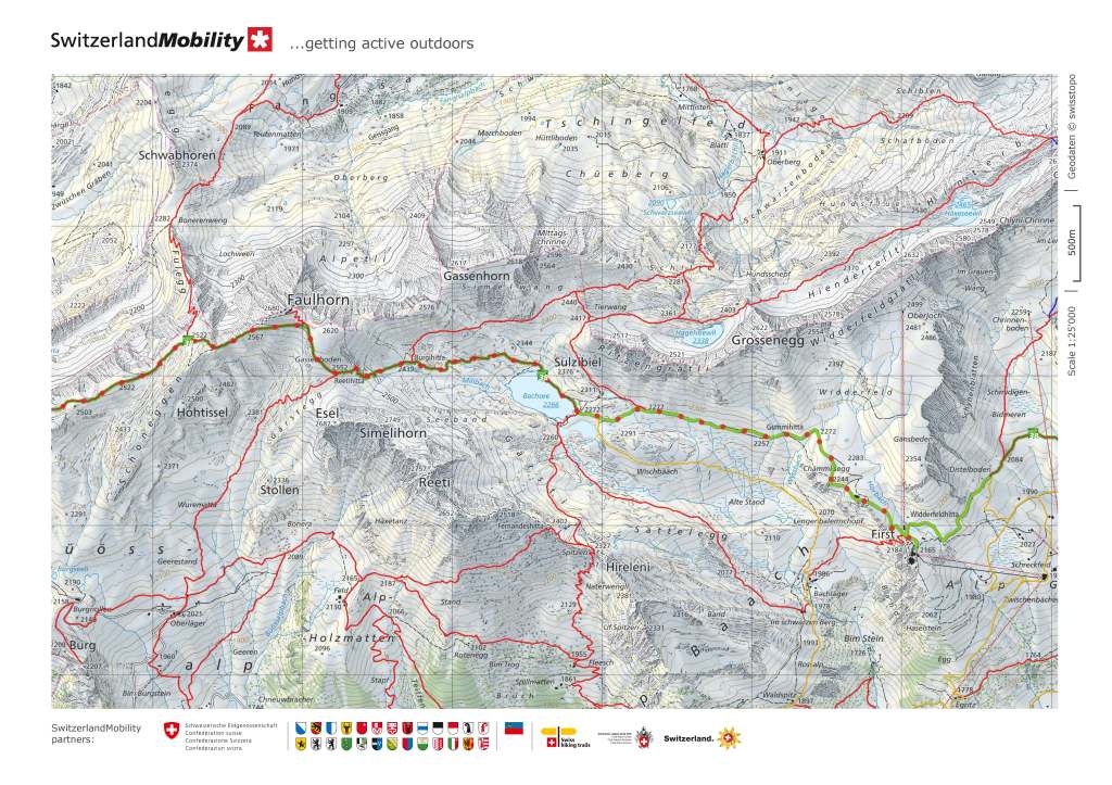
Having made the ascent of Säntis a few weeks ago, I decided that this years walks should include some more high level outings, perhaps not the highest in Switzerland, but higher than the Jura, which are my local mountains here in Basel. And so I chose to make the walk from Schynige Platte to First. This is part of the Bernese Oberland. My route took me first to Interlaken, and then, using the Schynige Platte Bahn (SPB) to Schynige Platte itself.
The SCB is worth a blog post on its own, and if this blog were about interesting narrow gauge railways, then SCB would definitely feature. But this blog is about walking, so I will just gloss over the railway part of it. Suffice it to say that it is a cog railway all the way. It ascends nearly 1400m over a distance of 7km, with 67 tight curves and 4 tunnels along the route. It was built between 1890 and 1892, which was quite an undertaking, given the technology of the time. The railway was electrified in 1914, and operates from May to October each year.
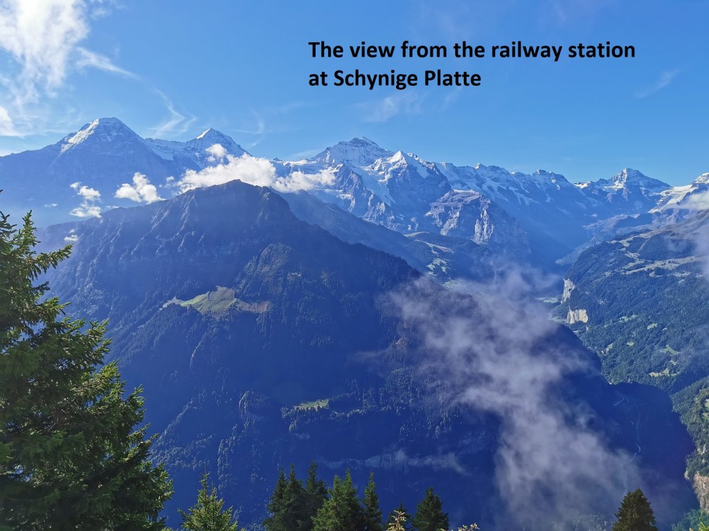
Stepping off the train, I was given a wonderful view of the higher alpine peaks to the south.
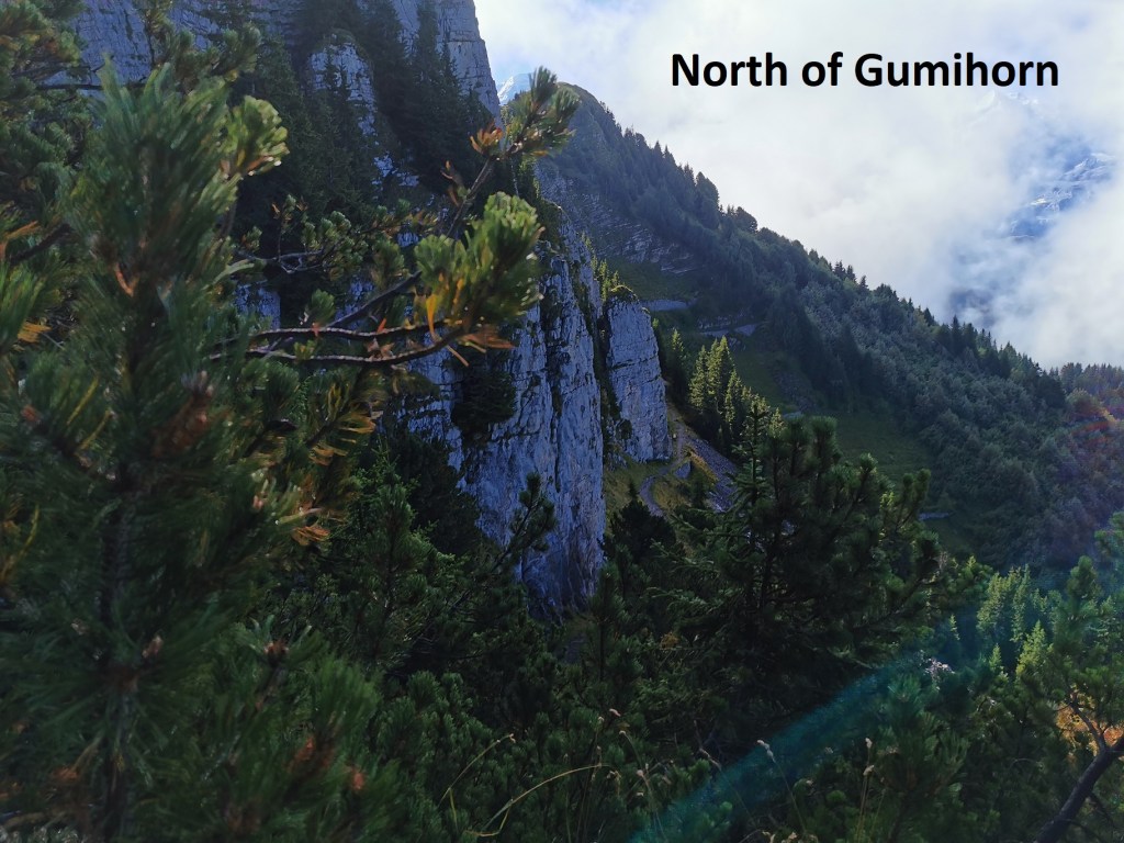
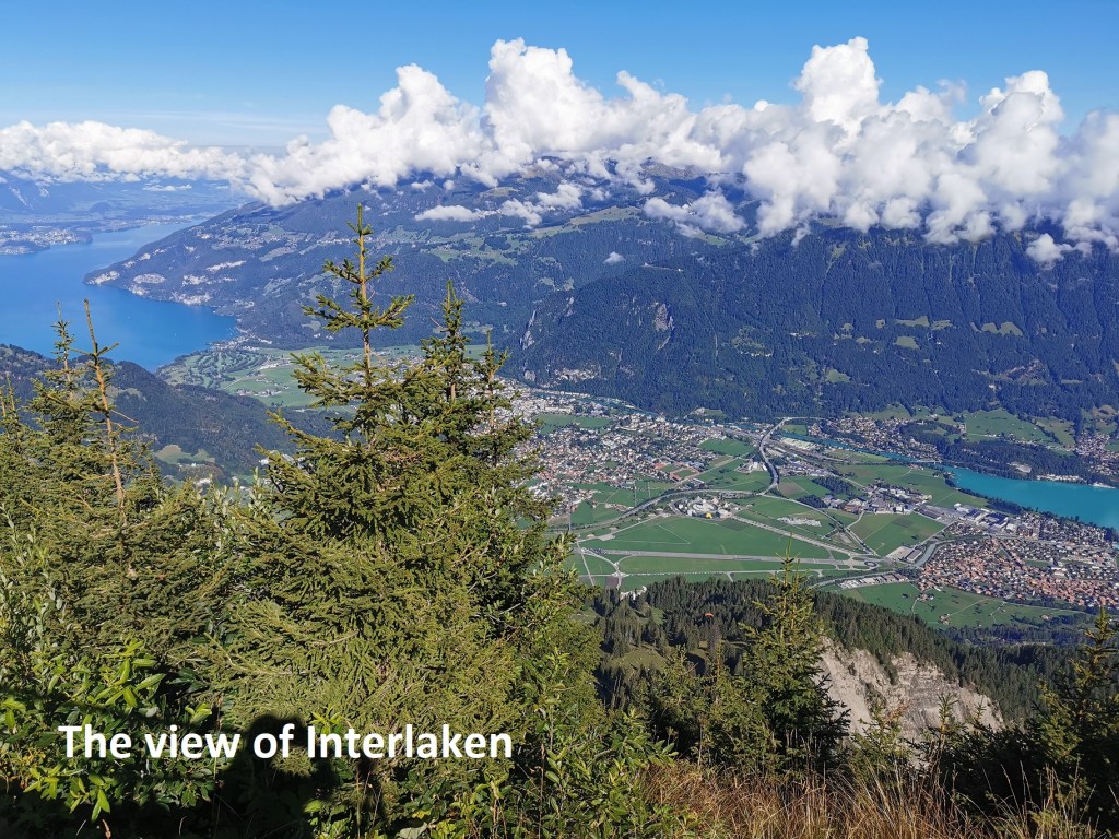
But I took little time to enjoy the view. I was quickly on my way. The route winds around through the trees on the north of the Gumihorn before emerging onto the ridge at the Oberberghorn. From there, there were once again wonderful views, but this time of the Interlaken valley to the north, and the mountains beyond. But my direction was eastwards, and from Oberberghorn, I could see the trail as far as Loucherhorn.

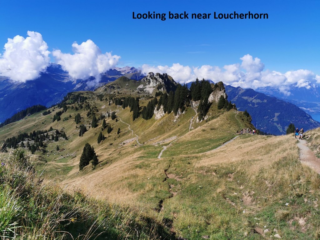
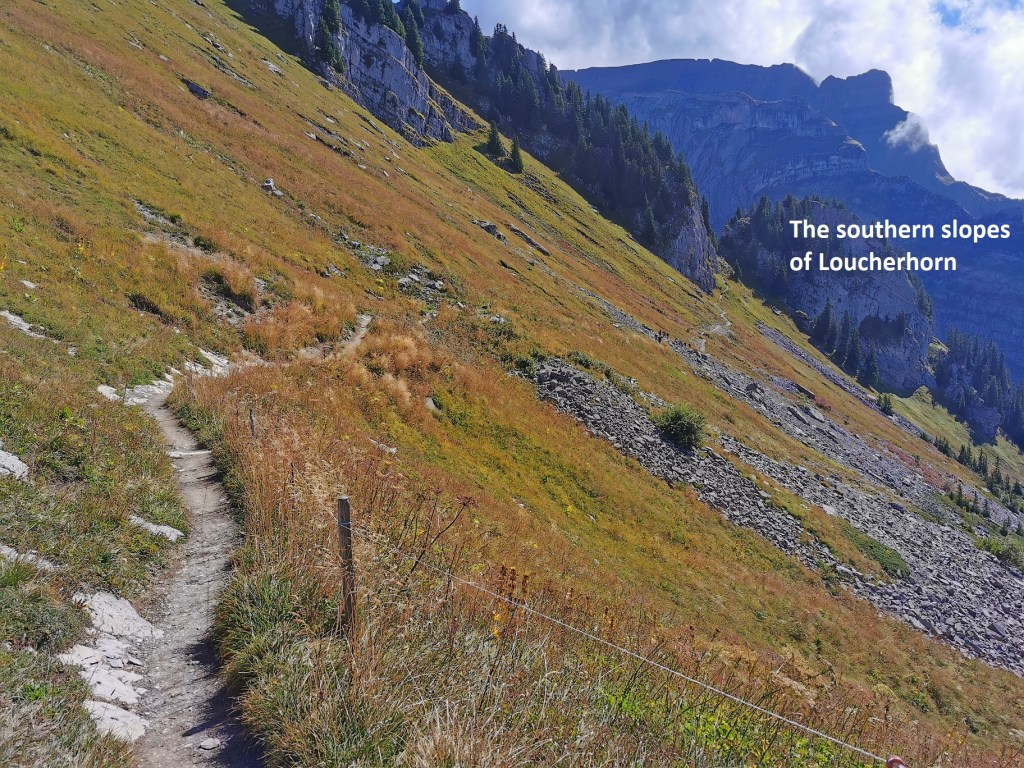
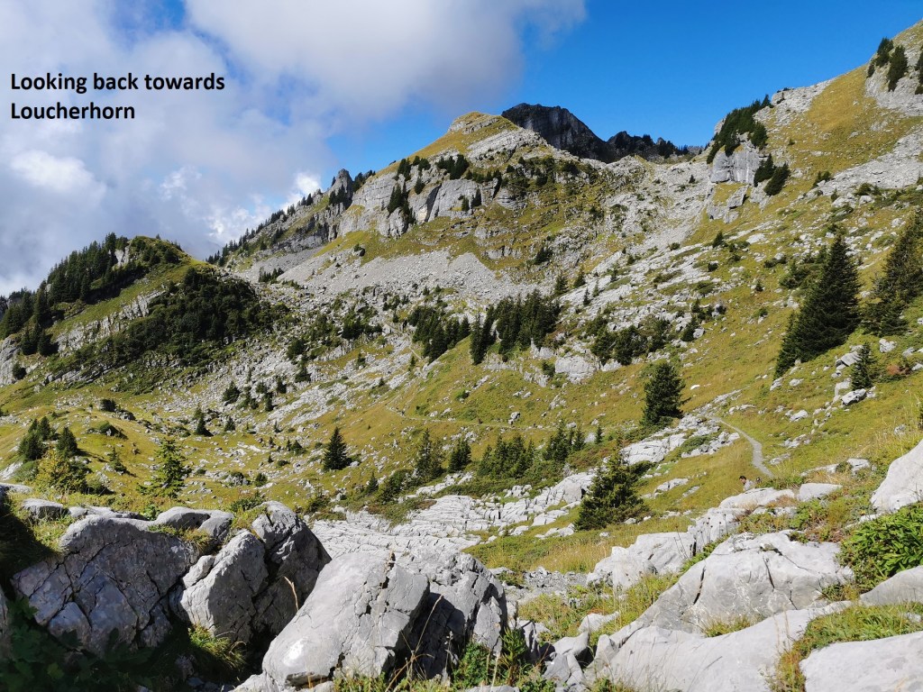
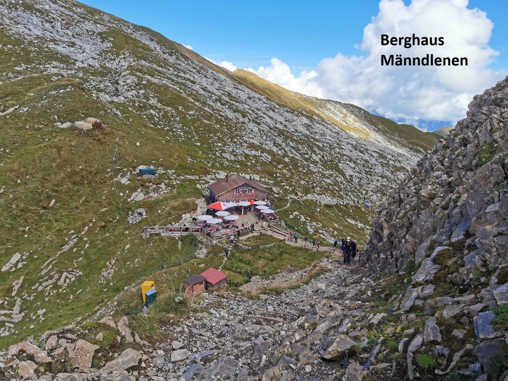
The trail does not ascend Loucherhorn, but instead turns south, and goes eastwards again along the southern slopes. It crosses over a shoulder of the mountain, and turns slightly northwards before resuming its eastwards directions. While there were some scrubby trees on the slopes of Loucherhorn, the route then goes higher, too high for the trees to grow. As I went eastwards, clouds started to roll in from the south, but it was still relatively sunny when I reached the Berghaus Männdlenen. This isolated refuge, seemingly in the middle of nowhere, was doing a brisk trade in refreshments for hikers. I stopped long enough to have a soup and sausages. While I ate, I wondered how they get supplies to places such as this. Probably by helicopter. I haven’t seen a lot of mules in Switzerland.
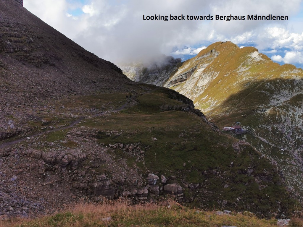
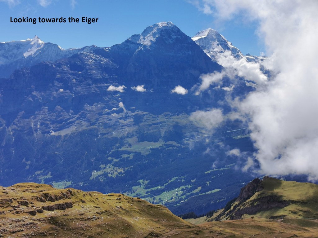
But I had little time for such imaginings. I was soon on my way again. From the Berghaus. The trail ascends again. In places, like immediately after the Berghaus, the ascent is steep, but in other places, it is almost flat. Soon, I was on the ridge, with views of the Eiger to the south.
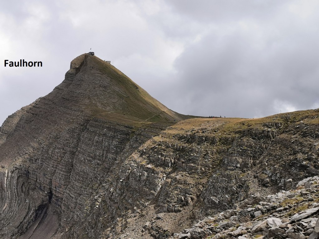
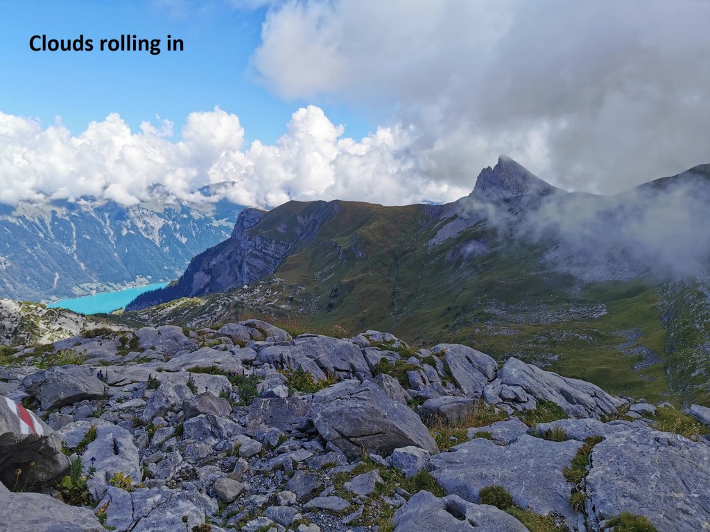
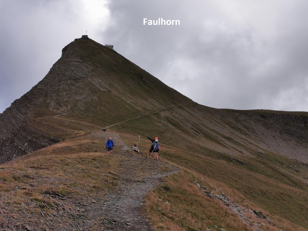
It wasn’t long before the Faulhorn came into view. At 2680m, it would be the highest point of my hike. When it first came into view, the mountain was clear, thought the skies overhead were grey. But the weather gods had decided that I should not enjoy great views from the mountain. As I ascended the last few metres, the clouds rolled in again, and I was surrounded by mist at the summit.
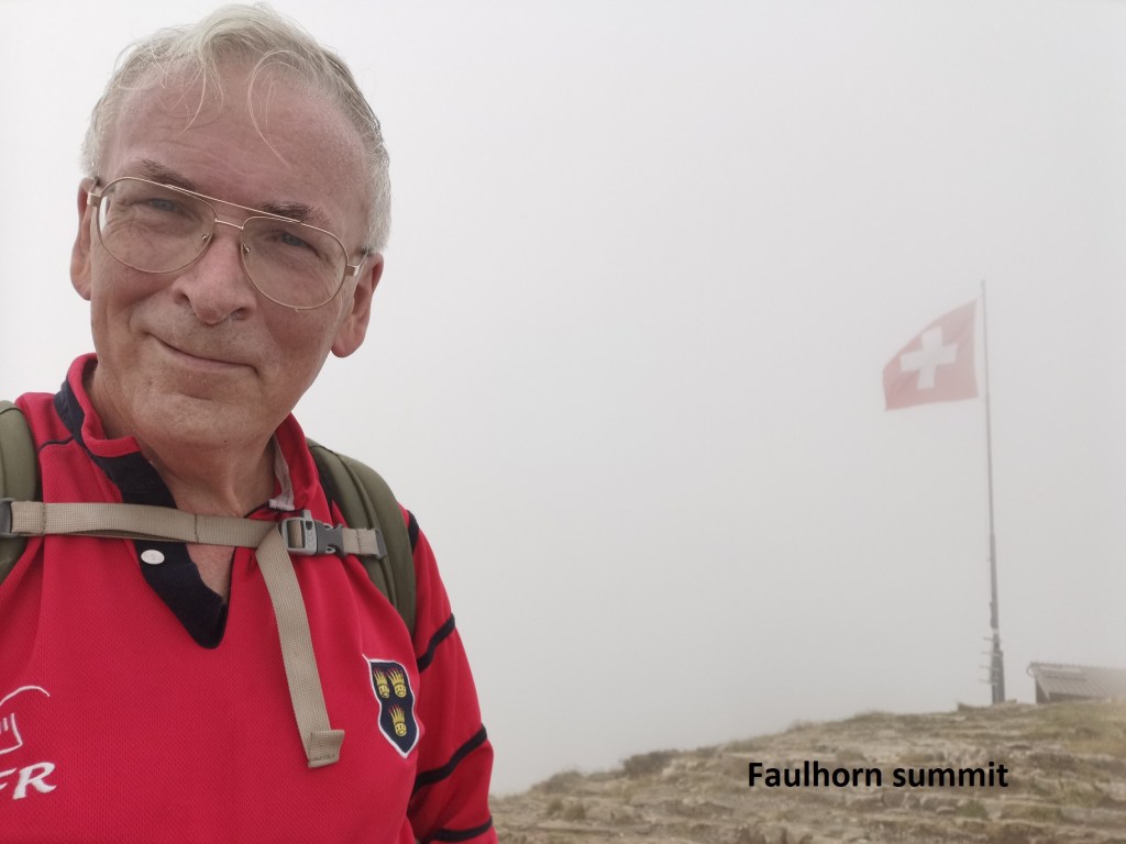
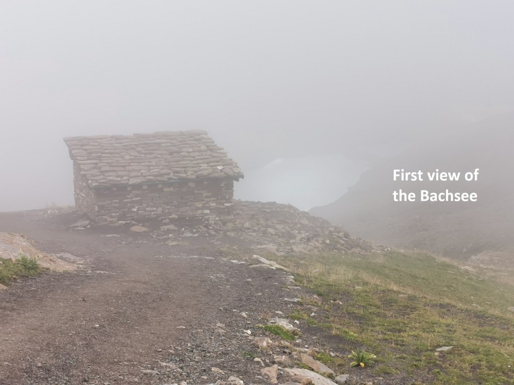
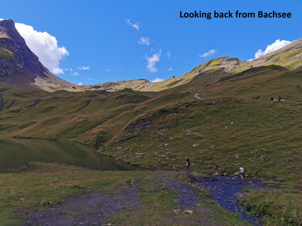
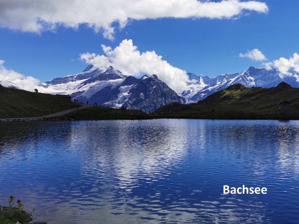
I did not hang around in the mist, but quickly descended to the main trail, which was also in the mist at this stage. My route through the mist was descending now, though it was still misty when the Bachsee came into view. Continuing downwards, however, the mist was clearing, and by the time I reached the lake, I was back in Sunshine. When I turned around to look back over the way that I had come, the mist had cleared completely, even from the higher slopes.

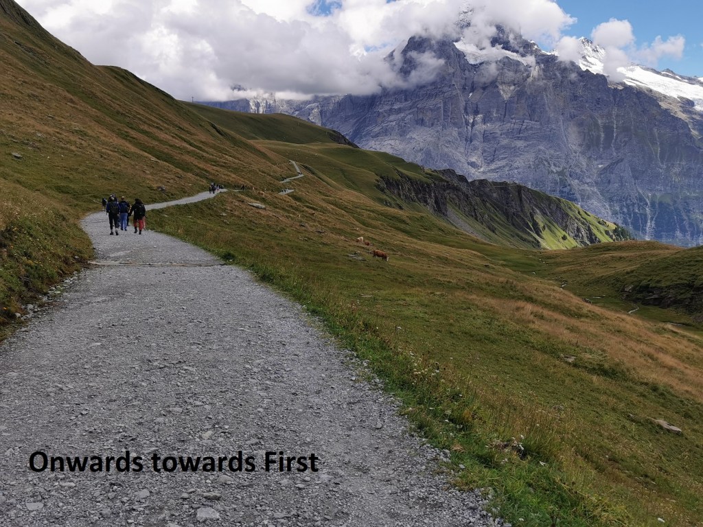
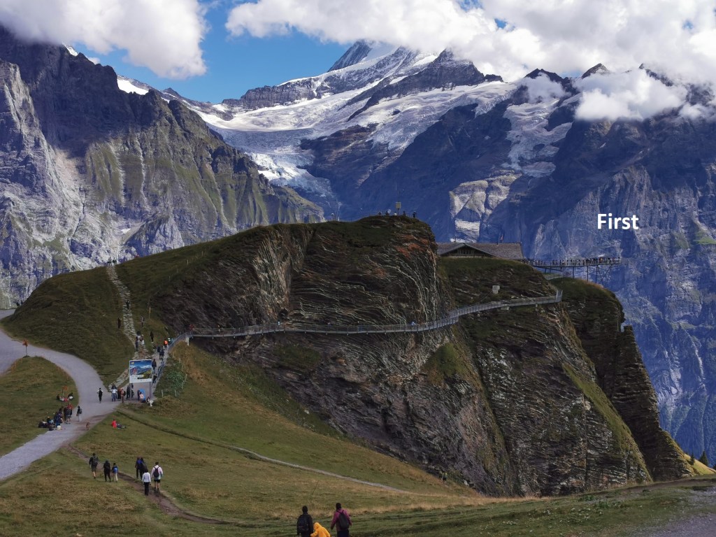
I was now into a tourist area. People take the cablecar up to First, and walk from there to the lake. I was walking the other way, and there was plenty of traffic on the trail for this last stretch. But at last First came into view, the cablecar station and restaurant nestled in against the hill. It is a crowded place on a Sunday afternoon, with day trippers in abundance. All that was left for me to do was to take the cable car down to Gridlewald, and the train back to Basel.
And my total step count for the day was 36,455.

Amazing walk!
LikeLike