
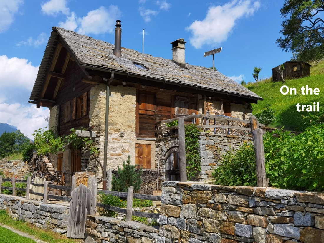
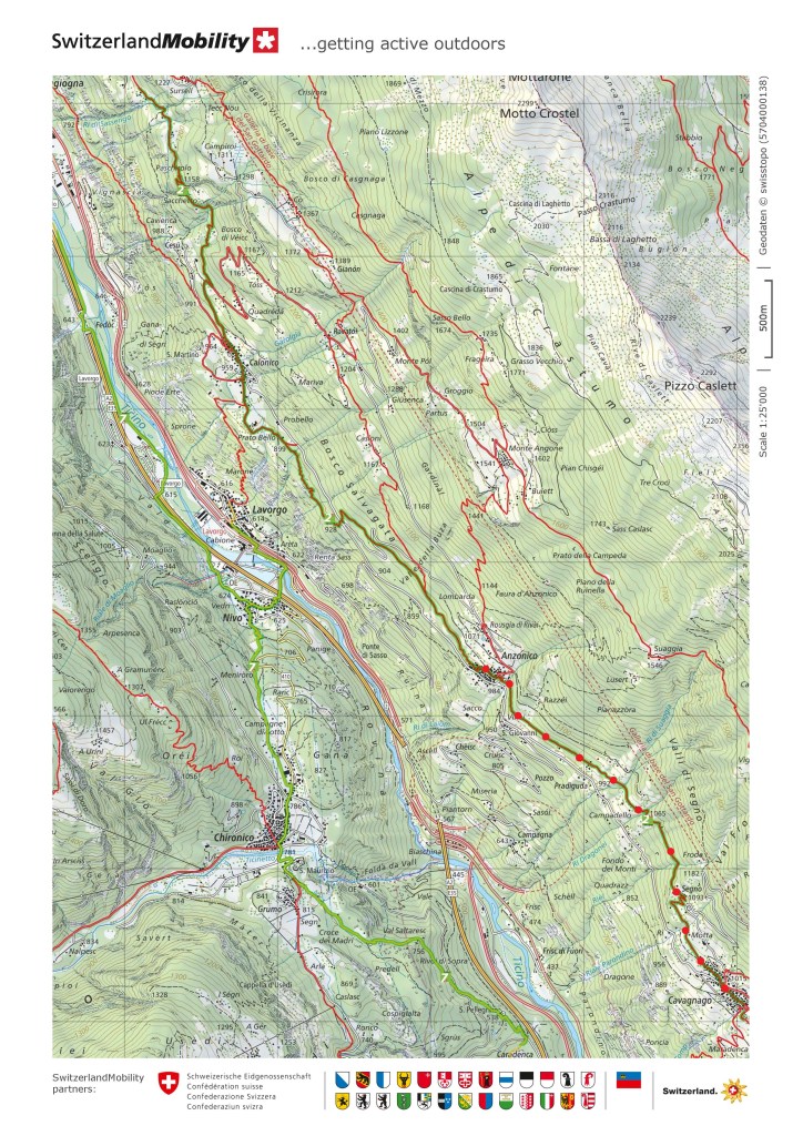
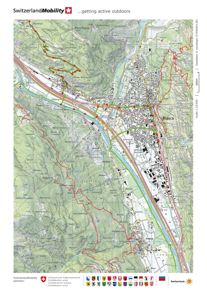
I went back on the trail at the weekend. With just 95km left to go to reach the end at Mendrisio, I want to bring this to a conclusion. However, the logistics of reaching the different sections has become more complicated. Starting from my home in Basel, getting back to Anzonico is not so easy. The earliest that I would get there was ten o’clock. And with rain forecast for the late afternoon and evening, that left a narrow window of time to complete the next section. But I reckoned that I could get to Biasca without much difficulty.
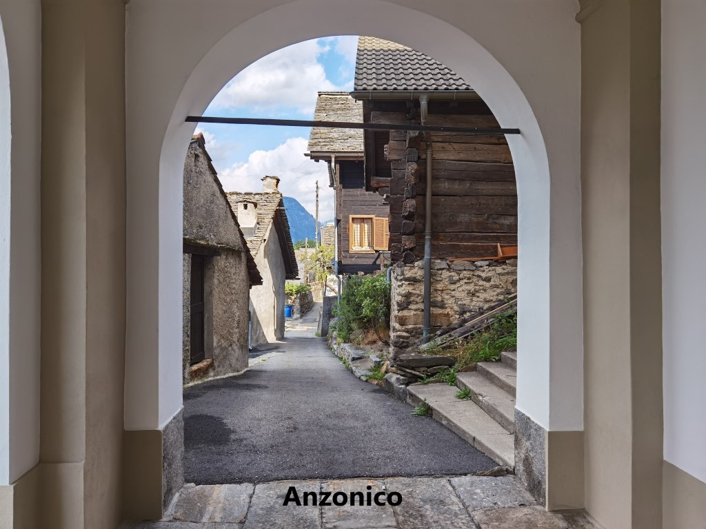
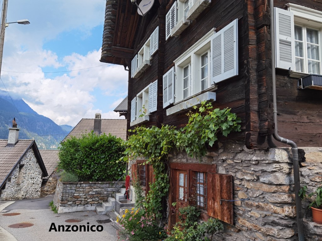
The final part of the journey to Anzonico, in a small bus, is an interesting one. The bus has to negotiate a series of hairpin bends as it climbs to the village. I arrived there in bright sunshine, so before heading off on the trail, I took a stroll around the village. The village goes back hundreds of years, but there was a devastating avalanche in 1667 which destroyed most of the village, including the church, and killed dozens of people. The current village is moved slightly from the original, and includes a new church. There are only about a hundred permanent residents, with the rest of the properties being holiday homes. Space is at a premium, meaning there are small streets and houses very close together. And yes, in the photo here, that really is a street going through the porch of a house, such is the layout of the place.
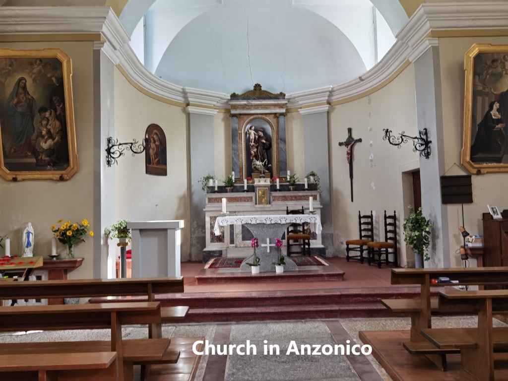
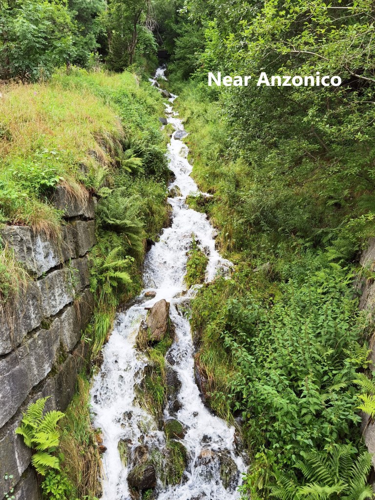
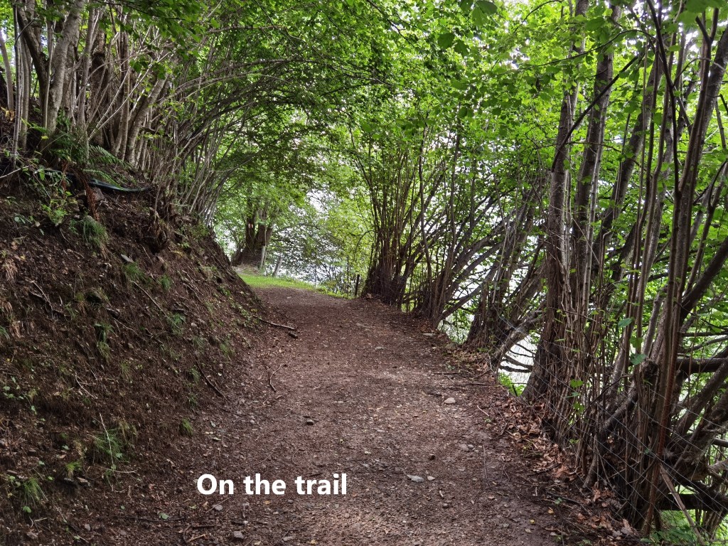
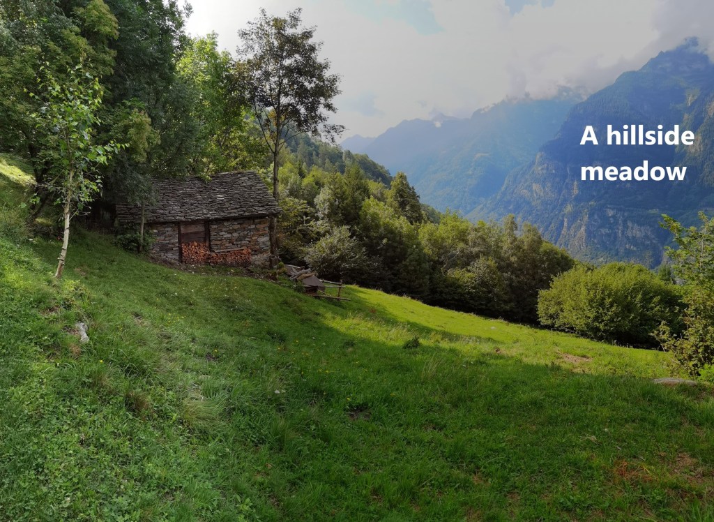
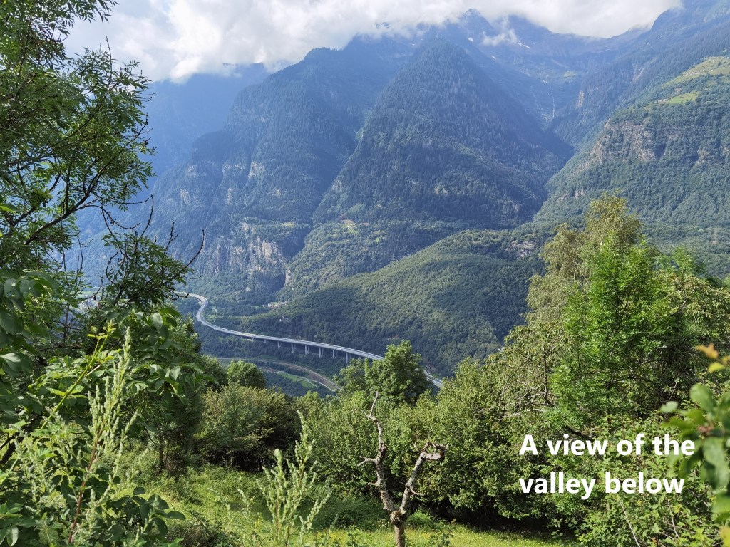
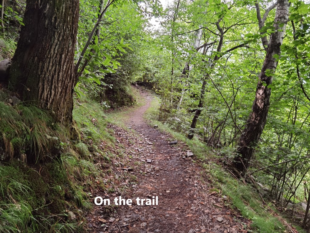
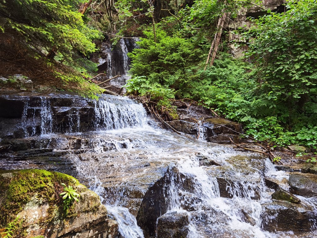
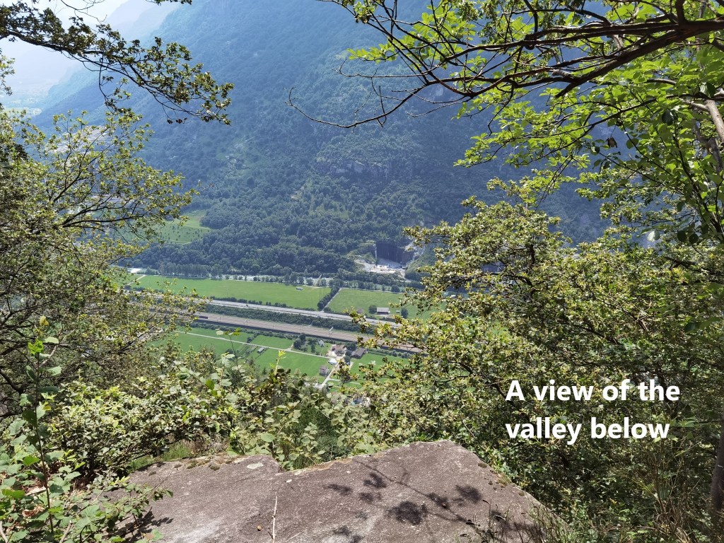
I dropped in at the church on my way out of the village. And I passed my first stream with its white water cascade. Then I was on the trail in earnest. It is a good trail with easy walking. The trees on the right side did not allow great views of the valley below, but in places they thinned out. Some of those places were small fields given over to pasture for animals. But in other places I was looking straight down at the valley.
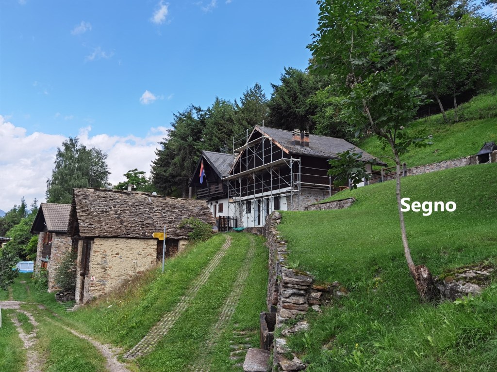
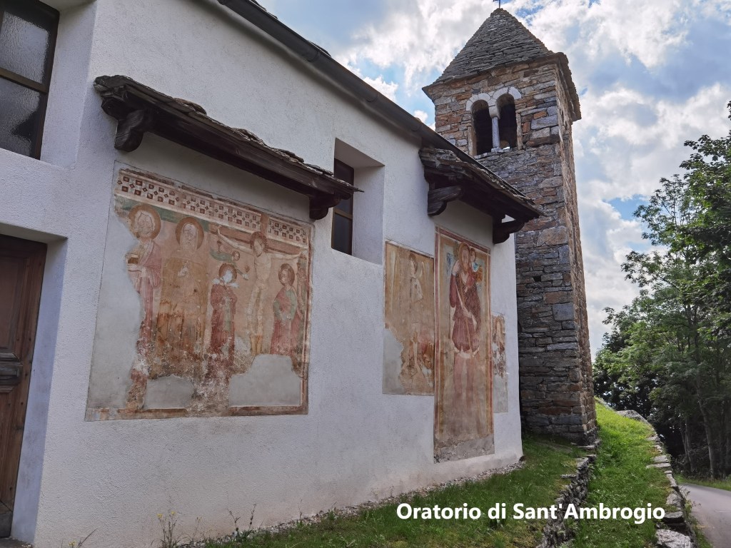
The next village was Segno, though I am not sure if it can really be called a village. It is a settlement of a few houses, but it does have a church. Unfortunately, the church, dedicated to Sant’Ambrogio (Saint Ambrose), was closed. It dates back to medieval times and has old frescoes on the external walls.
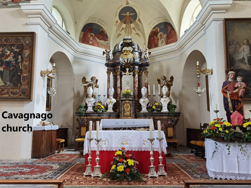
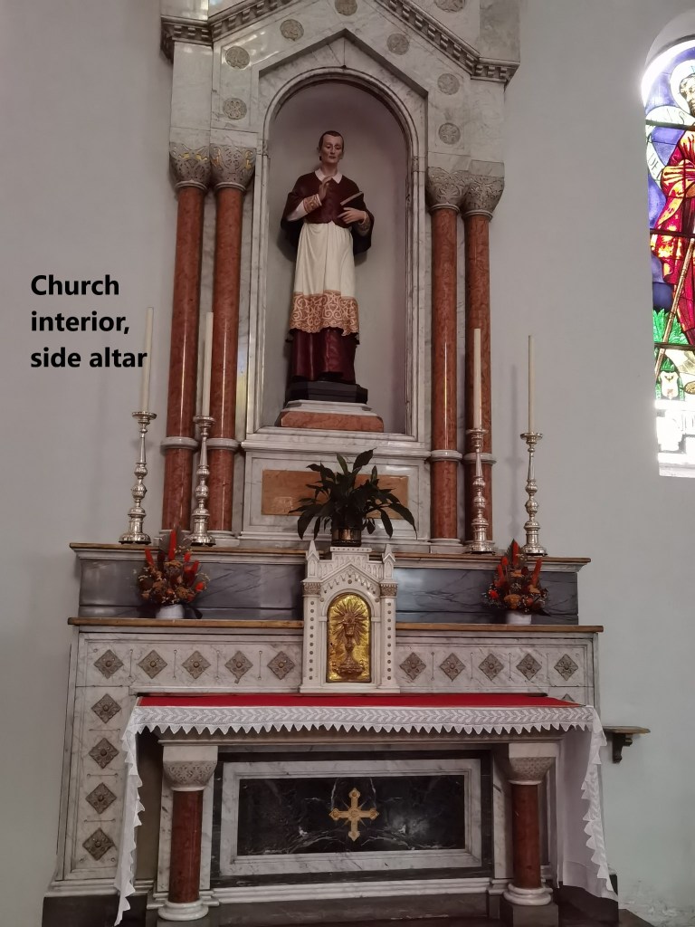
The trail descends from Segno and passes through some pastureland to reach the next village, Cavagnago. Historically, the first mention of Cavagnago was in chronicles of 1270. It was linked to the nearby village of Sobrio. Initially, both villages worshipped at the church in Segno, but in in 1585, Cavagnago and Sobrio formed an independent parish. That did not last long, and Cavagnago established itself as a separate village and parish in 1611. The church in the village dates back to 1587 and was renovated in 1934. One of the interesting and quite unusual features of the church is the series of busts of four bishops on the main altar. The altar itself is solid marble.


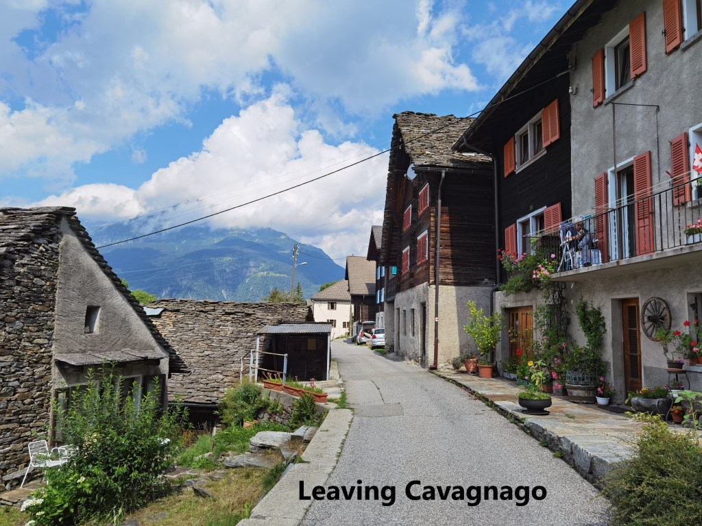
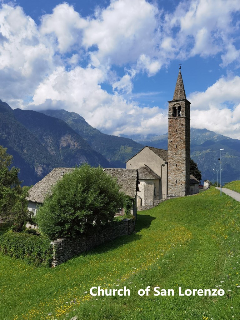
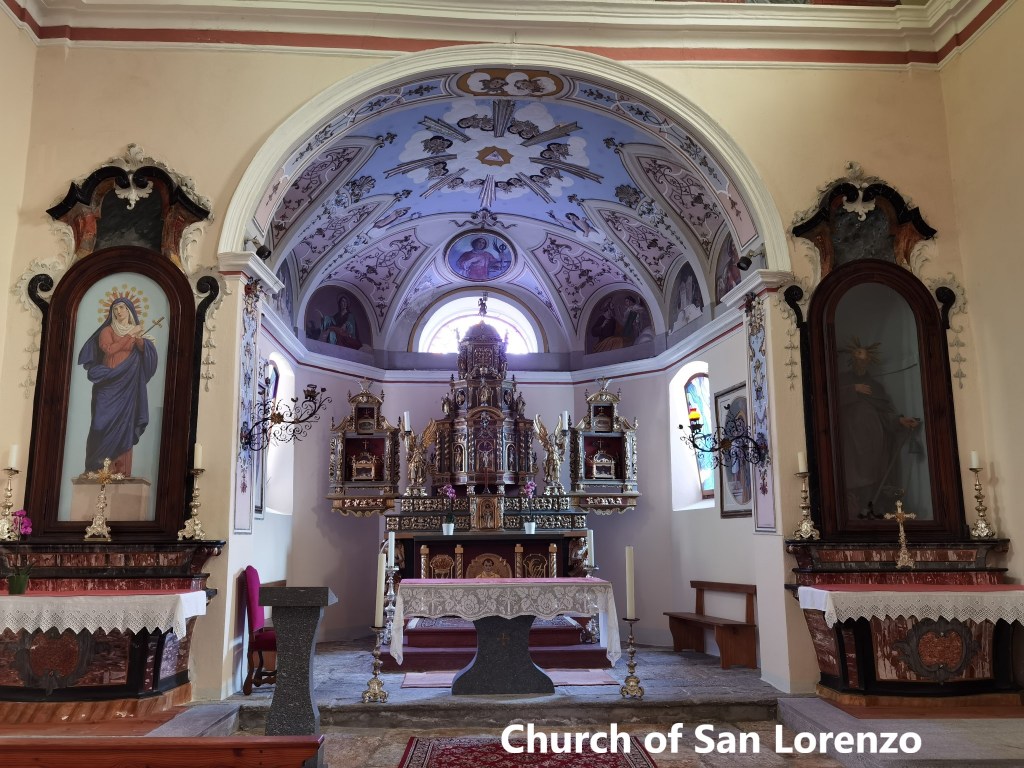
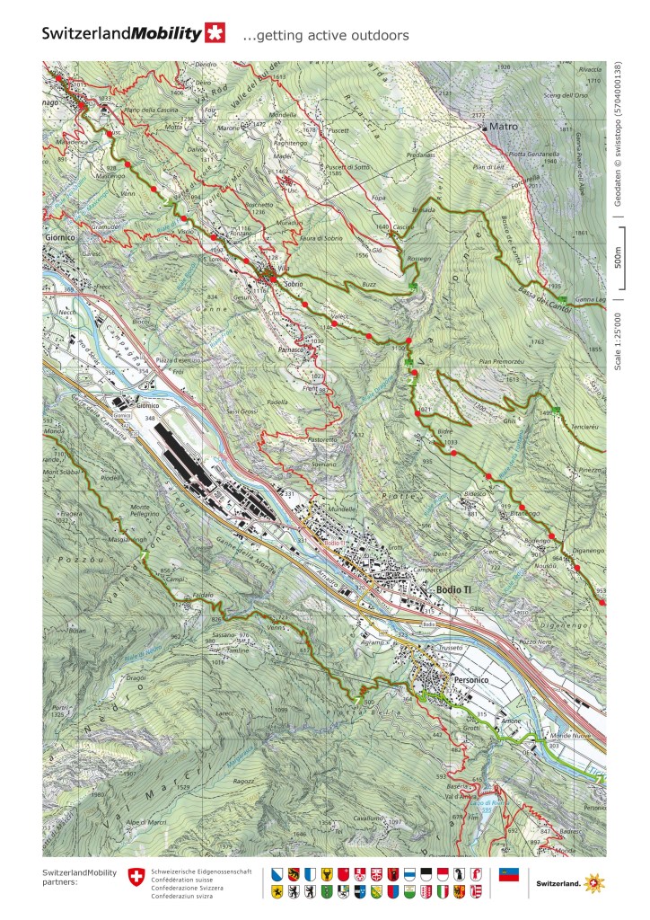
The trail continues on to Sobrio through a mixture of woodland and pasture. Approaching Sobrio, I came to the church of San Lorenzo just below the village itself. The church dates back to the seventeenth century, along with the rectory next to it. It was renovated in 1943 with the installation of a marble floor.

Sobrio itself is a small village, no bigger than Anzonico. The demographics are typical of the villages along this part of the trail. In 2008, Sobrio had 260 apartments, of which just 38 were permanently occupied, with the rest only used intermittently on a seasonal basis. Nevertheless, Sobrio and the other villages seem determined to keep going, and Sobrio was actually preparing for a festival when I arrived.
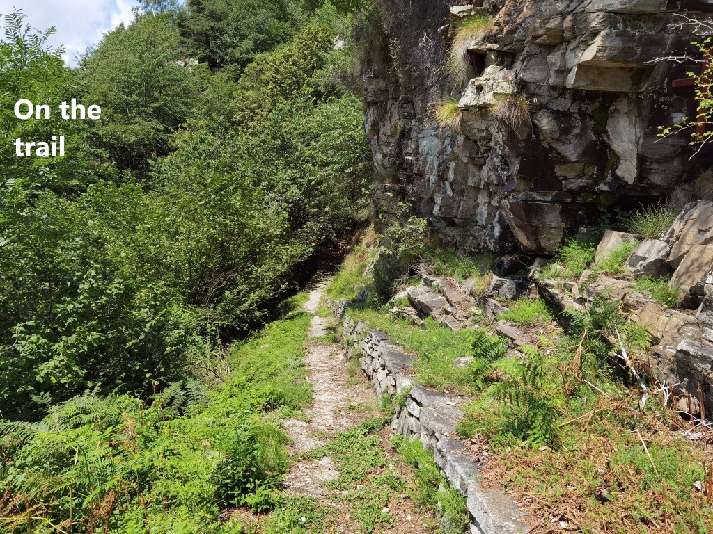
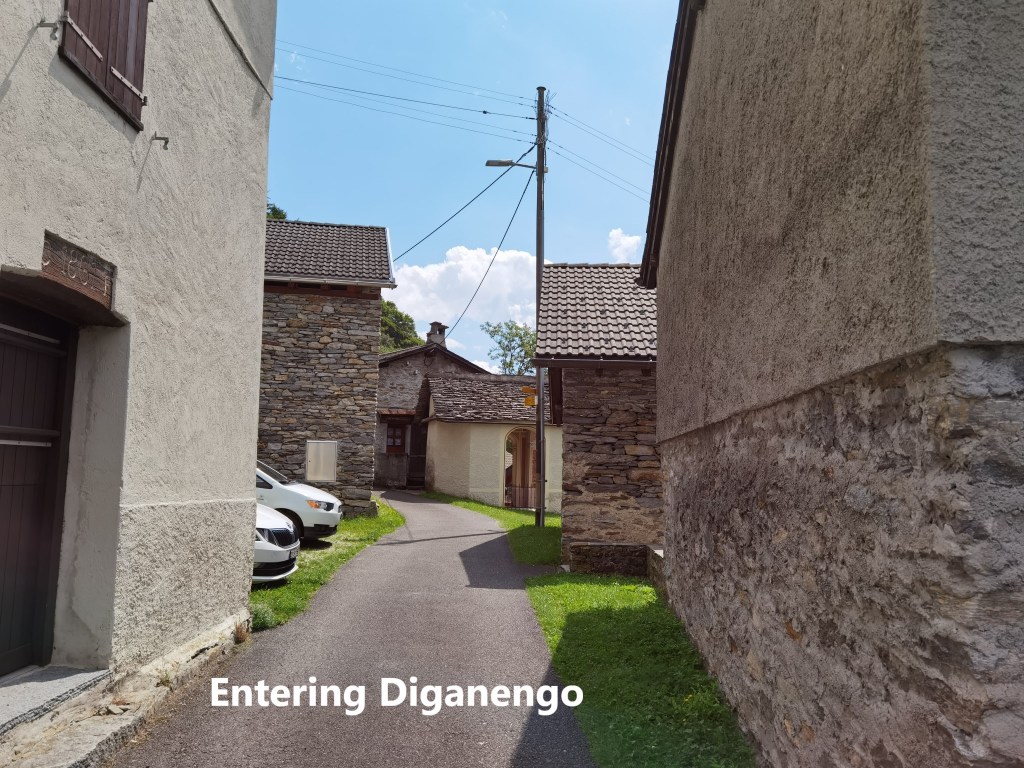
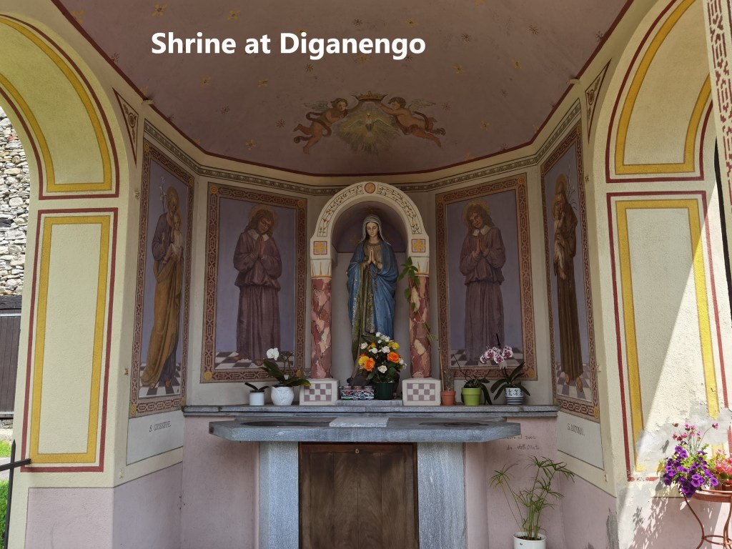
After Sobrio, the trail gets narrower, sometimes squeezed into a ledge between rocks on one side and a steep drop on the other. I continued to pass waterfalls and cascades. And so I came to the last real village on this section of the route: Diganengo. Diganengo is so small it does not even have a church, though it does have a very pretty shrine in the middle of the village. It is testimony to the dedication of the villagers that the shrine was being decorated while I was there.
After Diganengo, the trail starts to go downhill. It passes through one more settlement at Corecco, and shortly after that takes a sharp turn to the right. It goes through a series of seemingly endless zig-zags to descend four hundred metres to the village of Pollegio.
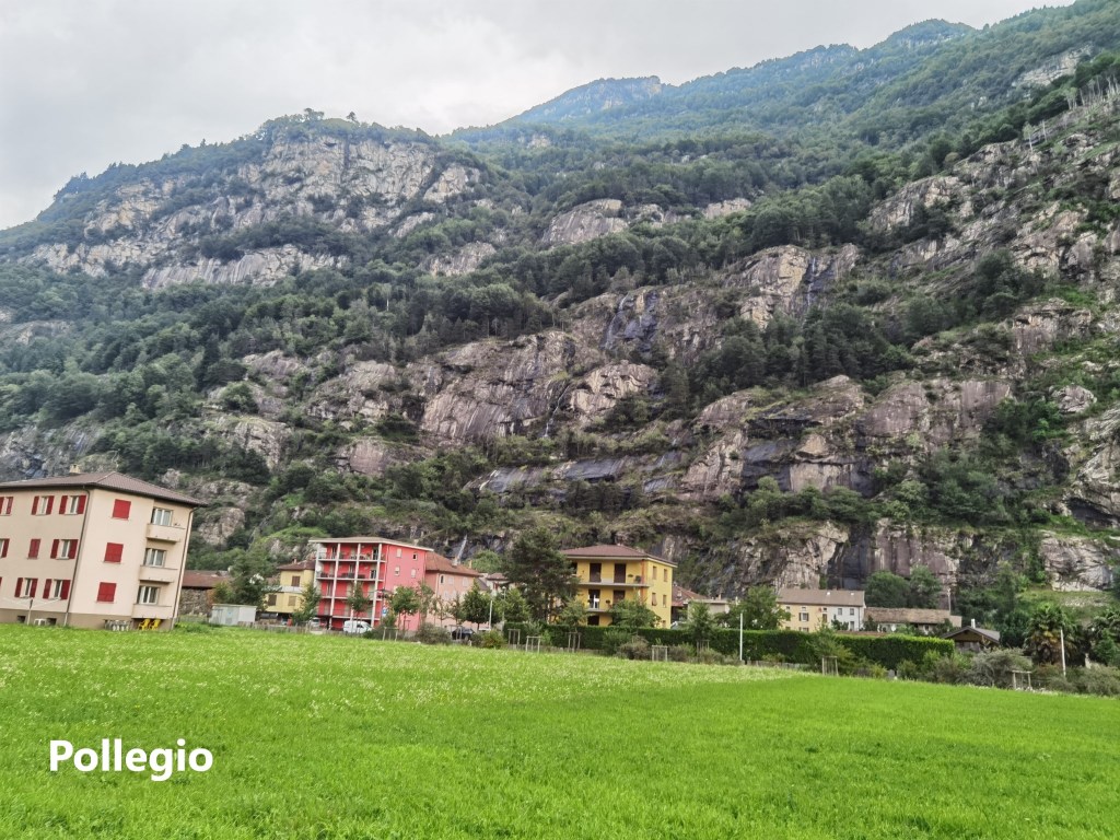
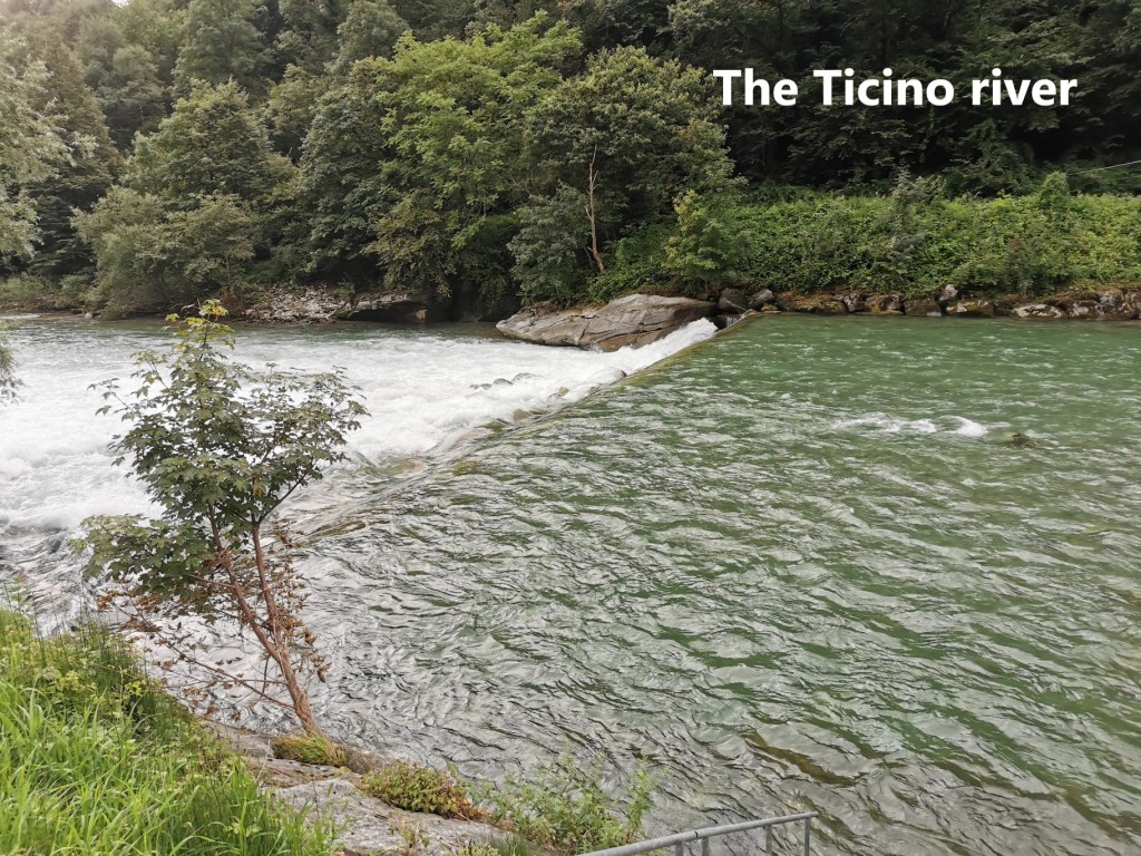
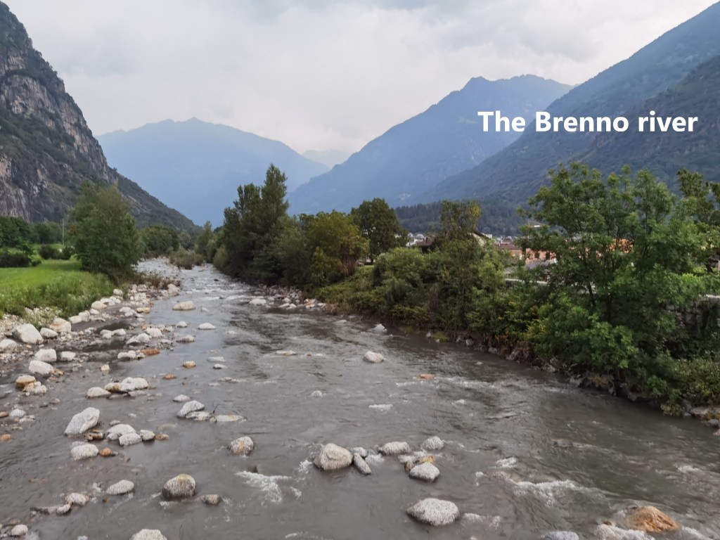
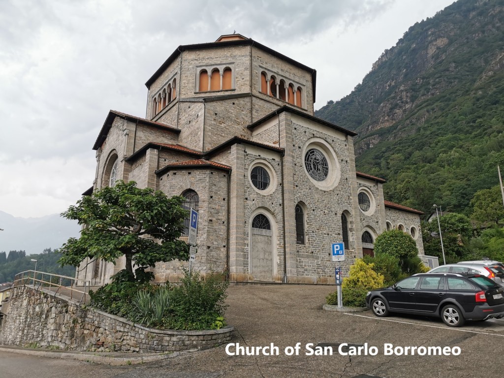
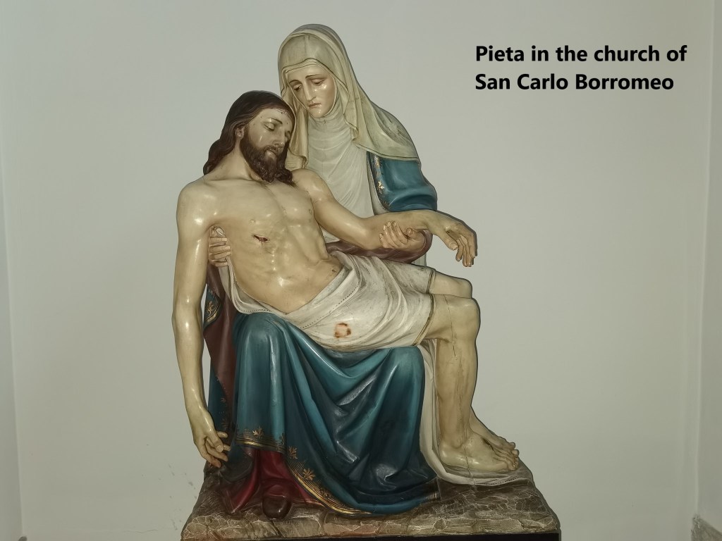
I reached Pollegio just as the first drops of rain were falling. The route from there is flat. I went through the village to reach the Ticino river, following it for a short time before turning towards Biasca. Crossing over the old bridge over the Brenno river brough me into Biasca itself. I could not resist looking at one more church before going to the railway station. The church of San Carlo Borromeo looks impressive from the outside, but the interior is quite sparse, though it does have a nice statue of the Pieta. The smaller village churches that I visited on the way were more interesting.
It was raining steadily by the time I reached the train station at Biasca and the start of my journey back to Basel. Overall, it was a relatively short stage on the trail, with just 38,395 steps.

Thank you for sharing the villages look lovely.
LikeLike