
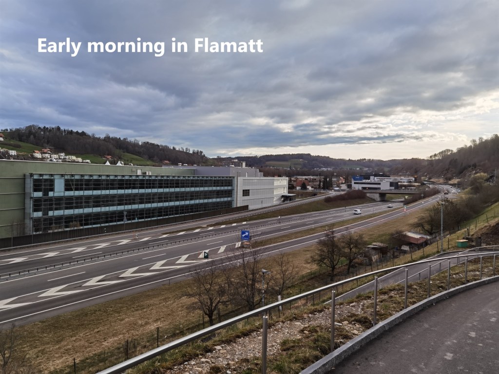
Other activities had kept me away from the trail for over a week, but I can never stay away from such an interesting route for very long. And so it was, after checking the weather forecast, that I decided to go for the next stage of the Trans Swiss Trail last Saturday. The days was to be cool, with temperatures down into single digits, and with scattered cloud. Crucially, though, there was no rain forecast before mid-afternoon. So if I could get going early, I should complete the walk in reasonably pleasant weather. Thus it was that I took an early train to Flamatt and started walking while the sun was still low in the eastern sky.
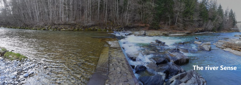
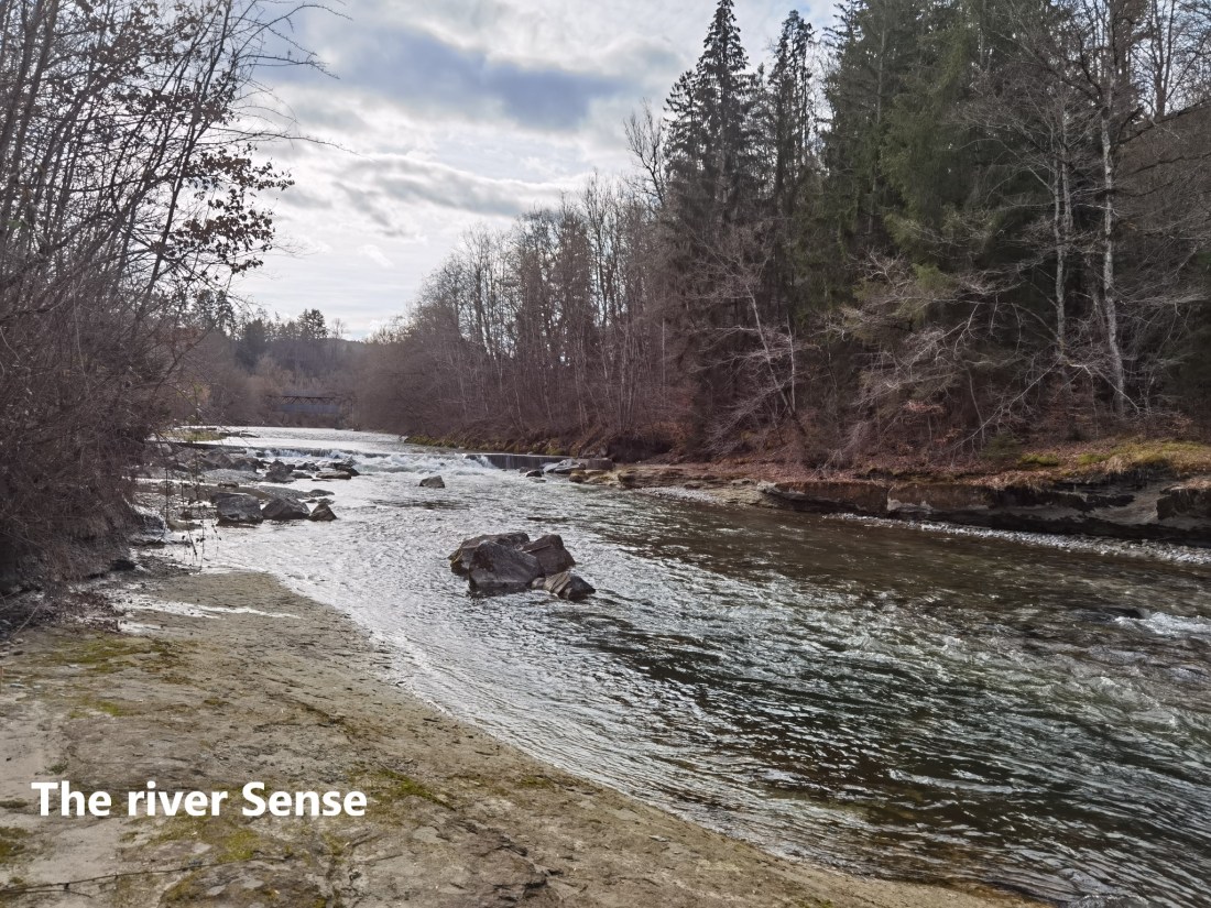
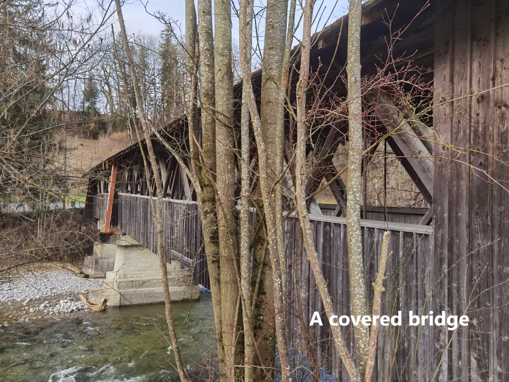
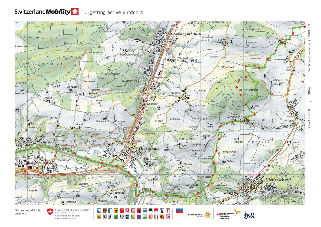
I soon crossed over the river Sense, and the rest of the day would be totally in Bern canton. Initially, this was along the bank of the river. It was pleasant enough, and after a few kilometres, I came to the Riedernbrücke. This was my first covered bridge of the day. Covered bridges are not a new thing, but they really came to public attention with the book and film The Bridges of Madison County. The story is set in the American Midwest. The Americans are proud of their historic wooden build covered bridges and rightly so. But the public perception has reached the point where they are often thought of as an American invention. In fact, there is an American patent for such a kind of bridge going back to 1797. But in fact, they are not originally American at all. Switzerland has 0ver 300 such bridges in an area smaller than most US states. Some of them are very old, dating back to before the first Europeans set foot in America. Most famous is the Kapelbrücke in Luzern. But of the total number in Switzerland, some two thirds of them are in Bern canton. And the Riedernbrücke is one of those. Built entirely of wood, it spans the river Sense. The riverbanks on either side of the bridge are somewhat overgrown, making it difficult to get a good photograph, so here is the best I could get.
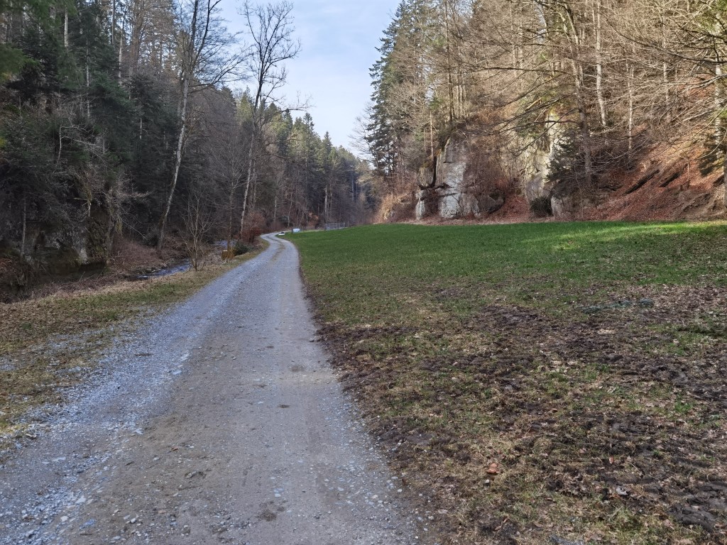
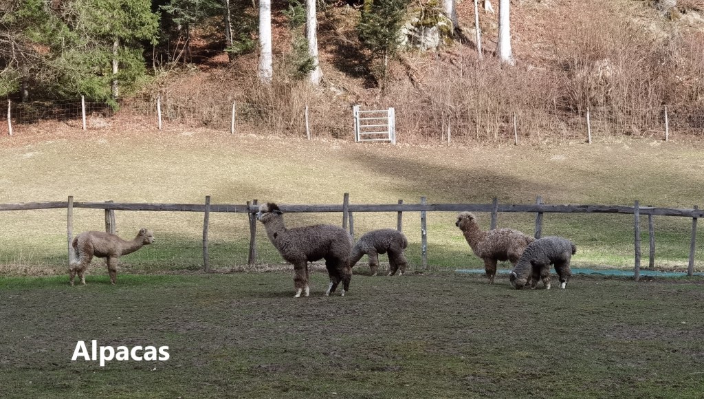
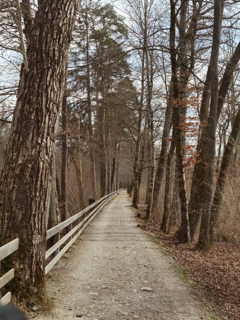
Soon after passing the Riedernbrücke, the trail turns left, leaving the Sense. In leaving the cantonal border, I am leaving the centuries old rivalry between Bern and Fribourg cantons, once brutally violent, but now largely confined to sporting rivalry at ice hockey games. My route took me up the valley, with rocky cliffs on one side of the trail, and a small stream on the other. At one point I came to a farm with alpacas grazing in the pasture. It seemed incongruous to have a native of South America here in Bern canton. Other walkers must have thought so too, and there were two signs advising people not to interfere. One was simply a sign not to feed the animals. The other, interestingly, stated that the farm dogs would treat any humans entering the pasture in the same way that they would wolves. I had no desire to find out how those dogs treat wolves, so I went on my way, wondering what is the difference between an alpaca and a llama, and how would I recognise one from the other.
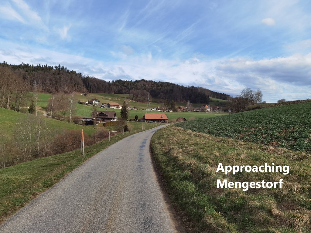
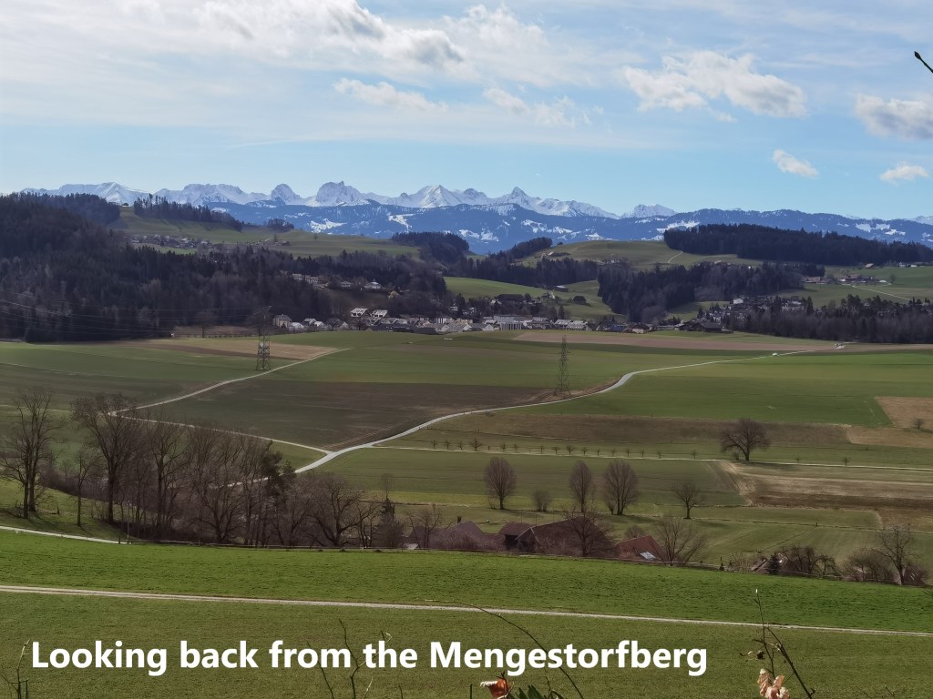
As the trail goes further up the valley, it eventually emerges onto high ground. This is hill farming country, much of it meadowland, and pasture, but it was still too early to have the cows out in the fields. I guess that will happen in a few weeks. Going on, it was not long before I reached Mengestorf.
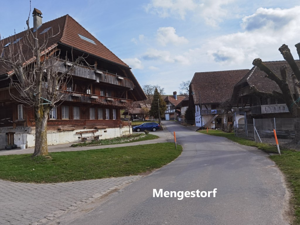
From the village, the trail heads on uphill. The hill itself carries the name of the village: Mengestorfberg. At just 753m high, it is one of the smaller summits in Bern canton, but still worth a short detour off the marked trail. And then it was downhill for a while. At first, from the Mengestorfberg, the route is in forest, but it emerges into farmland just on the edge of the city of Bern. I reached the outer suburb of Köniz, and I have to say that for several kilometres after that, the trail is quite uninteresting. It skirts the edge of Köniz, between suburbia and the forest, before descending into a more built-up zone.
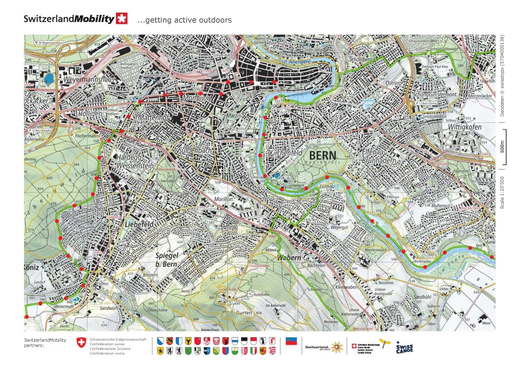
Strangely enough, the maps don’t show a route through the city for the Trans Swiss Trail. Just as the official route would have had me take the boat across Lake Neuchâtel, I wonder if the route planners intended people to take a tram or bus through Bern. But anyway, I am a walker, so I walked into the city centre.
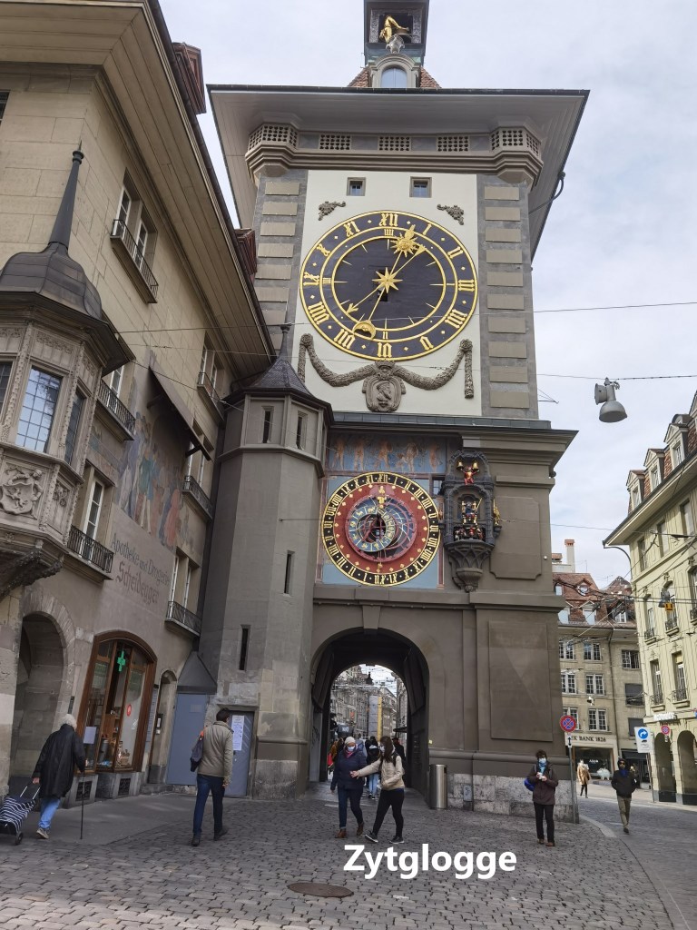
Bern is an ancient city, with evidence of local habitation going back into pre-history. It was built on high ground surrounded on three sides by the river Aare. I could devote a lot of space to its history and all that is worth seeing. But that is not the purpose of these writings. I will just say that the Zytglogge is always worth a visit, so I made sure to pass by there. Dating back to medieval times, the Zytglogge is reported to be 800 years old. Of course, it has gone through many renovations in that time, and the present structure would probably be unrecognisable to the original builders. Originally, it was part of the city walls, but as city expanded and the outer defences were moved westwards, it was used for other purposes. The astronomical clock was installed between the 15th and 16th centuries. The tower has been damaged at times, and the last renovation was only completed in 1983.
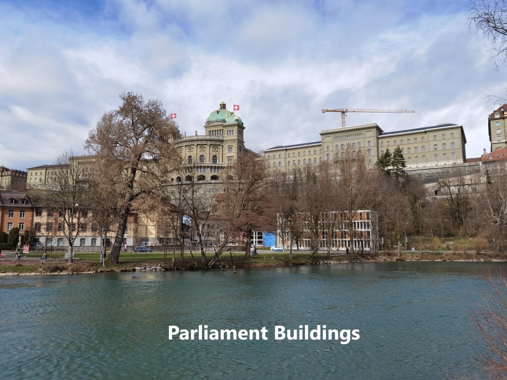
Bern is also the location of the Swiss national parliament. When viewed from within the old city, they don’t look particularly impressive, but my route took me down from the heights to the bank of the Aare, and from there the parliament building really do impress.
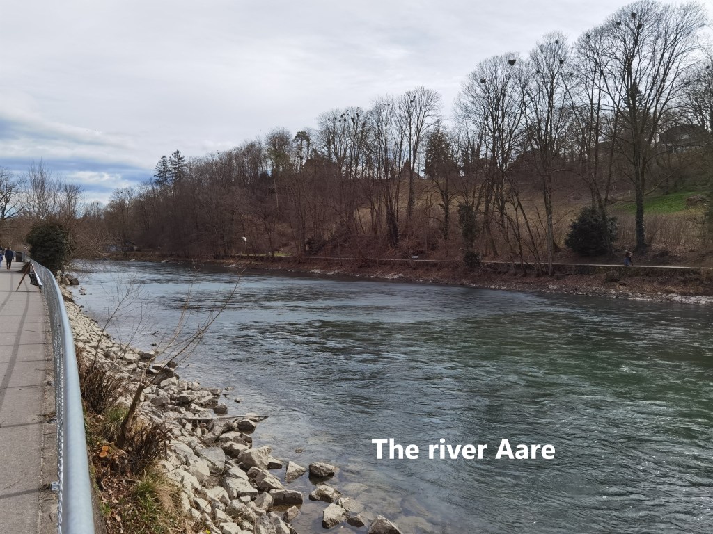
My route then followed the river Aare upstream. The river has one of those interesting names with a double “a”. The origins of the name are lost in the mists of time. The Aare is the longest river entirely within Switzerland, being almost 300km long. It drains almost half the land area of the country, and generates electricity at forty hydroelectric stations along its route, eventually discharging into the Rhein.
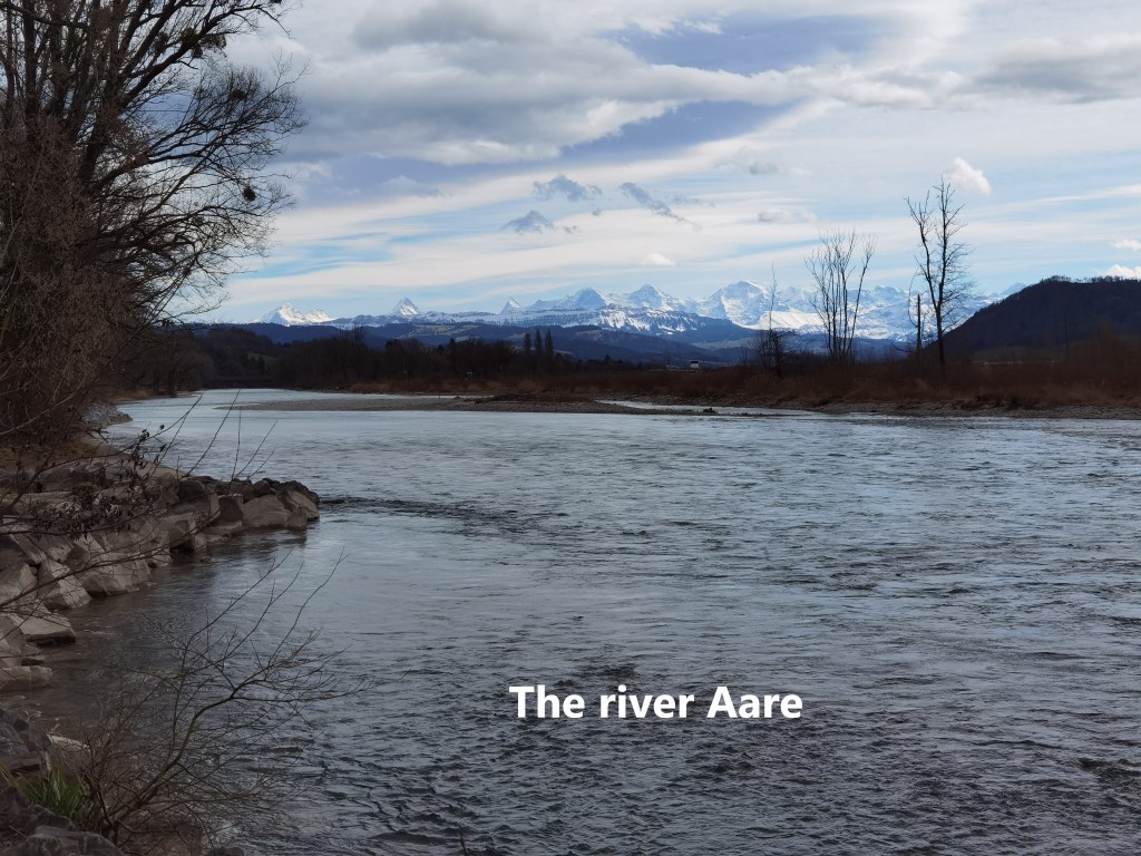
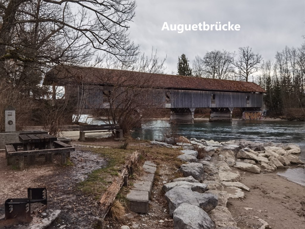
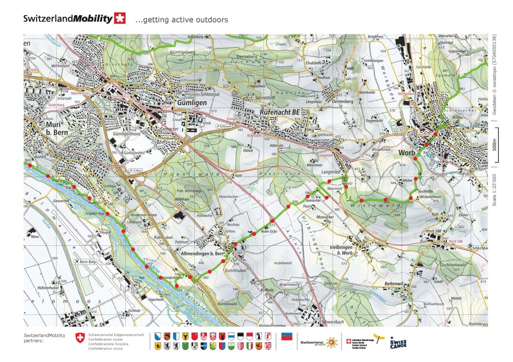
My route took me along the banks of the Aare for nearly nine kilometres from Berne. The banks have allowed to go semi-wild, with woodland either side of the trail. Where the trail went right the way to the water’s edge, it was soon possible to see the alpine peaks in the distance. And eventually, I came to my second covered bridge of the day, the Auguetbrücke.
The wooden bridge was originally built several kilometres further upstream at Hunzigen to accommodate traffic between Bern and Thun. That was in the 1830s. But a wooden covered bridge, while very interesting, is not suited to modern motorised traffic, and in the early 1970s, it had to be replaced with a modern road bridge. The old wooden structure was not destroyed, however, but moved to its current location, where it serves as a pedestrian route across the river. The Swiss are proud of their covered bridges.
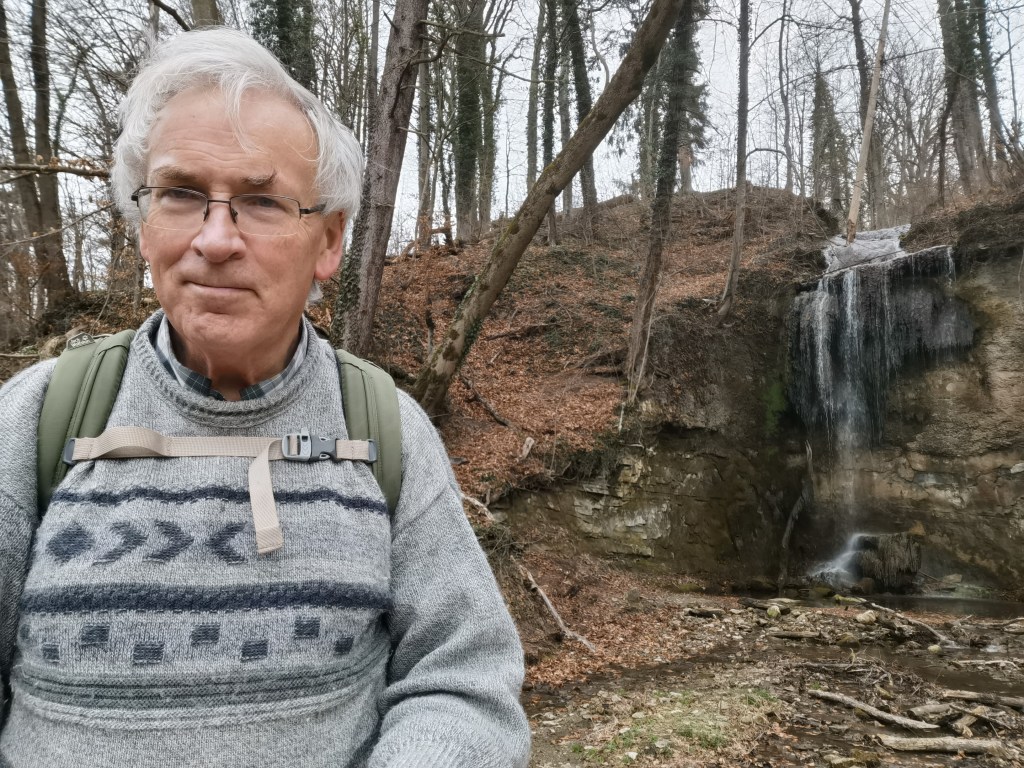
Further along the river, I came to an interesting waterfall. The water, falling from a height into a pool below, reminded me of Glencar waterfall at home in Ireland. Somehow, though, this one lacked the magical nature of Glencar as expressed in the poetry of Yeats:
Where the wandering water gushes,
From the hills above Glencar,
To pools among the rushes
That scarce would bathe a star.
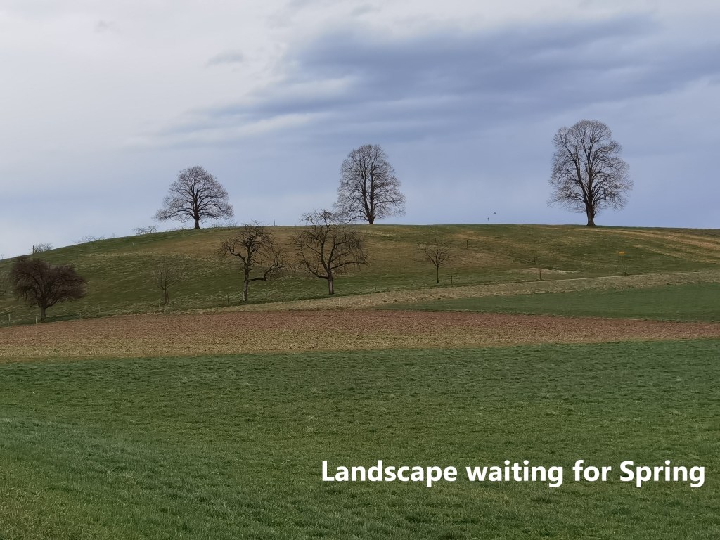
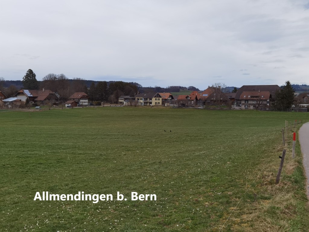
While Switzerland is a wonderful place in general, this was no Glencar, so I went on. Soon after that, the route turned again, and I left the Aare behind me, just as I had the Sense, and the lakes of Murten and Neuchâtel before. I went up into farmland above the river, land that has been ploughed, but is clearly still waiting for Spring. The little village of Allmendingen bei Bern was soon passed.
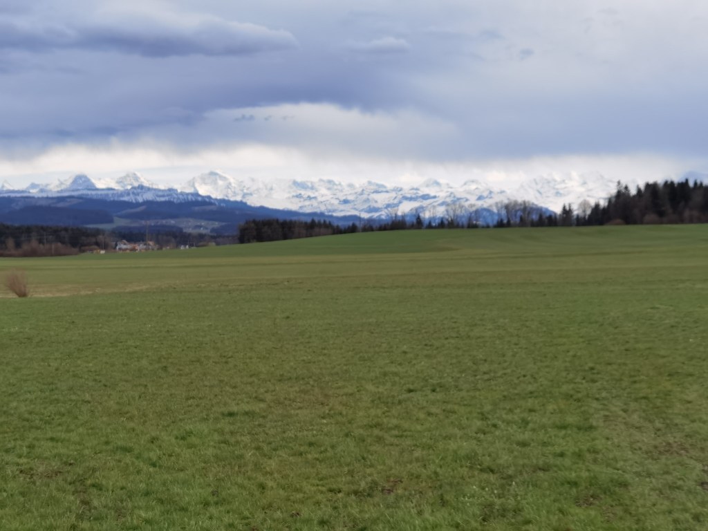
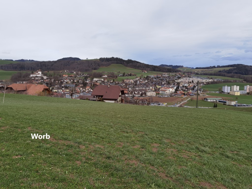
I was in the final stretch for the day at that stage. In the distance, the Alps were clearly visible to my left, disappearing only when I went into the woods between Langenloh and Worb. And then, suddenly, there was Worb in front of me. It was an easy descent to the town, and the journey home by tram and train.
It was a long walk, with much of interest along the way. The rain had held off right the way to the end, though when I reached Basel later in the evening, it had rained for much of the day there. Truly, fortune favours the bold. And my total step count for the day was 54,236.

Great walk Thurloch, I just left quarantine in Bern on Saturday – we need to catch up soon. I am very impressed about your performance, a good piece of your trail a long the Aare I know quite well, but 54000 steps is a lot, congrats.
LikeLike