
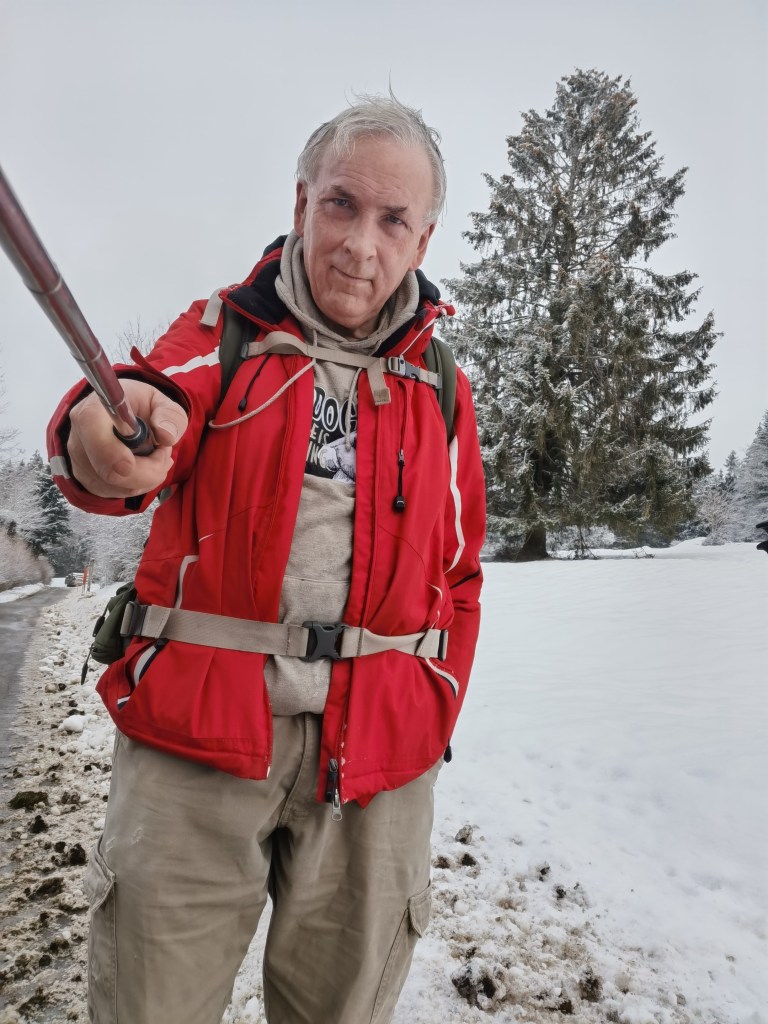
The Trans Swiss trail is 32 stages, according to the guidebooks and the website. Last year, the Jura Höhenweg, with only 16 stages, took me 14 days to complete over almost the entire year. So if I am to complete the Trans Swiss Trail in 2021, then there is no time to delay. And it was with that thought in mind that I set out to walk some more last weekend. I decided to combine two stages, walking from St. Ursanne to Saignelégier. The first part of this, from St. Ursanne to Soubey is listed as one stage, and from Soubey to Saignelégier as another. I reckoned that if I started early, I could do the two in just one day.
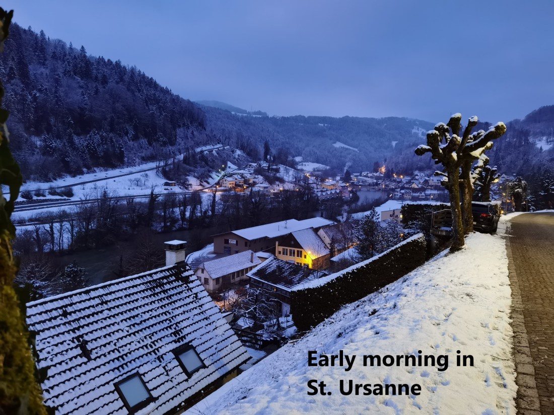
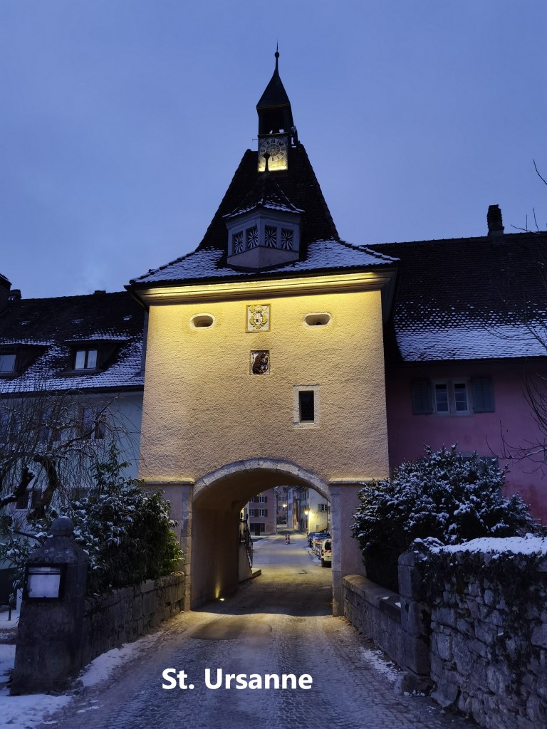
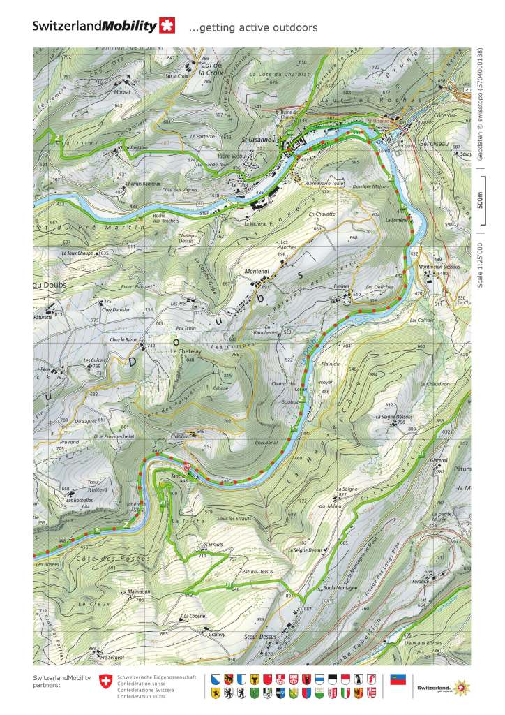
Dawn was just approaching when I reached St. Ursanne. I retraced the walk from the station into the town that I had made last week. Last week I was going up to the station; this week I was going down to the town. There were very few people about as I walked through the empty streets and across the bridge to the left bank of the Doubs.
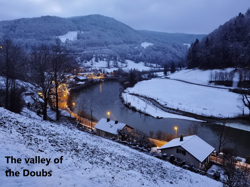
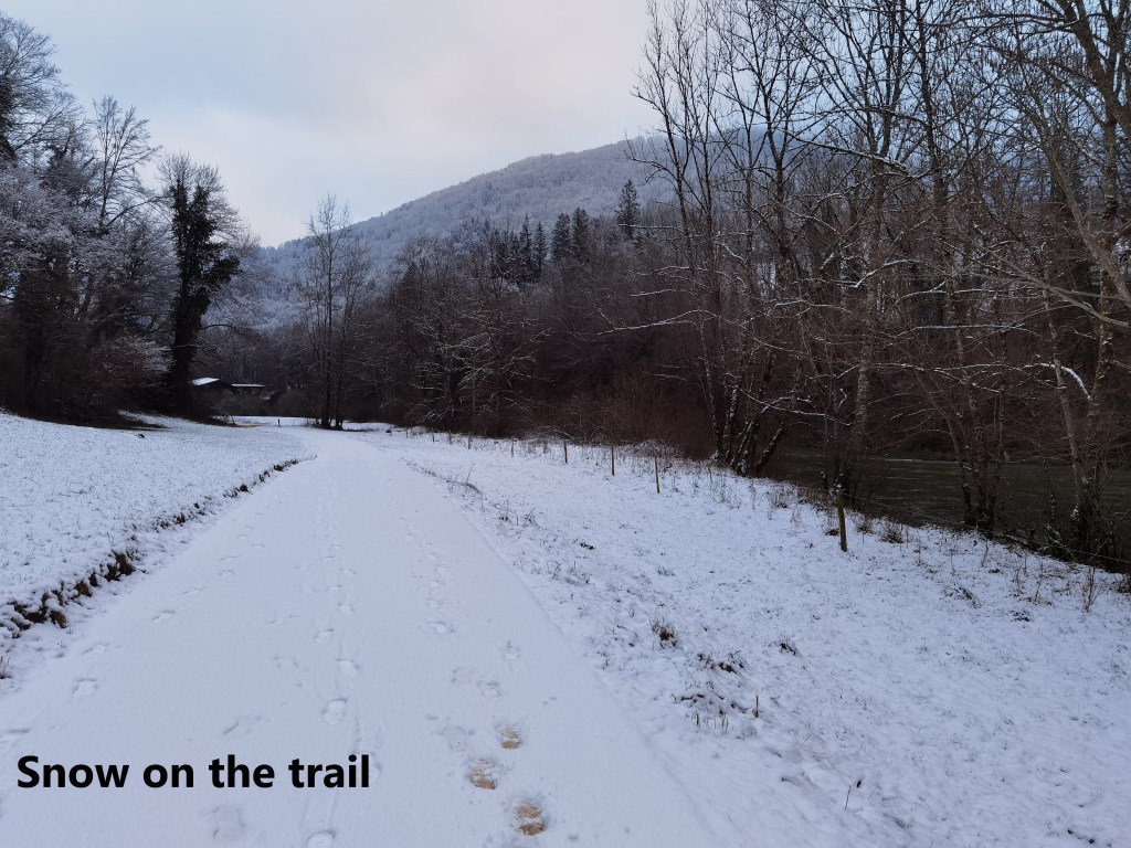
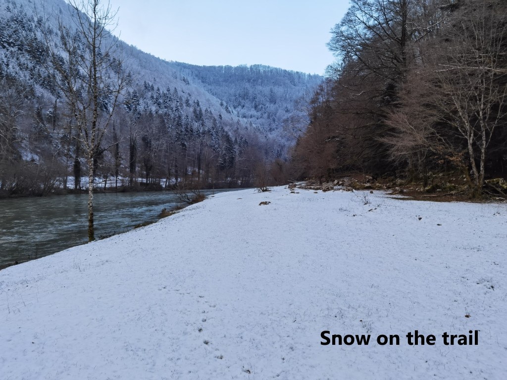
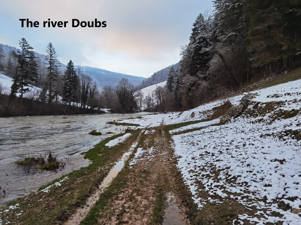
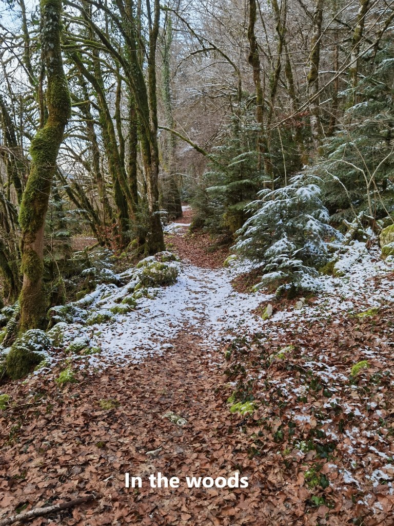
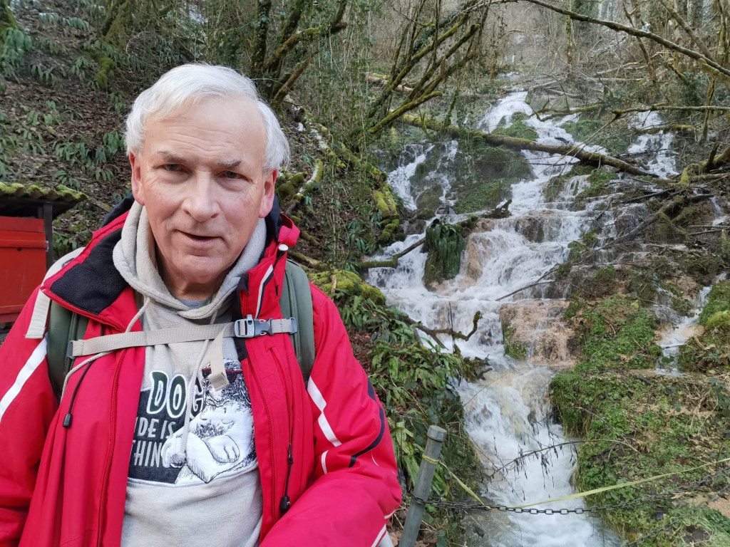
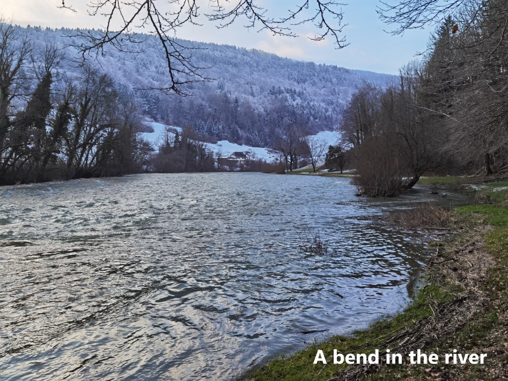
The route follows that left bank of the Doubs out into the countryside. The river was high, swollen from recent wet weather. In places, the trail was under a few centimetres of snow, and in paces, it was a muddy track next to the river. It wandered through fields and into and out of woods. Occasionally, there were small streams flowing down the mountainside to join the river, in one case presenting a cascade of small waterfalls.
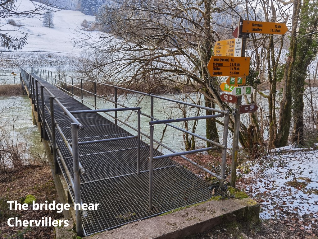
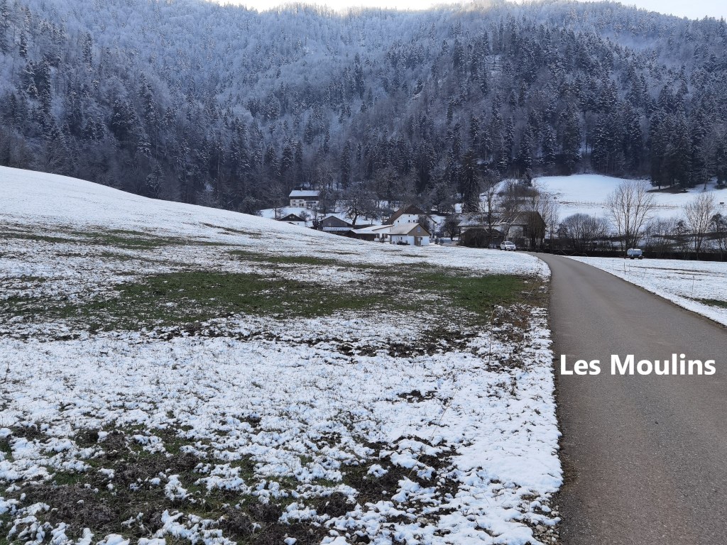
The route was pleasant, but with very little of any special interest. And so, not far from Chervillers, I came to the footbridge over the river, and crossed over. From there, the route follows the right bank, though a little more distant from the riverbank itself. It did not take long to reach the hamlet of Les Moulins, and soon after, Soubey.
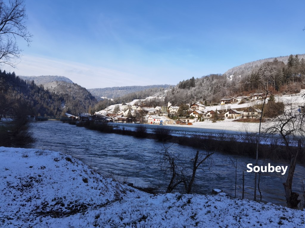
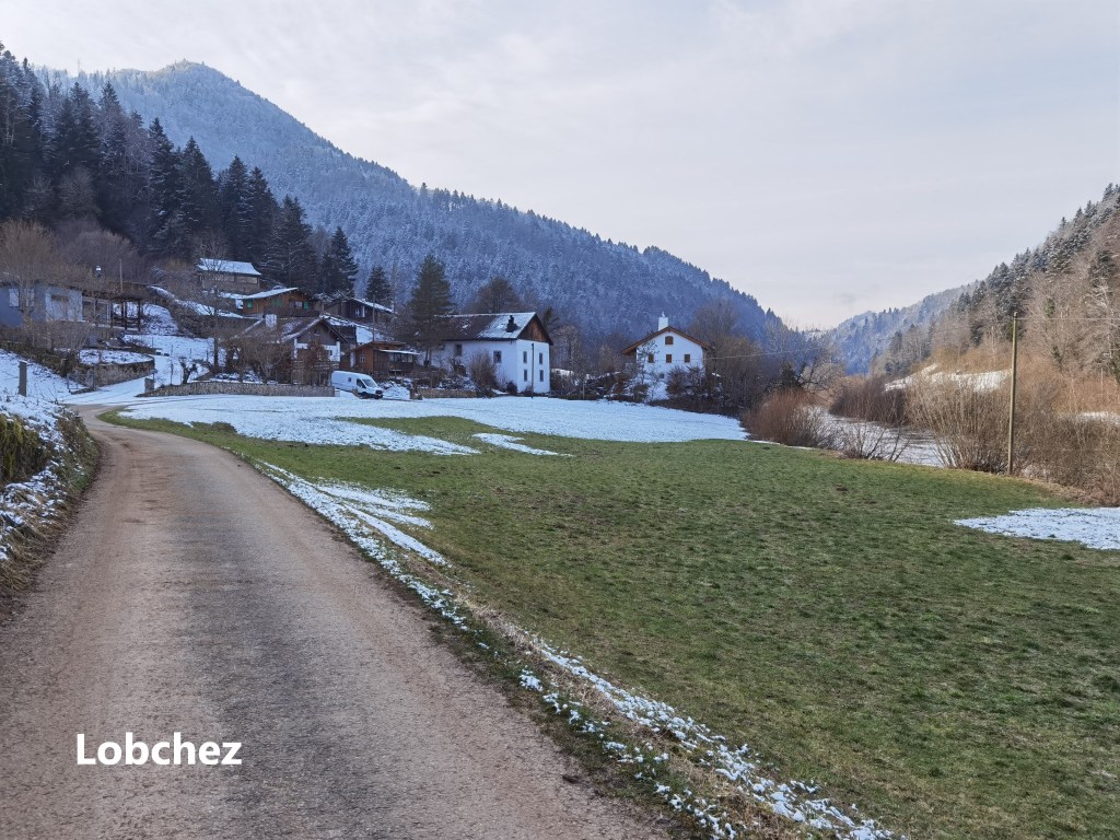
I did not go into Soubey. My route continued on along by the river. Shortly after Soubey, though, the official route was blocked. There was forestry work, tree felling, on the slopes below Les Hormets. The route was physically blocked. I could not hear any chainsaws, and could probably have followed the trail, but I decided to follow the road around instead. Timewise, it was not much different. That brought me to Lobchez.
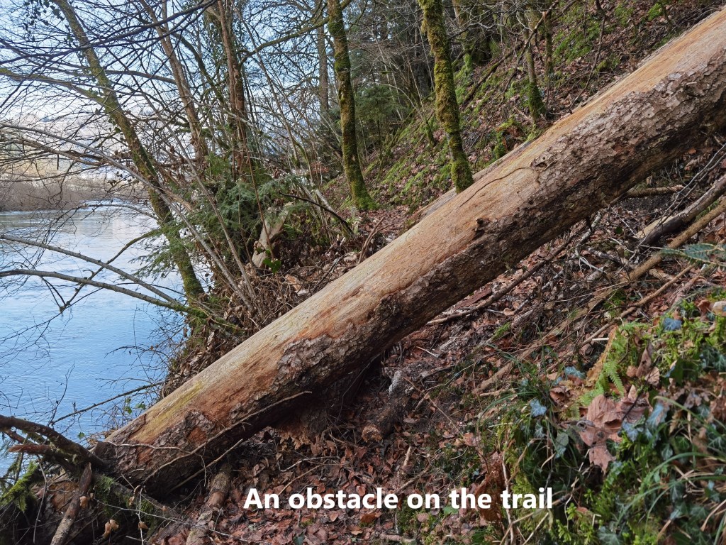
After Lobchez, the trail goes right down to the river’s edge. At one point, the high water in the river had covered the trail, and I was forced to take a smaller rougher tail on the slope above. That trail included some significant obstacles, but nothing insurmountable. And so I eventually reached Le Moulin Jeannottet.

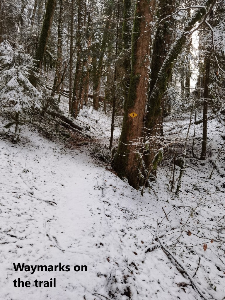
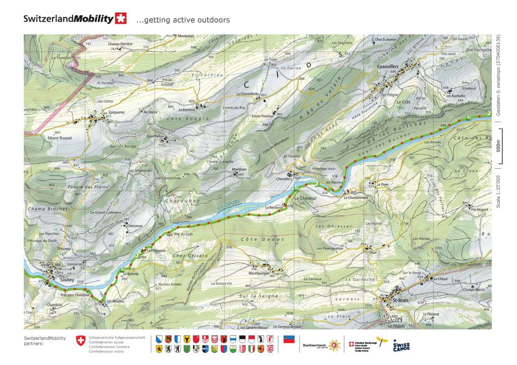
Up to this point, the trail was relatively flat. Id had not gone up or down by more than about ten metres at any stage. But at Le Moulin Jeannottet, the trail turns left and goes straight up the slope. Along by the river, the snow was generally patchy, but once I started up the slope, I was soon into constant snow cover. The trail was covered, but the route was just clear enough, and the waymarks just frequent enough that getting through the forest was not difficult on the initial parts of the ascent.
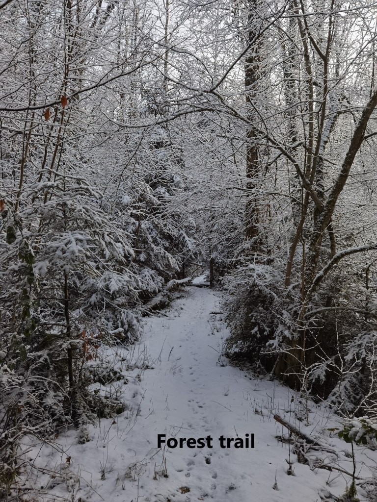
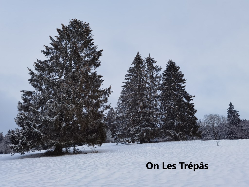
It was actually on the open stretches, where the route was harder to find, that I really had to be careful. There were no footprints there before me. It looked like no one had gone this way in at least a couple of days. There were animal tracks that were more or less following the route that I was going, but animals go their own way, and I could not risk following them as a guide. Also, the snow was getting deeper. Once I passed through the 800m contour, it seemed like the snow was 25cm or 30cm deep. It got deeper as I went over the ridge of Les Trépâs, and reached the village of Les Pommerats.
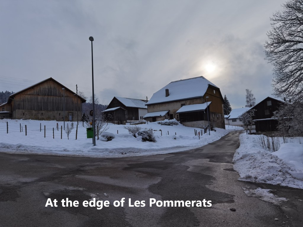
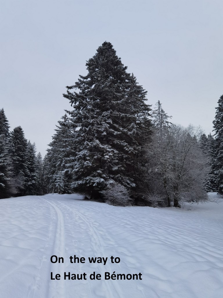
The route does not go right into the village, but takes a sharp turn to go on towards Saignelégier. But with the exact trails hidden in the snow, the choice of direction had to be considered carefully and frequently. I took a small detour to reach the summit of Le Haut de Bémont, plodding through deep snow to get there. Walking in deep snow with just hiking boots is difficult, you sink in, and it saps your energy with every step. But it was worth it. And from the summit it was all downhill to reach Saignelégier.
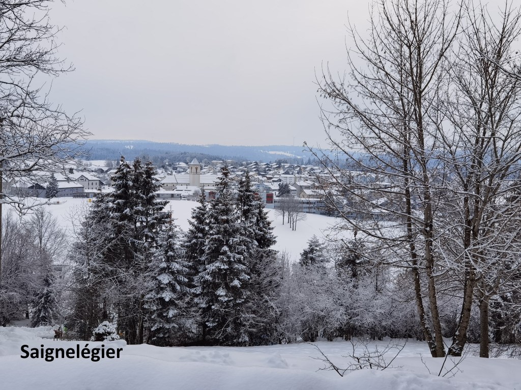
Saignelégier was cold, with plenty of snow on pathways and open ground. But the roads were clear, and I was soon taking a combination of bus and trains to get back to Basel. I had done it. Another two stages of the Trans Swiss Trail completed. So that is three out of thirty-two, almost ten percent. Bring on the next one.
And the step count for the day was 52,943.


Beautiful writing of a beautiful journey (:-) Really enjoyed reading it.
LikeLike