The world has moved from 2020 to 2021, and with the new year comes new challenges. Not least among those challenges is to stay healthy in the face of a rampant coronavirus that is mutating to become more infective than before. But life goes on, and life is too short to put everything on hold while waiting for others to address the crisis. It is important to get on with living, not just surviving. And for me, part of living is walking. That is why, with the coming of the new year, I sat down to look at what walking challenges I might take on in 2021.
Some of the challenges for me in 2021 follow directly from 2020. I plan to go back to the Camino de Santiago, with the objective this year being to finish it. I plan to do a significant number of steps. Last year I clocked up just over seven million steps. But last year was an exceptional year. Short time working in the second quarter allowed me to get out and walk more than I would in normal working conditions. I have set a base target of 6.5 million steps, and a stretch target of 7 million for 2021, but whether that works out remains to be seen. And after completing the Jura Höhenweg in day stages in 2020, I decided to take on another one of the Swiss national routes in 2021. The only decision was which one to start.
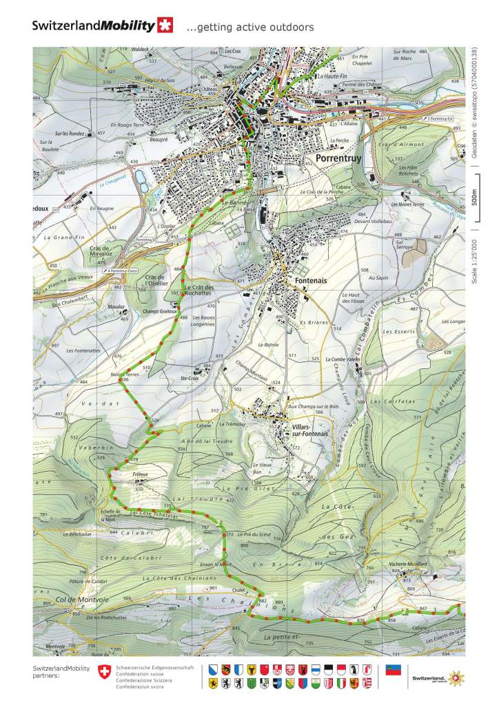
I decided on the Trans Swiss Trail, a route of 488km that is recommended in 32 stages. The website (https://www.schweizmobil.ch/en/hiking-in-switzerland/route-02.html) describes it as one of the last great adventures in highly developed Switzerland. It goes on: “The long-distance trail leads from the Jura through the Seeland in the Bern region and on via Emmental and Entlebuch to the Sarnersee and Vierwaldstättersee. Along famous mule trails, it reaches the highest point of the Gotthard route and leads along the Strada Alta, high above the Leventina, into southern Switzerland.” After reading a description like that, who could refuse such a challenge.
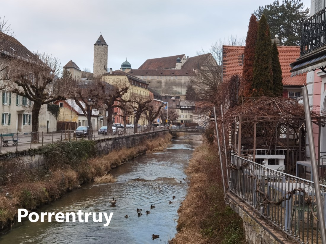
But as the proverb says, a journey of a thousand miles begins with a single step. So last weekend, I decided to go for the first stage of this trail. It begins in Porrentruy. Looking at the map of Switzerland, there is a little piece of the country that sticks out into France. This is the Ajoie region, a part of the Jura canton. Porrentruy is the chief town in the area. The town was a major centre of commerce and culture in the sixteenth and seventeenth centuries, but went into decline after that, becoming just an outpost of the canton of Bern. The decline in importance of Porrentruy coincided with the rise of Delemont, the latter being a crossing point of north-south and east-west routes in Switzerland. When the canton of Jura broke away from Bern, Porrentruy had ambitions to become the capital of the new canton, but Delemont was chosen instead. Nevertheless, some cantonal offices and functions were located in Porrentruy. It remains a busy enough town, though out of the way for many Swiss people. And it maintains the remnants of its former glory.

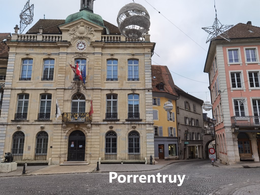
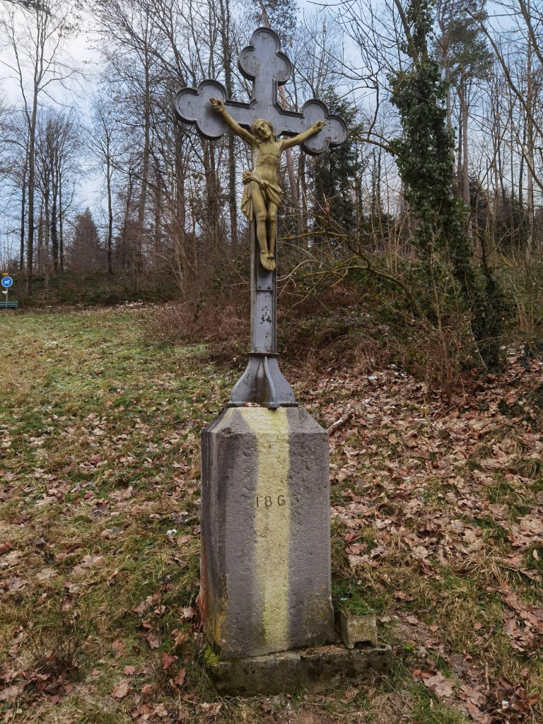
In these days of lockdowns and restrictions, all the shops were closed. The place was quiet with few people moving around, and there was nothing to detain me in Porrentruy. I was soon on my way out of the town. The route goes around the edge of the town and through a small wood to emerge into fields beyond. The open countryside beckoned, with the thin snow on the ground only adding to the anticipation of a good walk ahead. The ground itself was as hard as iron, and even the biting wind from the east was no deterrent.


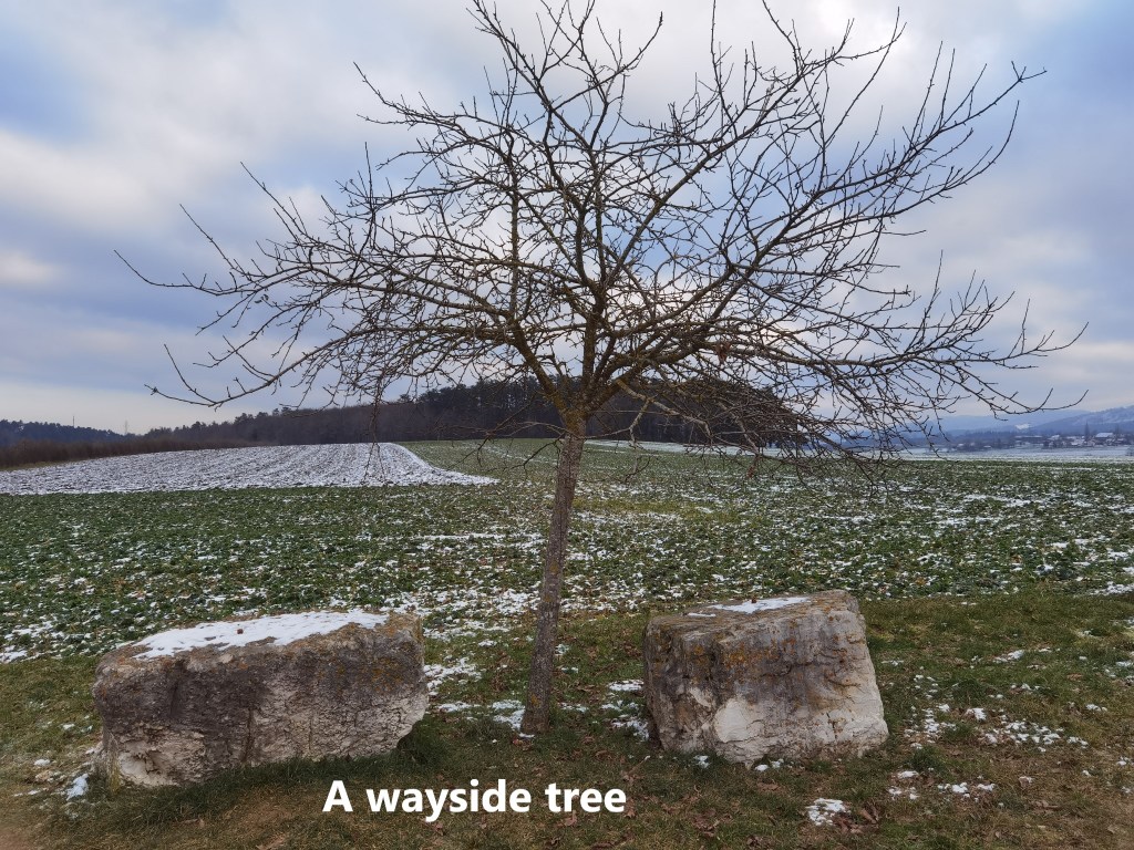
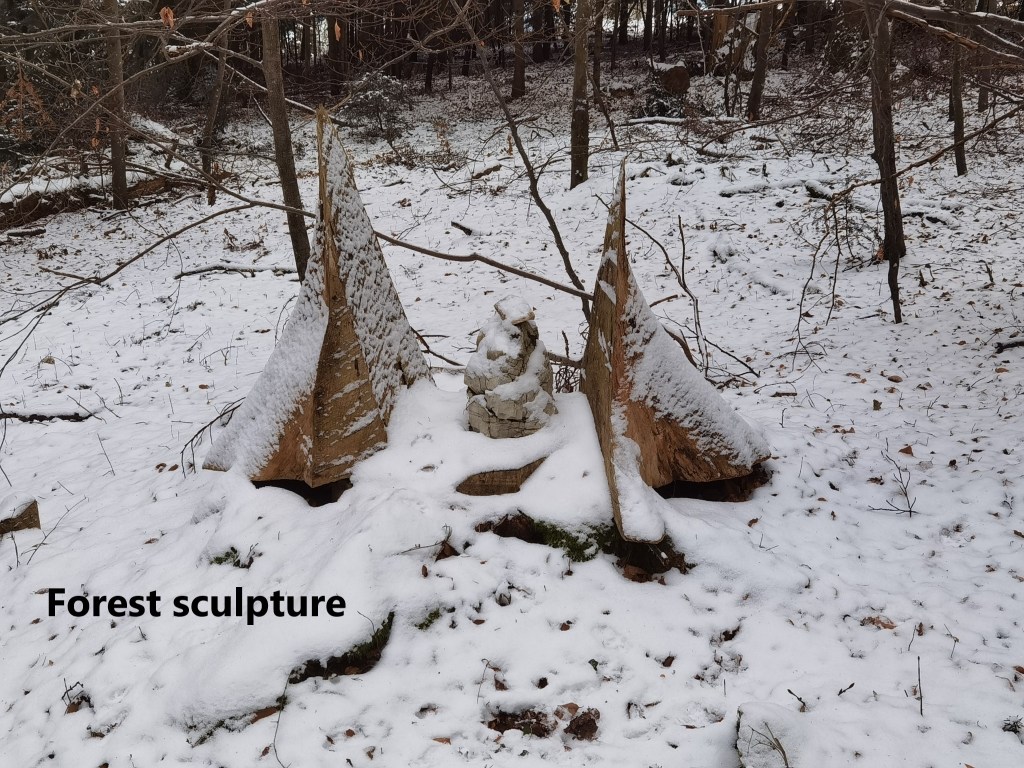
The route went through fields, with trees completely naked of leaves. But soon it was into the forest and ascending. As I got higher the snow got deeper. At one point I came across what looked like a piece of abstract sculpture in the forest.
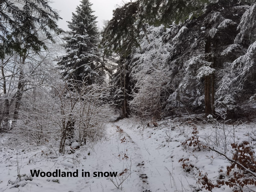
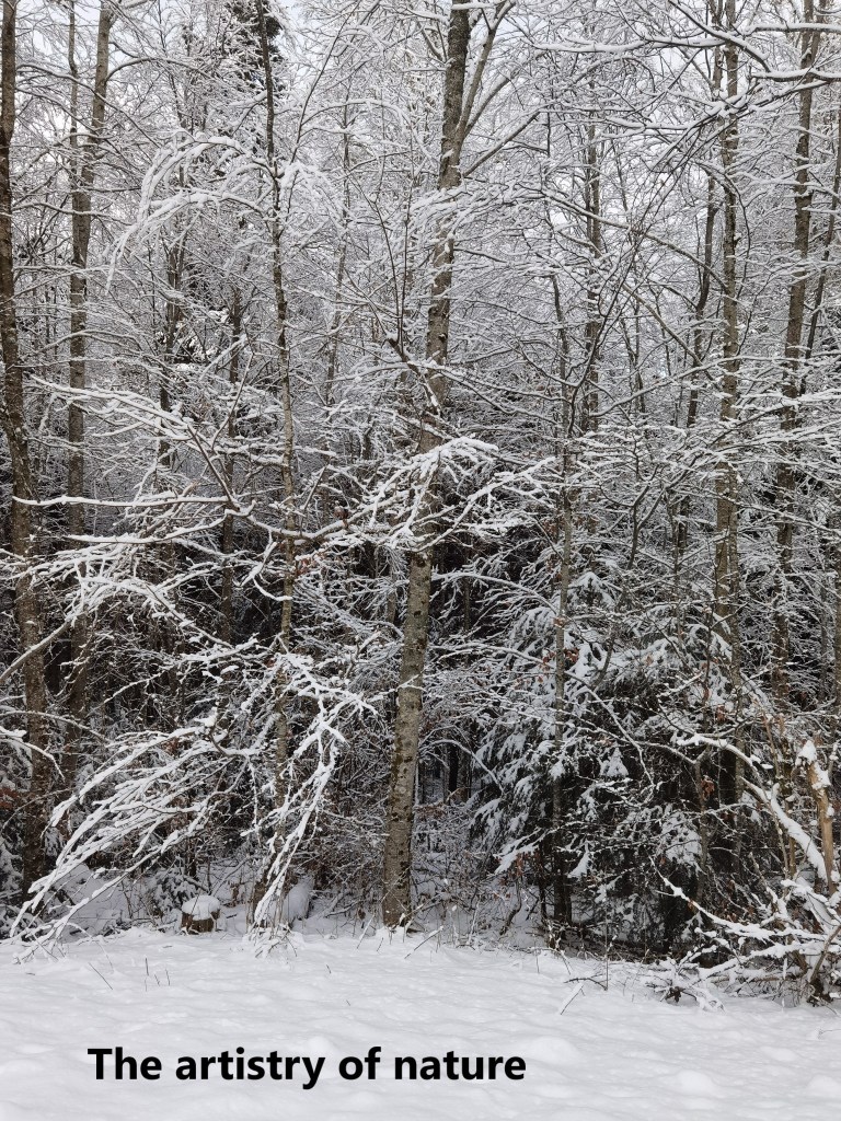
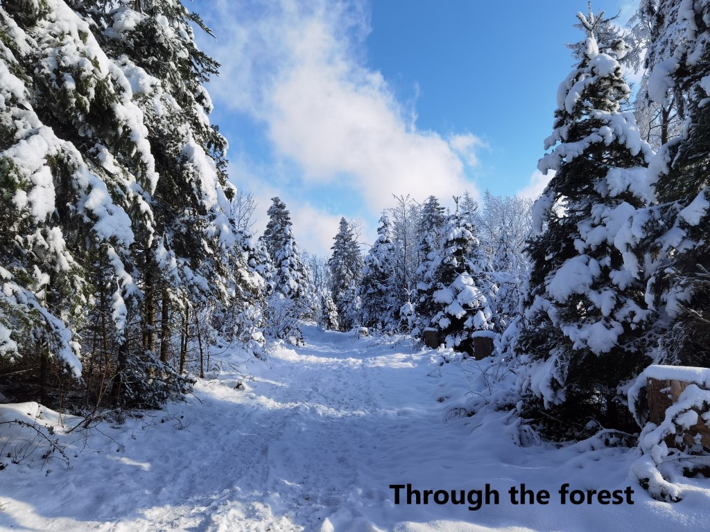
Closer to the summit, the route emerged from the forest to follow a logging rack to the summit. In places, the snow on the trees emphasised their form to create nature’s own abstract art. Closer to the summit, the route was in sunshine, and I reached the top of Les Chainions to find a scene reminiscent of a painting by Ivan Shishkin.


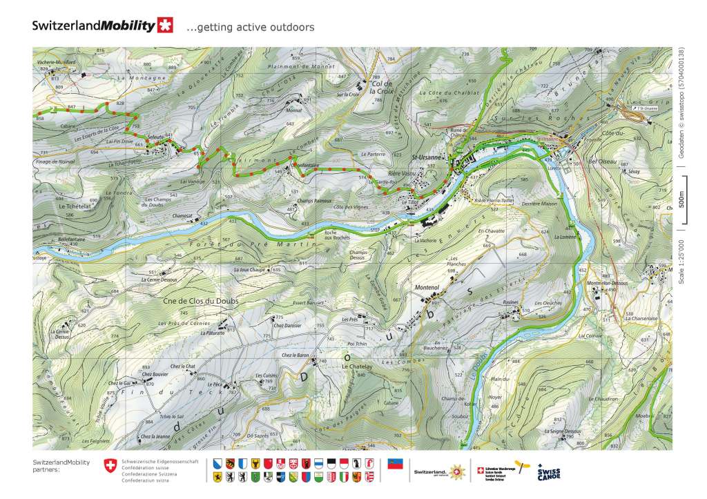
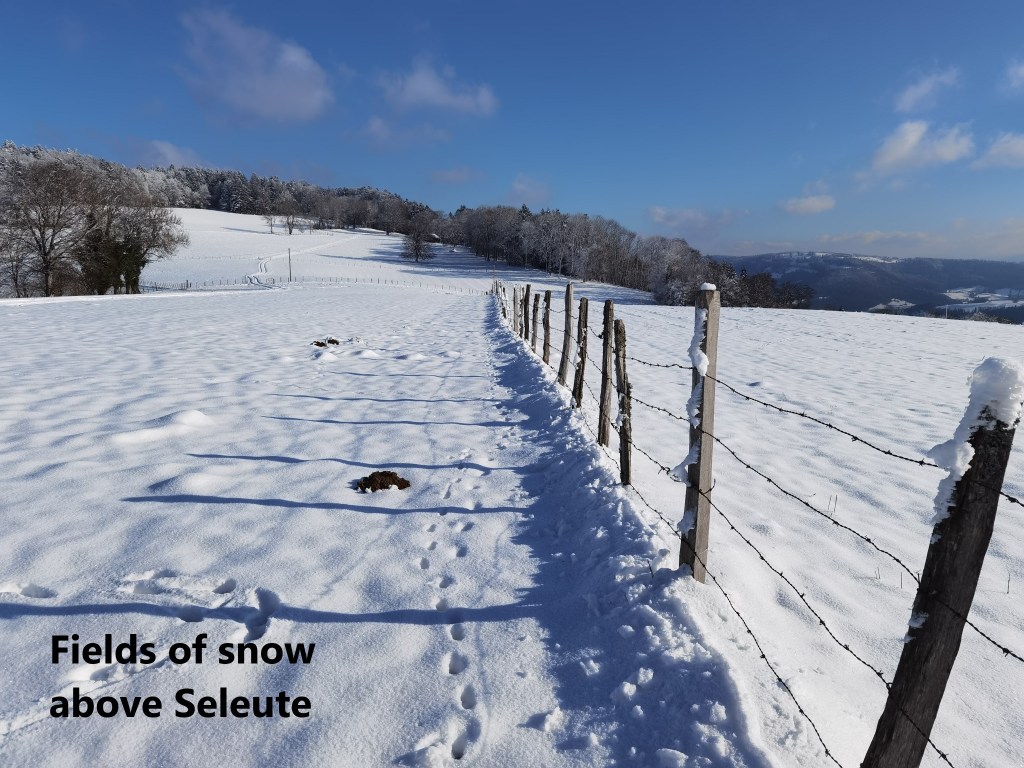
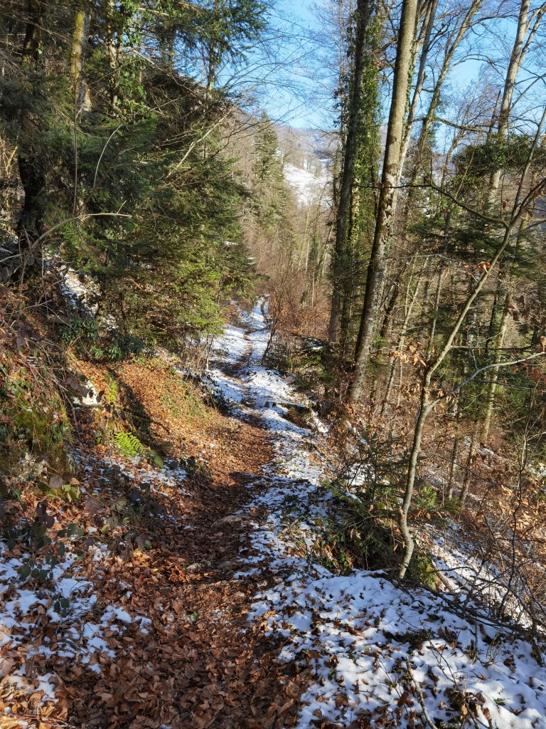
From Les Chainions, the trail goes first along the ridge, and then descends to the village of Seleute. The route went through the forest initially, and then emerged into fields of snow, before going back into the forest to reach the village.
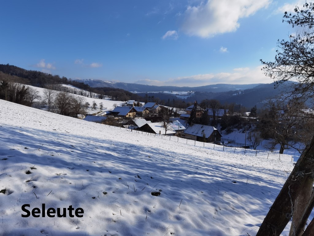
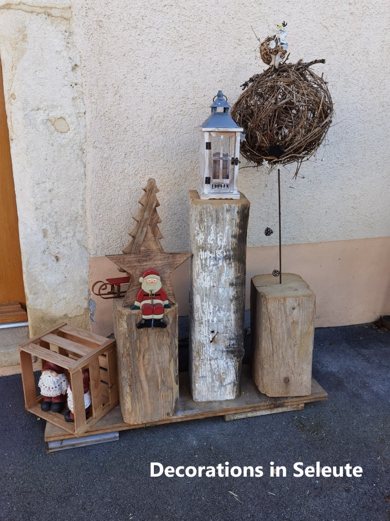
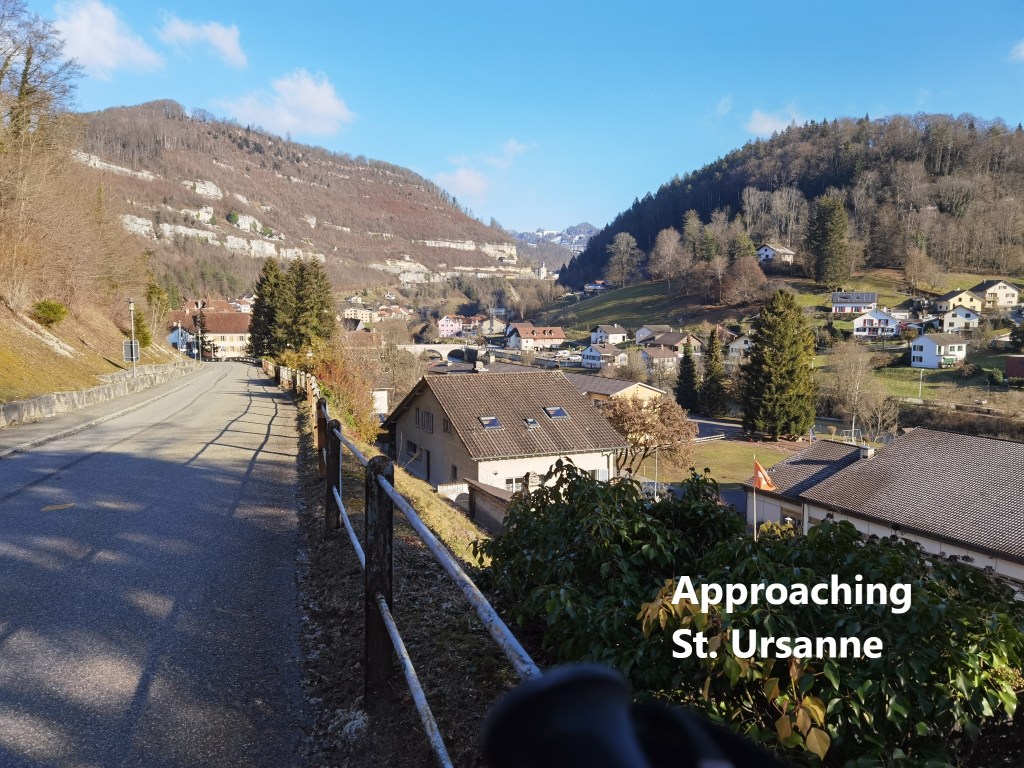
The village itself was quiet, very quiet. It has one pub, and some tourist accommodation, but as is normal in these days of Covid, both were closed. And so I went straight through, initially following the road, until the route turned off into the forest again. The snow was much less by then, and I soon emerged into fields beside the road into St. Ursanne. Once on the road, it was just a short walk into town.
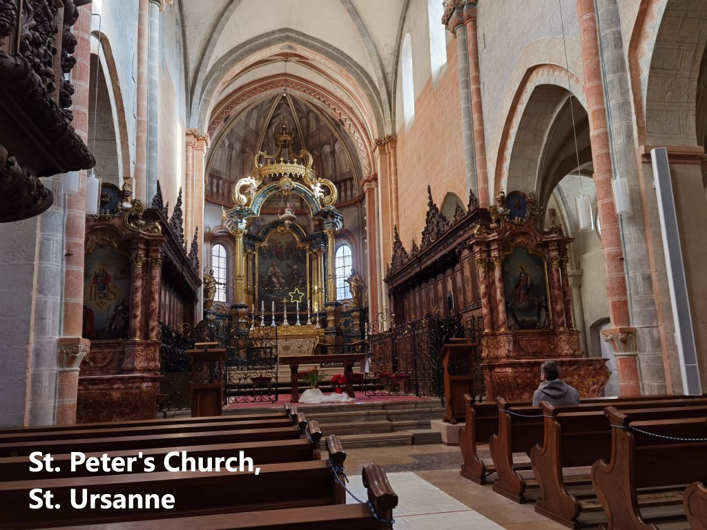
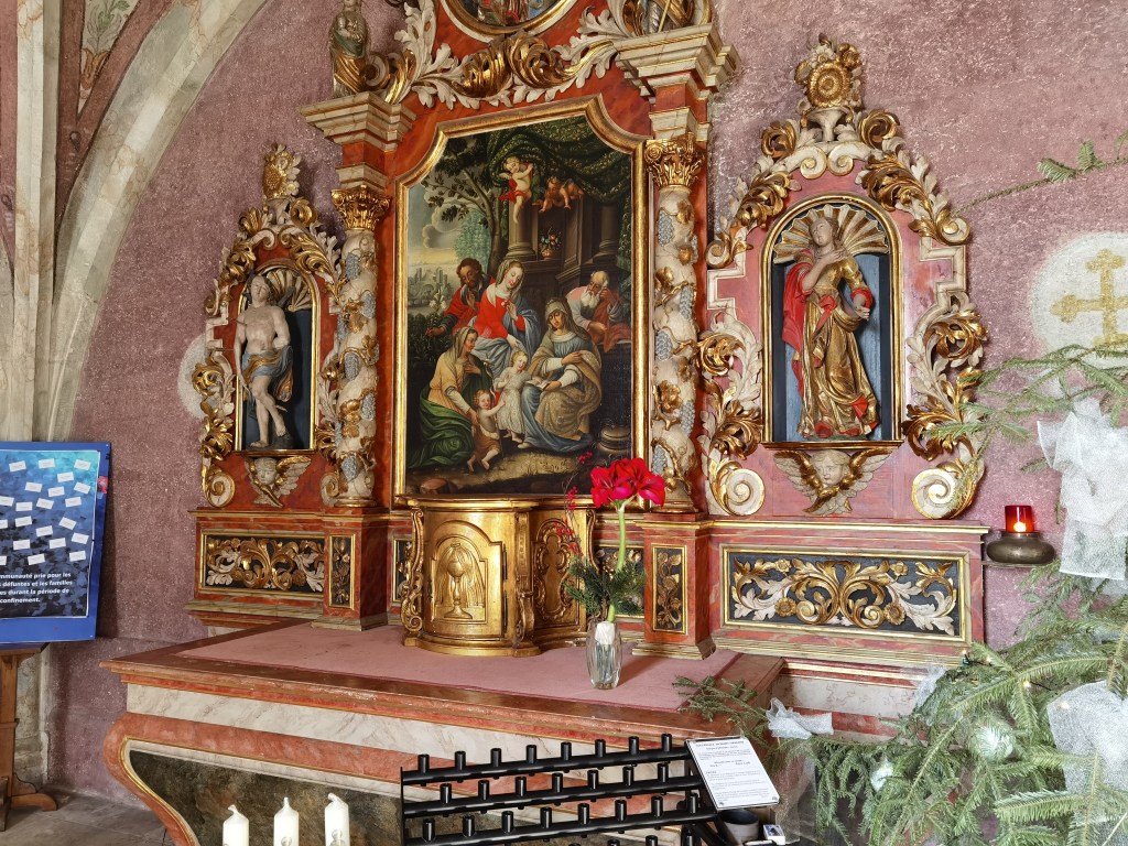
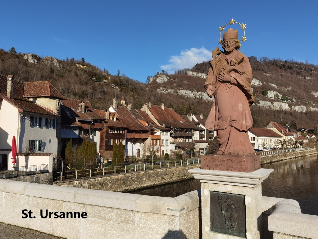
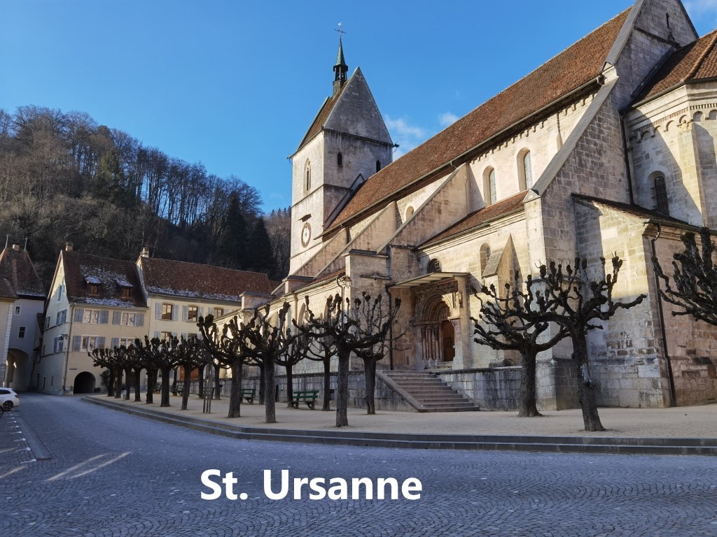
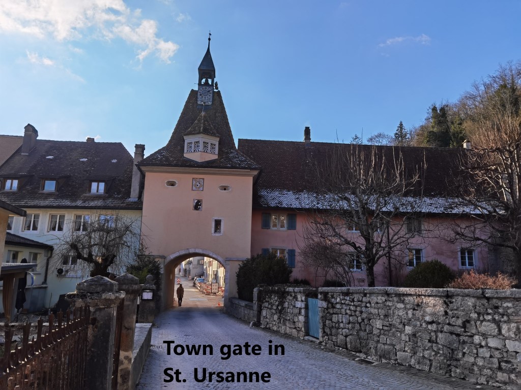
St. Ursanne is an interesting town, situated on the river Doubs. And perhaps one of the most interesting aspects of the town is its Irish connection. The legend has it that Saint Columba left his abbey in Bangor in Ireland about the year 590 to carry out an evangelical journey across Europe. One of his followers leaving Ireland was Urscinius. Columba founded monasteries in France and Italy, but Urscinius is said to have stopped off to live a monastic life in a cave beside the river Doubs. It is said that at the end of his life, he called his followers together to give them his instructions. After Urscinius’ death, and as the seventh century progressed, a community grew up nearby under the direction of one of Urscinius’ followers, Saint Wandrille, which soon became the abbey of St. Ursanne. In 1120, the abbey came under the rule of the bishop of Basel, and a town started to form around it. The town grew to be a centre of commercial, religious, and cultural importance in the region. The town still has a medieval feel to it, with narrow streets and town gates. The church is on the site of an older building that goes back to the eleventh century. The older church was partially destroyed in 1898, and the current building was only completed in 1980.
I enjoyed a wander around the town in the sunshine. It was quiet, with only a few other people around. And then it was time to go on to the railway station. The station is outside the town itself, about half a kilometre up the hill to the east. And from there, it was a simple journey back to Basel.
Finally, my step count for the day was 36934.