
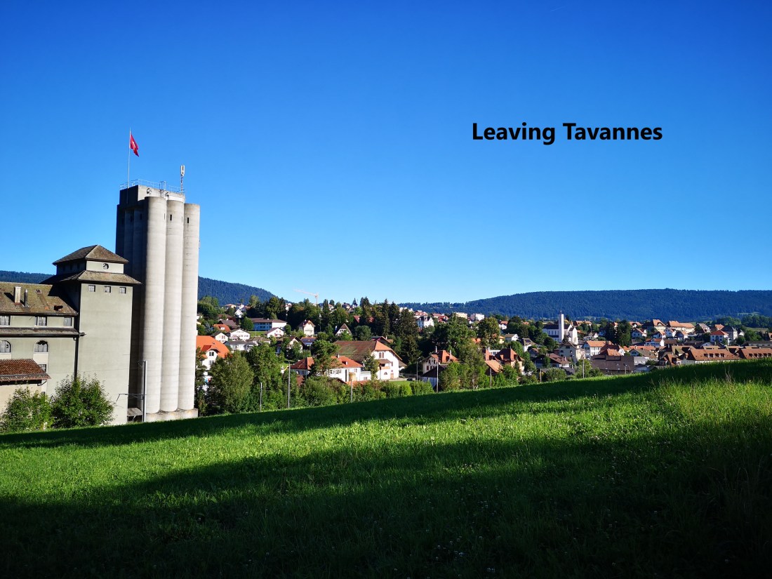
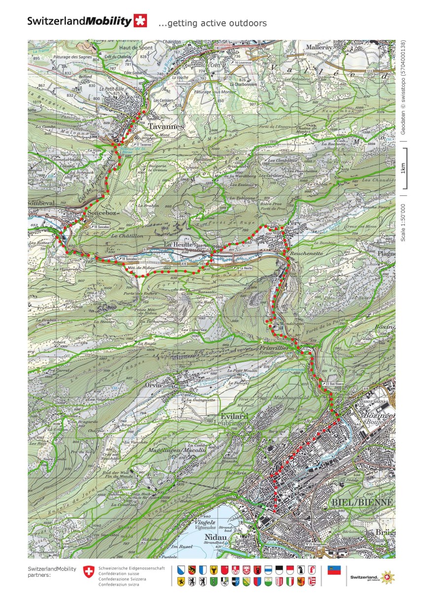
My route south continues. On August 18th I took the trail from Tavannes to Biel. It meant taking an early train from Basel, and I was leaving Tavannes with the sun just over the Jura peaks to the east.
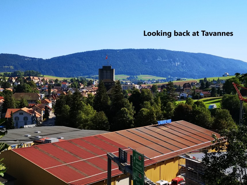
From Tavannes, the route slopes upwards, giving good views back to the town.
The first place of interest that I came to was The Source of the Birs. The Birs manages to flow northward from this point, avoiding the heights of the Jura until it reaches Basel, where it enters the Rhine. I would have liked to see the spring that feeds this river, but it has been tamed and enclosed to provide baths and freshwater spa treatments for tourists and the well to do. So I did not stay, but moved on. And so I came to the Pierre Pertuis.


The Pierre Pertuis is a natural arch of limestone rock with a small road going through it. The arch must have been worn away by millennia of water flowing through the limestone. It serves to show that in the longer term, nature has its own powers.
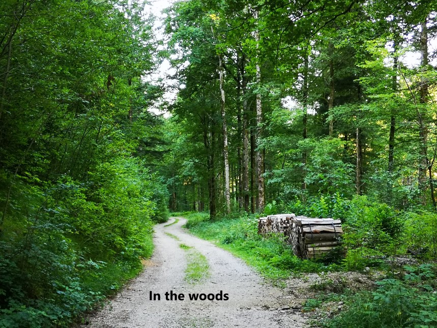
The route goes on through the forest to reach the Col de Pierre Pertuis. It seems in walks through the Jura there is always forest.
And so I came to Sonceboz. I took a slight short cut, avoiding the centre of the village, just skirting around the edge of it. And soon I was on the trail out of town, beside the railway, and a small river (the La Suxe), before coming out into open farmland at Metairie de Nideaux.


I went on eastwards through the small village of La Heutte. The valley and the trail in front of me seemed to be heading upwards and eastwards, back into the mountains, but I knew my route had to turn south before long. And sure enough, coming to the village of Pery, I could see a cleft in the hills to the south.
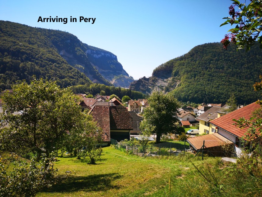

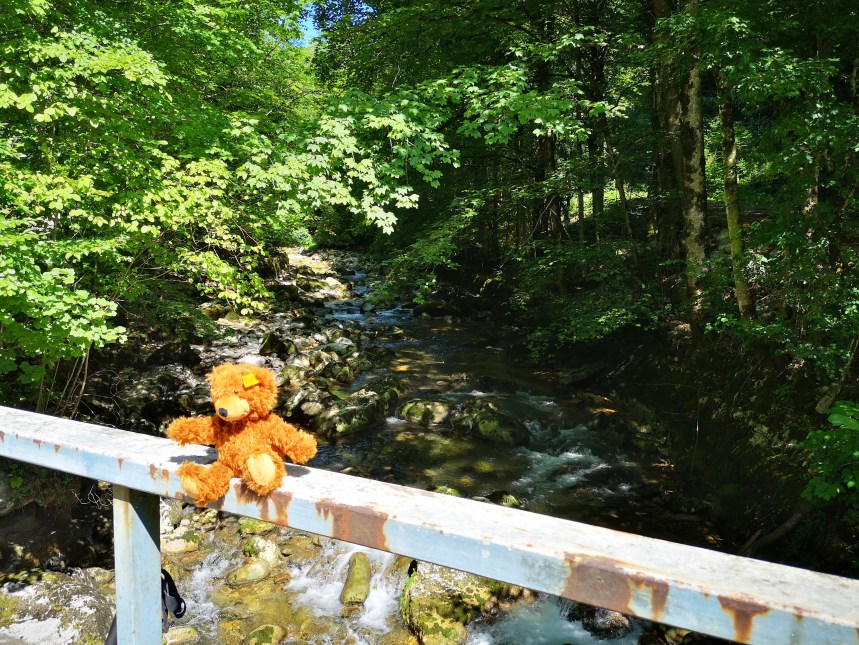
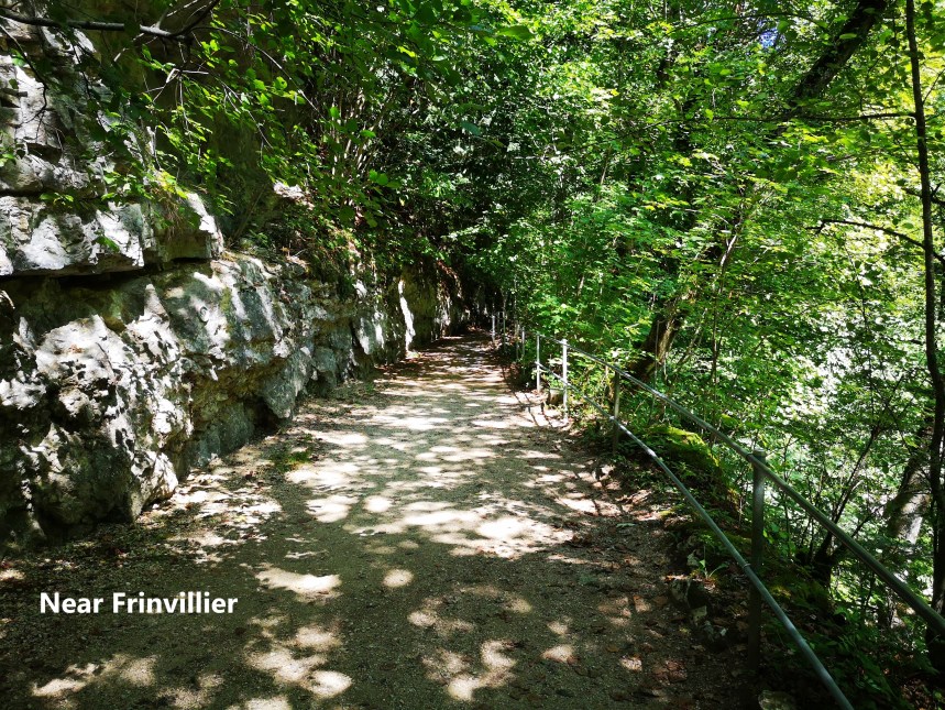
From a distance it looks narrower than it is, but the cleft is wide enough to hold the village and a very large cement works. The trail goes south, through Pery, and past the cement works, following the river to come towards Frinvillier. Even Charly found the scenery interesting
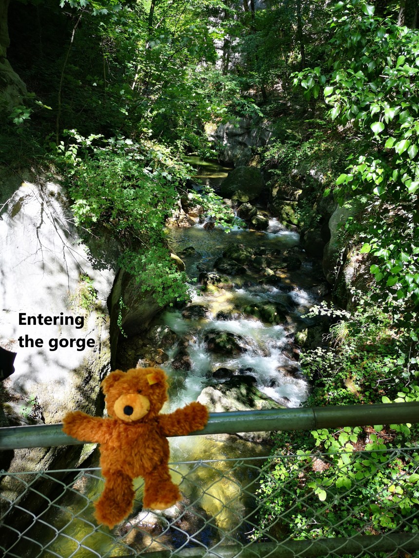
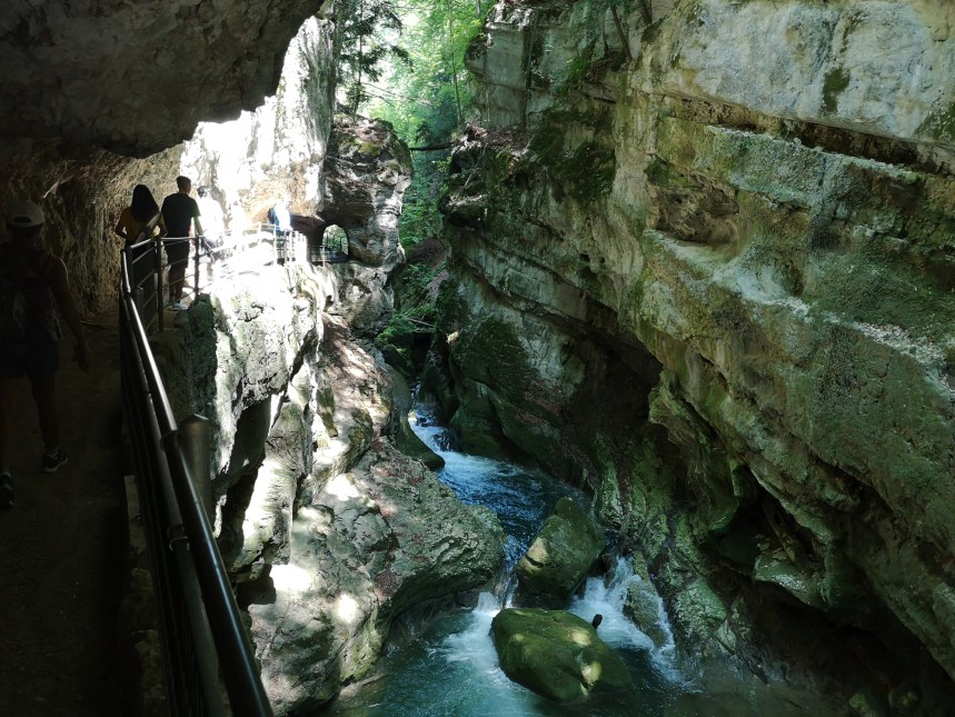
After Frinvillier, that gap in the mountains becomes even narrower, until it is just a gorge. Every gorge has a name, and this one is called the Tubelochschlucht. The river has eroded a deep cut in the rock and hollowed out holes in the cliffsides. In places, the gorge is so narrow that falling trees from the tops of the cliffs have become wedged in the gorge, bridging the gap. The path criss-crosses the gorge, from one side to the other and back again as it hugs the cliff face. Once again, Charly was impressed, and that was not even the narrowest part.
Eventually the gorge opened as the route came to the edge of a town. I arrived in Biel, but at the other end of the town from the railway station.
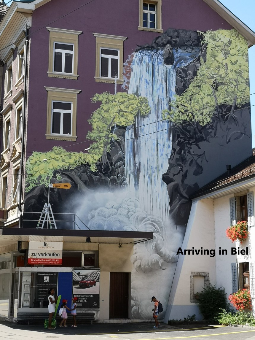
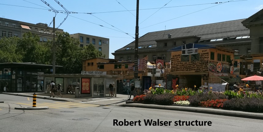
It takes almost half an hour to walk the length of the town to get to the station. When I got there, I was greeting by what seemed like a giant tree house, but standing on the ground. It was an installation by Robert Walser. Is it art? Is it trying to send a message? I cannot answer. Every visitor must make up their own mind.
From Biel, I took the train back to Basel and home. Biel marks the end of the Jura stages of this journey. I will come back to this journey another day, going south on the pilgrim route from Basel towards Geneva. The next stage will be through the vineyards of Switzerland’s lake country and beyond. And I will write it here.
Finally, the step count from last Sunday was 43,071.

Biel is a paradise itself, makes me think there are awesome places like this, so rich in the beauty and wonders of nature. I like the picturesque scenery along the way as you walk the walk. I can’t wait for more. Thanks for sharing. Kudos for another achievement! – Addie
LikeLike