
Having temporarily left my project of walking towards Santiago de Campostella, I am back to my project of walking around Basel and Basel Landschaft cantons.
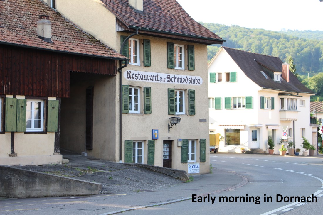
Dornach was where the last stage ended, so it was where this one started. I arrived on an early morning train and started walking immediately. The trail follows the railway line for a short distance before making its way through the older part of town and out into the countryside.
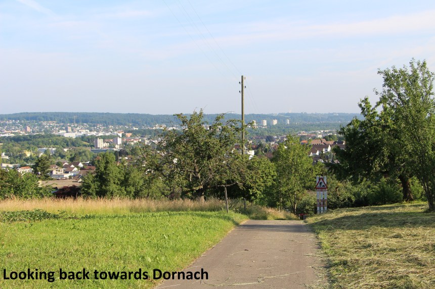
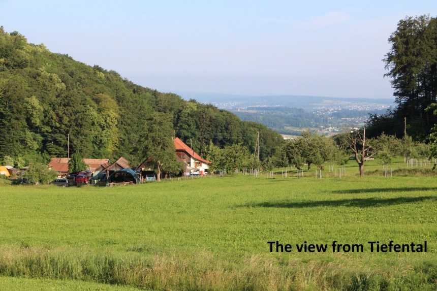
After the initial steep ascent to high ground, the trail goes into the forest before emerging into Tiefertal. There is a farm there, and the trail winds around the back of the farm to where there are great views down the valley towards Dornach, and Basel further on.
Then the trail goes back into the forest, ascending as it goes, until it reaches the tiny village of Herrenmatt. Even though it was still early, the villagers were up and about. This is farming country, and there were animals to be attended to. The one bar in Herrenmatt was not yet open, but they had an ice-cream fridge outside. It works on an honour system: you choose your ice-cream and you drop the appropriate money in a little box. The cooling refreshment was welcome!
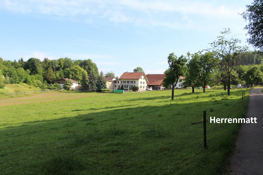
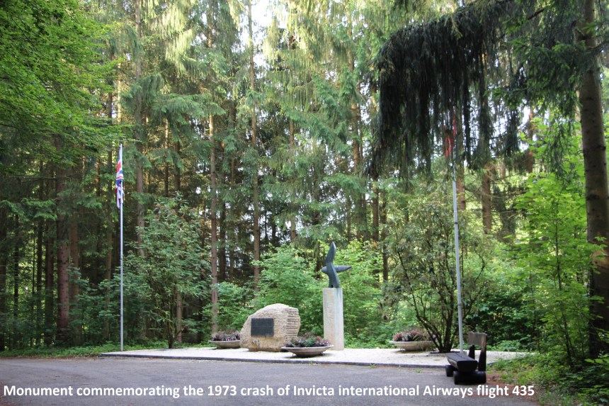
In 1973, tragedy came to Herrenmatt. Invicta International Airlines flight 435 was on its way from Bristol in England to Basel and crashed into the hillside a few hundred metres south of the little village. There were 139 passengers and also crew on board the Vickers Vanguard 952, 145 people in total. There seems to have been confusion over the approach beacons to Basel airport, and shortly after 9 AM on April 10th 1973 the plane crashed into the snowy wooded hillside. 108 people were killed and 37 survived. The survivors were helped to nearby farmhouses while emergency crews made their way to the scene. One can only imagine the shock to the villagers from the event. Today, the site is marked by a simple monument.
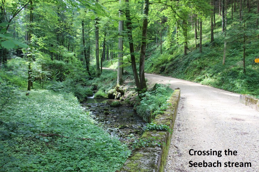
From Herrenmatt, the trail goes south, mostly through forest, until it reaches a junction of multiple trails at point 573. My route followed the trail towards Grellingen, and I was soon losing the height that it had taken considerable effort to gain. Just after passing some limestone cliffs, my route took a left turn, contouring around below those cliffs on a rough path. That brought me to the road in Seetel, and then onto a good forest track. The track crosses the Seebach stream before ascending again.
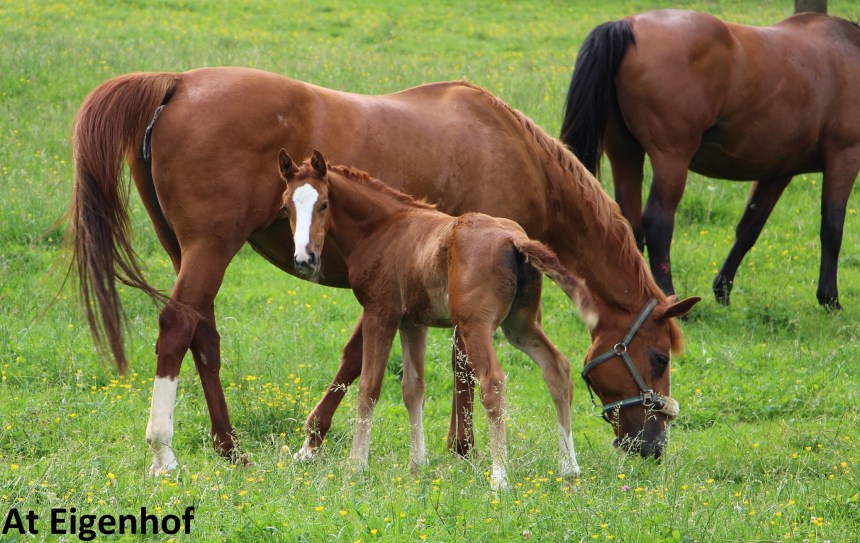
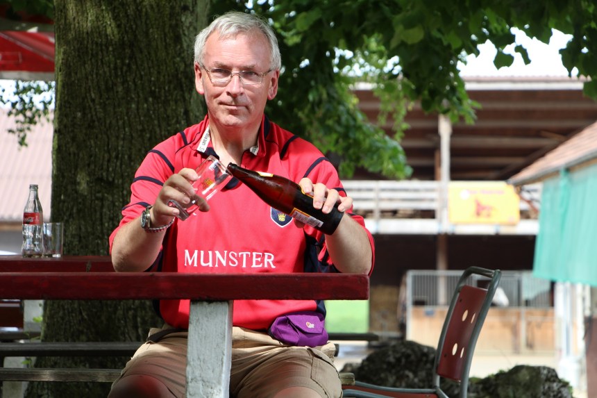
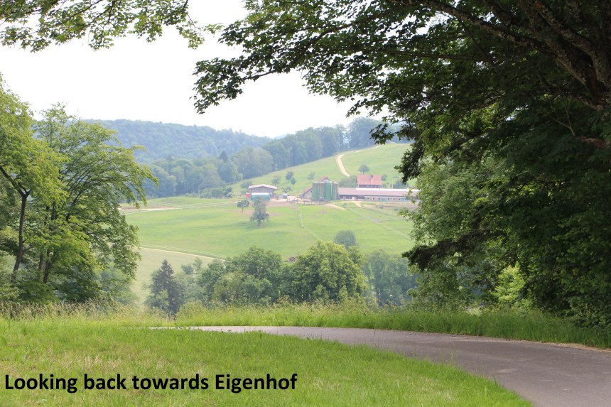
From the Seebach stream, the ascent is on good forest tracks to the farm at Eigenhof. I was following the waymarks, but somehow I missed a turn onto the road that leads directly to the farm, and instead stayed on the forest track. Luckily, just as the track emerges from the forest, I could see Eigenhof on the hillside above me, and a short track to my left brought me back onto the right route. Eigenhof is a farm with cattle and horses, but it is also one of those establishments unique to Switzerland that are most welcome to walkers. The farm also has a bar! Such places are marked on the maps with a special symbol, and I was looking forward to a beer, which I duly enjoyed.
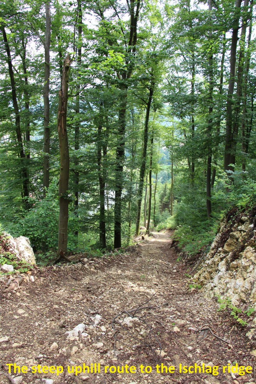
And then I went on. I went down through the forest, first to the Nuningerstrasse, and then on by the forest trails to the Chastelbach stream. A sharp right turn brought me onto a trail leading towards Grellingen. But I wasn’t going there so just before the railway line, I took a left turn heading uphill again. It is steeply uphill on a rough track, but it brought me to the Ischlag ridge. I was off the waymarked trails now, and the tracks in the forest were somewhat confusing, but I made my way to Schindelboden and down to the Chaltbrunnetal valley below.
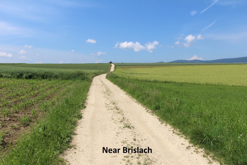
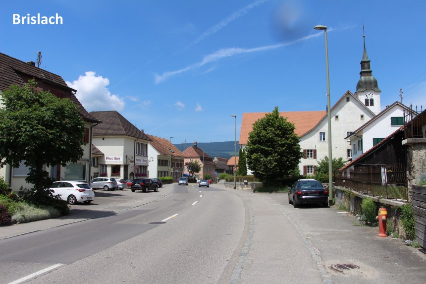
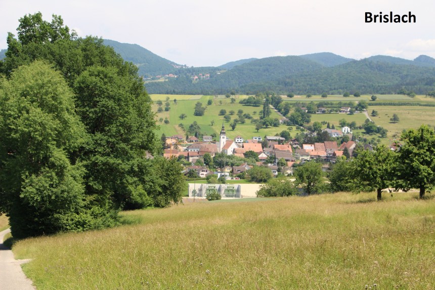
There was a further short uphill stretch through the forest before I arrived into open farmland of wheat and Barley on my way to Brislach. Brislach is a substantial village, and its facilities even included a bar, which was an excuse for another beer.
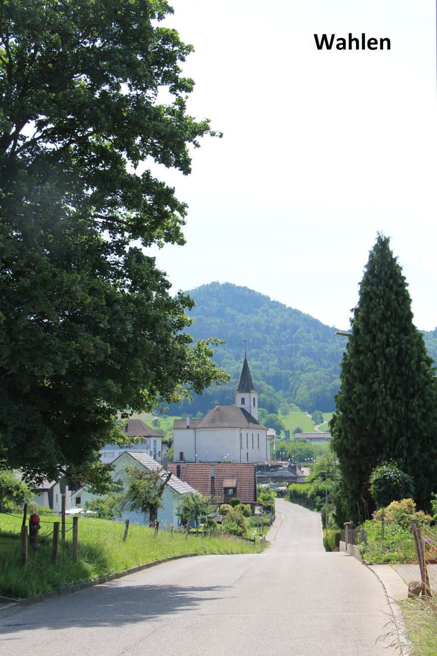
I took a back route out of Brislach, running parallel to the road to bring me to Breitenbach, and then onto Laufenstrasse. I don’t like using roads, but this one had a pedestrian path and cycleway running alongside, which was welcome. And then I turned onto Breitenbachweg to reach Wahlen.
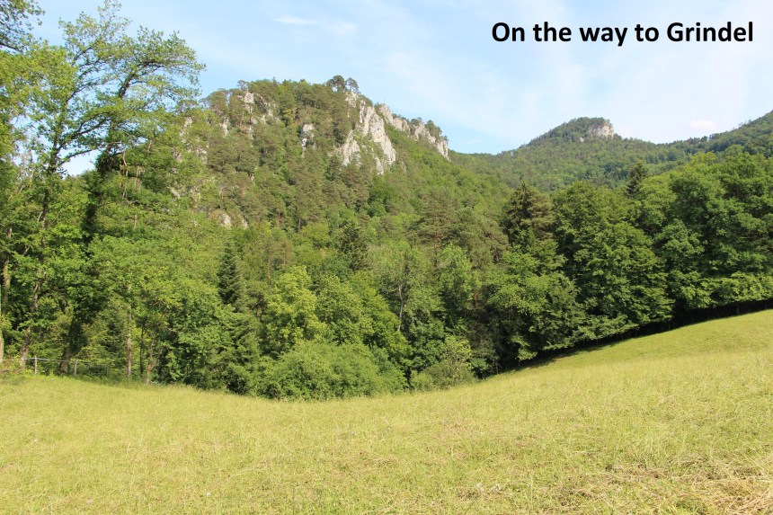
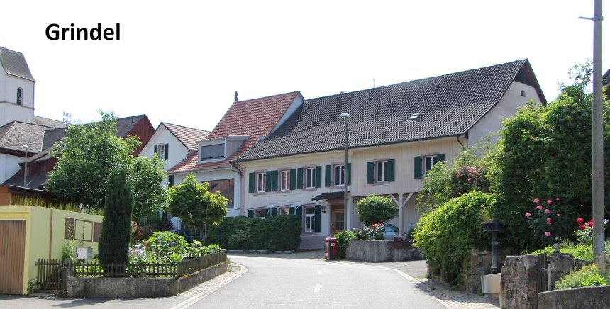
From Wahlen, I followed the trail directly to Grindel. It is a long slow ascent from Wahlen at 400 metres to the Rütliberg at 630 metres, and at times I seemed to be going forever on poor quality forest rails, but I got there. From the Rütliberg, it was a short distance downhill into the village of Grindel and the bus to start the journey home.
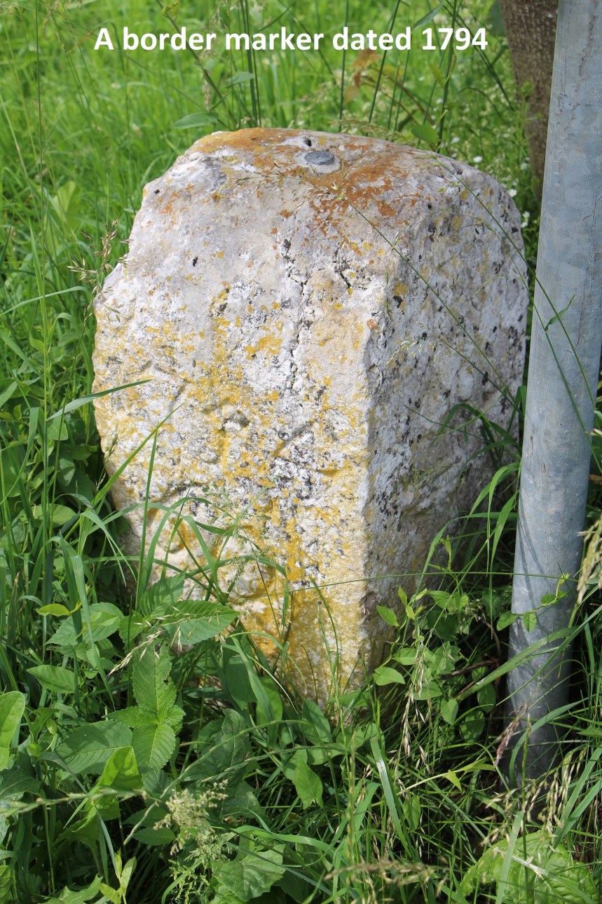
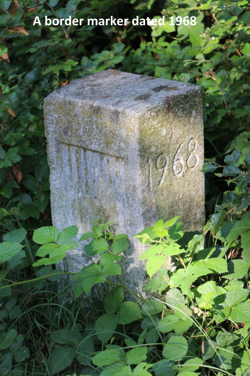
Unfortunately my route on this section did not allow me to stay as close to the actual cantonal border as I would like, and so I did not see very many marker stones. I only found a few, but they span almost 200 years, the earliest of the day being from 1794 and the most recent being from 1968.

Nice pictures and descriptions. It looks like I’ll have some reading to catch up on.
LikeLike