
Stage 2 of my project to walk the borders of Basel began exactly where the first stage ended: at the Birsfelden power station.
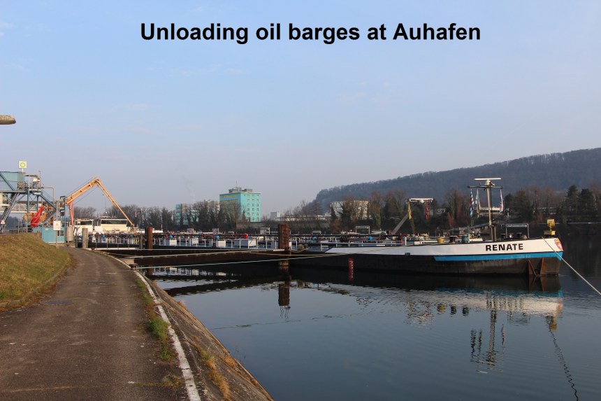
I started out early in the morning, a light mist still hugging the river. The trail follows the southern (left) bank of the river. This stretch of the walk is part of the Swiss regional route 60 which goes all the way from Basel to Kreuzlingen on Lake Konstanz. That meant that this part of the route is well signposted. It is also relatively flat, which makes for easy going. It sometimes seems like the port of Basel used to be entirely to the north of the city, downstream of the last Swiss bridge, between that and the German border. But now there is a substantial port upstream of the city at Birsfelden and Auhafen. And so the first place of interest on my journey was the port area. Mostly it seemed like oil traffic. There were large oil storage tanks on one side of the path, and the river with its barges on the other. In some places, there was even a faint smell of petrol. But it was not all petrol. One barge was unloading grain, and another unloading gravel. This is a busy place.
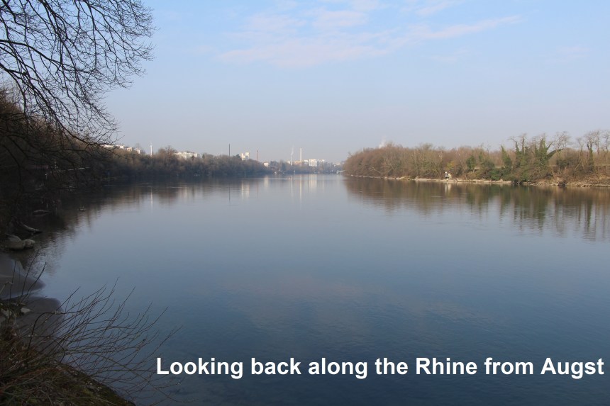
After Auhafen, the route is less industrial. At one point I could see a pair of swans taking flight to go a short way downstream. Swans are beautiful birds, but when watching them take flight they seem ungainly, building up speed with wings frantically flapping and noisily beating the water before they clear the surface and are airborne. I was minded to compare this with the seemingly effortless flight of the eagle or vulture that I saw the previous day near St. Chrischona. Different birds can be at home in different elements, in the air, on the water or on the land. So I guess the swans make the best compromise to manage two of those successfully, whereas that eagle or vulture was only managing one. In any case, the route followed on along the river bank, just occasionally detouring to go around a particular property. On my left was the Rhine and on my right were the trees, but the road was just beyond those trees and the noise of traffic was never far away. But the city was well behind me when I came to the power station at Augst. I saw no border markings along this section of the route. I guess that when the border is based on a river as big as the Rhine, you don’t need any other markings.

At Augst, the borders of Basel-Landschaft turn south, following the river Ergolx. This tributary of the Rhine, although not large, is still substantial. However, after just a few hundred metres, the border leaves the Ergolx and follows the much smaller Violenbach.
People with the benefit of a classical education may well have studied Julius Caesar’s account of his Gallic Wars. One of the first groups he conquered was the Helvetii in what is now Switzerland, and Augst became the site of a major Roman settlement. The town is rich in archaeological sites and worth visiting for this alone. The main site is preserved with amphitheatre and other remains. But I was here for walking, and just passing through. I skirted the edge of the town and took up the road leading to Giebenach before taking the quieter farm track on the left. This track runs parallel to the motorway that links Bern and Basel. People talk about the roar of traffic, but it is not. Motorway traffic is more like a whine, at times almost approaching a scream. I followed the trail under the motorway to join the road again coming into Giebenach. This last piece needs some care, as there is no real footpath, and although the road is not exactly busy, it does get some traffic.

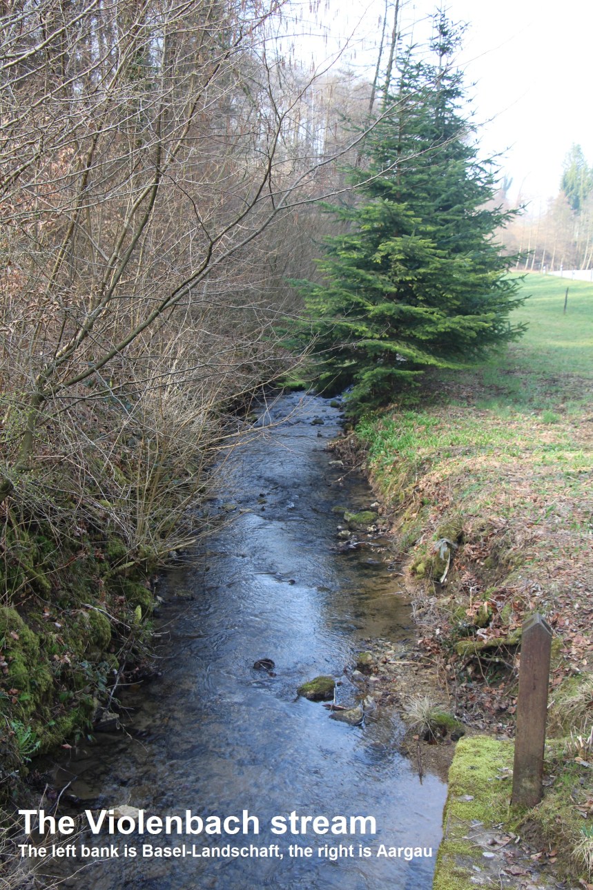
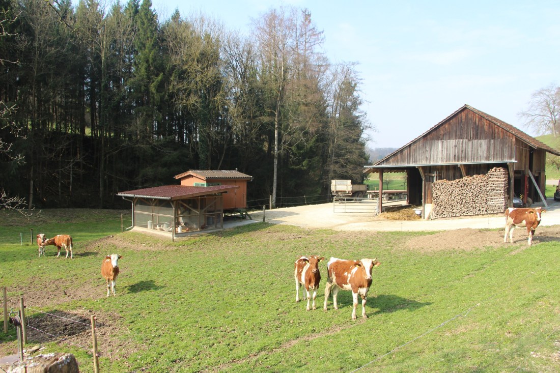
From Giebenach, my route once again went under the motorway and emerged into farmland. The road signs told me I was leaving Basel-Landschaft, or Baselbiet as it is more conveniently known. Basel-Landschaft separated from Basel Stadt in the 1830s. Up to then there was one Basel canton, but after political conflict occasionally violent, the two separated into two half-cantons. As I crossed over into Aargau canton, I was able to take advantage of local waymarking again. The trail goes into the woods on the south side of the Violenbach for a time before coming down and crossing over to the northern side of the valley. This is agricultural land, serene and quiet, with the noise and smells of the city, the port and the motorway traffic all behind me.
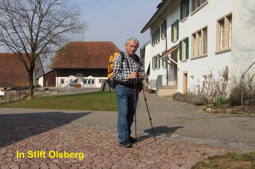
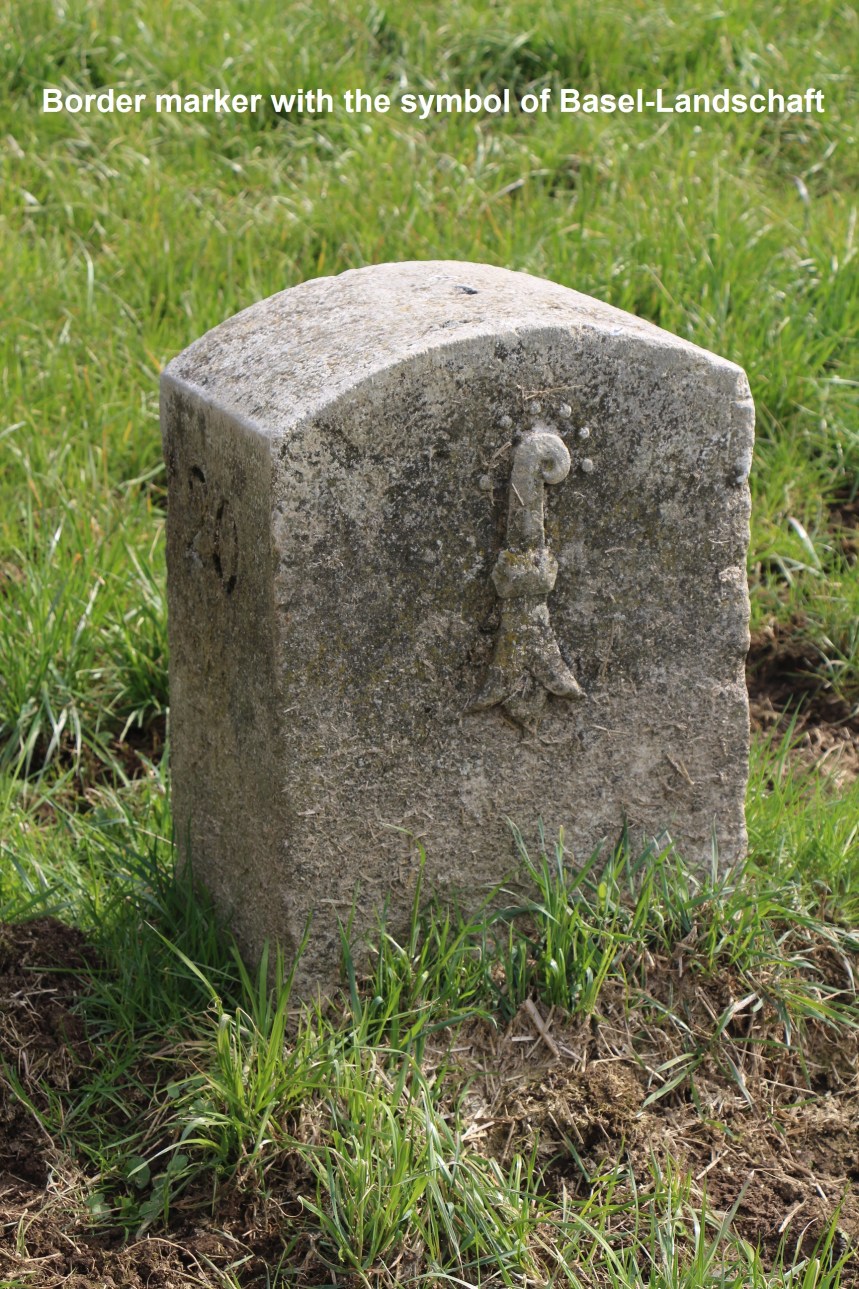
I soon came to the settlement of Stift Olberg. This was a monastic settlement dating back to the 13th century. I was hoping to visit the church, but it was closed, so I went on to Olberg itself. Taking the road out of Olberg, I left the waymarked trail to follow the Violenbach as far as the farming settlement of Sennroeid. By now, I had come so far upstream on the Violenbach that it was just barely more than a trickle. It was on this stretch that I saw my first stone border marker of the day. On one side was the symbol of Basel-Landschaft, and on the other the coat of arms of Aargau and the date 1890.
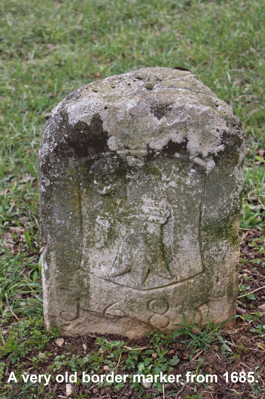
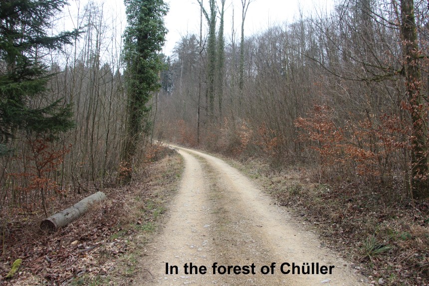
From Sennroeid, the trail doubles back before ascending into the forest of Halmet. I was back on waymarked trail now, which actually contributed to my first map-reading error of the day. I missed a slight right turn that would have followed the contours of the hill, staying in the forest and very close to the cantonal border. But instead I followed the waymarks to come to the village of Hersberg. Going around the edge of the village, I came to the oldest border marker I have seen so far. It was dated 1685, and carried the symbol of Basel, as it predated the cantonal split. My map-reading error in the forest meant that I now had to follow the road to get to the village of Nussdorf. Some care is needed following the road as there are no footpaths and it is necessary to stand in to the side at time to avoid traffic. And it was in Nussdorf that I made my second error of the day. Somehow, I missed the trail that would have taken me into the forest of Chüller, and instead found myself on the road between Nussdorf and Sissach. But realising my error allowed me to get back on track and I was soon into the forest. The route through the forest is of mixed quality, slightly overgrown and without markings in some places, and clear in others, but it is more or less a straight path all the way to where I emerged into fields above the town of Magden. That trail through the forest is made somewhat easier by following the cantonal border along the crest of a ridge. I did see one stone that was clearly a border mark, but so badly worn as to be illegible.
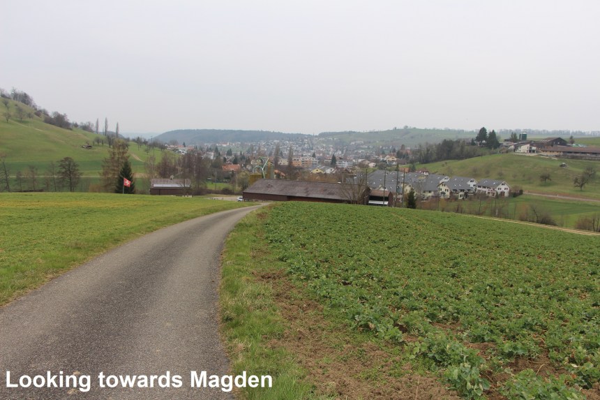
The local farmers were out in those fields above Magden, spreading slurry and giving a distinctly agricultural aroma to the day. It is not the most pleasant of smells, and I descended quickly into Magden. Ideally, I should have come out of the forest earlier, but there was no easy route that followed closer to the cantonal border. Magden is in Aargau canton and I followed the trail again to go up onto the Ӧnsberg. This section of the route skirts the forest again, and crosses the border from Aargau back into Basel-Landschaft, descending to the village of Maisprach. And from there I got the bus home.

This section of the route overlaps with some waymarked trails, but there are many parts of it where good map-reading is required to find and follow the route close to the cantonal border. Let’s hope I make fewer mistakes on the next stretch.
