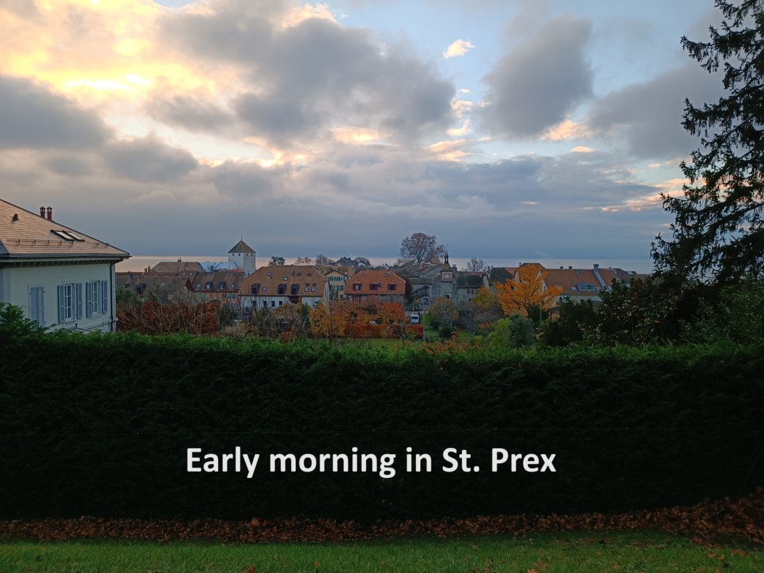
Very quickly after arriving in St. Prex, I was back there again to continue on the way towards Geneva. The previous day, I had followed the Via Jacobi for the very last few hundred metres in order to reach the train station, but arriving there brought me back onto the official Alpine Panorama Weg. The two routes join up at the station and go together from there. So, when the train brought me back to St. Prex, all I had to do was start walking and I was immediately on the trail.
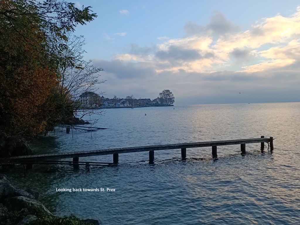
The route goes south from the train station, reaching the old part of the village near the lake shore. On this early morning, everything was fairly quiet. I didn’t spend much time in the village itself but continued on my way. In the village, the trail turns westwards, and follows the shoreline through the district of Moraine to Coulet.


After that, the route turns north again, but only as far as a small road, which it then follows westwards, ever westwards. The village ends, and then there were some fields, even a couple of small streams to cross. That brought me to the village of Buchillon with its small church. I have come this way before, and then the church was open, but today, it was closed.
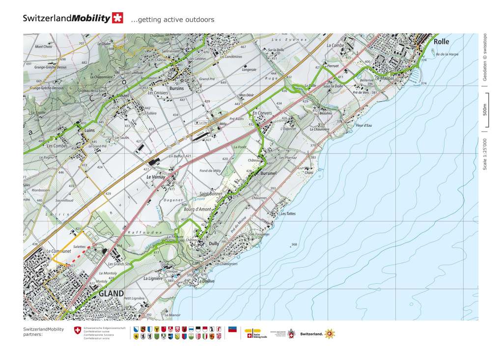
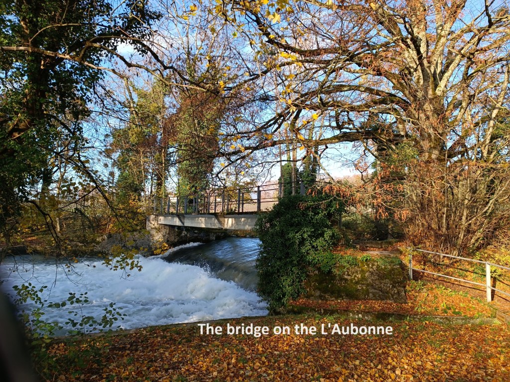
After Buchillon, I was back onto fields again, before turning north to where the route crosses the L’Aubonne river. After crossing on the bridge, the route is marked as blocked. The reason given is the danger of flooding from the river. I saw no flooding, but decided to follow the warnings anyway, and I took a farm track to bring me to the road at Chaney. I followed the road on into Allaman, where I once again was on the official route.
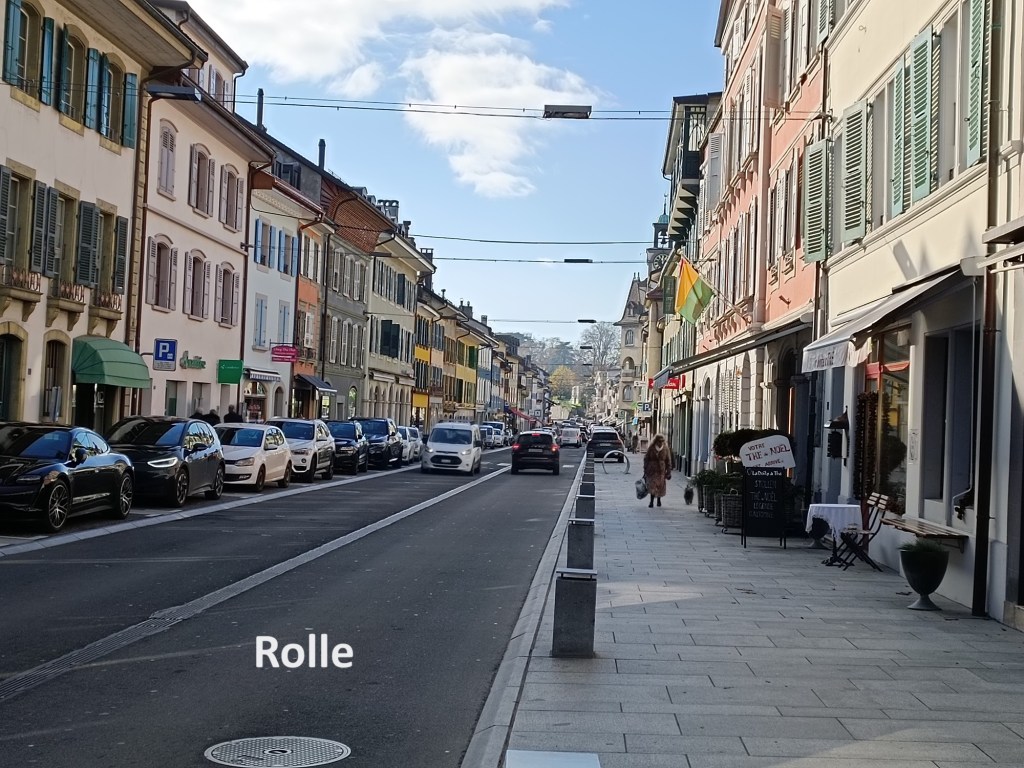
The question was, however, which official route to take. The Via Jacobi and the Alpine Panorama Weg split again in Allaman, the latter following a loop to the north, while the former takes a more southerly route westward. For me, the key issue was that the southerly route would bring me into Rolle, where I might get lunch, while there was little prospect of getting lunch on the northern route, apart from in Arbonne, and I would be there too early. I took the southern route.
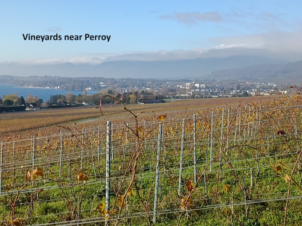
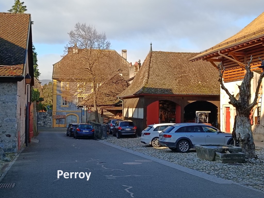
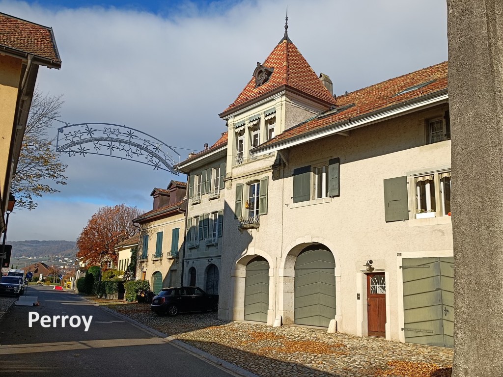
That route meanders around the countryside, passing vineyards that had long since been harvested and were almost bare of leaves, before reaching the village of Perry. I went on through Perry, following the trail back to the shore and on into Rolle. I did indeed get lunch there, in a little pizzeria opposite the castle.


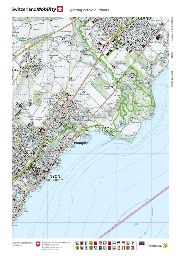
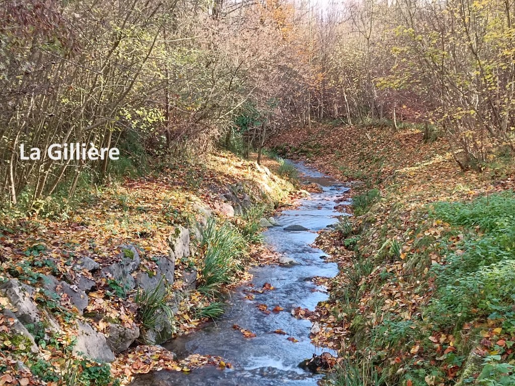
In Rolle, the official trail follows the shoreline, but I chose to follow the main street. I emerged from the western edge of the town and was back into countryside. I followed the trail through some zig-zags across the La Gilli ere. I went on through Bursinel and Dully. After these villages, Gland was a bigger town, but with nothing of note along the trail there. After Gland, the route turned south again, passing a long line of anti-tank obstacles dating back to the Second World War.
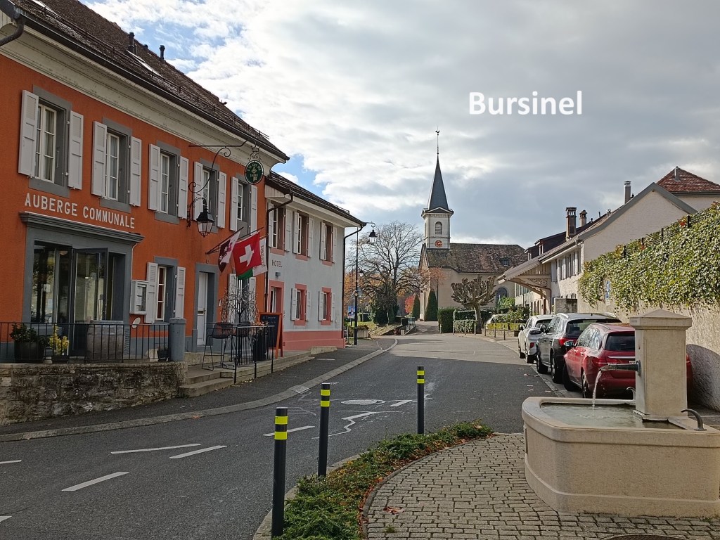
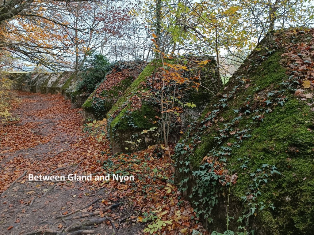
By now, the weather had turned. I had felt the first drops of rain when going through Bursinel. They were few, but they were the harbinger of more to come. By the time I reached Gland, there was a gentle drizzle, and it continues as I passed the line of anti-tank obstacles. After reaching the main road, both the Via Jacobi and the Alpine Panorama Weg go towards the lake shore, though for no apparent good reason. With the worsening weather, I decided to follow the road into Nyon.
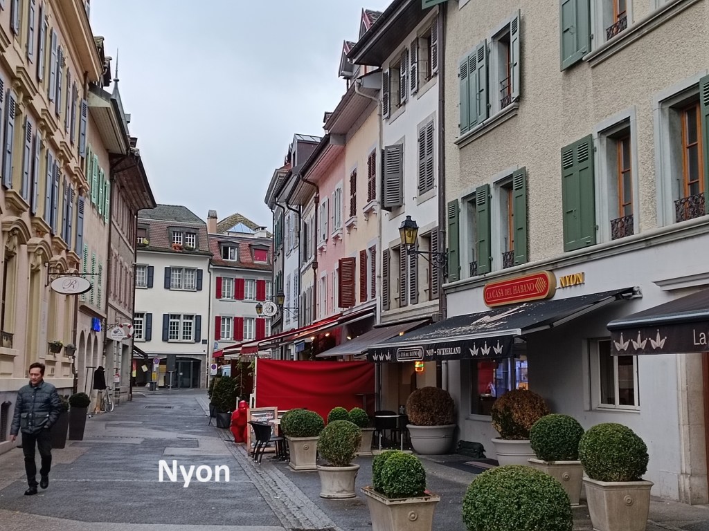
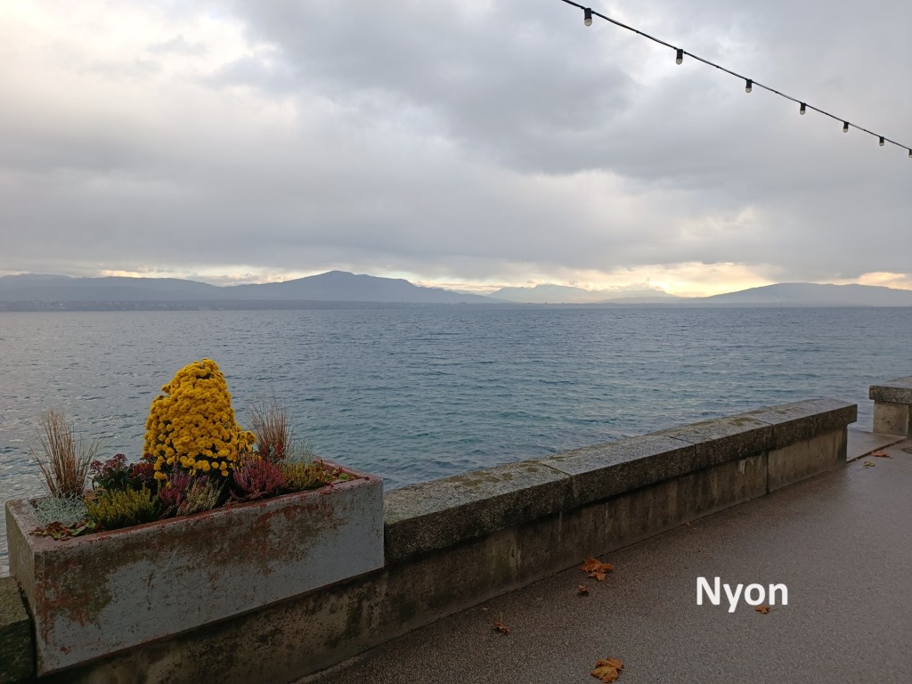
I contemplated stopping in Nyon, but that would leave me with a very long walk on the next stage of the trail. For that reason, I kept on going. I followed that main road on through Prangins to there it reached the lake shore in Nyon. In Prangins, the two official trails, back from their meanderings crossed the main road again to go into the centre of Nyon and the railway station. But with my decision to go on past Nyon, I stayed on the shoreline. The streets were mostly deserted, and the promenade completely so. The day was developing a very wintry feel.
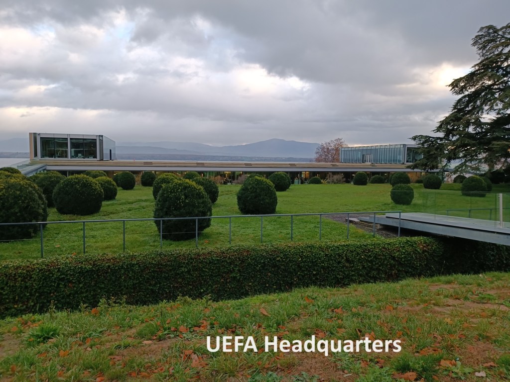
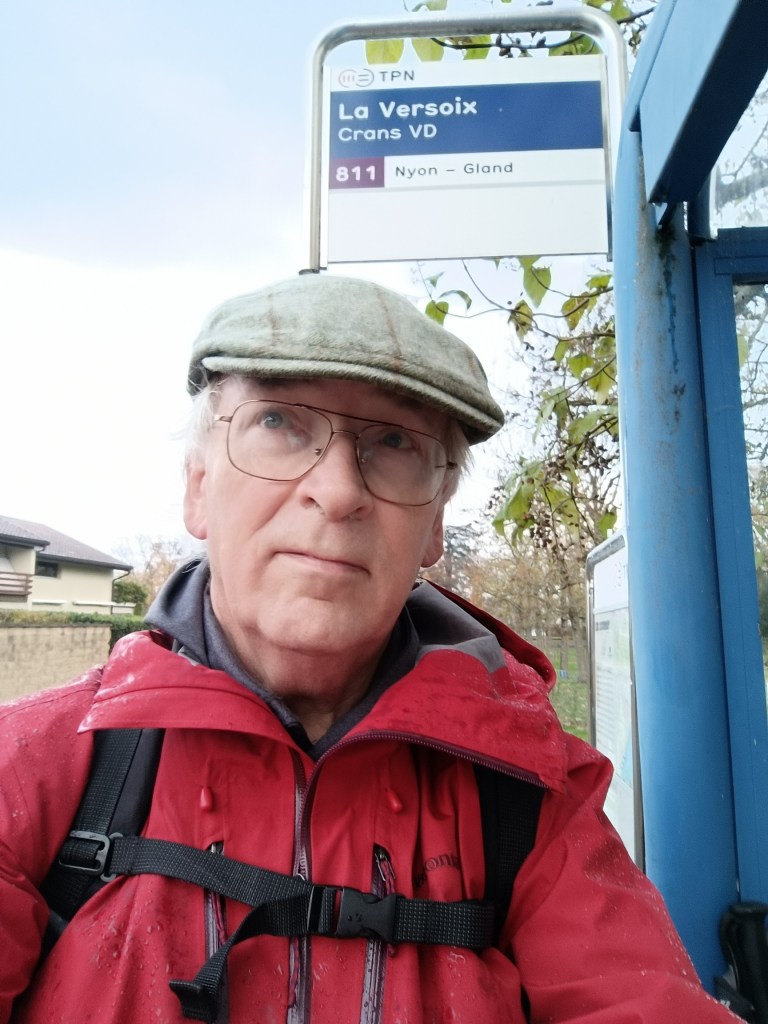
After the centre of Nyon, the road left the lakeshore, but without going far inland. In Lausanne, I had passed the headquarters of the International Olympic Committee, and as I went on out of Nyon, I passed the EUFA headquarters. I continued on, ignoring the settlement of Les Landes, but taking the turn shortly after that to go uphill to the village of Crans. Once there, I decided that was as far as it was practical to go that day, and I joined the group of people at the bus stop waiting for the bus into Nyon. I did not have long to wait, and then I was on my way back to Basel.
My total step count for the day was 51,375.