I was the only passenger on the bus from Châtel-Saint-Denis to Les Paccots. OK, it was a fairly early bus, but I had expected at least a few other walkers or hikers to be on the bus, or maybe a few people going home after a night on the tiles in town. But no, I was the only one.
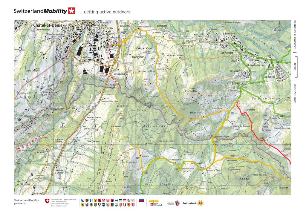
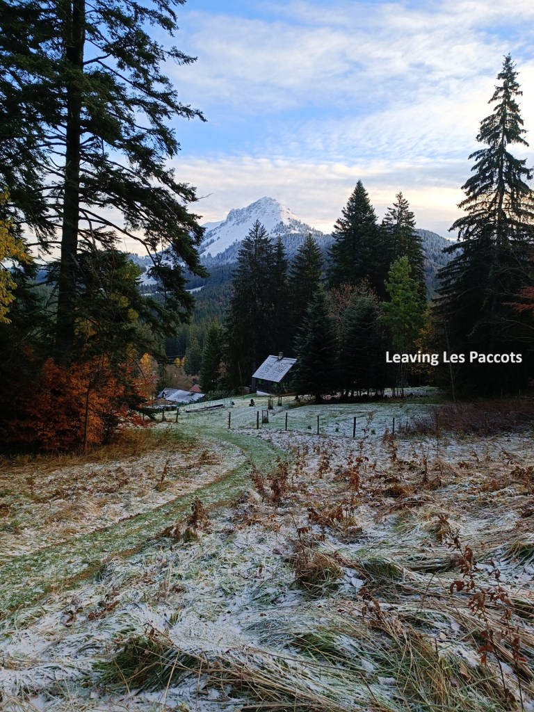
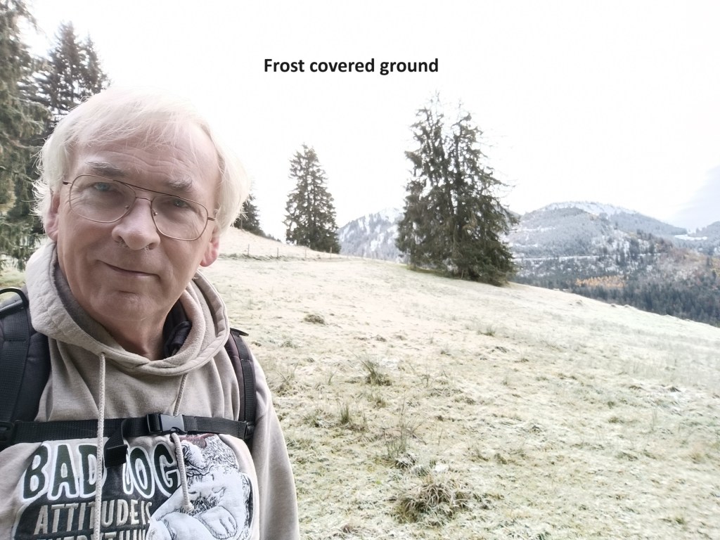
I got off the bus in Les Paccots and immediately started walking. From the bus stop, it was a short walk to get back on the trail. The route follows the road out of town, going uphill. After a little while, I had passed all the private houses and vacant ski chalets, and I was on the edge of the village. The ski lifts were quiet as I went over the hill; all the snow that was there on my last outing was gone. I went on over the hill above the village and started the descent. Just over the brow of the hill from the village, the trail leaves the road and takes to the woods and fields. This was at about 1100m, and there was still a heavy frost on the ground. As I went downhill, it did not take long until I was in green grass with no frost anywhere.
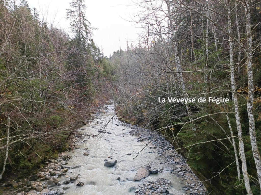
The descent continued, steep in some places, gentle in others, until I reached the bridge over the stream called La Veveyse de Fégire. This small stream seems to mark a cantonal boundary. The exact location of the bridge over the stream is called Passerelle Fégi and is at 1005m. I had lost almost 200m from the highest point on the way from Les Paccots.
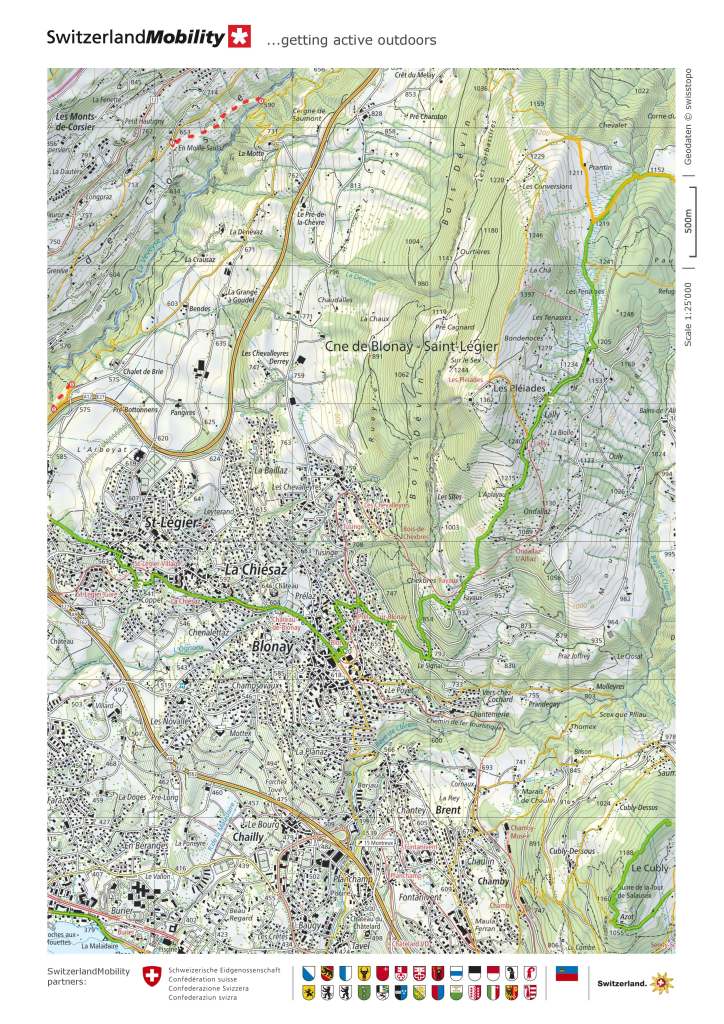
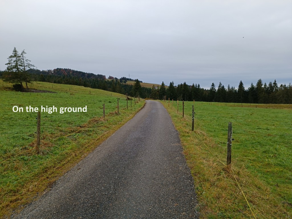
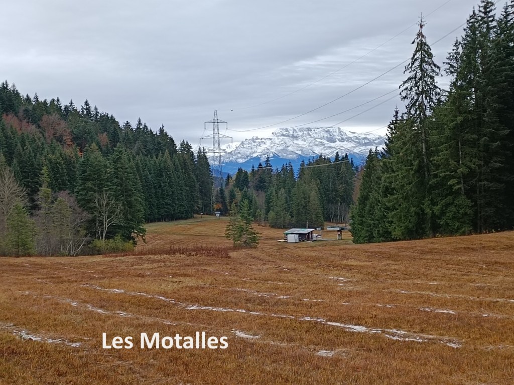
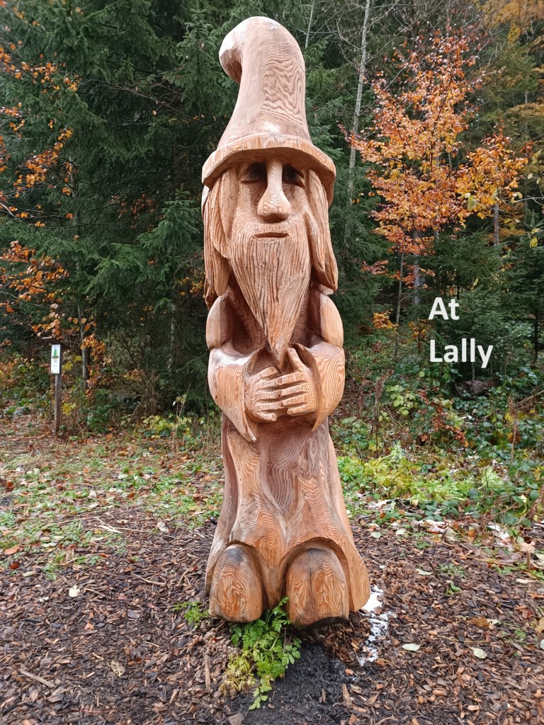
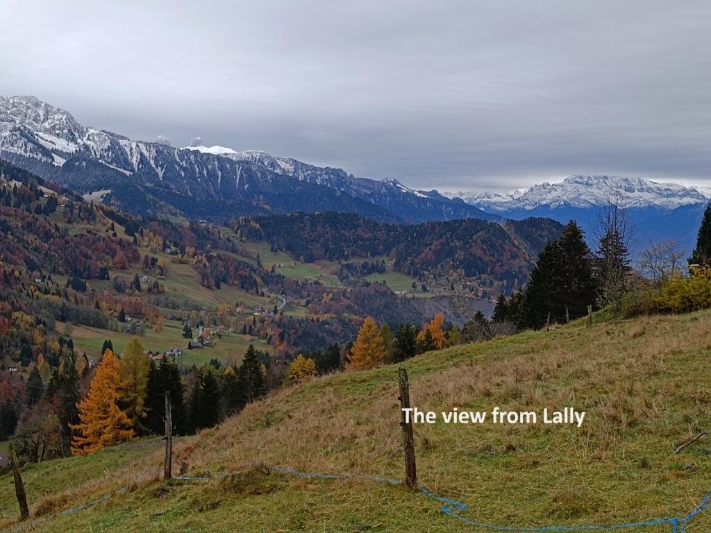
No matter, I thought and went on. There followed a steep ascent to bring me back up to the 1100m level. After that, there was a more gentle ascent of about 35m, and after that, the route was flat for a few kilometres. The trail joined a road and followed it for a while. I passed the Buvette les Mossettes, flagged as a restaurant on the map. Needless to say, in these cold days of November, it was closed, the summer season long over, and the winter season not yet begun. After that, I had a short ascent to the high point at 1219m. The map has this area marked as marshland, and they are correct. Much of this part of the route is on a wooden causeway. Stepping off the causeway immediately has one in the marsh. I followed the causeway on past Les Motalles, and down to the road and the ski resort at Lally. There were a few walkers who had driven to the ski resort and were taking leisurely strolls on the various trails around the resort.
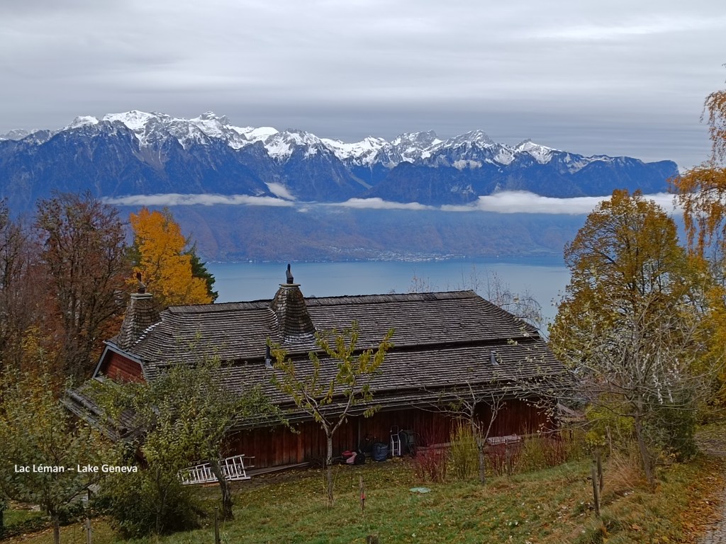
Lally, at 1240m, actually has a train station. There is a rack line that comes up from Vevey to Lally, and even a little beyond. I guess I could have waited for the train to take me down the mountain, but that was not in the plan. I descended on foot. It is not a very steep descent, but not exactly easy either. It was not long before I had my first view of Lac Léman, or Lake Geneva as it is otherwise known. Out of respect to the local people, I will use the French name here.
The descent continued in an almost due south direction, and eventually, after crossing the mountain railway a couple of time, the trail took a right turn heading westwards to the area of Blonay. Blonay is really a suburb of Vevey, and in Blonay, the trail makes a detour to the east to get to the railway station before heading westwards again. I chose instead to bypass the detour, and went straight through the village, taking me past the Château-de-Blonay.

The Château-de-Blonay was built in 1175 by William of Blonay on the site of an earlier residence. Over the centuries, it has been modified and improved, and is still owned by the Blonay family. It sits imposingly above the village that carries the family name.
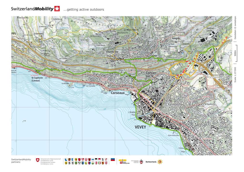
I followed the trail on westward from Blonay. It more or less follows the railway line as far as St-Legier, and then takes to the roads, crossing a motorway to get the to valley of La Veveyse. There, the trail takes to the woods and goes south. The standard route is blocked due to maintenance work, and the alternative effectively takes three sides of a rectangle to get to the other side of Corsier. I chose a different route, going directly into Corsier, and meeting up with the Swiss Via Francigena near the centre of the village. I followed that route on westwards and the Alpine Panorama trail rejoined the Via Francigena just a little west of Corsier.

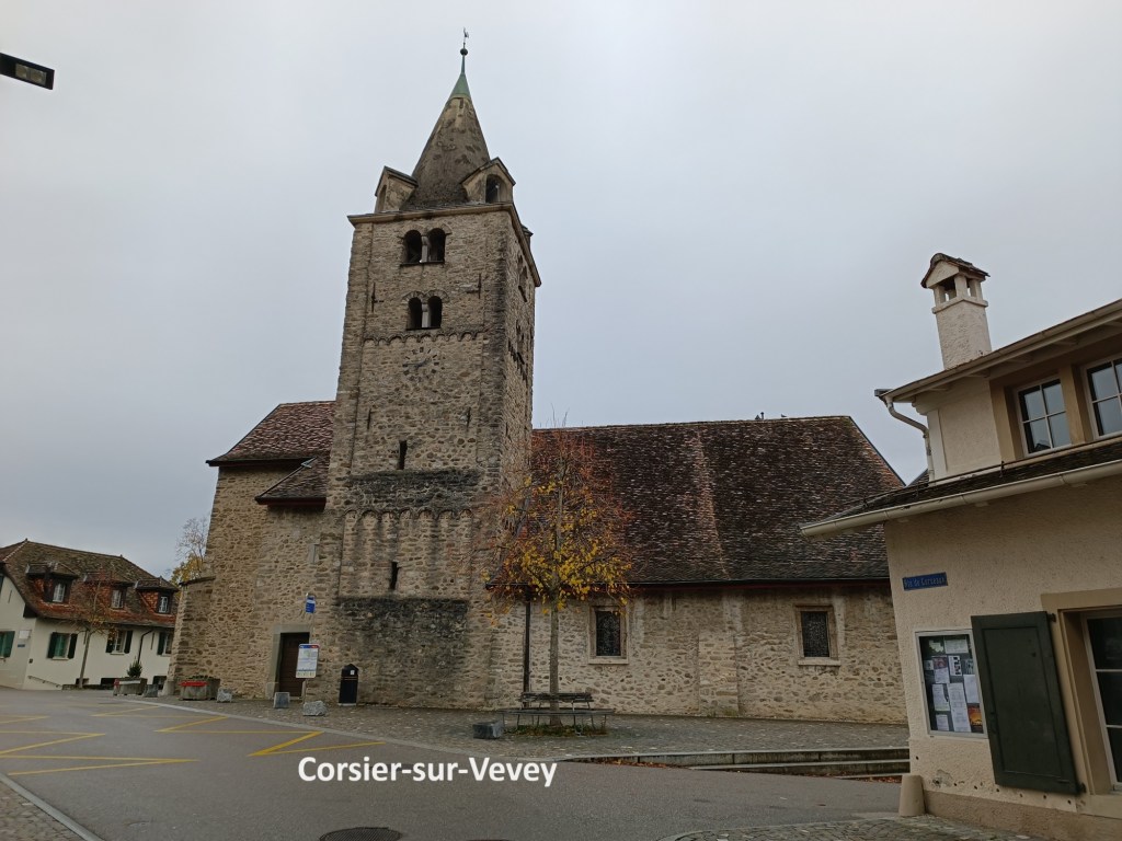
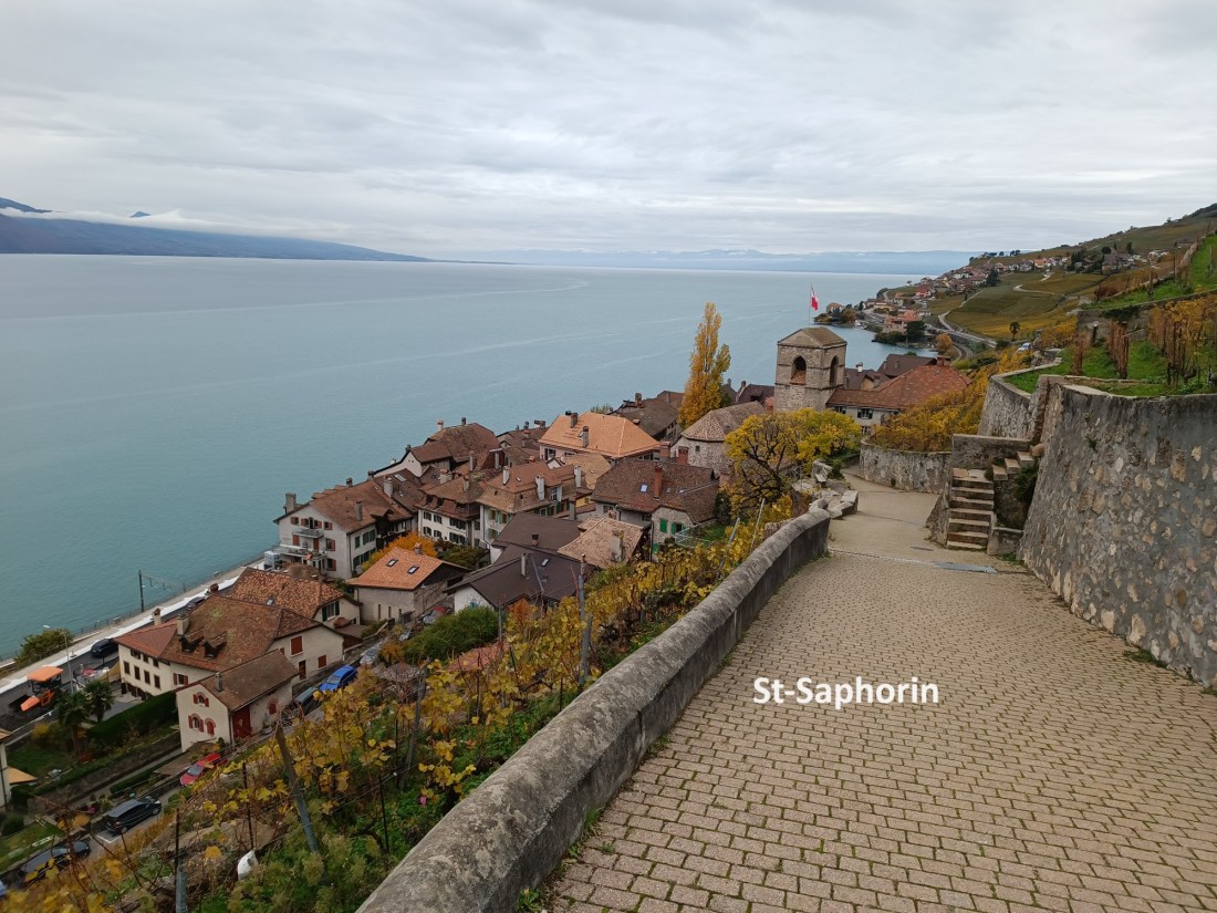
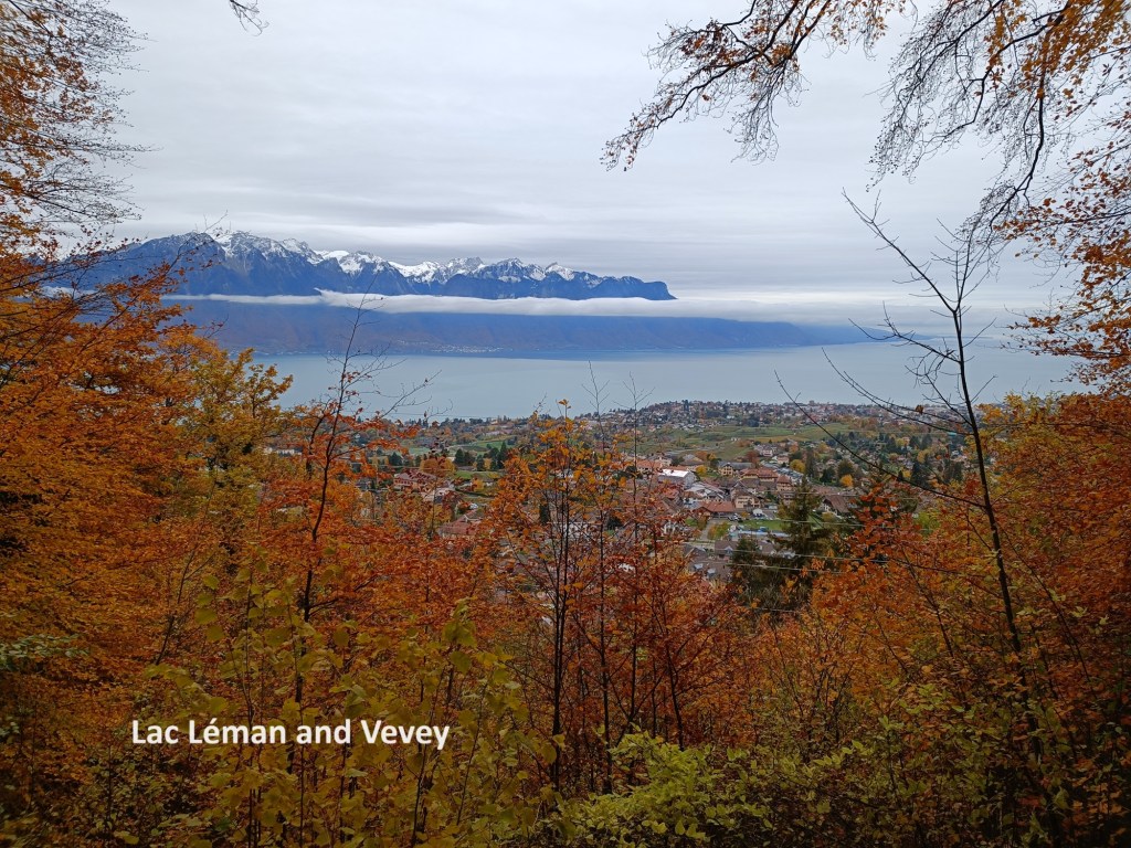
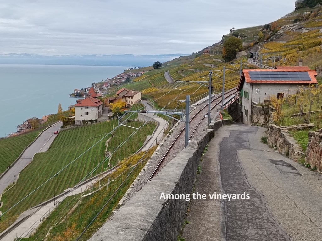
Charlie Chaplin lived in Corsier from 1953 until his death in 1977. He is buried in the local cemetery. There is a Chaplin Centre in the village, and some of the residential buildings are decorated with murals of the actor. James Mason is also buried in the local cemetery. But these dignitaries were not the reason for my being there, and I continued on. It is not far from Corsier to Corseaux, which is nominally the end of this stage of the trail. Nominally, it ends at the junction of the two trails. But I had a mind to go further. From Corseaux, I would have to get to a train station, which would be off the trail, so I figured that I might as well continue. The trail went up the hill a little, and soon I was walking through vineyards. The fruit has all been picked at this stage, and the vines were bare. After a little while, the trail descended again, reaching the lake shore at Saint-Saphorin.

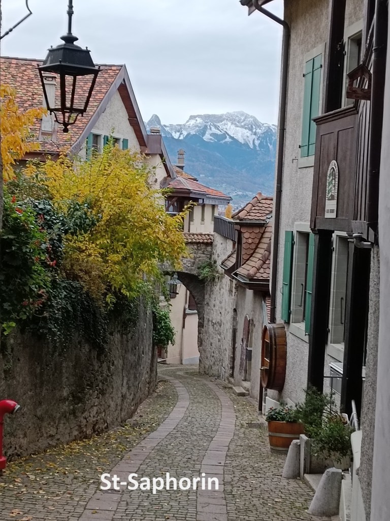
This little village has a wonderful old-world charm, with narrow streets and vintners’ houses. I expect that in summer it would be an ideal place to sit and watch the world go by. But this was not summer, and I had done my walk for the day. I made my way to the station and got the train to return to Basel.
My total step count for the day was 41,336.