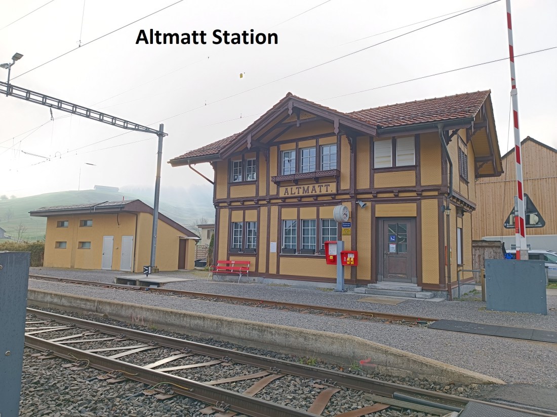
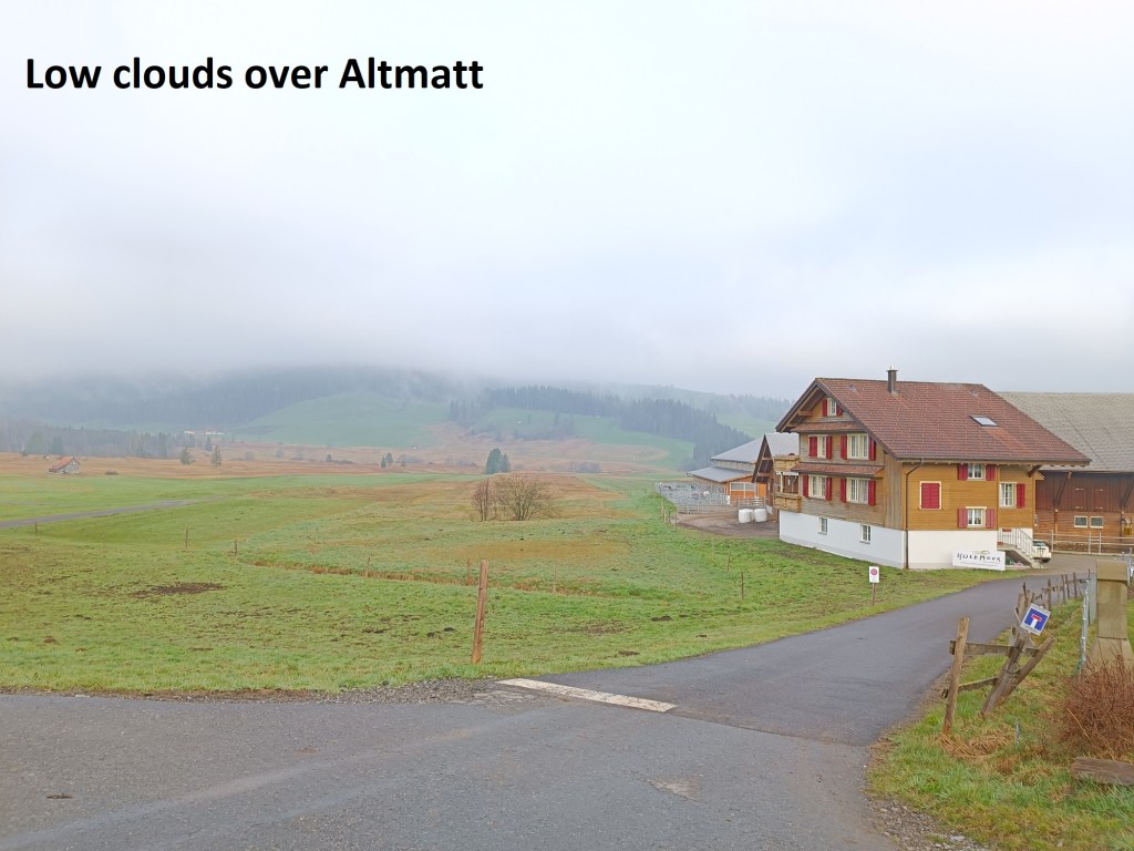
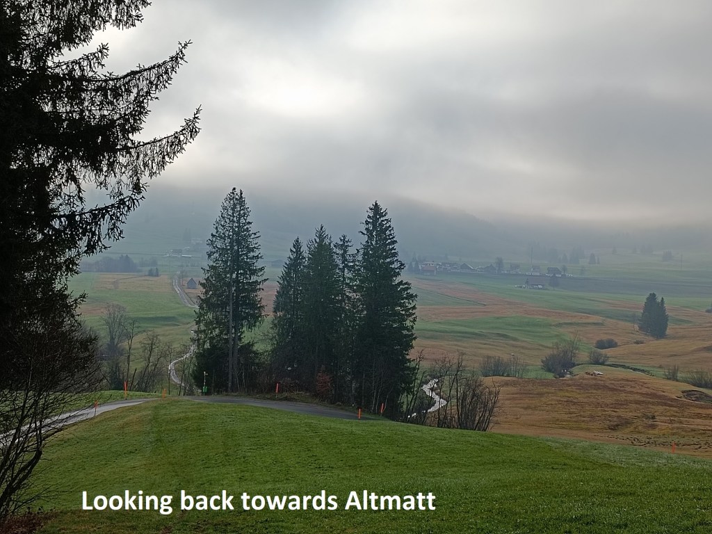
Having finished the day at Altmatt on my last outing, that was where I started the next time. Altmatt is a tiny hamlet, but it still manages to have a train station, which is always the focal point for my starting a walk. I reached there in the early morning, with a mist still lingering around. But the weather forecast predicted that this would soon burn off, so I set out confidently on my way.
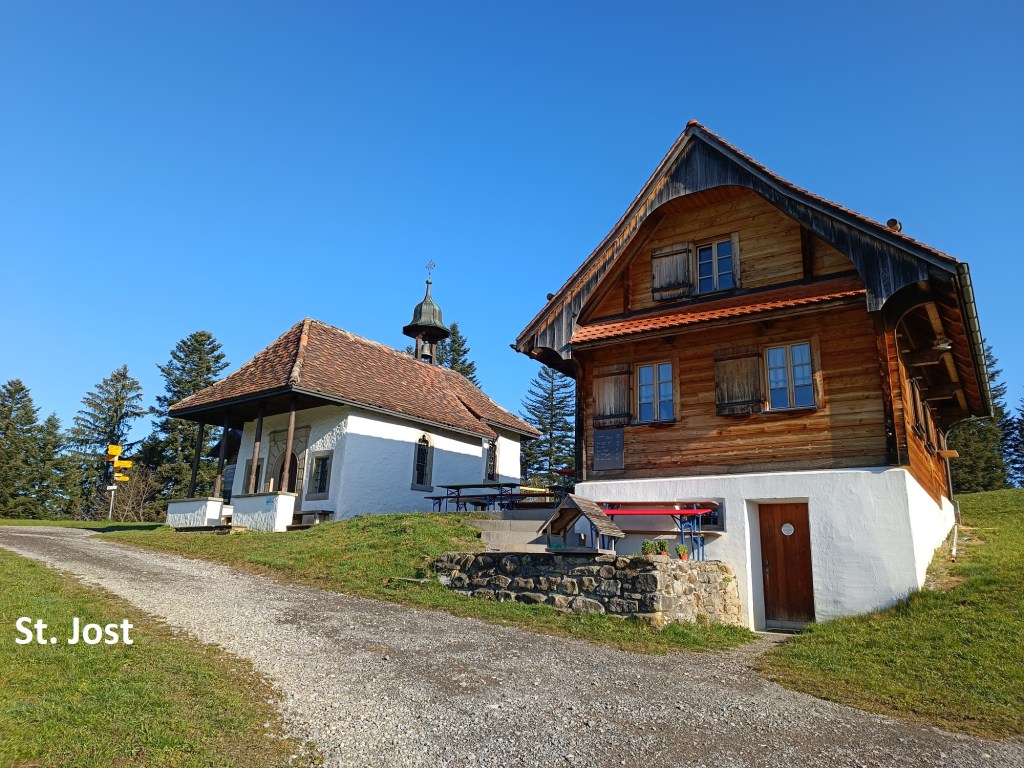
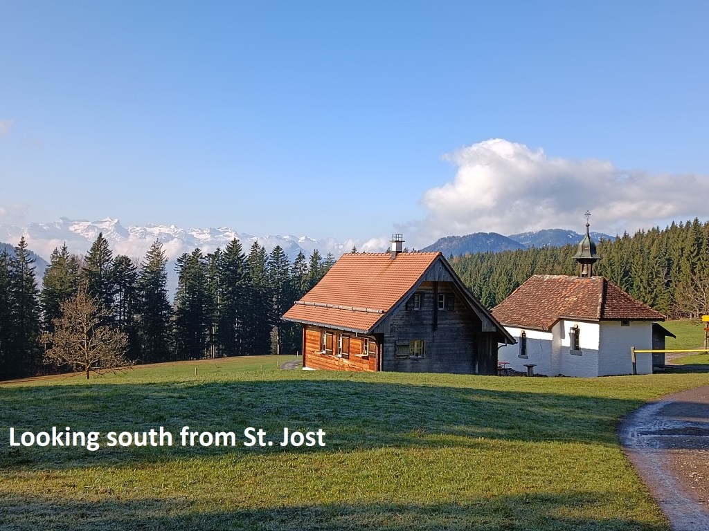
Even as the route began to climb the slopes, there was still some mist about, but by the time that I reached St. Jost, it had gone. St. Jost, together with St. James, is a patron saint of pilgrims, and there has been a chapel on this site since 1654. The chapel was a staging point for pilgrims on the way to Einsiedeln, and it is just below the highest point between the Ägerisee and Einsiedeln. Going on up the slope from the chapel, and turning to look south, it is easy to see why the Alpine Panorama Weg would go this way.
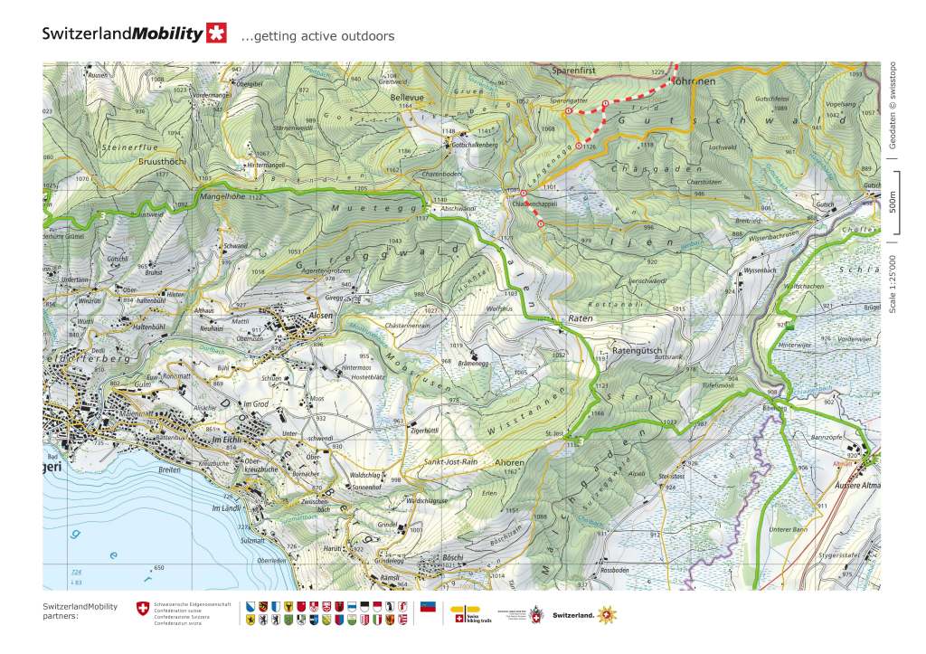
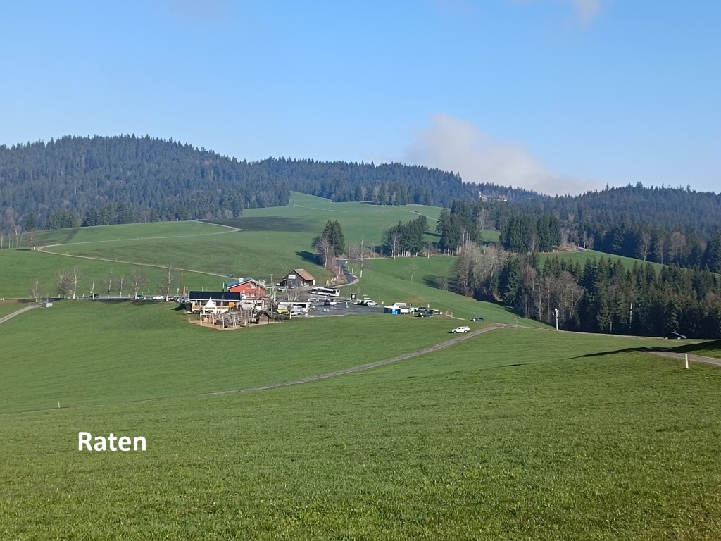
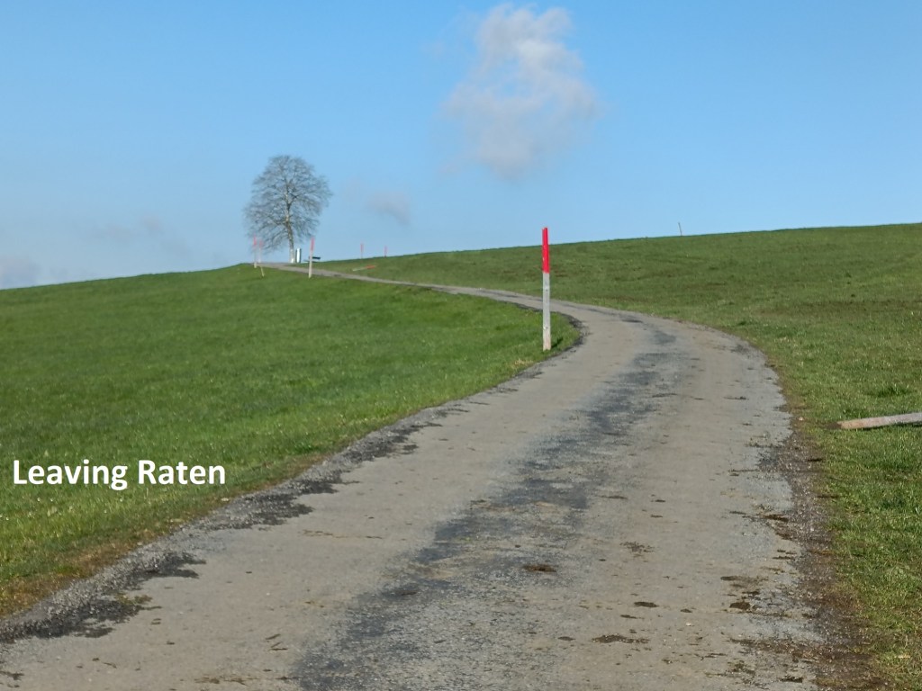
Soon, I was over that hill, and heading down to Ratan. Ratan is one of those places that people stop when out driving so that they can take a stroll. It is also one of those biker stops for those who prefer to take back roads. Even though it was still fairly early in the day, there were already a few visitors there. But I was not stopping. I went straight through, and up the hill on the other side.
I continued up the trail to the Muetegg ridge. There is a summit marked on the map, at 1205m, but in reality, the route is flat going through the forest. It continues for about a kilometre and a half, long enough to be boring, with nothing to see in any direction, except trees and more trees. Eventually, I emerged at Mangelhöhe, and from there the trail skirts the edge of the forest, with some great views of the Ägreisee to the south.
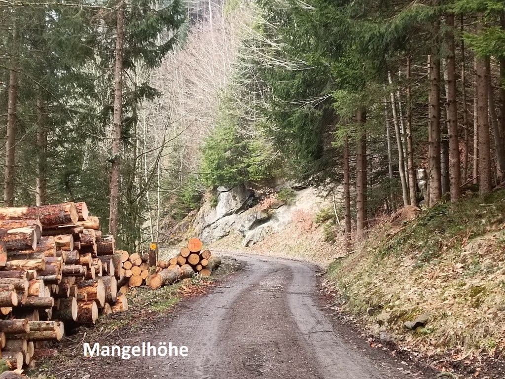
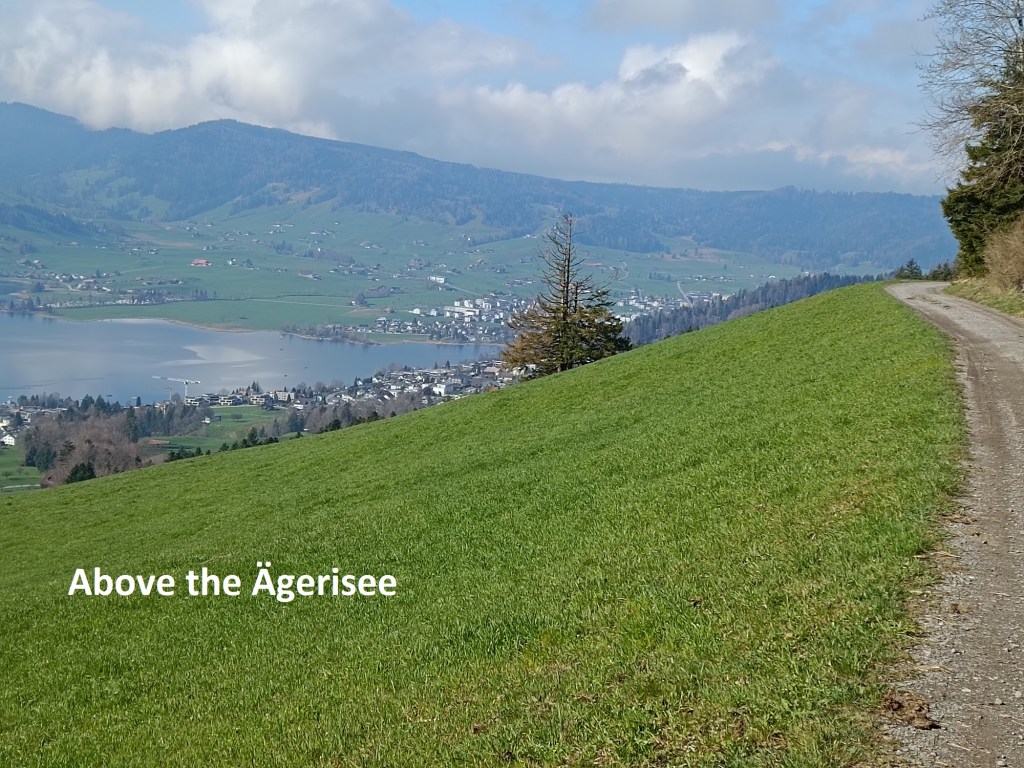
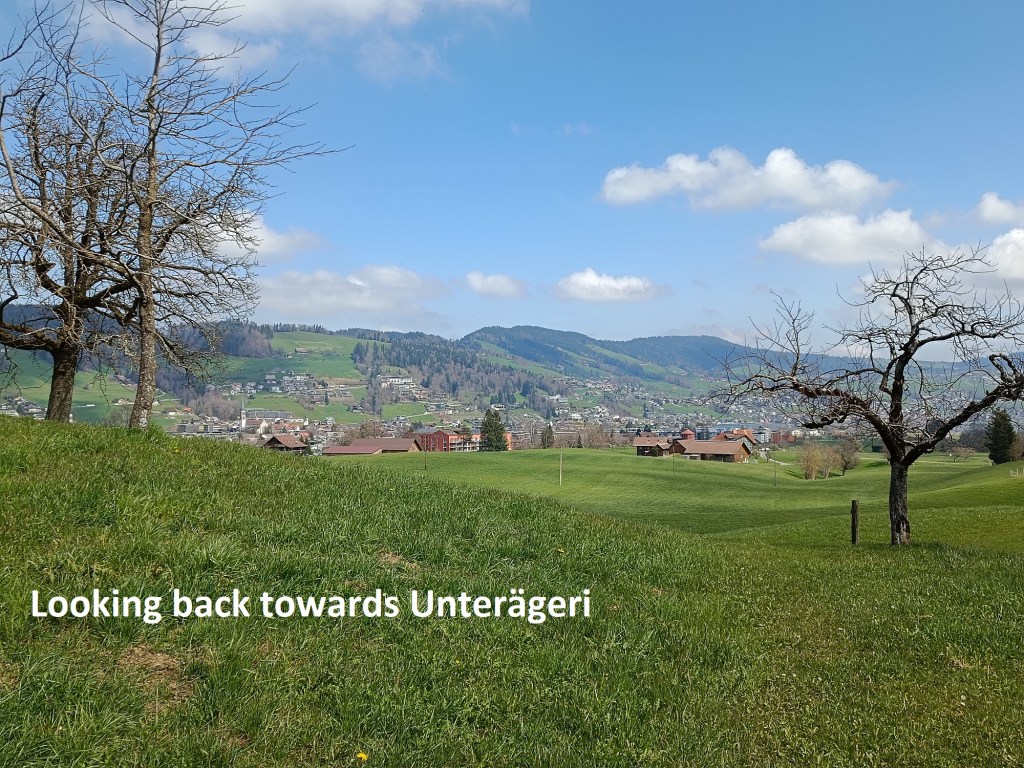
The route goes downwards, slowly but steadily. It rises again going onto the Wilderberg, where I had a great view back over the route down from Mangelhöhe. And once past Wilderberg, it was a steady descent into the town of Unerägeri.
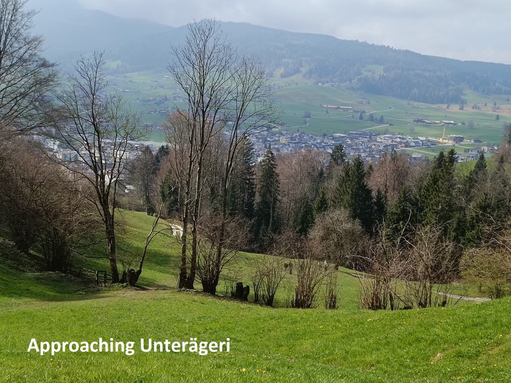
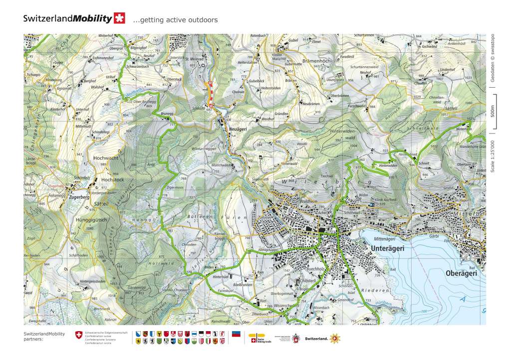
Unterägeri is one of those towns that has been around for a long time, but has been largely passed over by historical events. In the twelfth century, the land belonged to the monastery at Einsiedeln, and the municipality as an entity independent of the monastery only began in the fifteenth century. Such is the extent to which history has passed over the town that one of its most important recorded events was a burglary in the church in 1726. Up to the eighteenth century, Unterägeri and nearby Oberägeri were considered a singly municipality called Wilägeri, but in the best Swiss tradition, they fell out, and split in 1766 to give us the town as we know it now. And after that, history at Unterägeri seems to have stopped, with nothing of note happening.
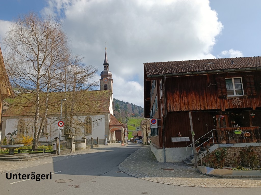
When I arrived there, the town was quiet, but I was able to find a restaurant where I had a good lunch. I was now in Zug canton, so it seemed only right that my lunch should be washed down with the local Baarer beer. This brewery is a relatively new enterprise, though it seems that there has been a brewery in Baar since 1862. After finishing lunch with a tiramisu dessert to restore my blood sugar levels, I was soon on my way again.


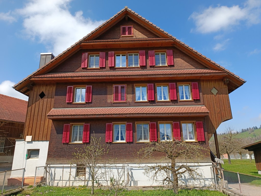
Leaving Unterägeri, I had a choice of two routes. The shorter straight route would take me almost due west out of town, but I decided to take the slightly longer route that circles around to the south a little. This brought me past farmhouses and farmland, and was relatively flat until I crossed the small river Rämsel.
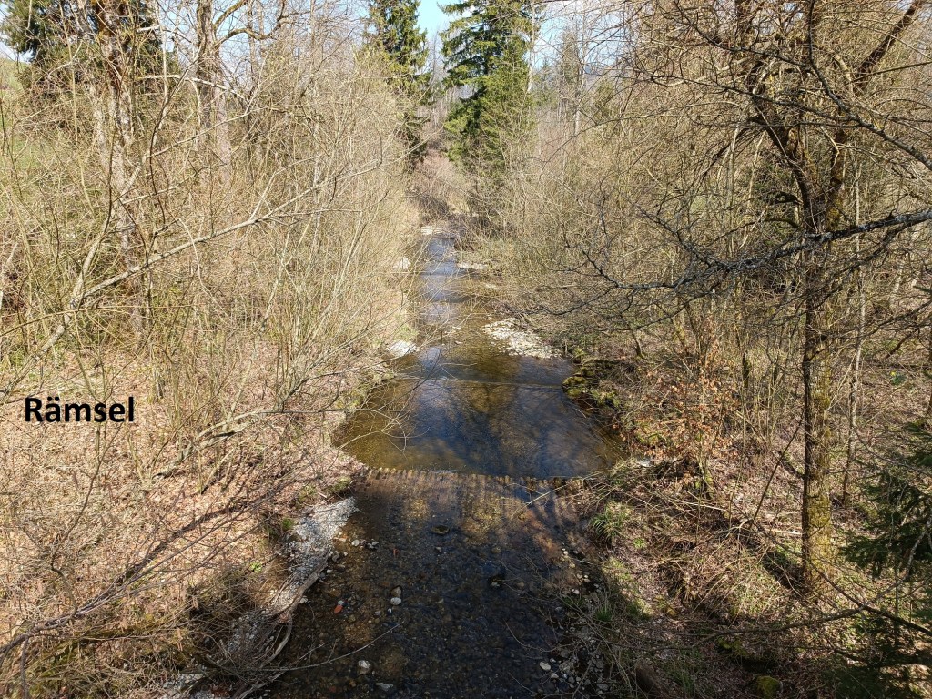
It is hard to believe that the first bridge over this little stream was only built in 1845. That one was destroyed in floods in 1866, and the new one built in 1873. That, in turn, was damaged in flooding in 1934, after which the current construction was put in place.
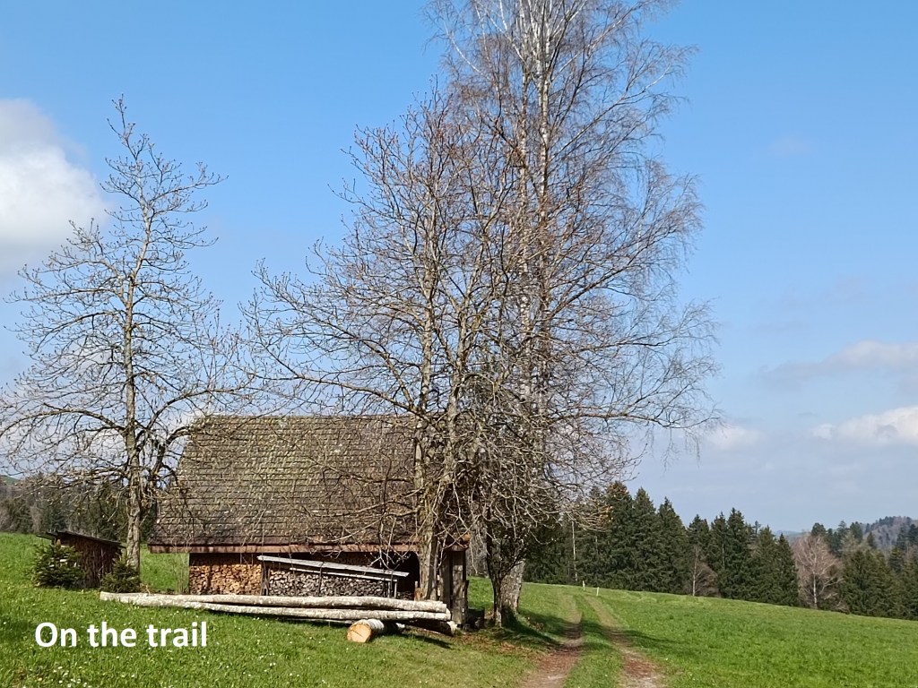
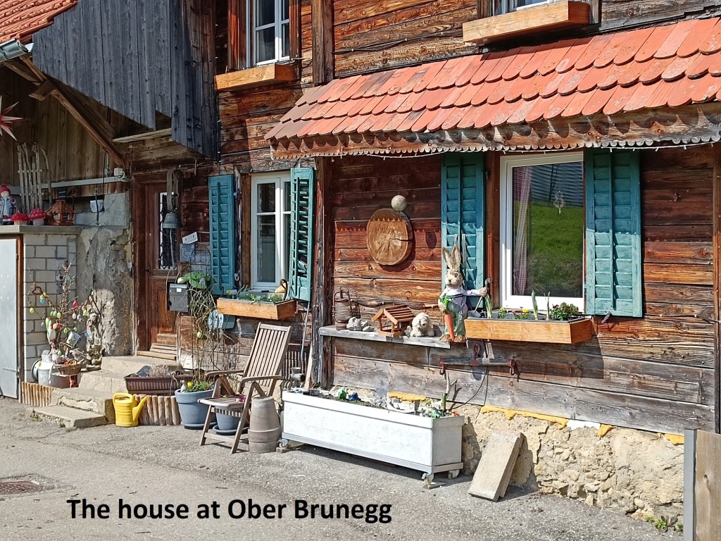
After crossing the Rämsel, the trail starts its ascent towards Brunegg. This was my last ascent of the day, and I was glad of the good lunch as I toiled my way to the top. The route brought me through pastures and past farmhouses as I went over the ridge and down the hill towards Zug.
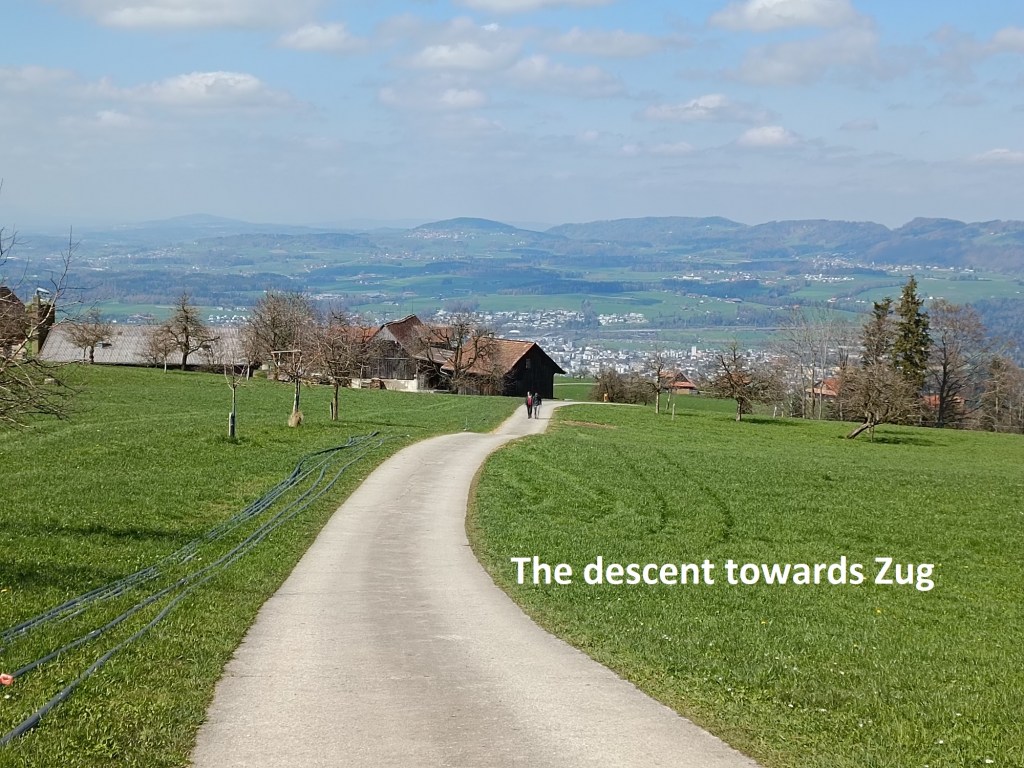
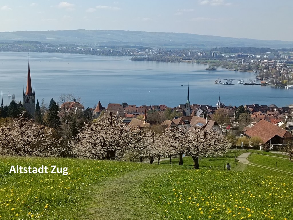
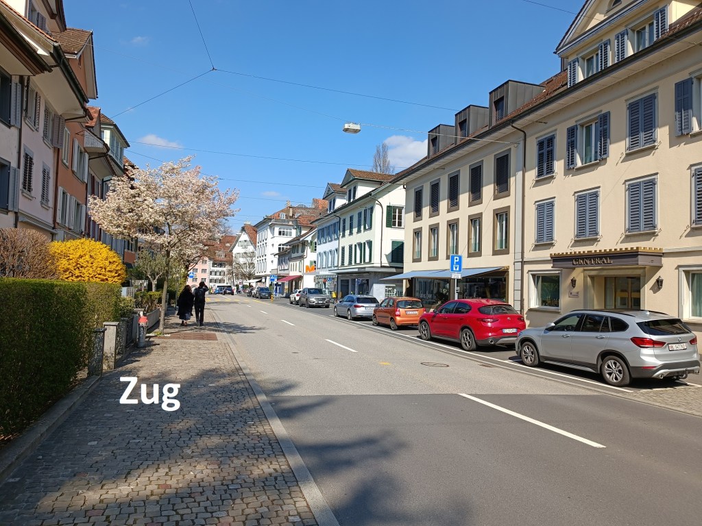
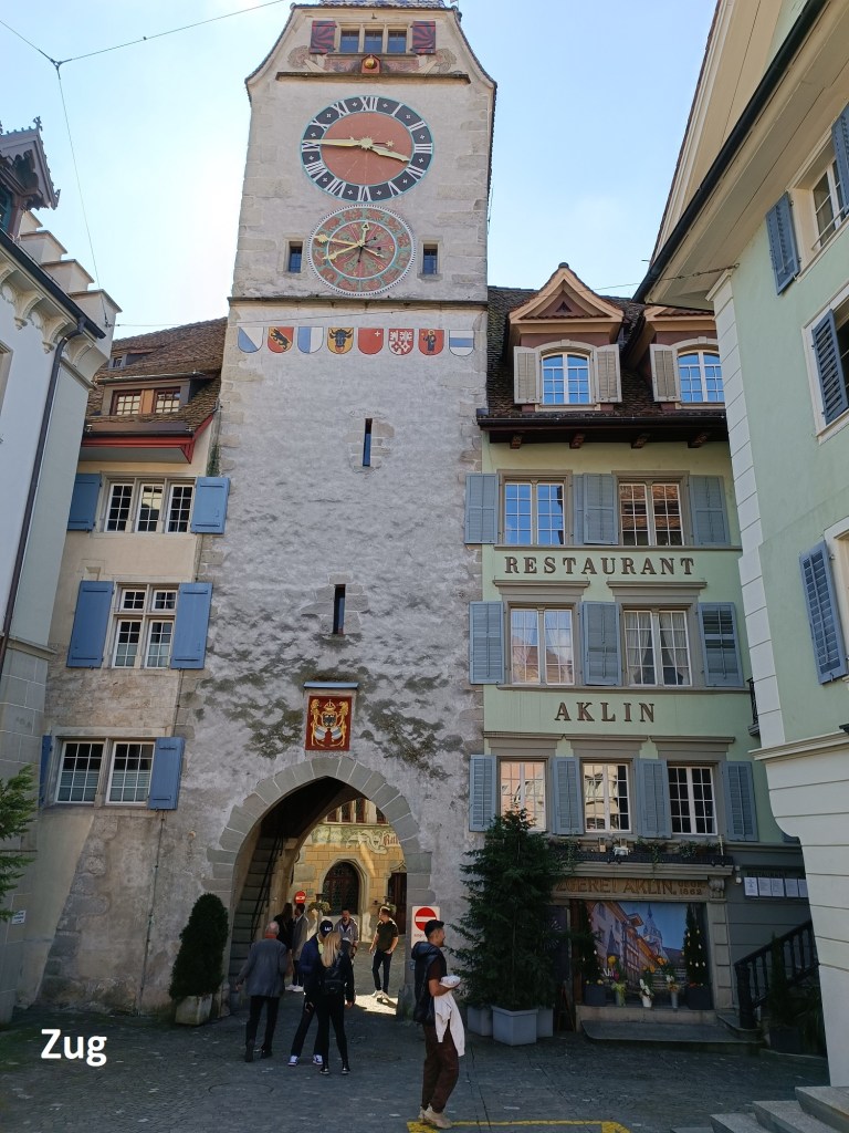
The route into Zug came down by the Altstadt, or old town. As a town, Zug goes back to about 1200. As the town developed, in the early fourteenth century, it had an on-off relationship with the fledgling Swiss Confederacy. It finally joined the confederacy in 1364 and has been part of Switzerland ever since. Today, The town of Zug is at the centre of a canton of the same name.
After I came into the old town, I turned north, going through the town to the lake shore, and reaching the station for the train back to Basel.
My total step count for the day was 47,099.