Sometimes other things get in the way of my walking and hiking. Unfortunately, I have to work for a living, and in the last few weeks, work got in the way of my preferred activities. However, there comes a time when the call of the trail cannot be ignored, so I set time aside last weekend to head back out on the Via Gottardo here in Switzerland. When I left things in December, I had reached Olten, and I had even taken some time to explore the nearby Tüfelsschlucht. But now, in the new year, it was time to go farther.
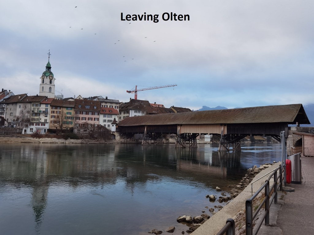
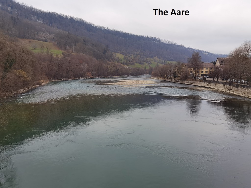
I left Olten early on Sunday morning. The trail starts from the town along the right bank of the Aare, but soon changes over to the left. Very soon, I had a choice to make. The official trail goes along the valley, not far above the river. The alternative would take me up into the hills above. That seemed a more interesting prospect, so that was the way that I went. I passed fields initially, in one case with two donkeys standing in the cold, and it really was cold. I don’t know if donkeys are ever happy, but somehow, they always seem to have a forlorn look. These two seemed as if they were looking for something from me, but I had nothing to give them.

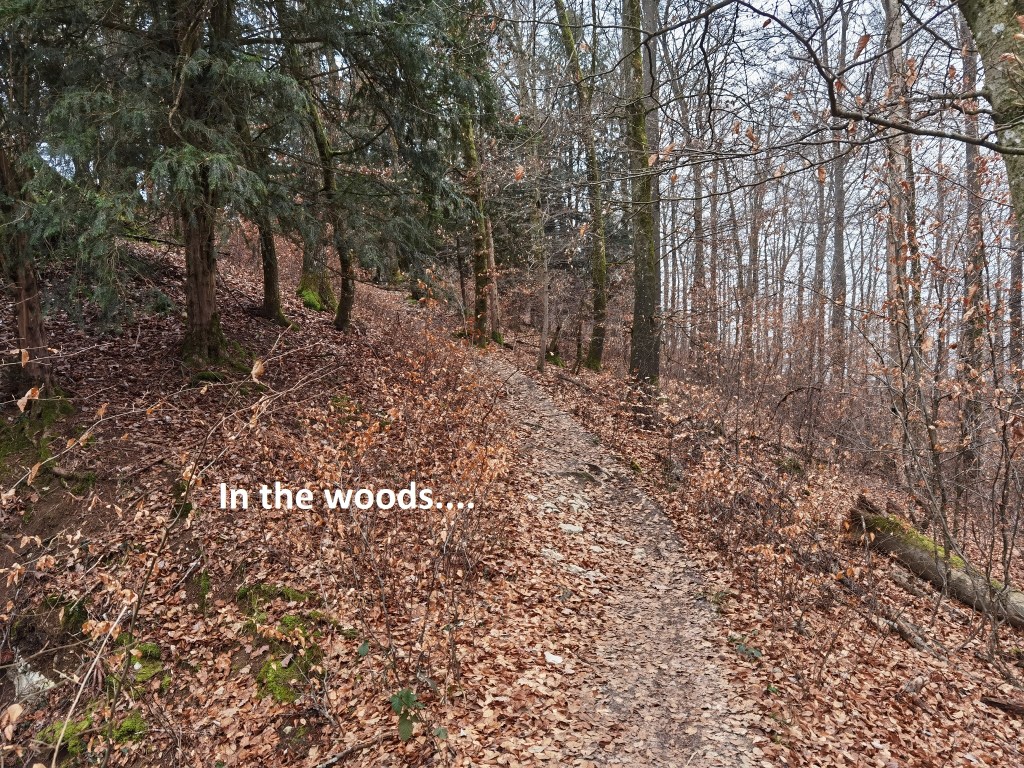
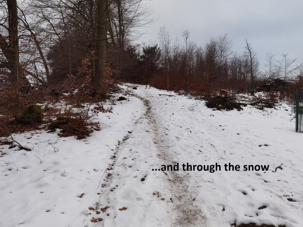
Then the trail went up into the woods. At first, the ground was clear, though iron-hard in the cold. And then, somewhere a little above the 500m contour, I came into slow. It was very patchy at first, but more general as I went higher. It was shallow snow, and old. It was crisp underfoot from several cycles of daytime thawing and night-time freezing. I made good progress and was soon at the top of the ridge. There was a screen of trees to my east, so for much of the way, I could not see the valley below. But the occasional glimpse was spectacular.
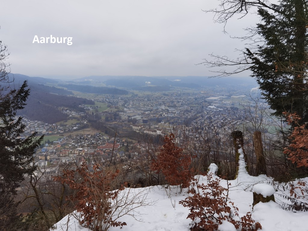
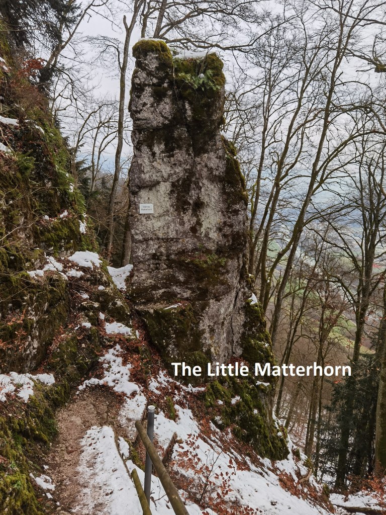
After I got to the summit of the ridge at Höfliwald, the only way was down. It was steep, and in places, the slope was north facing, so that the surface of the snow was crusted with ice. I needed to take care, but otherwise it was not difficult. On the way, I came across a rock stack with a plaque telling me that this was the Kleines Matterhorn, or “Little Matterhorn”. But mostly, it was just going on down and down. I emerged from the woods and joined up with the official route just before entering Aarburg.
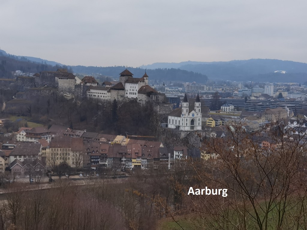
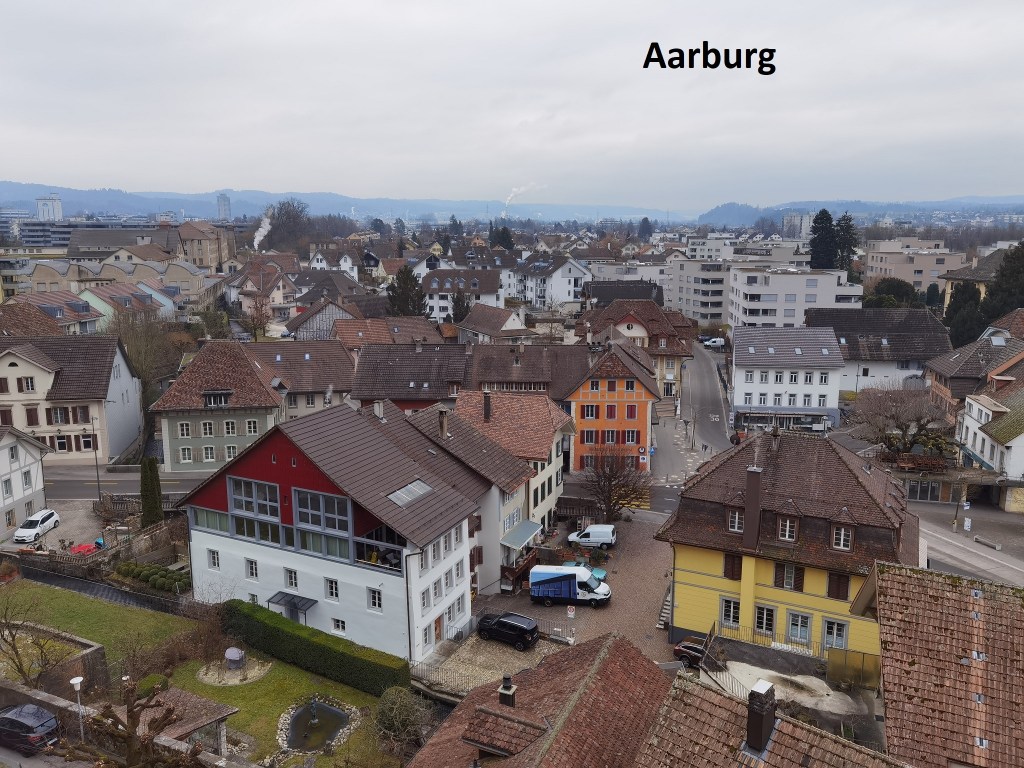
Aarburg is an old town. It has a strategic location at the junction of the Aare and Wigger rivers. There is evidence of a settlement there going back to Roman times. It is not certain when the castle was built, but it is mentioned in documents from 1129. At the time, it belonged to the von Frohburg family, like so many others in the region. In 1299, they sold the castle to the Hapsburgs, the ruling imperial family. The Hapsburgs had ambitions to acquire much of Switzerland, either through purchase or conquest. The first mention of the town is in 1330. Commercially, Aarburg has always come third after Zofingen to the south, and Olten to the north, but it maintained a strategic value because of its position. The castle and the town were captured by Bern in 1415, and remained under Bernese control until the Napoleonic invasion of 1798. Bern had expanded the castle to a significant fortress, but it fell to Napoleon without a fight. With the re-establishment of Switzerland in 1804, Aarburg became part of the newly established canton of Aargau, and has remained so since then.
In 1840, a fire destroyed much of the castle and the associated church. The present church was built between 1842 and 1845, though it looks much older. It is described as neo-gothic. The interior is somewhat stark and undecorated, being in the style of the Swiss Reformed Church. Early in the sixteenth century, Bern began to impose the Swiss Reformed Church on the local population and effectively drove out the older catholic monastic practices. The fortress and church at Aarburg are today one of the most photographed locations in Switzerland. I visited the church, and from the front, I had an excellent view back over the way that I had come.

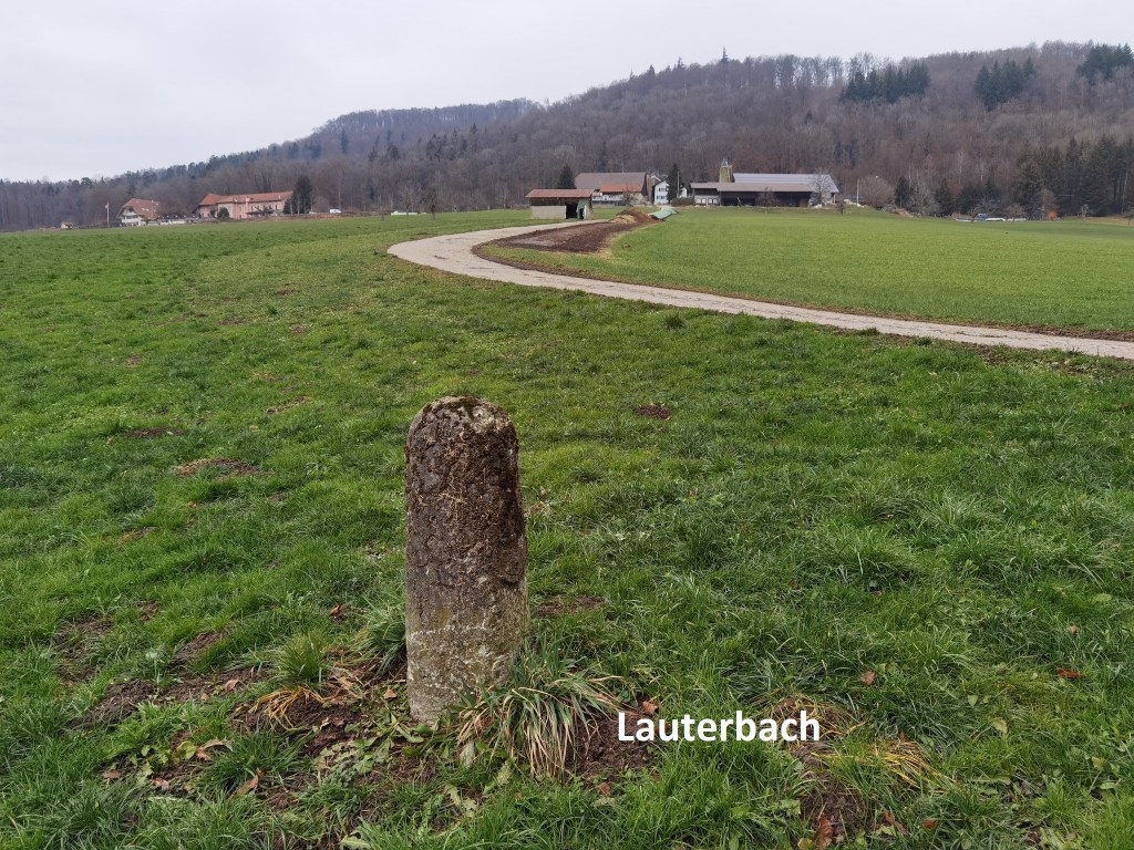
My route took me eastwards from Aarburg, up into the forest beyond, and on to the farming settlement at Lauterbach. It doesn’t really count even as a village. Then the trail turns south. Close to Lauterbach, I came to the cantonal border between Aargau and Solothurn. The trail then follows the border south for a while, alternating between the two sides, before going back into Aargau.
Just before I crossed the railway line, I was greeted by a man sitting in the cold sunshine outside his house. We chatted and he asked me how far I was going. Dagmersellen, I told him. He was surprised, telling me that was a long way. I told him I had already come from Olten, so I was confident of getting there. He smiled and wished me well. I waved him goodbye and went on my way. Even in these days of social distancing, it is still possible to meet and talk to people.
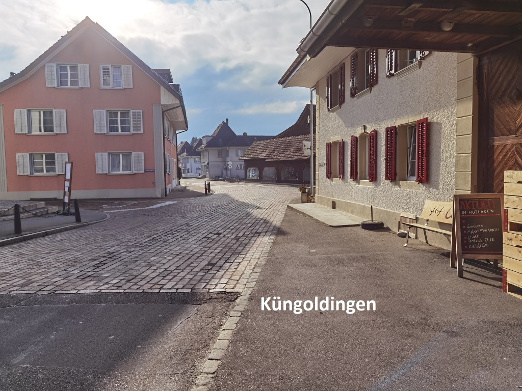
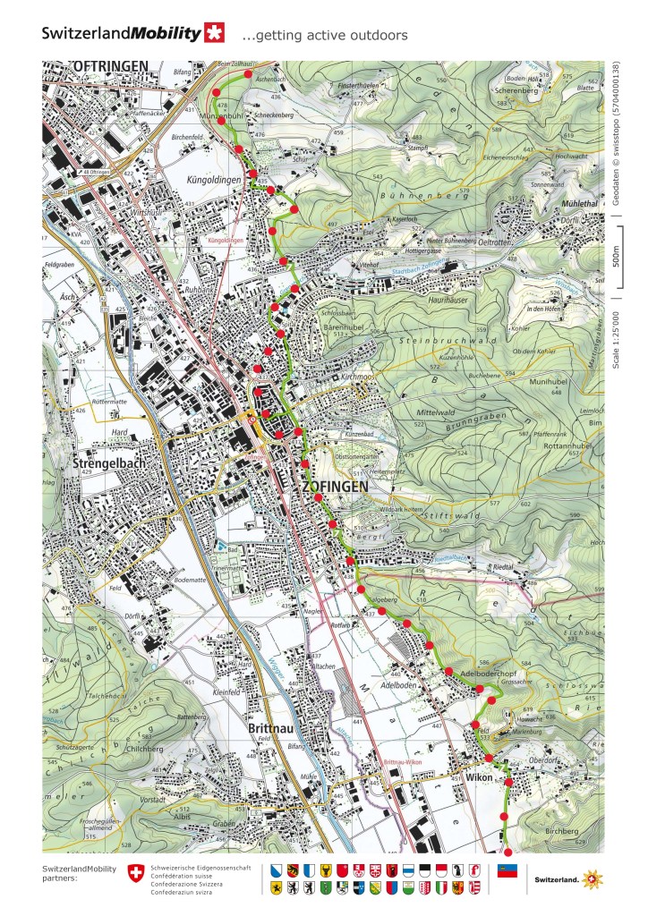
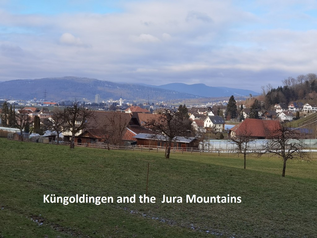
I came to Küngoldingen, which is really just a residential area of the nearby Oftringen. My route from here would be mostly skirting the edges of towns and villages, with the exception of Zofingen. But first, I left Küngoldingen, going back into the woods. It wasn’t long though until I came back to a built-up area, just on the edge of Zofingen. Once again, I decided to deviate from the official route. That official route goes into the modern town, but just follows the eastern edge of the older town. I wanted to go right through the old town, so my route was slightly different.
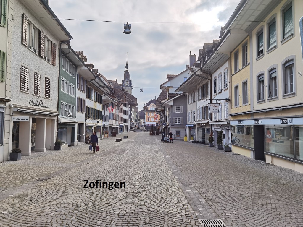
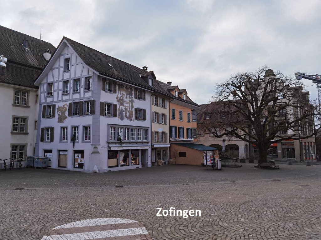
Like Aarburg to the north, Zofingen has evidence of settlement going back to Roman times. The von Frohburg family founded a monastery there in the eleventh century. The same family created the town early in the thirteenth century, but then sold it, with Aarburg, to the Hapsburgs in 1299. Bern took it over when they captured Aarburg. The history of the two towns runs in parallel.
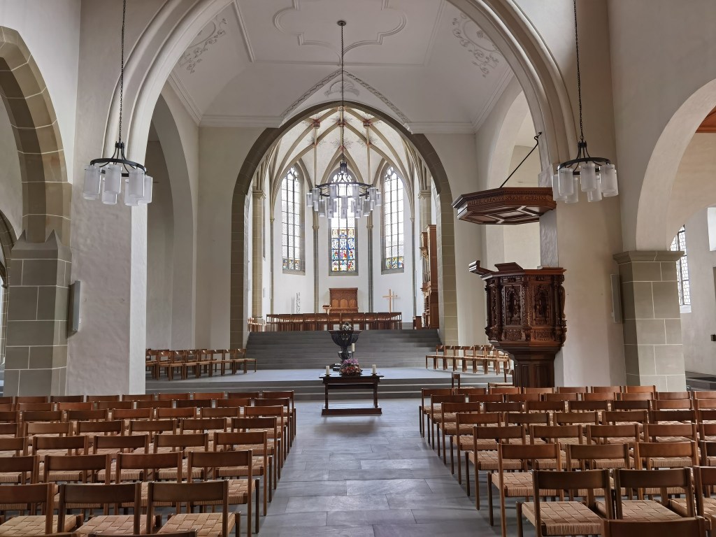
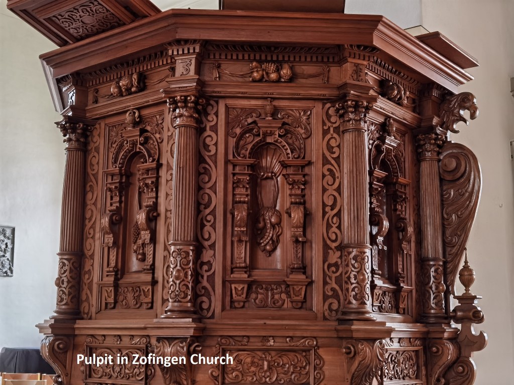
The dominant feature of the town is the church at the town centre, with its spire rising above the local houses. The church changed from Catholic denomination to the Swiss Reformed Church in 1528 under Bernese control. Today, the church interior reflects the ethos of that denomination. The only point of real decoration is the wooden pulpit, a nice example of the woodcarver’s work.
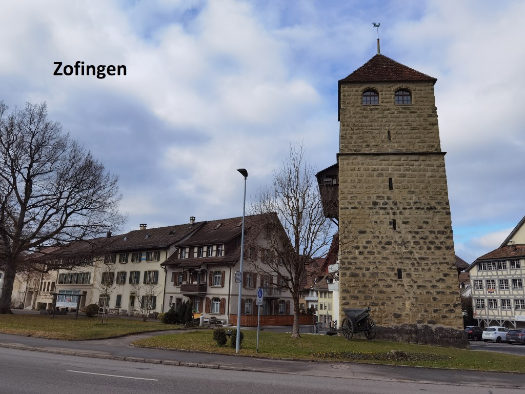
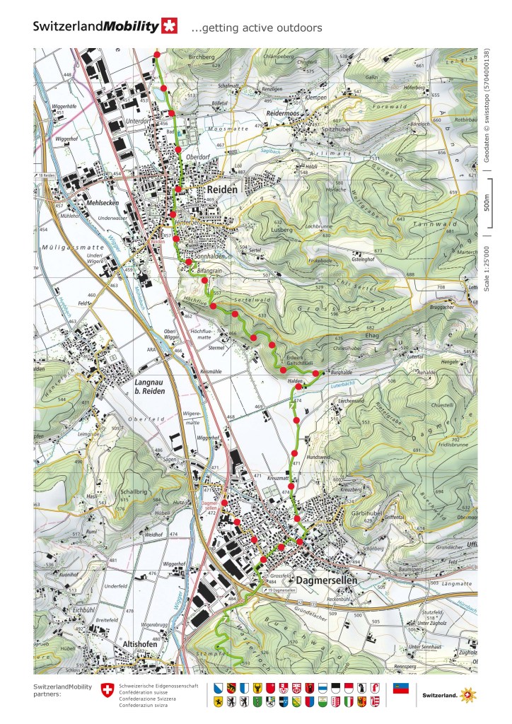
Zofingen was a walled town, but the walls have long since been taken down. Some of towers and corner bastions remain, and I passed one on my way out of town. Just after leaving Zofingen, I crossed into Luzern canton, Mr route went up to about the 500m contour, and then was fairly flat. Along the way, I had good views of the valley below. It didn’t take long until I came to the edge of Wikon. The trail doesn’t go into the village, but continues on through the fields. The next village was Reiden.

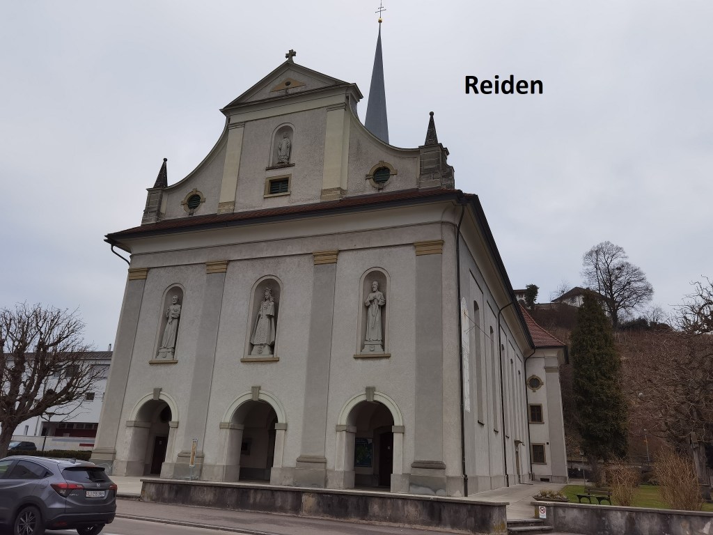
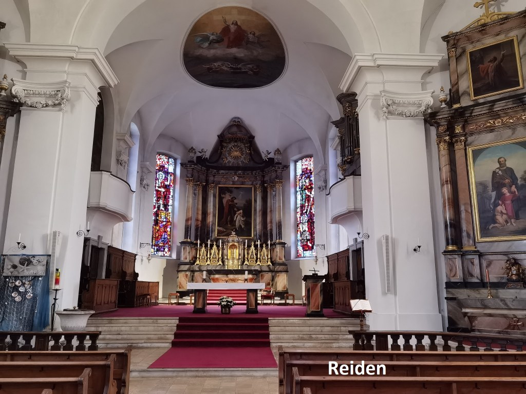

Reiden is in Luzern canton, which has always had a Catholic ethos, so when I went into the church there, even though it is just a local parish church, it was more richly decorated than those of Aarburg and Zofingen. Even the ceiling is painted with religious decoration. The phrase ad maiorem dei gloriam comes to mind.
After Reiden, I went back up into the forest, at one point getting good views back over the village.

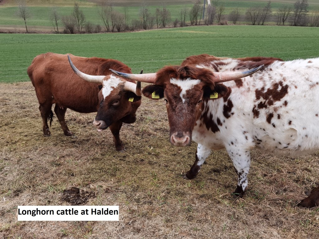
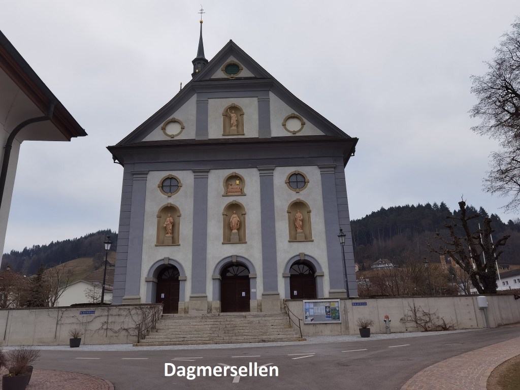
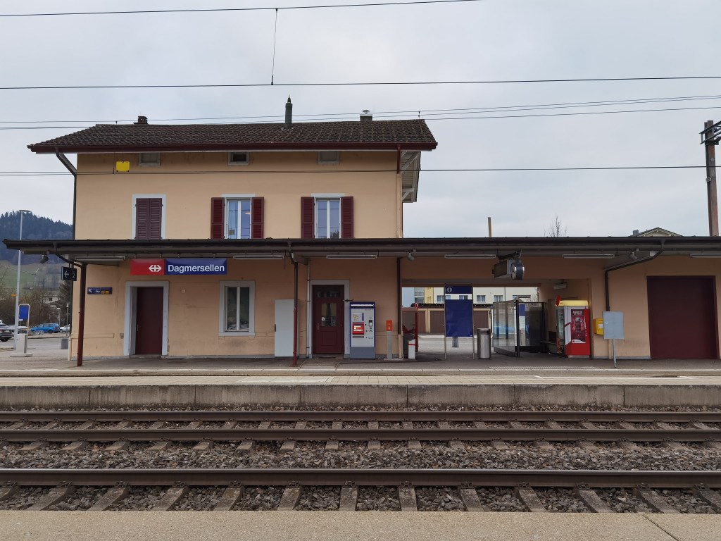
Then it was on through the forest. I came back down into the valley at Burghalde, where I saw some longhorn cattle, not a common breed in Switzerland. And then, there was a last flat stretch going into Dagmersellen. I had hoped to visit the church, just to compare it with the one at Reiden. From the outside it looked similar, but unfortunately, it was closed for renovations, so the inside was not accessible. There was nothing left but to make my way to the station and the journey back to Basel.
My total step count for the day was 49,516.