In my last posting, I outlined how my journey along the Via Gottardo had reached Olten. I decided to take a slight detour before going further along this route. Last week, there were flurries of snow in Basel. It did not last long. The snow started early one morning, but in the city, it had stopped and disappeared by lunchtime of the same day. But I figured that in the mountains, the story would be different, and so I decided to leave the Via Gottardo for a short while, and head for the mountains instead.
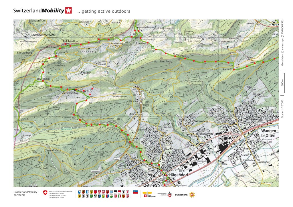
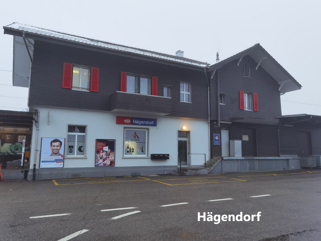
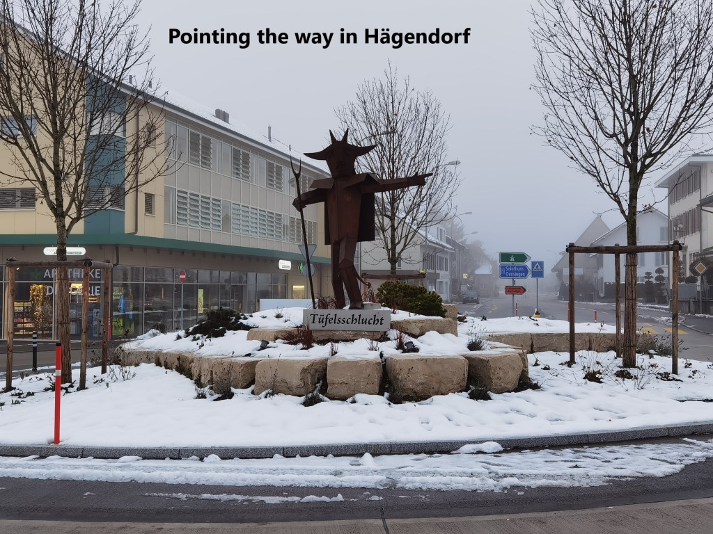
I chose the route of the Tüfelsschlucht towards Belchenflue. The route begins in the village of Hägendorf, and I was there early. It was a cloudy morning as I left the station and made my way through the village. But I was cheered by a metal sculpture in the centre of the village pointing the way to the Tüfelsschlucht.
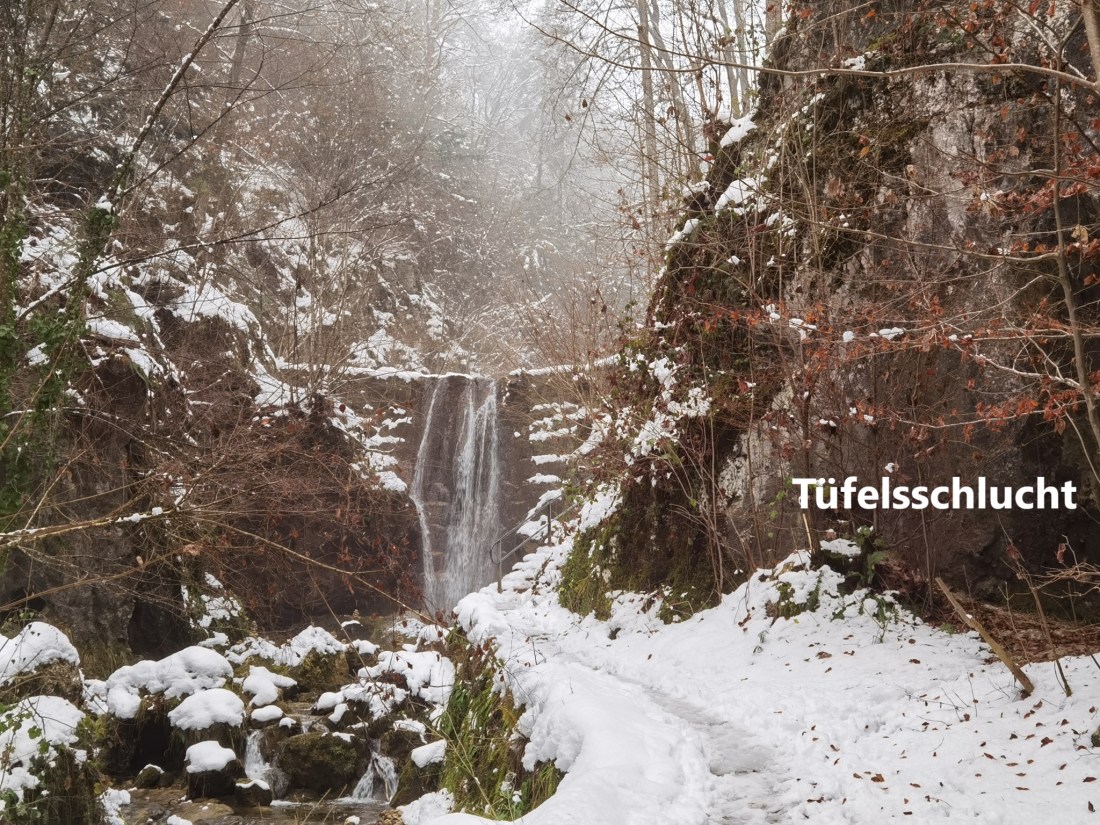
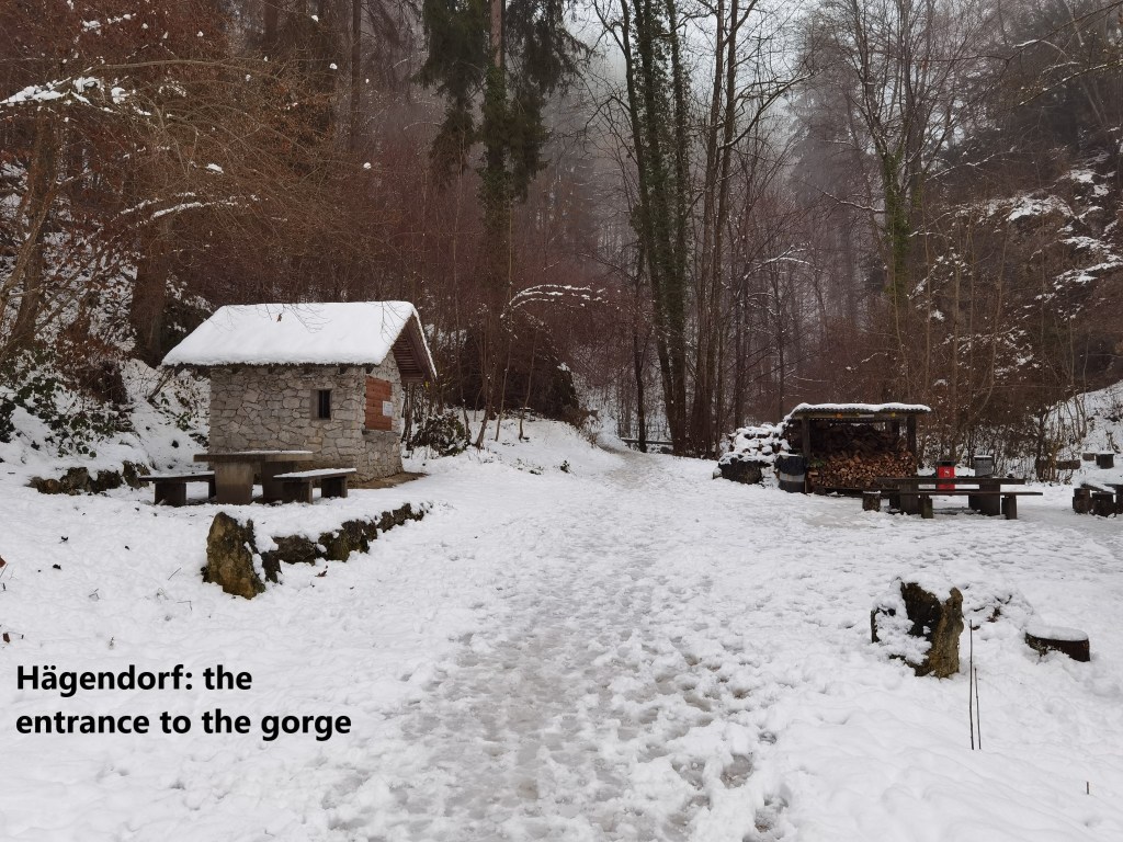
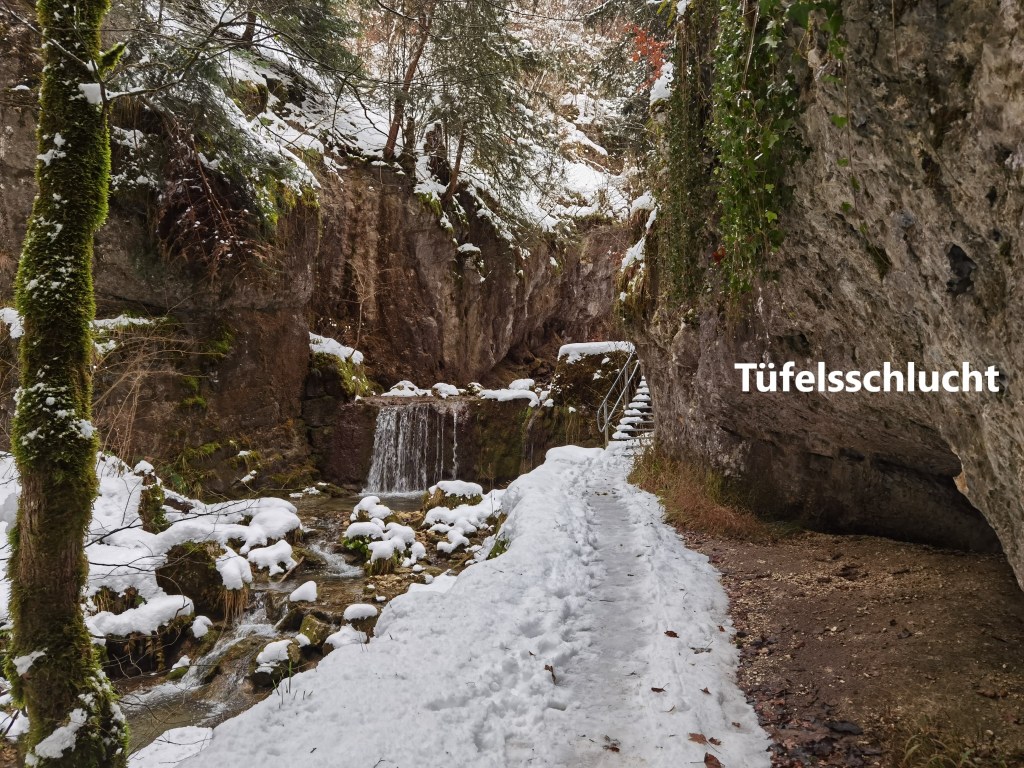
As soon as I reached the northern edge of the village, the trail narrowed, and climbed a little towards the mountains, and then I was at the entrance to the Tüfelsschlucht. The word “Schlucht” means a gorge in German, while “Tüfel” is a Swiss dialect word for a devil, a variation of the German word “Teufel”. So the Tüfelsschlucht means The Devil’s Gorge.
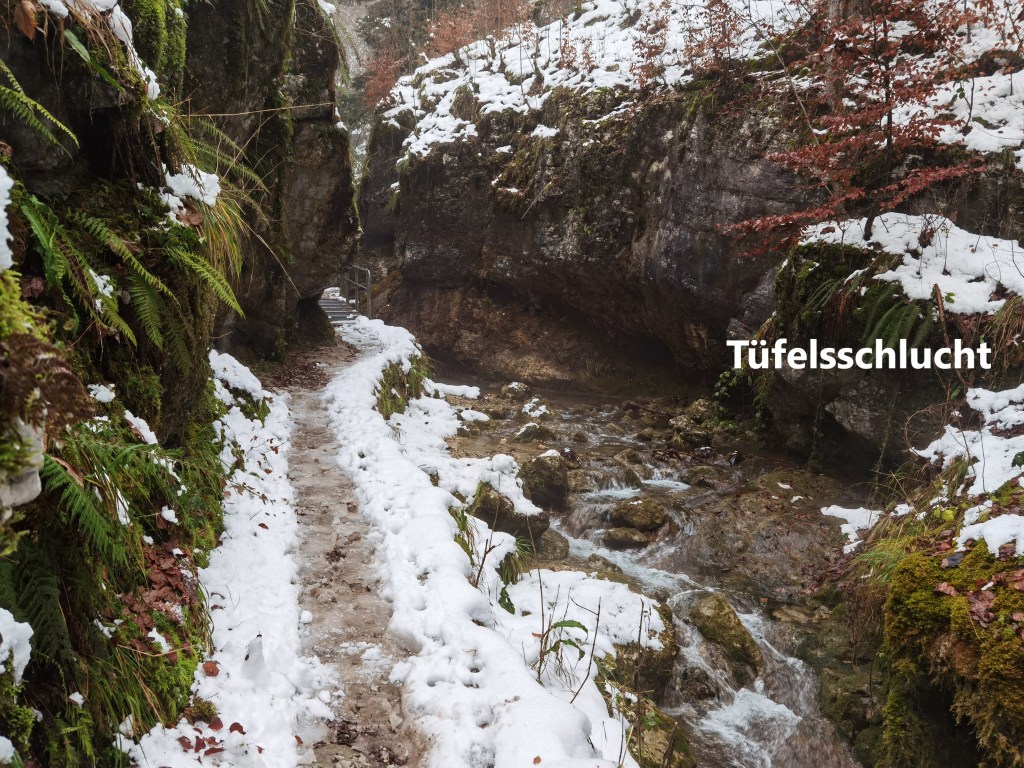
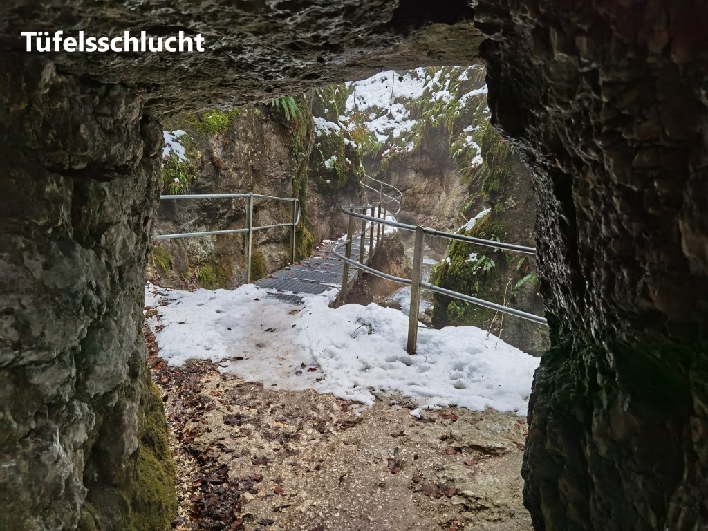
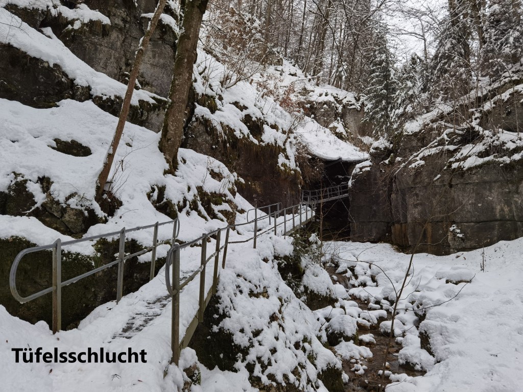
The legend is that a demon once made his home there, and only after many years was he driven away. After he went, he left the gorge, with its steep rock sides, caves, and waterfalls. Walking through the gorge, it is easy to see why the place might be associated with demons. With high rock sides, it gets little direct sunlight on the valley floor. The route through the gorge would be a precarious one if left to nature, but there are many metal ramps and pathways to make it easier. In places, there are even passageways cut through the rock.
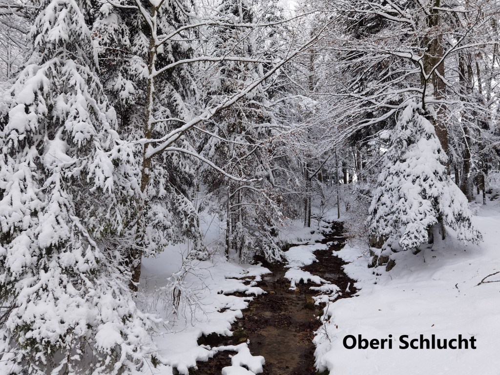
The Tüfelsschlucht presents a gradual ascent from Hägendorf, and I soon reached the road at the 660m contour. After that, the trail continues on up the valley, though the valley is more gently now. This area, called the Oberli Schlucht, or Upper Gorge, is not really a gorge at all, more like just a mountain valley.
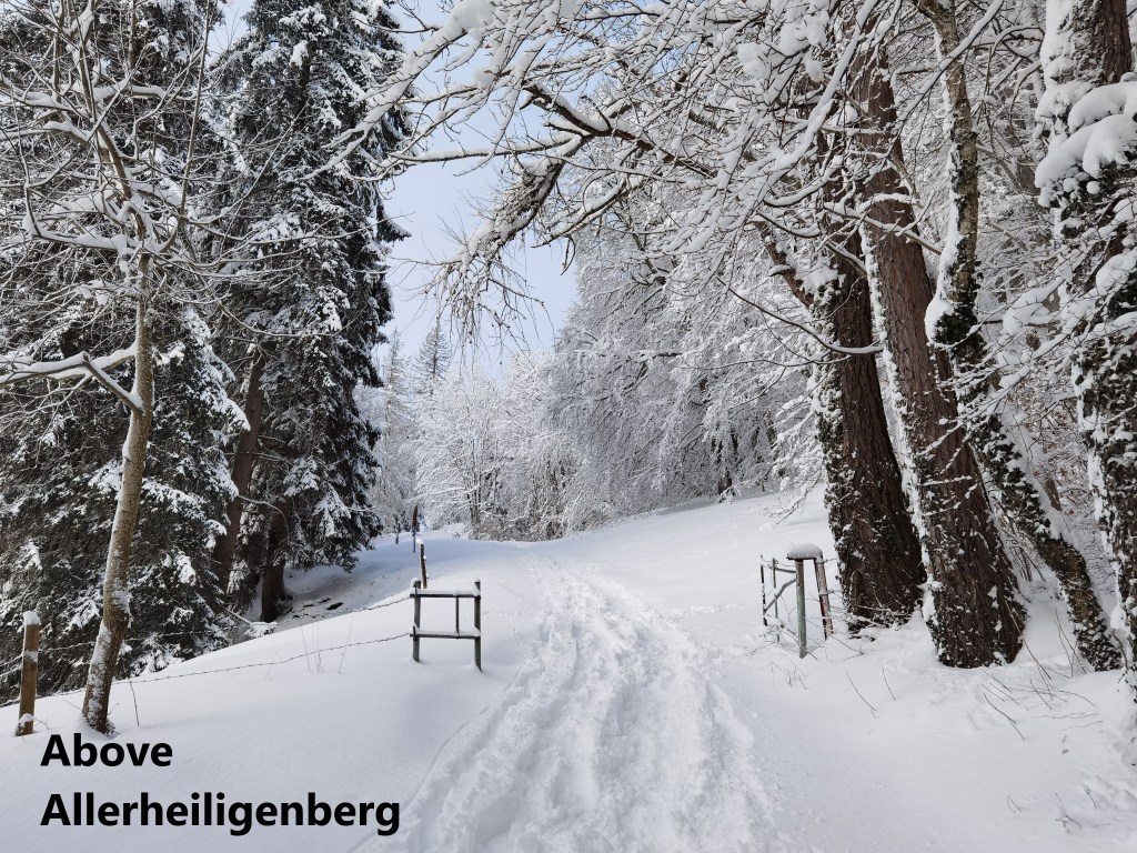
I kept going, coming back onto the road higher up, and followed that road then to Allerheiligenberg. Allerheiligenberg is not really a village, more like a resort. The Pro Höhenklinik Allerheiligenberg Foundation to run a health resort here. However, it seems not to have been very successful, and the foundation had to be reformed in 2014. Later, the canton of Solothurn took an interest, and although they seem to have wanted to sell their interest initially, there are now proposals to integrate the resort into the canton’s plans for accommodation for its senior citizens. In any case, there is a bus service to the resort, as well as a car park, and when I reached it, there were several other hikers preparing to go on up the mountain from there. I did not tell them about the scenery they had missed by not going through the Tüfelsschlucht.
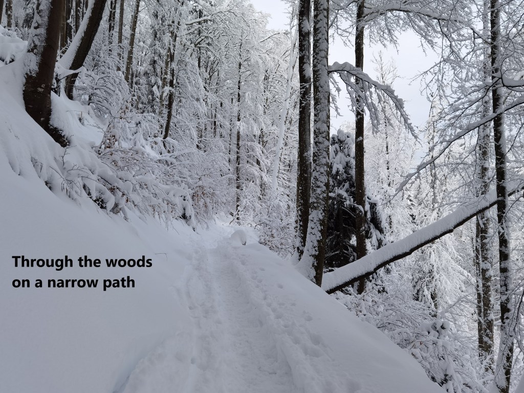
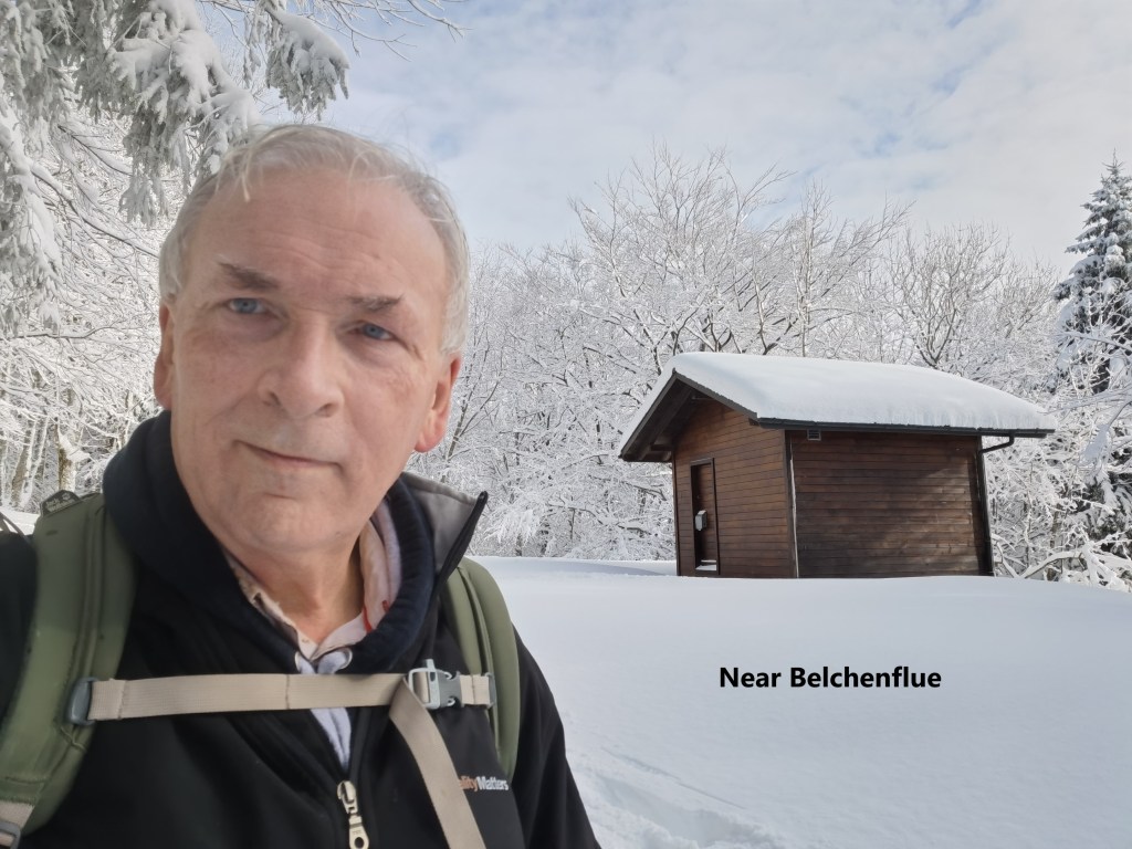
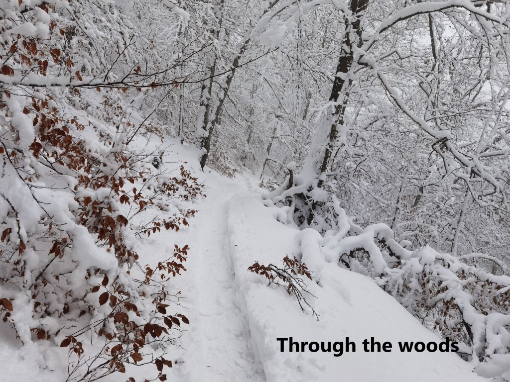
Once past Allerheiligenberg, the trail goes on upwards into the forest. I missed a turn on the trail, but soon realised my mistake and was back on the right route. Other walkers had made the trail easy, with almost a small trench in the snow. I crossed over one ridge and found myself walking along a narrow trail with a steep slope upwards to my left and downwards to my right. This brought me to Wuesthöchi.
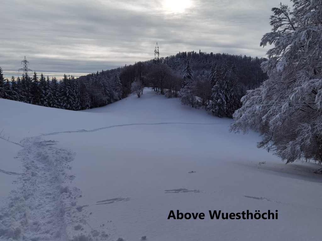
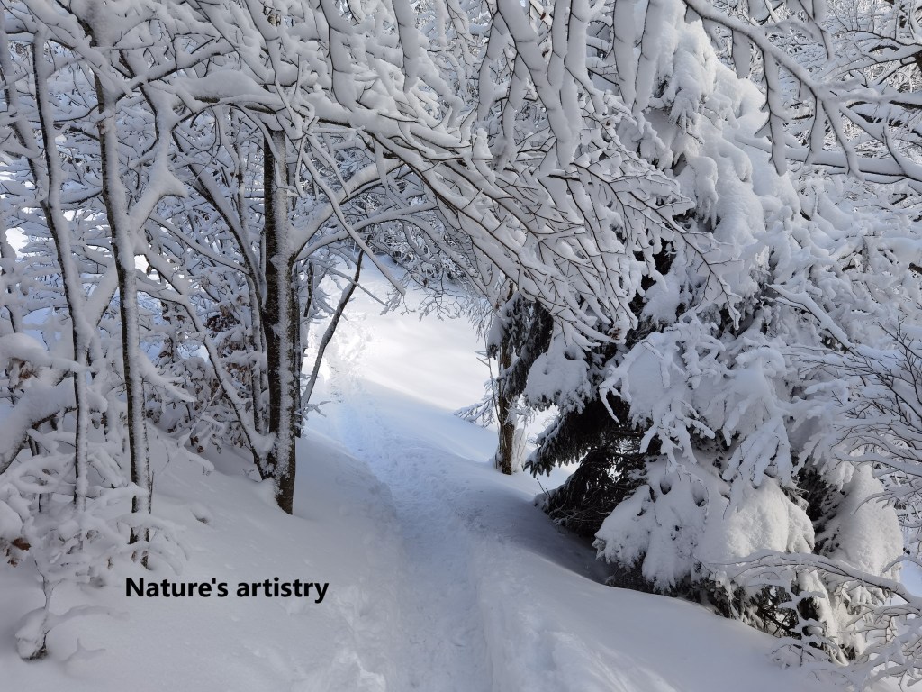
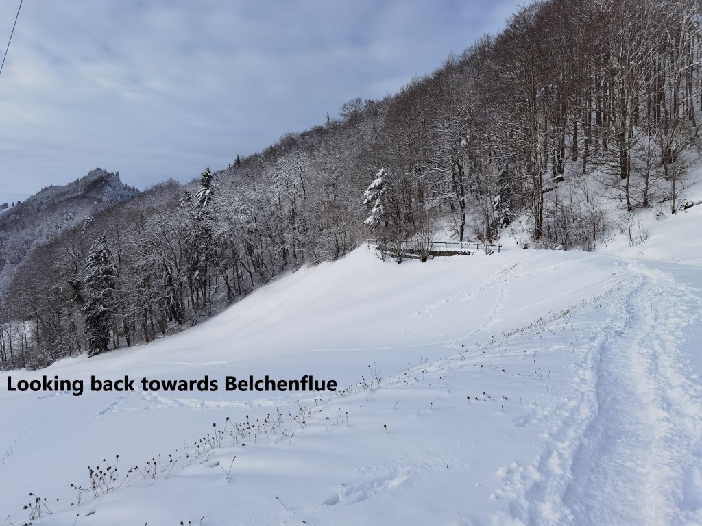
At Wuesthochi, the trail left the forest, and I crossed a snowfield to get to the next ridge at 1005m. Then there was a slight descent before the final push to the summit of Belchenflue. On the way, there were some wonderful examples of the artistry with which Nature can decorate the landscape in winter.
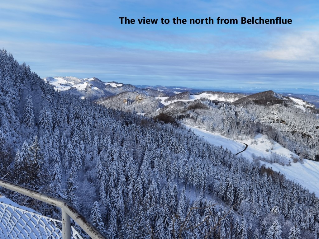
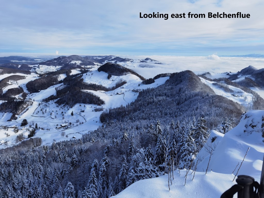
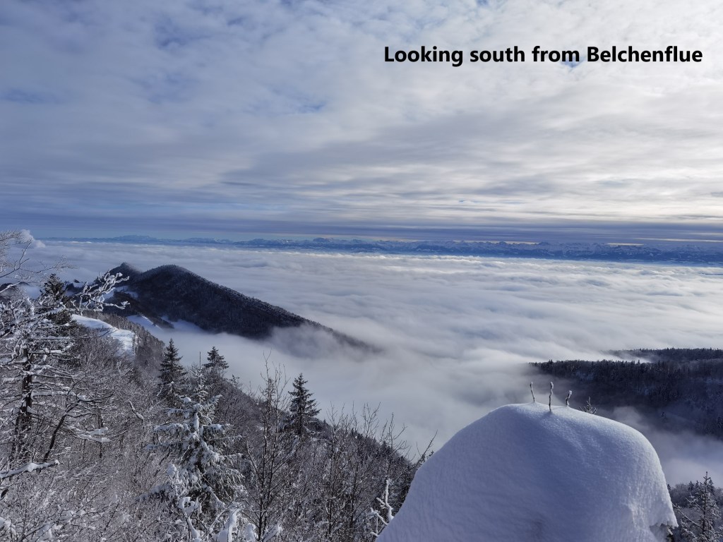
Belchenflue is one of my favourite peaks in the entire Jura range. The summit is just 1095m above sea level, but on clear days, it presents spectacular views. And I was not disappointed. Away to the east and north, the snow-covered landscape was amazing. Looking south, there was a sea of cloud stretching into the distance, with the peaks of the Alps showing as a line of white far away.

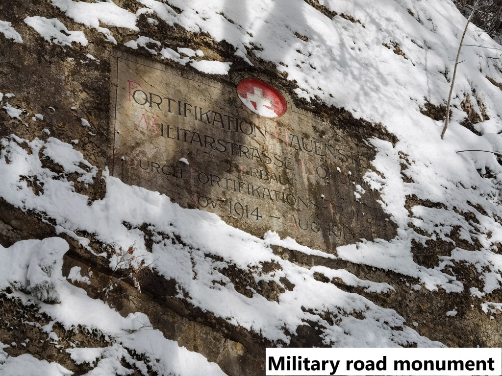
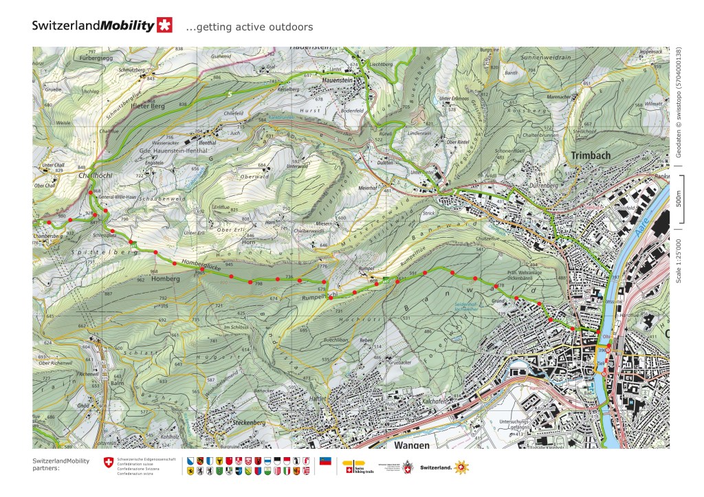
From the summit, my route took me downwards, initially along the military road that leads to the summit. The road was built between 1914 and 1915 to allow soldiers rapid access to the summit of Belchenflue, as it provided an excellent observation point. The achievement of building the road is commemorated with a monument set into the rock near the summit, while further along, some of the military units involved, painted their unit insignia into the rocks as well.

It wasn’t long before I came to the General Wille Haus. General Wille was the commander of the Swiss army during World War 1. To defend Swiss neutrality during that war, there was large scale mobilisation. While the national effort is remembered with pride in Switzerland, General Wille was a somewhat controversial figure, and did not enjoy the same reputation as his successor in World War 2. The original General Wille Haus was built as a place for rest and recreation for Swiss soldiers injured while in service during World War 1. It was funded by Swiss emigres in South America, and the site was chosen based on its proximity to a nearby firing range. The house was built in 1916 and inaugurated in 1917. In the 1920s, it was used by local schools in Olten for summer camps, and in 1929, the Swiss Alpine Club began to use some of the house. The house burned down in 1950, but it has already become part of the local infrastructure, so a new house was built to replace the old one. The Swiss Alpine Club, the army, and other groups supported the effort of rebuilding, and the new General Wille House was opened in 1954. Today, it is run by the Swiss Alpine Club.
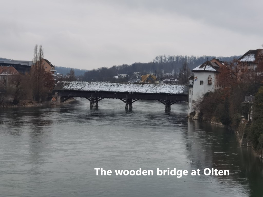
After the General Wille House, I passed the nearby firing range where there are warnings to keep to the trail, which I did. The trail follows the Homburglücke ridge for a while, crossing to the southern side before descending into the woods. Eventually, the woodland trail became a track, and on the edge of Olten, I was onto roads. After that, it was a simple walk through the town to reach the railway station and take the train back to Basel.
My total step count for the day was 36,654.