
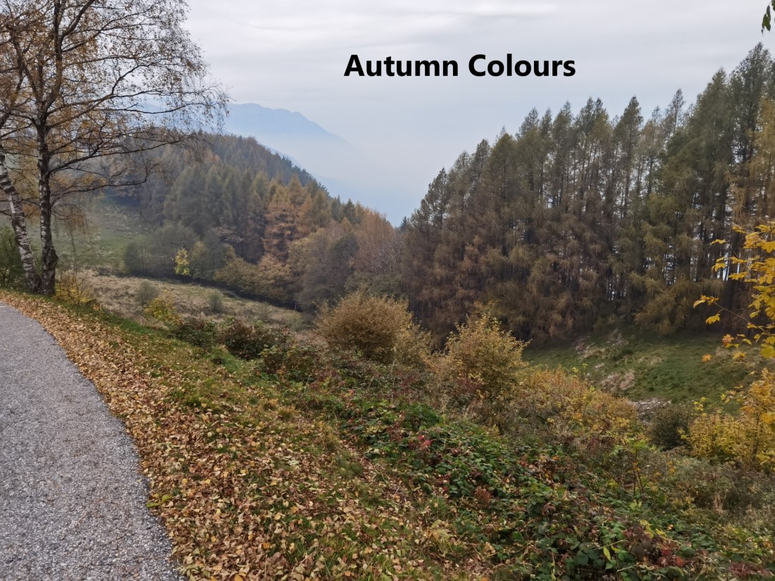
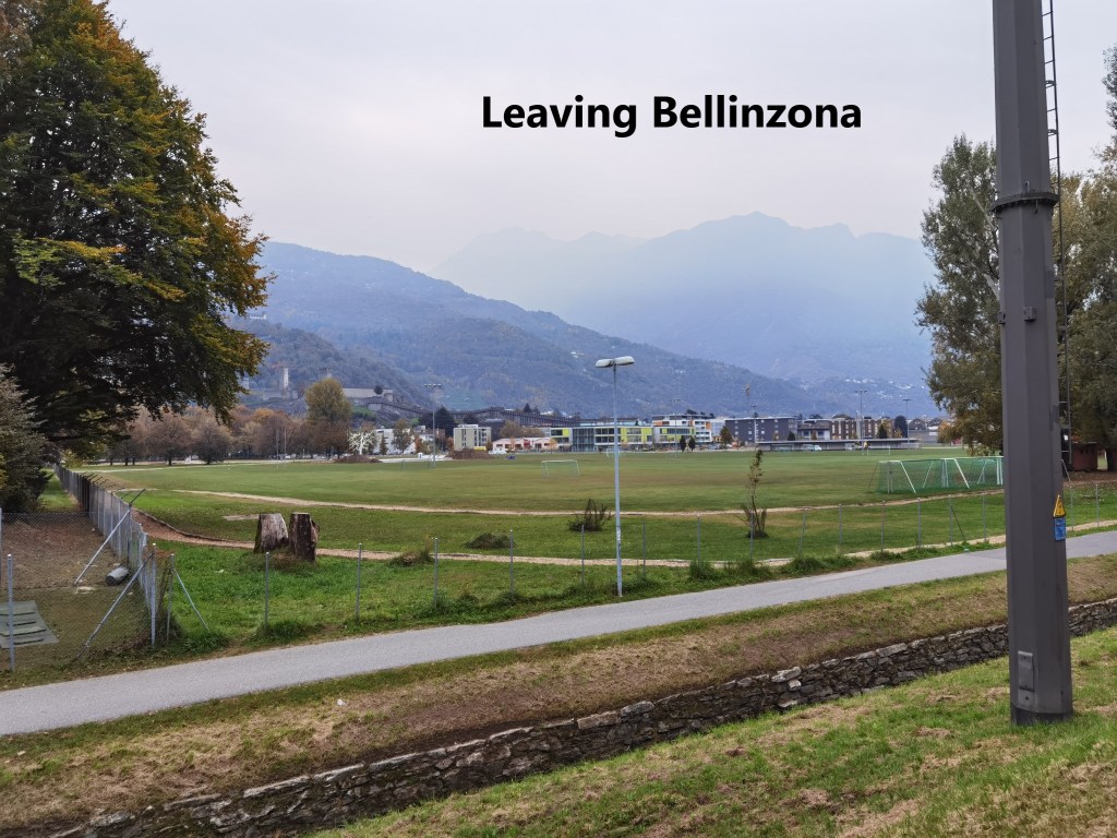
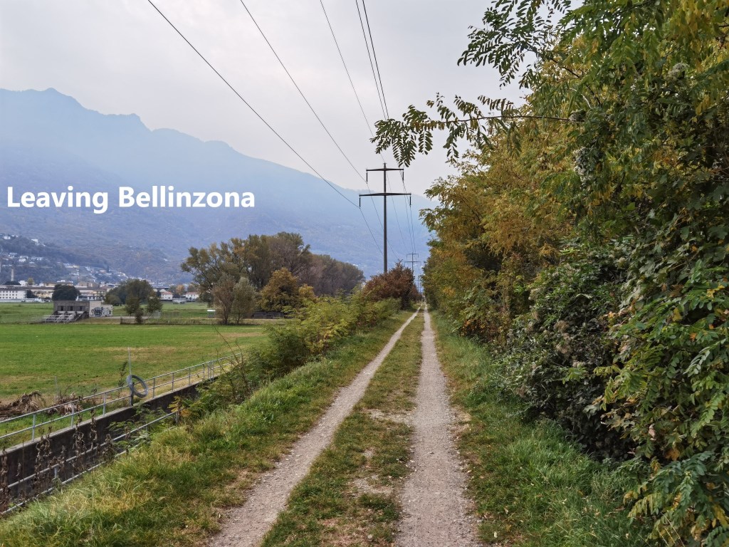
For the last two stages of the Trans Swiss Trail, I was happy to be accompanied by my friend Matthias. Because of the distance from Basel, we agreed to make a weekend of it, and to do the two stages on a Saturday and Sunday. The first of these two stages would take us from Bellinzona, where I finished last time, to Lugano. And so, early on Saturday morning, we started out. At first, the route is level, following the Ticino river. But the mountains were never far away, and although they were somewhat obscured by mist, we knew that we would have to go over them on our way south. We also knew that rain was coming, and we were anxious to make as much progress as possible quickly, hopefully being passed the highest points before the rain arrived.
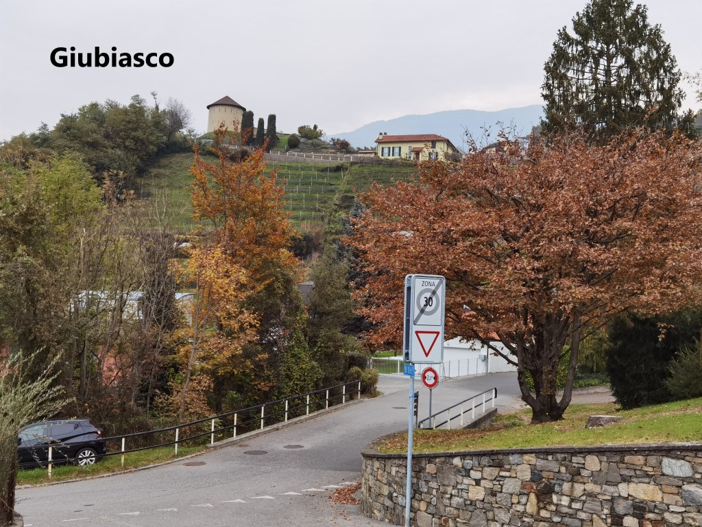
The route brought us to Giubiasco, and we left the river. We navigated our way through the town, and on towards the mountains. We left the town crossing over the old bridge, and the ascent began, first passing some vineyards before entering the forest.

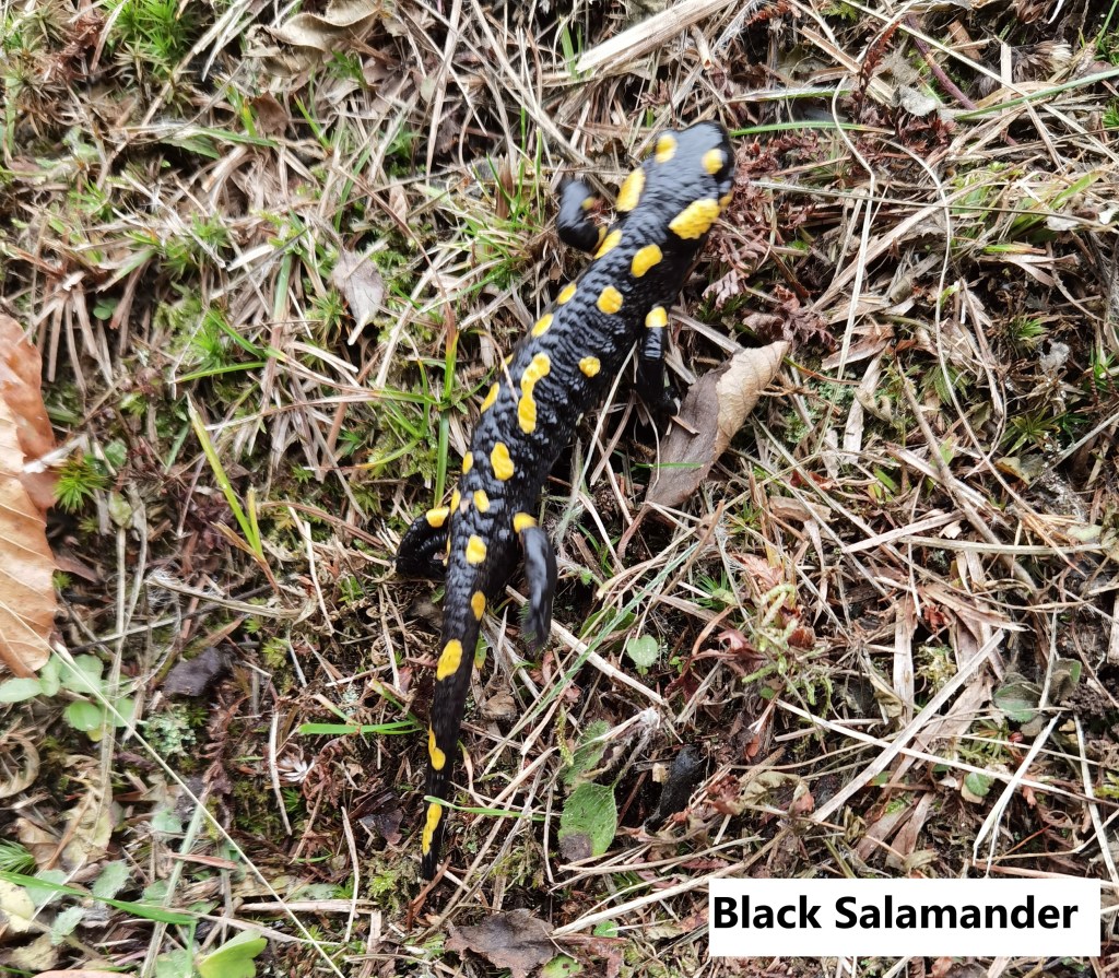
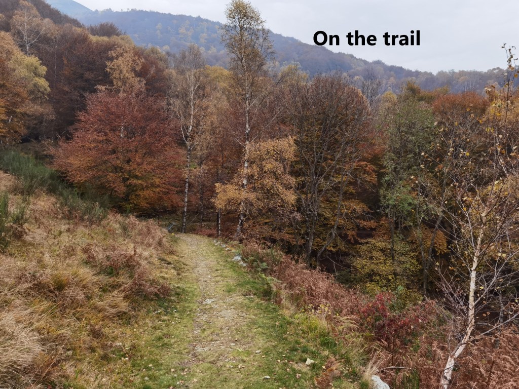
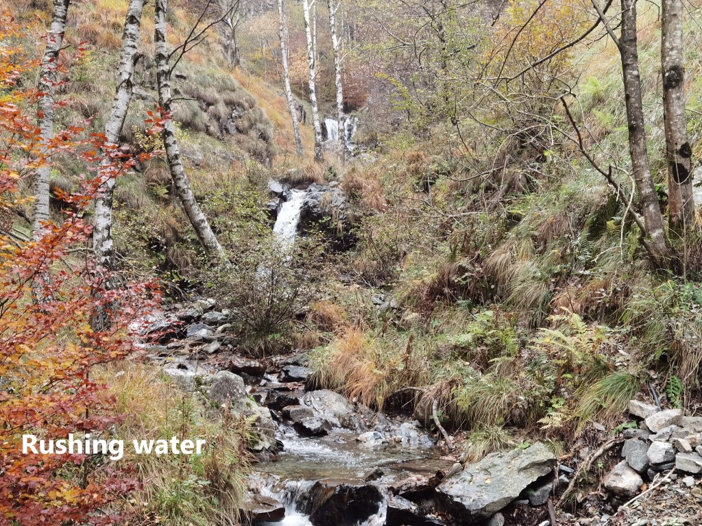
The route ascends upwards through the forest. It was mainly soft underfoot, and relatively dry, despite the weather. The forest canopy provides some protection against the rain. At times, the route would level out for a bit, and on one such occasion, we were lucky enough to find a black salamander. This type of salamander is also known as a fire salamander, and is different from the alpine black salamander. It is larger. Its bright yellow spots are a deterrent to predators.

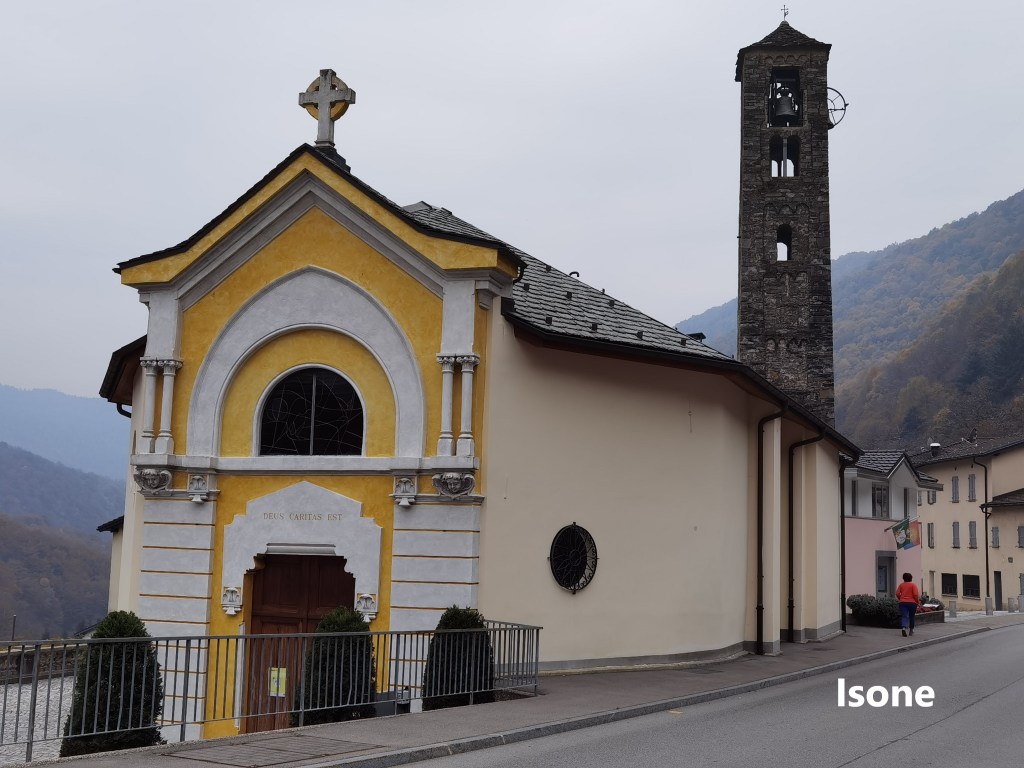
The route continues upwards, and it was a long ascent from Giubiasco at 230m to the crest of the trail at just over 1000m, From there, the route went downhill slightly to the village of Isone. Isone’s main claim to fame is that it is the location of the grenadier school for the Swiss army. However, for Matthias and myself it was a place to get a welcome beer before going on.
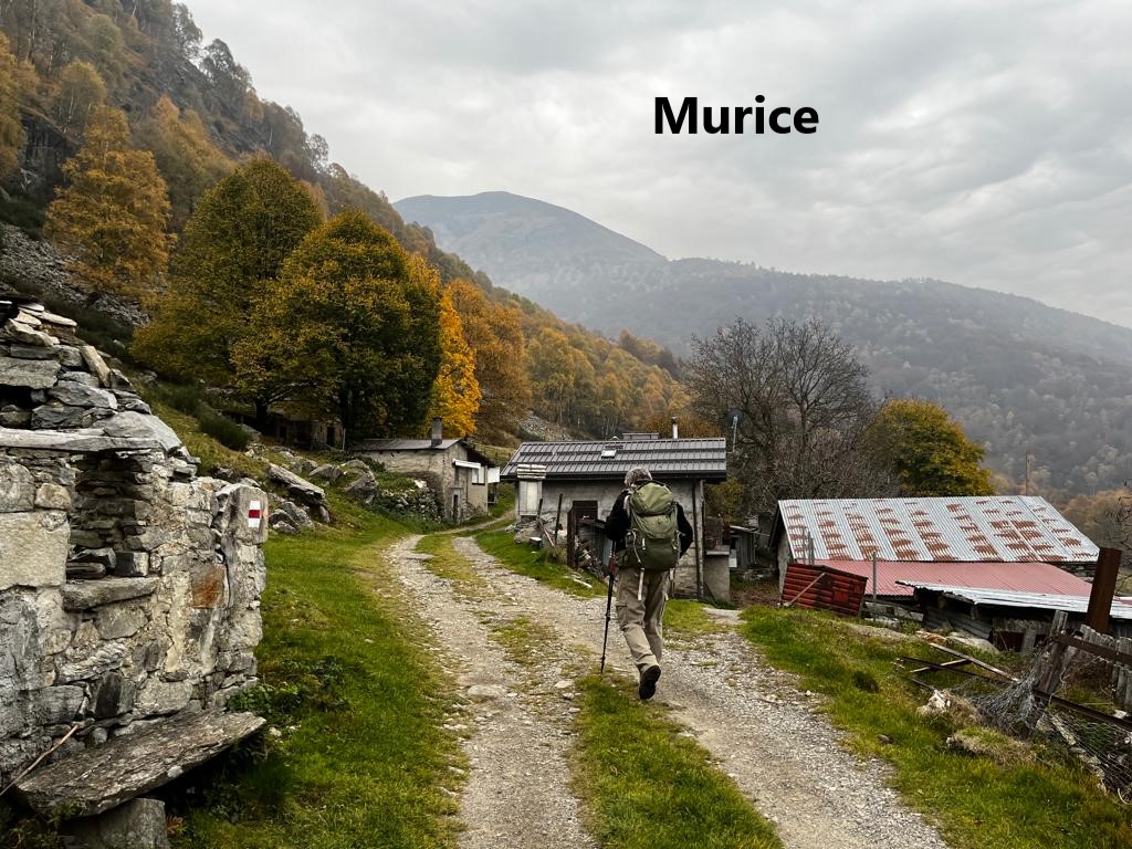
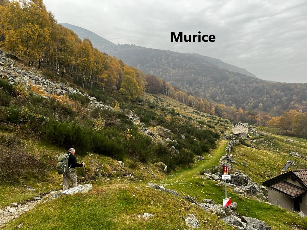
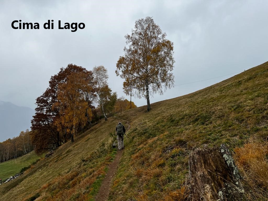
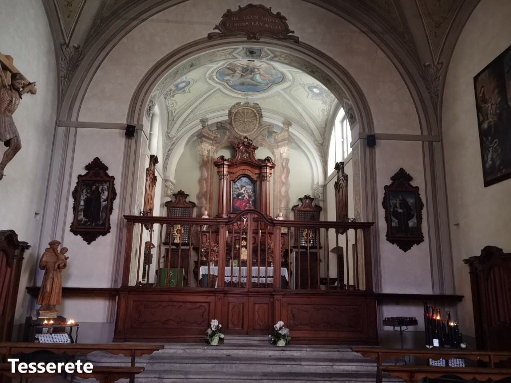
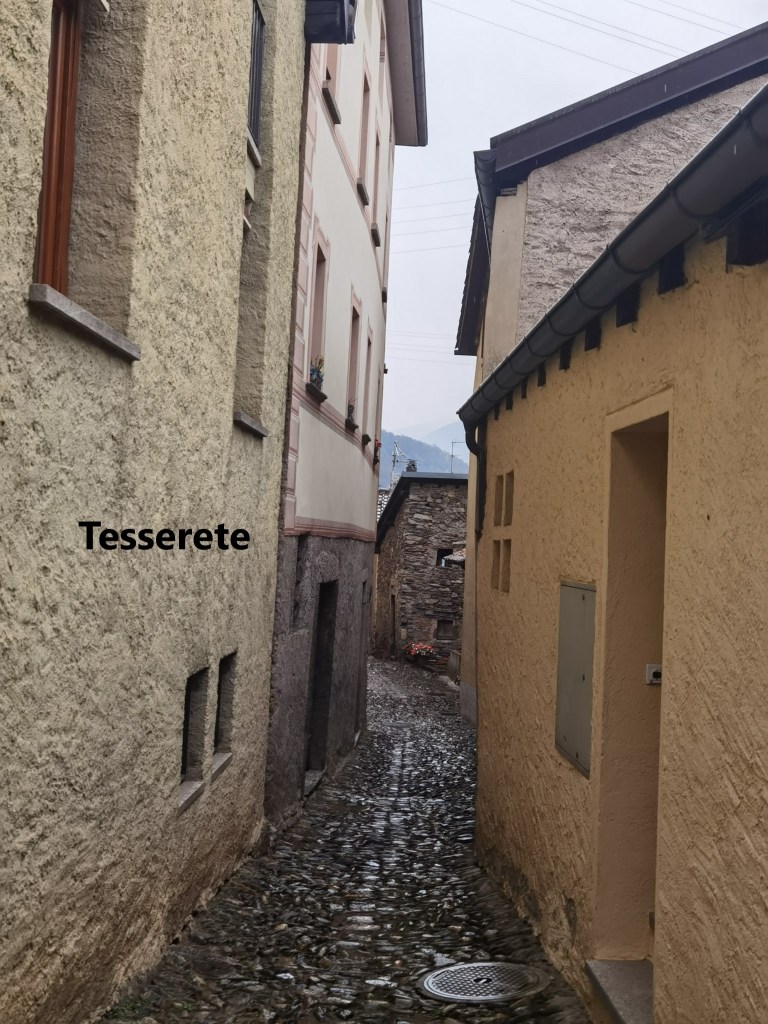
After Isone, the trail goes back up to reach a small isolated settlement at Murice. There were few signs of life in Murice, but for us it was the start of a relatively flat stretch of walking. After the effort of the ascents, this was welcome. The route did not go up or down much for the next few kilometres until we came to the junction at Gola di Lago. The route number 7 goes straight on, but our trail, number 2, turns left. On the Cima di Lago, it reaches 1029m, and then begins a descent. It is gradual at first, and then a bit steeper, going through the village of Bigorio to reach Tesserete.
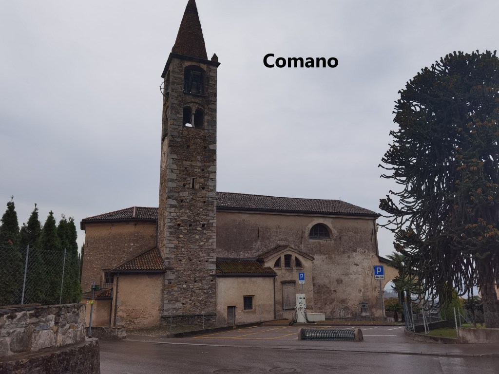
We had not completely done with ascents on the trail, and there was one more hill between Tesserete and Comano. By now, both of us were feeling the effort, but determination brought us over that hill and down to Comano on the outskirts of Lugano. The waymarks for the trail stop in Comano, and one could take a bus from there into Lugano, but as purists we were walking all the way. There was still a further four kilometres into Lugano itself.
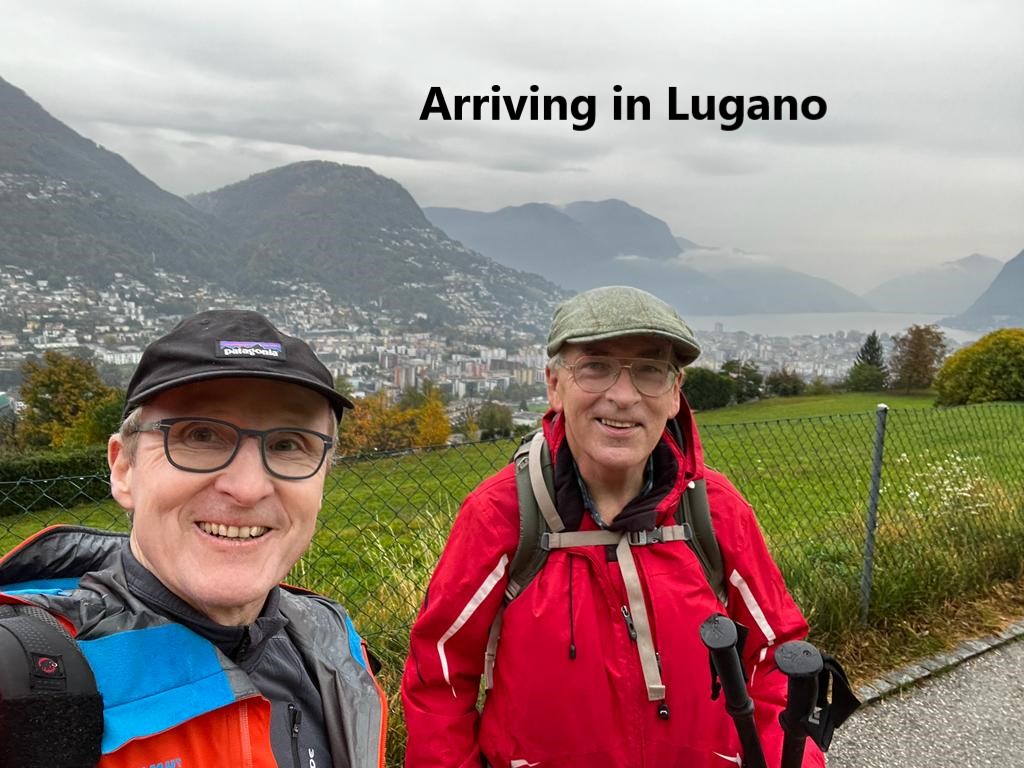
Matthias and I parted company at the train station, to get some rest and food, and to meet again on Sunday morning.
The total step count for the day was 63, 462, though that included going for a pizza later.


