Following my last walk over the mountains to the town of Stans, there was one outstanding piece of unfinished business that I wanted to complete before I go on later in the year to the final sections of the Trans Swiss Trail. Back in June, when I described walking over the mountains from Stans to Bauen, I mentioned that I took the route over the Faulberg. But there is another route in the same general area, going over the Hinter Jochli pass, so I wanted to see if that route offers a viable alternative as well. And so it was that I set out last Sunday to go over this more elevated possibility.
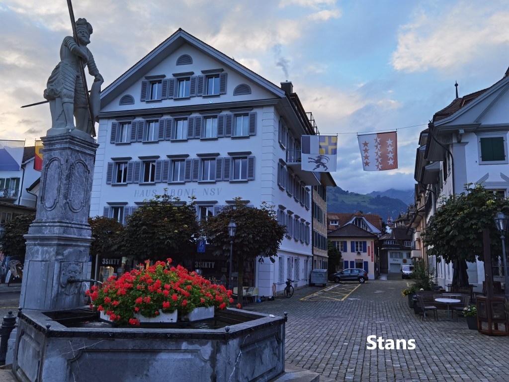
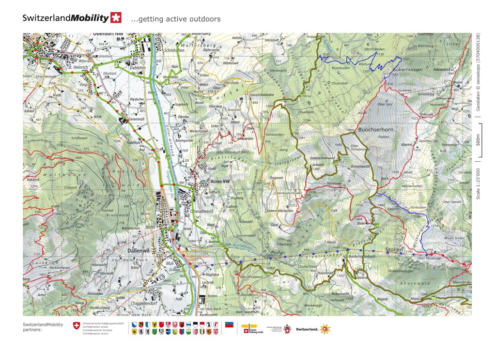
As usual, I reached Stans early in the morning and set off quickly. I took the standard route out of town, turning off at the St. Heinrichskapelle and heading towards Büren. The last time I was here, I went into that village and on up the mountain. This time, however, I decided to do something different. I went on into the other nearby village of Dallenwil and reached the Niederrickenbach Station. I had decided to take the cable car to the heights. The purists might argue that this was contrary to the ethos of walking, but there were good reasons for that decision. First, there was deteriorating weather forecast in the afternoon, and with the Hinter Jochli pass at 2105m, I wanted to be past that point before the bad weather would arrive. Secondly, this is a long walk, and there was an overall time factor to consider.
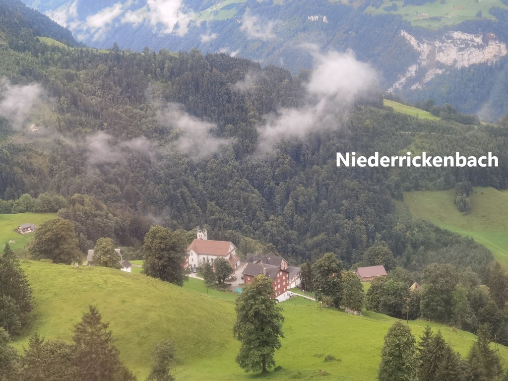
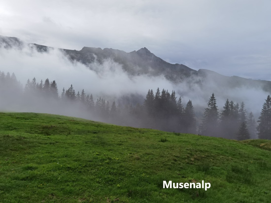
I took the first cable car to Niederrickenbach, transferring quickly to the second car going on to Ober Musenalp. There is a small farm at Ober Musenalp, one of those Swiss farms that only operate during the summer. The farmers take their cattle to the higher pastures for the summer and stay on the farm for the season. They, and the cattle will go back to the villages for the winter. While there, the farmers make cheese, commonly referred to as Alpenkäse. I stopped at Ober Musenalp long enough to buy some before going on. As I went, I could see the animals whose milk made the cheese that I bought.
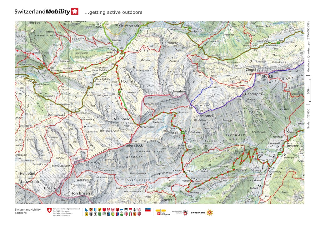
Going on from Ober Musenalp, I could see the mist coming up the valley to the south. There was a mist at Bärenfallen, but it seemed led than the last time that I was there, so in a spirit of optimism, I reckoned I should reach the pass without much difficulty.
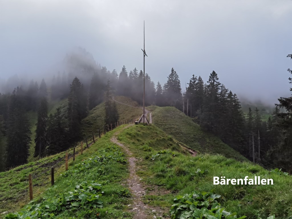
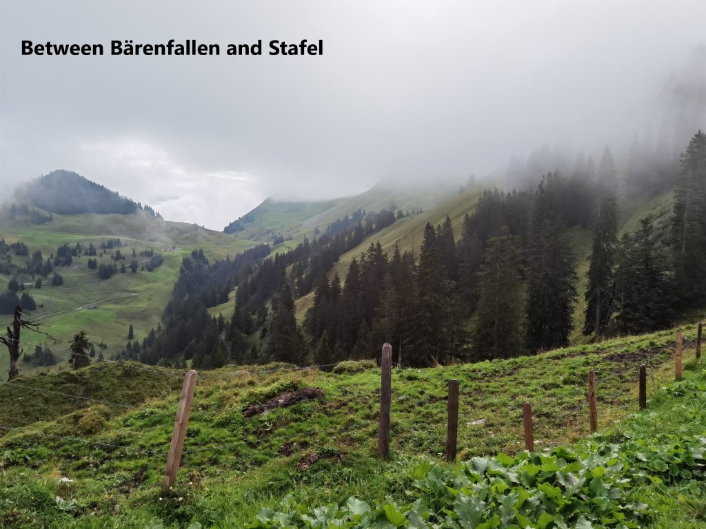
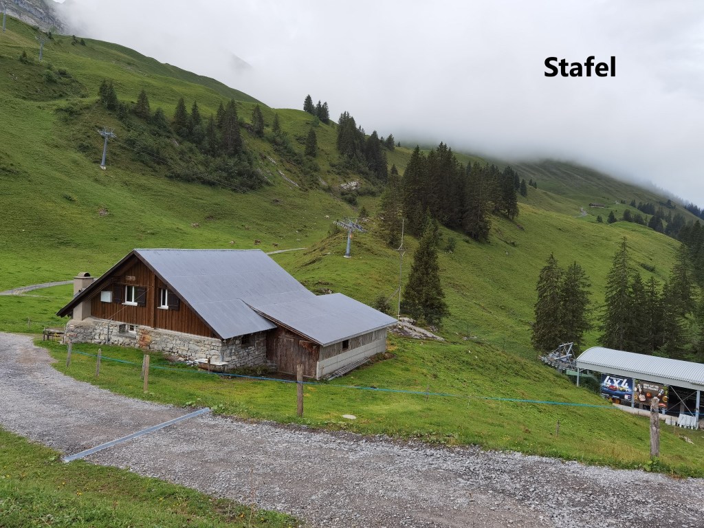
The route is quite flat from Bärenfallen to Stafel, following the ridge a little below the crest. Again comparing it with last time I was here, the path was clear. It had been obscured with snow last time. I reached Stafel in good time.
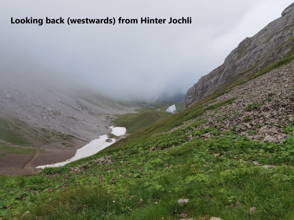
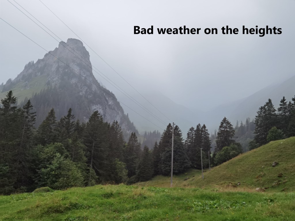
It is at Stafel that this walk becomes different from last time. The last time, I headed straight on eastwards towards the Faulberg, but this time, I turned south and began the ascent towards the pass at Hinter Jochli. There is a skilift that in winter brings skiers on up the slope from Stafel, and the trail more or less follows the route of the skilift. Initially, the route was in clear weather, but closer to the top of the pass, the mist was swirling about. At the top, I had a chance to look both east and west. Westwards, the clouds were rolling in ahead of the bad weather that was forecast. It looked clearer to the east, but not enough to be confident. The pass is at 2105m above sea level, so it was quite chilly in the end of August. I did not wait there but went straight on.

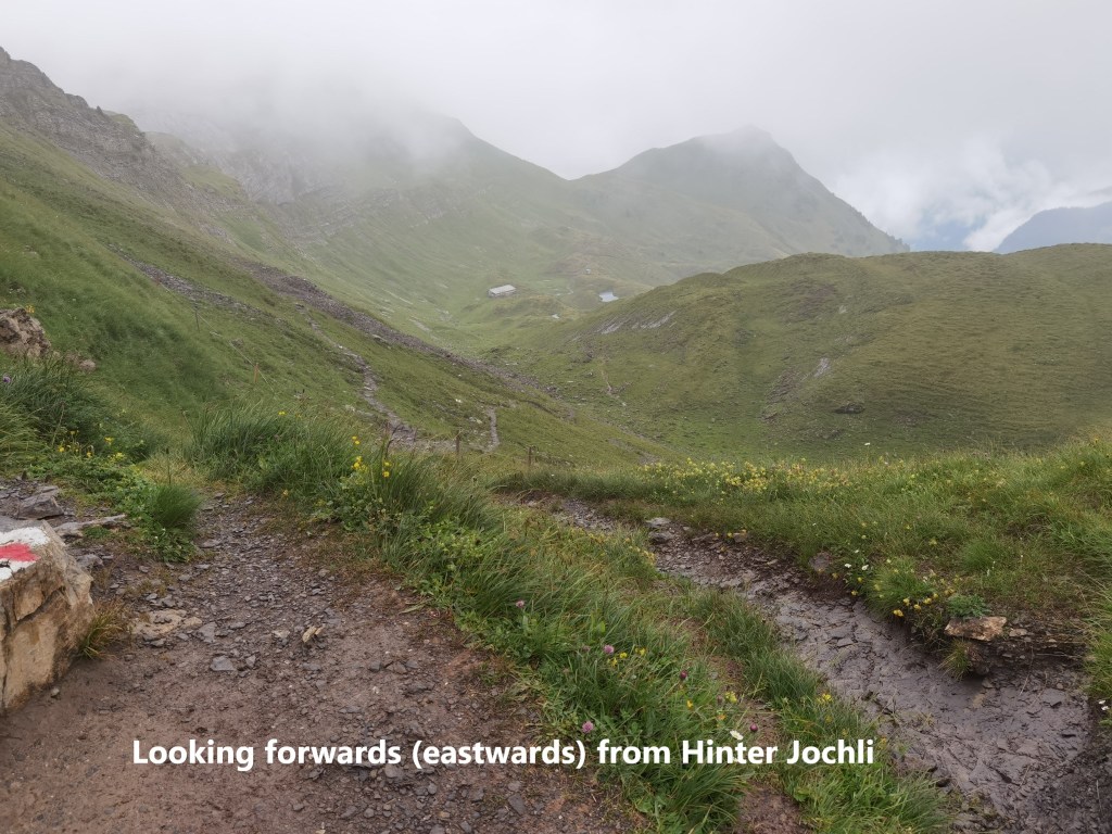
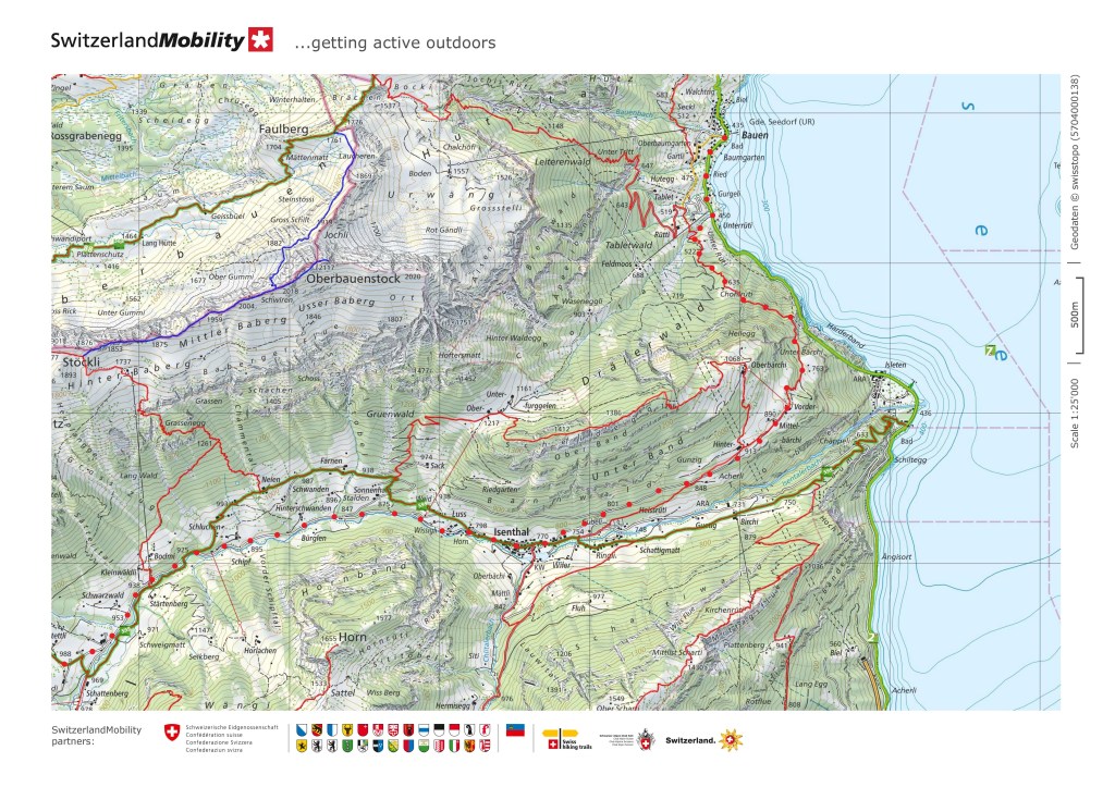
Once I descended a little, I was back into clearer weather and more pastureland. At Chneuwis and Oberegg, I could see that the coming bad weather was already on the summits, so I kept going.
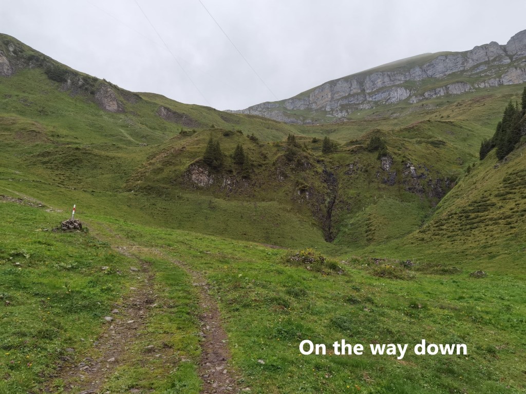
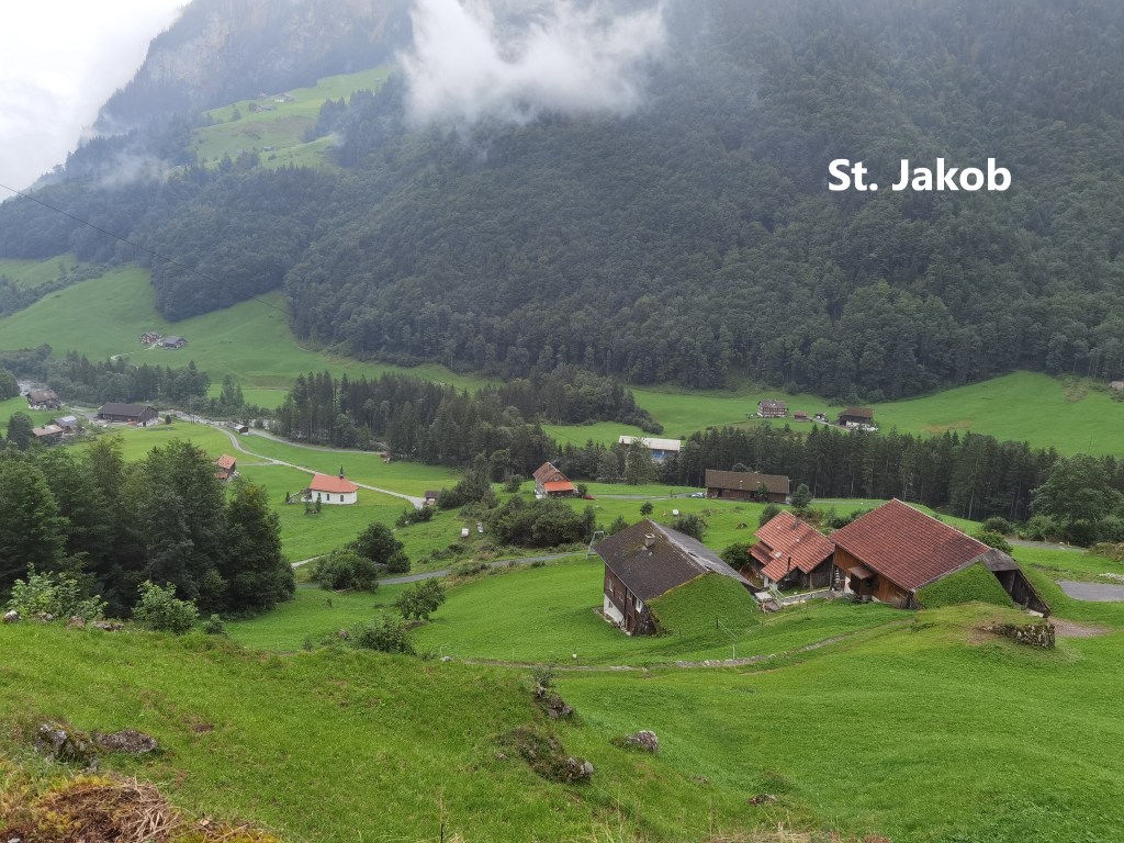
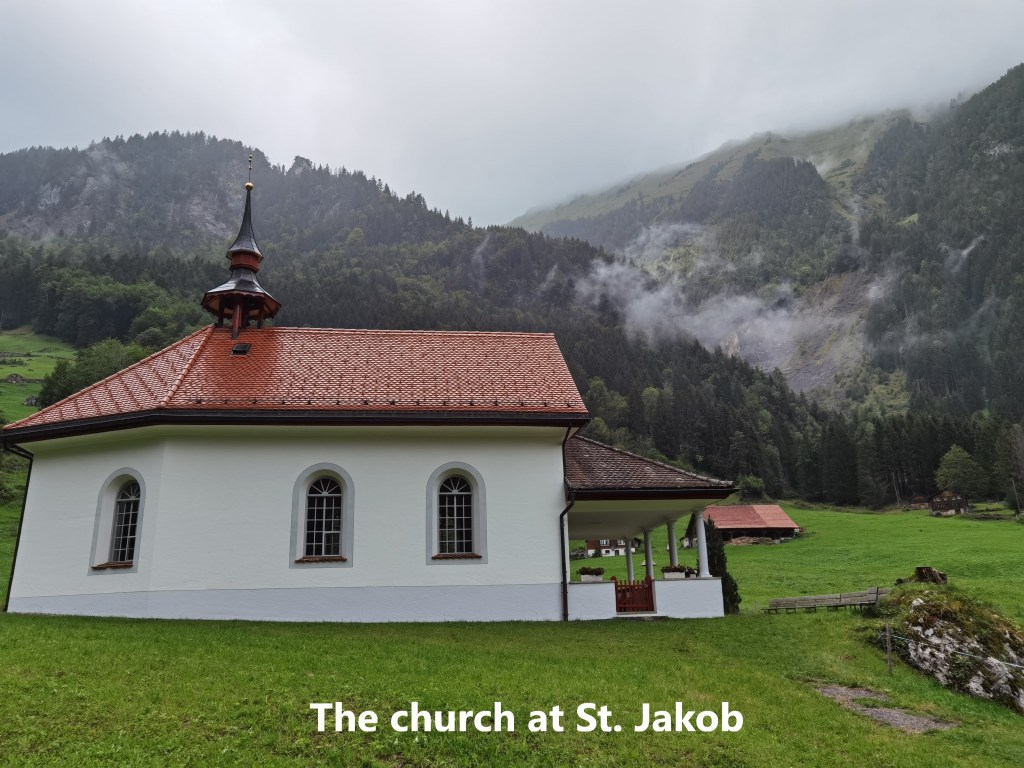
Eventually, the settlement of St. Jakob came into view. When I reached it, I found a pleasant little church, with a wooden carved statue of the saint just to the left of the altar. St. Jakob is the German name for St. James, and I will soon be following the Camino again, so it was good to visit this little place dedicated to him.

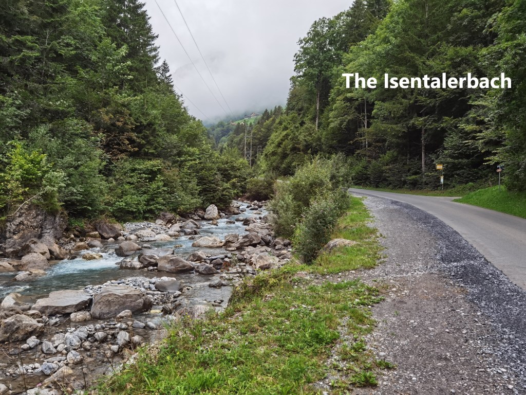
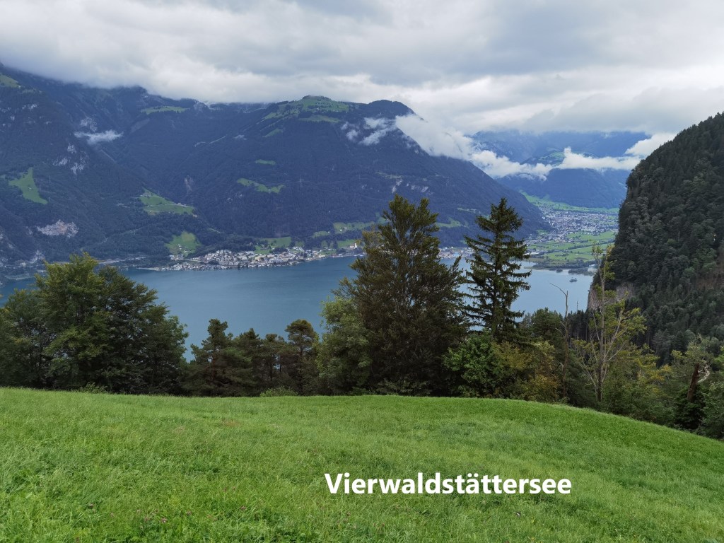
Then, it was on downhill, following the Isentalerbach. I took a short cut to follow the road rather than the official trail, as by now it was well into the afternoon, and I wanted to reach Bauen ahead of the bad weather. In the village of Isenthal, I turned off, going up the hill to the north. As I reached the crest, the Vierwaldstätter See came into view.

Then it was all downhill, some of it through the woods, and some of it following an old mule track. The slope is not too severe, but the distance was beginning to make itself felt in terms of weary legs. But I reached Bauen not too long after mid-afternoon. I had a short wait before the boat came that would bring me to where I could get the train back to Basel. Once again, the boat was the old steamer Unterwalden. The old vessel looks like she has a long life ahead of her yet.
Within 10 minutes of getting the boat, the rain started. But for me that didn’t matter, I had completed the walk, and I was on my way home.
The total step count for the day was 52,780.
In the maps below, the red dots show the route that I walked, while the cable car section is shown with blue dots.