
The place where I was staying last night did not do breakfasts, so I was up early to make sure I would get something at a local café. And sure enough, when I came out of the Pension at 07:30, there was a café already opening up just a few doors down the street.
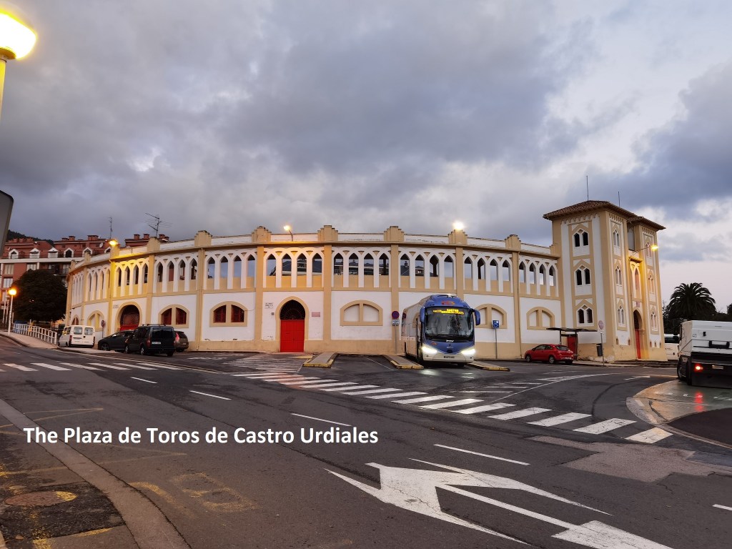
After breakfast, I headed out of Castro Urdiales. The directions were easy: just head out along the Calle Santander until you come to the Plaza de Toros, and then take a left. The signs were not very plentiful up to the Plaza de Toros, but then things got better.
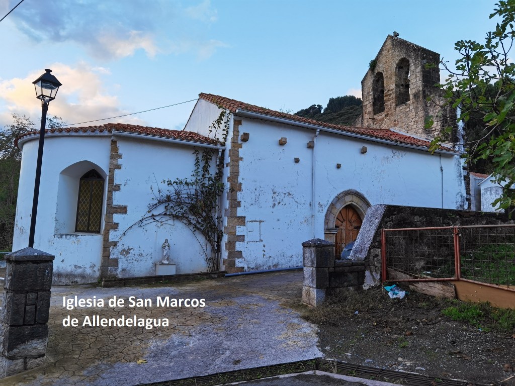
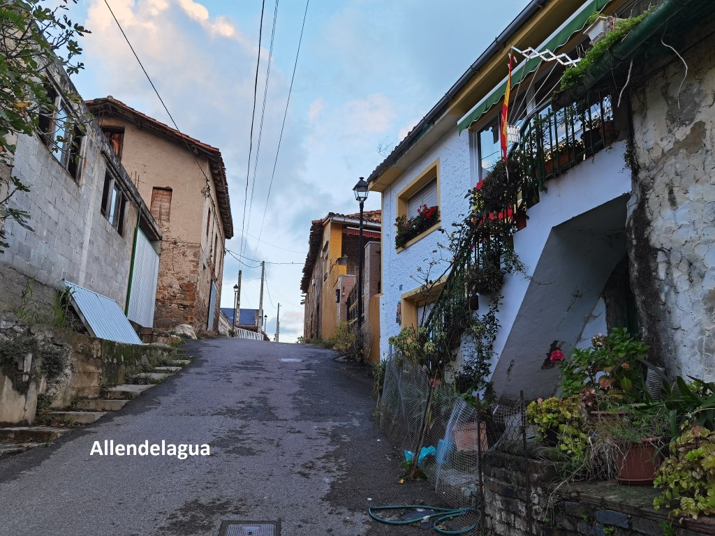
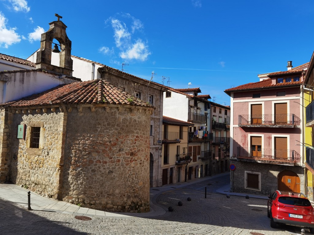
The route crossed under the main road and was more or less straight from there to the tiny village of Allendelagua. The village church, closed, looked slightly dilapidated, and the village itself did not look a whole lot better.
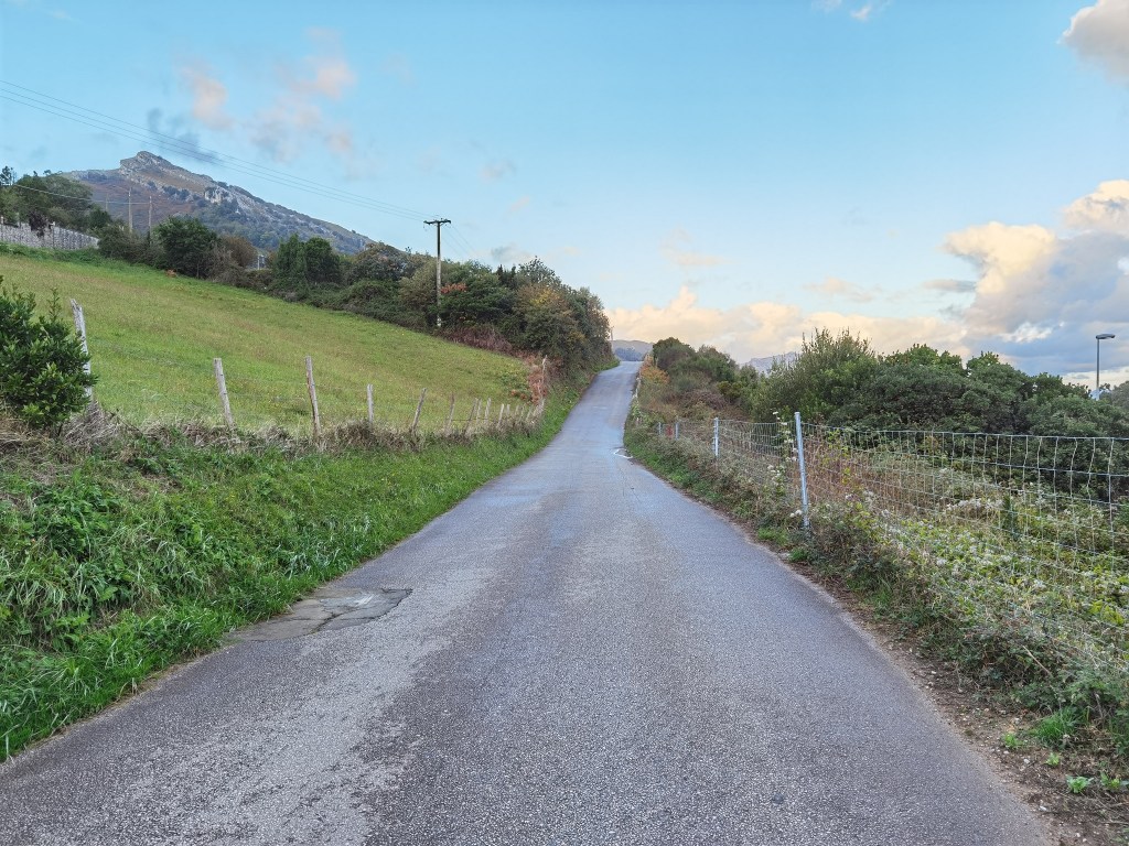
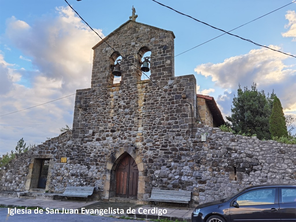
Then it was downhill, and parallel to the motorway for a while, before crossing under and taking a route close to the coast. That brought me to Cerdigo, where again the village church was closed.
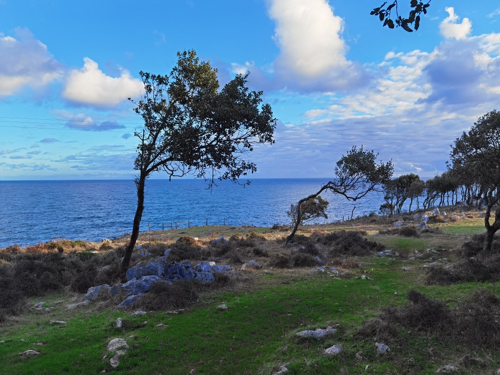
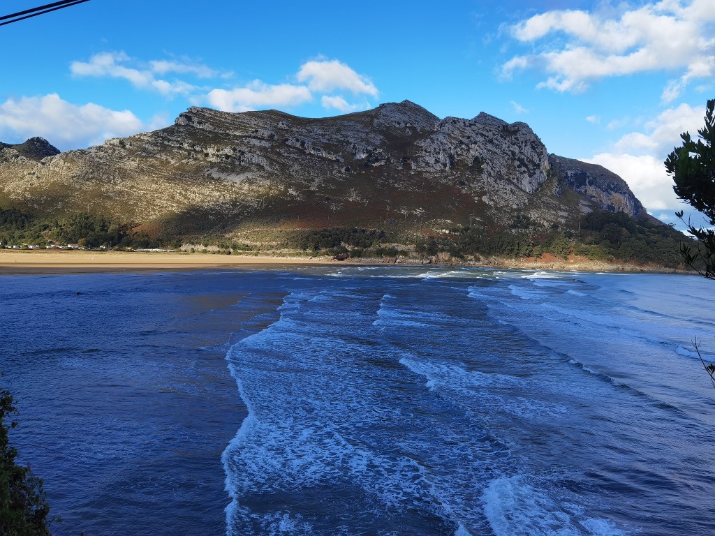
After Cerdigo, the trail goes down to the coast and stays close to the shoreline for a while. The trees in this section reminded me of the west of Ireland, growing mostly on one side, away from the prevailing wind.
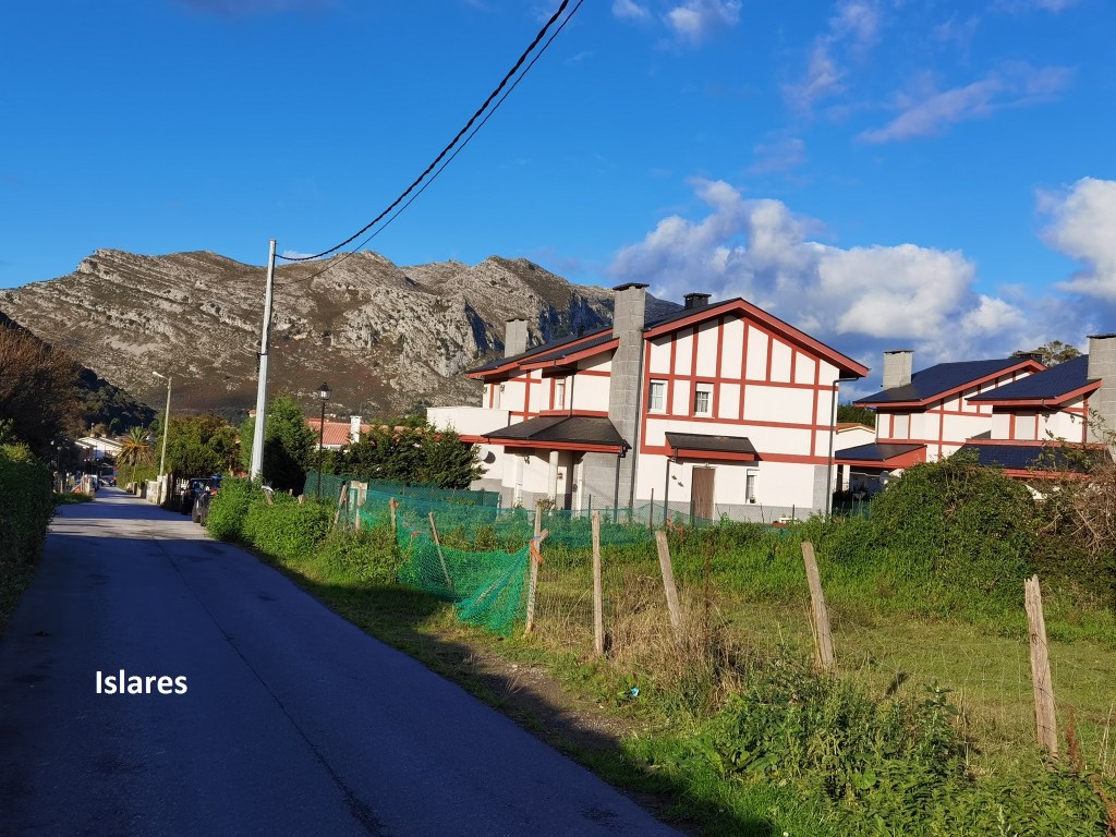
And so I came to another village: Islares. Again, the church was closed. The route seemed to be heading towards a mountain of rock, and if I had not looked at the map earlier, I might have been wondering how it proposed to get over that thing.
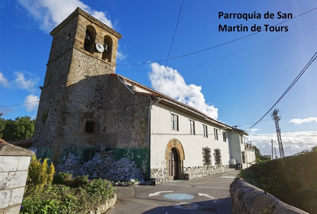
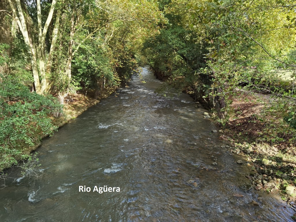
But in fact, the route heads inland, because there is a river estuary between Islares and that mountain. The trail goes for more than five kilometers, first following the main road, and then a lesser road. The section alongside the main road was better today than yesterday. It was in fact a track just inside the crash barriers, so I felt safer than yesterday. The main road crosses the river at Pontarron, mut I went on, first to Rioseco and then to Guriezo before crossing the Rio Agüera to La Magdalena.
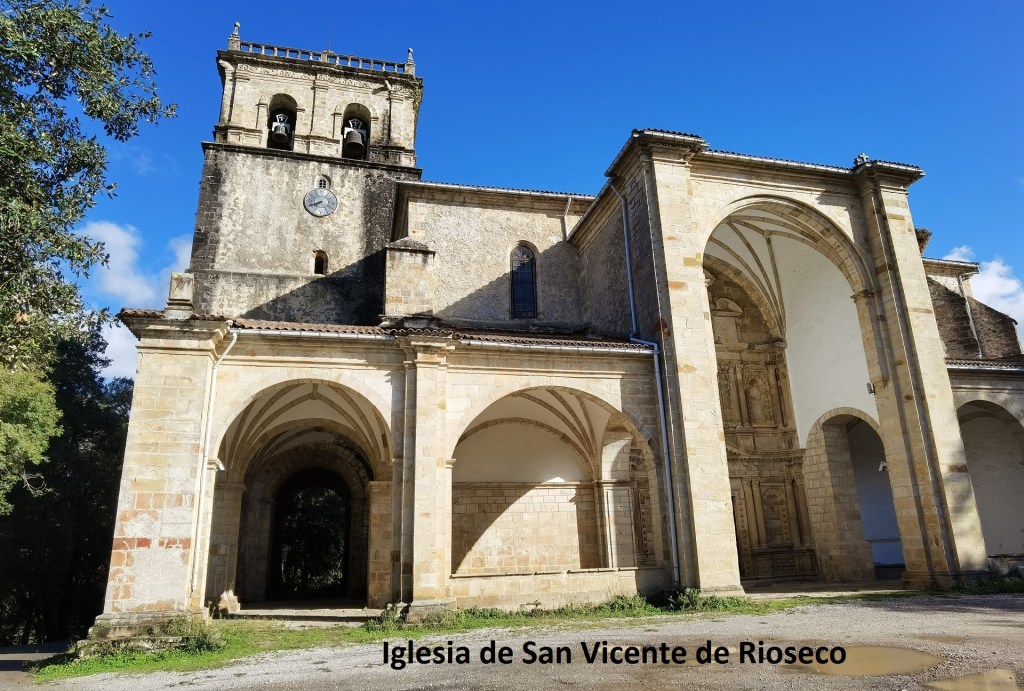
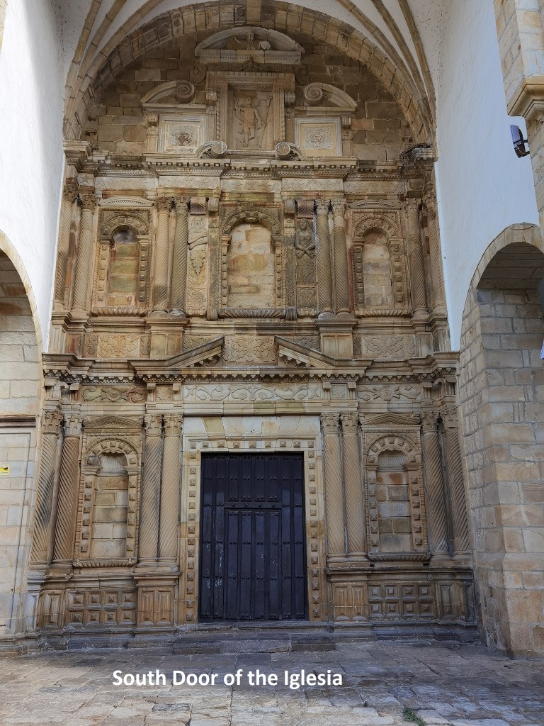
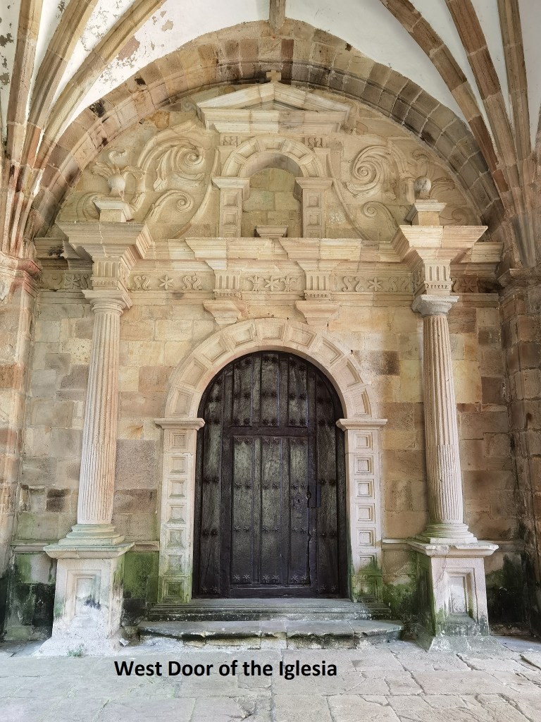
In Rioseco, I came to the Iglesia de SanVicente, which like so many others, was closed. It was a pity, because if the carvings on the doorways are anything to go by, this is a church worth visiting. It dates from the 16th century, and I would have liked to see inside.
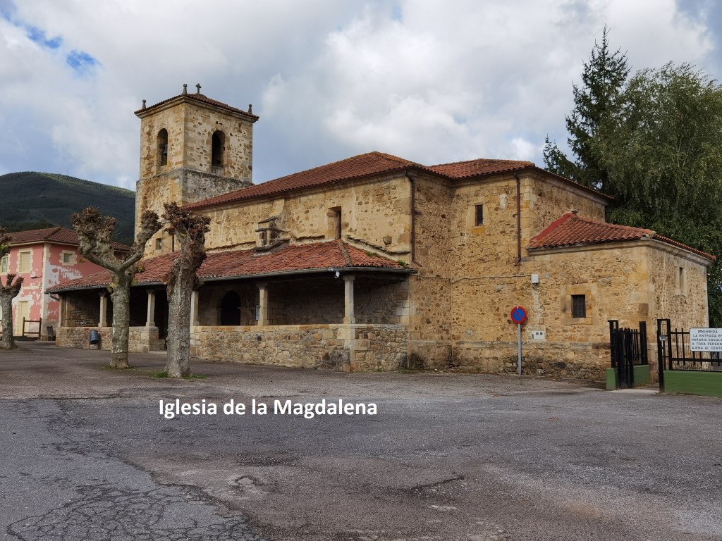
As I mentioned, I crossed the river into La Magdalena, where their church was also closed.
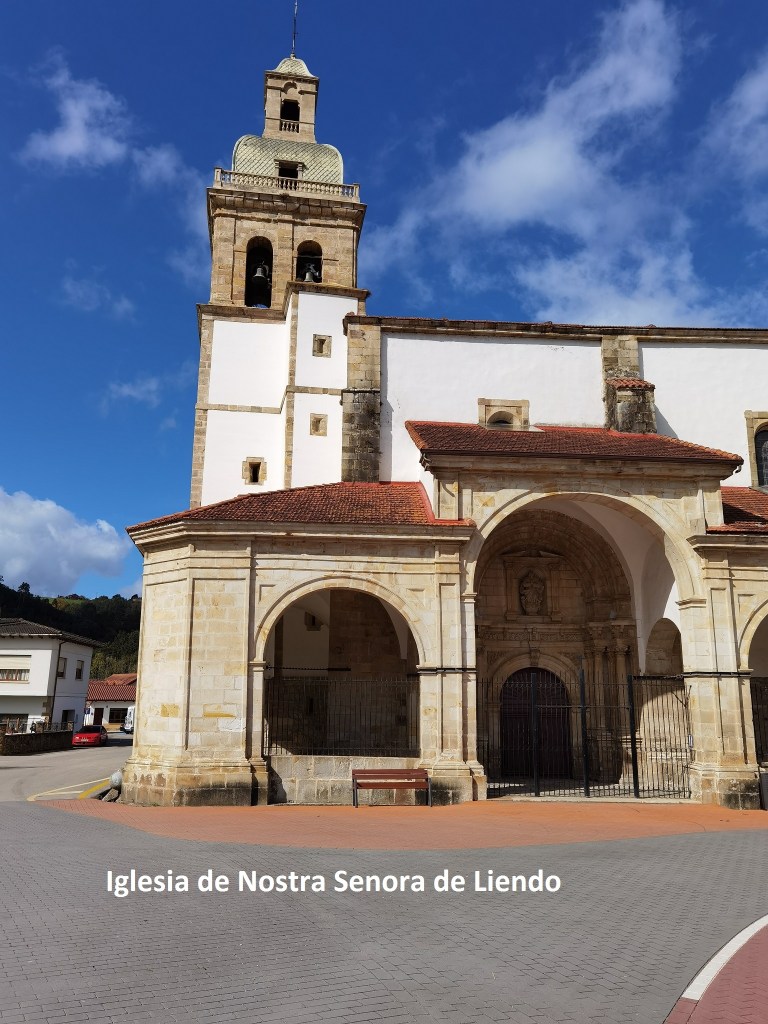
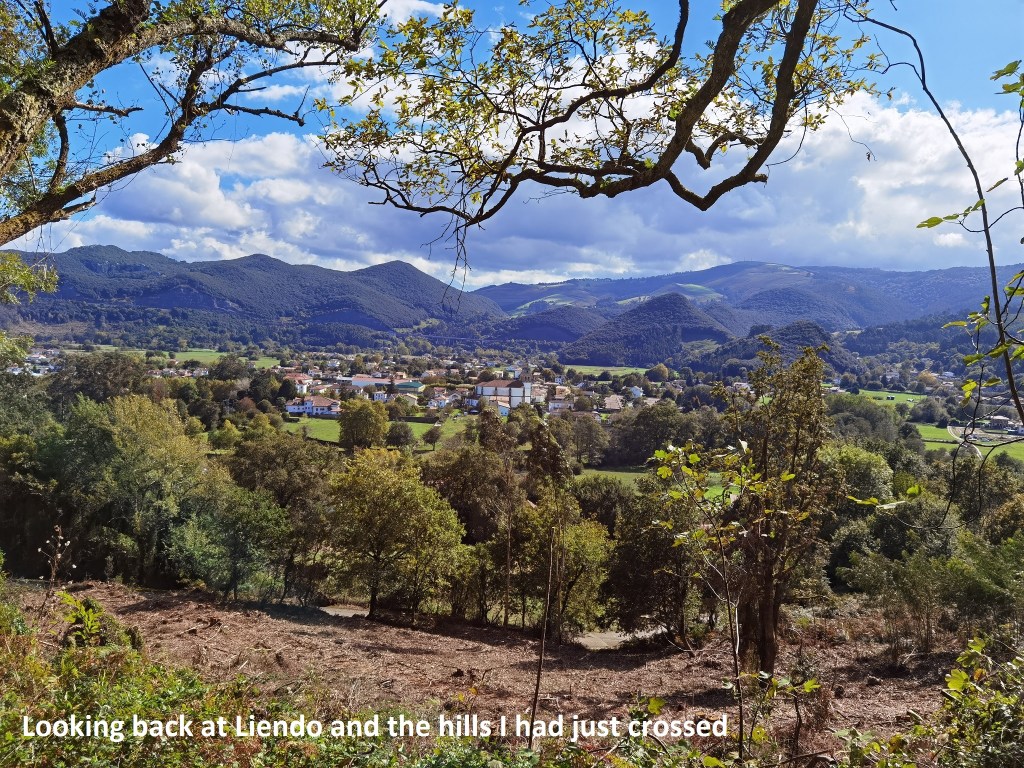
The route then took me down a small lane, that before long turned uphill and became a muddy forest track. The waymarks were scarce, but by a combination of map reading and dead reckoning, I never lost the trail. Close to the col, the track widened into an unpaved road. After that, there was a long descent, crossing under the motorway, to reach the village of Liendo, where I had lunch.
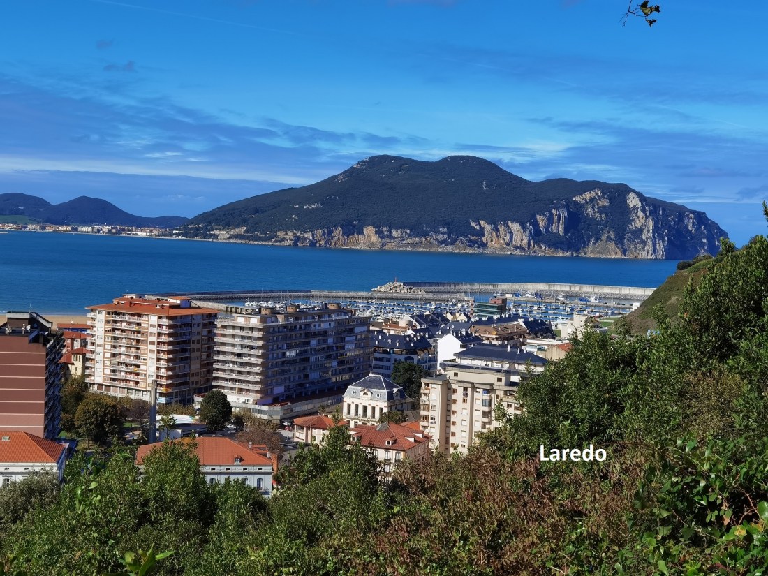
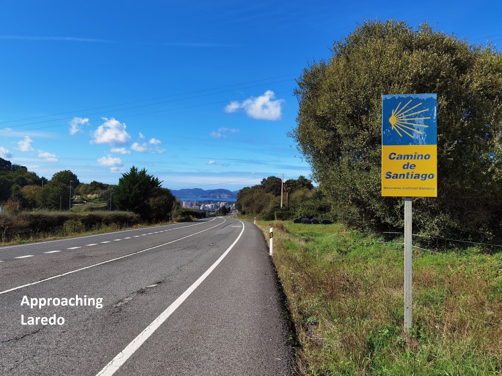
After Liendo, it was uphill again, with occasional views back over the way I had come. The route took me back onto the main road. Although I was not granter a separate track, the margins were wide enough and well-marked, so I felt OK about it. And then, it was downhill into Laredo.
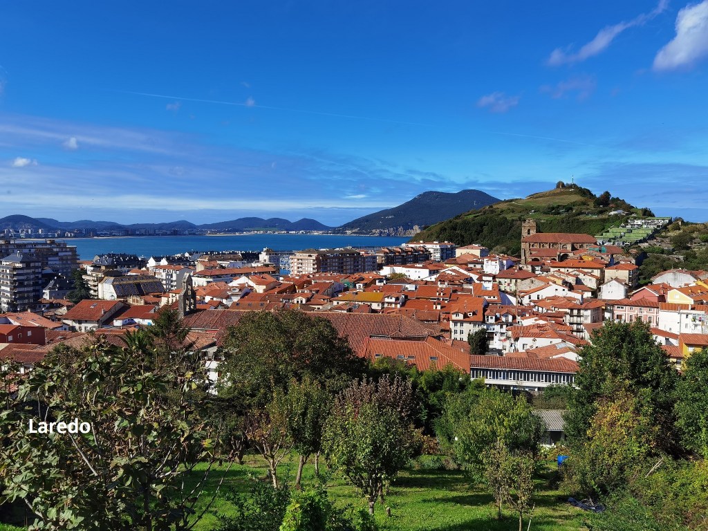
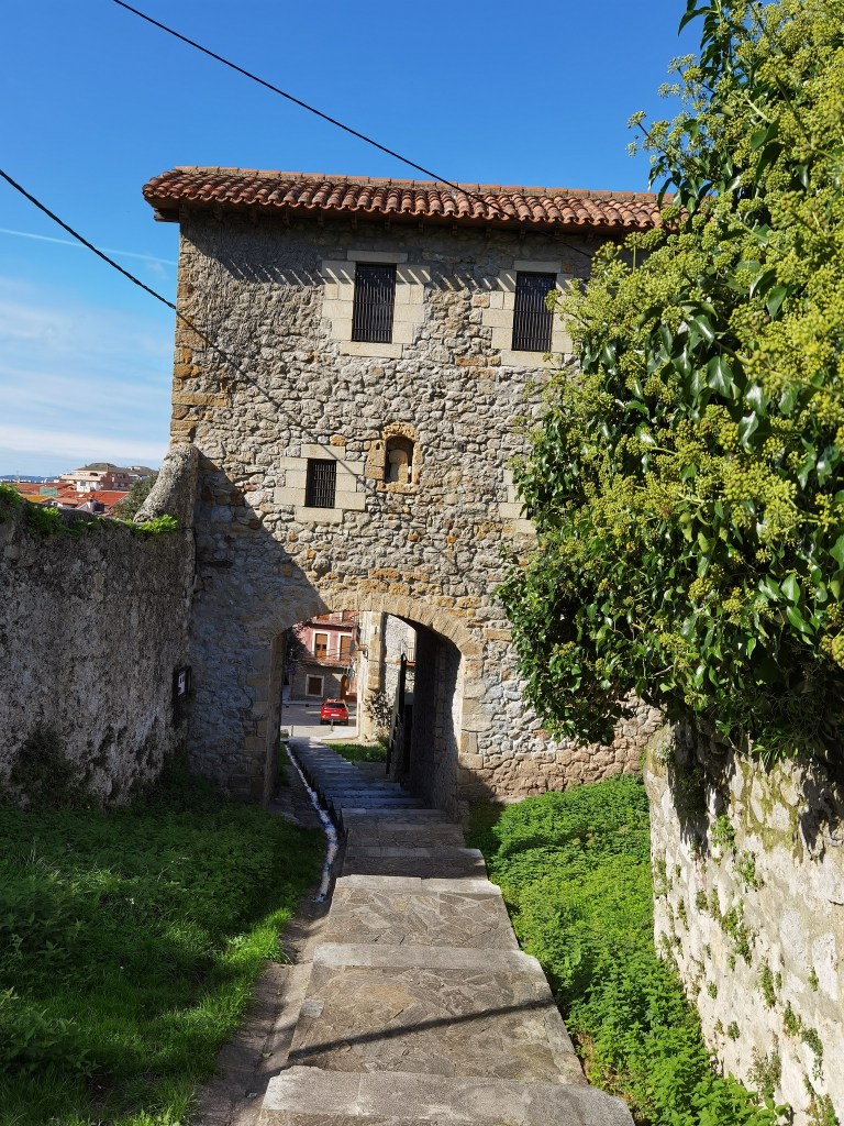
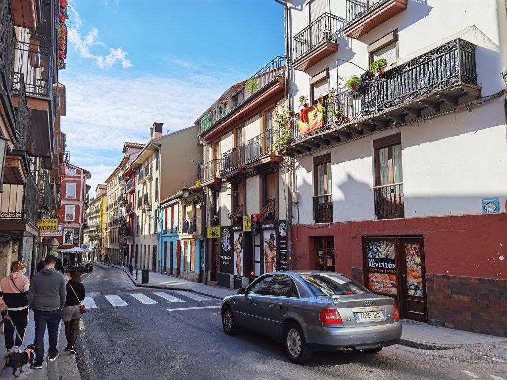
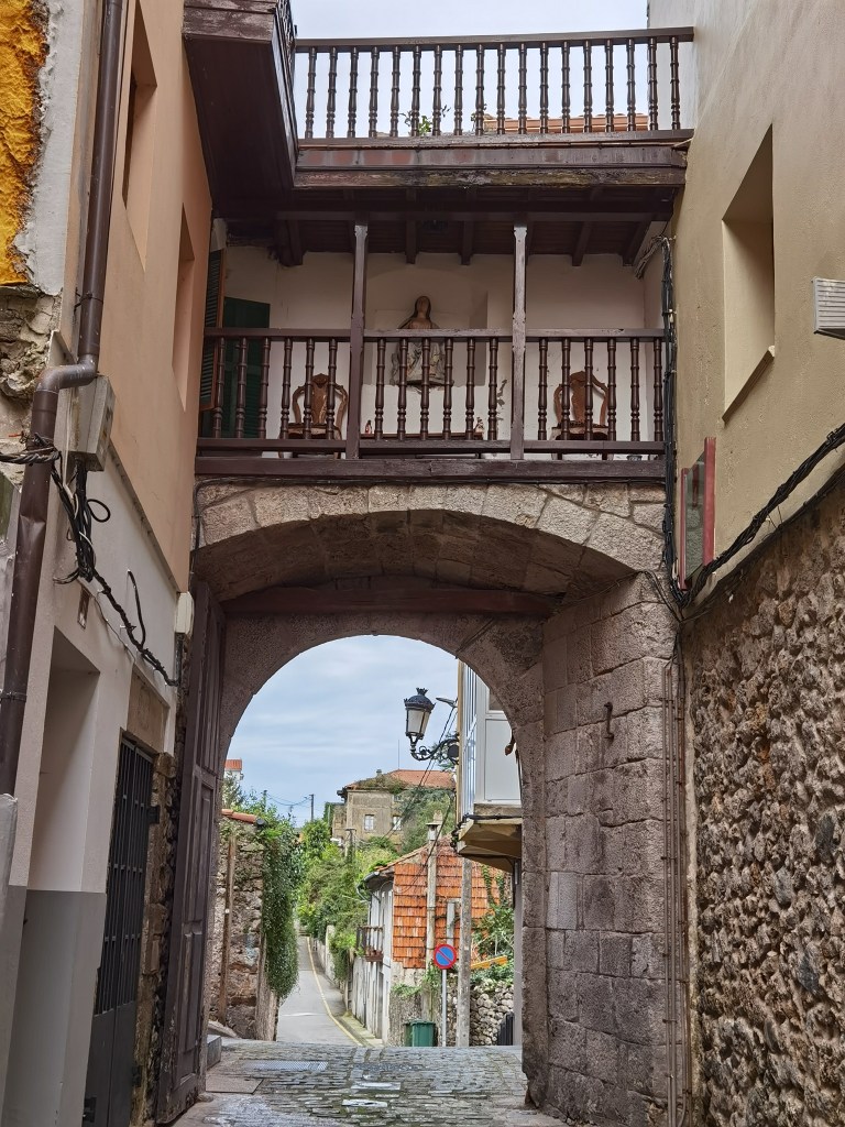
The name Laredo brings back an echo from my childhood. At that time, what were called “gunfighter ballads” were popular, songs based on the American wild west. One of these was called “Streets of Laredo”. I don’t know who sang it then, but there is a fine recording by Johnny Cash not long before he died. But that was a different Laredo. This Laredo existed long before the new world was known. The old town is a place of old buildings and narrow streets. An interesting place to stroll around, which is what I did this evening.
Part of that stroll was to resolve a problem that could be significant tomorrow. The ferry across the bay at Laredo has stopped running for the winter. That means I will have to get a bus to the other side of the river. I will have the full story tomorrow.
And of course, the step count for today is important. It is 49,268, the highest number so far on this trip.
