
It was raining this morning, and it rained for most of the journey. That means that I will not have so many photos here today, but I will indulge in a few musings.
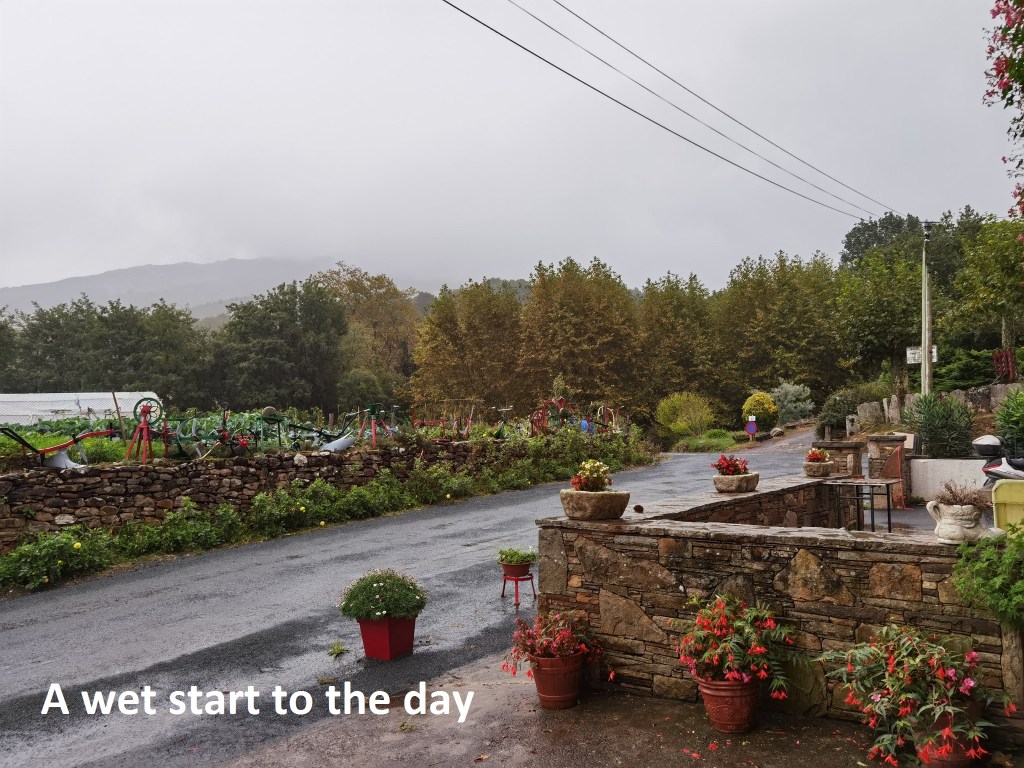
The breakfast was good, and had me well stoked up for the day. With the rain, the first thing I had to do when emerging from the overnight accommodation was to put on the rain gear. I have very good raingear, but it is damned hard to get it on right. So I spent about ten minutes working on it before I was satisfied that I had it right, and then I was ready to get on the trail. The ascents today were not as difficult as on the other days, but in the rain, they were just awkward. But I made it in good time to the Col du Grand Escarga. The markers there were a bit confusing, but I found the right one and headed on towards Venta Inzola. Venta Inzola is a curious place. In general, the border between France and Spain follows the line of the peaks, so that valleys tend to be all in one or the other. The north-facing valleys along the route are generally in France, and the south-facing ones are in Spain. But Venta Inzola is an oddity in that it is a north-facing valley that somehow ended up as Spanish territory. So confusing is it, that I wasn’t sure I was on the right trail but a check on the map confirmed I was where I should be.
Then it was upwards again. It was not a long ascent, but in the rain everything seemed longer. Still, I reached the road heading to the Col d’Ibardin soon enough. The GR10 train leaves the road and goes through the forest to get to the col itself, but I decided in view of the rain to stay with the road. At the col, there are various amenities. On one side is a tourist complex offering shops, petrol and so on, while on the other side is a small bar-restaurant-shop. The road itself is the border, and the larger complex is on the French side. But my journey is to Spain, so I chose the smaller establishment. Even in the rain, one gets thirsty, and a beer, just one, was welcome.
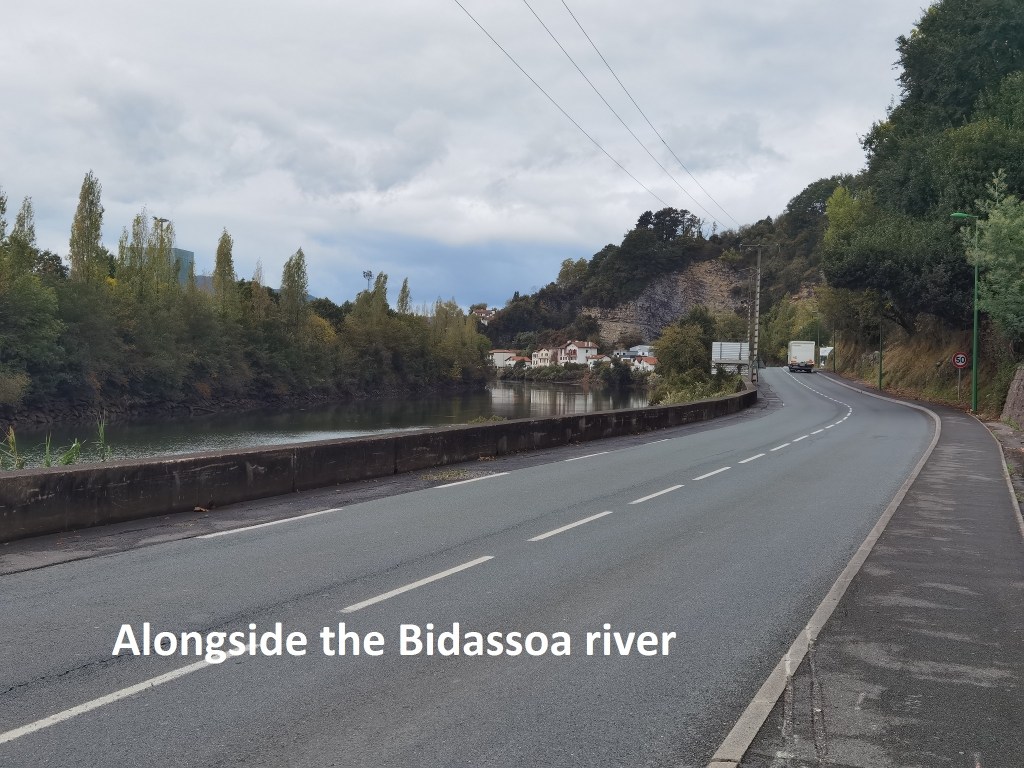
From the Col d’Ibardin, the GR10 goes upwards by 200m to a mountain called mandale, but in the driving rain, I spotted another route that would take me downwards, and get me to Irun faster. Or so I reckoned anyway. It was a good wide track and well surfaced, so I did not have to negotiate the rougher terrain that has been a feature of the route in recent days. The track brought me down to a residential area called Biriatou, and from there it was road walking all the way. The road runs close to a motorway, with lots of trucks going in both directions. I turned away from the motorway at Behobia and followed the Bidassoa river towards the coast.
Crossing over on the Bidassoa Bridge, I was able to see Isla de los Faisans, or Pheasat Island to give an English translation. I had heard about this island before, and now I could actually see it. Sitting in the middle of the river, it could belong to either France or Spain, but they have chosen to share it. For six months of each year, it is Spanish, while for the other six months it is French. Today, it was Spanish. The island has been the scene of several important meetings of French and Spanish heads of state. It has no buildings, but there is a monument to some its historic meetings of the past.
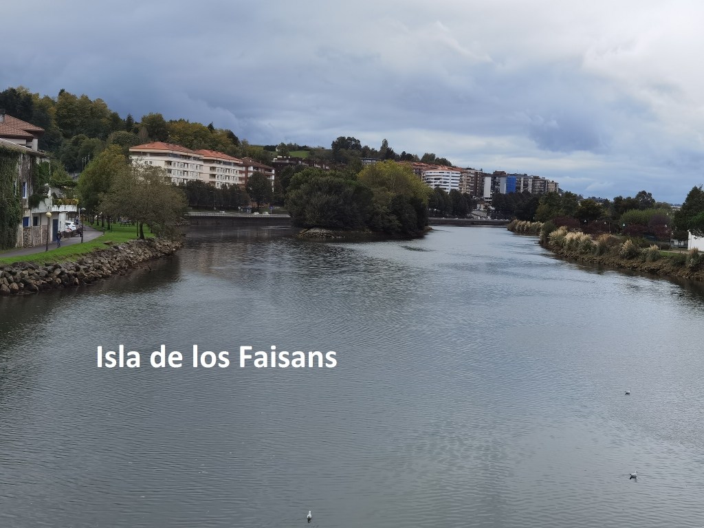
Such a situation is not unique. I know of something similar regarding an island in the Rhein between Switzerland and Germany, but in that case, neither country has declared ownership. I won’t say exactly where it is, in case anyone should decide to set up an independent republic there, or perhaps worse, a kingdom.
Going back to today, I had now arrived in Spain, and was in time for lunch. It was great to get warm food after walking so long in the rain, even though the rain had now stopped. Then, I went on the last few kilometers into irun itself, and that is where I am this evening.
And to finish, my step count for the day is 39,188.
