

Monday, September 28th.
I started out a little later today, just before 08:30. The gite where I spent the night was off the route, so the first thing was to get back on the route. Once back on track, I noticed a timing issue. The guide book had said this stretch would take 6 hours and 15 minutes, but the signs said it would take 8 hours and 40 minutes. But I was committed, so it would take what it would take.
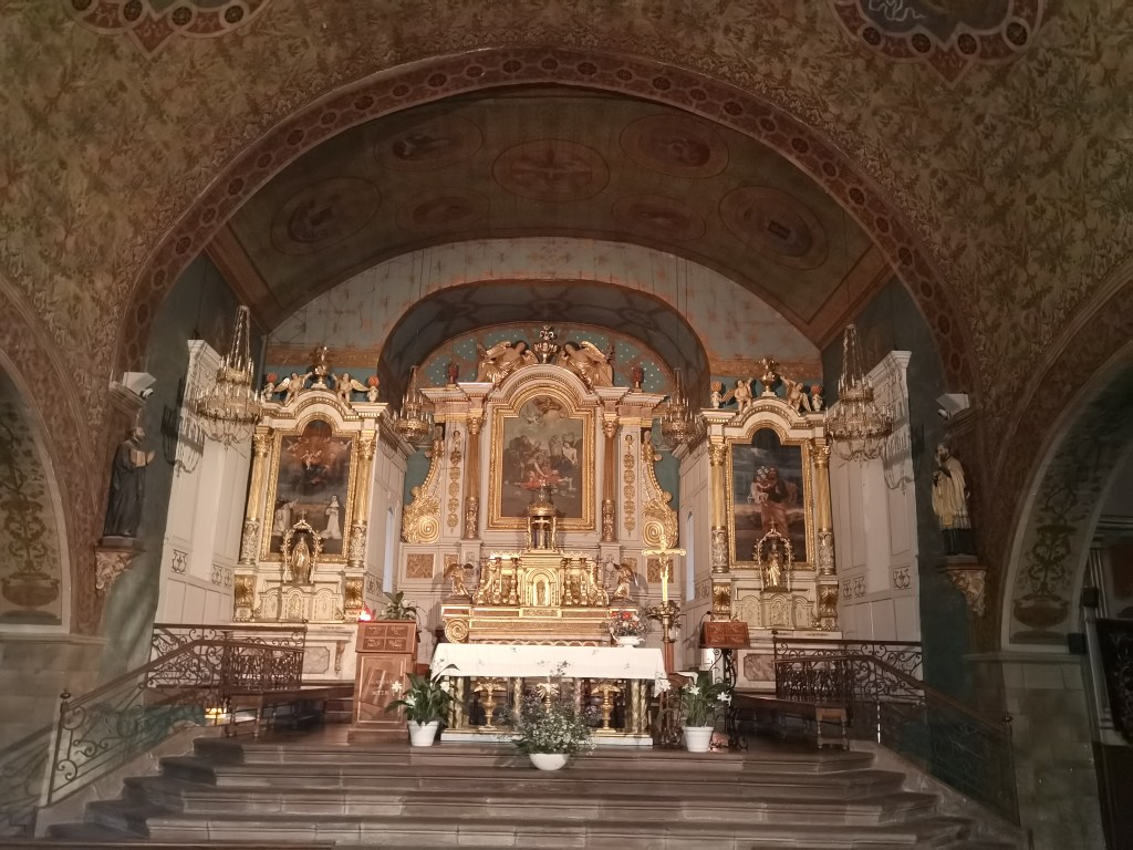
I dropped into the church in St. Etienne on my way. The door was open, so in I went. It is a nice little village church, with some age.
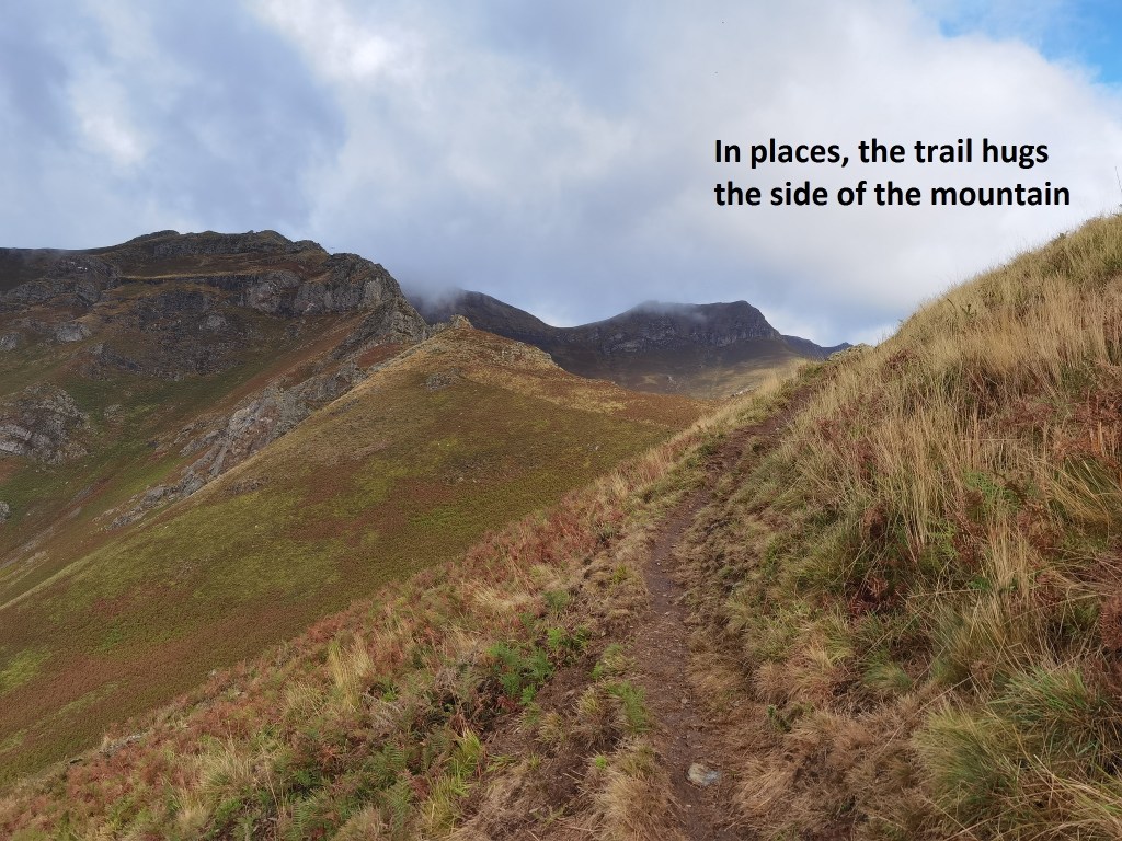
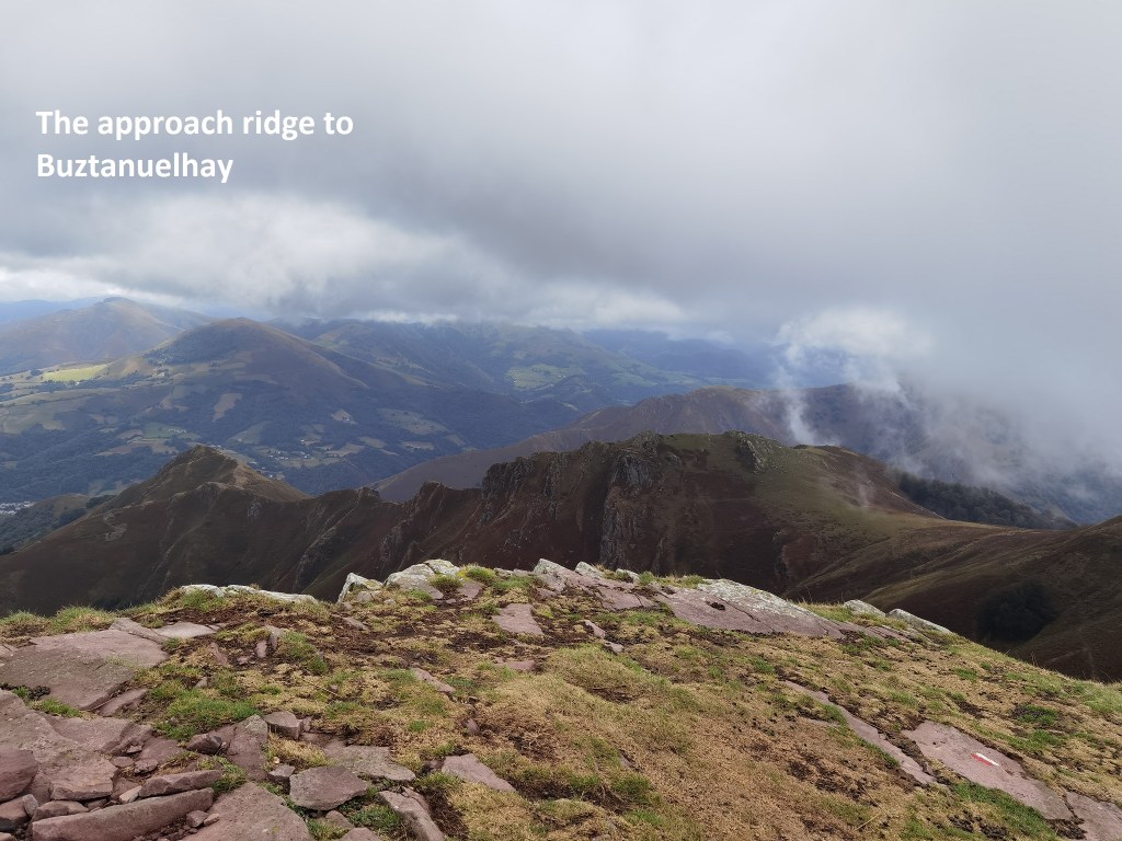
And then it was onwards. The route ascends to the north of the village, at first along the road, and then through the forest. It emerges from the forest to reach the crest of the approach ridge to Buztanzelhay. The path hugs the side of the ridge, first on the western side, and then on the eastern side, as it uses the contours to approach the main ridge.
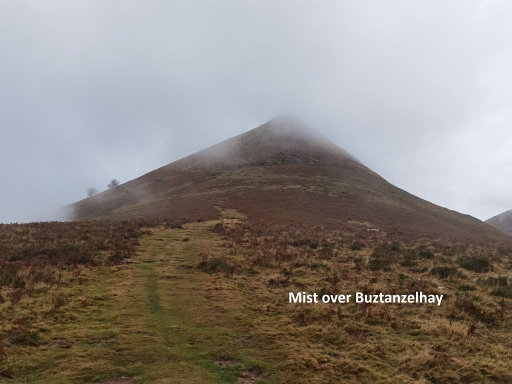
Eventually, the trail ascends to the col de Buztanzelhay, before approaching the mountain itself. The summit was straight ahead, but lightly misted.
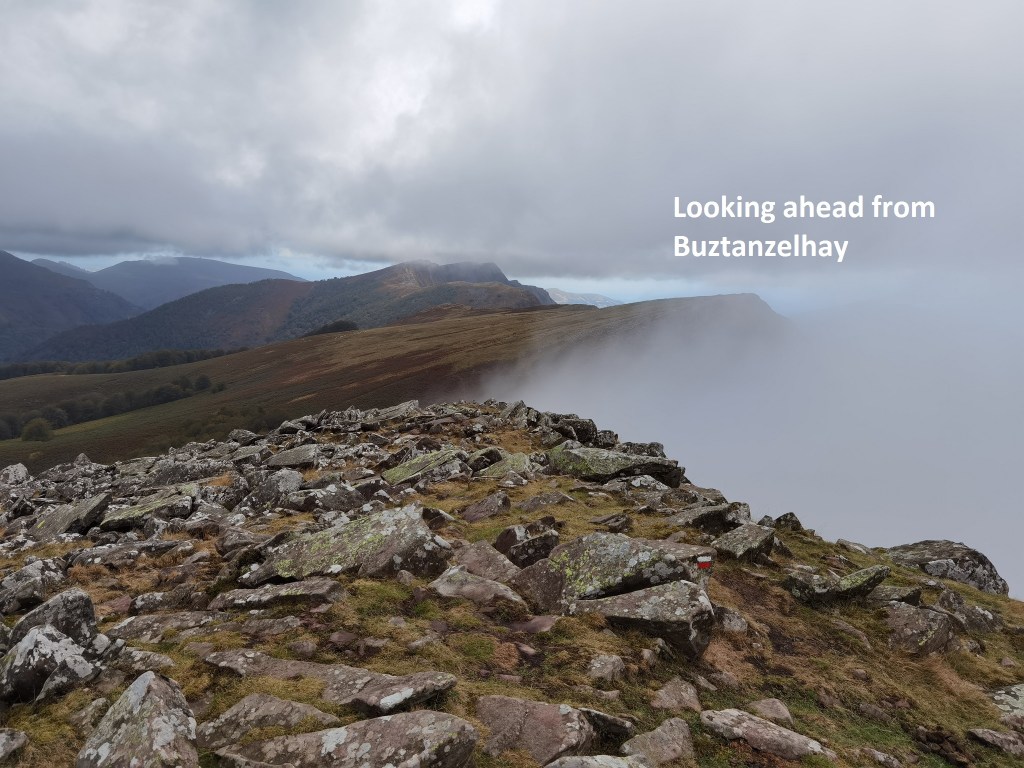
I didn’t delay, but went straight on to the summit. The route avoids going straight at the peak, but veers to the westward side, and then approaches on a more gentle slope for the final stage. And so I reached Buztanzelhay, a summit of 1029m. The route ahead showed swirls of mist here and there. But when I got to the next summit, Astate at 1022,, the mist had cleared, and I could look back at my approach route to Buztanzelhay.
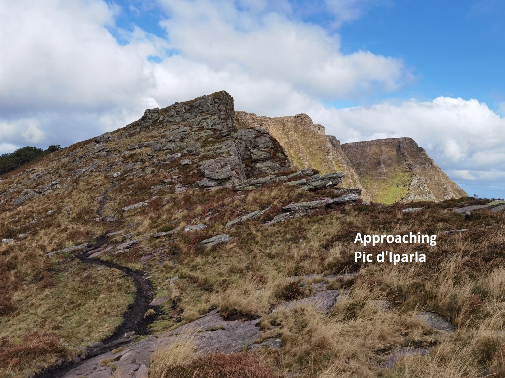
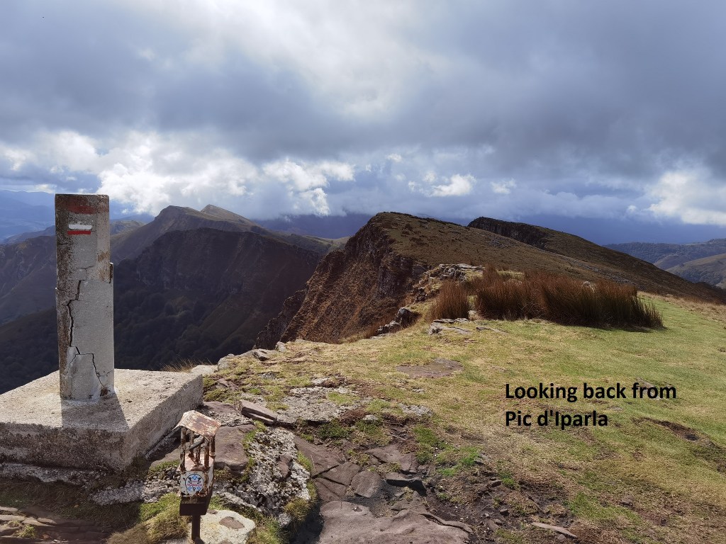
I continued on over the summit of Pic de Tutulia (983m) to reach Pic d’Iperla, which at 1044m was the highest point on the walk. I was rewarded with a magnificent view back over the way I had come.
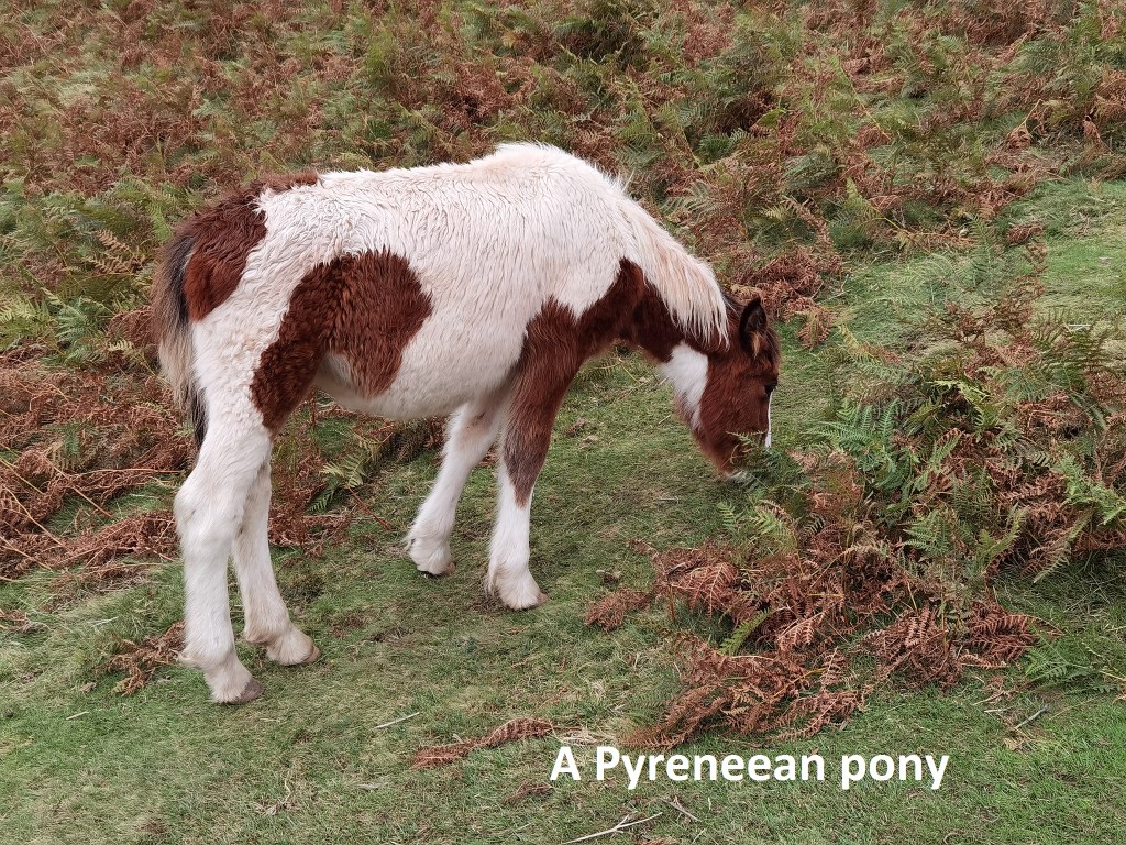
After that, it was downhill all the way. The descent was steep, and hard on my tired legs, but I made it to the village of Bidarray without too much problems. Once there, I booked into a small pension where I am staying the night. But I must draw attention to the fauna of the mountain. Apart from the sheep, which are everywhere, there are ponies on the mountain. These hardy creatures are smaller than their lowland brethren, but they seem to be doing OK as they graze the mountainside.
The signs were right, and the book was wrong. The walk took me almost the full 8 hours and 40 minutes, much more than the guide book had predicted. And my total step count for the day was 42,547.
While this stage of my walk is not strictly speaking a part of the official route from Saint Jean to Santiago, there is something very satisfying about going through the mountains in this way. Moses went to the mountain top to see the promised land, something Martin Luther King alluded to when he outlined his vision, saying “I have been to the top of the mountain, I have seen the promised land.” Going to the mountain tops can be good for the soul.
Tomorrow, another day awaits.
