
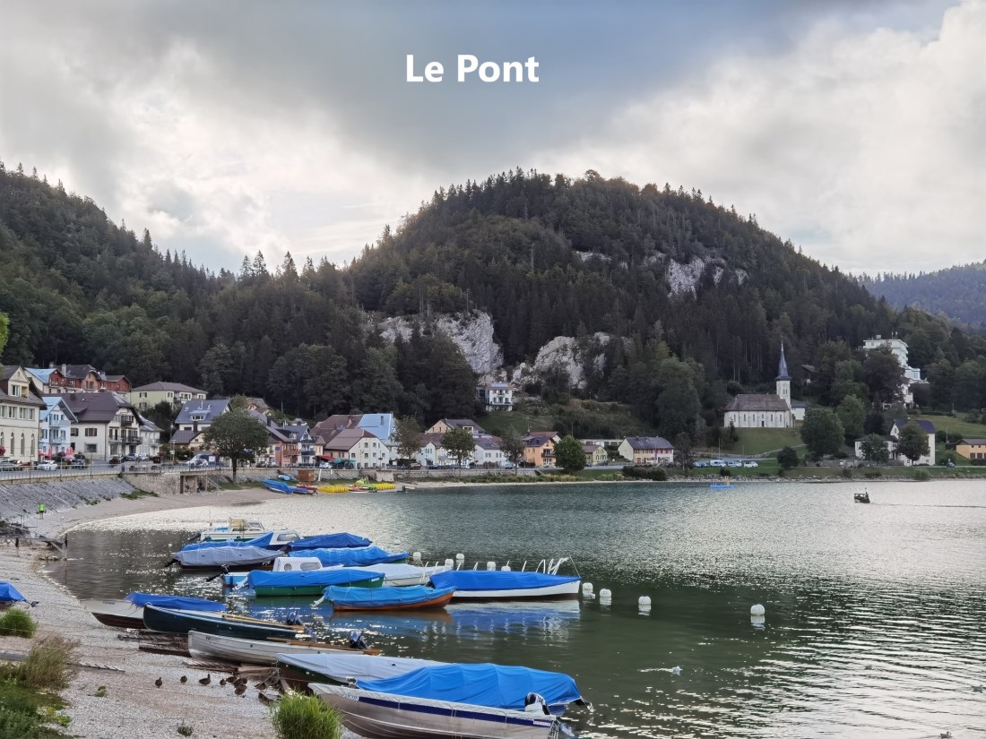
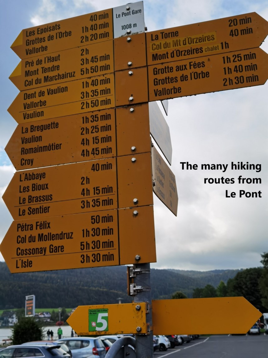
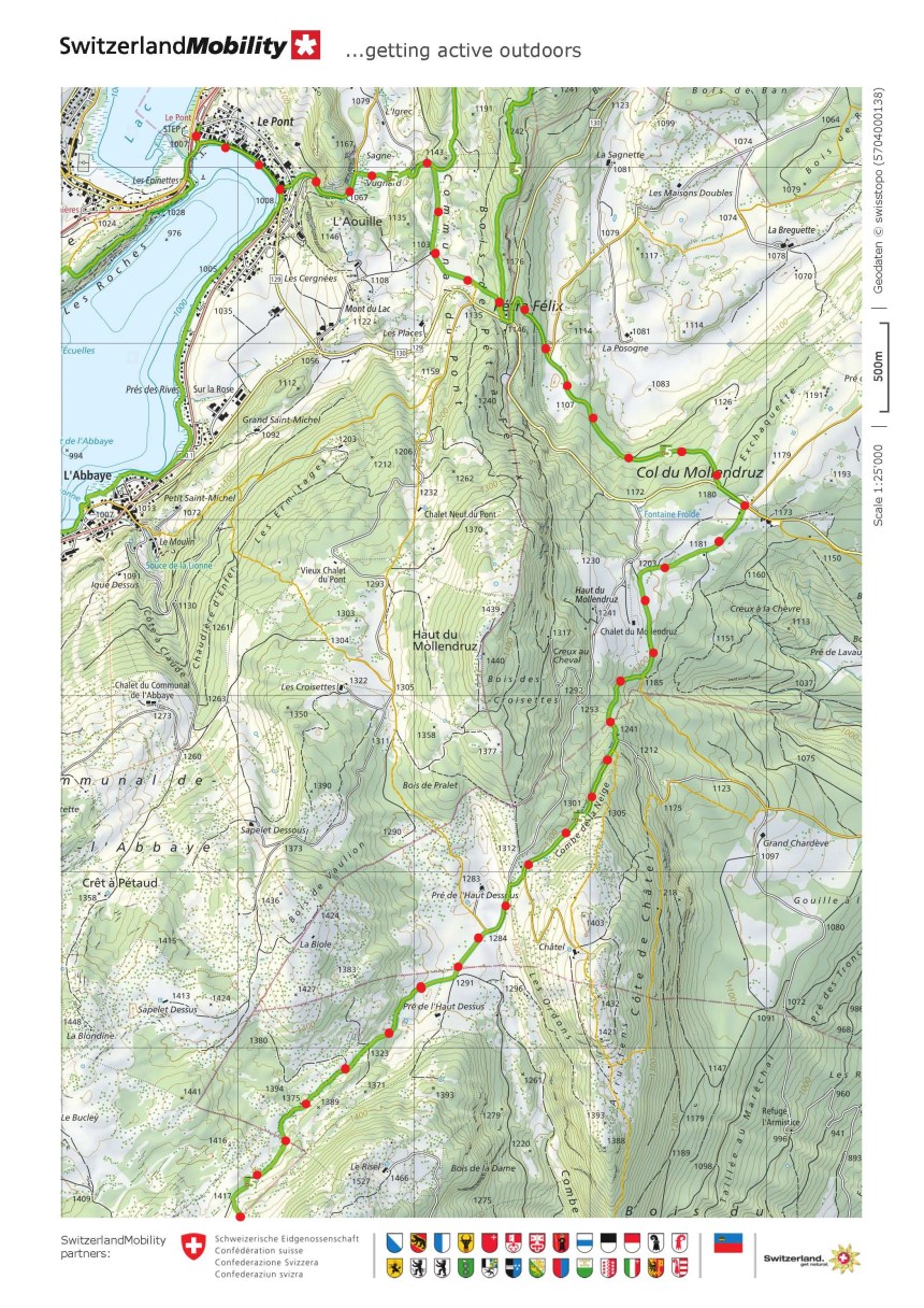
As always on the Jura Höhenweg, this stage starts where the last one ended. I made my way by a combination of trains to Le Pont and started walking. Initially, the route goes back along the way that I had come the last time, through the village and onto the higher ground to the north.
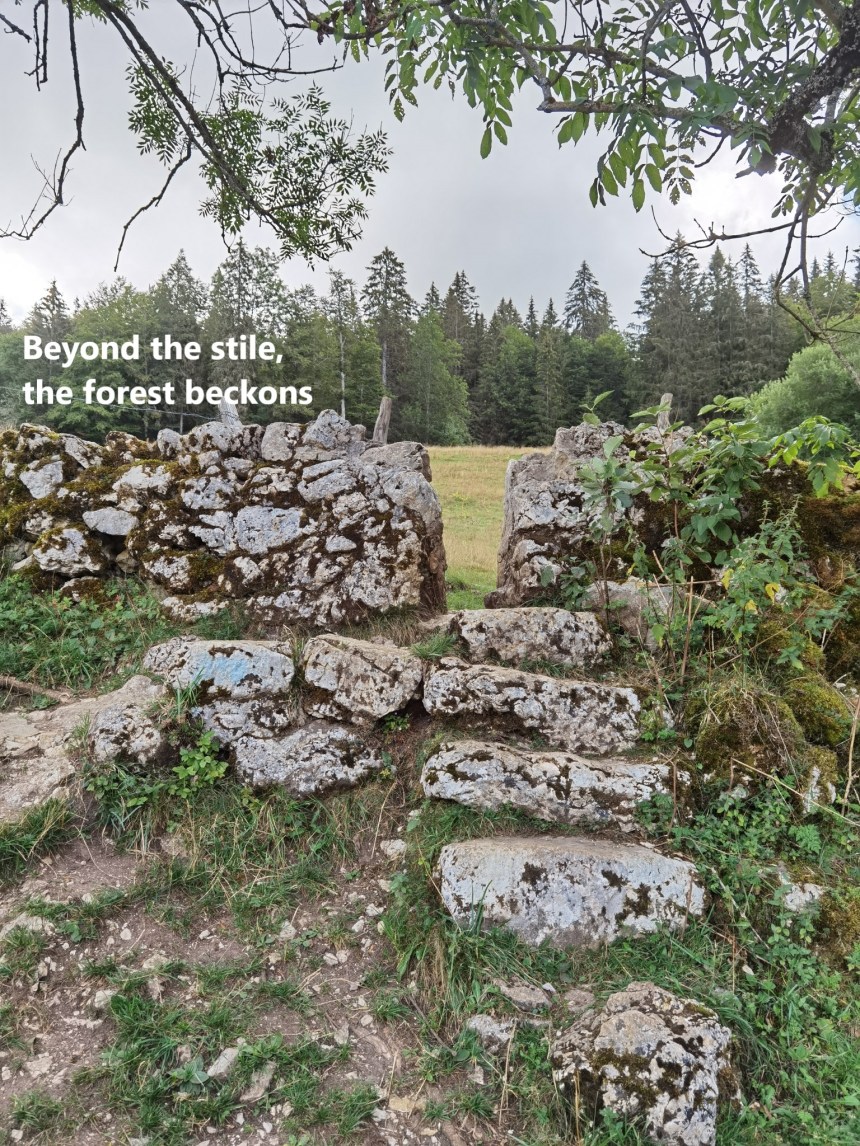
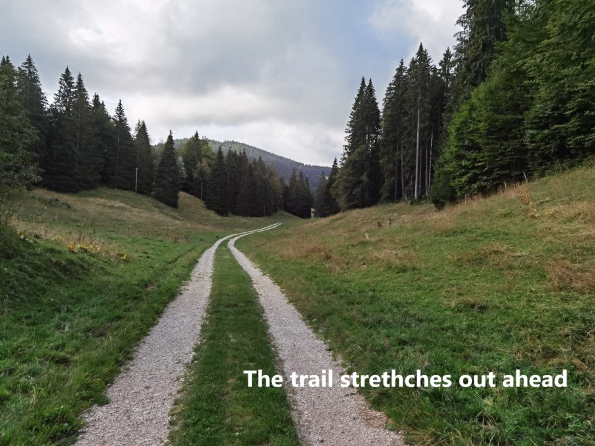
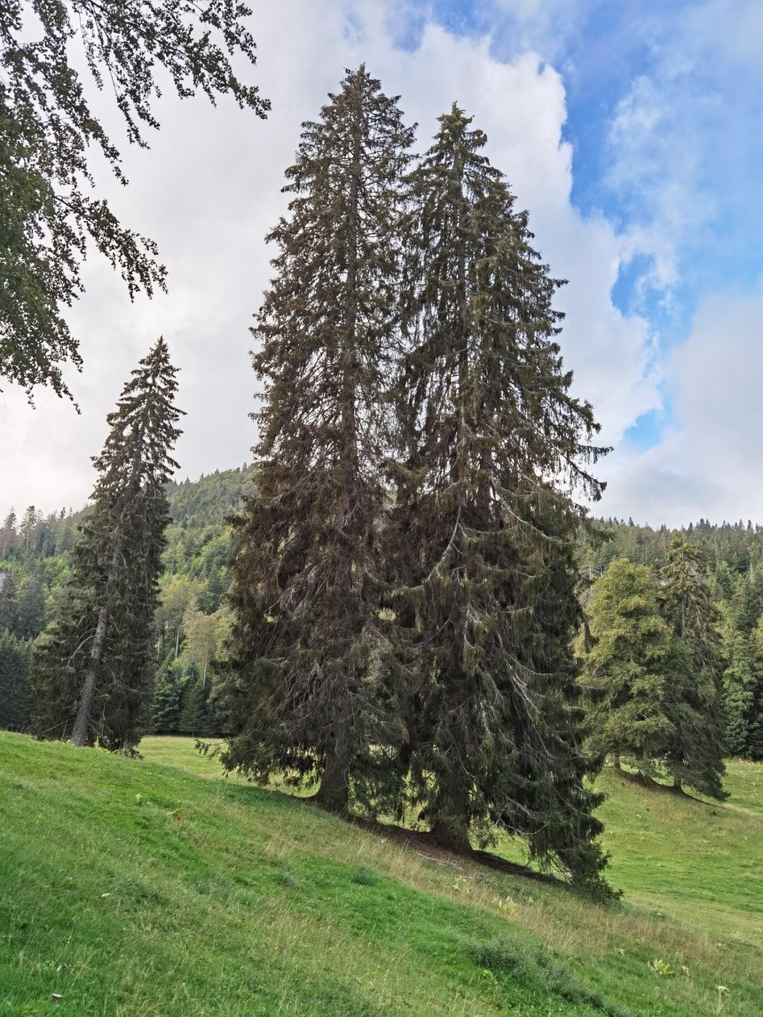
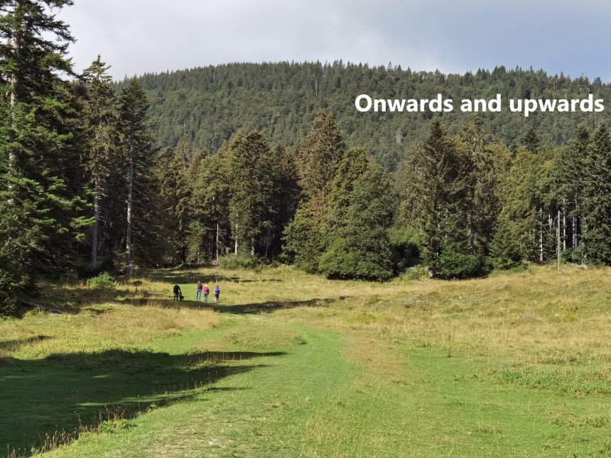
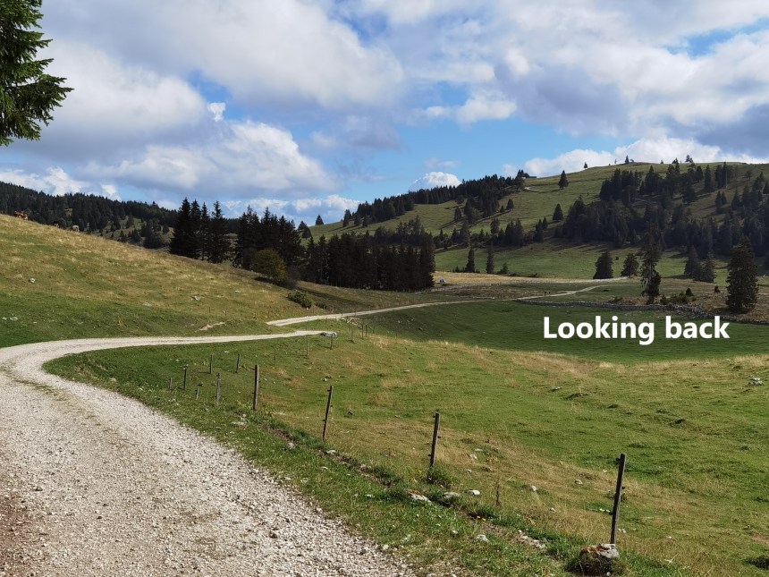
But then I came to a fork, with one branch going on towards the Dent de Vaulion, while the other turned south towards Mont Tendre. In places, the trail seemed to stretch into the distance, almost level, but then I would sometimes look back and find that I had gained some height. Much of the route was through open country, or sparse forest, with specimen trees here and there.

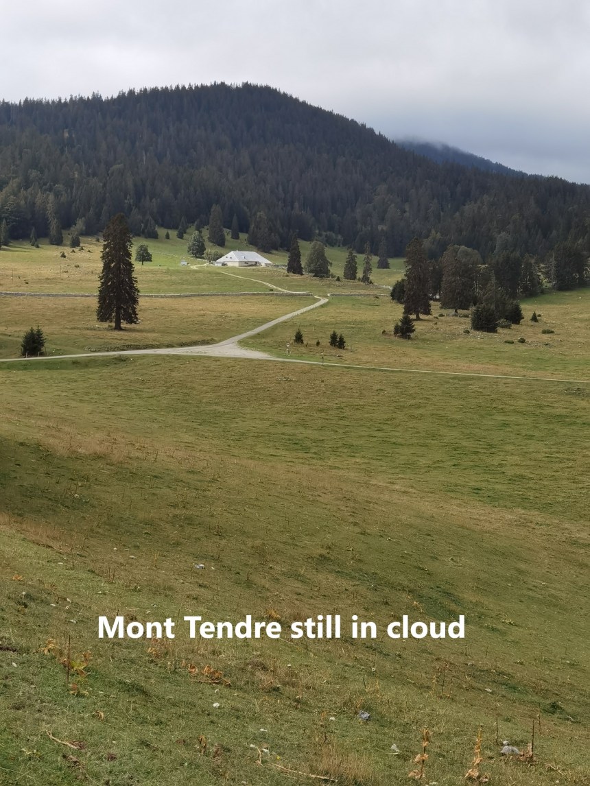
The trail continued to rise, occasionally falling briefly, but almost always gaining height. And so I came to the Col du Mollendruz. The higher ground continued to beckon, on through the forest and along the Combe de la Neige. At Pré de l’Haut Dessus, the higher slopes of Mont Tendre were coming into view, though still shrouded in cloud.
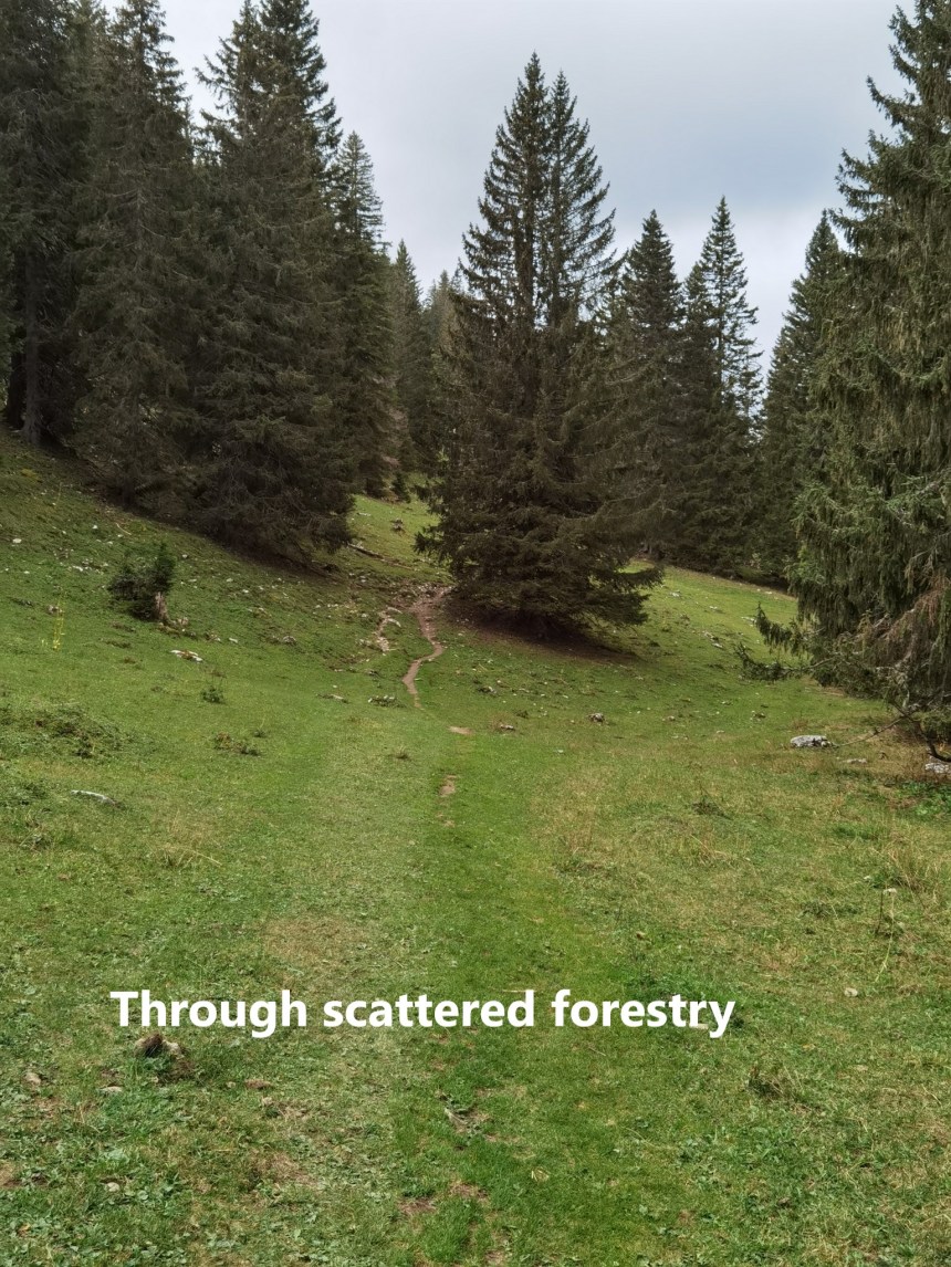
The trail continued on upward. It is a relatively gently ascent, though long. There was another stretch through forestry before finally emerging on the upper slopes
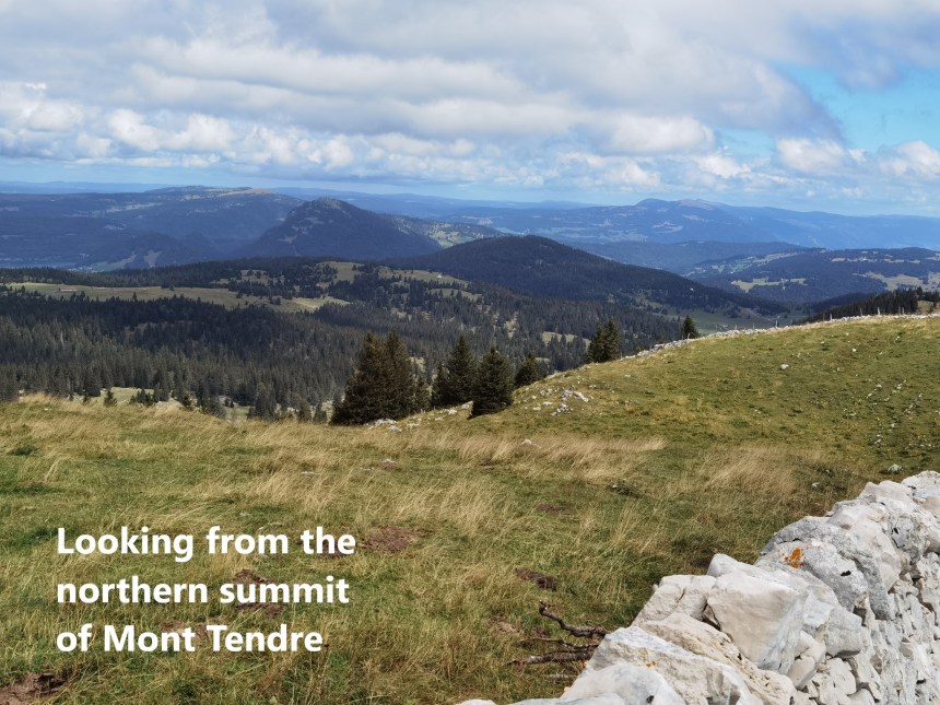
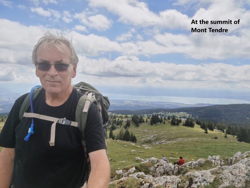
Mont Tendre has three summits: the northern summit at 1644m, the centre summit at 1679m and the southern summit at 1673m. I went first to the northern summit, where I had views back over the terrain I crossed today, and beyond. The Dent de Vaulion was clearly visible, as was Le Suchet, but the Aiguilles de Beaulme was hidden. To the southeast, Lake Geneva was clearly visible.
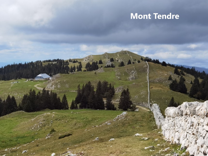
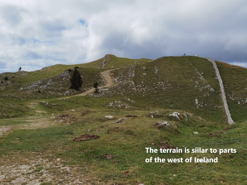
And then it was on to the main peak. The terrain in final stages was amazingly reminiscent of parts of the northwest of Ireland: stunted trees, drystone walls, and limestone rock too close to the surface of the ground. And so I came to the main summit.

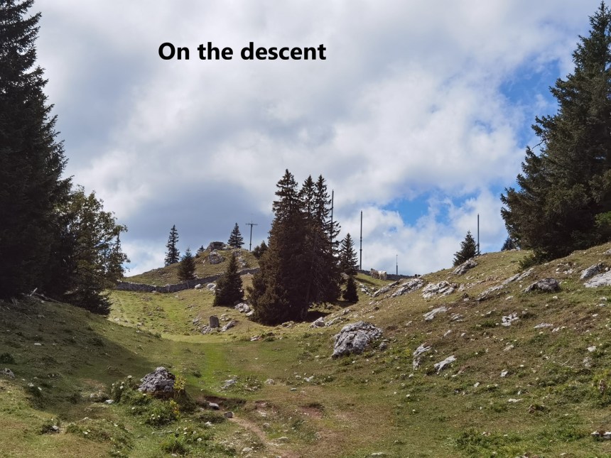
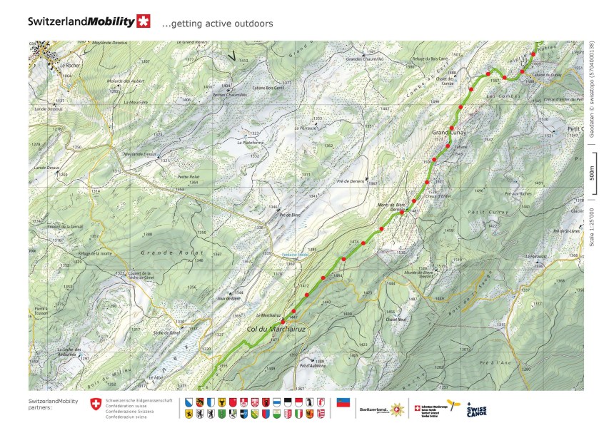
Once I had paused long enough to take a few photos, I was on my way again. The route descended rapidly at first. But then it would go up and down, mostly down, but the upward stretches were tiring at this stage. At last I came to the Col de la Marchairuz.
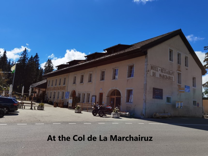
Buses from the col are infrequent, and I had time for a beer before catching the bus, and then a succession of trains back to Basel. This section was not an epic like the one before, but with Mont tendre being the highest summit in the Swiss Jura, it was nevertheless an important part of the overall effort for the Jura Höhenweg.
My step count for the day was 37,746.


Congrats for another successful hiking experience as well as sharing panoramic views along the trails and stretches of Jura Hohenweg in this blog of yours. Keep on walking and writing.
LikeLike