
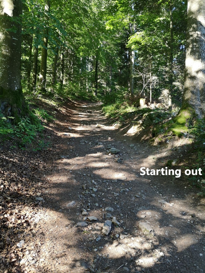
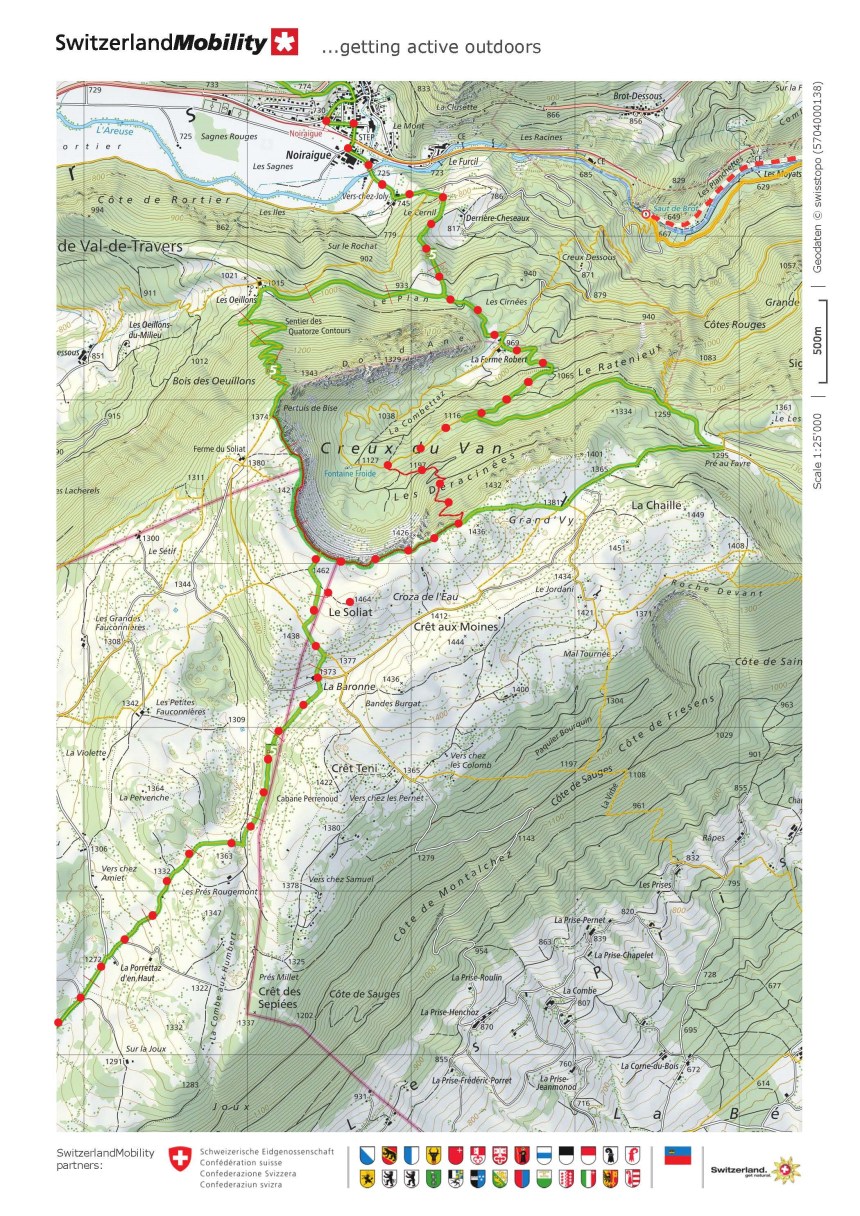
This next stretch of the Jura Höhenweg is one of the longest, and longer than those I had done up to now. The area around Noiraigue is popular, and I was one of about 30 walkers getting off the train there. I set out quickly, and was soon into the woods.
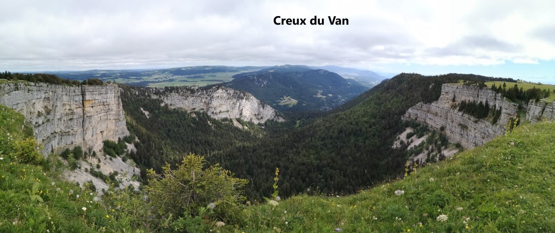
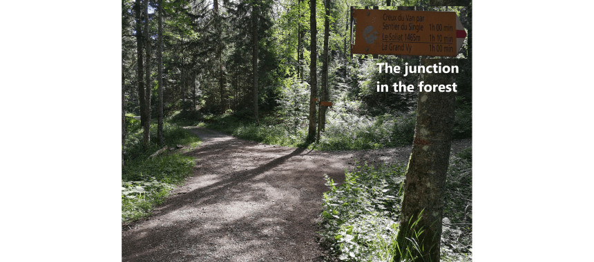
Coming to a junction, I had a choice to make as can be seen on the maps below. The official Jura Höhenweg goes off to the right, and ascends to the Creux du Van on a zig-zag route. I had chosen to take a slightly different route. The Creux du Van is a massive amphitheatre of rock, and my route would take me into the centre of it. I was hoping for great views of the surrounding rock walls, but the centre of the Creux du Van is heavily forested, and the trees only allowed occasional glimpses of the cliffs around me. So I was actually glad to come to the junction in the woods from where a route known as the Sentier du Single would take me to the top of the cliffs.
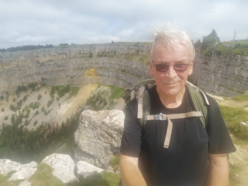
The Sentier du Single is a narrow path and steep. Because it is marked in red on the map, and with red and white on the signposts, I was expecting some technical difficulty, but there was none. It is just steep, but with reasonable care and attention, by no means dangerous. I reached the southern edge of the cirque and the magnificent panorama was spread out below me.

I have no idea how the Creux du Van was formed, but Wikipedia says that it is 1400m wide and 150m deep. It provides an attraction for walkers, many of whom simply do the circuit of the area, starting at Noiraigue and returning there. I was privileged to see a Steinbock or Ibex, with its calf, in the scree below the rim. They were too far away for a photograph, but just seeing them was enough. The Steinbock were introduced in 1965, and at present, there are about twenty in the area.
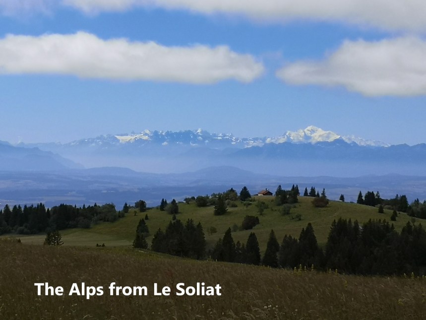
From the edge of the Creux du Van, my route went south, with just a very short detour to the summit of Le Soliat, the mountain that the Cruex du Van is cut out of. From there, I had a clear view south to the Alps.
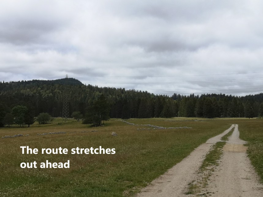
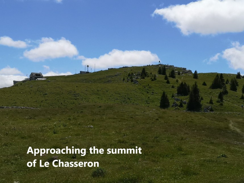
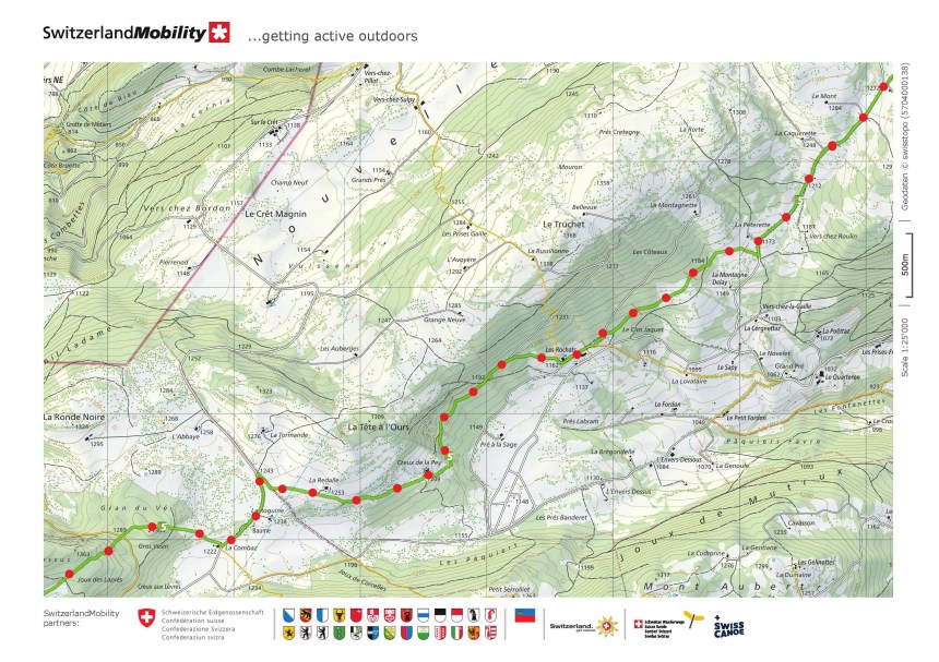
After that the route descends, slowly but steadily. From Le Soliat at 1464m, the descent is over several kilometres to reach Les Rochats at 1162m, a descent of 300m. From there, it begins to rise again, quite slowly. This stretch of the route is not the most interesting. It goes through forests and fields, until eventually Le Chasseron comes into view.
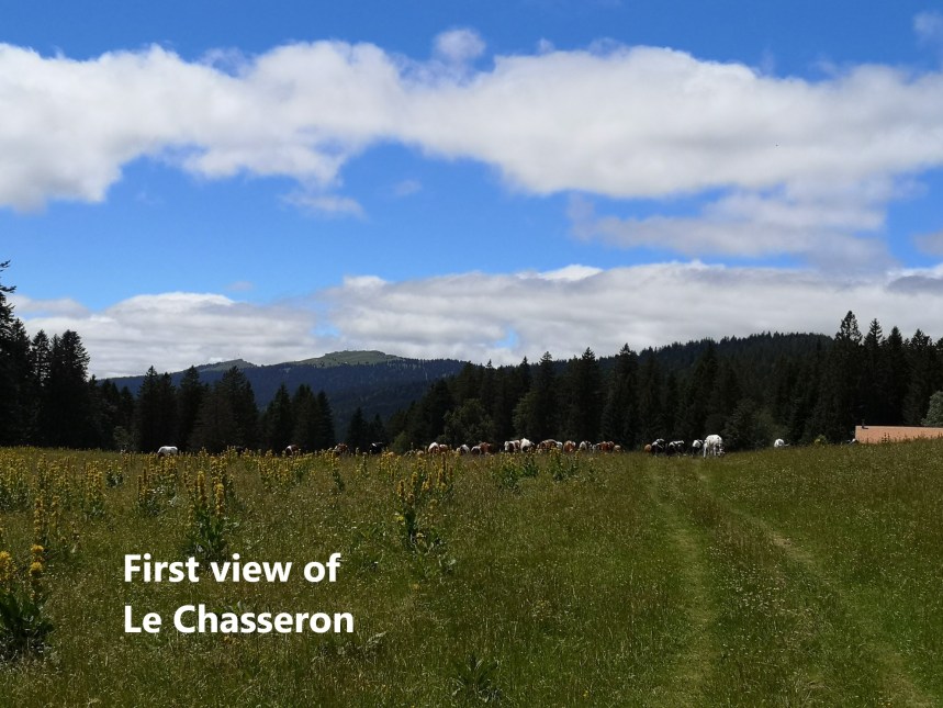
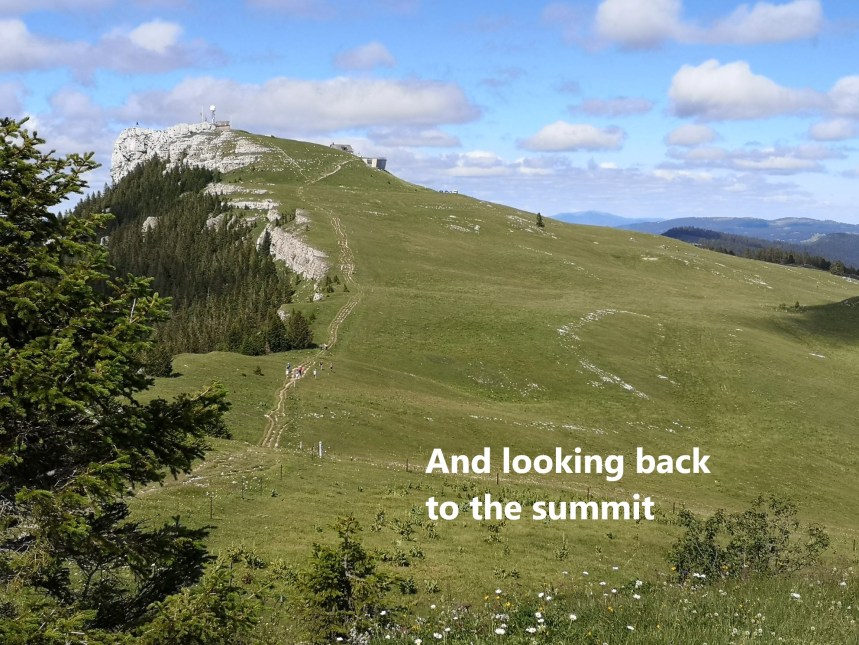
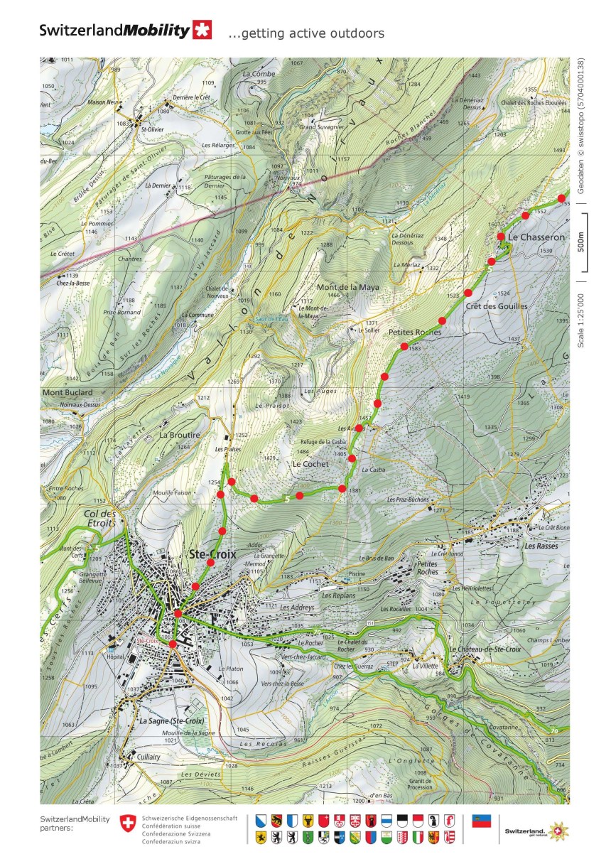
By now, the distance was taking its effect, and I was slow in the final ascent to Le Chasseron, but it was worth it. At 1607m, Le Chasseron is level with the similarly named Chasseral that I reached earlier in these walks, but is much more remote. The summit provides great views all around.
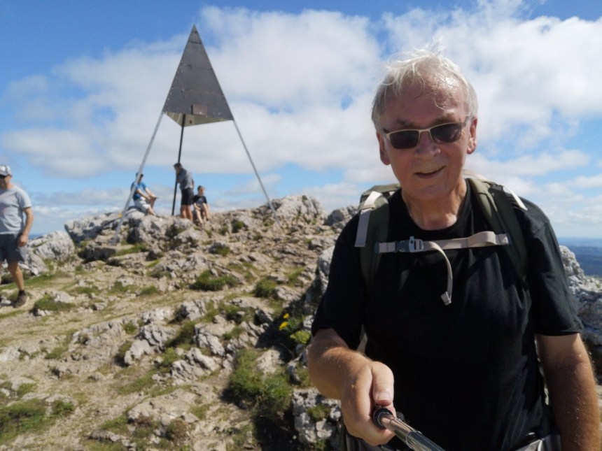
I even had time for just one beer in the little bar below the summit. Walking in the Swiss summer sunshine generates a thirst. And then it was onwards. There is a sub peak of Petite Roches at 1583m, and after that it was descent all the way to Sainte Croix. There were engineering works on the railway line, but a bus was there to start my journey back to Basel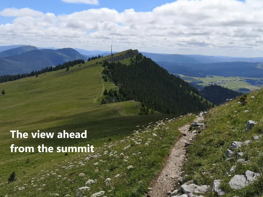
As I mentioned, at 32 km, this was the longest stretch of the Jura Höhenweg so far, and quite tiring, but worth every step of the way. My total step count for the day was 57800.


Happy to see your posts. Great photos! Wendy
LikeLike
Very nice posts with some nice photos.
The section from Noiraigue to Sainte-Croix looks very nice
Thanks for sharing
LikeLike