
It is some time since I last wrote here, and although my walking has continued as in the weeks and months before, I have to admit that my writing has not kept pace. But now, it is time to catch up, even if only so that I do not get too far behind.
For much of June, the weather here in the north-west of Switzerland was quite irregular: occasional dry days, some days with severe rain, and some days with a mixture of sunshine and showers. But coming up to Midsummer’s Day, it looked like the weather would hold fair, and so I set out to walk another stretch of the Jura Höhenweg. I continue to use that name for the route, even though my wanderings have brought me solidly into the French-speaking part of the country, where it is known as the Chemin des Cretes.
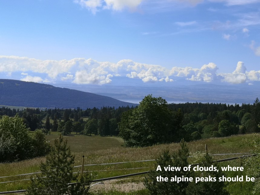
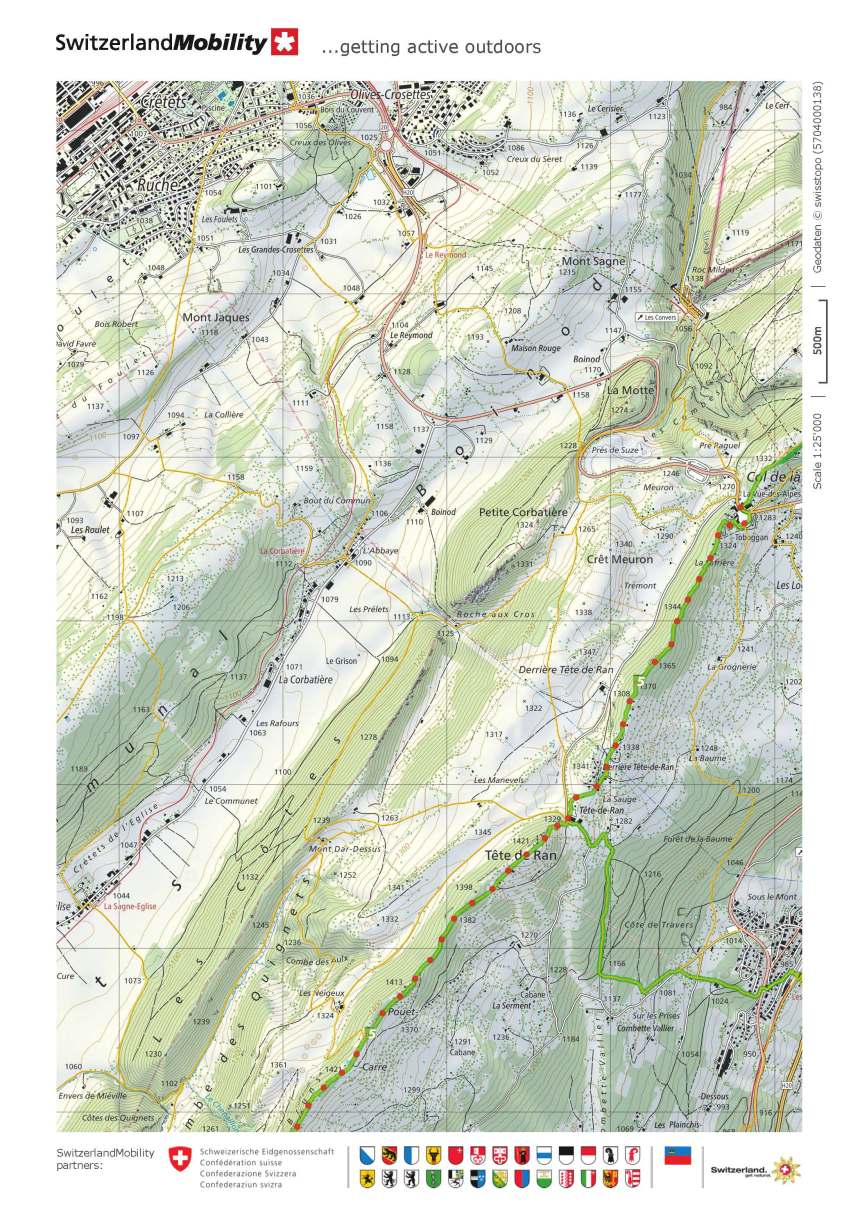
The last piece that I had written was of a stretch of the route finishing at the Vue des Alps. I had to walk down into Chaux de Fonds as the bus service was not working at that time. That was in May, but with the arrival of June, the bus service resumed, and so I was able to get directly to Vue des Alps without a long pre-walk. The location did not live up to its name on that occasion, with only clouds visible where the alpine peaks should have been. But I set off anyway, and was soon on my way to Tête de Ran.
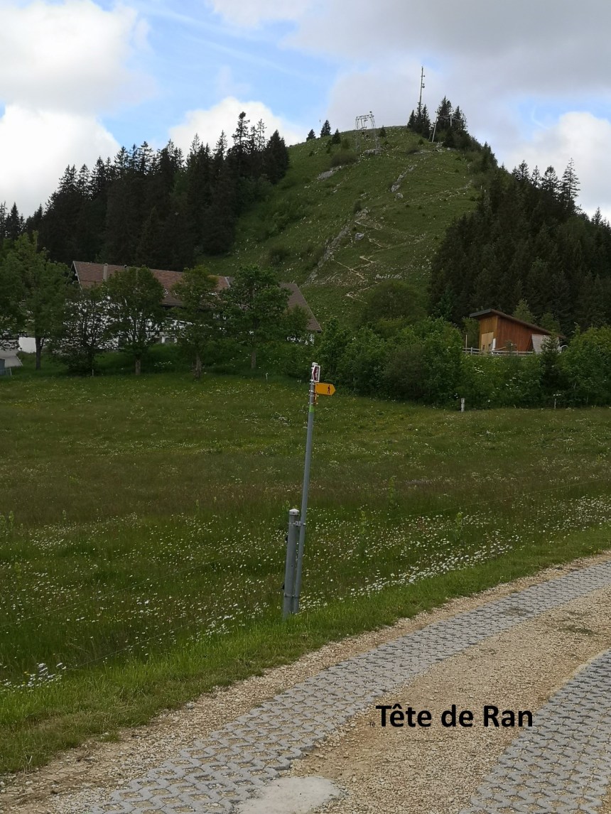
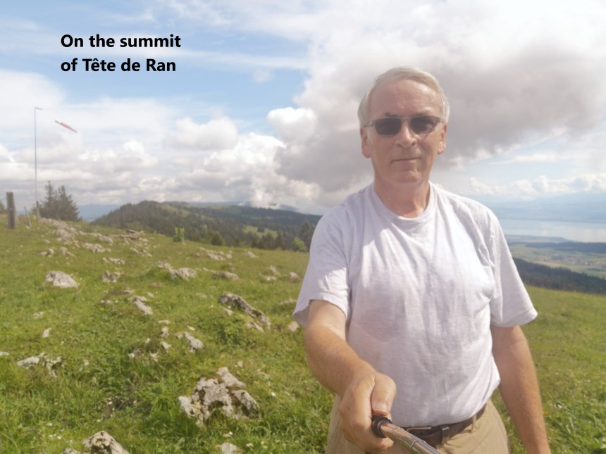
Tête de Ran, at 1421m above sea level is just above the treeline. I was still fresh, and the weather cool, so I made good time. It is a place worth pausing at, with excellent views all around.
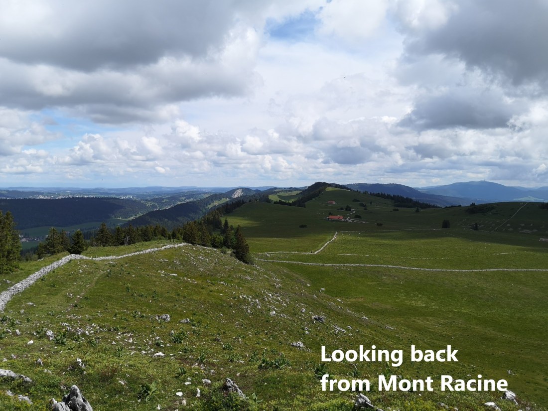
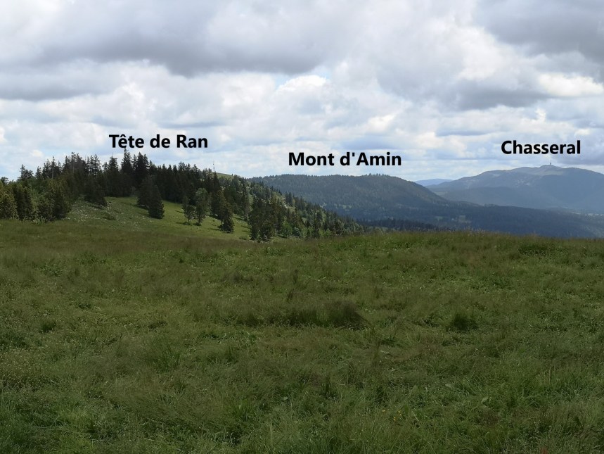
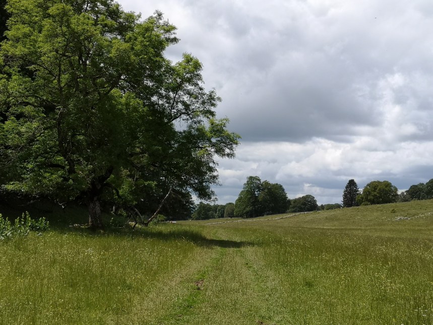
From Tête de Ran, the route goes on to the southwest, dipping only slightly below 1400m. Looking back along the route, it was possible to see the summits of previous days’ walks as well, back as far as Chasseral. It was not long before Mont Racine came into view. One of the features of this upland terrain is that it provides summer pasture for cows. In places the sound of cowbells provided a musical accompaniment to my walk.
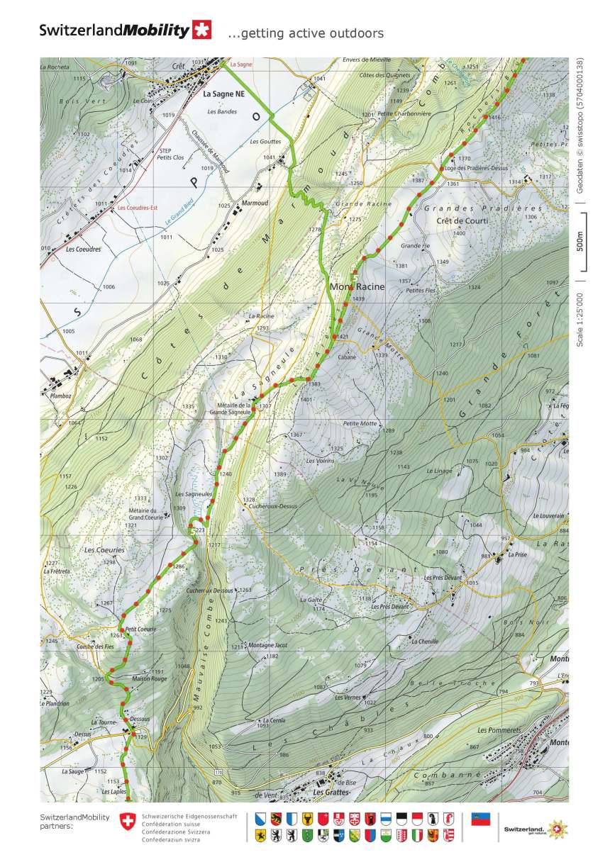
The landscape close to Mont Racine, with its dry-stone walls continues to remind me of the west of Ireland. I guess it must have been a universal approach by the early settlers in both countries, that when trying to subdue an area strewn with rocks, the logical thing to do was to collect those rocks into boundary walls.
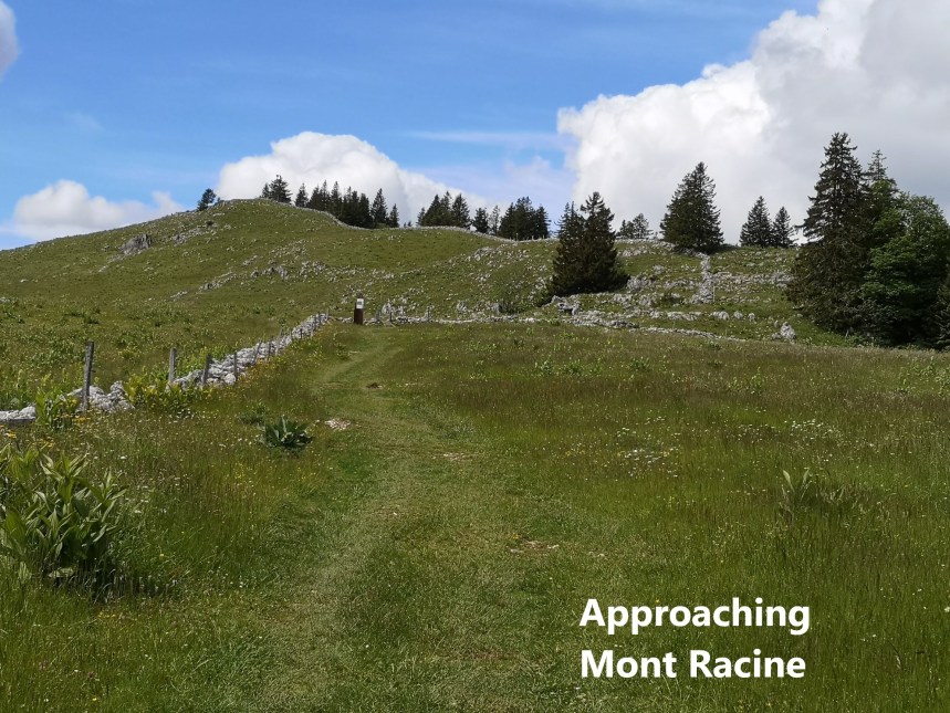
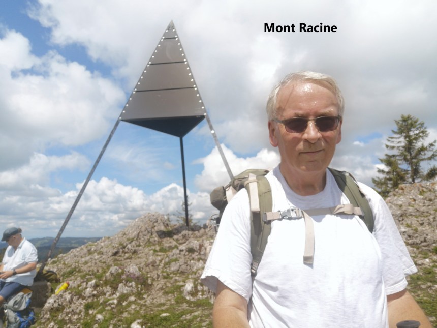
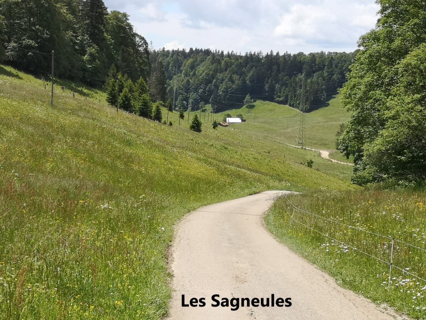
Mont Racine, at 1439m, is the highest point on this stretch of the walk. From there, there is a long descent into the valley of Les Sagneules, eventually reaching Dessous, at 1129m, a drop of 300m.
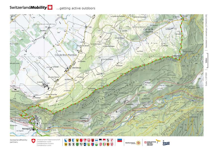
And from there, it was upwards again to Tablettes, where the Noiraigue valley came into view. The route is almost flat along the edge of the valley, heading westwards towards Noiraigue itself.
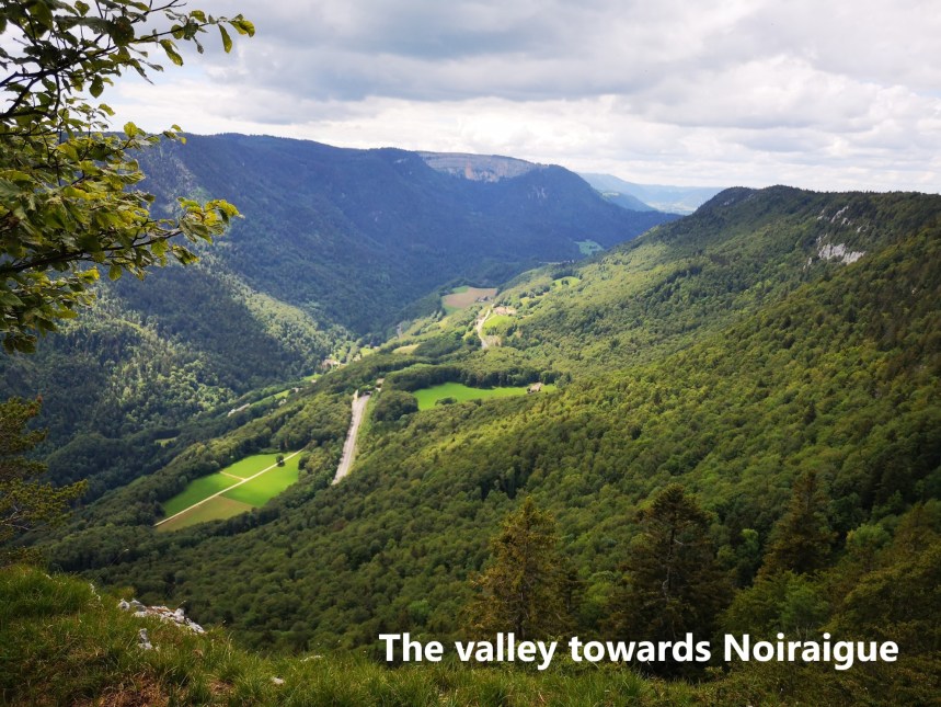
To the south, the Creux de Van was visible, and that would be the feature of the next stage of the walk. But for today, I was content just to continue along the valley edge before descending to Noiraigue itself. There was just time for a refreshing beer and a look back at the cliffs before taking the train back to Basel.
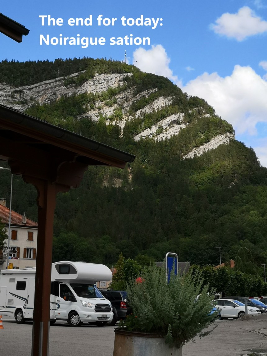
It was a good day’s walk, and my total step count for the day was 44,489

Everything is amazing! Amazing views, amazing day, a perfect walk for the walking man.
LikeLike