
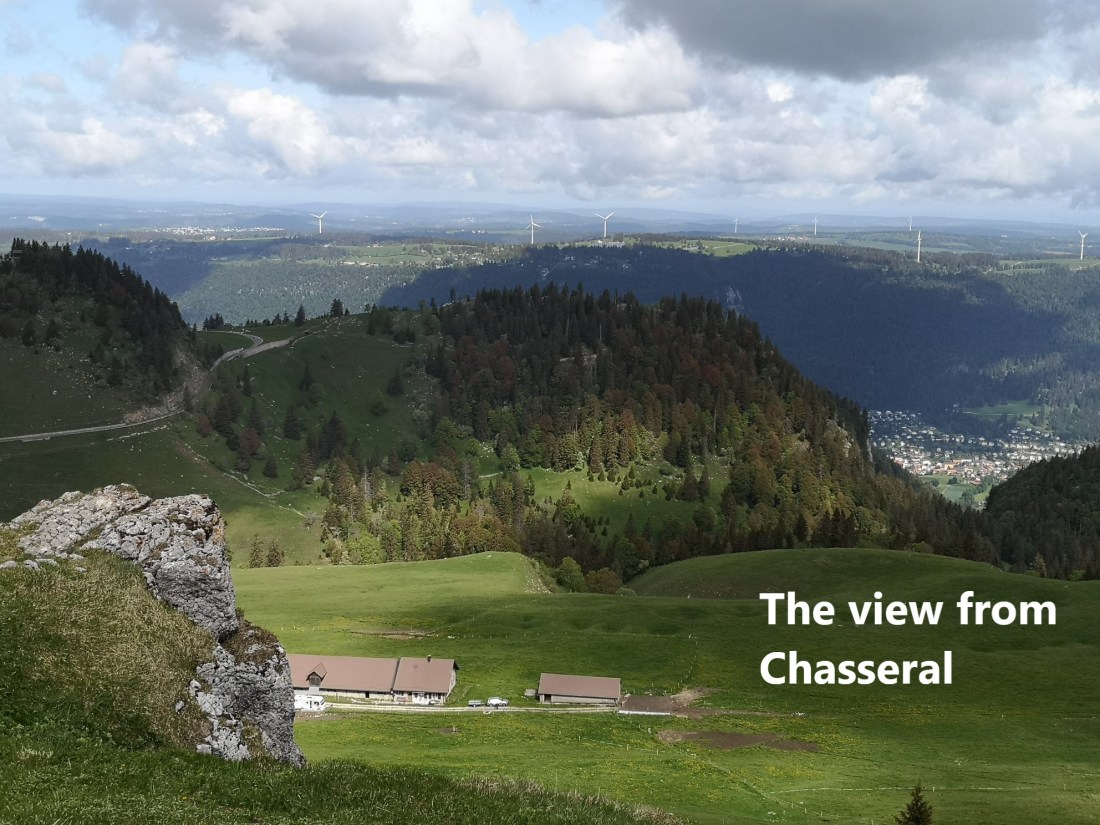
A week ago, I undertook another stage of the Jura Höhenweg. I had finished last time at Chasseral, so that had to be where I would start. But there was a difference. The last time, when I had finished at Chasseral, I had to descent to the village of Nods to get the bus for my journey back to Basel. But now, with the gradual opening up of the country from Covid-19, the bus service to Chasseral was operating again. It is an interesting service, leaving the little village of St. Imier and ascending along narrow roads with hairpin bends to the summit. There were other walkers on the bus, indeed walkers seemed to be the only passengers. The bus left everyone at the hotel just below the summit, precisely where I finished last time, and I was ready to start my walk.
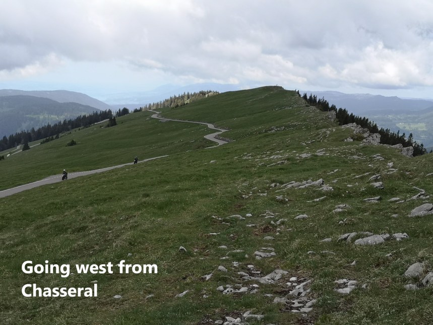
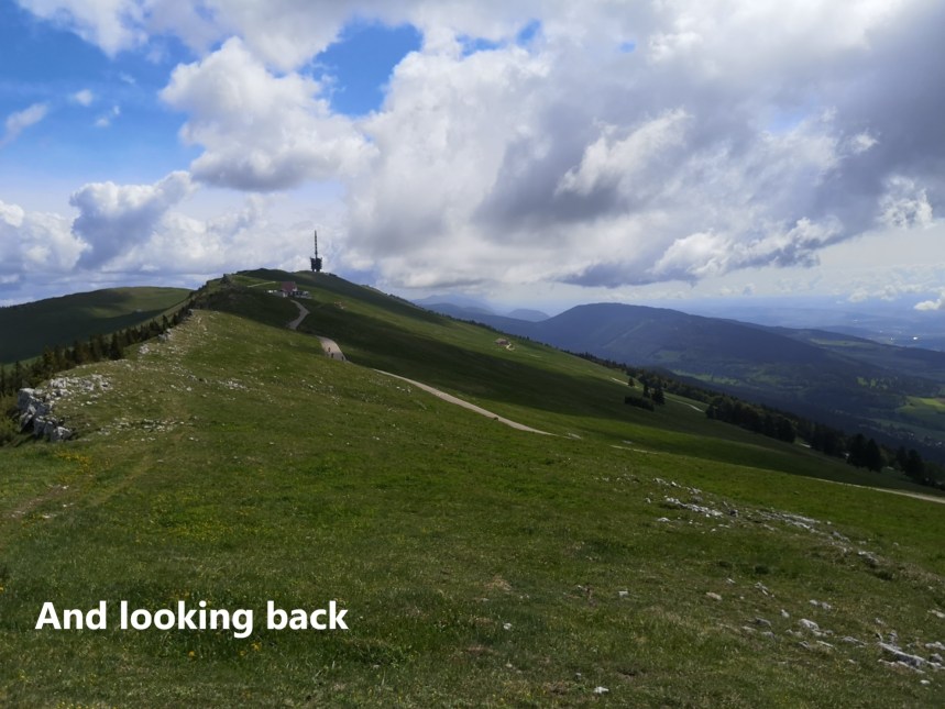
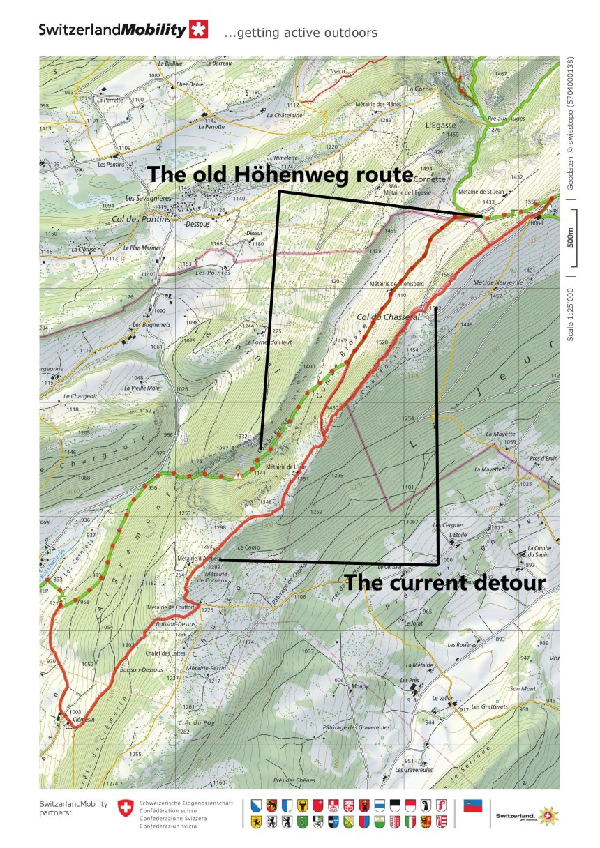
The old route of the Höhenweg descended quickly from the summit and went through the valley below. However, there was been some storm damage on that route, so there is currently a detour. In some ways the detour is better than the original because it keeps to the higher ground. And that is the route that I followed.
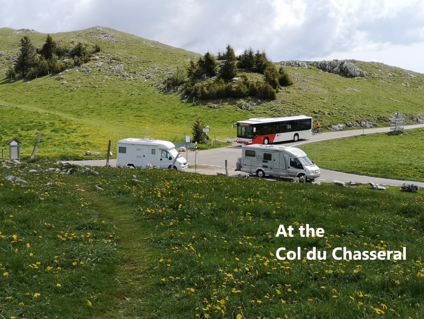
The route goes westwards from the summit along the crest of the ridge, and it soon brought me to the Col du Chasseral, in time to meet the bus on its way back to St. Imier. The rock is limestone, with just a light layer of soil on top, just enough to support the grass and flowers that bloom at this time of year. It is somehow strangely reminiscent of parts of the west of Ireland.
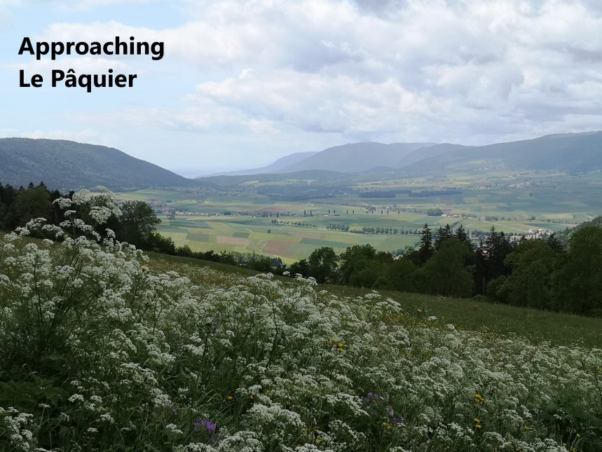
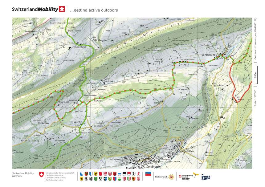
The route continues through a mixture of limestone escarpment and forestry, sometimes ascending, but generally descending until it reaches Clémesin. Then it turns right and continues descending to the village of Le Pâquier. At the edge of the village, there was a field of cows quietly grazing, their bells making soft noises as they ate.
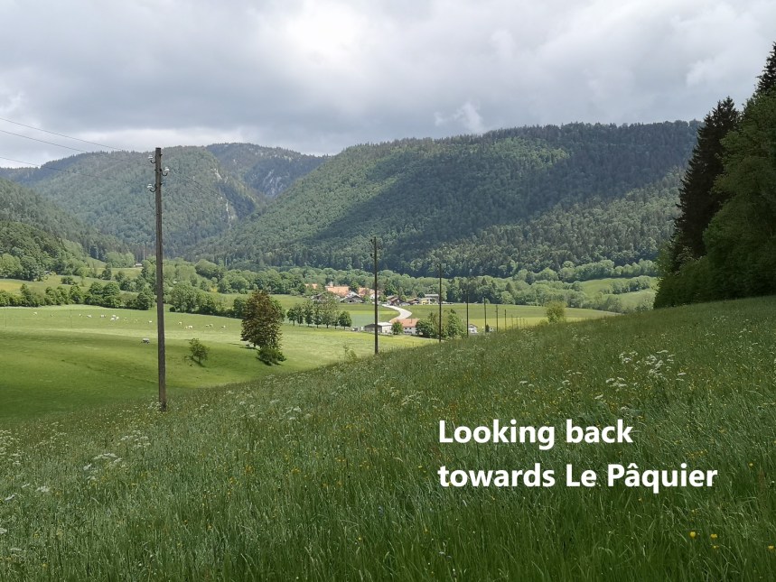
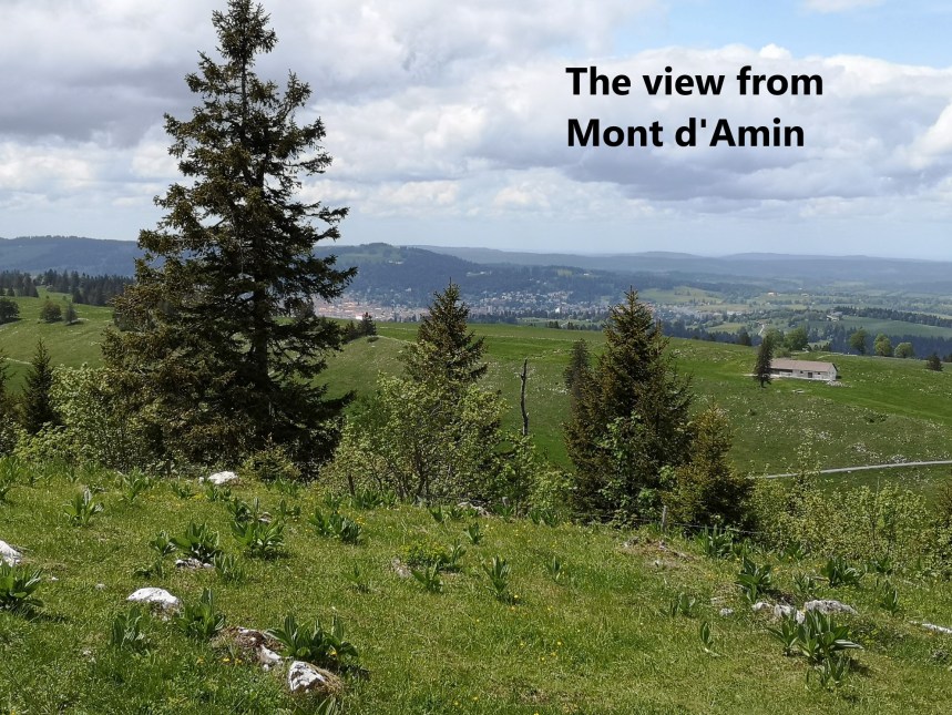
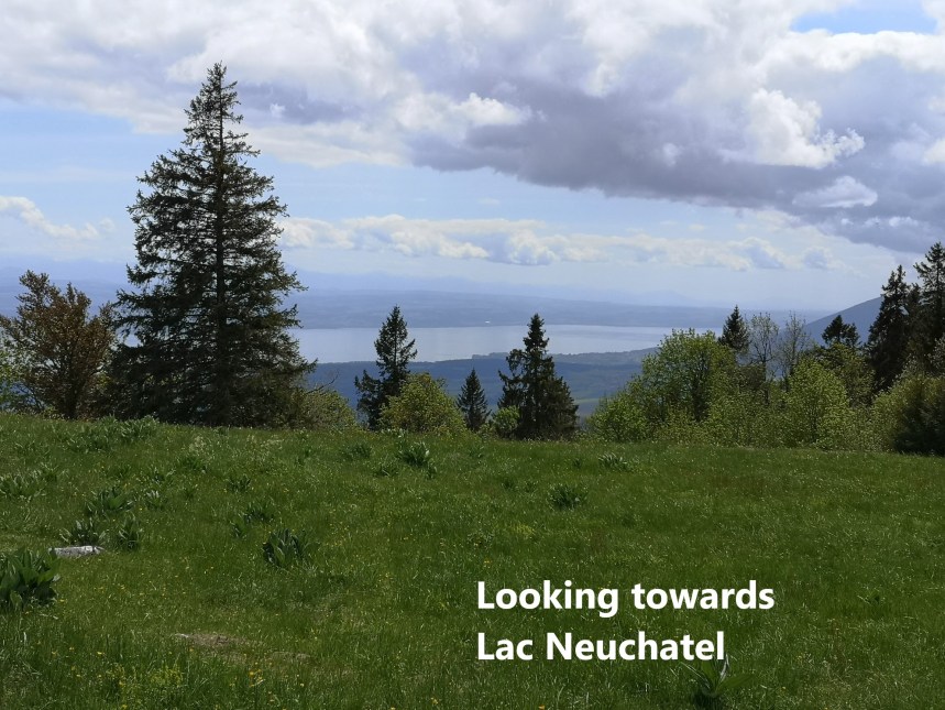
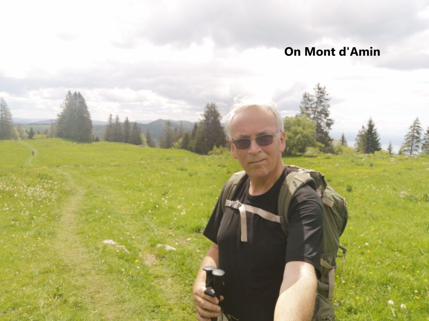
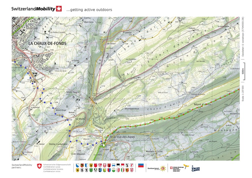
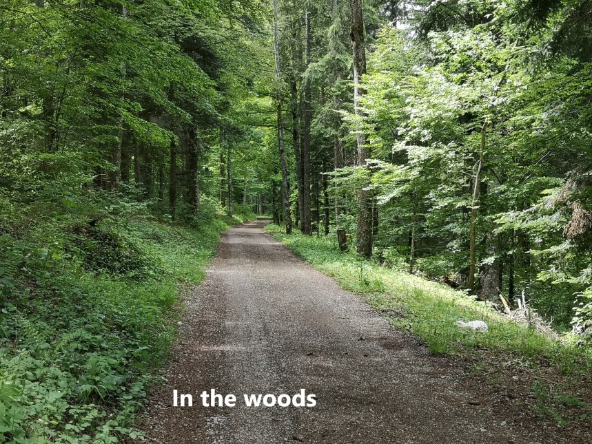 Just outside Le Pâquier is the lowest point of the walk, at 870m. From there it is a stead ascent upwards. At first, the ascent is steep, but once it enters into the forest, the route levels off, at one stage only rising by two metres in a distance of a kilometre. But after turning to the right, it goes up quickly, ascending 120 metres in less than half a kilometre. Once onto the ridge, the ascent is gradual until it reaches Mont d’Amin. At 1416 metres, Mont d’Amin is the highest point on the walk. It allows good views to north and south. In the distance to the north-west, I could see La Chaux de Fonds, my destination for the day.
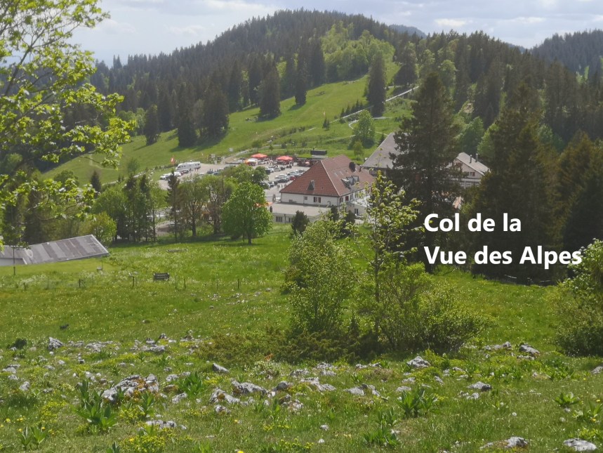
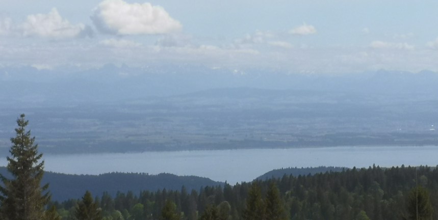
 From Mont d’Amin, it was a steady descent to the Col de la Vue des Alpes. And that location did not disappoint. Sure enough, the Alps are clearly visible, as distant line on the horizon, capped in snow in places.
There is not a regular bus service to the Col de la Vue des Alpes, so I had to walk to La Chaux de Fonds. All in all a good day’s walk.
Along the way, I saw many interesting flowers. I can recognise the European orchids which grown well in this combination of dry soil and limestone. There were others that I could not recognise, though I would like to be able to.


And the total step count was 45, 393.

With pandemic or none, the road to tread for the Walking Man continues to stretch, seemingly limitless despite boundaries, numerous forests, ridges, valleys, and upward or downward slopes to explore. The spectacular views, the Alps, the colorful wild flowers are just added bonus. The total number of footsteps gained from this conquest is what really matters. Kudos, you did it again.
LikeLike