
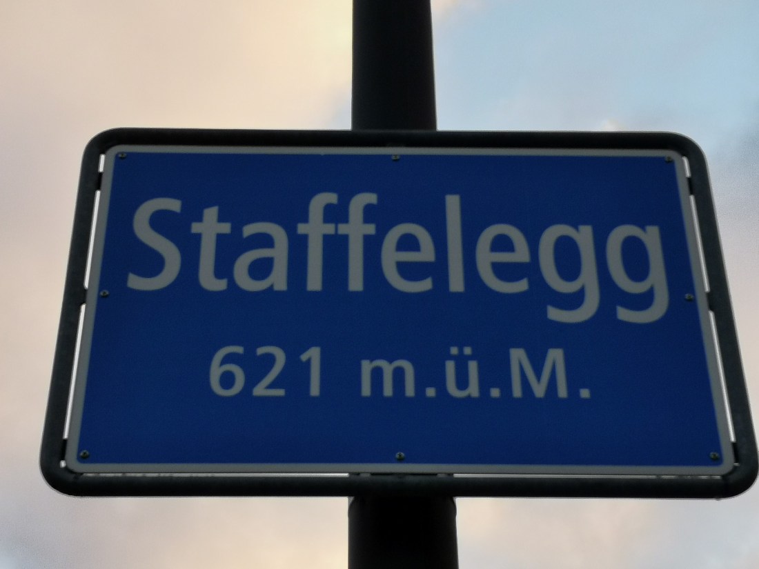
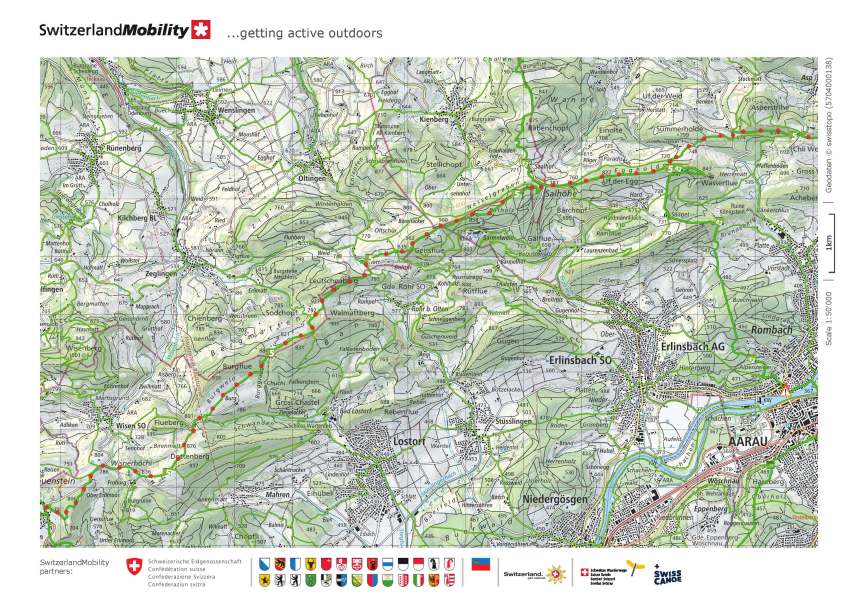
It had snowed since I had completed section 2 of the Höhenweg, and the day was colder when I set out to complete section 3. I reached Staffelegg early in the morning, perhaps too early. I say that because there was still glatteis on the roads, making them slippery underfoot. The sun had not yet warmed them enough to melt the ice. Indeed, the landscape looked slightly gloomy as I started out.
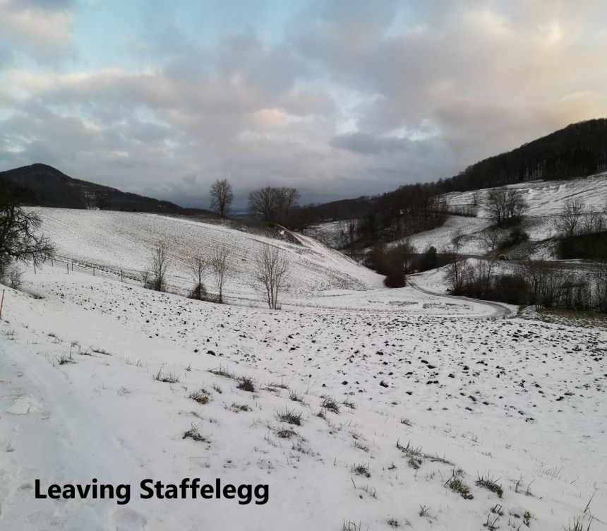
But I took care and has soon made my way past the fields and into the forest. I keep saying it: on any hike in Switzerland, there is always forest.
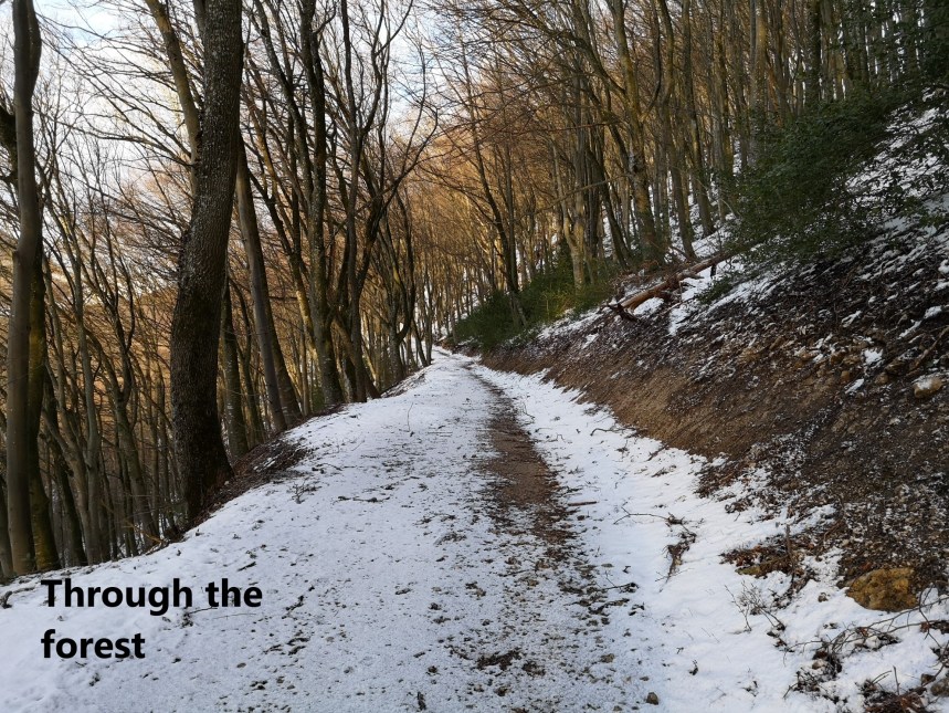
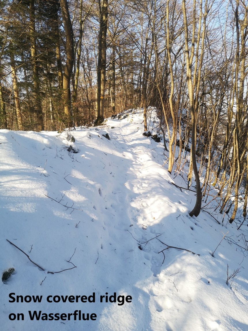
It did not take long to get through the forest, and then I was in open country again. I was higher up now, and as I passed Schwefelschür, the snow was noticeably deeper. It was good snow, and easy to walk in. My route kept on upwards towards Wasserflue.


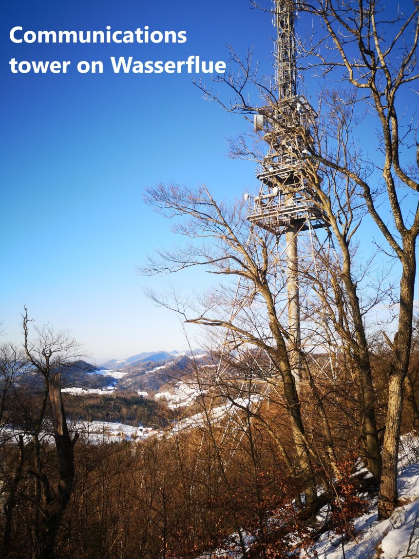
On the crest of the ridge there is junction of routes, and I took a short detour to Wasserflue. The exact summit is not marked. But overall the mountain has a communications tower that serves as a summit marker, visible for miles around.
I went west again, along the narrow ridge. It broadened out as I descended to Saalhöhe.
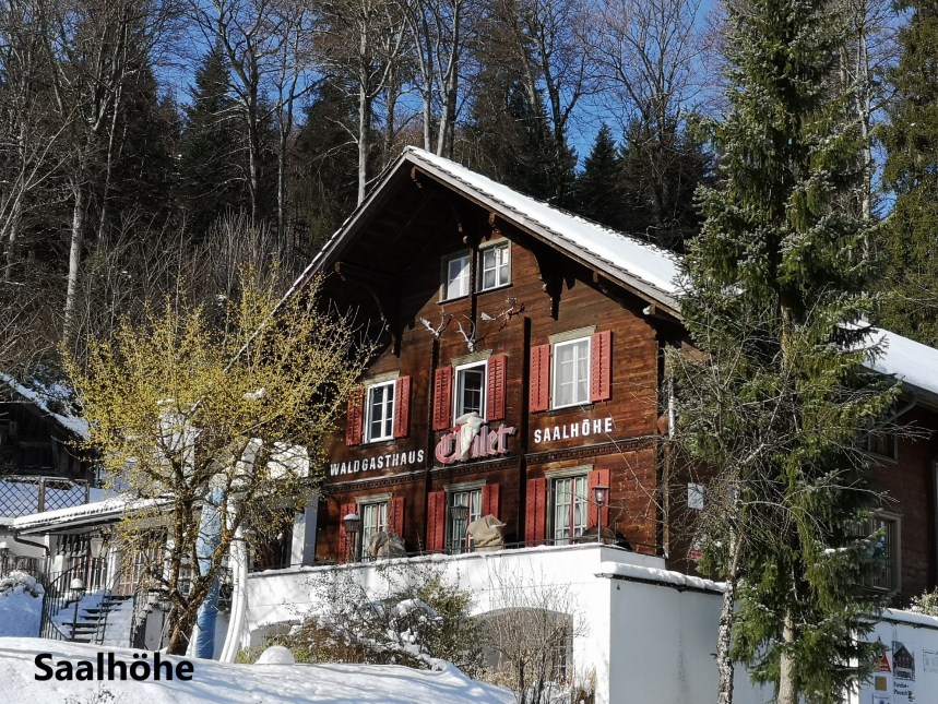
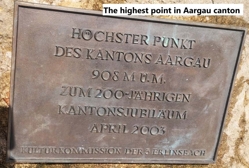
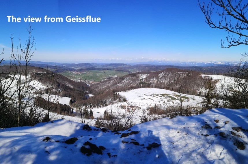
From Saalhöhe, my route took me across the road, and ascending slowly towards Geissflue. Just before Geissflue, there is a small unnamed summit that marks the highest point in Aargau canton. It was about 30 metres off the route, but it would have seemed disrespectful to that canton had I not gone there. That summit is in the forest, with no great views around, so I did not linger, but went straight on to Geissflue itself. I passed cantonal border markers on the way, going from Aargau, through part of Basel Landschaft, and into Solothurn. Geissflue does allow magnificent views to the north.


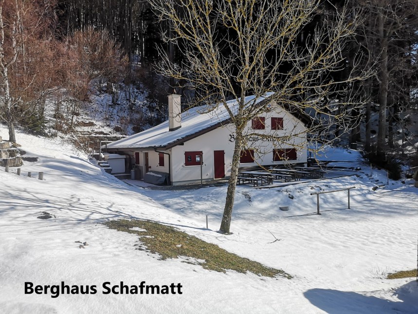
In the snow, it was hard to pick out the marked trail down from Geissflue, but I managed it OK and soon came to the Berghaus Schafmatt. I had been here before in warmer weather, when I was walking the circuit of Basel canton.
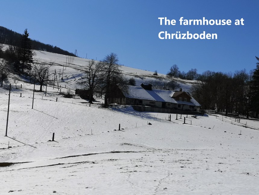
The next stage was familiar to me. I had walked this way before, but the snow gave it a new appearance. The farmhouse at Chrüzboden was busy the last time I was here, but it seemed abandoned in the snow. The owners had presumably moved to lower accommodation for the winter.
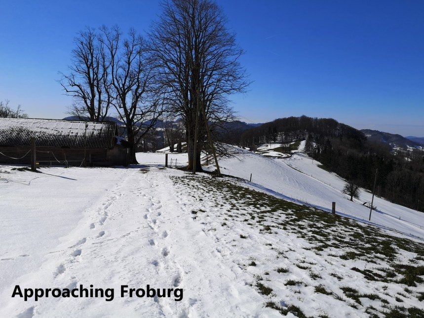
Once past Chrüzboden, the route went back up onto the ridge and on towards Froburg.
From there it curved around and down to Hauenstein. Section 3 of the Höhenweg officially ends in Hauenstein, but I walked another 2km to Läufelingen for the train home.
And my total steps for the day were 45282.

A damp and chilly winter day for a walk but you made it and endured the freezing weather after all. It’s a one tough adventure but self-fulfilling. What a glorious feat!
LikeLike