
The Jura mountains sweep in an arc westwards and southwards from near Zurich down to Geneva. The highest peaks of the Jura range are at the southern end of that arc, along the Franco-Swiss border near Geneva. Chasseral, not far from the town of Chaux-des-Fonds, is the most northerly and easterly peak above 1500m in height. There are several routes up the mountain, ranging in difficulty. It is actually possible to drive almost to the top of Chasseral. There is a hotel a little below the summit, and in the summer, even bus services come to the hotel. That leaves just an easy fifteen minute walk to the summit. The summit is also on the Jura Crest Trail, that Swiss national walking route #5. That trail approaches gently from the north and goes on to the south.
But I chose neither of those. Instead, I decided to take the route called the Combe Grède. I had used this route before, but in Summer conditions, and I was not sure what it would be like in winter. So I started out from St-Imier shortly after ten o’clock. At first the route is easy, going past the Longines watch factory, through a few fields and into a forest. But this is the entrance to a gorge, and soon the gorge narrows.


Eventually, the route has to ascend, and fairly quickly to get out at the top of the gorge. That section of the route is classed in some guidebooks as a klettersteig, but I am not sure if it truly qualifies for that designation. Yes, there are ladders, fixed topes, and other elements that one associates with a klettersteig, but in general, if one takes reasonable care, and if one has a head for heights, there is nothing to be afraid of.


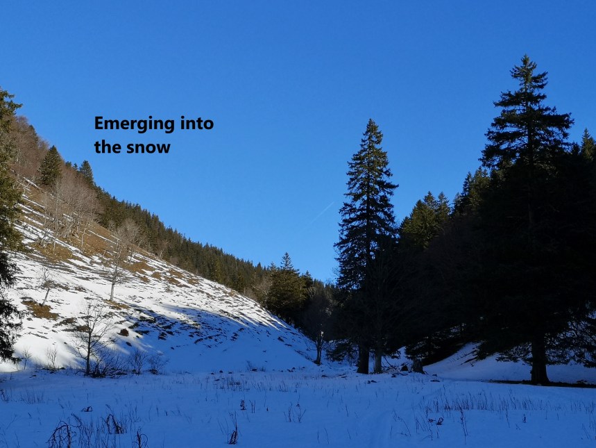
Today, though, was a little different. In two places, where small streams run across the path or drip onto it, the route was a sheet of ice, and extreme care was necessary. Occasionally, looking back at the steepness of the route just come, I was reminded of what the consequences of a fall might be. But thankfully, I reached the end of that section without incident, and I was into the snow at Pré aux Auges
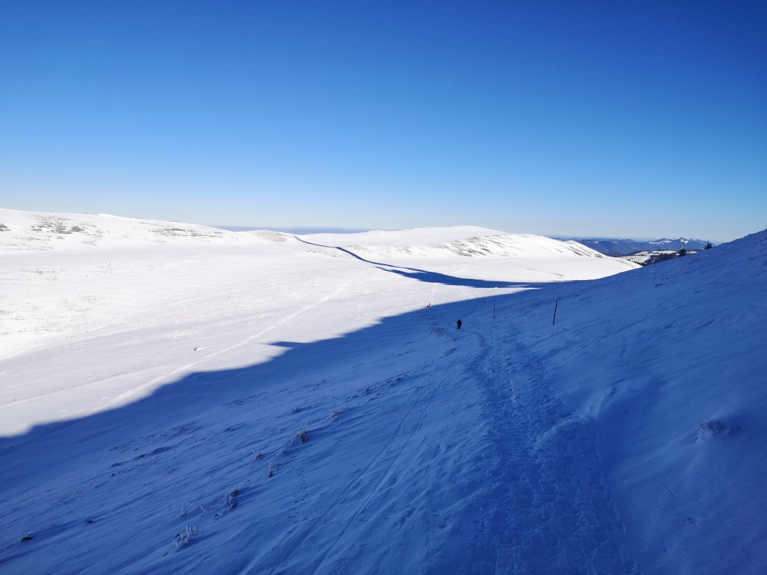
From there, it is a relatively easy walk of about an hour, first eastwards to the Métairie de Morat, and then southwest to the summit. All this was in good snow. And so I came to the summit of Chasseral.


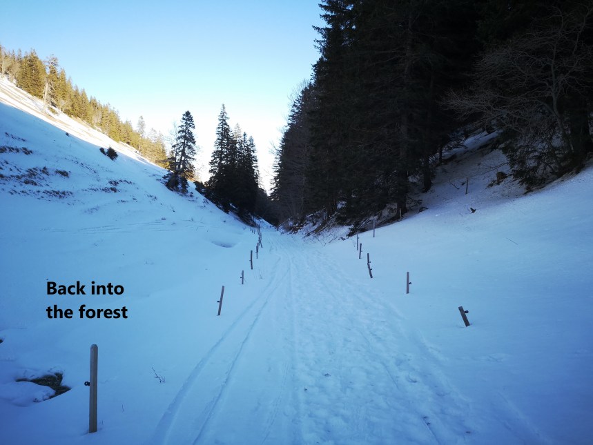
I had planned to take some refreshment at the hotel, but it was so busy, I decided not to, and just rested a few moments and ate some food I had brought with me. Then it was time to be heading down. I went back into the snowfields and down again to the Métairie de Morat, and continued eastwards into the forest
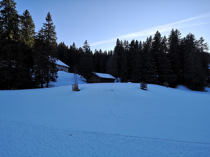
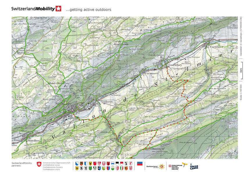
Once out of the snow at about 1000m, I followed the trails to Cortébert, where I got the train back to Basel. Here is the map of the walk.
And of course, I counted the steps for the day: 40,743
