
For quite some time I have wanted to take a walk in what I call the Western Jura. The Jura mountains generally swing round in an arc with one end close to Zurich and the other end close to Lake Geneva. There are two trails that take the walker through the mountain range. The Jura Hohenweg (Jura Crest Trail in English) is Swiss national trail number 5. And then there is the Via Jura Regio, which is Swiss trail number 41. But there is much more to the Jura range than can be seen from these trails, so I decided to use the local trails to put together a day’s walk somewhere a little bit more remote.
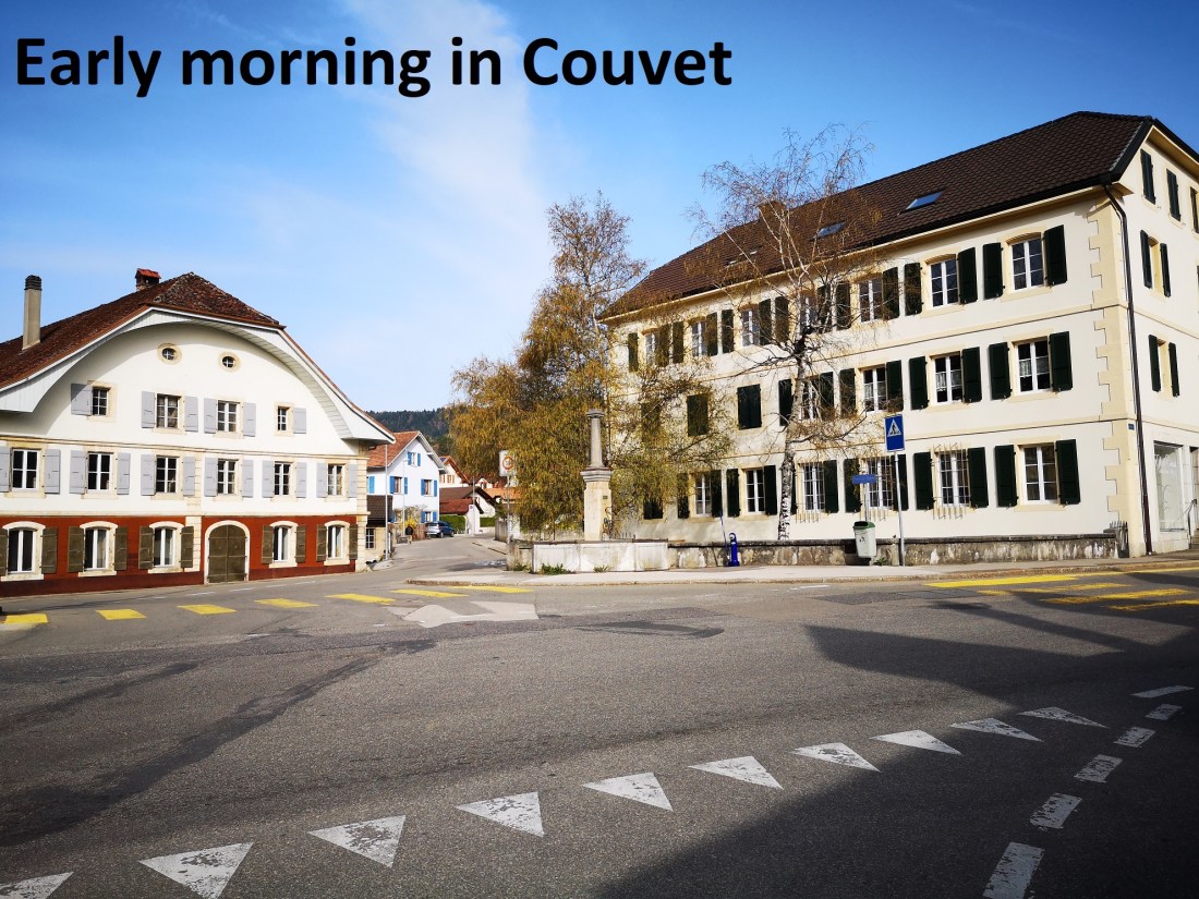
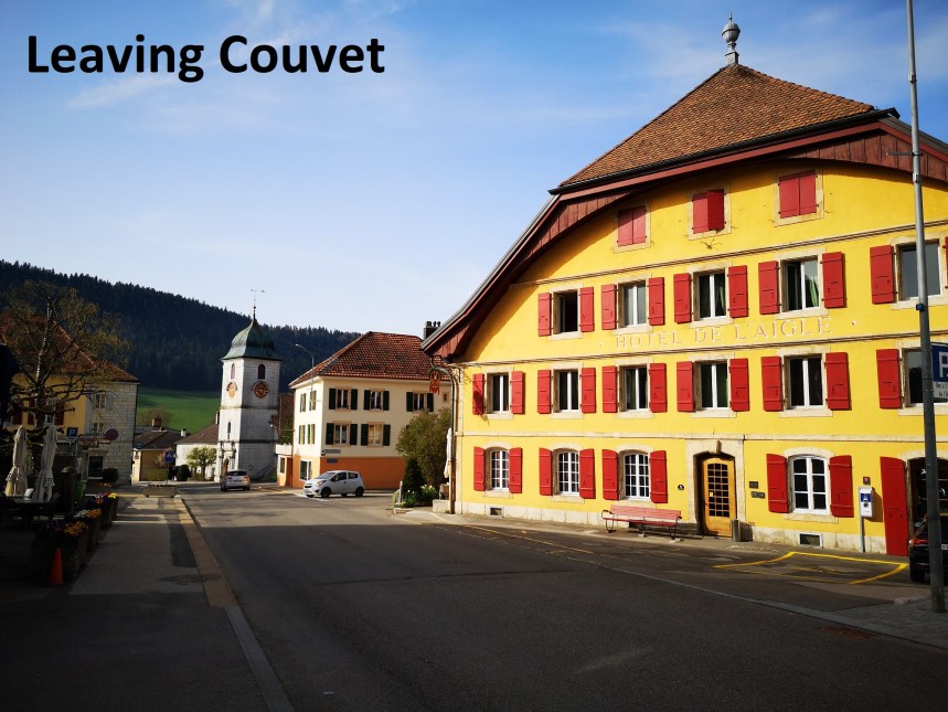
I started in Couvet on a fine day just after Easter. The train brought me to Couvet, and even though it was after 9 AM, the little town seemed almost asleep still. I went up the main street, past the little town hall, and past two waymark points. The first is in the centre, at 755m, and then on the edge of the town at 774m I went on, and was soon entering the forest.
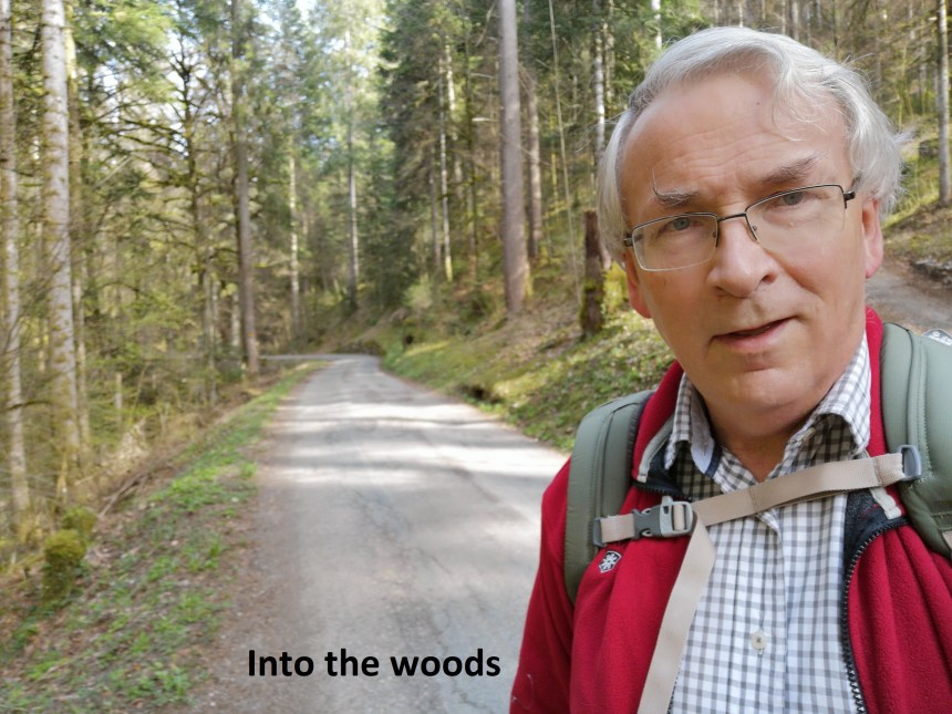
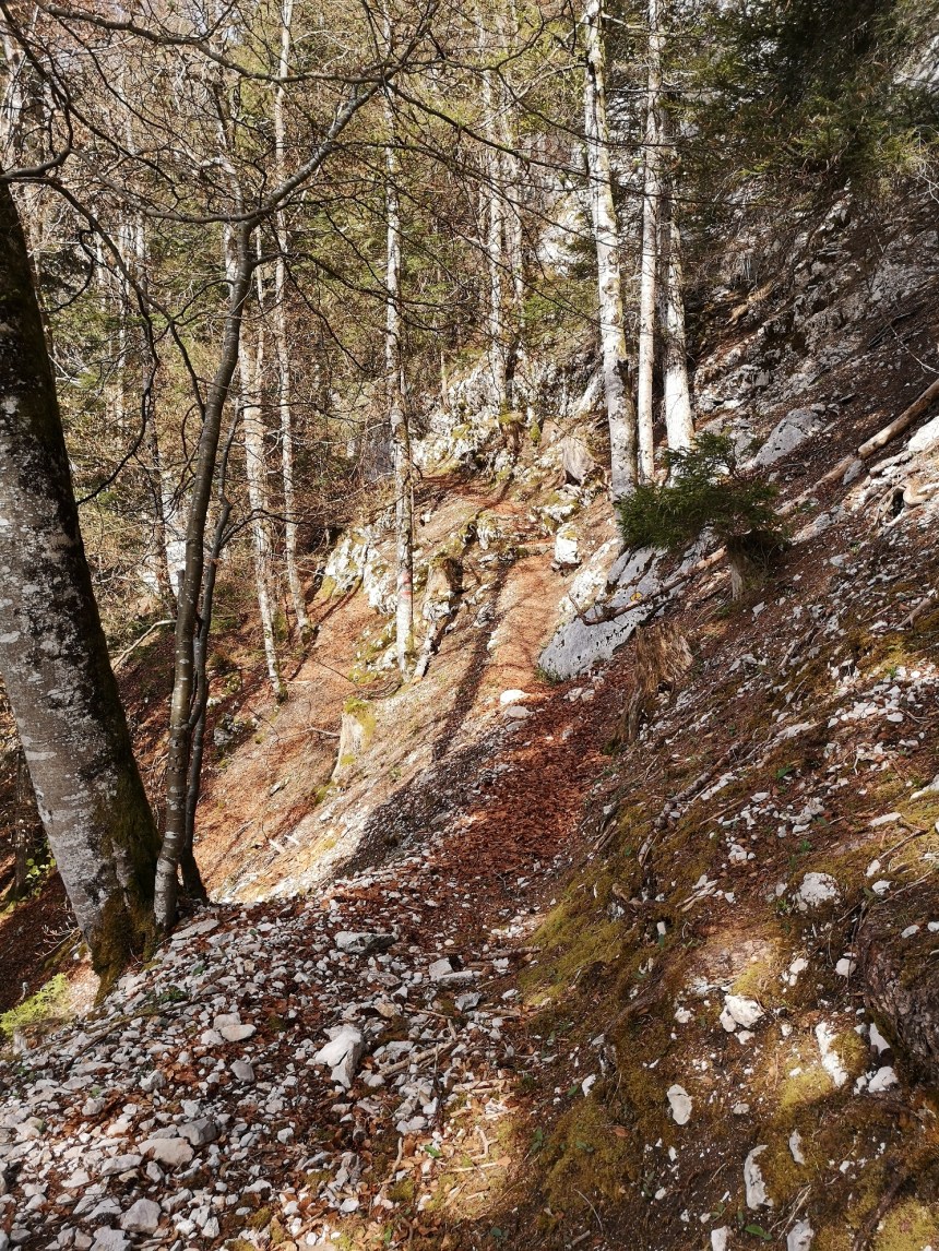
The route was ascending all the way from the train station, but it was gradual, and relatively easy. However, as I went further into the forest, the way became both narrower and steeper, until it was just a foot trail that seemed to be hanging onto the edge of a cliff.
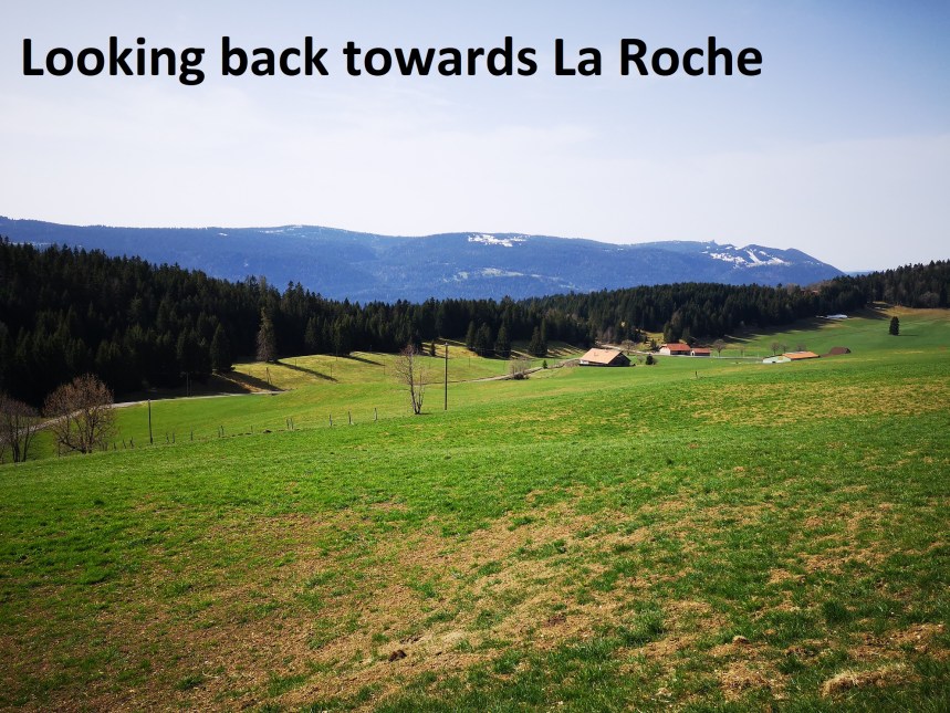
It continued like that until I emerged into the fields near the little hamlet of La Roche. There is a waymark point there, but it does not give the altitude of this little place. However, from the map, I reckoned it to be at 1171m, so I have come up over 400m since leaving couvet. From La Roche, I took to the road, still going upwards. I passed Le Chable with its waymark point at 1097, and reached the junction where a left turn put me on a track going to the summit of Cret du Cervelet. As well as bringing me to the summit, it also gave great views back to La Roche.
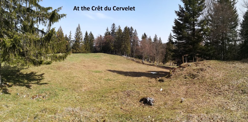
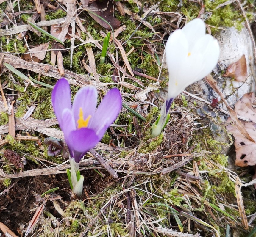
I have to say that I was disappointed with Cret du Cervelet. For one thing, the summit is fenced off, which is a pity. It is not the highest peak in the Jura, but it is a summit. Also, there was no summit marker. I had expected at least a cairn of some kind, but there seemed to be a small post, and that was it.. However, the are around the summit was carpeted with alpine flowers in all their spring glory, which was some compensation.
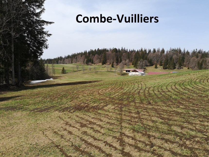
From Cret du Cervelet, it was a steady descent for about 1km to an unnamed waymark point at 1197m. It is the junction of several trails, and some care was needed to pick out the right one. Then I had an ascent again, passing Combe Vuiller to reach Haut de Jura at 1214m.
My route followed the edge of the ridge, through some ups and downs, and then upwards in the end to reach La Rocheta. Winter had not left this place, and there were many small patches of snow still remaining. The trees too did not seem confident of summer, with some still in their winter leaflessness.

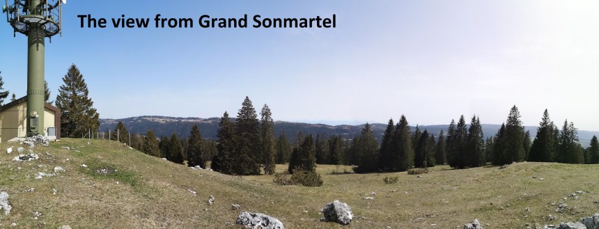
 I went on, passing Grand Joux at 1171m, and back into the forest, constantly upwards, to reach the auberge at Petit Joux, which is, paradoxically, higher than Grand Joux. I stopped just long enough to have a beer to refresh myself, and then it was on again to reach the summit of Grand Sonmartel at 1337m, the highest point on my walk. Not only is it higher than Cret du Cervelet, but it is marked with a radio/phone mast, and offers great views to the east.
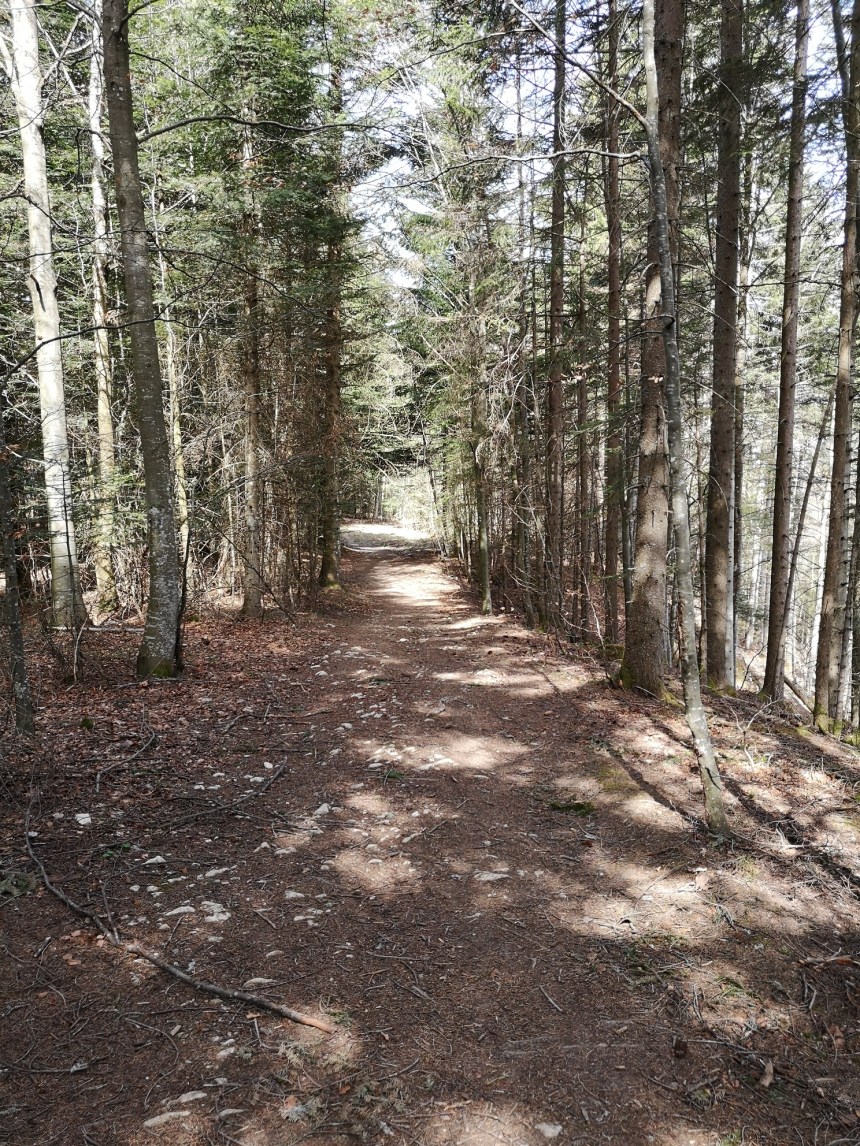
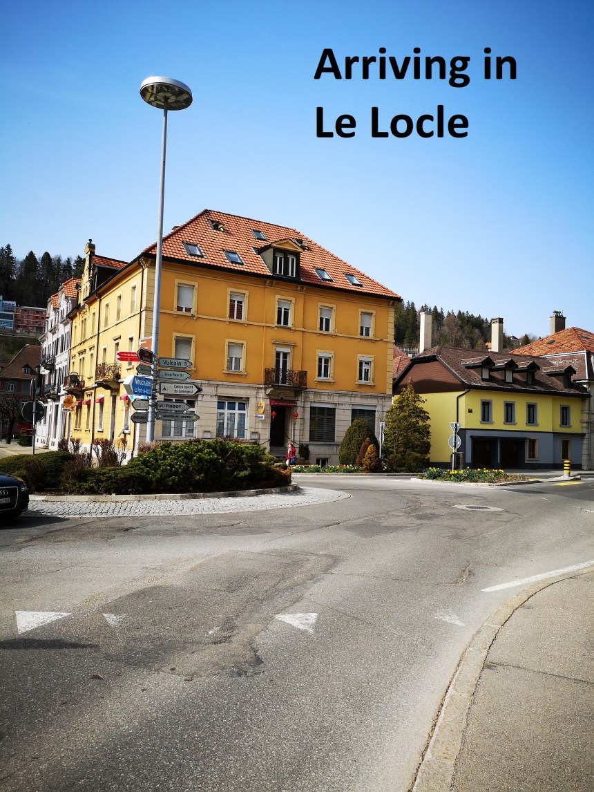
Once past Grand Sonmartel, it was all downhill, through the forest and on into the small town of Le Locle. From there, the excellent Swiss rail system brought me back to Basel.
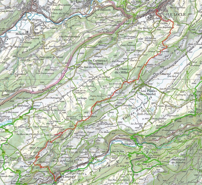
 This was a really enjoyable walk. It was strenuous, with plenty of small ascents and descents. It was 32km in length, so it really is an all-day affair. I have put in the height profile and a map of the route here. The route is marked in red on the map.

And finally, my step count for the day was 47,081. A good walk!

Sounds like a great walk, I love the photos.
LikeLike