
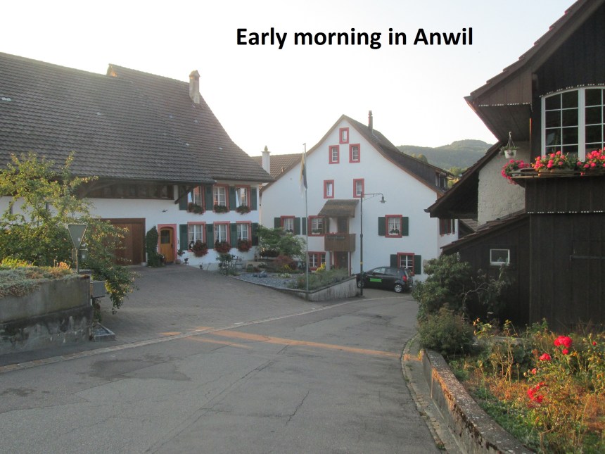
The weather has turned autumnal in Switzerland. The wild fruits are there for the taking and the fields have mostly been harvested, with just the corn plants still standing. And the harvest has begun on those in some places. Weather wise, it has not yet got cold, though it is not exactly warm either. So I picked a day when the weather forecast looked good for my walk from Anwil to Langenbruck.
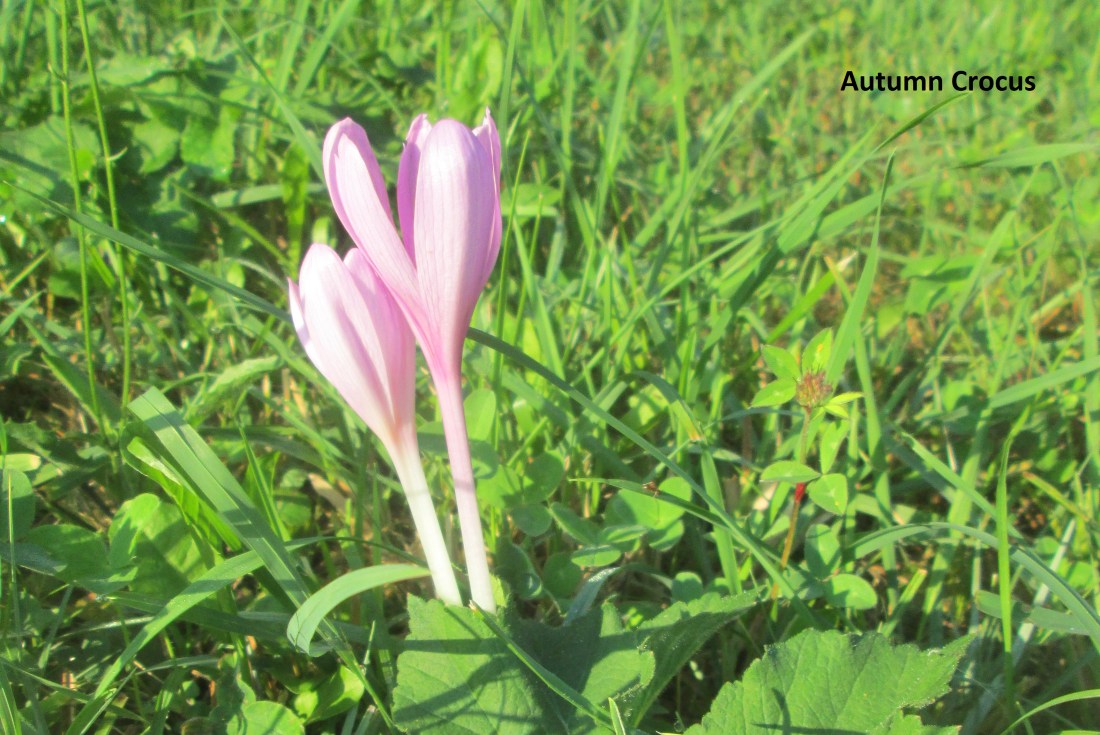
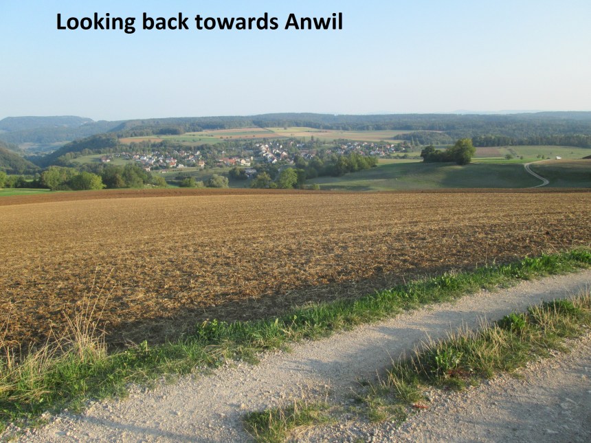
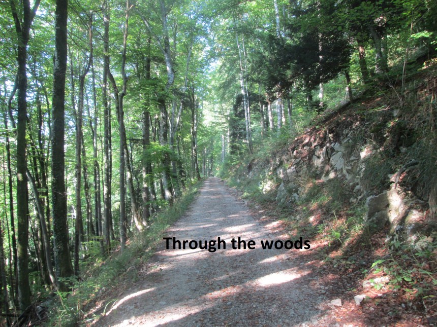
I set out from Anwil early, heading south and up the hill. Soon I reached the Egg waypoint, and headed on into the forest. It was near Egg that I first noticed the autumn crocuses pictured at the top here. I would see a great many of these through the day. They are beautiful, but poisonous! Egg also provides some last views of Anwil before going into the trees.
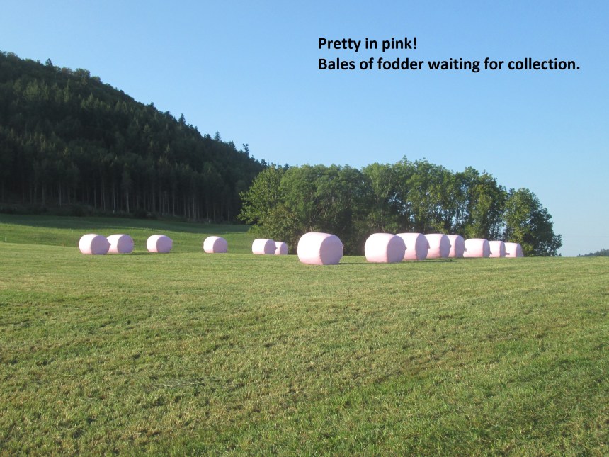
Going through the forest, the route continues to ascend, and then there is a short sharp descent before it levels out again on the way to Schafmatt. I was pleasantly surprised to see bales of fodder still in one of the fields. The grass would have been harvested and baled earlier in the year, and these bales should really be in storage by now. I was disappointed when I reached Schafmatt. The last time I was here, the views to the south were spectacular, with the line of the Alps clearly visible. But this time, they were lost in the haze.

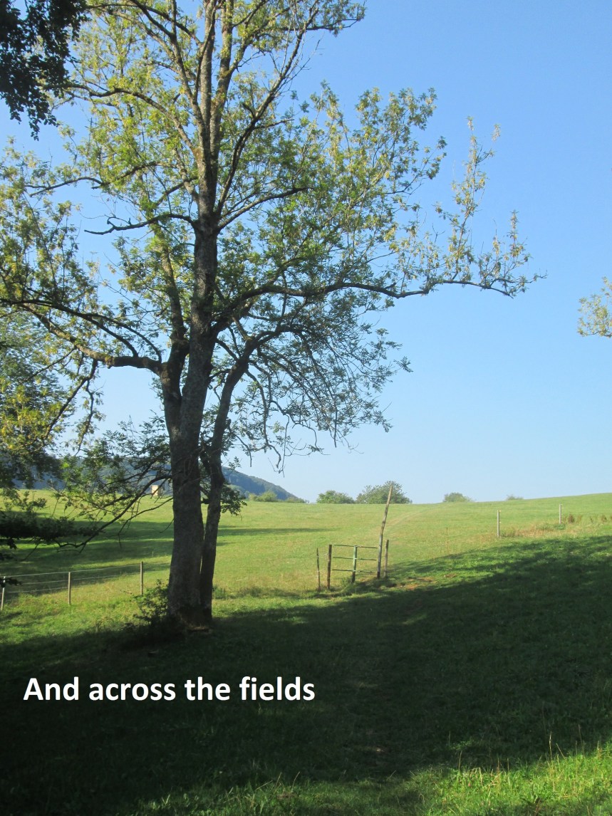
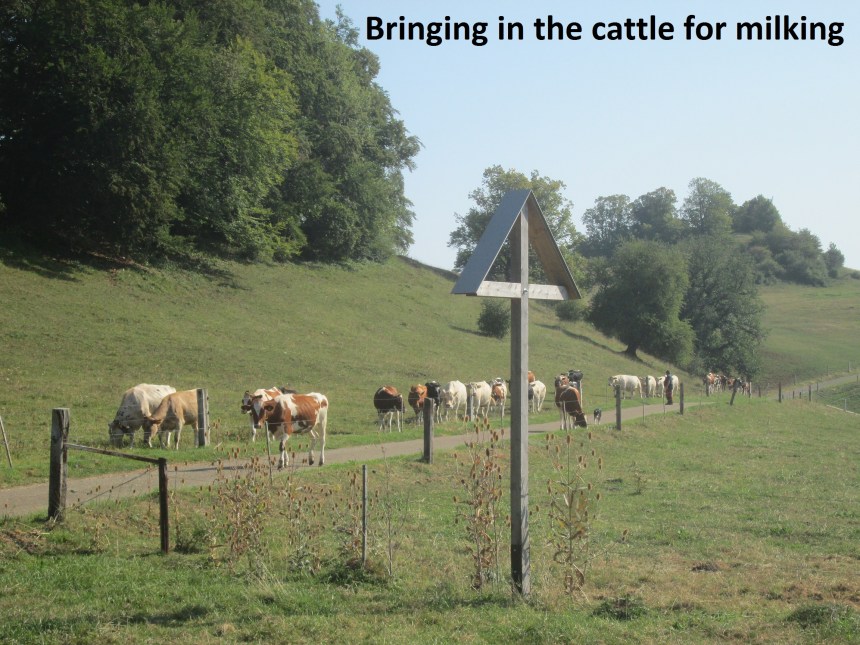
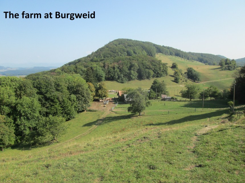
From Schafmatt, I followed the national route number 5, the Jura Hohenweg. In hiking terms, this is like joining a motorway, with more frequent signposts than on the local trails. So for the most part it was easy to follow through forests and fields until I came to the farm at Burgweid. The last time that I came this way, I lost a lot of time in the woods at the Burggraben waymark point when I struggles to find the right route, but this time I was prepared and new exactly which route to take. And so I reached Burgweid quickly, in time to see the farmer bringing in his cattle for milking.

The route goes uphill after Burgweid, but this is really the last hill before Hauenstein. After that short uphill piece, it was fairly flat as far as Froburg, and then downhill all the way to Hauenstein. I had hoped that there would be a bar or shop open in Hauenstein where I could get refreshments, but the bar only opens at weekends, and this was a weekday. Luckily, I was not relying on this, so I went on my way.

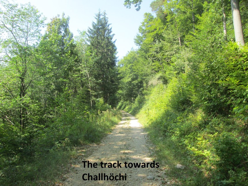
From Hauenstein, it is a long ascent to Belchenflue. The route goes steadily upwards to Challhöchi, descends just a few metres and then ascends again, following the old military road to Belchenflue. The road was built in 1915, as part of measures to be ready to defend Swiss neutrality in World War One. The road was cut from the mountain, leaving rock walls at the side, and these are decorated with the insignia of the military units that did the construction.


At Belchenflue, like at Schafmatt, the haze did not allow great views. Normally there is a spectacular panorama from the summit, but on this occasion the Alps were not visible. So I did not hang around, but went on my way. It is downhill from Belchenflue as far as Gwidem, then there is a short uphill piece, before descending again all the way to the farm at Asp.
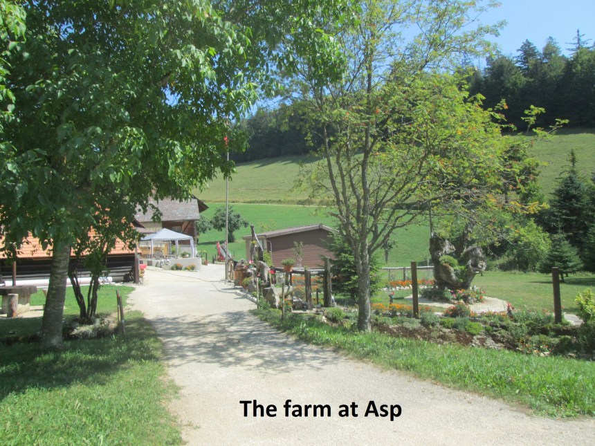
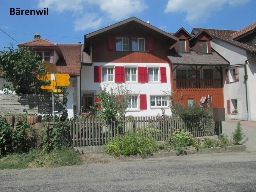
From Asp, it is relatively flat to Bärenwil. In Bärenwil, like in Hauenstein, there was nowhere open to provide refreshments, but I was on the home stretch now, and kept going to Langenbruck.
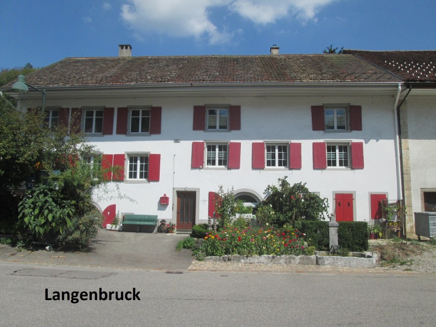
In Langenbruck, I was finally able to get a beer, and enjoy it while I waited for the bus that would start my journey home. It was a good day’s walk, in pleasant weather, even if a little hazy.
Finally, the step count for the day: 46639.
