
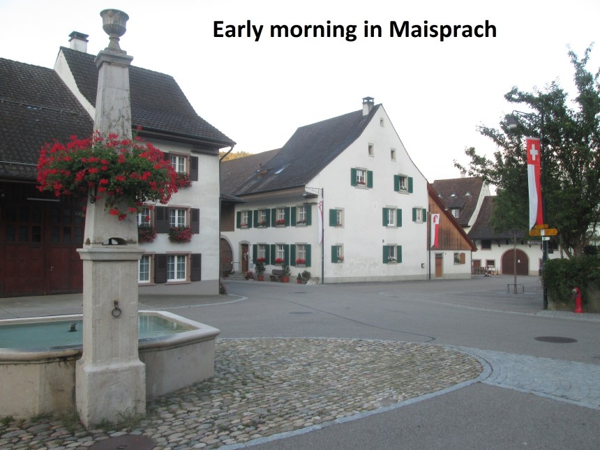
It was raining the last time that I walked from Maisprach to Anwil. SO when going over the route again, I waited for a day that would be sunny and clear. And in this wondrous summer of 2018, such days are not so hard to find. In fact, I was worried that in the afternoon heat, I would be exhausted, so I chose to go early in the morning, before the coolness of the night had fully evaporated.
And so I found myself in Maisprach just before 7 AM, with the streets deserted as people seemed to be still waking up or having breakfast. I had decided that I must follow exactly from where I finished last time, so I took the trail back up to Chleisunnenberg to begin my walk in earnest.
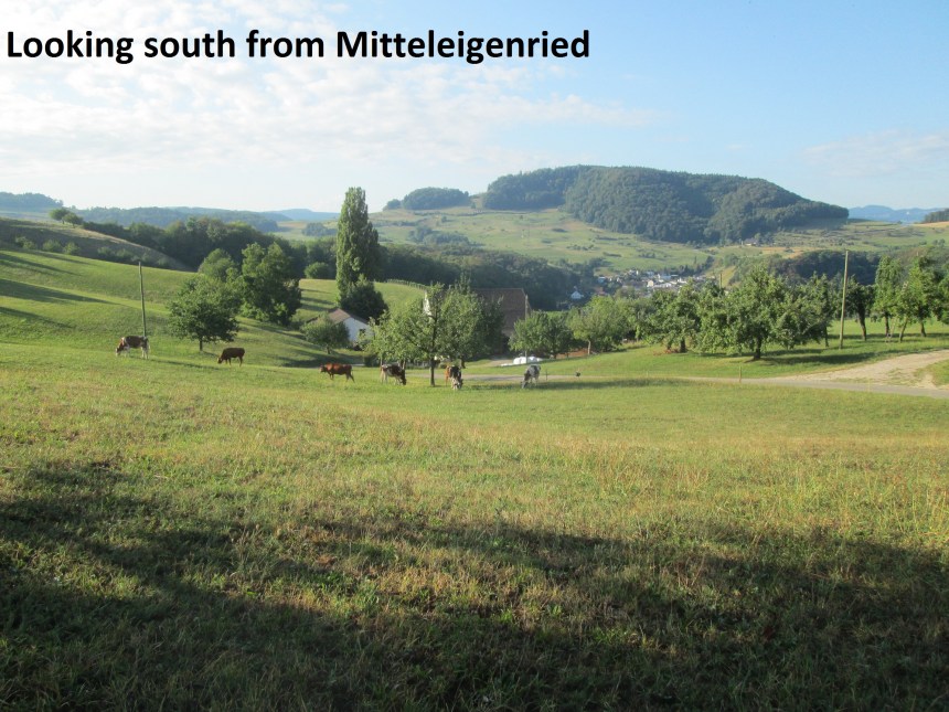
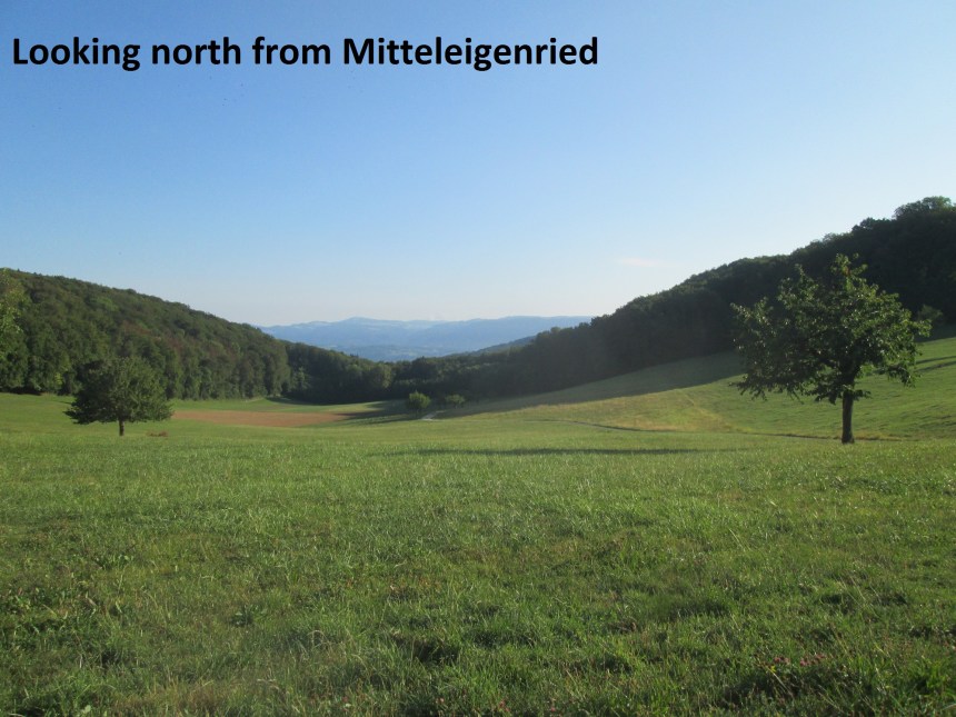
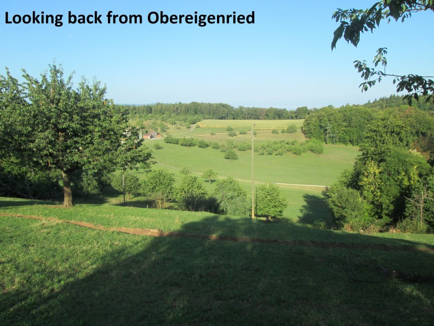
Then it was downhill again to the junction at Egg, where I left the waymarked trail and went back into the forest. At first it was a wide forest road, and then a track only suitable for walkers, but it soon brought me out into the open again just above Eigenried. Eigenried is not a village, but a collection of three farming settlements, named according to the elevation: Untereigenried, Mitteleigenried and Obereigenried. You don’t need to be a scholar of the German language to work out which is the highest and which is the lowest. I came first to Mitteleigenried, and went on to Obereigenried, being treated to wonderful views as I went.
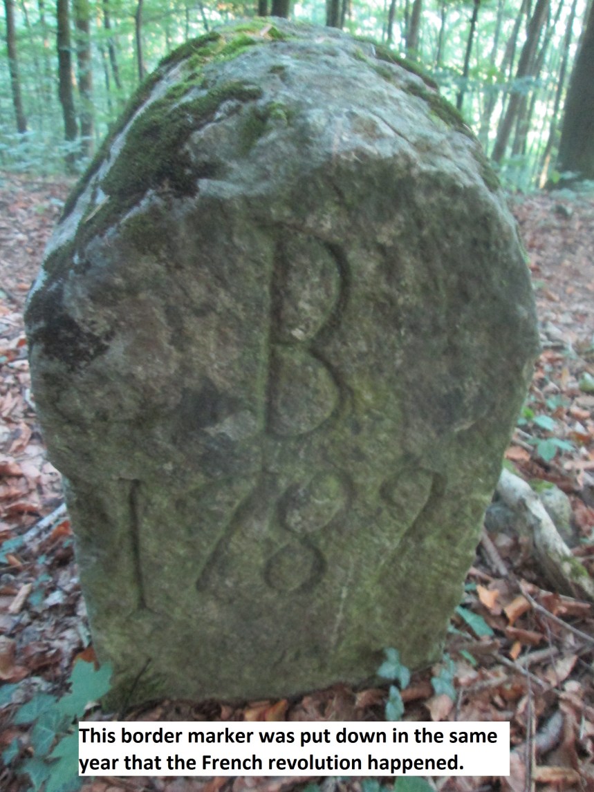
At Obereigenried, I went on along the edge of the forest. I knew my route would go into the forest, but I took the turn too early. The trail I was then on was a dead end, but serendipity came into play, and I found a border marker from 1789. It is interesting to think that in the same year as the French revolution occurred, the good citizens of Basel were marking out their canton in this way.
I got back on the correct route, went through the forest, and back out into farmland. The grain crops have all been harvested, but the sweetcorn is still standing, waiting for the right day when the machines will move in to make the land bare again. And so I came to the road between Buus and and a farming settlement called Asphof.
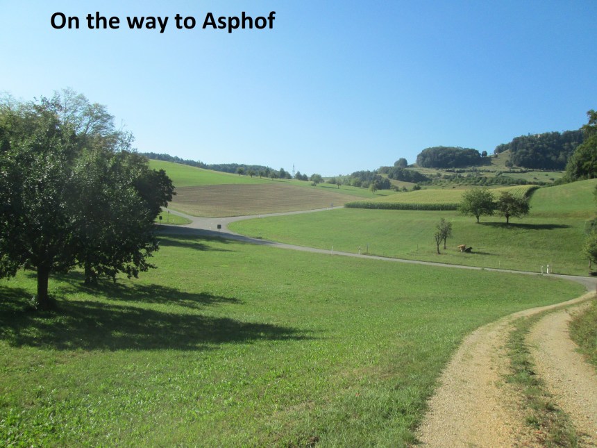
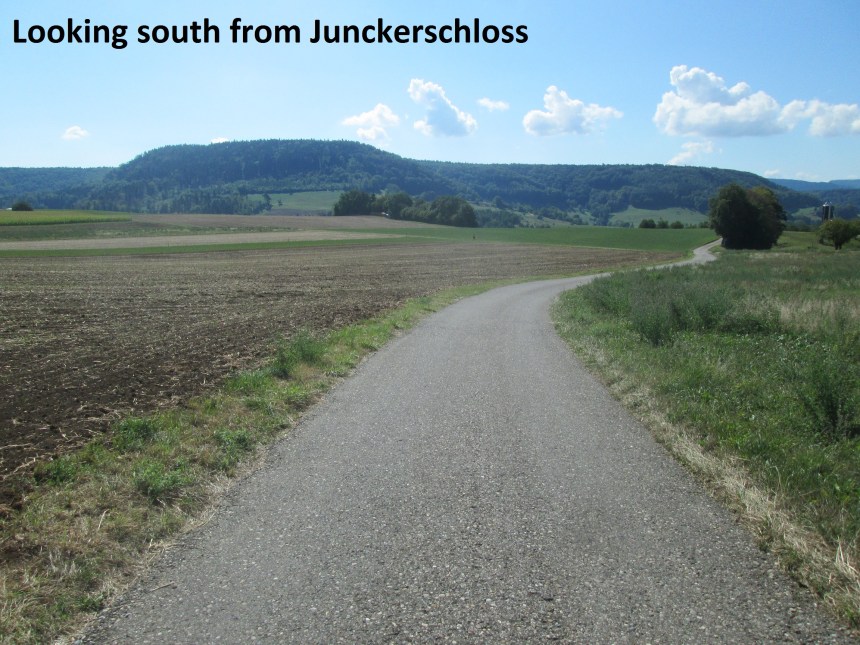
Then it was uphill again, passing the farm at Asphof. I passed more farms at Rigiberg and Rutihof before going back into the woods again. I came back into the sunshine at Junckerschloss, which also brought me back onto waymarked trails again. Going south from Junckerschloss I passed a group of walkers, all men, mostly as old or older than myself. It is a common pursuit among retired people of Switzerland to go walking, mostly on shorter routes than I take, but nevertheless providing exercise and comradeship. I passed the marker at Chilp, and went on to a second place called Asphof. Two places in the same canton, just kilometers apart could confusing, but everyone seems to know where they are.
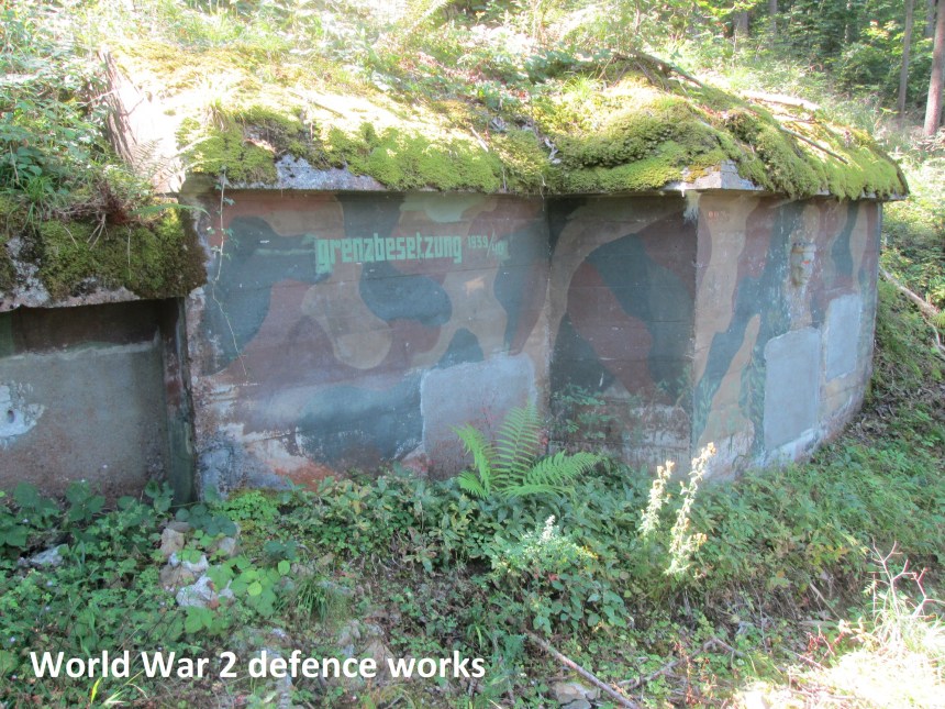
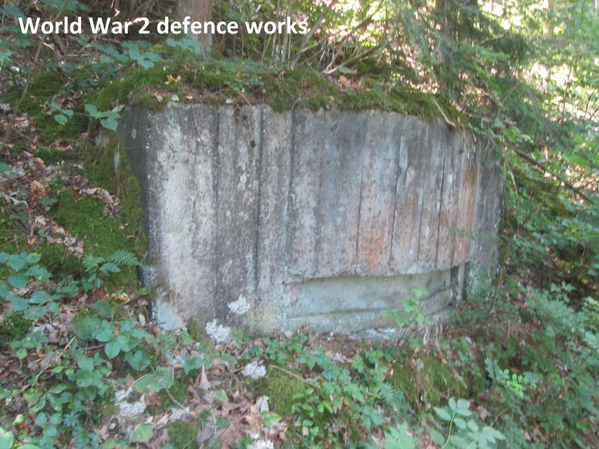
From this second Asphof, I took the route uphill towards Buschberg. This section is mostly in forest, and passes some relics of Swiss defences from World War 2. There are many of these in Switzerland, as the strategic plan at the time was that if attacked they would conduct a fighting retreat back to the Alpine wall, and there make their stand. Thankfully they were never needed. Today they remain in place, slowly disintegrating back into the landscape.
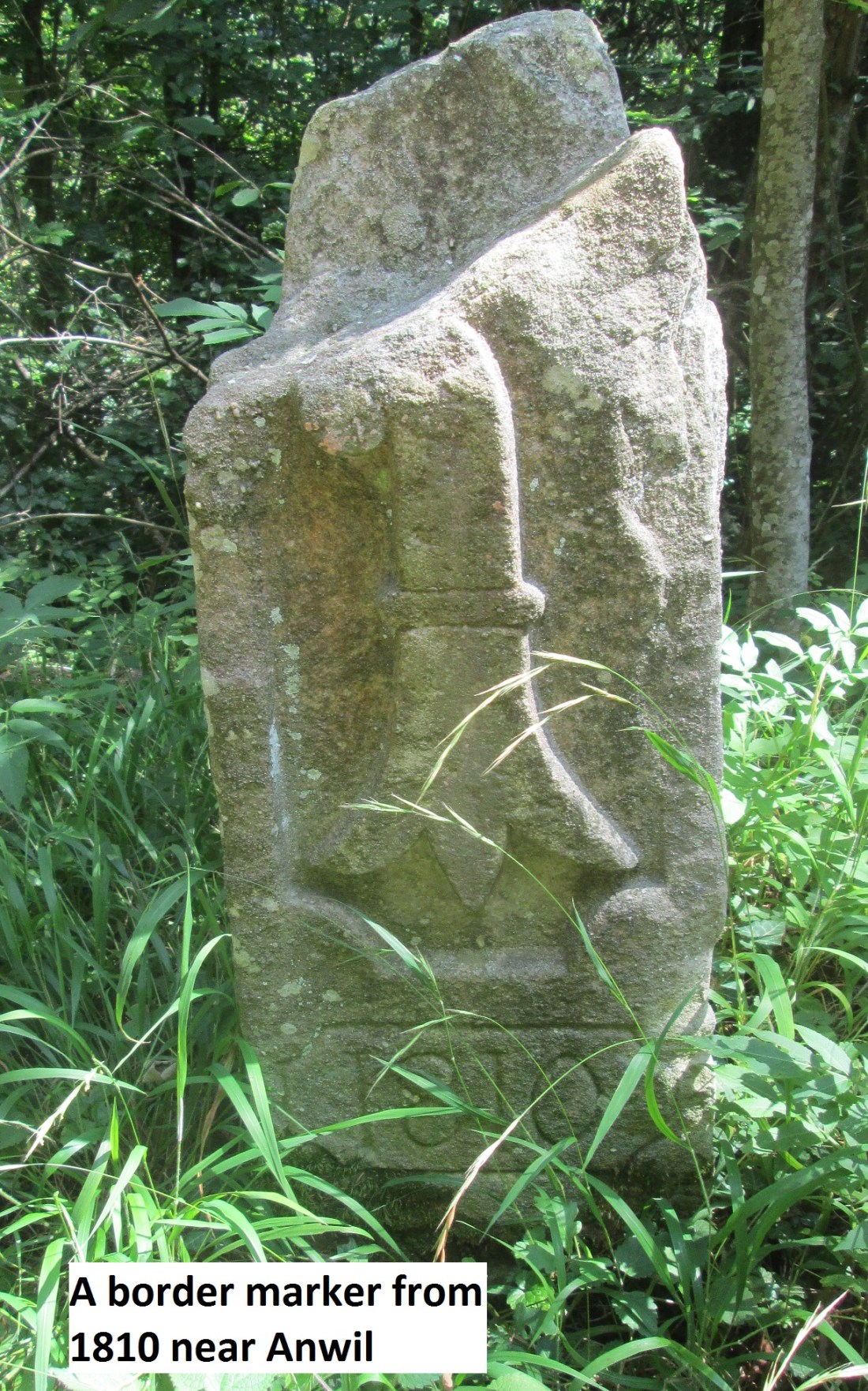
The trail levels out and heads through the forest towards Buschberg. There are old and new markers to be found here, these two over two hundred years apart in time, less than a kilometer in distance.


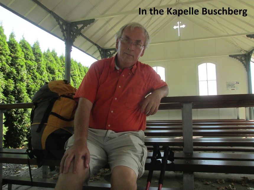
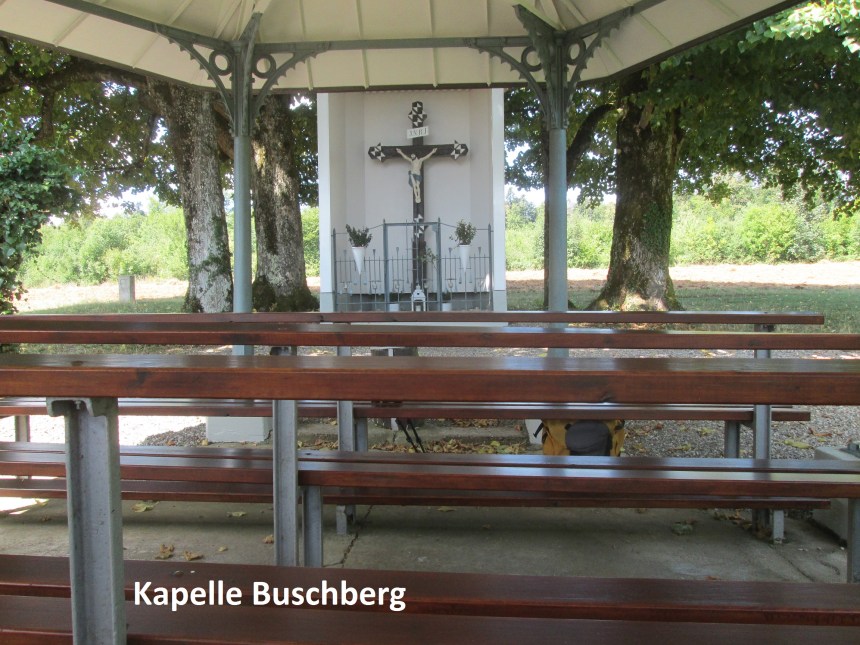
From Buschberg, the route heads south again towards Anwil, quickly coming to the Kapelle Buschberg. This wayside church is from the 19th century, its iron columns the clue to its age. And it is still in active use today.
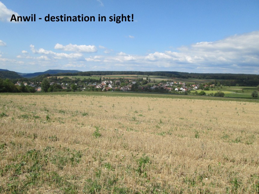
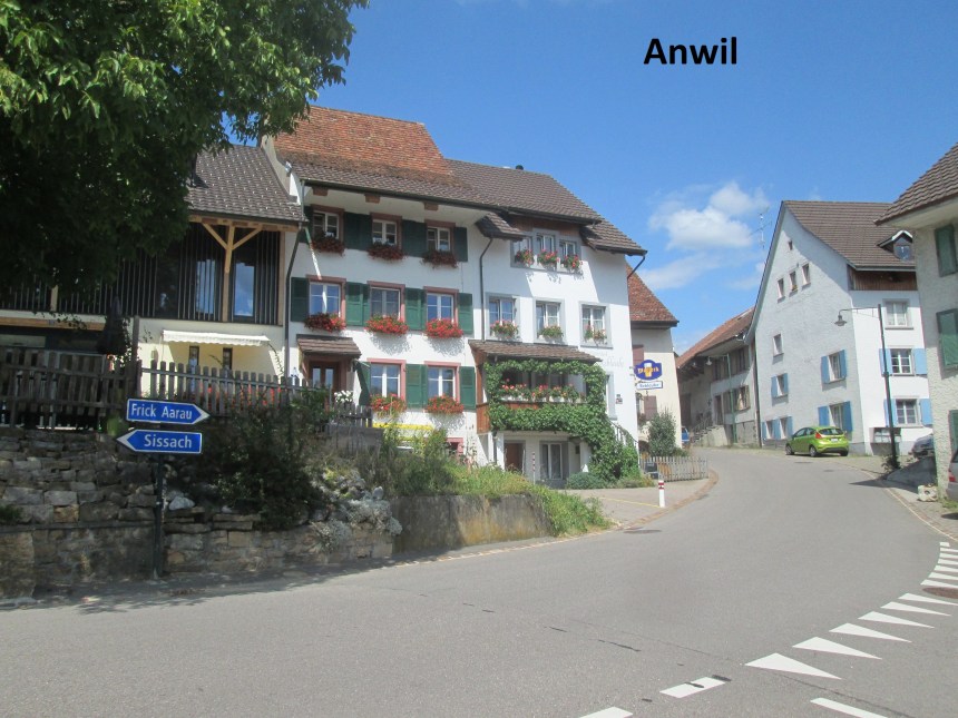
The route goes straight from there to Anwil. At the edge of the village I decided to do the circuit of the area. This time my navigation was better, and I did not have to scramble through the undergrowth to get out of the forest. But it is summer and the cows are at pasture. I had to cross a field, and they inquisitively came towards me. Or maybe they thought I had some food. But they kept a respectful distance, and I got to the road without incident. Continuing on brought me to the hill just south of Anwil, where I could see the village again. And then it was just downhill and into the village to catch the bus for home.
And finally the step count for the day: 46244 steps.
