
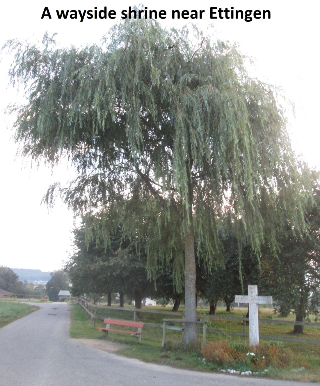
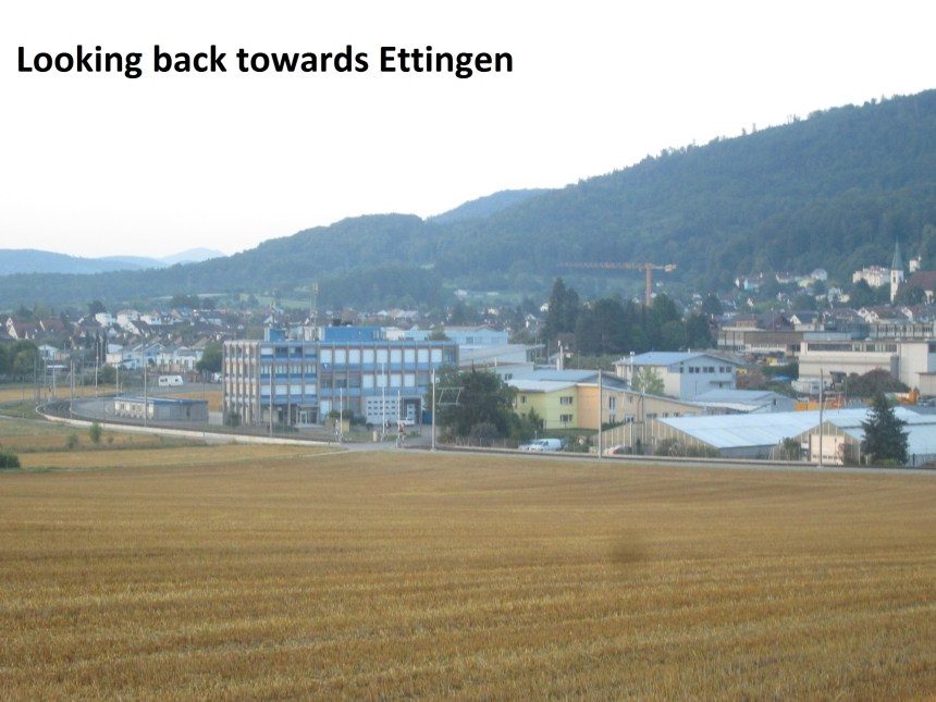
On a sunny day, I started out to complete the last stage of my walk around the complete canton of Basel. I knew the day would be hot, so I got an early tram to Ettingen. Yes, I was within the tram network from the city at this stage. No busses or trains needed.
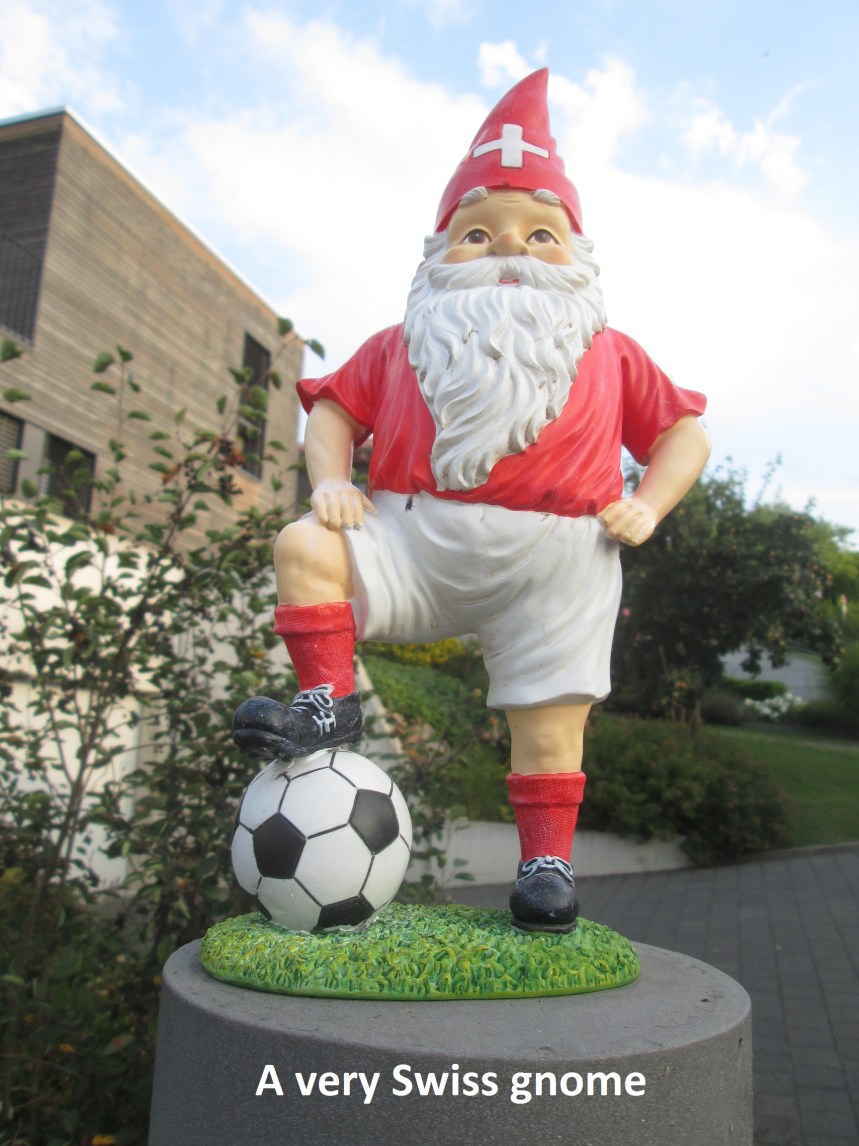
A network of laneways took me through the fields from Ettingen to Biel-Benken. The countryside is relatively flat and there are no great hills to ascend. Biel-Benken is a small village that seems to be mostly residential, with houses decorated to the owners’tastes, including the little fellow here.

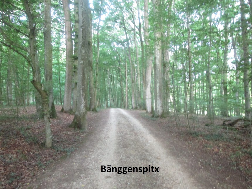
I bypassed the centre of the village to come out on the Neuwiller road and the cornfields byond. The cornfields were actually part of a short detour. The borders of Basel canton, and indeed all of Switzerland, are full of twists and turns, and there is a small finger of land that stretches into France west of Neuwiller. It is a wooded are called Bänggenspitx, about 200m wide and about 750m long.
The border with France is well marked with stone markers. They are in different styles. Those from the early 19th century carry the symbol of Basel. It must be remembered that Switzerland existed more as a concept back then than as a real country, only formally adopting the constitution that unified the country in 1848. The markers from the later 19th century carry a cross, showing Swiss rather than cantonal identity. And then, somewhere in the early 20th century, the markers started simply to carry an S. in all cases, the French side of the markers carries a simple F.


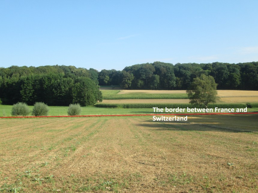
But in many places, the border between France and Switzerland crosses fields with only a ditch or an occasional tree to show its presence.
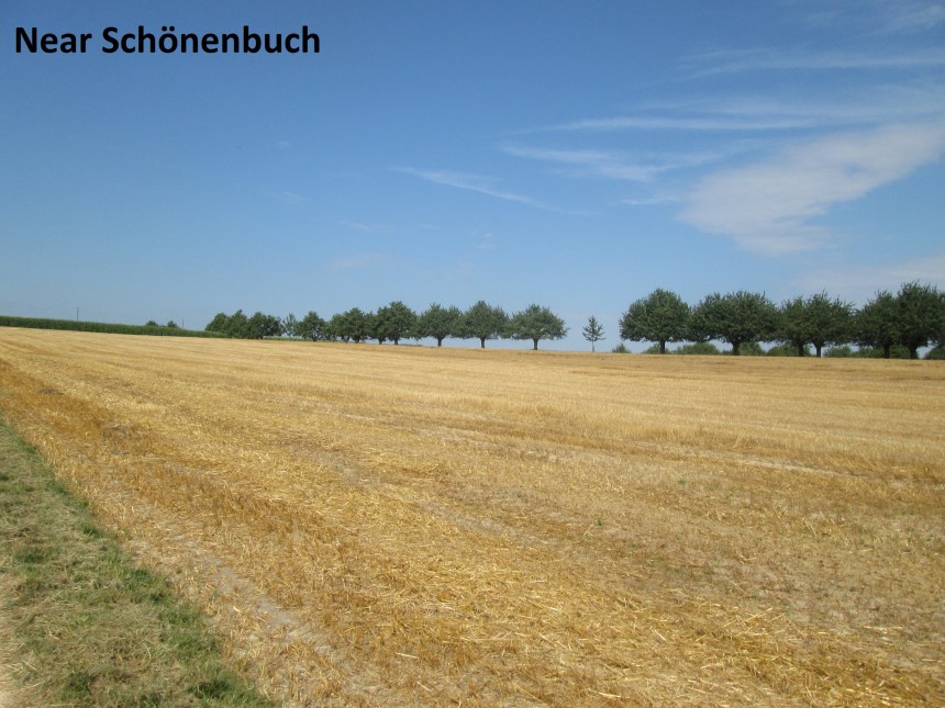
The route goes through forests and fields for several kilometers around Neuwiller. Mostly it follows the border, either exactly or very close to it. I had to take a short detour to avoid a shooting range near Schönenbuch, but eventually I came to the village.
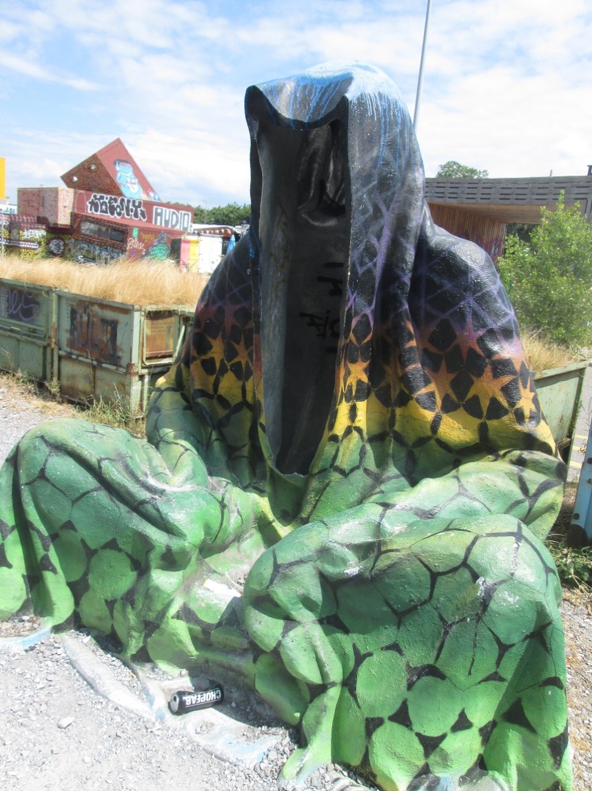
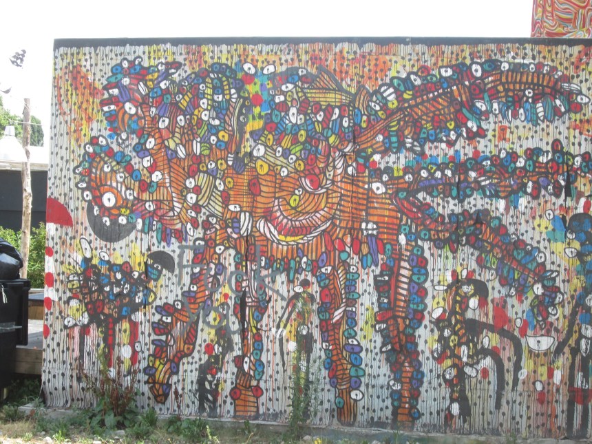
I left Schönenbuch following the road to Allschwil. The road follows the border, and there was a cycleway at the side which avoids the danger from passing motorists. On the edge of Allschwil, I left the main road, going through a housing development closer to the border. I went on through a cemetery. It is coming out of Allschwil that the quality of the walk really deteriorated. No more fields, forests or mountains. Instead the road was bordered with gravel pits, recycling depots, and what seemed like plain dumps. I provide no photographs on that section! So I kept going quickly to come to the Burgfelder area. Then going through the grounds of the Rehab facility, and over the motorway brought me to St. Johann. I was on familiar ground now, walking down to Voltaplatz and over the Dreirosenbrucke. Then walking northwards along the bank of the Rhine I came to something I never saw before. Ad hoc art installations, pop-up cafes and similar off beat installations line the route.
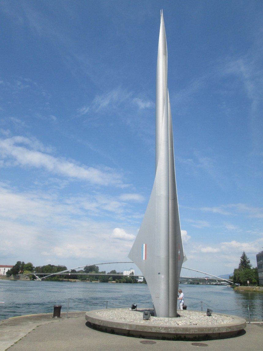
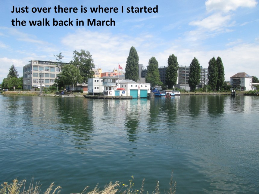
And so I came at last to Drelanderecke. This was where I started months ago. I have come a long way, and learned a lot about Basel in the time since then.
And the step count for the day was 48753. Not as long as some of the other stages, but with its own interesting features.
