
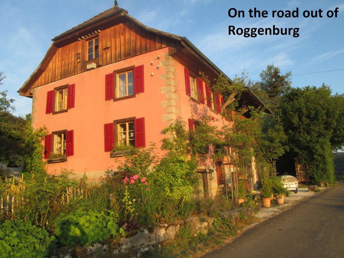
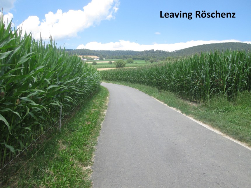
It was a bright summer morning when I left Roggenburg. The sun had risen but only just, and was casting long shadows with its near horizontal light. I took the road west out of the village: Löwenburgweg. I had planned to use the waymarked trails to get to the French border, but the morning was so good and the road so quiet that I stayed on the road instead, and soon reached Ederwilerstrasse.
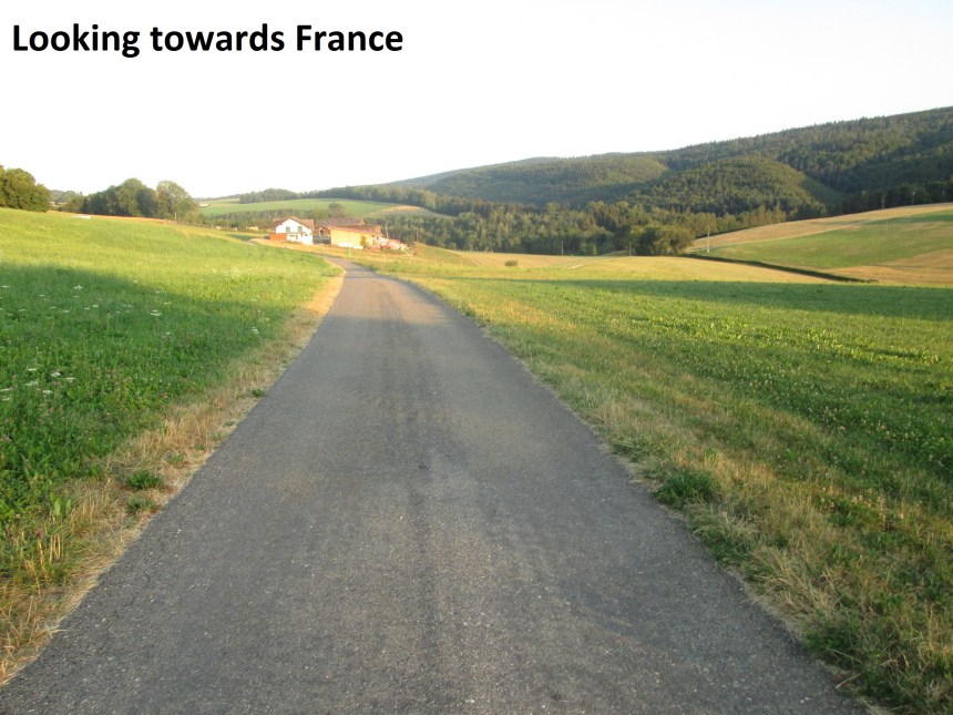
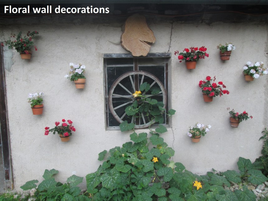
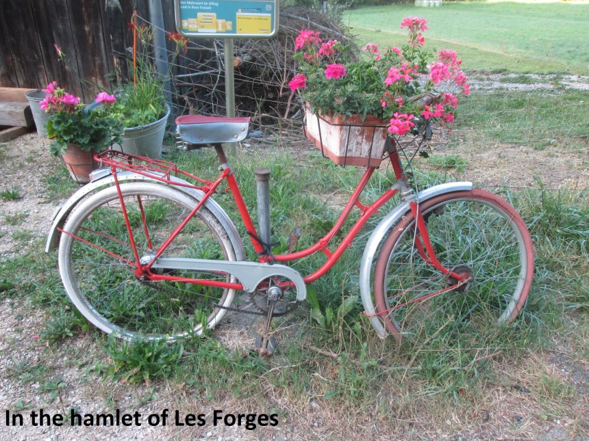
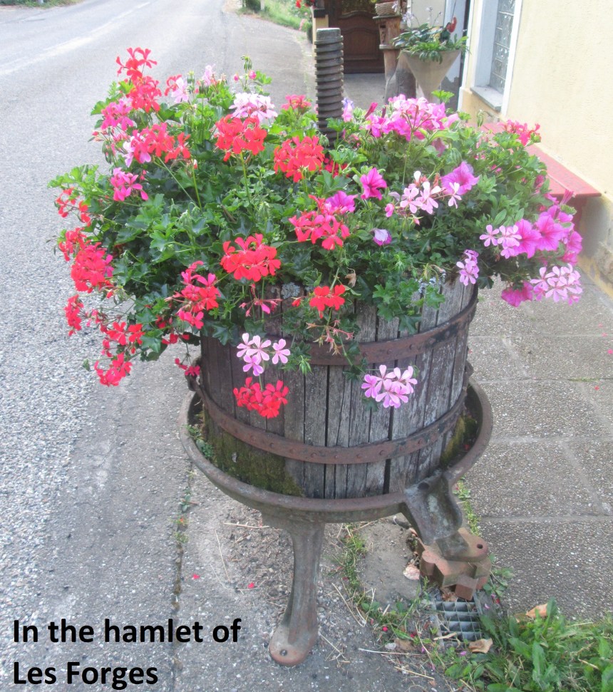
This road is what is referred to as an “International Strasse”, or international route. That means it goes from Switzerland, into France, and back into Switzerland. And soon, I was walking along the French section. There are no villages on this French section, but there are a few houses and a little hamlet called Les Forges. And they seem to love their floral decorations.
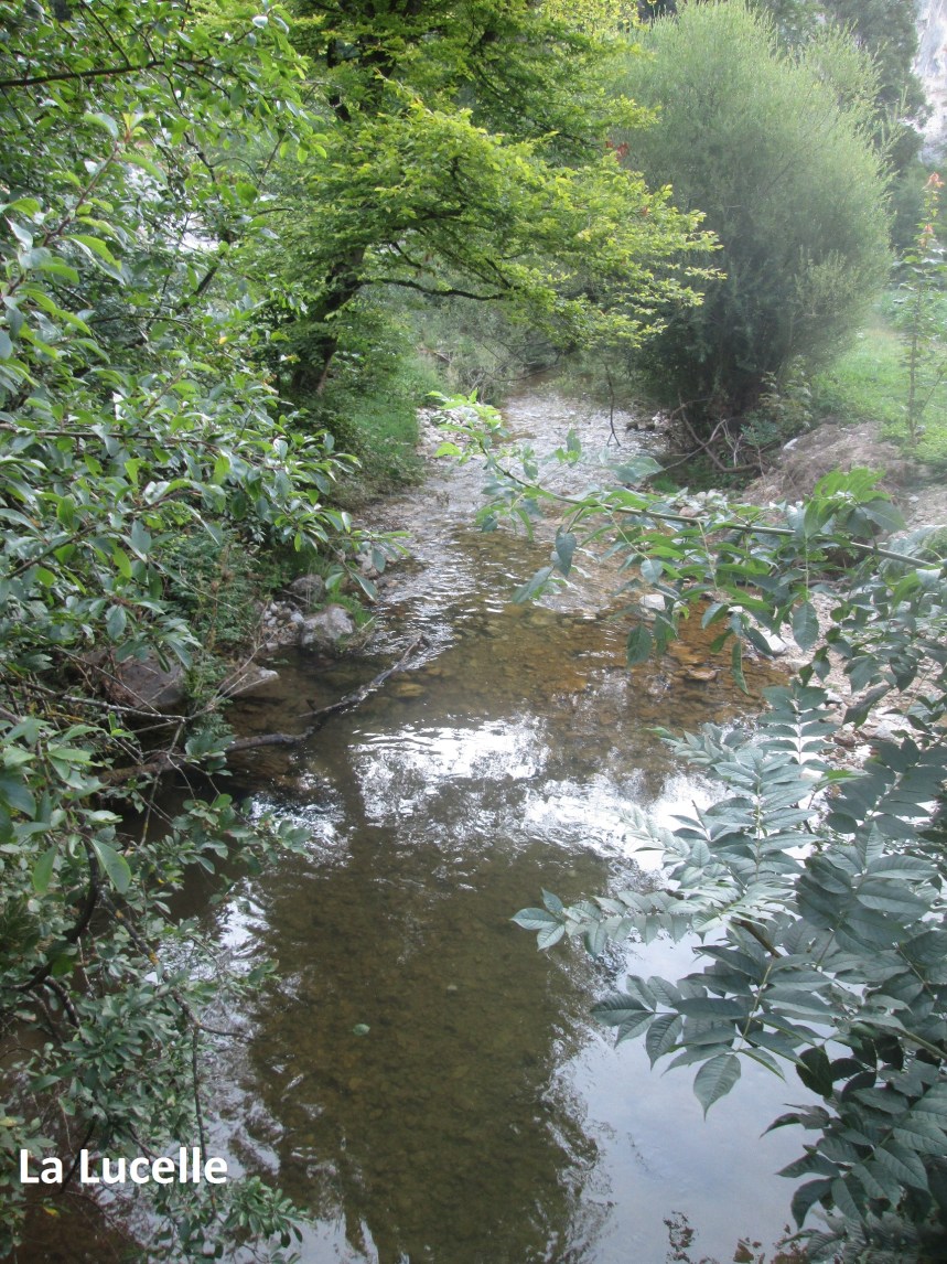
The border itself is a stream: La Lucelle. With a stream to mark the border, there is no need for stone markers, and I did not see any. In fact, it was just after I crossed back into Switzerland that I found my first one, marking the boundary between Solothurn canton and the little Roggenburg enclave of Basel Landschaft.


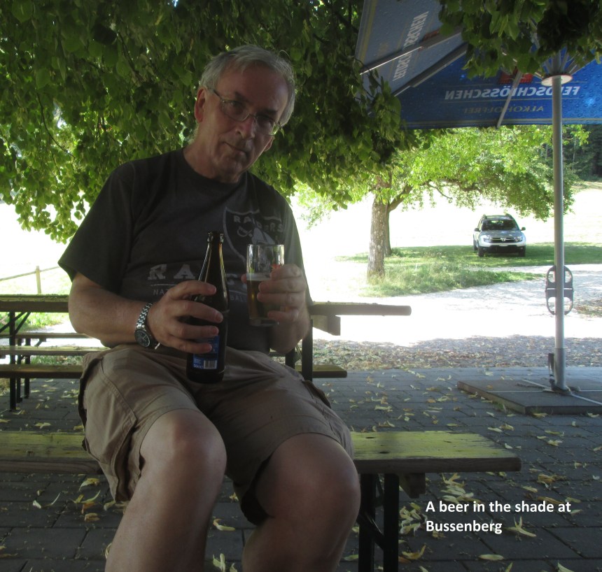
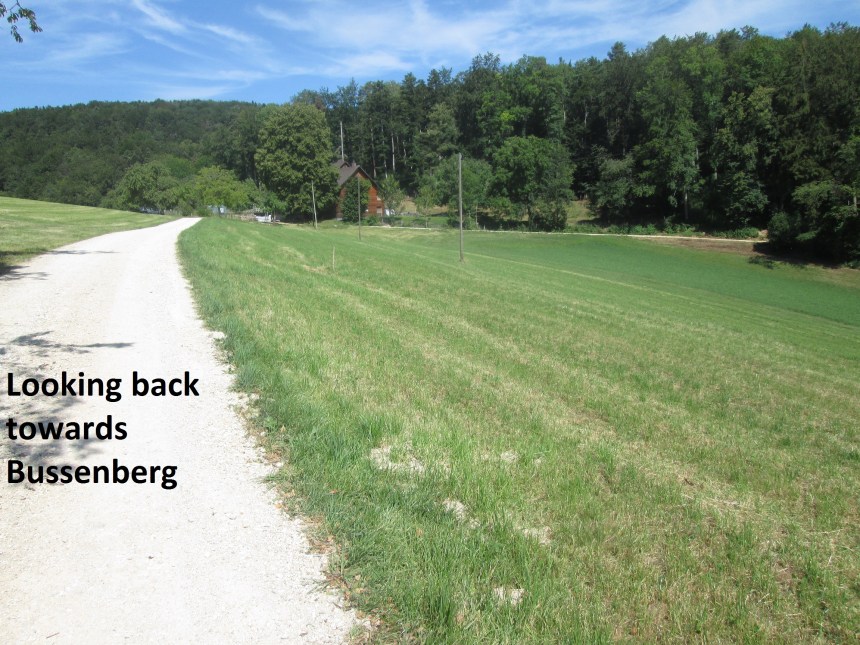
Going up the hill from the French border it is impossible to follow the cantonal border exactly. I had planned to go a little into Solothurn through the forest, but there were signs denying access, so I stayed on the Basel Landschaft side instead. The route took me up a valley, swinging left past the farming settlements of Untere and Obere Ritxigrund to reach the point where Jura, Solothurn and Basel Landschaft cantons meet. I was here before, last time, but in the rain, with no time to delay. With more pleasant weather this time, I took time to look for a marker but there was none. And then I made a short detour westwards on the Hasenschell ridge, where the border between border between Jura canton and the Roggenburg exclave goes through the forest. I found one marker there, but so worn as to be totally illegible. And then it was eastwards again and downhill to Buessenberg, where I was the first customer of the day at one of those wonderful Swiss mountain bars, and where I had my first beer of the day.
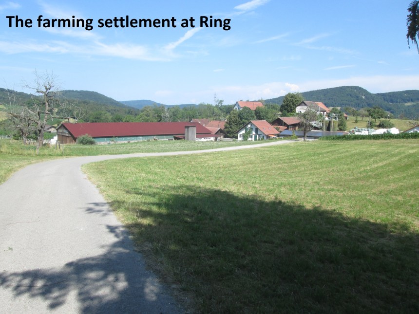
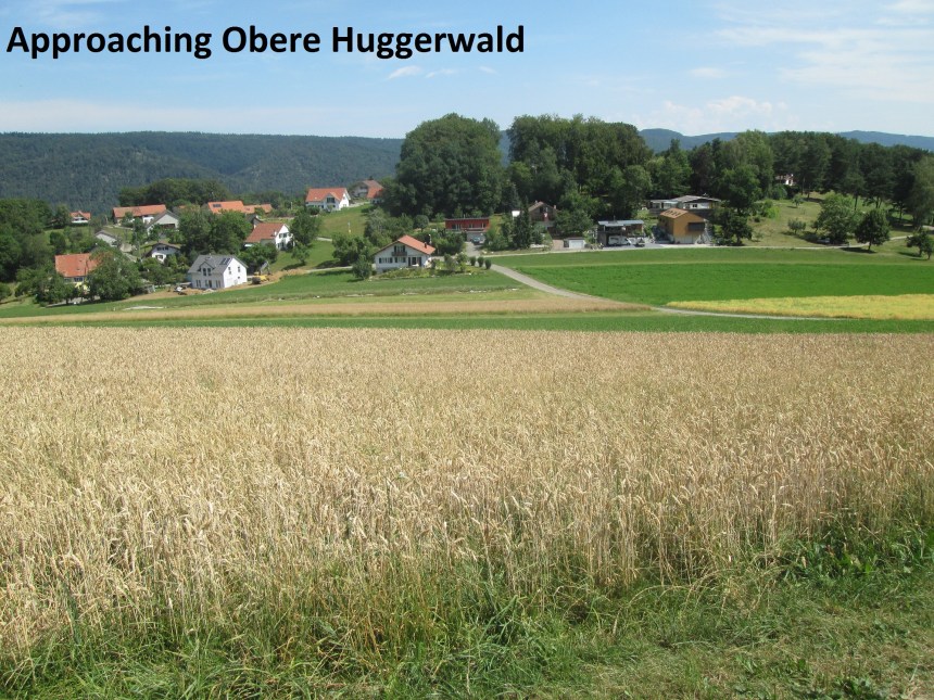
Once refreshed, I continued on eastwards, past Mattenberg, to Obere Ring. I didn’t stop, but kept on going, past the Räschberg hill and onwards, first to Obere Huggerwald, and then Nieder Huggerwald.
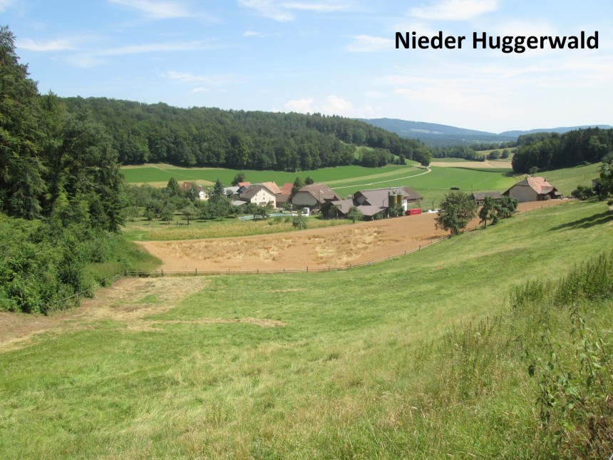
From Nieder Huggerwald, the route descended gradually, mostly through open countryside, until coming to the valley of the Lütxel stream. To get to the floor of the valley meant a series of zig-zags through the forested hillside. And then I was on the road heading into Röschenz. It was still blazing sunshine, and the effects of my beer at Buessenberg were wearing off, so it was time to stop for another one. But as I drank, I could see clouds coming in from the south-west, and the barman told me that there was rain coming, so I did not linger, but left quickly. My route headed north-west on Oberdorfstrasse. And then when that turned right to become Challstrasse, I continued straight onto Burgstrasse.
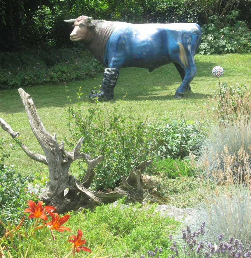
It was in one of the gardens along Burgstrasse that I saw the blue cow, reminding me once again of those lines about purple cows by Gelett Burgess.
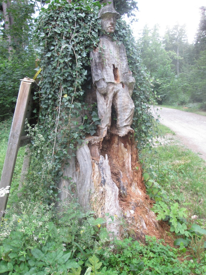
My route rejoined the meandering Challstrasse, and continued on it for a little over one kilometer before taking to the forest trails again. By now it was raining, and it looked like the rain would last a while. I had wanted to make a circuit where the cantonal border curves around to include Burg im Leimenthal in Basel Landschaft, but in the interests of time, I kept going, turning right onto Challfiechtenweg, instead of left. The junction is marked by a wooden sculpture, one that is deteriorating somewhat.
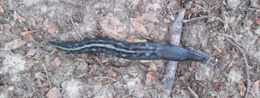
I was back onto waymarked routes now, and soon came to Challpass. I went straight through there, not stopping in the rain, and several kilometers on brought me through Blauenpass and on to Chremerpass. Those who have read others of my pages will know my interest in lower lifeforms, and the rain had brought out the slugs, and I was pleased to see one with an interesting colour pattern near Chremerpass.

As I took the route towards Chremerpass, I came across several border markers. But they did not carry the symbol of Basel. They had the bear symbol that represents Bern canton. Intrigued, when I got home, and before writing this post, I checked out why. I knew that Jura canton had “seceded” from Bern in the 1970s, but what I didn’t know was that the northern part of the Bernese Jura, which is German speaking, had refused to leave with the rest, where French dominates. And so for a while, Roggenburg and the Laufen district remained part of Bern. It was only in the 1990s that the matter was properly rectified and Roggenburg and the Laufen district were transferred to Basel Landschaft. So my supposition on the last stretch that the markers near Roggenburg were replacements was wrong. They were part of a new border that only became official in the 1990s, and putting them in place in 2010 was reasonable enough. But here on the route from Challpass to Chremerpass, the old Bernese border markers remain.


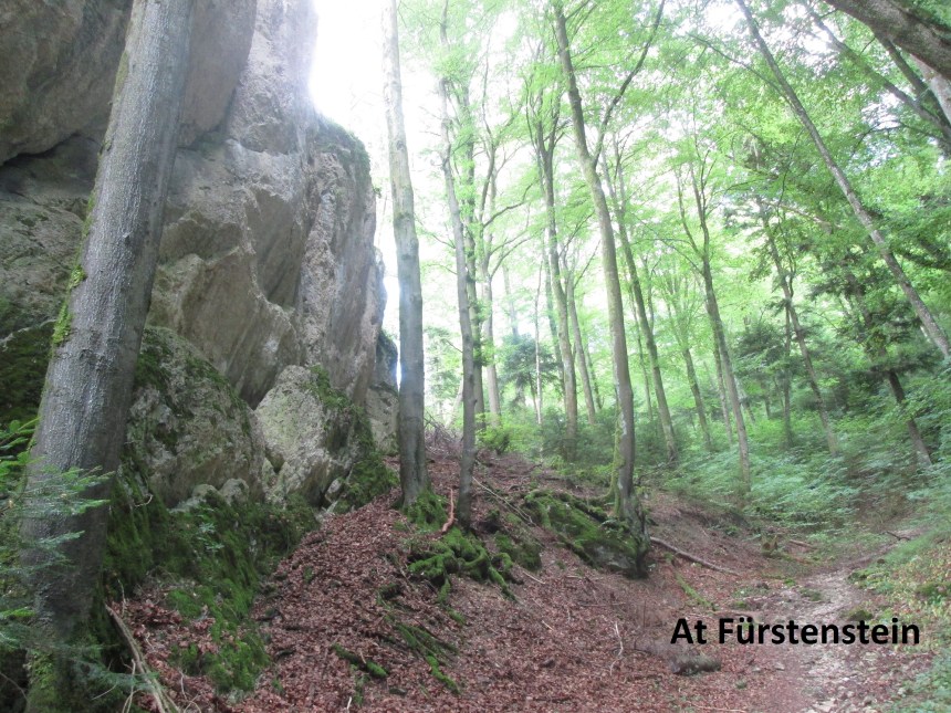
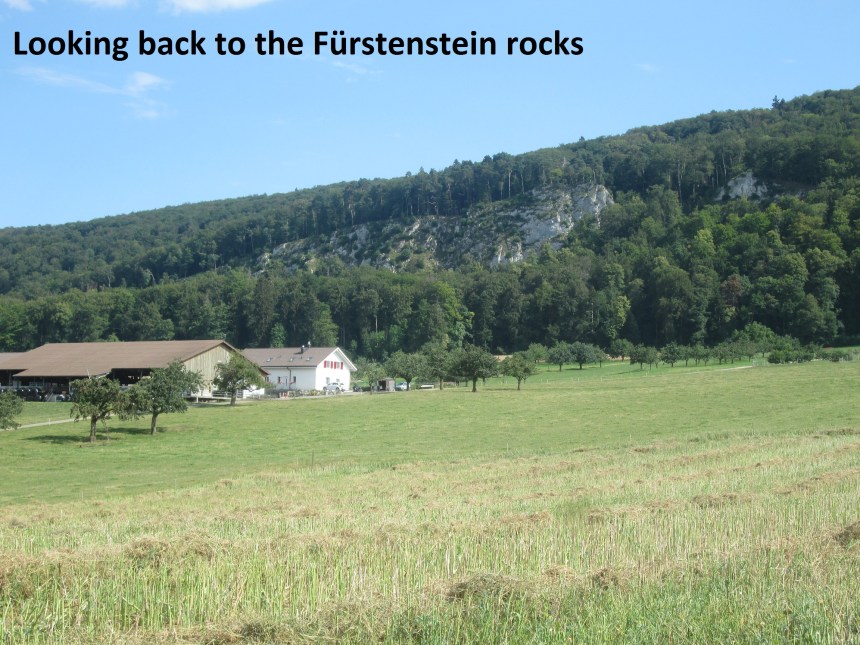
At Chremerpass, I turned left. My route descended rapidly to come to the rocky outcrops at Fürstenstein. This outcrop of rock was once the base of a castle. The ruins are still there, but very little remains apparently. So I did not stop, but I will come back another time to see those ruins.
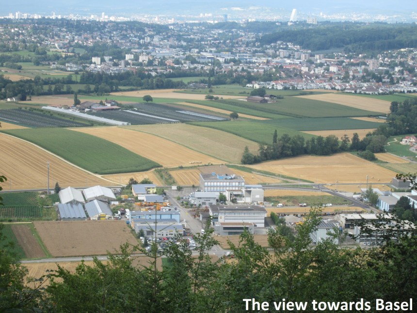
Just below Fürstenstein as I emerged from the forest, I had my first view of the city of Basel to the north, with the unmistakable Roche tower prominent.
I bypassed the village of Hofstetten and went back into the forest to go over the last ridge before reaching Ettingen and the tram back to the city.
Edit added on August 9th:
When I wrote this post, I forgot to include the step count. It was 67541, my highest ever figure for a step count in one day. It equates to about 47km, longer than a marathon.
