
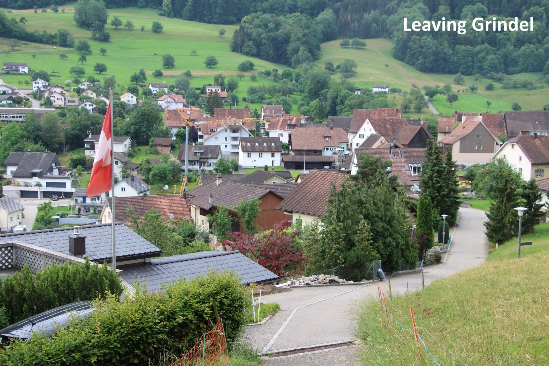
It was a dull morning when I left Grindel. The weather forecast was for a dry day, so I didn’t let the clouds bother me. It was just a short walk up the hill and into the forest, going back over ground I had covered on the last stage. My route went off the waymarked trail and onto the Mätteberg ridge that follows the border between Basel Landschaft and Solothurn cantons. Even though this is not a waymarked route, the path was well worn, so plenty of people must use it.

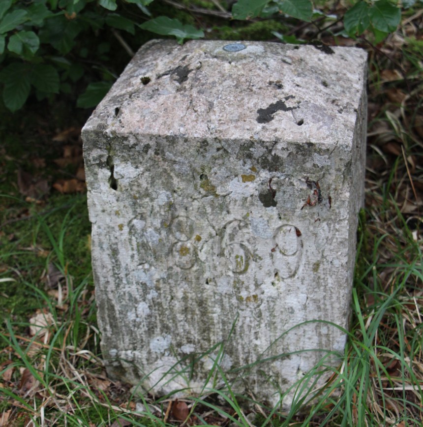
I soon found my first border marker of the day. It was dated 1869. The second one had no date and was almost buried in the undergrowth, with just a simple B on one side and an S on the other. I saw no more on this section of the route. There are great views from the ridge, that even the cloudy day could not spoil.

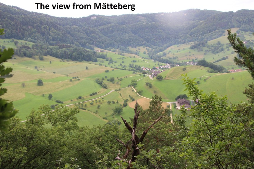
The route then descended quickly by a series of zig-zag paths to reach a road, which brought me back onto waymarked trails. There are a number of routes that would have brought me to Bärschwil and the cantonal border. I chose the one that went through Wiler, and while it was perhaps not the best option, it soon brought me to the old station at Bärschwil.

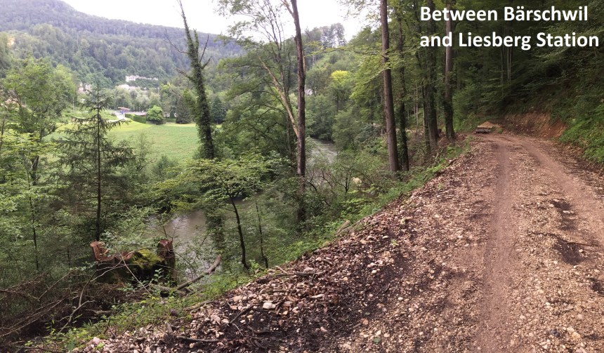
The next stage of the route was easy: a broad track that follows the railway line from Bärschwil to Liesberg Station. “Station” is not a Swiss or German word, but somehow it has been incorporated into the name of this location
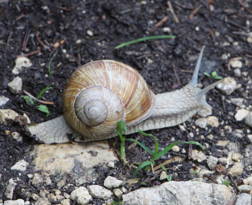
And then I left the railway, taking a somewhat convoluted route that snaked through forest and farmland. There was the farm at Spitxebüel, and another at Wasserberg. By now, the clouds had gone from just being dull to being threatening, and it was clearly going to rain. The only question was when it would start, so I was moving as fast as was practical. But sometimes, even when in a hurry I will stop for wildlife. The damp weather had brought out the molluscs in the forest, and there were plenty of large snails to be seen. I wonder if it is possible to tell the age of these snails by the number of striations on their shell
After Wasserberg, the route heads to the high point of the walk, at Horniberg, just over 800 metres above sea level. Just before that is a point where the three cantons of Basel Landschaft, Solothurn, and Jura meet. I had been disappointed at not seeing a special marker on an earlier section where three cantons met, so I was wondering what would happen for this one. And I was not disappointed. There is an old stone marker. On one side is the date: 1755. The arms of Basel are on a second side, and those of Solothurn opposite. Attached to the fourth side, not carved in the stone, are the arms of Jura canton.
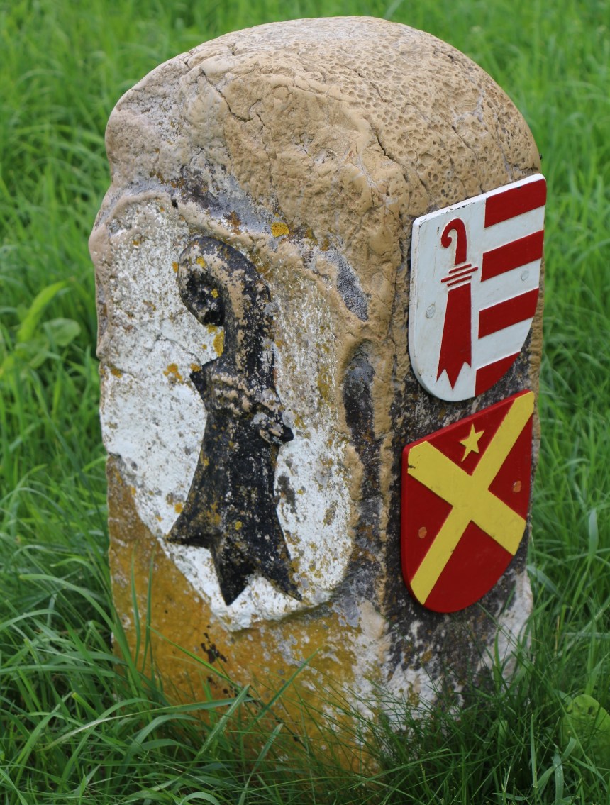
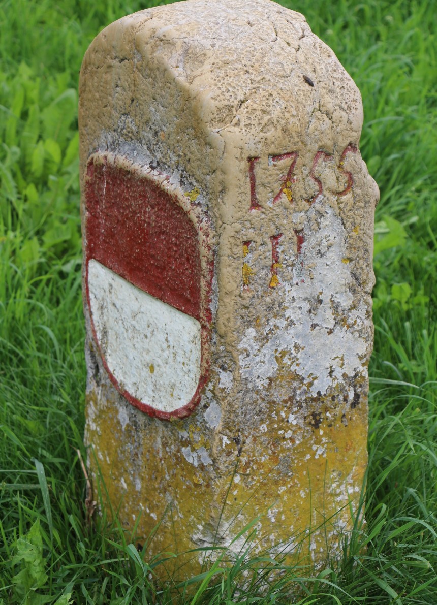
Jura is the newest of Switzerland’s cantons. It was linked to the Swiss Confederation for centuries, but only formally became part of the country in 1815, when it was made part of Bern canton. In 1978, after years of political agitation, it formally separated from Bern, and became a separate canton. So I was wondering if I would see markers with Bernese symbols. The 1755 marker predates the incorporation of Jura into Bern, so I suspect that side of the stone marker may be blank.
It was as I reached the marker that the rain began in earnest, and I had to break out the raingear. By the time I reached the farm at Pierreberg, it was raining steadily. Perhaps I am stubborn, but I was not going to let the rain stop me. So I kept going, turning down towards the farm at Vadry, through the forest and back along the border again, all the way under dark clouds and light but persistent rain. I passed the farm at Hindere Rohrberg, and then back into the forest to reach the road and railway near Haseburg. 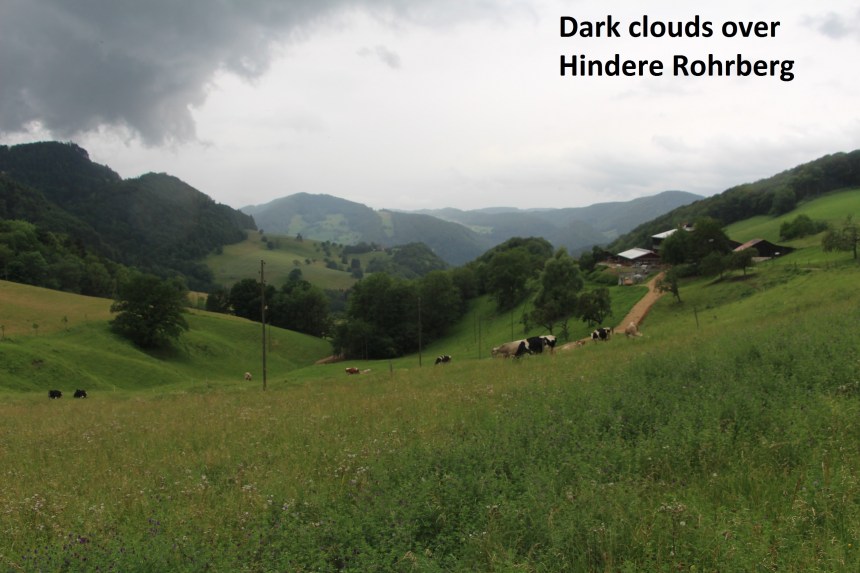
It was raining steadily now, but I kept going. The route is well waymarked and it took me through open fields towards Soyhieres. But I was not heading for that village, so I turned north and back up the hill towards Basel Landschaft. At first the route is easy and well marked, but once past the farm at La Reselle, it enters a forest, and the marks all but disappear. I must have made a mistake somewhere, because I lost the official track. However, the forest is not very dense, and I was able to make my way up the last few hundred metres of the slope by dead reckoning.
And so I reached another point where three cantons meet. Basel Landschaft, Solothurn and Jura meet in a kind of X formation: Basel Landschaft to east and west, an exclave of Solothurn to the north, and Jura to the south. I could find no special marker there. Or maybe I didn’t look hard enough. It was raining, and I was not keen to hang around. My walks will take me back here again someday, and I will take a better look.
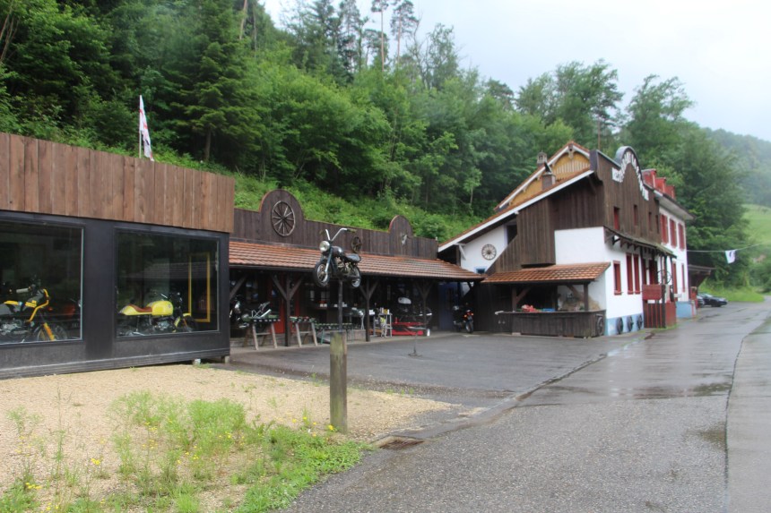
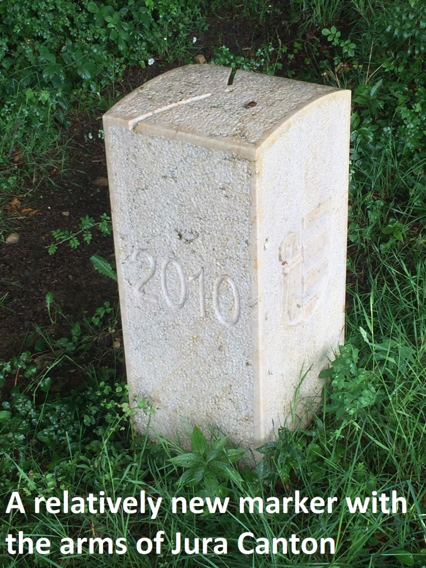
Now I was following the signs for Roggenburg, which is the largest village or only town in this somewhat distant part of Basel Landschaft. I would have liked to follow the border along the Hasenschell ridge, but with the weather as it was, I decided to hold this for another day. But I did come back to the cantonal border as I descended towards Roggenburg. And I noticed something interesting. The markers here, which are close to the road, are all quite new, dating only from 2010, and clearly showing the arms of Jura canton. Whether this is a move to eliminate the traces of Bernese dominance, or whether there were no markers here before, I cannot say.
As I came closer to Roggenberg, the rain stopped and the sun came out. By the time I reached the village, it was actually warm, I had disposed of the raingear, and I could enjoy a beer before taking the bus home.
And the step count for the day? A little over 51,000
