
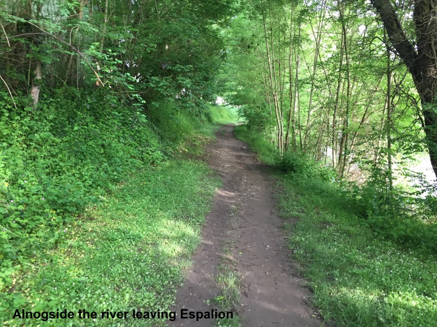
Breakfast this morning was great, and at 08:30, I was ready to go on the route. I made my way down the street to the new bridge in town. It’s not photogenic like the old one, so I am not posting any photos here! From there, the route heads west along the riverbank. At first it is under trees, but private property soon intervened and I was forced inland from the river.
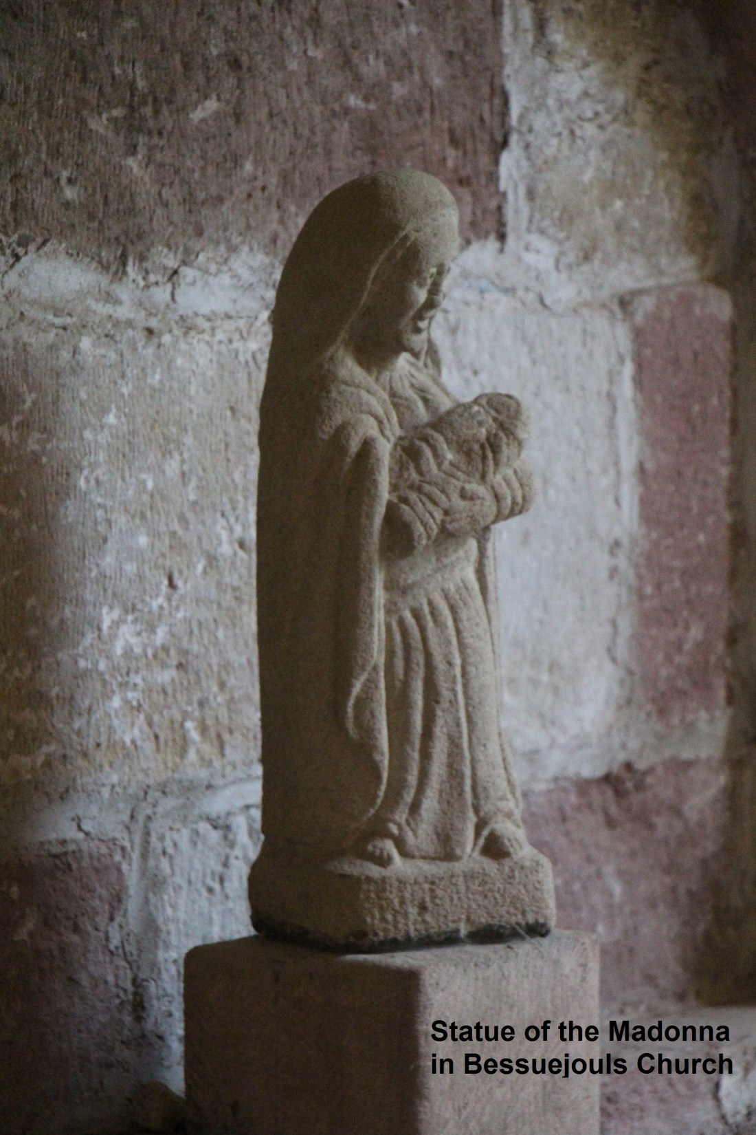
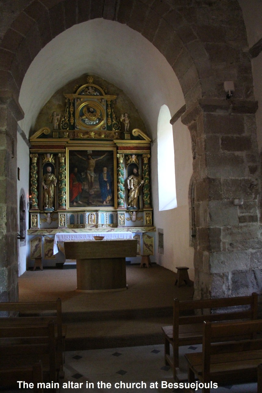
The route went through some of the suburban housing of Espalion, if a place that size can be considered to have suburbs. And then it was out into open country, staying fairly level until reaching Bessuejouls. This tiny village boasts an ancient church from the 11th century, which was open, and a bar, which was not.

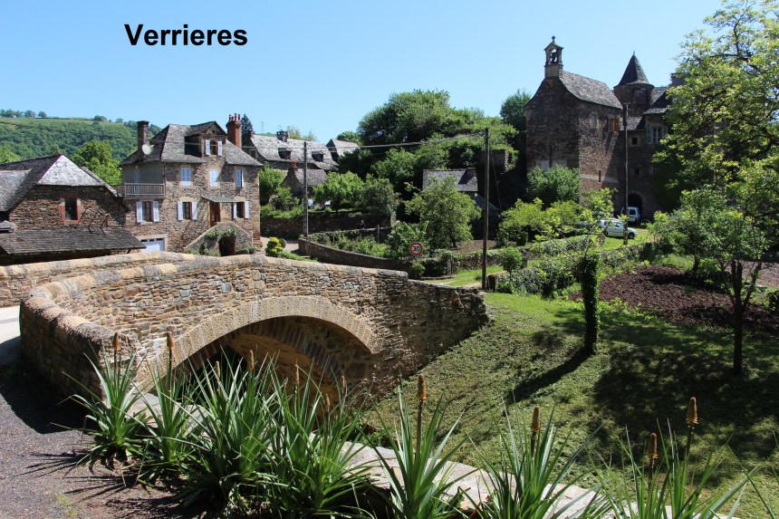
From Bessuejouls, the route went up steeply into the forest. Unfortunately, the passage of many walkers erodes the forest floor, and with the recent rains, it was very muddy. The muddy ground and the steep ascent made it difficult, and it was an effort to ascent the 120 or so metres to the top. And from there it was downhill again almost immediately, and again the way was muddy. But I reached the road safely and followed it to Verrieres. One of the enterprising locals there offers refreshments to walkers, and at this stage they were very welcome. There are village scenes that are sometimes described as “chocolate box”, reminiscent of the days when all self-respecting chocolate manufactures put a pretty country scene on their products. But I have seldom seen anything so fitting for a chocolate box as the view of Verrieres while leaving it.
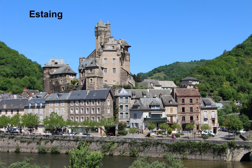
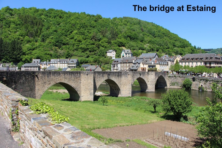
Leaving Verrieres, the route follows the road for a while, and then a path through the forest to reach Estaing. Estaing is another picturesque town with a 15th century chateau and a gothic bridge. It was an ideal place to stop for lunch and admire the scenery as I ate.

But part of the price of a good lunch was a boring afternoon. The route out of Estaing follows the river, but it is a road for the first 3.5km or so. Then it ascends rapidly through the forest, though even when it comes out into the open, it keeps ascending relentlessly. There is nothing much to see on this part of the route. Yes, there are fields and forests, but for almost 16km no interesting villages. Neither are there any bars or enterprising locals selling refreshments. It is just relentless walking, up a bit here, down a bit there. Boring!
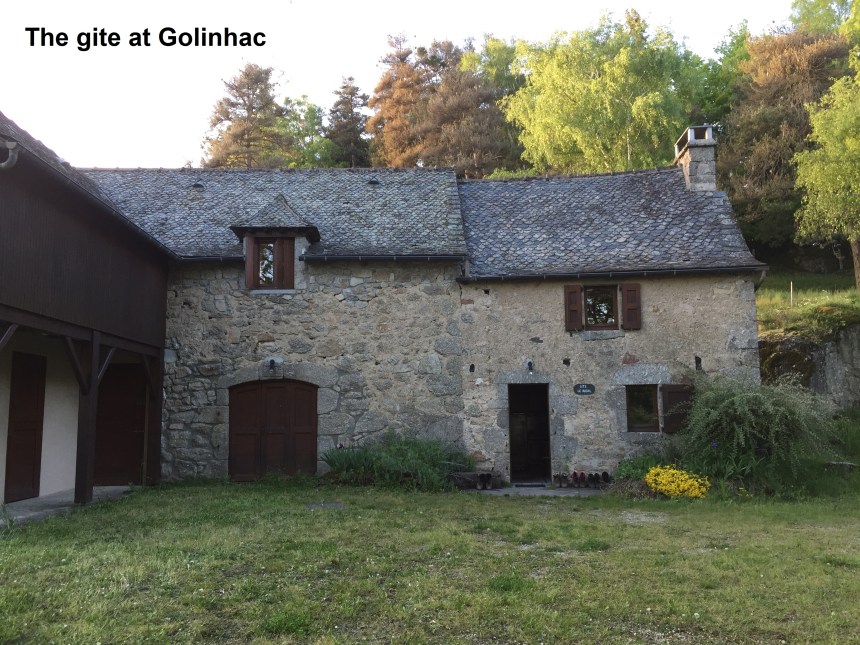
But eventually, I reached my destination for the day in Golinhac. The registration for the gite is in the village, though the gite itself is about half a kilometer before the village. Had I known, I would have dropped my bags there and walked lightly in to register. But I didn’t. Anyway, it all got sorted out: Into the village to register, back to the gite to drop off my bag, and back into the village to get something to eat, before finally coming back to the gite for the night.
And the step count for today was 45608.
